The best running trails around Garciotum
17
runners
6
runs
Jogging around Garciotum offers diverse natural environments in the southeast of the Sierra de San Vicente in Toledo, Spain. The region features rolling foothills, numerous streams that feed into the Alberche River, and elevated points like Canto Amarillo. Historical bridges, such as the 17th-century Puente de los Pilones, add to the character of the running routes.
Best jogging routes around Garciotum
- The most popular jogging route is PR-TO 21 Cabeza del Oso y Pelados Trail, a 6.6 miles (10.6…
Last updated: June 28, 2026
2
runners
10.6km
01:37
580m
580m
This difficult 6.6-mile (10.6 km) jogging trail in Sierra de San Vicente offers challenging climbs and panoramic views.
5
runners
Moderate run. Good fitness required. Mostly paved surfaces. Suitable for all skill levels.

Sign up for free
5
runners
Hard run. Very good fitness required. Mostly paved surfaces. Suitable for all skill levels.
3
runners
7.89km
00:51
30m
30m
Moderate run. Good fitness required. Mostly paved surfaces. Suitable for all skill levels.
3
runners
8.59km
00:54
90m
90m
Moderate run. Good fitness required. Mostly paved surfaces. Suitable for all skill levels.
Our route recommendations are based on thousands of hikes, rides, and runs completed by other people on komoot.
Start today with a free account
Your next adventure awaits.
Login or Signup
Tips from the Community

El Real de San Vicente is located at the foot of the mountain range from which it takes its name, in a prime setting for outdoor activities. Its location is associated with military settlements in the 11th and 12th centuries. Remains of its millennia-long occupation are preserved in the village.
0
0
At the foot of the San Vicente mountain range lies San Román de los Montes, a town whose historical importance is evident in the impressive 16th-century Roll of Justice, crowned with four dog heads, found in its historic center.
0
0
The port of Piélago is located at an altitude of 1,222 meters and is a classic of Toledo cycling. It is located in Real de San Vicente and is a pass between the north and south slopes of the Sierra de San Vicente. Towards the south face there are good views of the Toledo steppe.
0
0

old chapel ruins, from there a view of the castle ruins and an imposing view
1
0


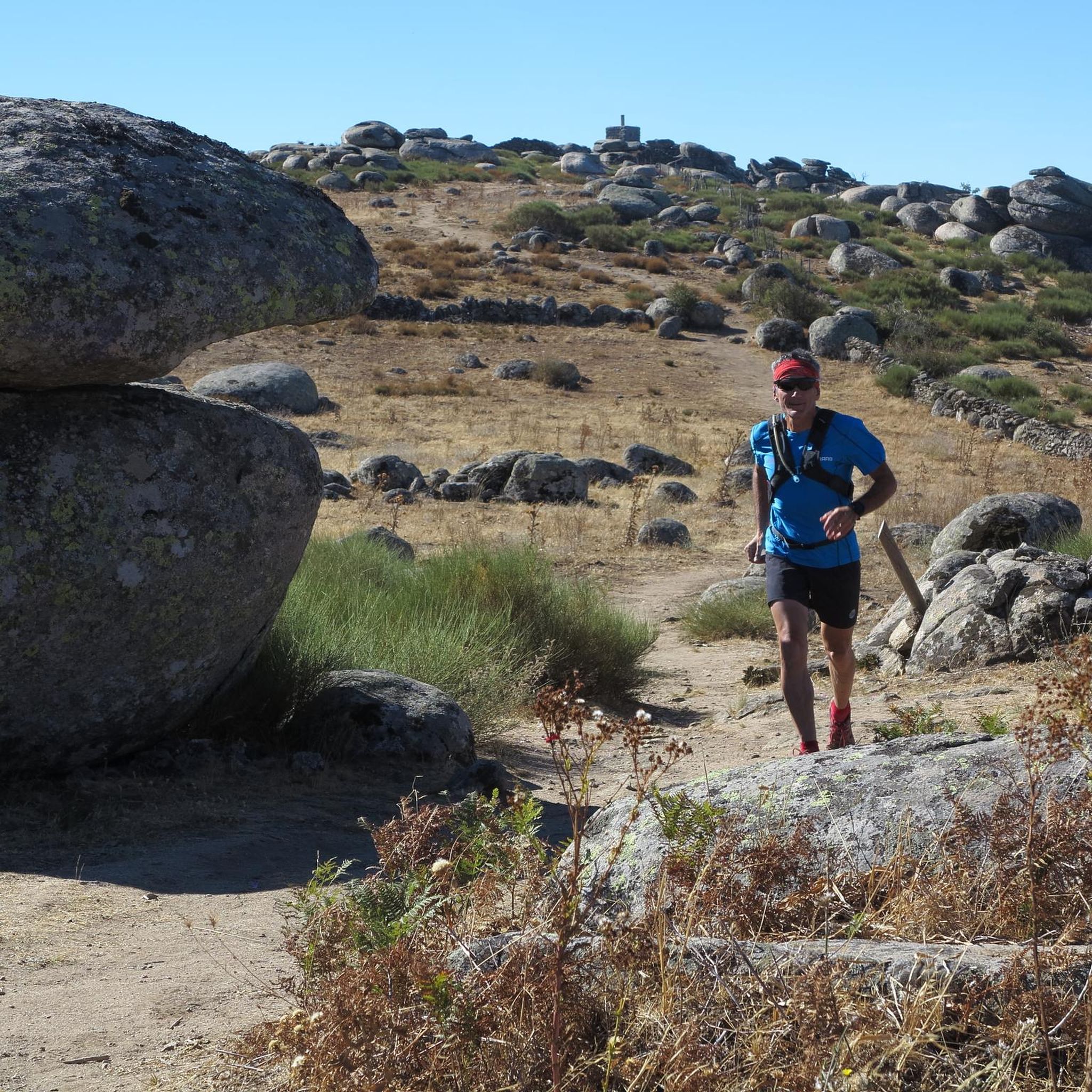
The marked circular route of the Cabeza del Oso and Pelados trail has a total length of 15 kilometers, starting from the village of El Real de San Vicente and crossing one of the most picturesque areas of Toledo. This section of the trail, just under a kilometer long, runs alongside the Bonal slope and crosses a beautiful landscape where, depending on the time of year, you'll enjoy a varied palette of colors in the tree foliage.
2
0
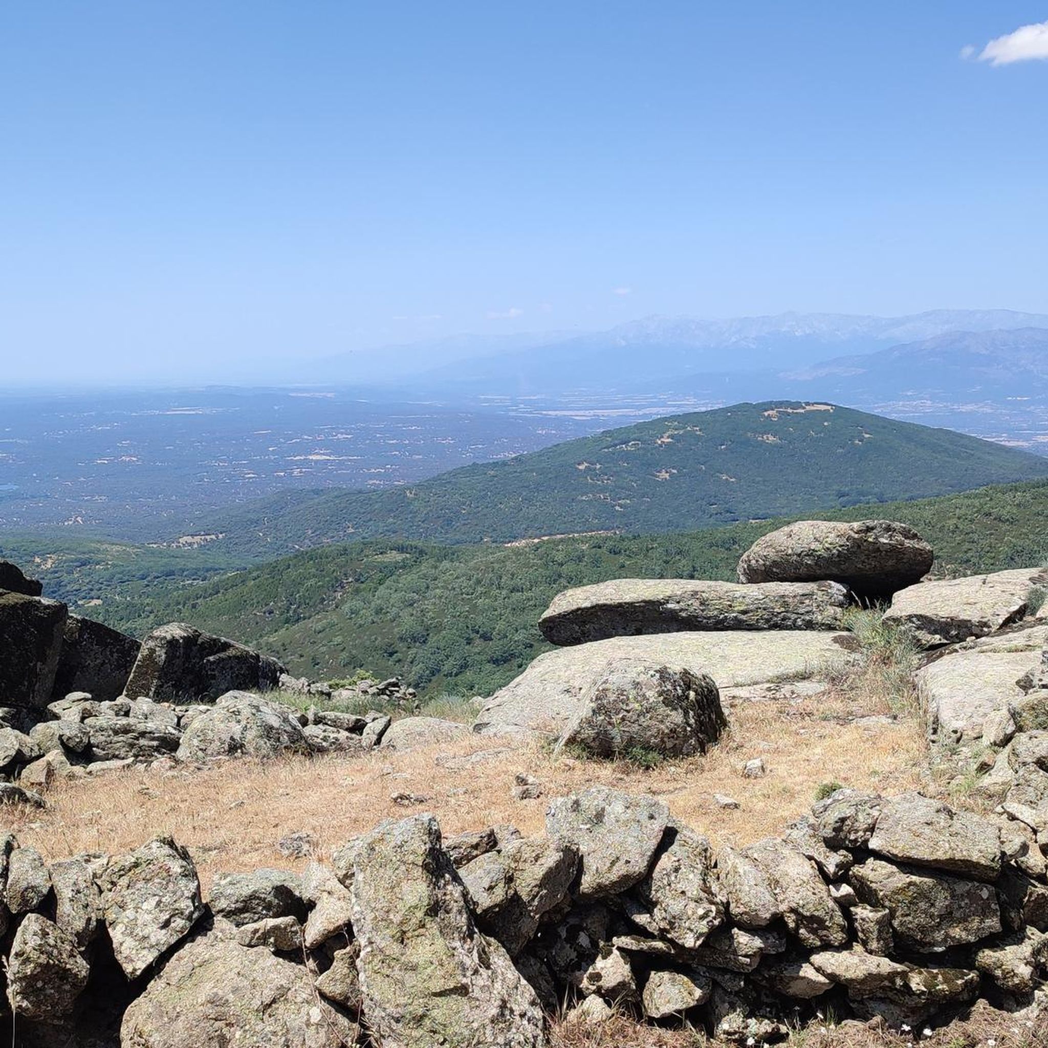
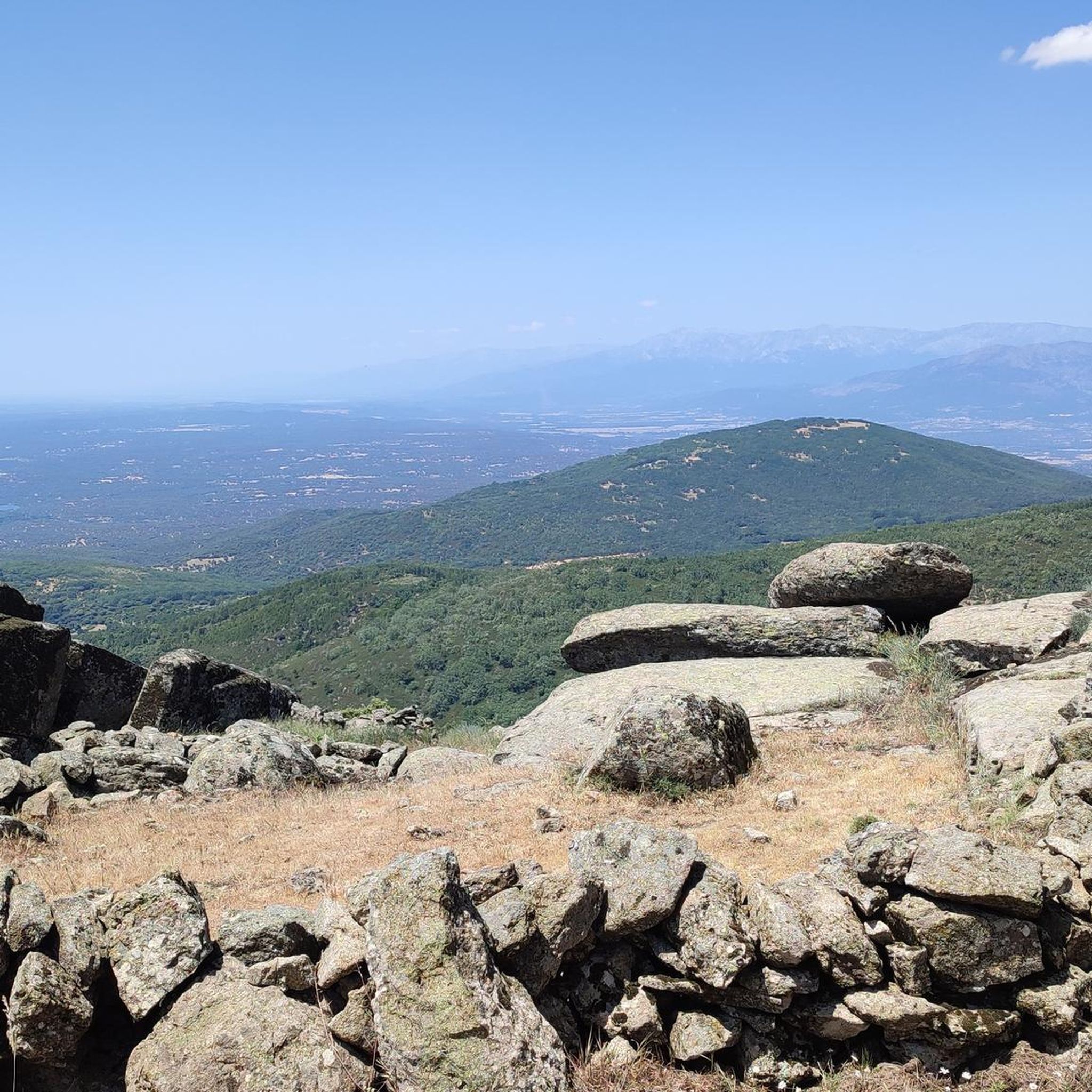
Located at 1,320 meters above sea level, the top of Cerro San Vicente offers wonderful views of this area of Toledo and you can even see the Sierra de Gredos park and Alto Tiétar.
3
0

The two trails that leave the Puerto de San Vicente towards the top of the mountain lead to the landmark of the San Vicente peak (1,321 m). On one side of the summit, with extraordinary views of the Sierra de Gredos and the high Tiétar, are the ruins of a hermitage built in the old Cueva de los Mártires, where three brothers lived fleeing from the Romans. On a hill to the south are the remains of an old fortress of Umayyad origin that was in the hands of the Temple. The hill is the Mons Veneris of the Romans, the Mount of Venus where they worshiped the goddess of love and beauty. And it was also a place of worship for the Vetton peoples who lived in the mountains long before, without a doubt a very special summit. The trail returns to the port of San Vicente through the same site and descends towards El Real de San Vicente along the PR-TO 21, once again crossing the monumental chestnut grove of La Tejea.
1
0
Frequently Asked Questions
How many running routes are available in Garciotum?
Garciotum offers a selection of 6 well-rated running routes, ranging from moderate to difficult, perfect for exploring the diverse natural environment of the Sierra de San Vicente.
Are there any challenging jogging routes with significant elevation gain?
Yes, for those seeking a challenge, routes like the PR-TO 21 Cabeza del Oso y Pelados Trail feature significant elevation gain through the Sierra de San Vicente, providing panoramic views of the Tajo River basin and the Sierra de Gredos. Another challenging option is the El Real de San Vicente – Cabeza del Oso and Pelados Trail loop from El Real de San Vicente.
Can I find running trails that offer scenic views?
Absolutely! Many routes in Garciotum provide stunning vistas. For example, the PR-TO 21 Cabeza del Oso y Pelados Trail offers panoramic views of the Tajo River basin and the Sierra de Gredos. The region's elevated points, like Canto Amarillo, also provide beautiful views of the Sierra de San Vicente.
Are there any circular jogging routes in the area?
Yes, several routes are circular, allowing you to start and end in the same location. The Puerto del Piélago – San Vicente Hill (1320m) loop from Campamento El Piélago is a popular moderate circular path offering varied terrain and picturesque views.
What kind of natural features can I expect to see along the running paths?
The jogging paths in Garciotum are rich with natural beauty. You'll encounter rolling foothills, numerous streams that feed into the Alberche River, and elevated points offering panoramic views. Keep an eye out for small waterfalls, especially near the Puente de los Pilones, and enjoy the vibrant flora and fauna.
Are there any historical landmarks or points of interest along the routes?
Yes, the area is dotted with historical charm. You can discover ancient structures like the 17th-century Puente de los Pilones over the Saucedoso stream, and a 'Roman bridge' over the Las Cañadillas stream. Some routes also pass by old oil and flour mills, and lime kilns, adding a historical dimension to your run. You might also see the Rollo de Justicia of Castillo de Bayuela.
What do other runners enjoy most about jogging in Garciotum?
The komoot community frequently praises Garciotum for its diverse natural environments and scenic trails. Runners particularly enjoy the varied terrain, from rolling foothills to challenging climbs, and the rewarding panoramic views of the Sierra de San Vicente and beyond.
Are there any moderate running routes suitable for a steady pace?
Certainly. Many routes are classified as moderate, perfect for a steady jog. The San Román de los Montes loop from San Román de los Montes is a great example, offering a comfortable distance and elevation for a moderate run.
What is the best time of year to go jogging in Garciotum?
Garciotum offers a refreshing and engaging outdoor experience throughout all seasons. The diverse natural environment, with its streams and varied terrain, makes it enjoyable year-round, though spring and autumn often provide the most comfortable temperatures for running.
Are there any running routes that start near towns or villages?
Yes, some routes conveniently start from nearby settlements. For instance, the Running loop from Cazalegas begins in Cazalegas, making it accessible for those staying or visiting that area.
What kind of terrain can I expect on the jogging trails?
The jogging trails in Garciotum offer a varied terrain, characterized by rolling foothills, winding streams, and elevated viewpoints. You'll find paths that range from relatively flat sections to more challenging climbs, providing a diverse experience for runners.
Most popular attractions around Garciotum

Get inspired with the komoot mobile app


Explore more
Browse the best Running Trails & Routes in other regions.
