The best MTB trails around Garciotum
4.6
(32)
419
riders
67
rides
Mountain bike trails Garciotum are set within the Sierra de San Vicente, offering a diverse landscape for outdoor enthusiasts. The region features a blend of hills, dehesas, and oak groves, providing varied terrain for mountain biking. Numerous streams, some with ancient bridges, crisscross the area, adding to the scenic routes. Trails often include significant elevation gains and different types of surfaces, from dirt roads to more rugged sections.
Best mountain bike trails around Garciotum
- The most popular mountain bike trail…
Last updated: June 24, 2026
1
riders
36.9km
04:16
1,370m
1,370m
Hard mountain bike ride. Very good fitness required. Suitable for all skill levels.
5.0
(1)
35
riders
49.0km
04:21
1,000m
1,000m
Hard mountain bike ride. Very good fitness required. Advanced riding skills necessary.

Sign up for free
32
riders
Moderate mountain bike ride. Good fitness required. Advanced riding skills necessary.
20
riders
Moderate mountain bike ride. Good fitness required. Suitable for all skill levels.
9
riders
49.8km
04:59
1,530m
1,530m
Hard mountain bike ride. Very good fitness required. Advanced riding skills necessary.
Get access to more routes and recommendations from other explorers.
Sign up for free
Already have an account?
Our route recommendations are based on thousands of hikes, rides, and runs completed by other people on komoot.
Start today with a free account
Your next adventure awaits.
Login or Signup
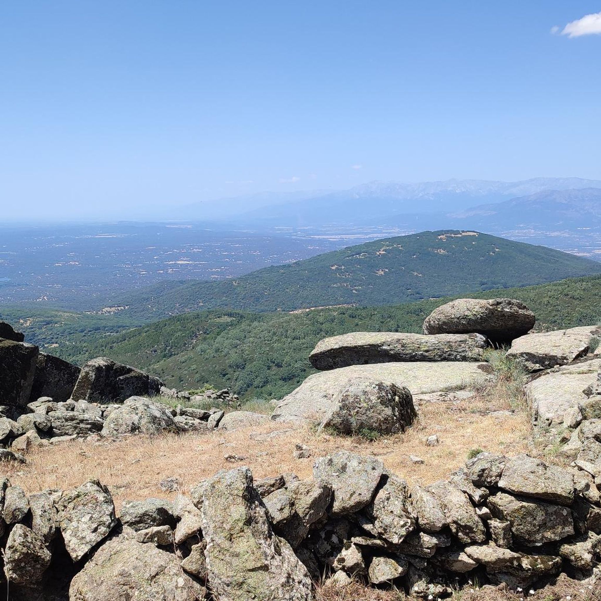
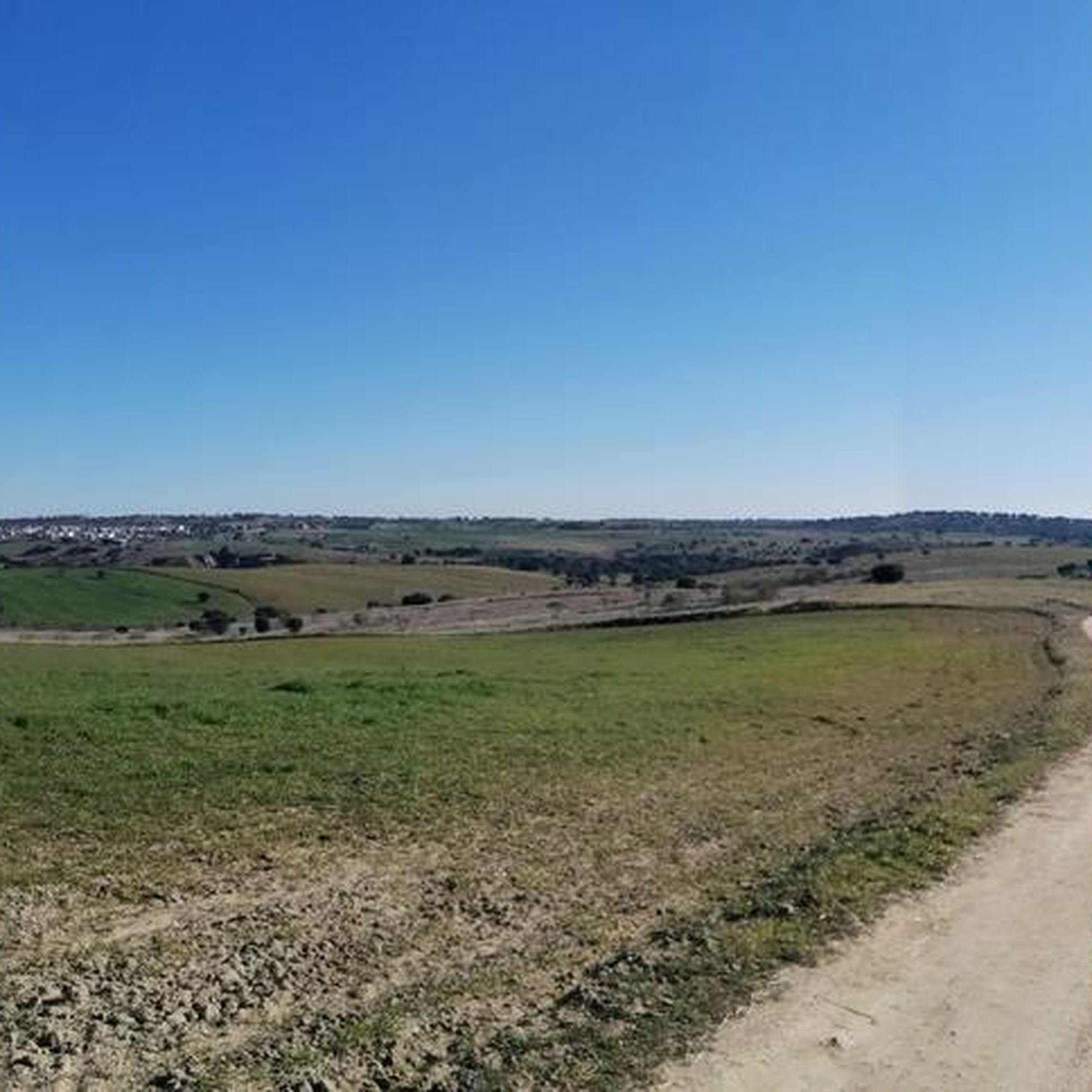
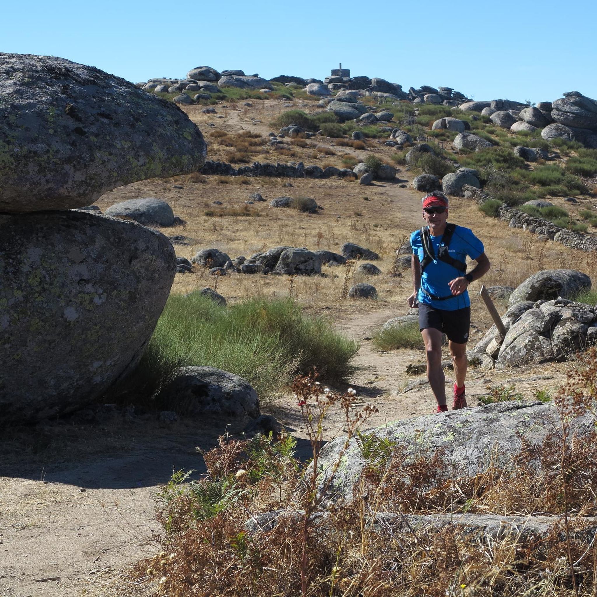

Tips from the Community


It's worth seeing, especially in spring, when the stream is usually full of water and there's a small waterfall.
0
1

They have also painted and covered all the signs and posters that indicated the GR or hiking routes. I didn't know that you could prevent passage through a GR
0
0
On the way up to Pico Cruces on this side they have built a wall and put up a no-entry sign.
0
0
At this point on the GR of the Senda Viriato they have built a stone wall with a no entry sign. As of May 19, 2024. We passed by the side because we couldn't turn around. You can continue without problem, the only thing is that on the way up to Pico Cruces there is another similar wall so you have to continue along the main track.
0
0
From here begins a descent with somewhat complicated broken terrain and a lot of loose stone.
0
0

The Church of St. Mary Magdalene in Garciotum is a 15th-century Gothic-Renaissance church. You'll probably notice that the tower is in a different style; it dates back to the 17th century.
1
0

Castillo de Bayuela is a town in the Sierra de San Vicente region that has monuments that prove its historical importance, such as the Gothic-Renaissance church of San Andrés, the jurisdictional roll or some vetone boars. In addition, it has a series of ideal services for the traveler.
2
0
Frequently Asked Questions
How many mountain bike trails are available around Garciotum?
There are over 60 mountain bike trails around Garciotum, offering a wide range of options for different skill levels. The komoot community has explored 69 routes in total.
What are the difficulty levels of mountain bike trails in Garciotum?
The trails around Garciotum cater to various abilities. You'll find 5 easy routes, 39 moderate routes, and 25 difficult routes, ensuring there's a suitable challenge for every mountain biker.
What kind of terrain can I expect on mountain bike trails in Garciotum?
Mountain bike trails in Garciotum traverse a diverse landscape, including the hills of the Sierra de San Vicente, wooded pastures (dehesas), and oak groves. You can expect varied surfaces, from dirt roads and paths to more rugged and technical sections, often with significant elevation gains. Numerous streams also crisscross the area, adding to the scenic variety.
Are there any challenging mountain bike routes for experienced riders?
Yes, for experienced riders seeking a challenge, Garciotum offers several demanding routes. One such option is the Collado Viewpoint – No entry loop from Castillo de Bayuela, a difficult 49.8 km trail with over 1500 meters of elevation gain, providing a strenuous and rewarding ride.
Can I find mountain bike routes that are circular?
Many of the mountain bike routes around Garciotum are designed as circular loops, allowing you to start and end at the same point. An example is the View of the Tagus Valley – Jurisdictional Pillory loop from Castillo de Bayuela, a moderate 32.6 km route.
Are there any mountain bike trails that pass by water features or waterfalls?
Yes, the region's landscape includes numerous streams (arroyos). The Puente de Los Pilones – Livestock landscape loop from Castillo de Bayuela is a notable route that passes by the Puente de los Pilones, a 19th-century bridge over the Arroyo Saucedoso, situated in a beautiful setting with small waterfalls.
What are some interesting landmarks or viewpoints I can see along the mountain bike trails?
The trails often offer impressive views and pass by historical sites. You can enjoy panoramic vistas from elevated spots like Canto Amarillo or San Vicente Hill. Routes may also take you past the Rollo de Justicia of Castillo de Bayuela or through charming settlements like the Main Square of Pelahustán.
What do other mountain bikers enjoy the most about mountain biking in Garciotum?
The mountain bike trails in Garciotum are highly rated by the komoot community, with an average score of 4.6 stars from over 29 reviews. Riders often praise the diverse terrain, the significant climbs offering panoramic views, and the blend of natural beauty with historical features like ancient bridges and oak groves.
Are there any family-friendly mountain bike trails in Garciotum?
While many routes involve significant climbs, there are 5 easy mountain bike routes around Garciotum that could be suitable for families or those looking for a less strenuous ride. These trails typically feature gentler gradients and less technical terrain.
Is it possible to access mountain bike trails using public transport?
Garciotum is a rural area, and public transport options directly to trailheads may be limited. It is generally recommended to travel by car to access the starting points of the mountain bike routes. Parking information is often available on individual route pages.
Are there places to eat or stay near the mountain bike trails in Garciotum?
Garciotum and nearby villages offer local cafes and pubs where you can refuel after your ride. For accommodation, you can find rural houses and guesthouses in Garciotum and the surrounding area, providing a comfortable base for your mountain biking adventures.
What is the best time of year for mountain biking in Garciotum?
The best time for mountain biking in Garciotum is typically during spring and autumn when temperatures are milder. Summers can be very hot, making early morning or late afternoon rides preferable. Winters are generally mild but can bring occasional rain, which might affect trail conditions.
Most popular attractions around Garciotum

Get inspired with the komoot mobile app


Explore more
Browse the best MTB trails in other regions.
