The best running trails around Parco Naturale di Conca Cialancia
4.4
(7)
1,024
runners
49
runs
Jogging around Parco Naturale di Conca Cialancia offers diverse alpine landscapes within the Metropolitan City of Turin, Italy. The region features elevations ranging from 1796m to 2856m, characterized by prostrate shrubs, mountain steppes, and numerous ravines. Prominent natural features include the Rio Balma, Lago Lauson, and the "Conca dei 13 Laghi," providing varied terrain for running. The park's trail network includes well-maintained dirt roads, mule tracks, and former military roads, suitable for different running experiences.
Best jogging routes around Parco…
Last updated: July 15, 2026
4
runners
6.62km
01:07
260m
260m
Hard run. Good fitness required. Sure-footedness, sturdy shoes and alpine experience required.
17
runners
14.7km
02:10
810m
810m
Hard run. Very good fitness required. Mostly paved surfaces. Suitable for all skill levels.

Sign up for free
8
runners
6.64km
00:55
250m
260m
Hard run. Good fitness required. Sure-footedness, sturdy shoes and alpine experience required.
25
runners
5.24km
00:39
170m
170m
Moderate run. Good fitness required. Mostly paved surfaces. Suitable for all skill levels.
17
runners
5.65km
01:22
550m
550m
Hard run. Very good fitness required. Sure-footedness, sturdy shoes and alpine experience required.
Get access to more routes and recommendations from other explorers.
Sign up for free
Already have an account?
Our route recommendations are based on thousands of hikes, rides, and runs completed by other people on komoot.
Start today with a free account
Your next adventure awaits.
Login or Signup
Popular around Parco Naturale di Conca Cialancia
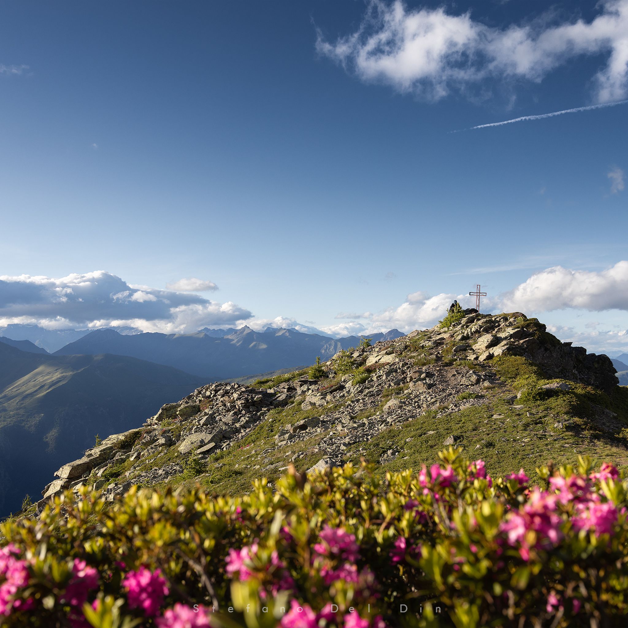
Hiking around Parco Naturale di Conca Cialancia
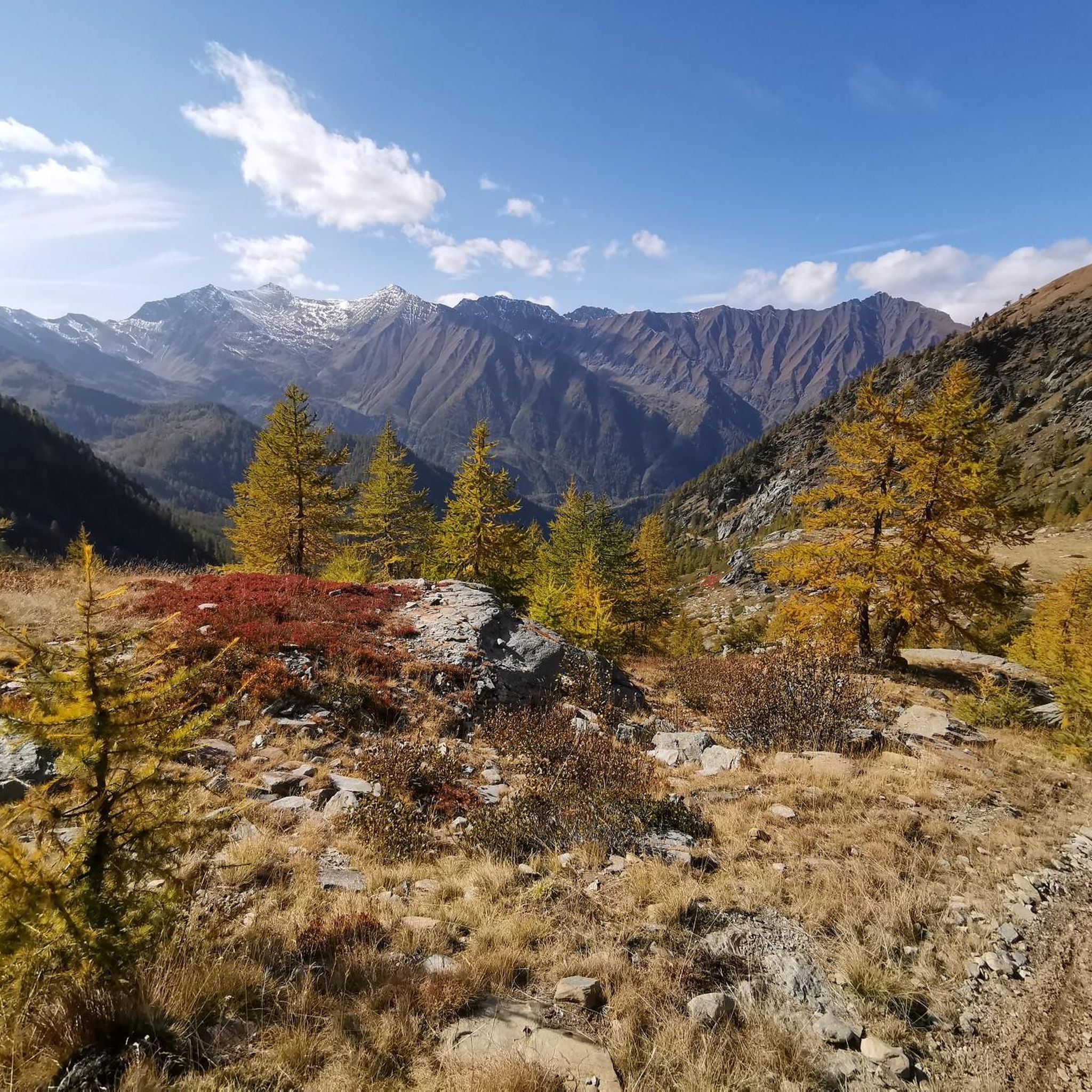
Cycling around Parco Naturale di Conca Cialancia
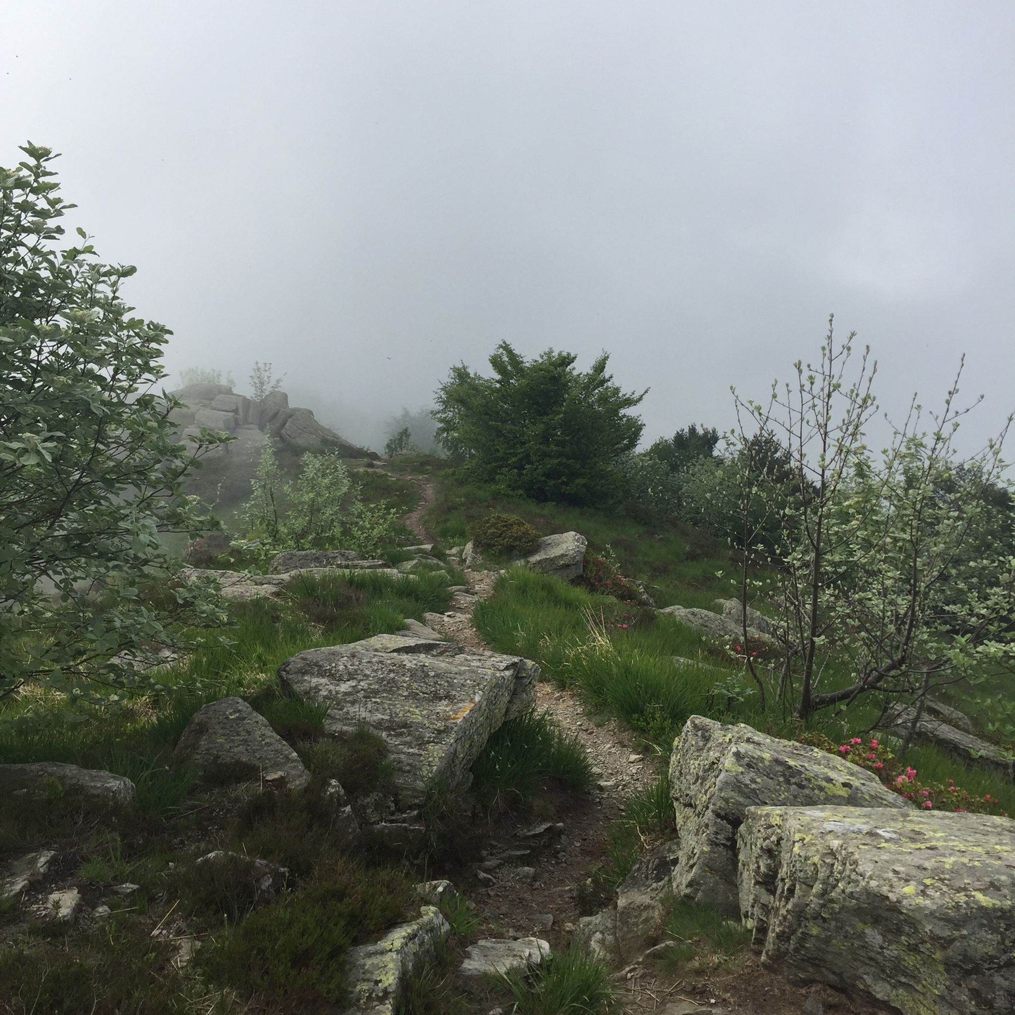
MTB Trails around Parco Naturale di Conca Cialancia
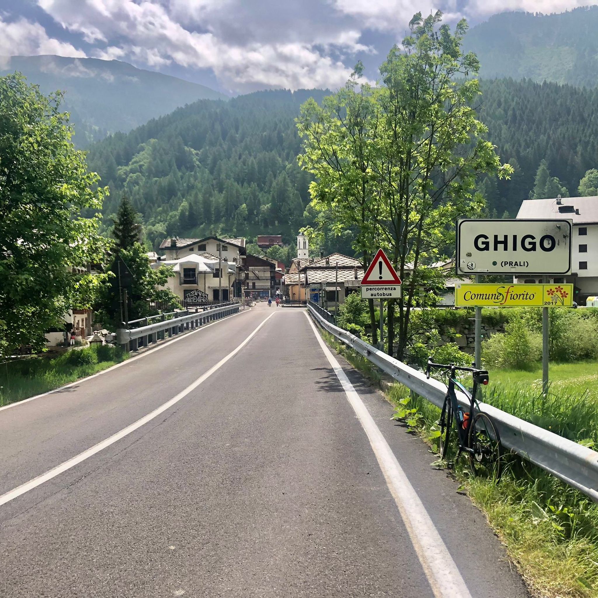
Road Cycling Routes around Parco Naturale di Conca Cialancia
Gravel biking around Parco Naturale di Conca Cialancia
Mountain Hikes around Parco Naturale di Conca Cialancia
Tips from the Community

view of the 13 lakes basin
1
0

excellent trip with the possibility of loops
0
0

A beautiful circular hike. Beware, however, of the misleading two-hour indication! Messner might be able to manage it. If you're a regular hiker, no less than three hours or more... WARNING: Once you reach Lake Cannoni or Ramella, if you suffer from vertigo, do not follow the signs for trail A on the right. There are exposed sections, and one section is equipped with a damaged rope. Turn left and you will rejoin the outward route at the level of the early 1900s forts.
1
0

From here on down the path disappears, better to go along the track
0
0

Go out into nature equipped with mountain clothing
0
0

Comfortable footwear for mostly soft terrain
0
0

Bobbio Pellice, founded in 1277 by the Counts of Luserna, formerly known as "Montebobbio", is one of the treasures of the "Valdesi Valleys". This place is steeped in history that has its roots in one of the most lively and prolific periods of medieval Europe. It is linked to the Waldensian movement throughout the eight centuries of its existence: suppressed by the Franco-Savoyard forces and forced into exile in 1686, they returned three years later during the "Glorious Return". A memorial stone stands in Borgata Sibaud, to celebrate the second centenary of the "Glorious Return".
2
0
Frequently Asked Questions
How many running routes are available in Parco Naturale di Conca Cialancia?
There are over 50 dedicated running routes in Parco Naturale di Conca Cialancia. These routes cater to various fitness levels, with options ranging from easier paths to more challenging alpine runs.
What kind of terrain will I encounter on the running trails?
You'll experience diverse alpine landscapes, with elevations ranging from 1796m to 2856m. The terrain includes well-maintained dirt roads, mule tracks, and former military roads. While some initial sections might be paved, they quickly transition to natural running surfaces. Expect prostrate shrubs, mountain steppes, and areas with mountain alder.
Are there any easy or beginner-friendly running routes in the park?
Yes, Parco Naturale di Conca Cialancia offers a few easier routes, typically up to 5 km with around 100 m of elevation gain, suitable for all skill levels. These often feature well-maintained surfaces, making them ideal for beginners or those seeking a less strenuous run.
What natural features or landmarks can I see while jogging?
The park is rich in natural beauty. You can discover picturesque lakes like Lake Lauson, nestled in a suspended basin, and the spectacular "Conca dei 13 Laghi" near Cialancia Pass. The Balma Pass also offers stunning views. The Rio Balma, which shaped the Conca Cialancia, is another prominent feature.
Are there any circular running routes available?
Yes, many routes in the park are circular, offering varied scenery without retracing your steps. For example, the "Ring of the 13 Lakes and Cialancia Pass" is a notable circular tour starting from Prali. You can also explore routes like Bric Rond (2540 m) – Lago Verde Piccolo loop from Prali or Balma Pass loop from Prali.
Can I bring my dog on the running trails?
While the guide doesn't specify dog-friendly rules, generally, natural parks in Italy allow dogs on trails if kept on a leash. It's always advisable to check local park regulations or signage upon arrival to ensure compliance and protect local wildlife.
What is the best time of year for running in Parco Naturale di Conca Cialancia?
The warmer months, from late spring to early autumn, are generally the best for running. During this period, paths are clear of snow, and the metropolitan city of Turin ensures trails are maintained, including vegetation clearance in early summer. Higher altitudes might still have snow earlier in the season.
What kind of wildlife might I spot while running?
As you traverse the trails, you might encounter typical alpine ungulates such as chamois, deer, and roe deer. Other animals include variable hares, marmots, foxes, and ermines. Birdwatchers might spot ptarmigans, black grouse, rock partridges, and alpine finches. The Lanza's salamander, endemic to the Cottian Alps, is also present.
Are there any challenging running routes for experienced runners?
Absolutely. The park features many difficult routes, often exceeding 15 km or 300 m of elevation gain, requiring good training and sure footing. Examples include Balma Pass loop from Prali, which traverses challenging alpine terrain, and Miniera Sapatlé – capannoni miniere loop from Prali.
What do other runners say about the trails in Parco Naturale di Conca Cialancia?
The routes in Parco Naturale di Conca Cialancia are highly rated by the komoot community, with an average score of 5.0 stars from more than 4 reviews. Runners often praise the diverse alpine landscapes, the well-maintained trails, and the opportunity to explore both natural beauty and historical mining areas.
Are there routes that explore historical mining areas?
Yes, some routes lead through historical mining areas, offering a unique blend of natural scenery and cultural heritage. For instance, the Miniera Sapatlé – capannoni miniere loop from Prali is an excellent option for exploring these sites.
What is the elevation range for running in the park?
The park's elevation ranges significantly, from 1796m to 2856m. This offers a variety of experiences, from lower-altitude paths to high-alpine runs with considerable ascents and descents.
Most popular routes around Parco Naturale di Conca Cialancia
Most popular attractions around Parco Naturale di Conca Cialancia

Get inspired with the komoot mobile app


Explore more
Browse the best Running Trails & Routes in other regions.
