The best walks and hikes around Parco Naturale di Conca Cialancia
4.4
(1599)
8,251
hikers
281
hikes
Hiking trails around Parco Naturale di Conca Cialancia traverse a landscape characterized by alpine valleys, forested slopes, and rocky peaks. The region features a mix of historical military roads and natural paths leading to high-altitude bivouacs and panoramic viewpoints. Elevation changes are common, offering varied terrain for different hiking abilities.
Best hiking trails around Parco Naturale di Conca Cialancia
- The most popular hiking route is Conca Cialancia Military Road, a 8.0 miles (12.9 km) trail that takes 4 hours 8 minutes to complete. This moderate route follows a historic path through the natural park.
- Another top favourite among local hikers is Gran Truc Summit Trail (via Route 305), a difficult 8.3 miles (13.3 km) path. This trail leads to a summit, offering extensive views of the surrounding alpine environment.
- Local hikers also love the Conca Cialancia Trail to Bivacco Formaggino (via Route 203), a 4.0 miles (6.5 km) trail leading through mountain terrain, often completed in about 1 hour 58 minutes.
- Hiking around Parco Naturale di Conca Cialancia is defined by alpine valleys, forested slopes, and rocky summits. The network offers options for different ability levels, from moderate paths to challenging summit ascents.
- The routes in Parco Naturale di Conca Cialancia are highly rated by the komoot community with an average score of 4.4 stars from more than 1400 reviews. More than 7800 hikers have used komoot to explore Parco Naturale di Conca Cialancia's varied terrain.
Last updated: July 7, 2026
4.7
(7)
29
hikers
12.9km
04:08
520m
520m
Moderate hike. Good fitness required. Mostly accessible paths. Sure-footedness required.
4.5
(2)
7
hikers
13.3km
06:27
1,150m
1,150m
Hard hike. Very good fitness required. Mostly accessible paths. Sure-footedness required.

Sign up for free
2
hikers
6.52km
01:58
200m
210m
Moderate hike. Great for any fitness level. Mostly accessible paths. Sure-footedness required.
8.03km
03:32
470m
470m
Moderate hike. Good fitness required. Mostly accessible paths. Sure-footedness required.
4.7
(3)
4
hikers
Moderate hike. Good fitness required. Mostly accessible paths. Sure-footedness required.
Get access to more routes and recommendations from other explorers.
Sign up for free
Already have an account?
Our route recommendations are based on thousands of hikes, rides, and runs completed by other people on komoot.
Start today with a free account
Your next adventure awaits.
Login or Signup
Popular around Parco Naturale di Conca Cialancia
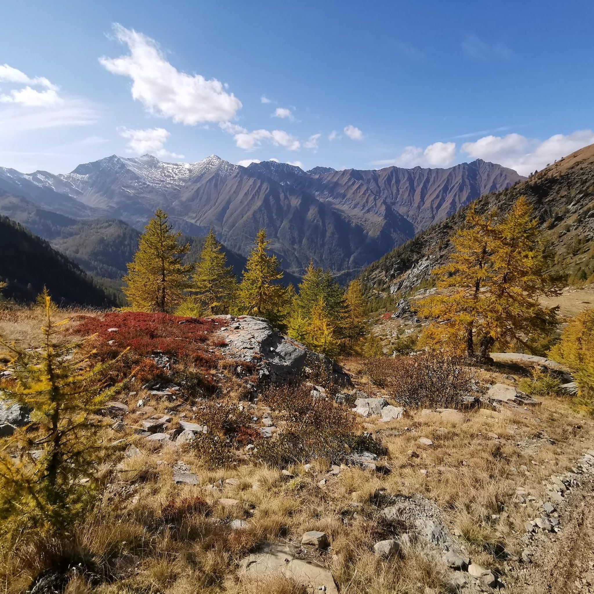
Cycling around Parco Naturale di Conca Cialancia
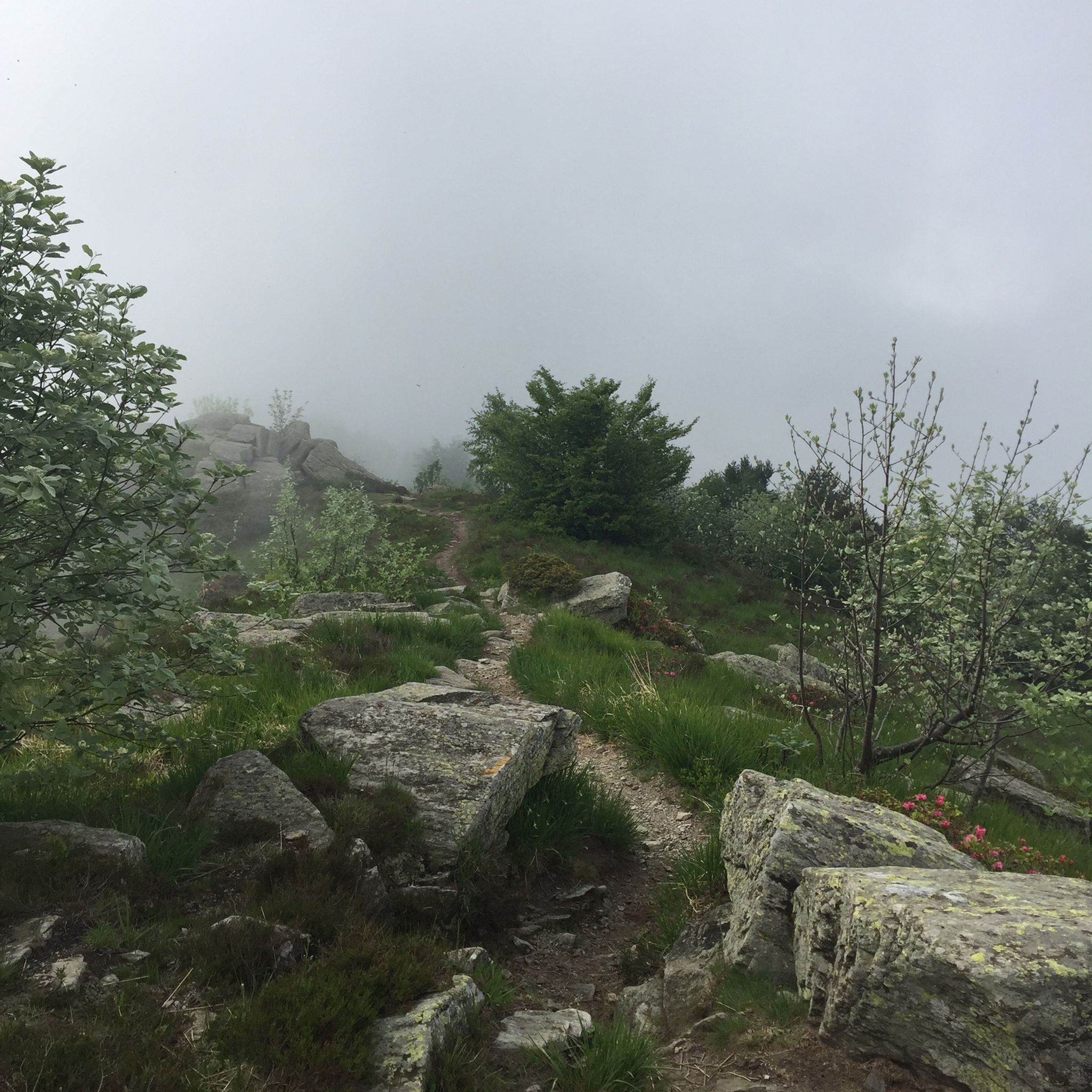
MTB Trails around Parco Naturale di Conca Cialancia
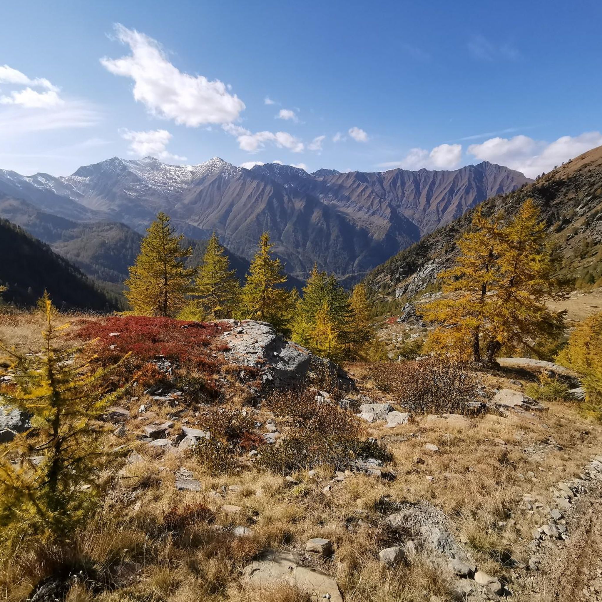
Running Trails around Parco Naturale di Conca Cialancia
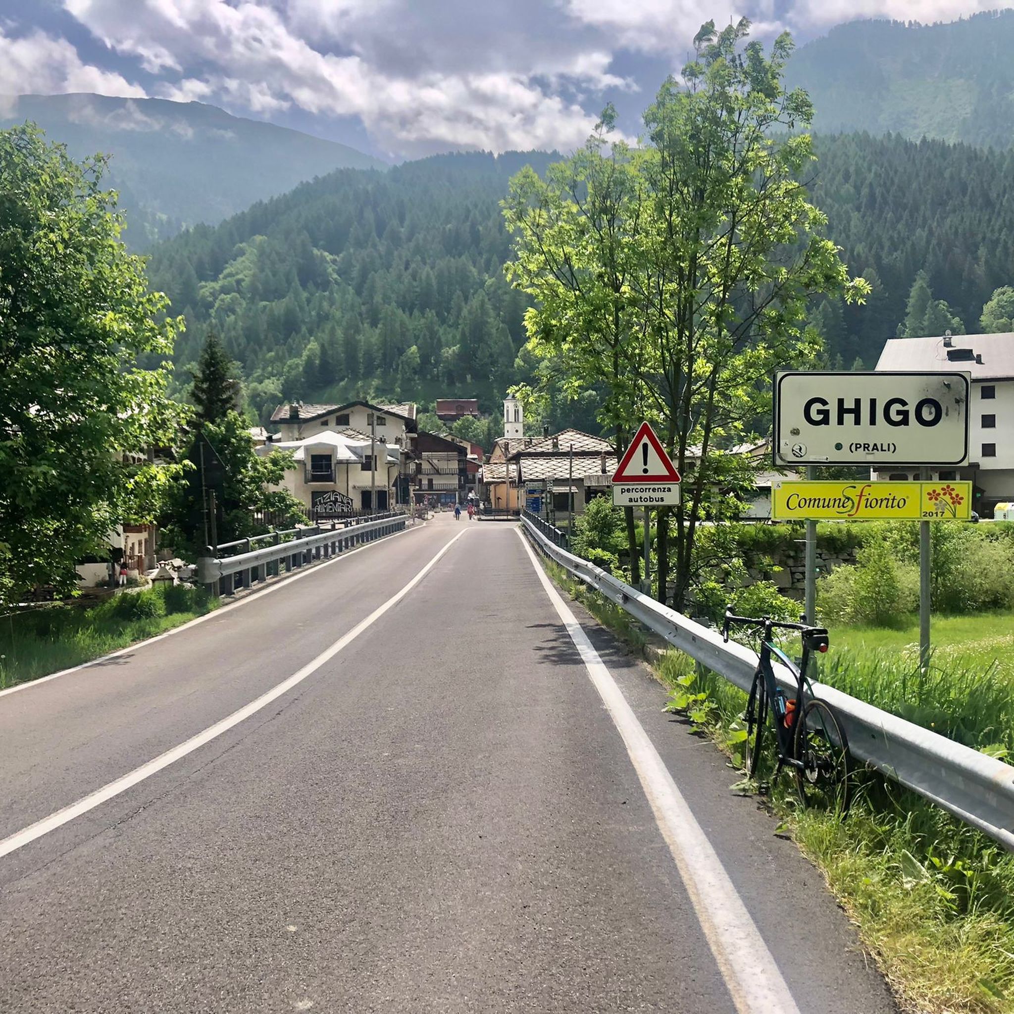
Road Cycling Routes around Parco Naturale di Conca Cialancia
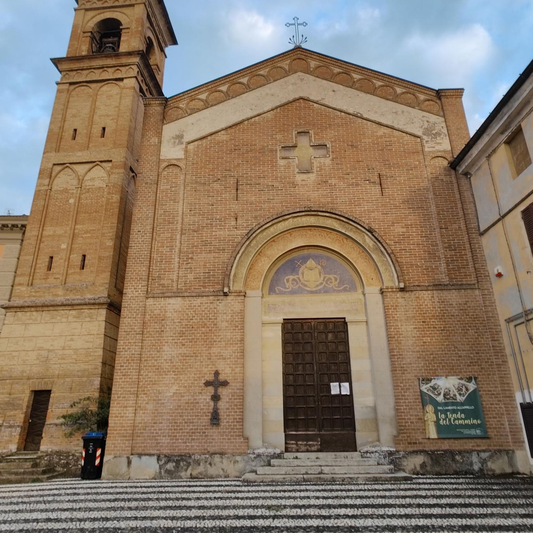
Gravel biking around Parco Naturale di Conca Cialancia
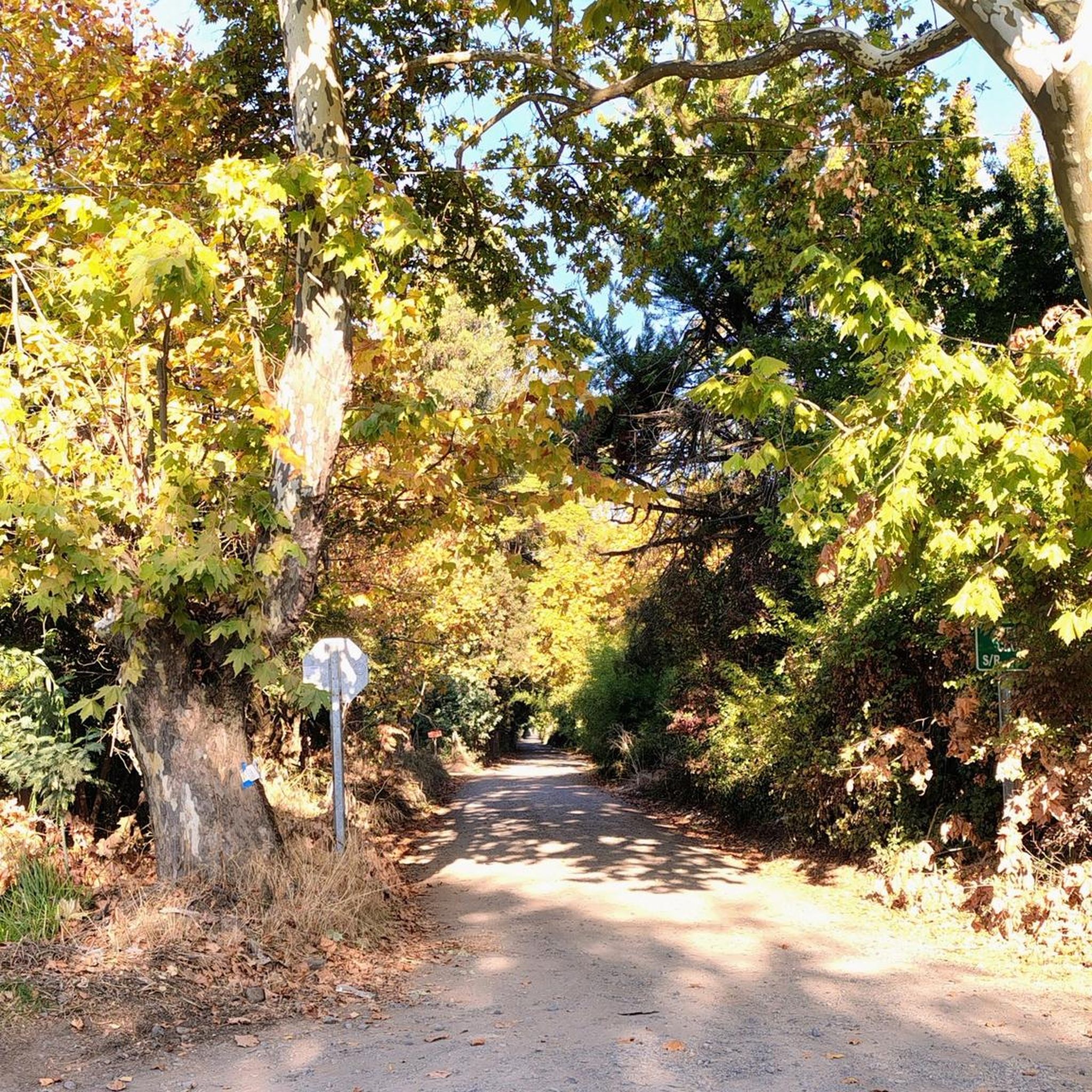
Mountain Hikes around Parco Naturale di Conca Cialancia
Tips from the Community

This wooden house in the Conca Cialancia provincial park, which was once the Formaggino bivouac, is located a short distance from Lake Lauson.
1
0
Lake of the Germanasca valley, in the Conca Cialancia provincial park, reachable with a circular excursion starting from Linsard. It is likely that on holidays there will be many people, given that it can be reached by motorized vehicles (preferably off-road) thanks to the connecting dirt road
2
0

Just before the Eiretta hut, you will find a small corner with a table and bench for a break.
0
0
Crossroads to go down to Ruata with path 305
0
0
Hill which is located about twenty minutes away below the summit of the Rocca Bianca di Prali
1
0
The guides advised against going up to the Gran Truc in the summer due to the possibility of finding fog, and so it was, even though it was a beautiful day in the city. The ideal season is autumn or spring in the absence of snow. It can be reached from the Lazzarà hill in the municipality of Pramollo, or also from the Germanasca valley
0
0

From the lake you can admire a magnificent view to the north, from the Orsiera - Rocciavrè group with the visible Selleries Refuge up to the Rocciamelone cusp, sentinel of Susa
1
0

Panoramic point and starting point for Rocca Bianca
0
0
Frequently Asked Questions
How many hiking trails are available in Parco Naturale di Conca Cialancia?
There are over 270 hiking routes in Parco Naturale di Conca Cialancia, offering a wide range of options from easy strolls to challenging summit ascents. The komoot community has explored more than 7800 of these trails.
What is the best time of year to hike in Parco Naturale di Conca Cialancia?
The best time to hike in Parco Naturale di Conca Cialancia is typically from late spring to early autumn (May to October) when the weather is most favorable and trails are generally free of snow. High-altitude routes may still have snow patches earlier in the season. Always check local weather conditions before heading out.
Are there any easy hikes suitable for beginners in Parco Naturale di Conca Cialancia?
Yes, Parco Naturale di Conca Cialancia offers a good selection of easier trails. There are 26 routes classified as easy, perfect for beginners or those looking for a more relaxed walk. These often feature gentler inclines and well-maintained paths.
Can I bring my dog on the hiking trails in Parco Naturale di Conca Cialancia?
Generally, dogs are welcome on trails in Parco Naturale di Conca Cialancia, but they should be kept on a leash to protect wildlife and ensure the safety of other hikers. Always check specific trail regulations, especially in protected areas or near grazing livestock.
Are there any family-friendly hiking options in the park?
Many of the moderate trails in Parco Naturale di Conca Cialancia are suitable for families with children, depending on their hiking experience. Look for routes with shorter distances and less elevation gain. For example, parts of the Conca Cialancia Military Road offer accessible sections.
What kind of views can I expect on the hikes?
Hikes in Parco Naturale di Conca Cialancia offer diverse views, from forested valleys to alpine panoramas. Trails like the Gran Truc Summit Trail (via Route 305) provide extensive views of the surrounding alpine environment and peaks. You can also find scenic spots like Lake Lauson.
Are there circular hiking routes available in Parco Naturale di Conca Cialancia?
Yes, there are several circular routes in Parco Naturale di Conca Cialancia. An example is the Rocca Bianca and Colle della Balma Loop, which offers a varied experience without needing to retrace your steps.
What are some notable landmarks or attractions along the trails?
Hikers can discover several interesting points along the trails. These include natural features like Lake Lauson and the historic Conca Cialancia Road. High mountain passes such as Balma Pass and Cialancia Pass also offer stunning vistas.
What is the typical length and duration of hikes in this region?
Hikes in Parco Naturale di Conca Cialancia vary greatly. You can find shorter trails like the Conca Cialancia Trail to Bivacco Formaggino (via Route 203), which is about 4 miles (6.5 km) and takes around 2 hours, to longer, more challenging routes that can extend over 8 miles (13 km) and require 4-7 hours or more to complete.
Is public transport available to reach the hiking areas?
Access to Parco Naturale di Conca Cialancia by public transport can be limited, especially to higher trailheads. It's advisable to research local bus services to nearby towns like Prali or Pinerolo, and then consider local taxis or carpooling for the final leg to specific starting points. Driving and parking are often the most direct options.
Where can I find parking for hiking in Parco Naturale di Conca Cialancia?
Parking is typically available at the main access points and trailheads within or near Parco Naturale di Conca Cialancia. Specific parking areas may vary depending on the route you choose. It's recommended to check the starting point details of your chosen komoot tour for precise parking information.
What do other hikers enjoy most about Parco Naturale di Conca Cialancia?
The area is highly rated by the komoot community, with an average score of 4.4 stars from over 1400 reviews. Reviewers often praise the diverse landscape, from alpine valleys to rocky peaks, and the well-maintained paths that offer options for various skill levels. The sense of tranquility and the panoramic views are frequently highlighted.
Most popular routes around Parco Naturale di Conca Cialancia
Most popular attractions around Parco Naturale di Conca Cialancia

Get inspired with the komoot mobile app


Explore more
Browse the best Hikes in other regions.
