Réserve naturelle du versant Nord des pics de Combeynot
Réserve naturelle du versant Nord des pics de Combeynot
The best running trails around Réserve naturelle du versant Nord des pics de Combeynot
4.5
(64)
3,635
runners
68
runs
Jogging routes around Réserve naturelle du versant Nord des pics de Combeynot traverse a high-alpine environment, with altitudes ranging from 1,820 to over 3,100 meters. The region is characterized by impressive rocky peaks, glacial features like the Arsine glacier lakes, and unique water bodies such as Lac de Combeynot. While the rugged, mountainous terrain presents challenges for casual jogging, it offers varied surfaces and significant elevation changes suitable for trail running and demanding running experiences. The landscape transitions through alder…
Last updated: October 18, 2026
33
runners
9.54km
01:56
930m
930m
Hard run. Very good fitness required. Sure-footedness, sturdy shoes and alpine experience required.
28
runners
6.55km
00:49
100m
100m
Hard run. Good fitness required. Sure-footedness, sturdy shoes and alpine experience required.

21
runners
15.5km
01:53
580m
580m
Hard run. Very good fitness required. Mostly paved surfaces. Suitable for all skill levels.
20
runners
13.1km
01:42
670m
670m
Hard run. Very good fitness required. Sure-footedness, sturdy shoes and alpine experience required.
20
runners
29.9km
04:03
1,090m
1,090m
Hard run. Very good fitness required. Sure-footedness, sturdy shoes and alpine experience required.
Get access to more routes and recommendations from other explorers.
Already have an account?
Our route recommendations are based on thousands of hikes, rides, and runs completed by other people on komoot.
Start today with a free account
Your next adventure awaits.
Popular around Réserve naturelle du versant Nord des pics de Combeynot

8 hikes in the Hautes-Alpes — mountain passes and high-altitude lakes
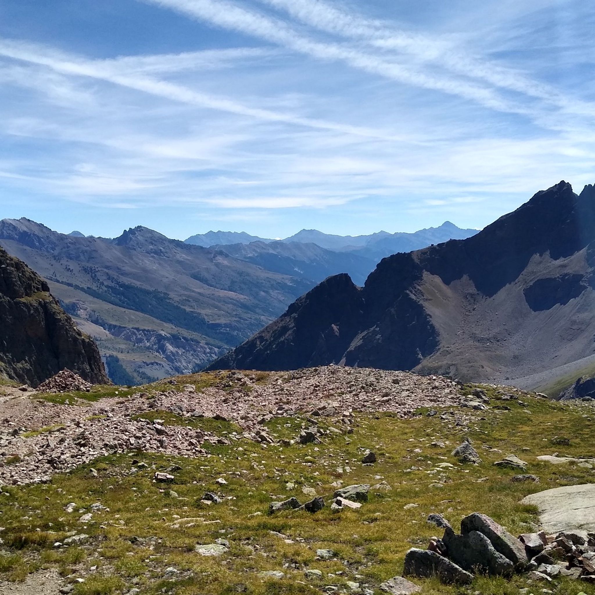
Hiking around Réserve naturelle du versant Nord des pics de Combeynot
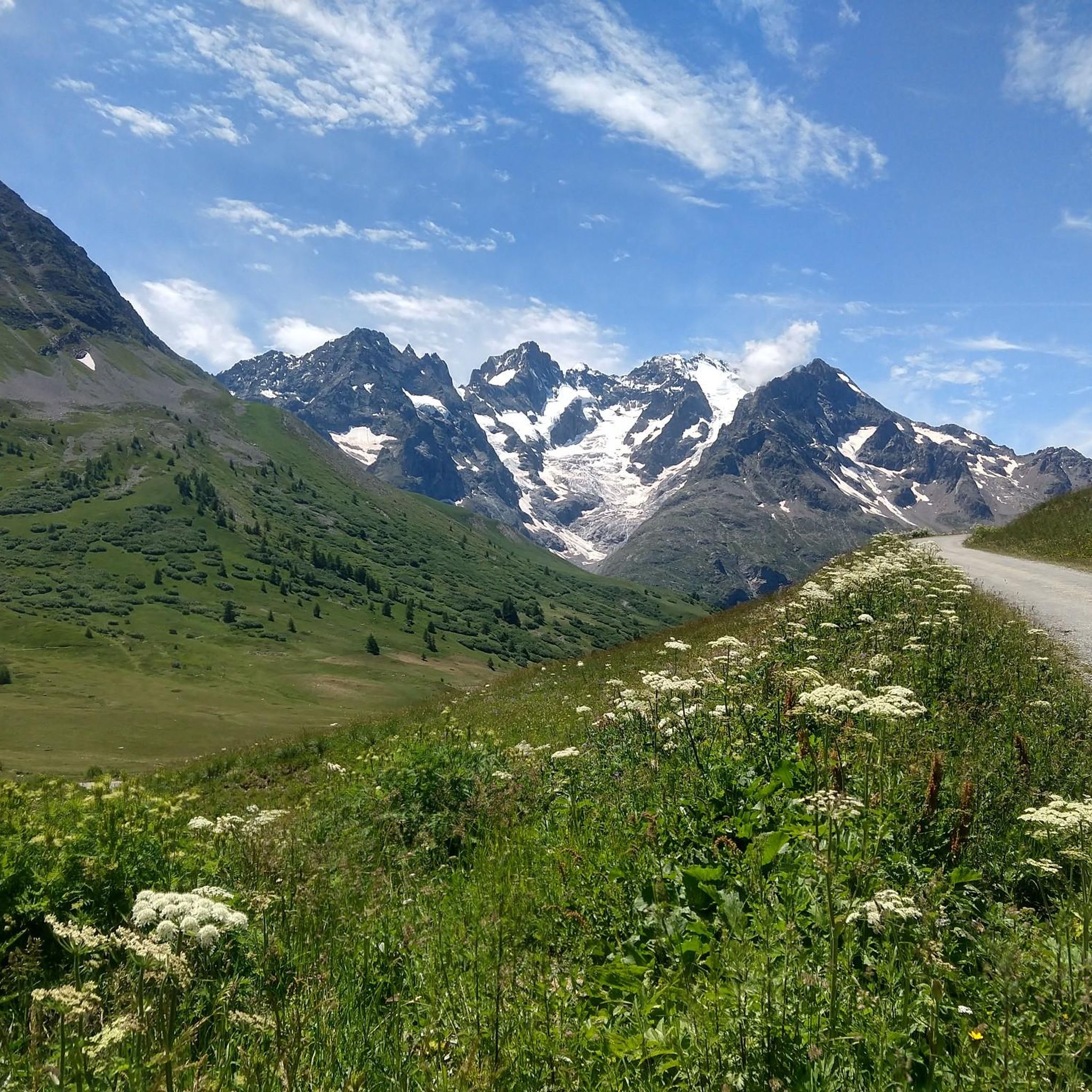
Road Cycling Routes around Réserve naturelle du versant Nord des pics de Combeynot
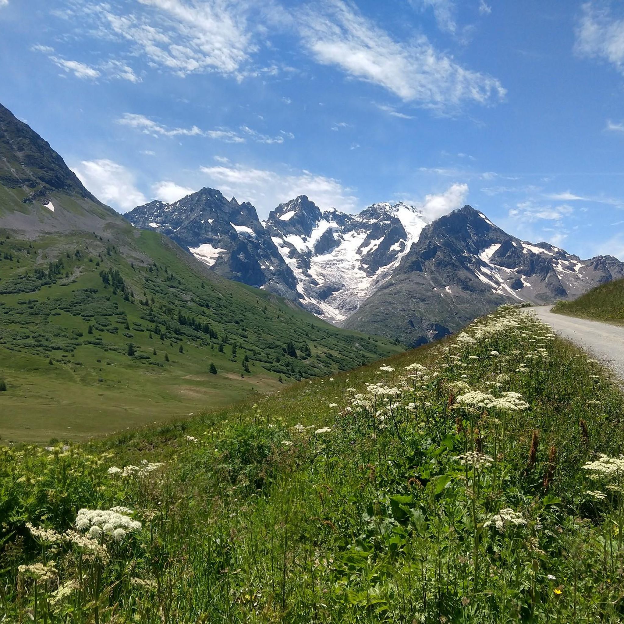
Cycling around Réserve naturelle du versant Nord des pics de Combeynot
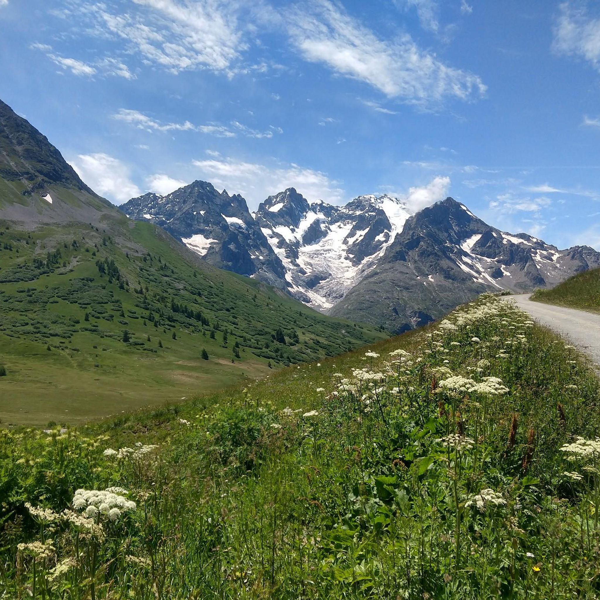
MTB Trails around Réserve naturelle du versant Nord des pics de Combeynot

Mountain Hikes around Réserve naturelle du versant Nord des pics de Combeynot

Gravel biking around Réserve naturelle du versant Nord des pics de Combeynot
Other adventures around Réserve naturelle du versant Nord des pics de Combeynot

Tips from the Community

The Galibier offers breathtaking views.
14
1

Location of the bridge is incorrect!
0
0
A fantastic mountain, making this climb was very challenging, the asphalt is in excellent condition and the gradients are regular.
14
0
A majestic mountain that must be approached with respect.
12
0
This point offers a spectacular view of the massif.
15
0
The Col du Galibier from Briançon is a climb located in the Grand Briançonnais region. This climb is 34.8 kilometers long, with a positive elevation gain of 1,398 meters. The Col du Galibier from Briançon has an average gradient of 4%.
31
1
The Col du Lautaret from Briançon is a climb located in the Grand Briançonnais region. This climb is 26.3 kilometers long, with an elevation gain of 801 meters. The Col du Lautaret from Briançon has an average gradient of 3%.
23
0

Good gravel route
0
0
Frequently Asked Questions
How many running routes are available in Réserve naturelle du versant Nord des pics de Combeynot?
There are over 60 running routes in the Réserve naturelle du versant Nord des pics de Combeynot, offering a wide range of options for trail runners. The komoot community has explored these trails over 3000 times.
What is the general difficulty level of running trails in this region?
The running trails in Réserve naturelle du versant Nord des pics de Combeynot are predominantly challenging. Out of 63 routes, 45 are classified as difficult and 18 as moderate, making it an ideal destination for experienced trail runners seeking a demanding experience with significant elevation changes.
What makes the running experience in Réserve naturelle du versant Nord des pics de Combeynot unique?
The region offers a unique high-alpine running experience, with altitudes ranging from 1,820 to over 3,100 meters. Runners will encounter impressive rocky peaks, glacial features like the Arsine glacier lakes, and unique water bodies such as Lac de Combeynot. The diverse landscape transitions through alder thickets, rhododendron moors, scree slopes, and alpine meadows, providing varied terrain and stunning panoramic views.
Are there any circular running routes in the Réserve naturelle du versant Nord des pics de Combeynot?
Yes, many routes in the area are designed as loops, allowing you to start and finish at the same point. For example, the View of Mont Blanc loop from Le Monêtier-les-Bains is a popular difficult route, and the Panorama / Galibier – Col du Galibier loop from Col du Lautaret offers extensive views.
Can I find routes with panoramic views in the Réserve naturelle du versant Nord des pics de Combeynot?
Absolutely. The region is renowned for its breathtaking panoramic views. Routes like the Panorama / Galibier – Col du Galibier loop from Col du Lautaret offer expansive vistas of the surrounding Alpine chains, including iconic peaks like La Meije and Pic Gaspard. From various viewpoints, such as the Sommet du Santin - Serre Orel, you can enjoy dramatic mountain scenery.
Are there any specific attractions or landmarks to see while jogging in the area?
Yes, the routes often pass by or offer views of notable landmarks. You can enjoy the View Over the Gorges de la Romanche, or experience the challenge of the Ascent of the Col du Lautaret from Le Bourg-d'Oisans. The area also features the source of the Guisane River and glacial lakes.
What kind of wildlife might I encounter on the running trails?
As part of the Écrins National Park, the region is rich in biodiversity. While jogging, you might encounter various alpine fauna. Ibexes are known to inhabit the area, and you may also spot different species of birds of prey soaring above the peaks.
What are the best seasons for trail running in Réserve naturelle du versant Nord des pics de Combeynot?
Given the high-alpine environment and the micro-climate that can be windy, cold, and snowy, the best seasons for trail running are typically late spring, summer, and early autumn. During these months, trails are more accessible, and the weather is generally more favorable, though conditions can change rapidly at high altitudes.
Are there any long-distance running trails suitable for experienced runners?
Yes, the region is excellent for long-distance and challenging trail running. The area features an extensive network of trails, including multi-day routes like the Tour du Combeynot, which involves significant positive elevation gain (over 2,000 meters) and traverses mountain valleys. Routes like the Panorama / Galibier – Col du Galibier loop from Col du Lautaret offer a substantial distance of 9.6 miles (15.4 km) with considerable elevation.
What do other runners enjoy the most about jogging in Réserve naturelle du versant Nord des pics de Combeynot?
The running routes in Réserve naturelle du versant Nord des pics de Combeynot are highly rated by the komoot community, with an average score of 4.4 stars from over 30 reviews. Runners frequently praise the challenging terrain, the stunning high-alpine scenery, and the rewarding panoramic views of the surrounding peaks and valleys.
Are there any running routes that pass by glacial lakes or unique water bodies?
Yes, the region is characterized by its glacial features and unique water bodies. The Arsine glacier lakes are a notable feature, contributing to the high-mountain atmosphere. Additionally, Lac de Combeynot, one of the rare polar-regime lakes in the Alps, is situated at 2,555 meters and is a remarkable sight, thawing for only two to three months a year.
Are there any parking facilities near the running trailheads?
Yes, parking is available at key access points to the trails. For instance, there is a dedicated Parking at Col du Lautaret, which serves as a starting point for several routes, including the Panorama / Galibier – Col du Galibier loop.
Most popular routes around Réserve naturelle du versant Nord des pics de Combeynot
Most popular attractions around Réserve naturelle du versant Nord des pics de Combeynot

Get inspired with the komoot mobile app


Explore more
Browse the best Running Trails & Routes in other regions.
