Réserve naturelle du versant Nord des pics de Combeynot
Réserve naturelle du versant Nord des pics de Combeynot
The best cycling routes around Réserve naturelle du versant Nord des pics de Combeynot
4.4
(140)
6,128
riders
31
rides
Touring cycling routes around Réserve naturelle du versant Nord des pics de Combeynot navigate a high-alpine environment characterized by significant elevation changes and mountain passes. The region features routes that traverse valleys and ascend to notable cols like the Col du Lautaret and Col du Galibier. This area, bordering the Écrins National Park, offers a landscape of rugged peaks and open alpine terrain, providing varied challenges for touring cyclists.
Best touring cycling routes around Réserve naturelle du versant Nord des…
Last updated: October 18, 2026
4.7
(18)
528
riders
24.9km
02:01
760m
770m
Hard bike ride. Very good fitness required. Mostly paved surfaces. Suitable for all skill levels.
4.0
(3)
139
riders
22.5km
01:44
590m
600m
Hard bike ride. Very good fitness required. Mostly paved surfaces. Suitable for all skill levels.

25
riders
17.4km
01:57
740m
740m
Hard bike ride. Very good fitness required. Mostly paved surfaces. Suitable for all skill levels.
6
riders
8.59km
00:43
280m
280m
Moderate bike ride. Good fitness required. Mostly paved surfaces. Suitable for all skill levels.
5.0
(1)
27
riders
99.6km
07:45
2,300m
2,300m
Hard bike ride. Very good fitness required. Mostly paved surfaces. Suitable for all skill levels.
Get access to more routes and recommendations from other explorers.
Already have an account?
Our route recommendations are based on thousands of hikes, rides, and runs completed by other people on komoot.
Start today with a free account
Your next adventure awaits.
Popular around Réserve naturelle du versant Nord des pics de Combeynot

8 hikes in the Hautes-Alpes — mountain passes and high-altitude lakes
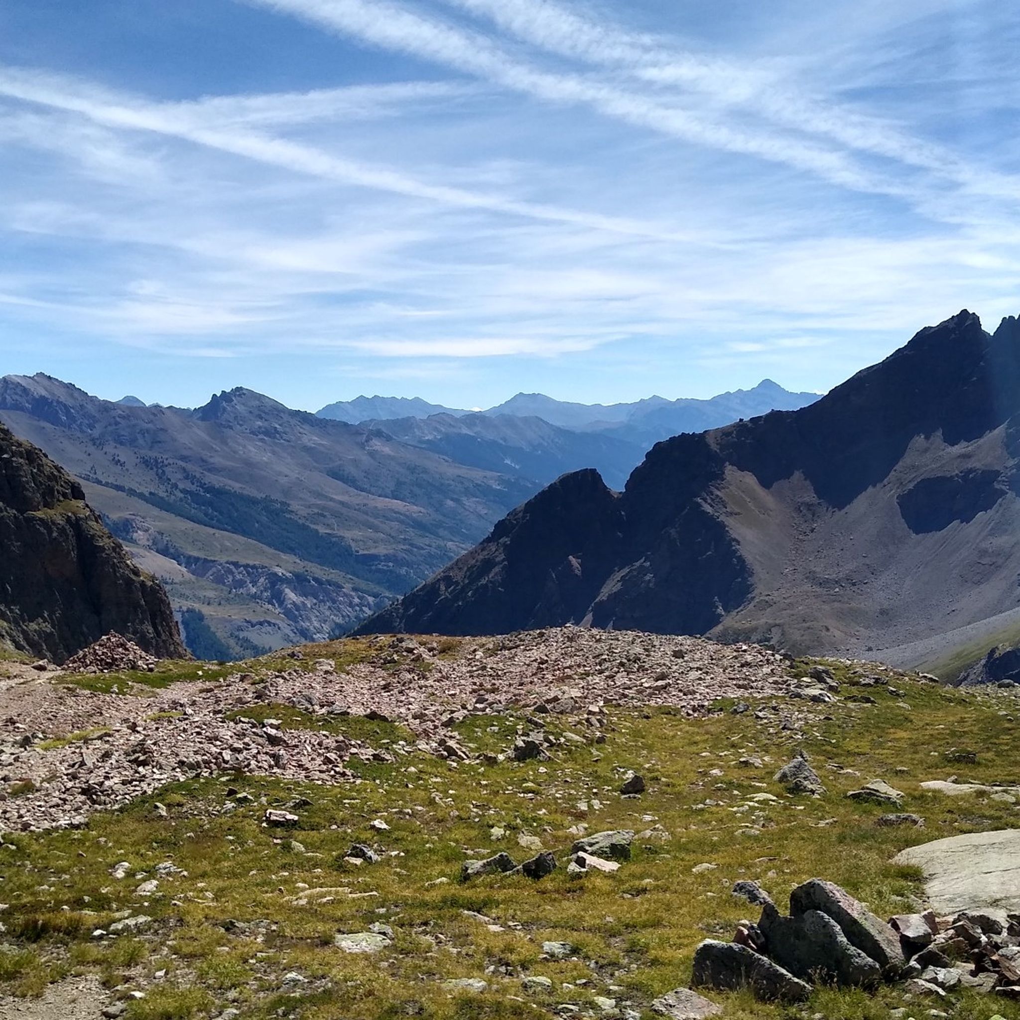
Hiking around Réserve naturelle du versant Nord des pics de Combeynot
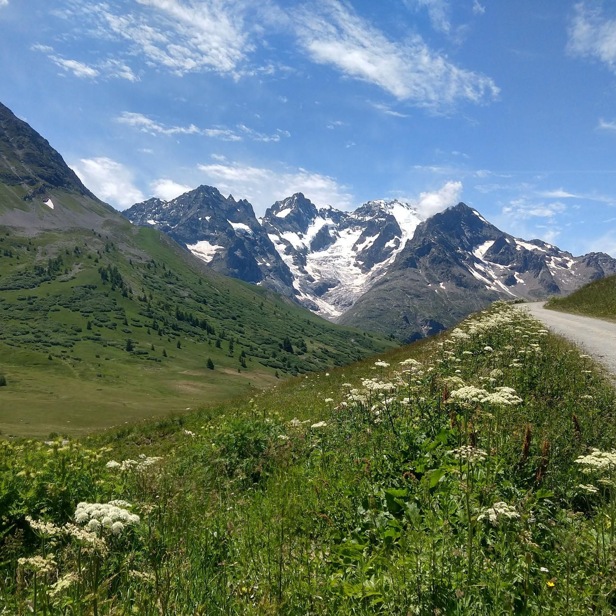
Road Cycling Routes around Réserve naturelle du versant Nord des pics de Combeynot
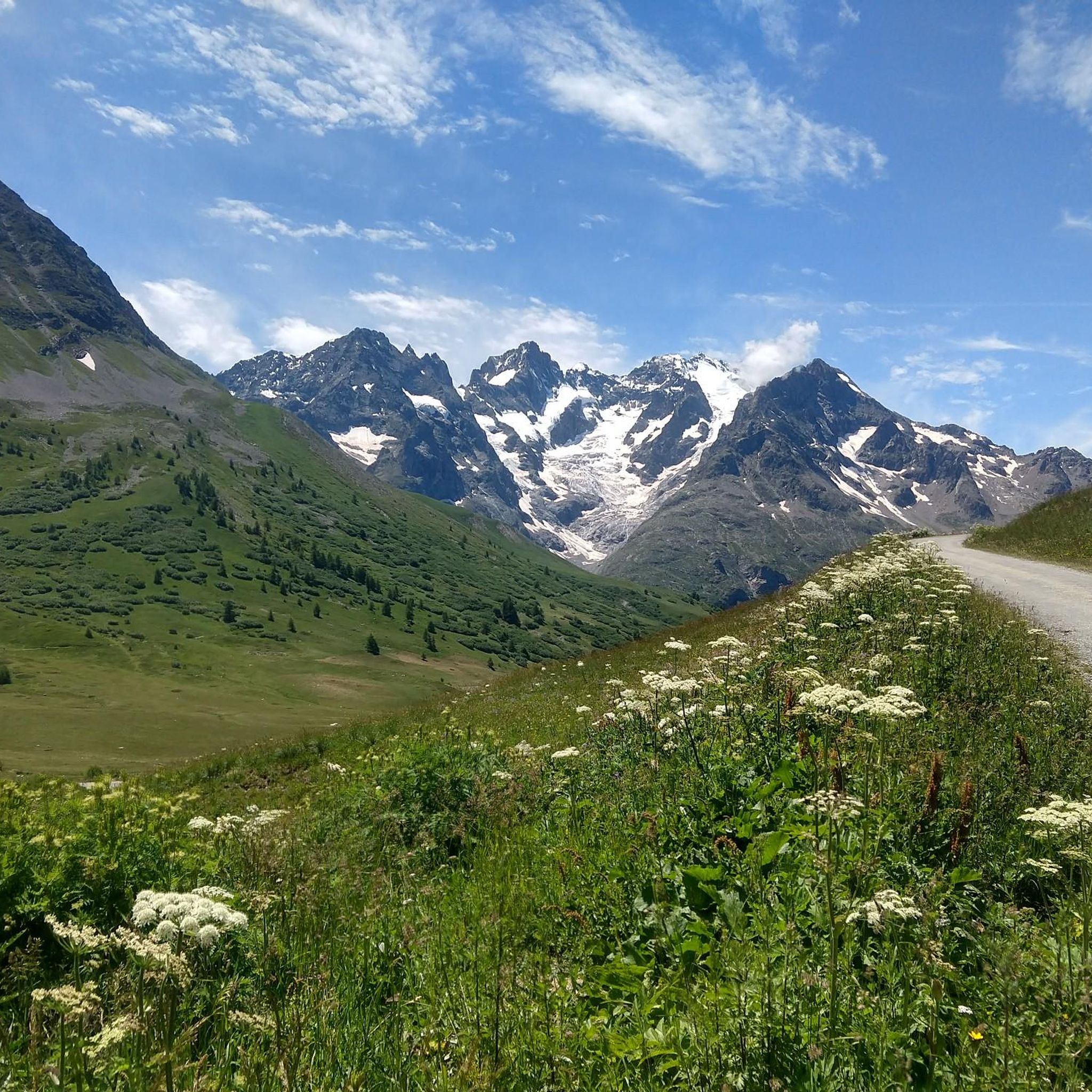
MTB Trails around Réserve naturelle du versant Nord des pics de Combeynot
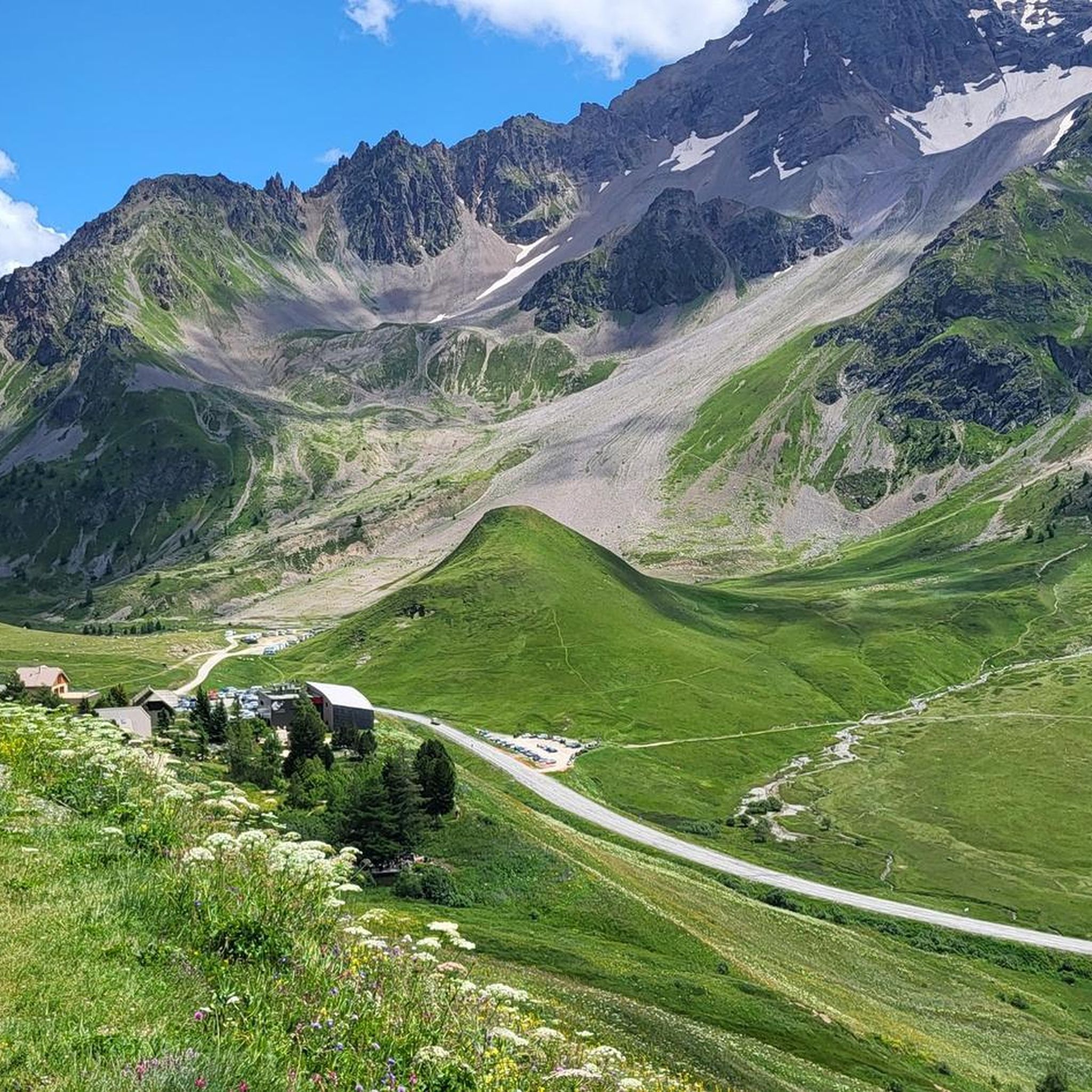
Running Trails around Réserve naturelle du versant Nord des pics de Combeynot

Mountain Hikes around Réserve naturelle du versant Nord des pics de Combeynot

Gravel biking around Réserve naturelle du versant Nord des pics de Combeynot
Other adventures around Réserve naturelle du versant Nord des pics de Combeynot

Tips from the Community

Spectacular pass to try at least once in a lifetime
8
0
The Col du Lautaret is one of the best-known Alpine passes in France, in the Hautes-Alpes, between the Guisane Valley (Briançon side) and the Romanche Valley (La Grave side). It is located at an altitude of about 2,058 m and is one of the great passes of the French Alps.
8
0

And the Vauban fortress. It is not a castle
0
0
At the top of this hill there are many shops, bars and restaurants equipped for cyclists.
18
0

Here is the route for the ascent of the Col du Lautaret starting from Le Monêtier-les-Bains
3
0
The Galibier offers breathtaking views.
14
1
A fantastic mountain, making this climb was very challenging, the asphalt is in excellent condition and the gradients are regular.
14
0
A majestic mountain that must be approached with respect.
12
0
Frequently Asked Questions
How many touring cycling routes are available in Réserve naturelle du versant Nord des pics de Combeynot?
There are over 25 touring cycling routes in the Réserve naturelle du versant Nord des pics de Combeynot region, offering a variety of experiences for different skill levels.
What is the best time of year for touring cycling in this high-alpine region?
The best time for touring cycling in this high-alpine environment is typically from late spring to early autumn (June to September). During these months, mountain passes are generally clear of snow, and the weather is more stable, offering optimal conditions for cycling.
What kind of terrain can I expect on touring cycling routes around Réserve naturelle du versant Nord des pics de Combeynot?
You can expect a high-alpine environment with significant elevation changes and mountain passes. Routes traverse valleys and ascend to notable cols like the Col du Lautaret and Col du Galibier, offering rugged peaks and open alpine terrain.
Are there any circular touring cycling routes in the area?
Yes, several circular routes are available. For example, the Col du Galibier – Monument to Henri Desgrange loop from Col du Lautaret is a popular option, featuring a demanding climb to a historic mountain pass. Another is the Col du Galibier – Lautaret Pass loop from Col du Lautaret, which offers extensive alpine views.
What interesting sights or landmarks can I see while touring cycling?
The region is rich in natural beauty and notable landmarks. You can enjoy the View Over the Gorges de la Romanche or experience the challenge of the Ascent of the Col du Lautaret from Le Bourg-d'Oisans. The Col du Laurichard also offers stunning views.
Where can I find parking for touring cycling routes?
Parking is available at key access points. For instance, you can find dedicated parking at the Col du Lautaret, which serves as a starting point for several routes.
Is public transport available to access touring cycling routes?
Access to high-alpine areas like the Col du Lautaret can be challenging with public transport, especially with bikes. It's advisable to check local bus services or shuttle options from nearby towns like Le Monêtier-les-Bains or Villar-d'Arêne, as services may be limited and seasonal.
Are there cafes or places to eat near the touring cycling routes?
Yes, you'll find amenities in the villages and at the major mountain passes. Le Monêtier-les-Bains, Villar-d'Arêne, and the Col du Lautaret often have cafes, restaurants, and accommodation options where you can refuel.
Are there any easy touring cycling routes suitable for beginners?
While many routes feature significant climbs, there are options for beginners. The region offers 4 easy routes, which typically involve less elevation gain and shorter distances, allowing for a more relaxed experience.
What about more challenging touring cycling routes for experienced cyclists?
Experienced cyclists will find plenty of challenges, with 12 difficult routes available. These often include demanding ascents to high mountain passes like the Col du Galibier, offering significant elevation and technical sections. An example is the Bench at the L'Aiguillon viewpoint – Pontet Lake loop from Groupe Scolaire La Meije.
What do other touring cyclists say about the routes in Réserve naturelle du versant Nord des pics de Combeynot?
The touring cycling routes in this region are highly rated by the komoot community, with an average score of 4.4 stars from over 70 reviews. More than 6,000 touring cyclists have explored the varied terrain, often praising the challenging climbs and the stunning alpine scenery.
Are there family-friendly touring cycling routes?
While many routes are demanding, some sections or shorter loops might be suitable for families with older children or those accustomed to cycling in mountainous terrain. Look for routes described as 'easy' or 'moderate' and consider the elevation profiles carefully. The La Grave – Villar-d’Arêne loop from Groupe Scolaire La Meije is a moderate option that could be considered.
Are dogs allowed on touring cycling routes in the Réserve naturelle du versant Nord des pics de Combeynot?
Regulations regarding dogs can vary, especially as the area borders the Écrins National Park, where specific rules apply to protect wildlife. It's generally recommended to keep dogs on a leash, and some areas might have restrictions. Always check local signage or park regulations before heading out with your dog.
Most popular routes around Réserve naturelle du versant Nord des pics de Combeynot
Most popular attractions around Réserve naturelle du versant Nord des pics de Combeynot

Get inspired with the komoot mobile app


Explore more
Browse the best Cycling routes in other regions.
