The best cycling routes around Ituero Y Lama
5.0
(1)
18
riders
7
rides
Touring cycling routes around Ituero y Lama traverse a varied landscape, transitioning from the foothills of the Sierra de Guadarrama to the expansive cereal fields of the Duero basin. The region features tranquil river valleys, such as those of the Moros and Piezga rivers, bordered by poplars and low-lying oak forests. Notable geological formations include the deep canyon of the Risca del Río Moros, offering distinct visual elements for cyclists. This diverse terrain provides a range of routes from challenging…
Last updated: July 1, 2026
5.0
(1)
3
riders
22.6km
01:46
340m
340m
Moderate bike ride. Good fitness required. Mostly paved surfaces. Suitable for all skill levels.
3
riders
51.4km
04:22
620m
620m
Hard bike ride. Very good fitness required. You may need to push your bike for some segments of this route.

Sign up for free
4
riders
47.8km
04:05
480m
480m
Hard bike ride. Very good fitness required. Mostly paved surfaces. Suitable for all skill levels.
2
riders
40.5km
03:31
230m
230m
Moderate bike ride. Good fitness required. Mostly paved surfaces. Suitable for all skill levels.
2
riders
30.9km
02:44
430m
430m
Moderate bike ride. Good fitness required. Mostly paved surfaces. Suitable for all skill levels.
Get access to more routes and recommendations from other explorers.
Sign up for free
Already have an account?
Our route recommendations are based on thousands of hikes, rides, and runs completed by other people on komoot.
Start today with a free account
Your next adventure awaits.
Login or Signup
Popular around Ituero Y Lama
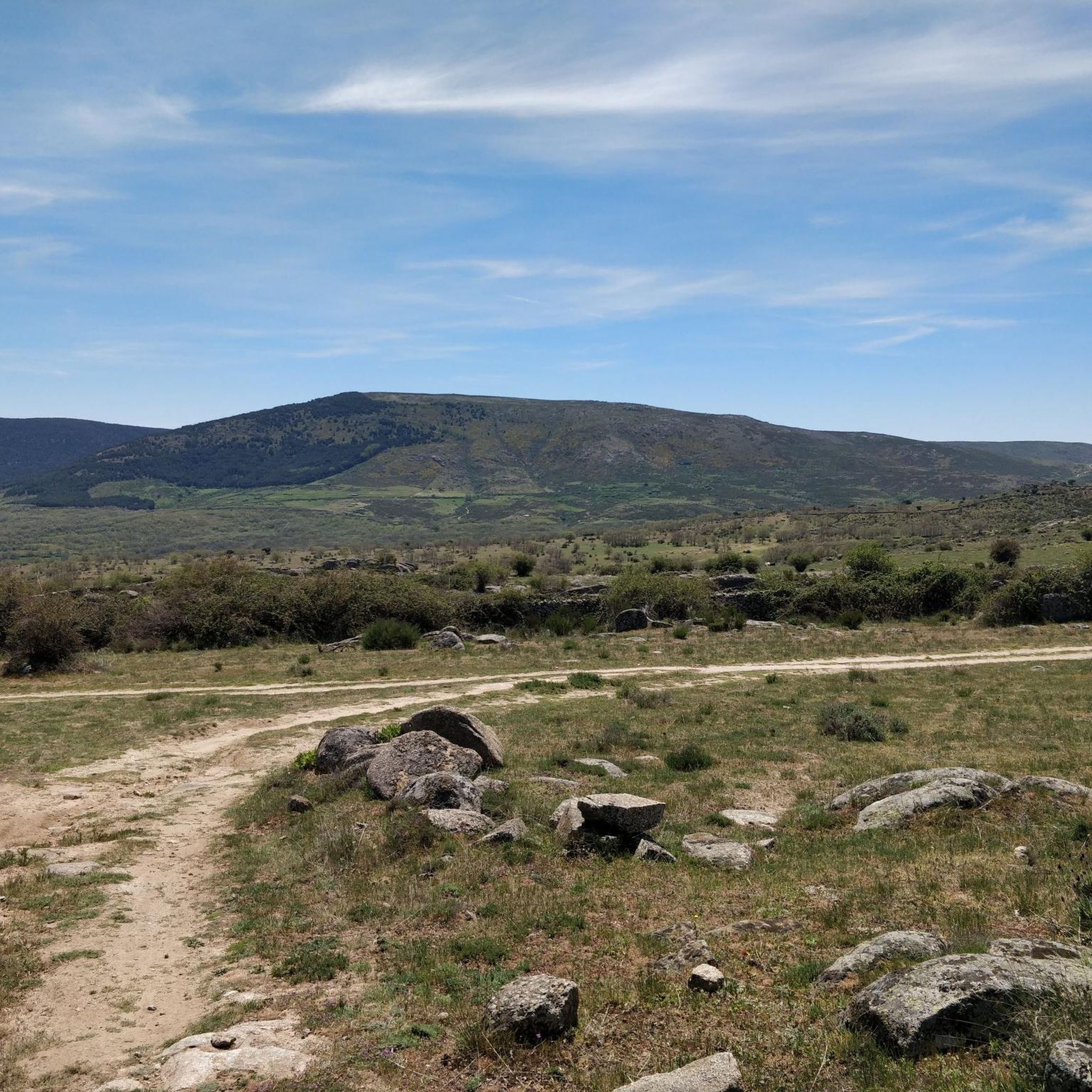
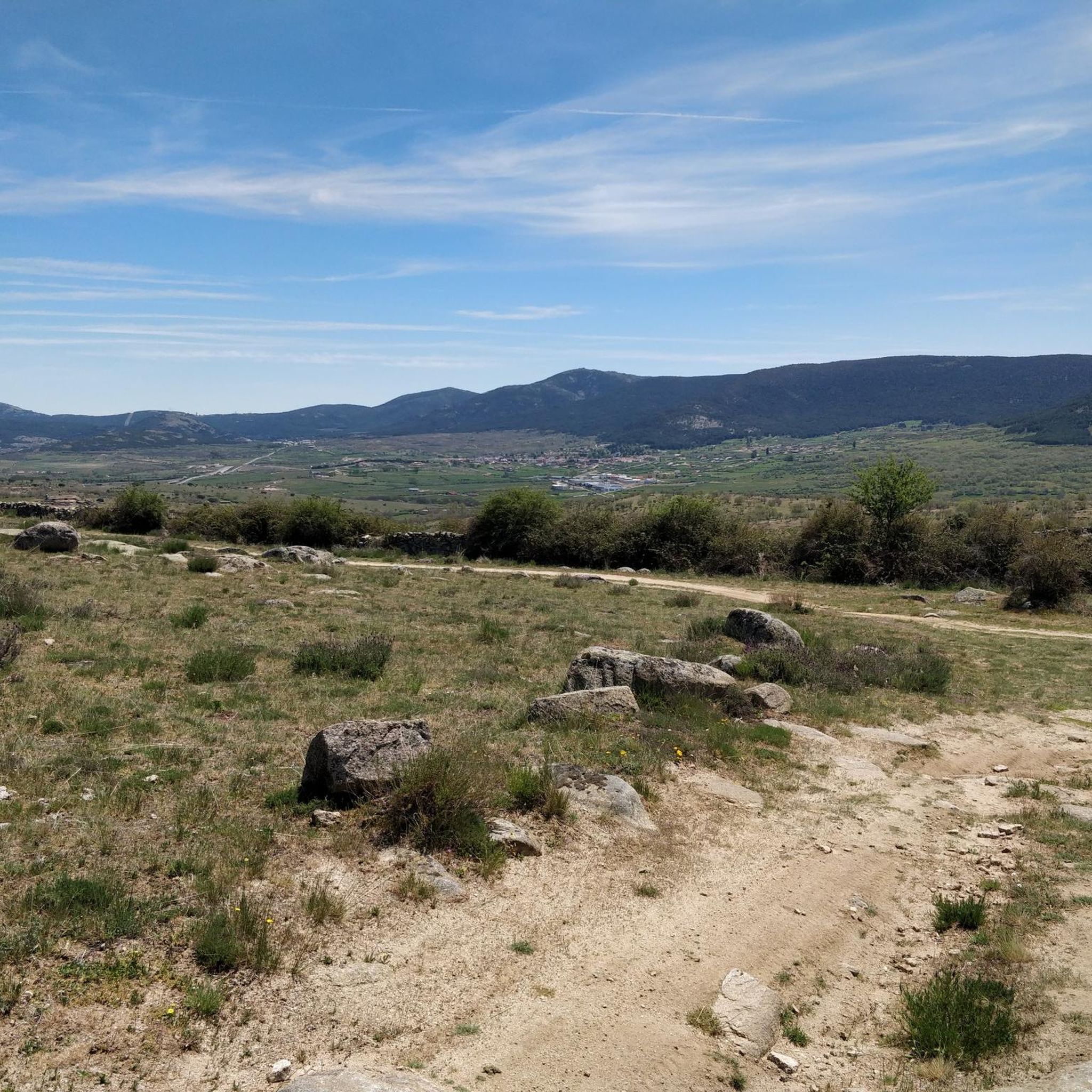
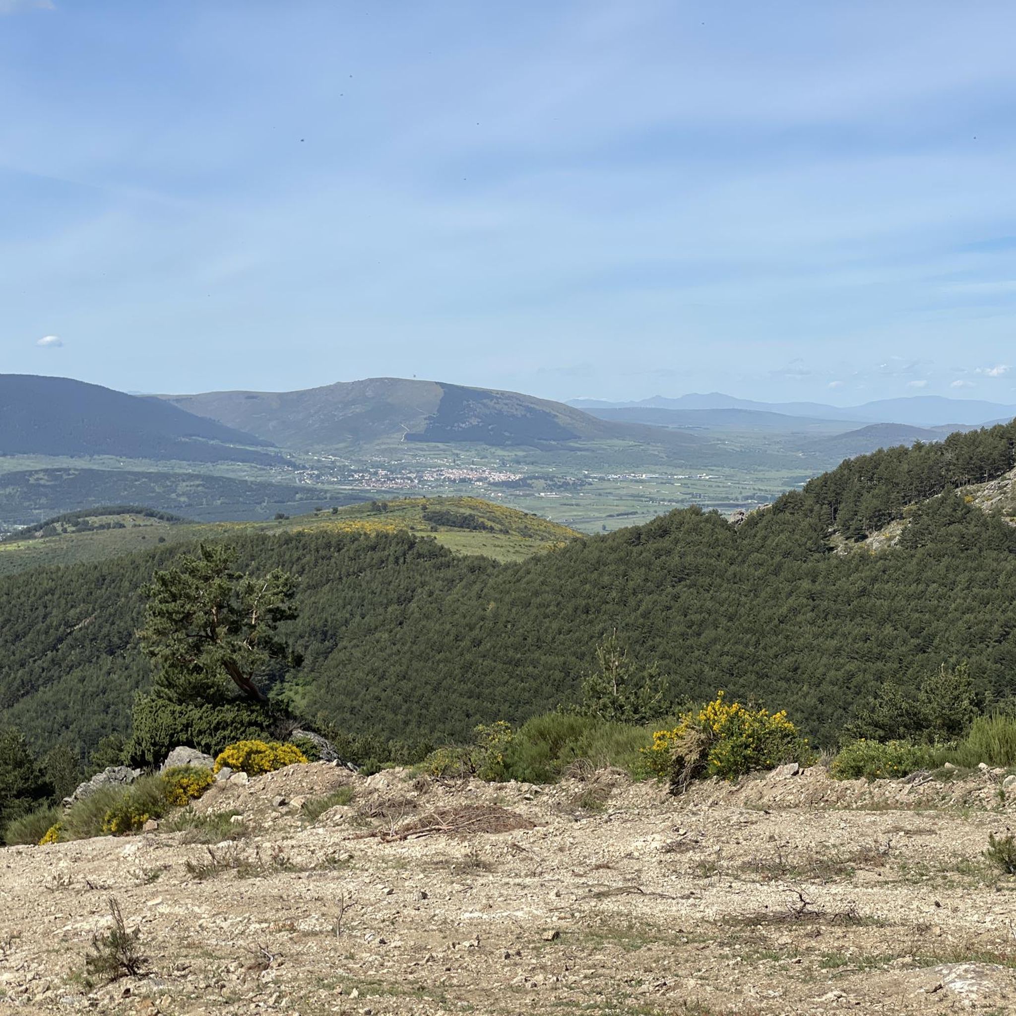
Tips from the Community


A wooden observation platform, suspended over the Moros River gorge. Incredible views of the deep canyon and river below.
0
0
A wooden bridge over the Moros River canyon. This marks the start of the hike in the northern part of the river canyon before it descends towards the San Rafael Los Angeles Reservoir.
0
1
Valdeprados is a small, charming traditional Segovian town near the Moros River. You should look for the heritage buildings of the Iglesia Eulalia de Mérida and the Castillo De Sanguino on your visit.
1
0

This is one of the most impressive gorges that rise above the Río Moros and reach a height of more than forty meters.
1
0
Beautiful hermitage that is located in the middle of a plain between the Sierras de Ojos-Albos and the Sierra de Malagón to the southeast. Place to take a break in a beautiful church.
1
0
One of the characteristics of the town is that it is home to the old medieval town that has been depopulated for centuries, called Matute. Hence the name of the current kernel.
0
0
Frequently Asked Questions
What kind of terrain and difficulty can I expect on touring cycling routes around Ituero y Lama?
Touring cycling routes in Ituero y Lama offer a diverse experience, ranging from the challenging mountainous terrain of the Sierra de Guadarrama foothills to more gentle paths through expansive cereal fields. You'll encounter unique geological formations, tranquil river valleys, and low-lying oak forests. While many roads are well-paved, some segments might be unpaved, adding to the adventure. The routes cater to various fitness levels, with options from moderate loops to more difficult rides featuring significant elevation gain. For example, the Bike loop from Urbanización Coto de San Isidro is a moderate 22.6 km ride, while the Río Moros Cliff – The Lovers' Bridge loop from Marugan is a difficult 51.4 km path.
Are there any family-friendly touring cycling routes in Ituero y Lama?
While the region offers routes with varying difficulties, including some moderate options, specific routes explicitly labeled as 'family-friendly' are not detailed in the guide data. However, the diverse landscape means that flatter sections through cereal fields or along tranquil river valleys could be suitable for families looking for less strenuous rides. The Bike loop from Urbanización Coto de San Isidro is a moderate 22.6 km route that might be a good starting point for families with some cycling experience.
What natural features or landmarks can I see along the touring cycling routes?
The touring cycling routes in Ituero y Lama are rich with natural beauty and historical landmarks. You can explore the deep canyon of the Risca del Río Moros, cross the charming The Lovers' Bridge, and enjoy panoramic views from the Risca Viewpoint, Valdeprados. The area also features the Embalse de los Ángeles (Los Angeles Reservoir) and tranquil valleys bordered by poplars and low-lying oak forests. Historic sites like the Church of Saint Eulalia of Mérida and Sanguino Castle, Valdeprados, and remnants of traditional lime kilns add cultural interest to your ride.
Are there any circular touring cycling routes available?
Yes, many of the touring cycling routes in Ituero y Lama are designed as loops, offering convenient circular journeys. Examples include the Bike loop from Urbanización Coto de San Isidro, the challenging Río Moros Cliff – The Lovers' Bridge loop from Marugan, and the Plaza Mayor de Villacastín loop from Marugan. These circular routes allow you to start and end at the same point, making logistics easier.
What do other touring cyclists enjoy the most about cycling in Ituero y Lama?
The komoot community highly rates the touring cycling experience in Ituero y Lama, with an average score of 5.0 stars. Cyclists particularly appreciate the varied terrain, which transitions from challenging mountain passes to serene paths through agricultural areas. The stunning natural features, such as the deep Moros River canyon and the charming wooden bridge, are frequently highlighted as memorable aspects of the rides.
When is the best time of year to go touring cycling in Ituero y Lama?
The region's diverse landscape, transitioning from mountainous areas to cereal fields, suggests that spring and autumn would likely offer the most pleasant cycling conditions. During these seasons, temperatures are generally milder, and the natural scenery is vibrant. Summer can be hot, especially in open areas, while winter might bring colder temperatures and potentially challenging conditions in the higher elevations of the Sierra de Guadarrama foothills.
Are there options for advanced touring cyclists looking for a challenge?
Absolutely. Ituero y Lama provides several challenging routes for experienced touring cyclists. The region's proximity to the Sierra de Guadarrama means you can find routes with significant elevation gain and demanding terrain. For instance, the Plaza Mayor de Villacastín loop from Marugan is a difficult 47.8 km trail, and the Río Moros Cliff – The Lovers' Bridge loop from Monterrubio is another difficult 32.7 km option, both offering a substantial workout.
Where can I find parking for touring cycling routes in Ituero y Lama?
While specific parking locations are not detailed for each route, many touring cycling routes in Ituero y Lama start from or pass through villages like Marugan, Monterrubio, or Urbanización Coto de San Isidro. These locations typically offer public parking facilities. It's advisable to check the starting point of your chosen route on komoot for more precise parking information or to look for available spaces in the nearest town or village.
Can I observe the night sky while cycling in the region?
While cycling at night is generally not recommended for safety, the region of Ituero y Lama is known for its minimal light pollution. This makes it an excellent spot for observing the night sky. If you are staying overnight in the area, you might find opportunities to enjoy stargazing from suitable, safe locations after your daytime cycling adventures.
Are there any easy touring cycling routes for beginners?
The guide data indicates that there are no routes explicitly classified as 'easy,' but there are several 'moderate' options that could be suitable for beginners with a reasonable level of fitness. The Bike loop from Urbanización Coto de San Isidro is a moderate 22.6 km route with 338m of elevation gain, which could be a good introduction to touring cycling in the area. Another moderate option is the Church of Marazoleja loop from Marugan, a 40.5 km route with less elevation gain (231m up).
What cultural points of interest can I visit during my cycling tour?
Beyond the natural landscapes, Ituero y Lama offers several cultural points of interest. You can visit the traditional Segovian town of Valdeprados, home to heritage buildings like the Church of Saint Eulalia of Mérida and Sanguino Castle. The village of Ituero y Lama itself features the Baroque chapel of Iglesia Santa Bárbara and the late Gothic Iglesia de Santiago el Mayor. You might also encounter the ruins of the Ermita de Santa Elena or restored traditional lime kilns, offering a glimpse into the region's history.
Most popular attractions around Ituero Y Lama

Get inspired with the komoot mobile app


Explore more
Browse the best Cycling routes in other regions.
