The best road cycling routes around Ituero Y Lama
5.0
(2)
91
riders
8
rides
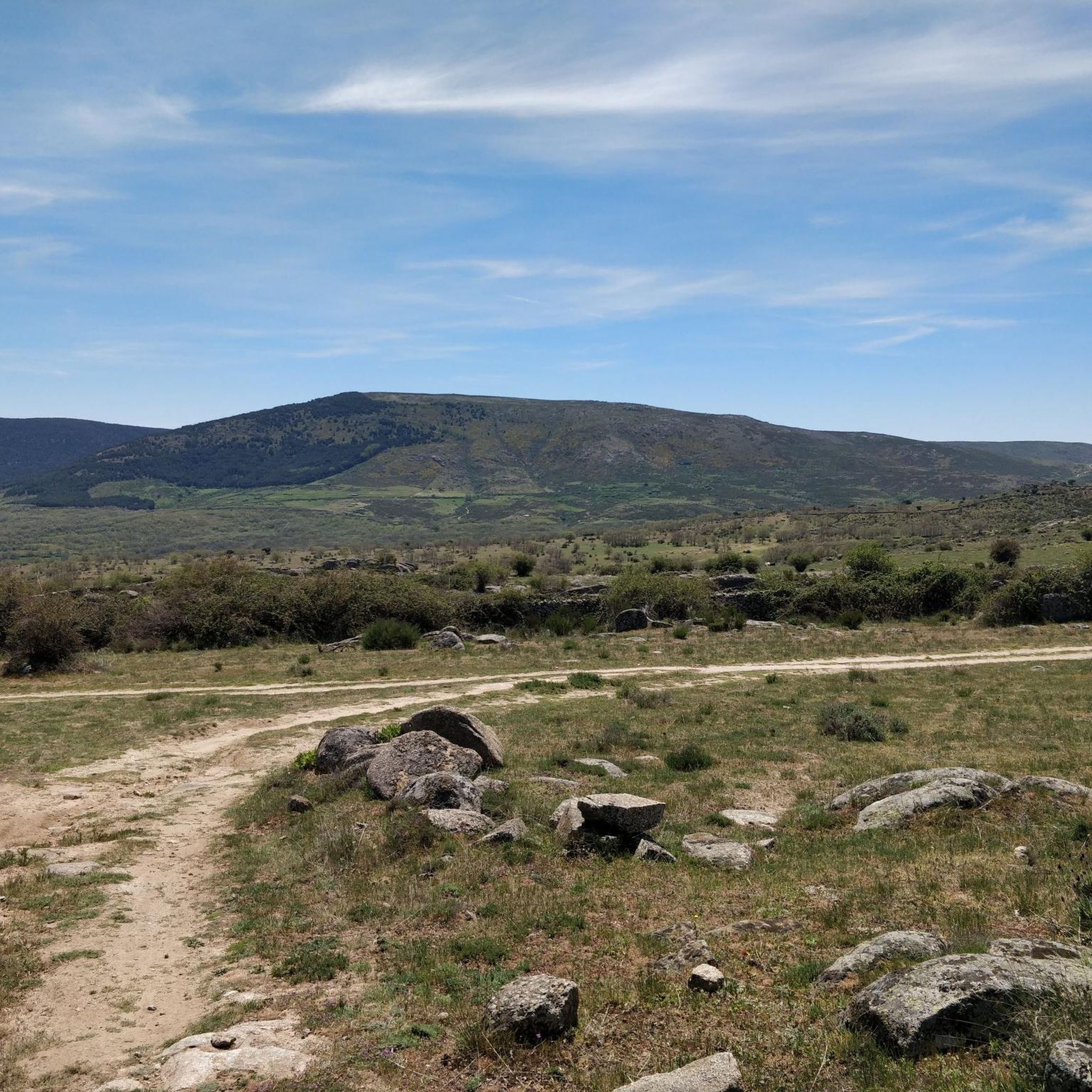
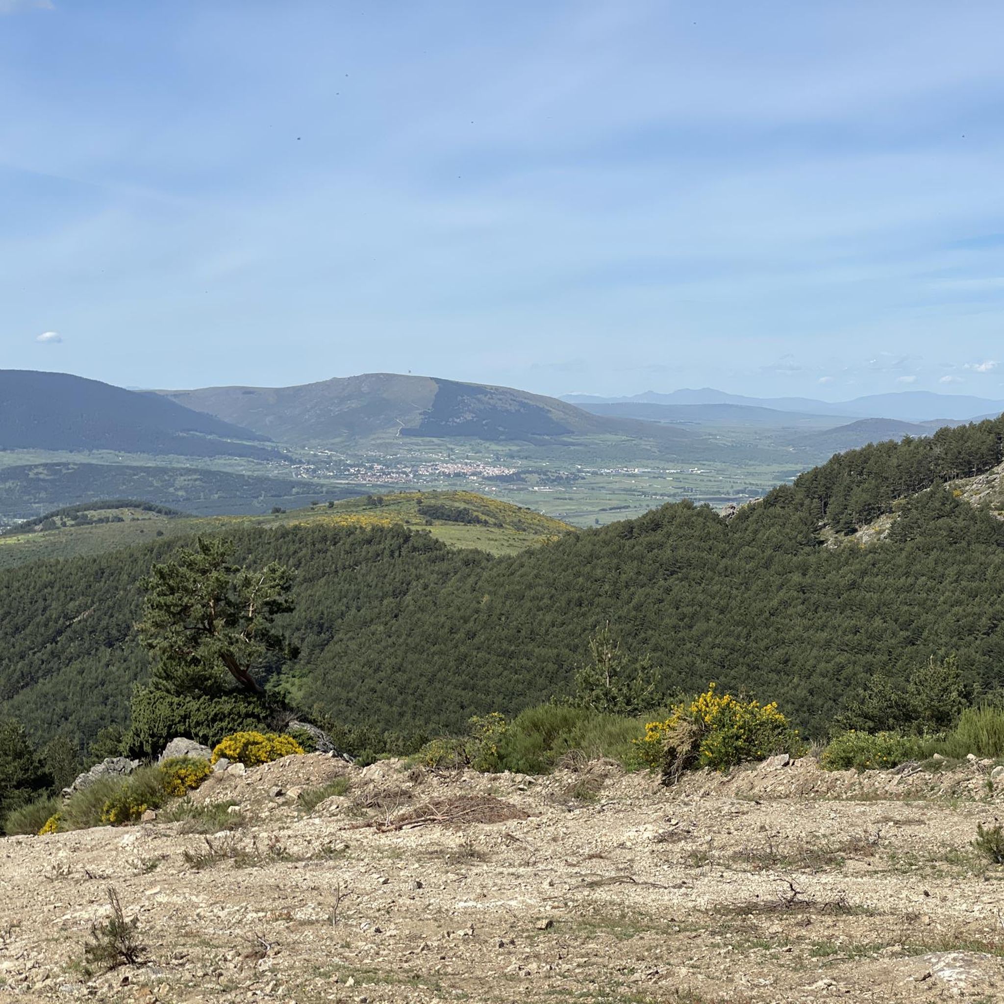
Road cycling routes around Ituero y Lama are situated at the foothills of the Sierra de Guadarrama, offering access to a mountainous region known for its challenging passes. The area features a landscape transition between these mountains and the cereal fields of the Duero basin. Cyclists can encounter unique geological formations like colored rock layers and peaceful valleys lined with poplars, alongside low-lying forests of holm oaks. This diverse terrain provides varied experiences for road cyclists.
Best road cycling routes…
Last updated: July 14, 2026
6
riders
128km
06:22
1,950m
1,950m
Hard road ride. Very good fitness required. Mostly well-paved surfaces and easy to ride.
22
riders
42.4km
02:10
560m
560m
Moderate road ride. Good fitness required. Mostly well-paved surfaces and easy to ride.

Sign up for free
12
riders
71.7km
03:03
570m
570m
Moderate road ride. Good fitness required. Mostly well-paved surfaces and easy to ride.
11
riders
95.1km
04:20
930m
930m
Hard road ride. Very good fitness required. Some segments of this route may be unpaved and difficult to ride.
13
riders
59.4km
02:51
850m
850m
Moderate road ride. Good fitness required. Mostly well-paved surfaces and easy to ride.
Get access to more routes and recommendations from other explorers.
Sign up for free
Already have an account?
Our route recommendations are based on thousands of hikes, rides, and runs completed by other people on komoot.
Start today with a free account
Your next adventure awaits.
Login or Signup
Popular around Ituero Y Lama

Tips from the Community

Turn around and you see the bridge and the alcazar... what a view!
0
0

Information about the “Acueducto de Segovia” and many more photos can be found in the corresponding hiking highlight at => https://www.komoot.com/de-de/highlight/4225055
3
0

Fantastic construction, it impressed me as much as the first time I saw it as a child.
3
0


The Paseo de San Marcos in Segovia is a charming corner that is worth exploring. Although it is not as well known as the historic center, it offers a unique experience and impressive views.
3
0
The Segovia Aqueduct is an impressive architectural structure that dates back to the 1st century AD. C. and was built by the Romans during the occupation of Hispania. Its main function was to supply water to the city of Segovia, transporting it from the mountains to the urban center. The aqueduct carries the waters of the Fuenfría spring, located in the mountains about 17 kilometers from the city, to the center of Segovia. The water is collected in a cistern called El Caserón and then taken through an ashlar canal to a second tower known as Casa de Aguas. After traveling more than 15 km, you arrive at the city. The Segovia Aqueduct is a heraldic symbol of the city and one of the most impressive works that the Romans left in their vast empire. If you ever have the opportunity to visit, I recommend that you do so. It's really amazing! 😊🏛️
13
0
The San Lázaro Bridge, located in Segovia, is a historical testimony that connects the city with its past and its natural environment. The bridge has a length of approximately 225 meters and has seven visible arches and one buried under Paseo Echegaray.
2
0

A natural path through the Eresma Valley. Walking through Alameda del Parral You can walk past many of the city's monuments, such as the Torre de Juan II of the Alcázar of Segovia that rises above the river valley.
1
0
Frequently Asked Questions
How many road cycling routes are available around Ituero y Lama?
There are 7 road cycling routes around Ituero y Lama. These routes offer a diverse range of experiences, from easy rides to challenging ascents through the Sierra de Guadarrama.
What are the different difficulty levels for road cycling routes in Ituero y Lama?
The routes around Ituero y Lama cater to various fitness levels. You'll find 1 easy route, 2 moderate routes, and 4 difficult routes, many of which involve significant elevation gains in the Sierra de Guadarrama.
Are there challenging road cycling routes for experienced cyclists in Ituero y Lama?
Yes, Ituero y Lama provides excellent access to the challenging mountain passes of the Sierra de Guadarrama National Park. Routes like Puertos de la Lancha y de la Cruz de Hierro — circular desde Villacastín, which covers nearly 130 km with almost 2000 meters of elevation gain, are designed to test endurance. Other passes such as Guadarrama, Navacerrada, Morcuera, and Canencia are also accessible from the area.
What kind of landscapes can I expect to see while road cycling in Ituero y Lama?
The region offers a fascinating landscape transition. You'll cycle through the foothills of the Sierra de Guadarrama, past unique colored rock layers, and alongside the peaceful Piezga stream valley lined with poplars. The routes also traverse reforested areas, holm oak groves, and the cereal fields of the Duero basin, providing varied scenery.
Are there any circular road cycling routes available?
Yes, many routes around Ituero y Lama are circular, allowing you to start and finish in the same location. For example, the Puertos de la Lancha y de la Cruz de Hierro — circular desde Villacastín is a popular circular option for experienced cyclists.
What can I see along the road cycling routes in Ituero y Lama?
Beyond the natural beauty, you can encounter several points of interest. Keep an eye out for the historic Church of Santa Bárbara and the Gothic-style Church of Santiago el Mayor in Ituero y Lama. You might also pass the ruins of the Ermita de Santa Elena or the charming The Lovers' Bridge over the Río Moros canyon.
What do other road cyclists enjoy the most about road cycling in Ituero y Lama?
The area is highly rated by the komoot community, with an average score of 5.0 stars. Cyclists often praise the challenging mountain passes of the Sierra de Guadarrama, the unique geological formations like colored rock layers, and the peaceful stream valleys. The diverse terrain and well-paved surfaces are also frequently highlighted.
Is Ituero y Lama suitable for family-friendly road cycling?
While many routes in the region feature significant climbs, there are options for easier rides. For instance, the Roadbike loop from Marugan is an easy route that could be suitable for families with older children or those looking for a more relaxed pace. Always check the route's difficulty and elevation profile to ensure it matches your family's capabilities.
What is the best time of year for road cycling in Ituero y Lama?
Ituero y Lama experiences cool summers and cold winters. The best time for road cycling is generally during the spring and autumn months when temperatures are milder. Summer can also be pleasant, especially at higher altitudes in the Sierra de Guadarrama, while winter rides may require more preparation due to colder conditions.
Are there places to eat or stay that are cycling-friendly near Ituero y Lama?
The region, including nearby villages like Villacastín and Zarzuela del Monte, offers various amenities. While specific cycling-friendly establishments aren't listed, you can find local restaurants and rural accommodations that cater to visitors. It's advisable to check in advance for services like secure bike storage.
Can I find routes that avoid major climbs and focus on flatter terrain?
While the Sierra de Guadarrama is known for its challenging passes, the landscape transitions towards the cereal fields of the Duero basin offer flatter sections. Routes like the Roadbike loop from Marugan are classified as easy, indicating less demanding terrain suitable for those preferring a gentler ride.
Are there any routes that offer scenic viewpoints?
Absolutely. The mountainous terrain of the Sierra de Guadarrama naturally provides numerous panoramic views. Additionally, specific highlights like the Risca Viewpoint, Valdeprados, are accessible and offer stunning vistas of the surrounding landscapes, including the unique geological formations.
Most popular attractions around Ituero Y Lama

Get inspired with the komoot mobile app


Explore more
Browse the best Road cycling routes in other regions.
