The best MTB trails around National Park Sierra de Andújar
4.7
(44)
1,015
riders
88
rides
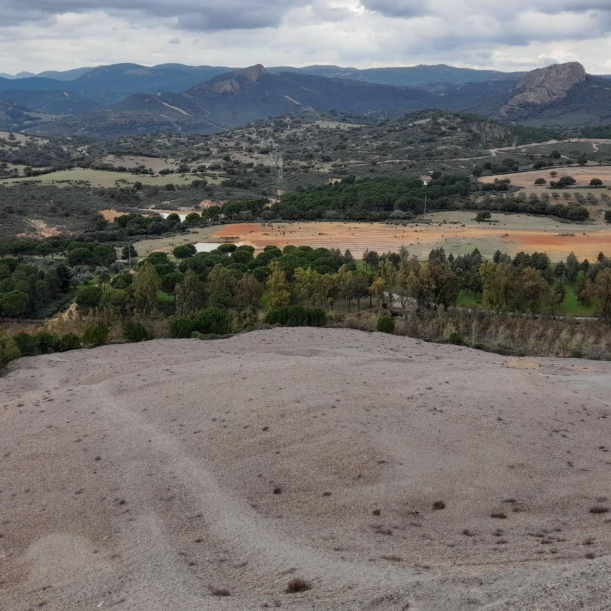
Mountain biking around National Park Sierra de Andújar offers diverse terrain within the Sierra Morena, characterized by gentle undulations and altitudes ranging from 400 to 1,290 meters. The landscape features extensive Mediterranean forests, including holm oak, cork oak, and gall oak, alongside rivers like the Yeguas and Jándula, which feed into significant reservoirs. This varied environment provides a range of mountain bike trails suitable for different skill levels. The park is also known for its rich biodiversity and cultural sites,…
Last updated: July 11, 2026
2
riders
Hard mountain bike ride. Very good fitness required. Suitable for all skill levels.
Hard mountain bike ride. Very good fitness required. Advanced riding skills necessary.

Sign up for free
5.0
(3)
175
riders
65.2km
06:07
1,400m
1,400m
Hard mountain bike ride. Very good fitness required. Suitable for all skill levels.
5.0
(1)
44
riders
41.7km
03:25
720m
720m
Moderate mountain bike ride. Good fitness required. Suitable for all skill levels.
5.0
(2)
54
riders
56.4km
04:12
680m
680m
Moderate mountain bike ride. Good fitness required. Suitable for all skill levels.
Get access to more routes and recommendations from other explorers.
Sign up for free
Already have an account?
Our route recommendations are based on thousands of hikes, rides, and runs completed by other people on komoot.
Start today with a free account
Your next adventure awaits.
Login or Signup
Popular around National Park Sierra de Andújar
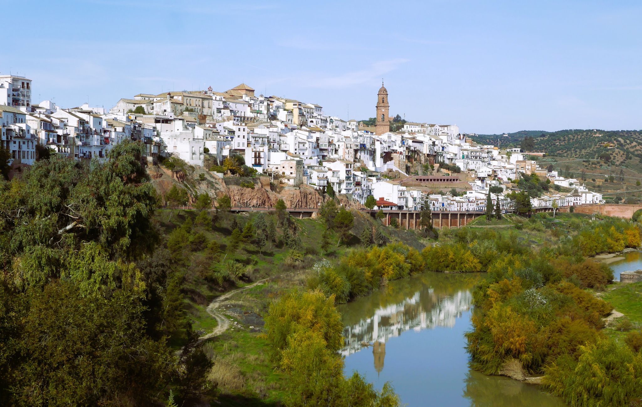
Hike the glorious countryside of Cordoba and Jaen – Sierra Morena (GR 48)
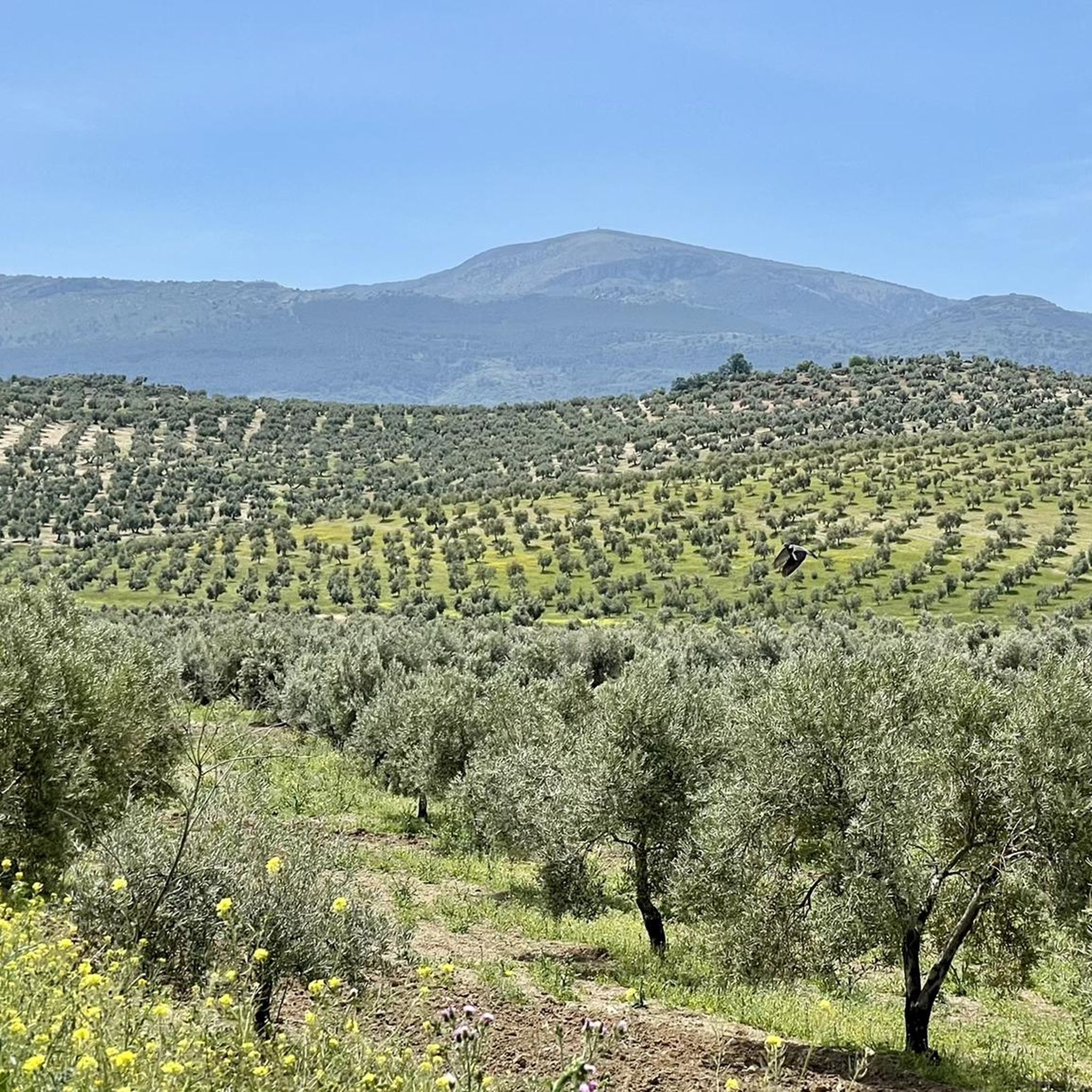
Running Trails around National Park Sierra de Andújar
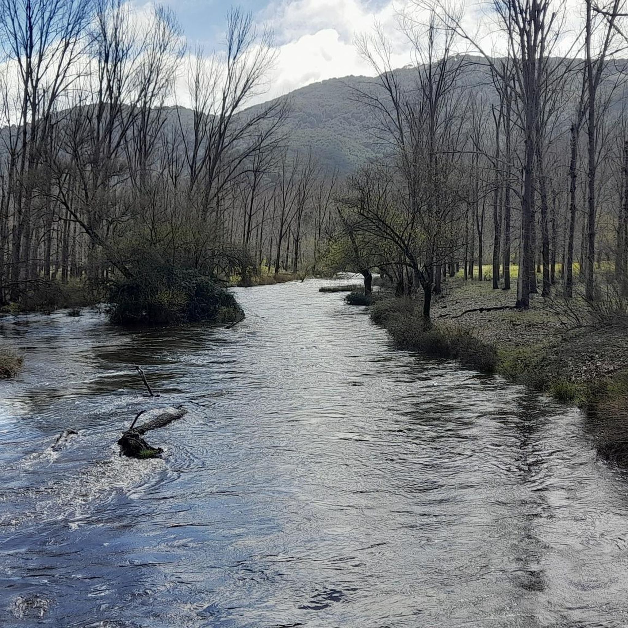
Cycling around National Park Sierra de Andújar
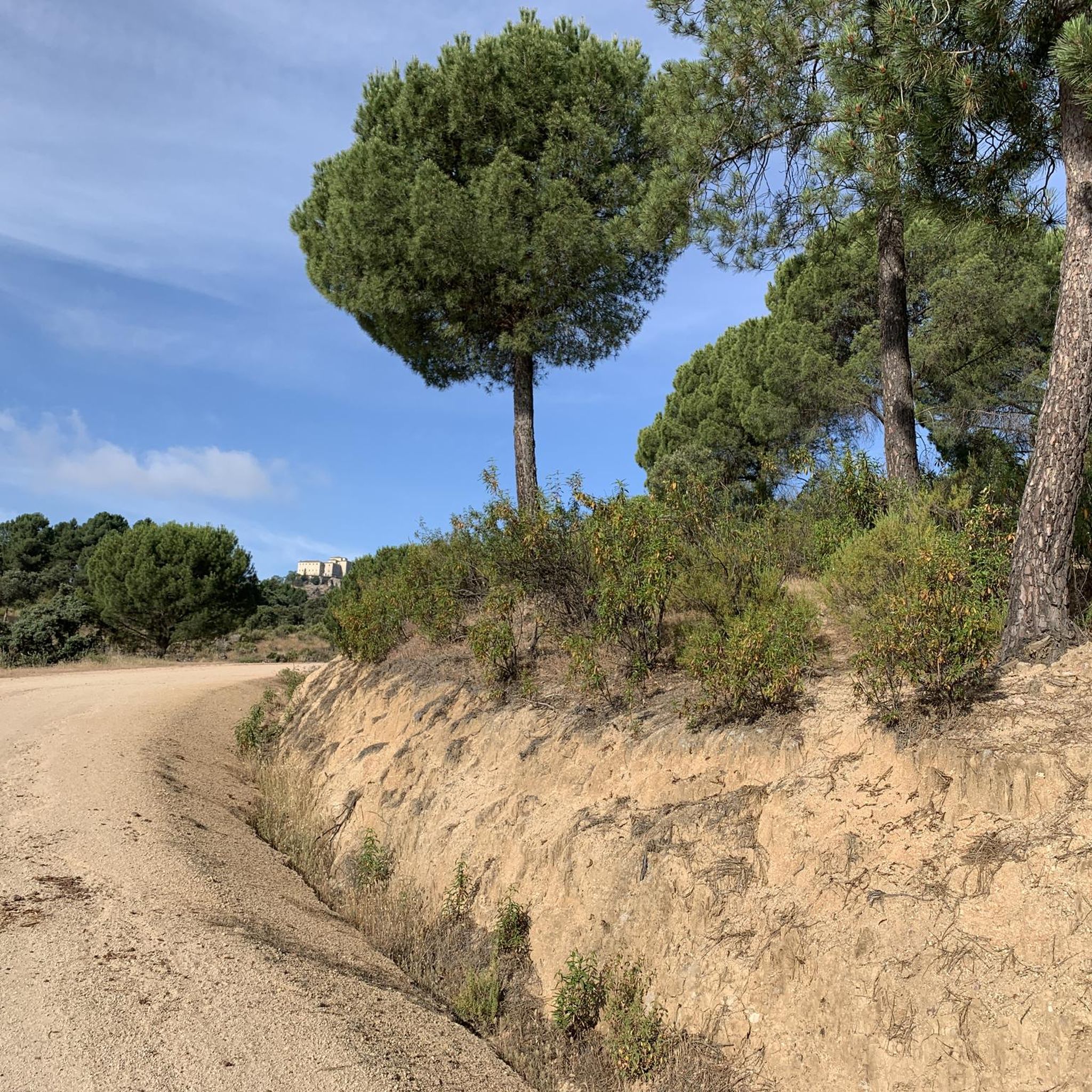
Road Cycling Routes around National Park Sierra de Andújar
Hiking around National Park Sierra de Andújar

Gravel biking around National Park Sierra de Andújar
Other adventures around National Park Sierra de Andújar

Tips from the Community

It is a river that originates in the south of the province of Ciudad Real and is formed by the confluence of the Montoro and Ojailén rivers. It creates two reservoirs before flowing past the Sanctuary of the Virgin of the Head. The first reservoir is called "La Lancha" and the second, "Encinarejo," is used for swimming during the summer months. It flows into the Guadalquivir River very near the town of Marmolejo.
13
0
The first stop on the old road to the Sanctuary of the Virgin of the Head is where pilgrims rest and have a light lunch before continuing their journey. Here you'll find several watering troughs so the horses can quench their thirst during the approximately 20-kilometer trek from the city of Andújar. A small chapel has also been built where pilgrims can pray to the Virgin.
6
0
Cardeña is a town in the north of the province of Córdoba with a population of just over 1,400 inhabitants, at an altitude of 821 meters above sea level. The municipality of this beautiful town includes the small towns of La Venta del Charco and Azuel. The population trend, as in most towns in Spain, has been declining, with a loss of almost 500 inhabitants since 1979. It's worth stopping by its bakeries selling bread and typical local pastries, as well as traditional cured meats, and of course, enjoying a few beers while enjoying its gastronomy.
0
0

Cardeña is a small but historically and naturally important municipality in the region. It is located in the northeast of the province of Córdoba and is part of the Parque Natural Sierra de Cardeña y Montoro, a protected natural area. Cardeña is an ideal place for a break by bike, good food and nature worth seeing. Perfect for a bike tour with a culinary break in picturesque surroundings! The region was sparsely populated for a long time and was strategically used as a border area between Christian and Muslim dominions in the Middle Ages. During the reign of Charles III (1759-1788), Spain encouraged the settlement of remote areas. As a result of this colonization policy, several small villages were created in the Sierra Morena, including Cardeña.
2
0
The hermitage of San Ginés is an important milestone for pilgrim walkers who make the journey from Andújar to the Sanctuary of the Virgen de la Cabeza, along what is known as the old road or bridle path. San Ginés is the place where there is a kind of hill that leaves Andújar behind in the view, to soon resume the views of the Jándula river valley. Walkers usually stop there to rest and regain strength. The hermitage and its surroundings were also rehabilitated a few years ago.
10
0
It is a hermitage of the same name and a resting place for pilgrims on the way up to the Sanctuary of the Virgin of the Head. From here a descent begins until the passage through the Jándula River.
13
0

You must bring hiking poles. The best time to go is from November to April.
5
0

Small town close to one of the meanders of the Río Guadalquivir and located at the foot of the Sierra de Cardeña y Montoro Natural Park.
1
0
Frequently Asked Questions
How many mountain bike trails are available in National Park Sierra de Andújar?
There are over 90 mountain bike trails in and around National Park Sierra de Andújar. These routes cater to various skill levels, with 19 easy, 52 moderate, and 22 difficult options.
Are there any easy mountain bike trails suitable for beginners in National Park Sierra de Andújar?
Yes, the park offers 19 easy mountain bike trails, perfect for beginners or those looking for a relaxed ride. These routes typically have minimal elevation gain and are shorter in duration, allowing you to enjoy the Mediterranean forest landscapes at a comfortable pace.
What kind of wildlife can I expect to see while mountain biking in Sierra de Andújar?
National Park Sierra de Andújar is renowned for its rich biodiversity. You might spot endangered species like the Iberian lynx, wolves, and imperial eagles. Other common sightings include red deer, wild boar, wild cats, and mongooses. The park is also home to 178 bird species, including black vultures and golden eagles, making it excellent for wildlife observation.
Are there any circular mountain bike trails in the area?
Yes, many routes in National Park Sierra de Andújar are circular. For example, the moderate route La Carreta on the Old Road – San Ginés Hermitage loop from Andújar is a 41.7 km circular trail that takes approximately 3 hours 28 minutes to complete.
What are some notable landmarks or attractions I can see along the mountain bike trails?
Several trails pass by significant landmarks. You can visit the historic Sanctuary of the Virgin of the Cabeza, the San Ginés Hermitage, or the Encinarejo Reservoir. The park also features scenic viewpoints like Valley Viewpoint and Los Pastores Viewpoint, offering stunning panoramas of the landscape.
What is the best time of year to go mountain biking in National Park Sierra de Andújar?
The park is suitable for mountain biking year-round, but spring (April-May) and autumn (September-October) offer the most pleasant temperatures and vibrant scenery. Autumn is particularly special for observing the red deer rutting season. Summers can be hot, so early morning rides are recommended, while winters are generally mild.
Are there any mountain bike routes that offer great views?
Absolutely. The park is known for its numerous spectacular viewpoints. Many trails traverse areas with elevated positions, providing panoramic vistas of the Mediterranean forests and river valleys. Look for routes that pass by named viewpoints such as El Tamujar, Migorramos, and El Peregrino, or the Valley Viewpoint and Los Pastores Viewpoint.
What do other mountain bikers say about the trails in National Park Sierra de Andújar?
The mountain bike trails in National Park Sierra de Andújar are highly rated by the komoot community, with an average score of 4.6 stars from over 40 reviews. More than 1000 mountain bikers have explored the varied terrain, often praising the well-preserved Mediterranean forests, diverse landscapes, and the sense of immersion in nature.
Are there any moderate mountain bike trails for intermediate riders?
Yes, the park has 52 moderate mountain bike trails, ideal for intermediate riders. These routes offer a good balance of challenge and enjoyment. An example is the Marmolejo – Marmolejo Spa loop from Andújar, a 55.1 km trail that typically takes around 4 hours 4 minutes to complete.
Is public transport available to access the mountain bike trails?
While public transport options directly into the heart of the National Park Sierra de Andújar are limited, you can often reach nearby towns like Andújar by bus. From there, you might need to arrange local transport or cycle to the trailheads. It's advisable to check local bus schedules for the most up-to-date information.
Are there any challenging mountain bike trails for experienced riders?
Experienced riders will find 22 difficult mountain bike trails in the area. These routes often feature significant elevation changes and longer distances, sometimes requiring riders to push their bikes. The park's diverse terrain, including gentle undulations and higher peaks, provides a good challenge for advanced mountain bikers.
Most popular routes around National Park Sierra de Andújar
Most popular attractions around National Park Sierra de Andújar

Get inspired with the komoot mobile app


Explore more
Browse the best MTB trails in other regions.
