The best walks and hikes around National Park Sierra de Huétor
4.5
(2237)
14,575
hikers
95
hikes
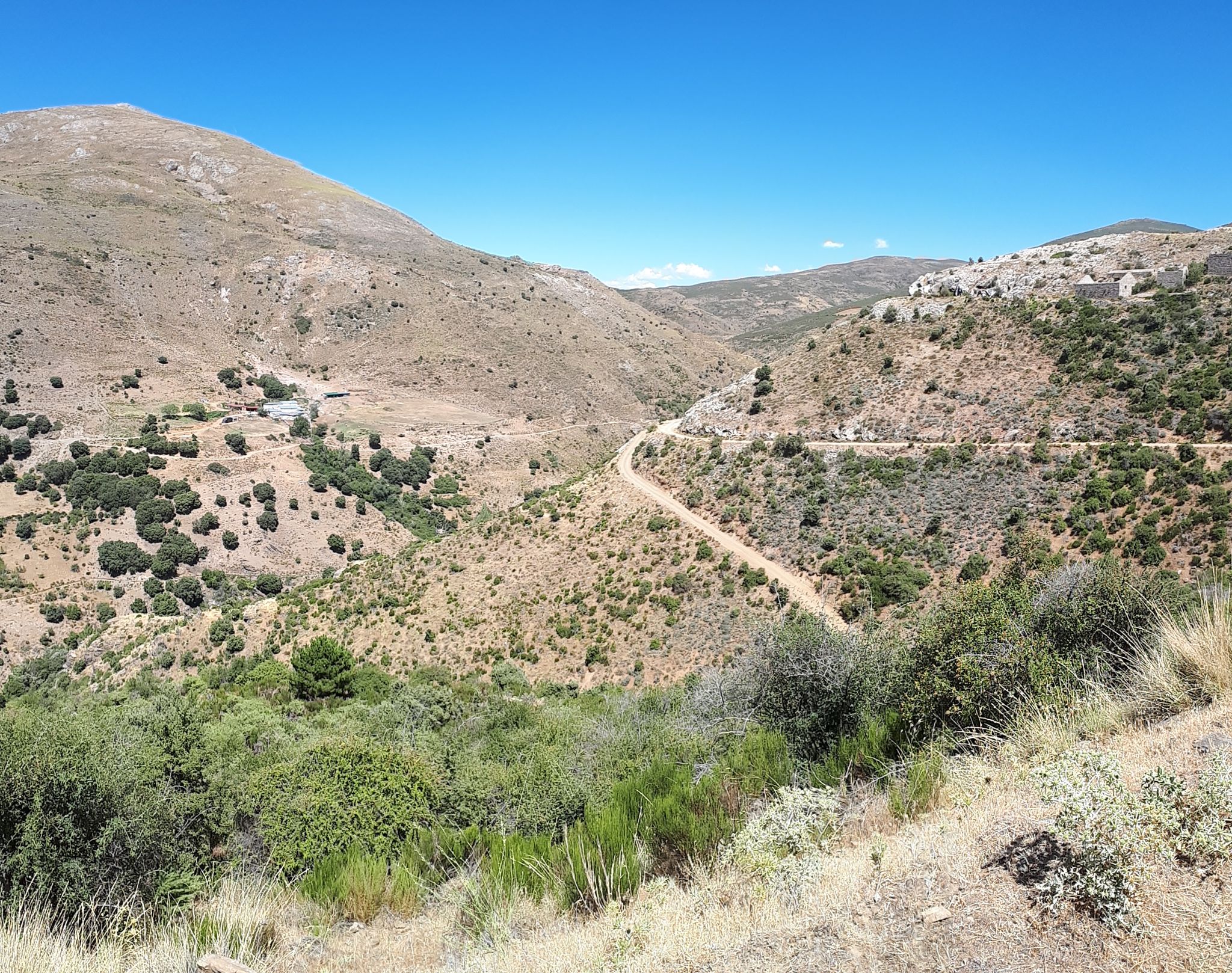
Hiking around National Park Sierra de Huétor features a diverse landscape characterized by dramatic limestone formations, deep ravines, and extensive pine and oak forests. Elevations within the park range from 900 to 1,900 meters above sea level, offering varied terrain for exploration. The park is also notable for its numerous springs and is home to the sources of the Darro and Fardes rivers, contributing to its rich natural features.
Best hiking trails around National Park Sierra de Huétor
- The most…
Last updated: October 10, 2026
4.8
(41)
147
hikers
15.2km
04:52
480m
490m
Moderate hike. Good fitness required. Mostly accessible paths. Sure-footedness required.
4.6
(22)
122
hikers
6.98km
02:25
340m
340m
Hard hike. Good fitness required. Sure-footedness, sturdy shoes and alpine experience required.

4.9
(15)
107
hikers
4.84km
01:30
180m
180m
Easy hike. Great for any fitness level. Easily-accessible paths. Suitable for all skill levels.
4.5
(17)
46
hikers
6.39km
01:50
130m
120m
Moderate hike. Great for any fitness level. Mostly accessible paths. Sure-footedness required.
4.8
(4)
29
hikers
8.14km
03:27
510m
510m
Hard hike. Good fitness required. Sure-footedness, sturdy shoes and alpine experience required.
Get access to more routes and recommendations from other explorers.
Already have an account?
Our route recommendations are based on thousands of hikes, rides, and runs completed by other people on komoot.
Start today with a free account
Your next adventure awaits.
Popular around National Park Sierra de Huétor
La Vega de Granada – walks a stone's throw from the city
Nature and singletrack – bikepacking in Spain’s Sierra de Huétor
Running Trails around National Park Sierra de Huétor
MTB Trails around National Park Sierra de Huétor
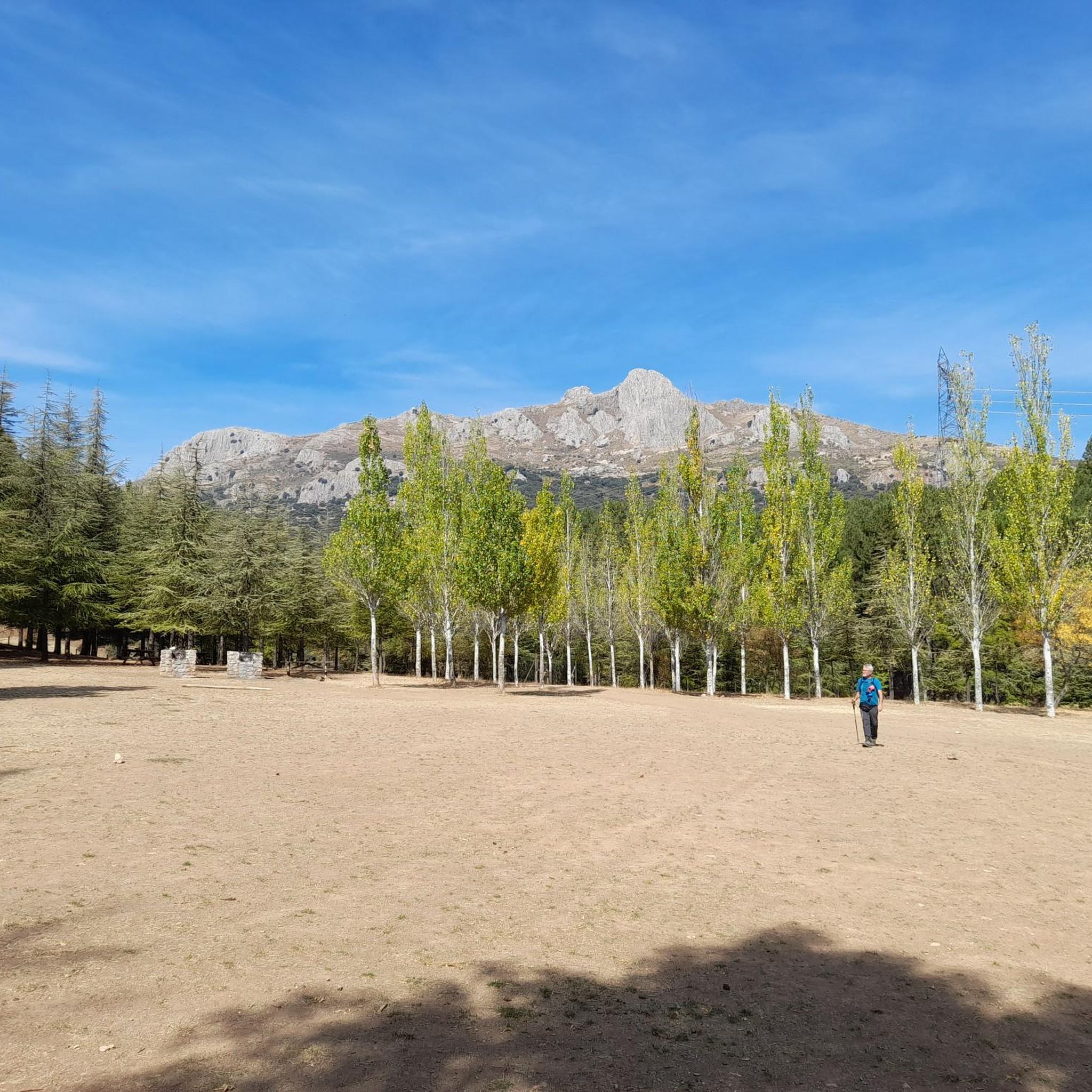
Cycling around National Park Sierra de Huétor
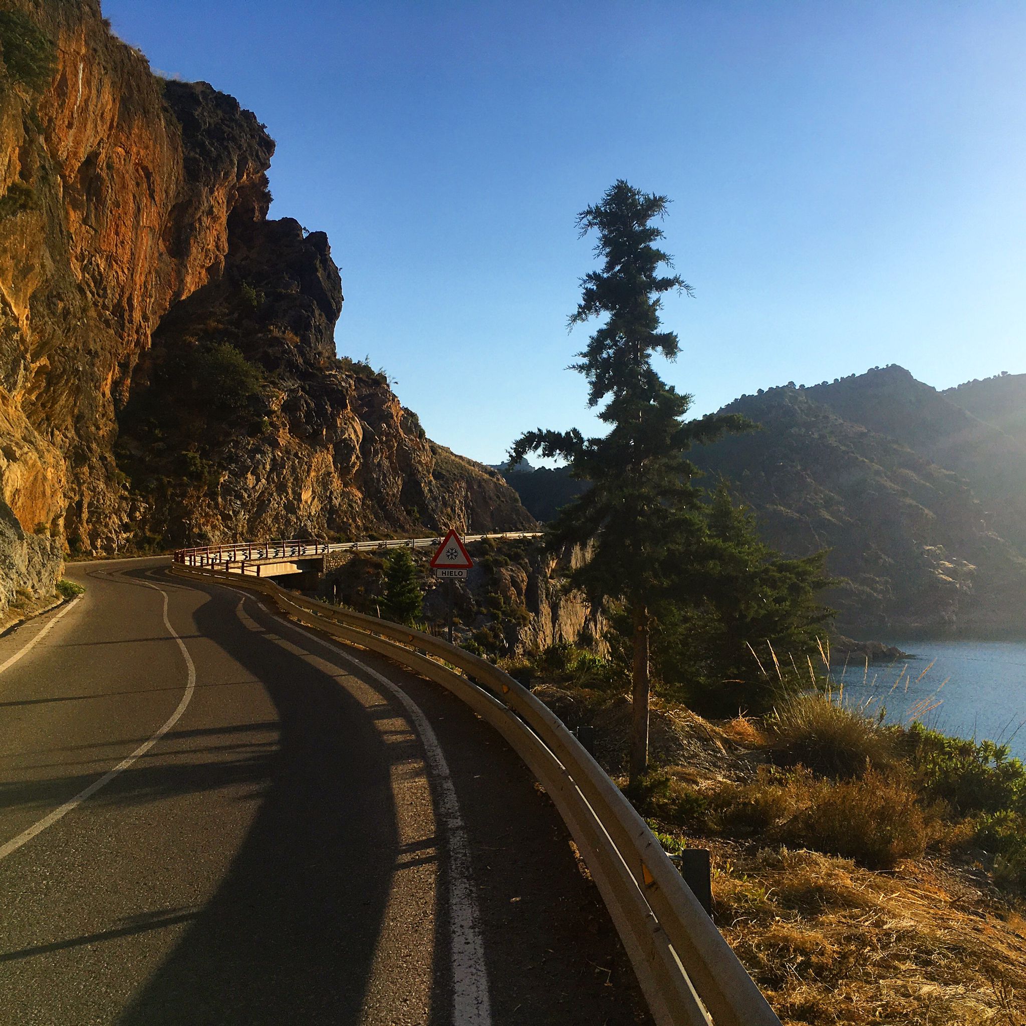
Road Cycling Routes around National Park Sierra de Huétor

Gravel biking around National Park Sierra de Huétor
Other adventures around National Park Sierra de Huétor


Tips from the Community

It's not a cemetery, it's a forest house.
0
0

A place that concentrates all types of legends and that has been the subject of all types of programs about paranormal phenomena.
1
0

From the magnificent hill dominated by the white cross of Alfacar, you can see an extensive landscape in which Sierra Elvira, Sierra Nevada and the Cubillas reservoir stand out, among others.
2
0

Very simple route with little slope. Ideal to do with children so that they know part of our history.
0
0

In the Sierra de Alfaguara there is an old tuberculosis hospital that is currently in ruins. A German woman, Berta Wihelmi, built this building altruistically in order to treat this disease that had taken the life of her brother. It is easy to get there by bicycle through a circular road that surrounds the hill where it is located.
0
0

This cave is one of the most outstanding in the Sierra de Huétor Natural Park, you can easily access its main caverns closest to the outside and contemplate the imposing columns that support it.
2
0
Casa Hogar de FAISEM “Los Peñoncillos”, open since 2021. The place was previously a forest house. It has twenty places for stays between one and three months. FAISEM is the Andalusian Public Foundation for the Social Integration of People with Mental Illness.
2
0
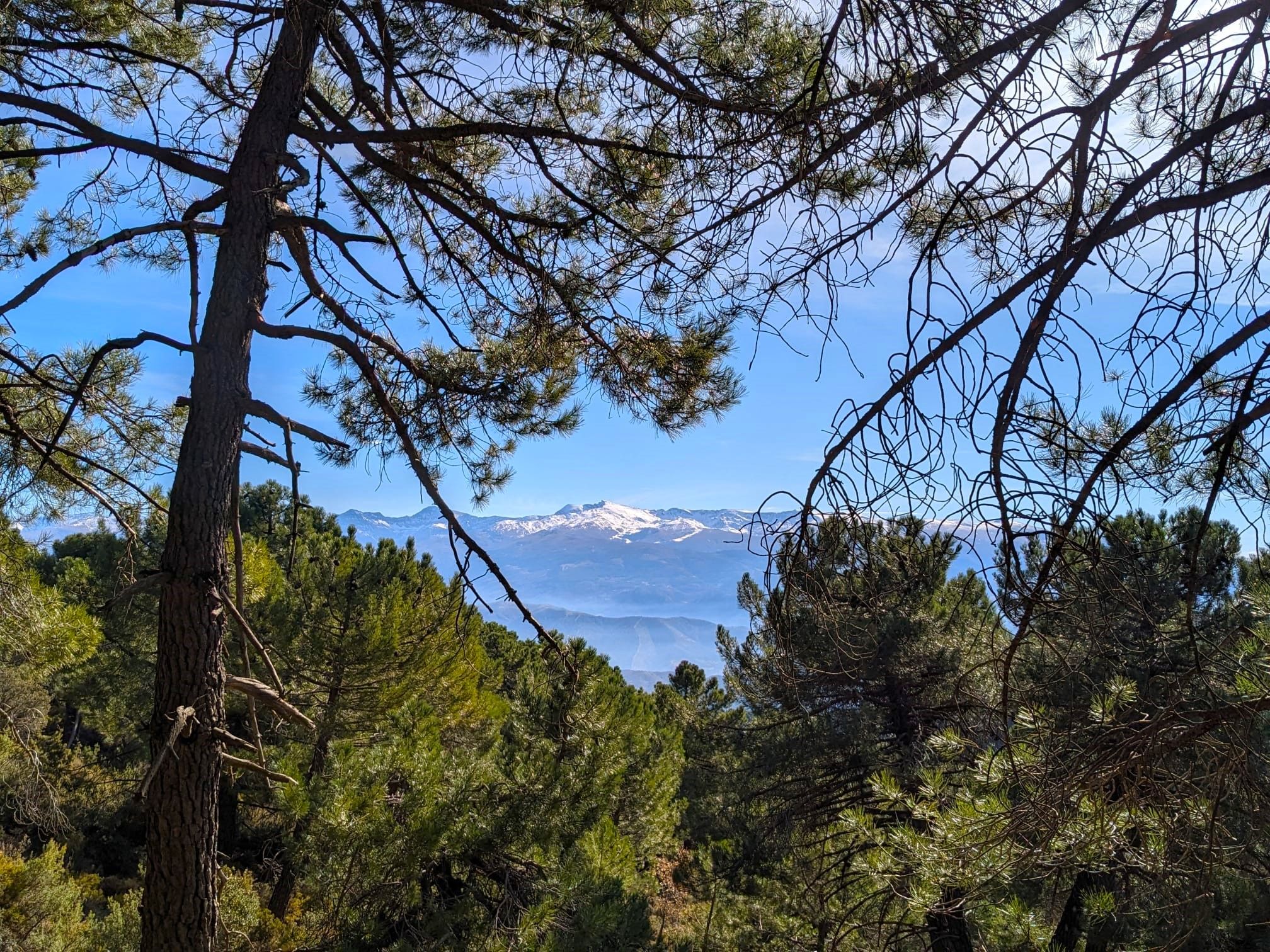
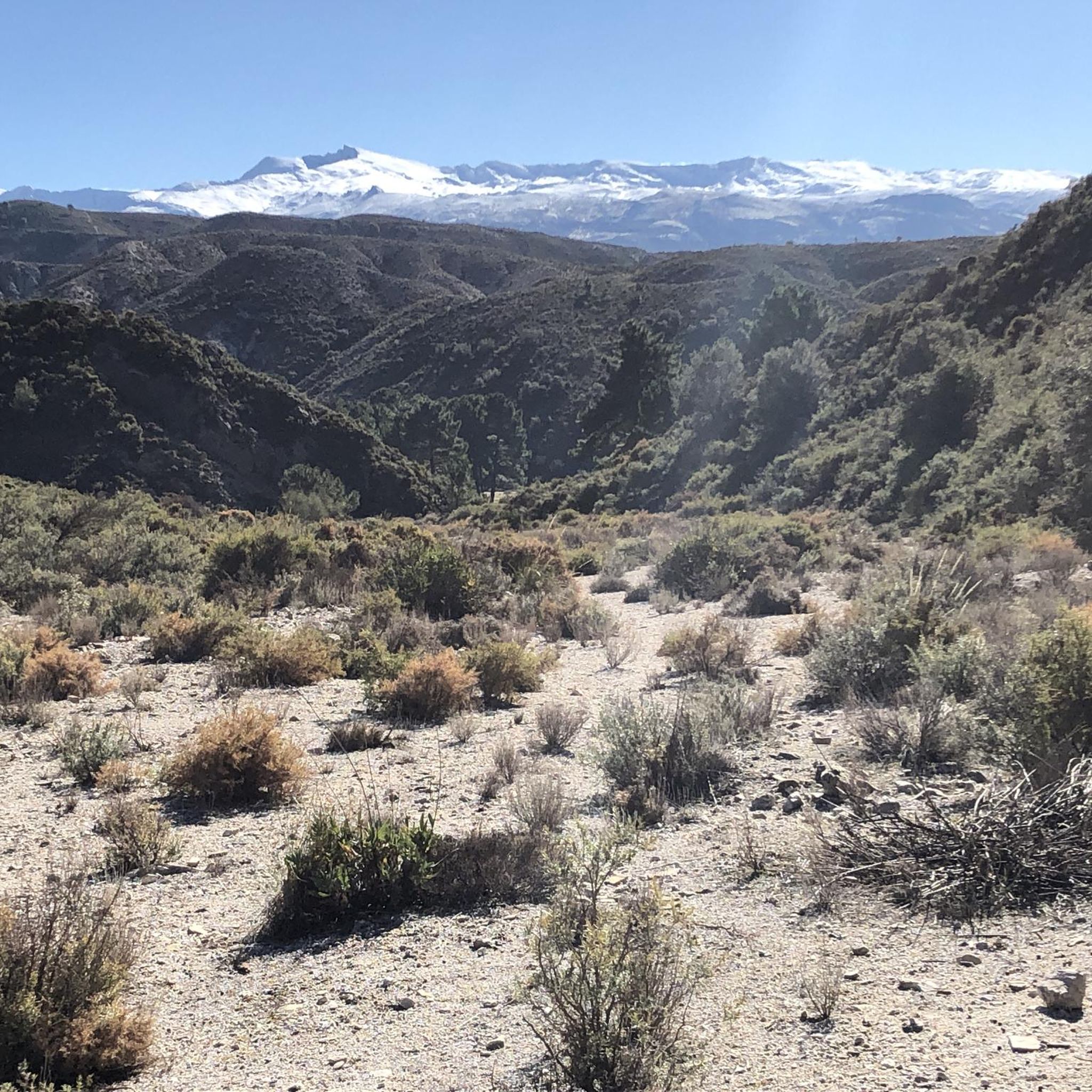
Impressive views of the Sierra de Huétor Natural Park at your feet and in the distance the highest peaks of Sierra Nevada, with snow for many months of the year.
1
1
Frequently Asked Questions
How many hiking trails are available in National Park Sierra de Huétor?
National Park Sierra de Huétor offers a wide variety of hiking experiences, with over 80 trails documented on komoot. These range from easy strolls to challenging ascents, ensuring options for all fitness levels.
What kind of terrain can I expect when hiking in Sierra de Huétor?
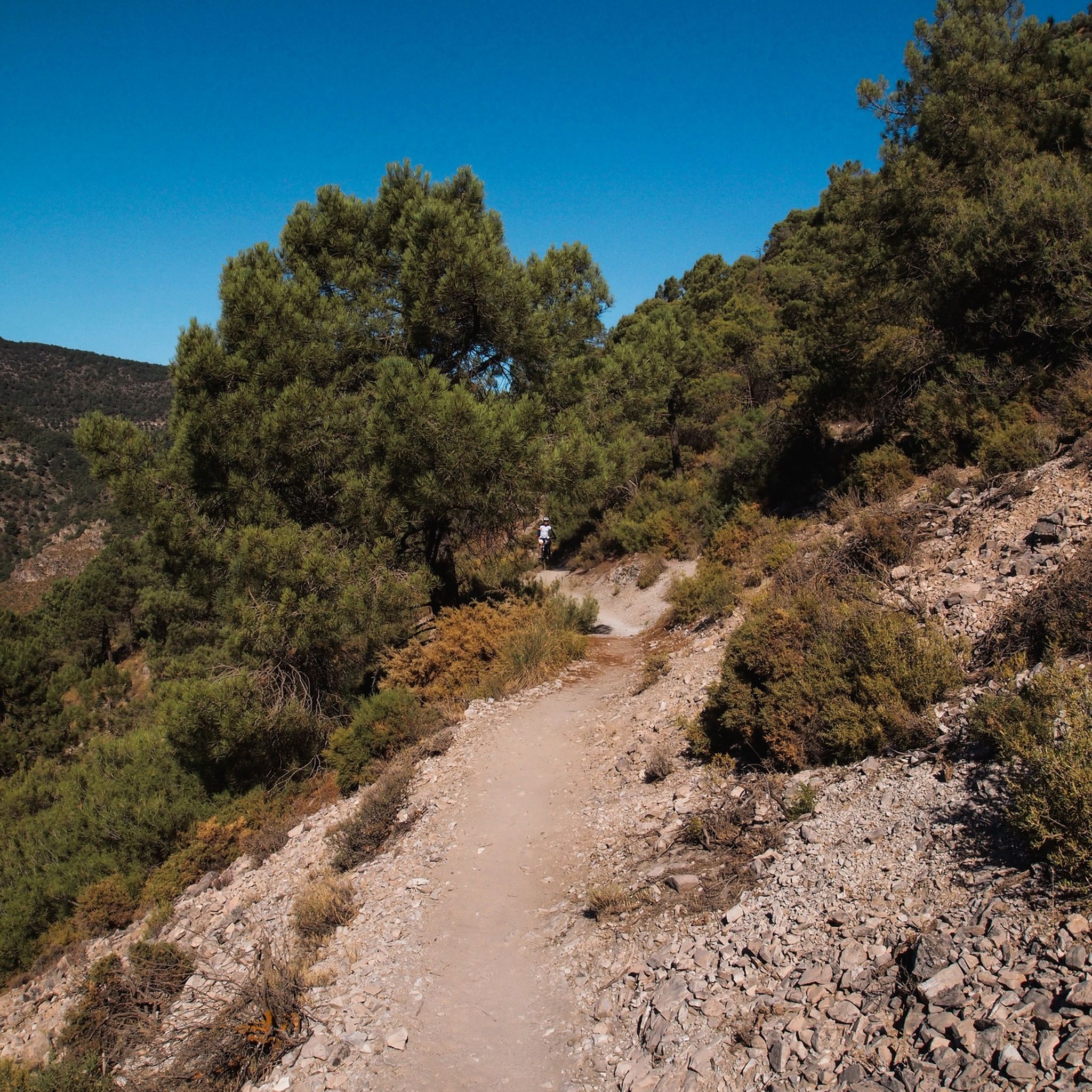
The park is characterized by a dramatic limestone landscape, featuring spectacular ravines, steep cliffs, and numerous caves. You'll hike through lush pine and oak forests, interspersed with rolling meadows and rocky outcrops. Elevations vary significantly, from 900 to 1,900 meters above sea level, providing diverse and engaging terrain.
Are there any easy, family-friendly trails in the park?
Yes, there are several easy trails suitable for families. For example, The Trenches Itinerary is an easy 4.8 km route that offers a gentle walk through historical areas. The park has 11 easy routes in total, perfect for a relaxed outing.
What historical sites or landmarks can I see while hiking?
Many trails in Sierra de Huétor offer a glimpse into the region's history. You can explore historical trenches and the ruins of a sanatorium, remnants from the Spanish Civil War. The Fuente del Fraile-Sanatorio Trail, for instance, leads past some of these ruins. You can also visit the Maúllo Trench or the Sanatorio Antituberculoso de la Alfaguara.
Are there any trails that feature caves or unique natural formations?
Absolutely. The park's limestone topography has created fascinating cave systems. The Caves and Crosses of the Sierra de la Alfaguara Trail is a challenging route that explores some of these features. You can also visit the Cave of the Marbles, a notable natural monument within the park.
What is the best time of year to go hiking in National Park Sierra de Huétor?
The park is enjoyable year-round, but spring and autumn generally offer the most pleasant hiking conditions with mild temperatures and vibrant scenery. Summers can be hot, making early morning or late afternoon hikes preferable, while winters can bring snow to higher elevations, offering a different kind of beauty for those prepared.
Are there any viewpoints with panoramic views of the Sierra Nevada?
Yes, many trails provide stunning panoramic views, especially of the magnificent Sierra Nevada mountain range. The Cruz de Víznar Trail, a difficult 7 km path, is known for its challenging ascent and rewarding vistas. You can also seek out the Los Pozos Viewpoint for expansive scenery.
Can I bring my dog on the hiking trails in Sierra de Huétor?
Generally, dogs are permitted on trails within National Park Sierra de Huétor, but it's always recommended to keep them on a leash to protect the local wildlife and ensure a pleasant experience for all hikers. Please check specific trail regulations or park signage for any restrictions.
What do other hikers enjoy most about the trails in National Park Sierra de Huétor?
The trails in National Park Sierra de Huétor are highly rated by the komoot community, with an average score of 4.6 stars from over 700 reviews. Hikers often praise the diverse landscapes, the well-maintained paths, and the opportunity to combine natural beauty with historical exploration.
Are there any circular hiking routes available?
Yes, many of the trails in Sierra de Huétor are designed as circular routes, allowing you to start and end at the same point. This makes planning easier and offers a varied experience without retracing your steps. You can filter for circular routes on komoot to find options that suit your preferences.
Is there public transport access to the trailheads in the park?
While public transport options directly into the heart of the park may be limited, some local bus services connect Granada with villages surrounding the park, such as Huétor Santillán. From these villages, you might be able to access certain trailheads. Driving and parking at designated areas is often the most convenient way to reach many starting points.
Where can I find parking for the hiking trails?
Designated parking areas are available at various entry points and popular trailheads within and around the park. The Puerto Lobo visitor center, for example, serves as a starting point for several trails and offers amenities including parking. Always look for official parking signs and avoid obstructing access roads.
Most popular routes around National Park Sierra de Huétor
Most popular attractions around National Park Sierra de Huétor

Get inspired with the komoot mobile app


Explore more
Browse the best Hikes in other regions.
