The best running trails around Villamartín
4.4
(7)
875
runners
46
runs
Jogging routes around Villamartín, located in the Alicante province of Spain, offer diverse terrain for runners. The region is characterized by well-maintained golf course paths, proximity to Mediterranean beaches and coastal routes, and unique natural features like the nearby salt lakes. Pine forests and green spaces contribute to a varied landscape, providing both serene and slightly more challenging running environments. This combination of features makes Villamartín suitable for year-round outdoor activities.
Best jogging routes around Villamartín
- The most popular jogging route is Running loop from Villamartín, a 4.3 miles (6.9 km) trail that takes about 43 minutes to complete, offering a moderate path with gentle elevation changes.
- Another top favourite among local runners is Running loop from Prado del Rey, a moderate 5.5 miles (8.8 km) path. This route provides a mix of terrain, winding through green spaces and offering a good workout.
- Local runners also love the Castillo de Matrera – Prado del Rey loop from Prado del Rey, a 6.8 miles (10.9 km) trail leading through varied landscapes with some elevation, often completed in about 1 hour 22 minutes.
- Jogging around Villamartín is defined by golf course paths, coastal proximity, and pine forests. The network offers options for different ability levels, from easy loops to more challenging routes with greater elevation.
- The routes in Villamartín are highly rated by the komoot community with an average score of 4.0 stars from over 4 reviews. More than 700 runners have used komoot to explore Villamartín's varied terrain.
Last updated: June 27, 2026
37
runners
75.1km
10:40
3,020m
3,020m
Hard run. Very good fitness required. Sure-footedness, sturdy shoes and alpine experience required.
5.0
(2)
22
runners
13.4km
01:34
380m
380m
Hard run. Very good fitness required. Mostly paved surfaces. Suitable for all skill levels.

Sign up for free
13
runners
9.24km
01:05
220m
220m
Moderate run. Good fitness required. Mostly paved surfaces. Suitable for all skill levels.
11
runners
11.9km
01:27
300m
300m
Moderate run. Good fitness required. Mostly paved surfaces. Suitable for all skill levels.
14
runners
39.7km
05:18
1,210m
1,210m
Hard run. Very good fitness required. Mostly paved surfaces. Suitable for all skill levels.
Get access to more routes and recommendations from other explorers.
Sign up for free
Already have an account?
Our route recommendations are based on thousands of hikes, rides, and runs completed by other people on komoot.
Start today with a free account
Your next adventure awaits.
Login or Signup
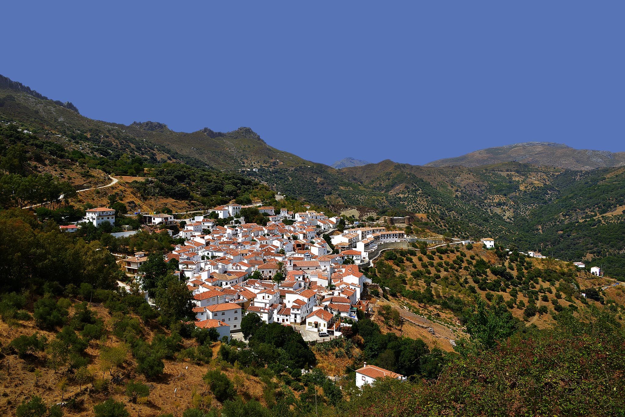
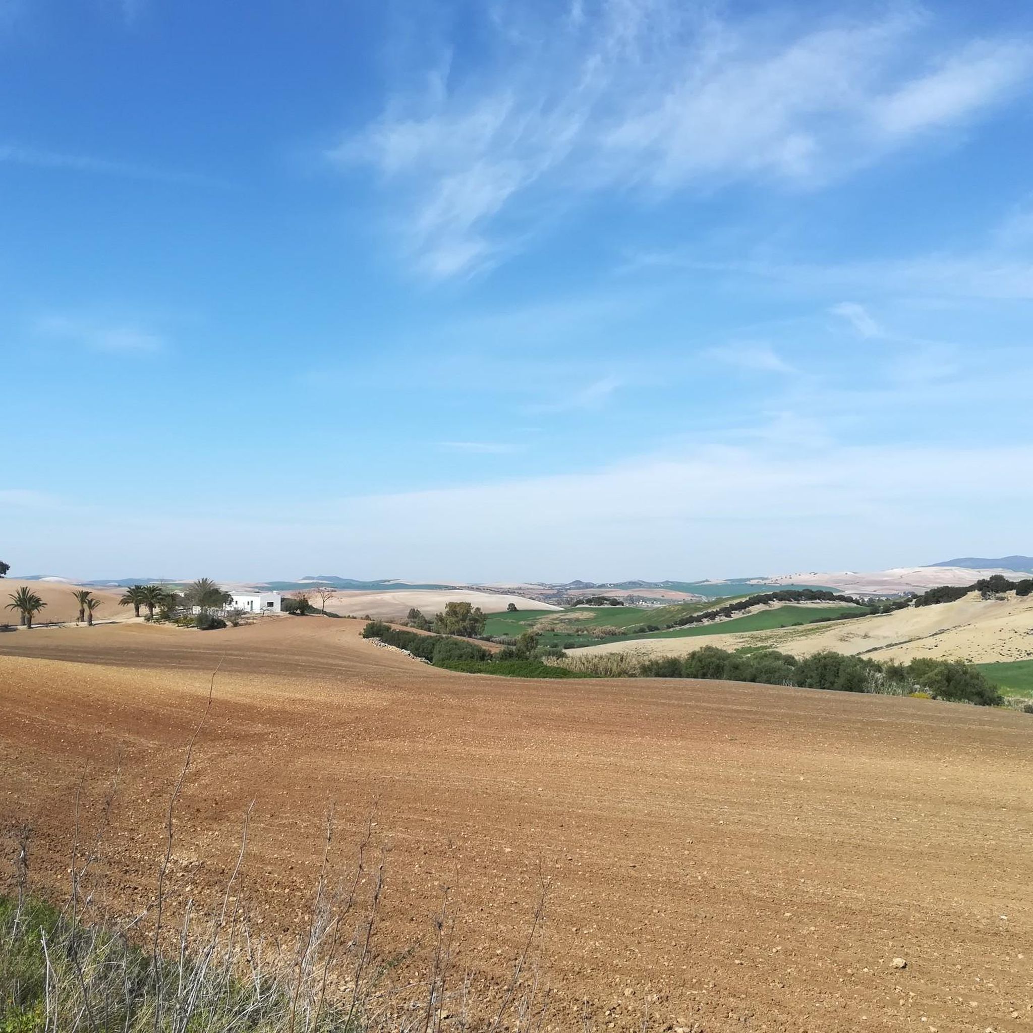
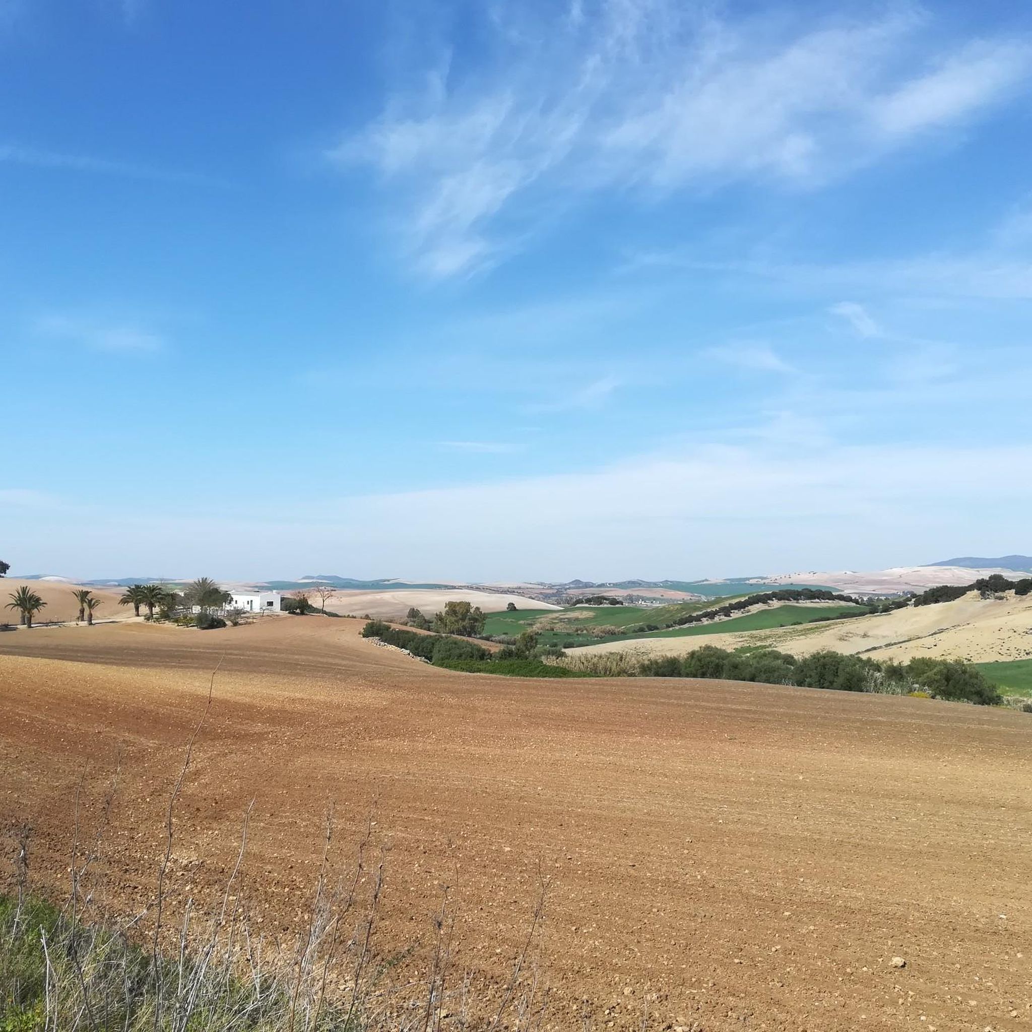
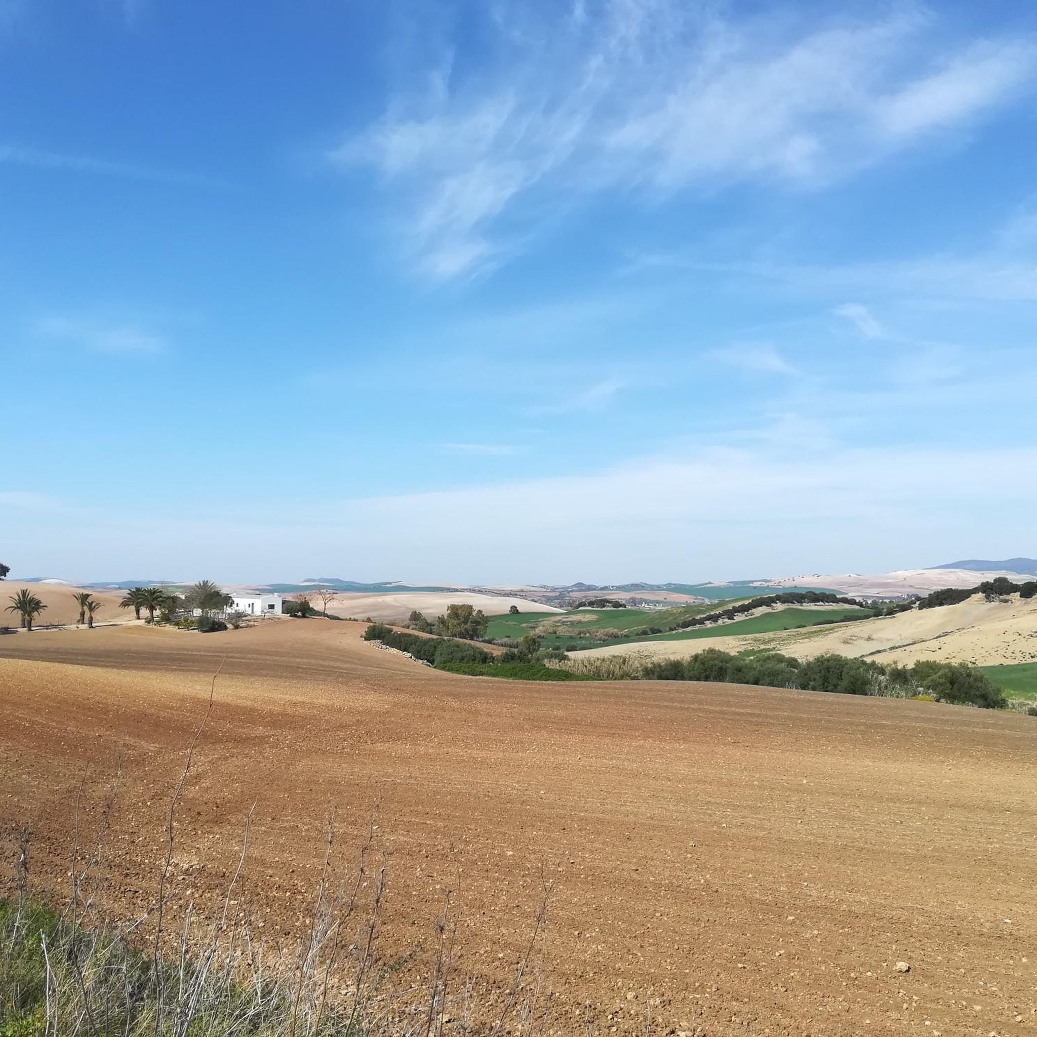
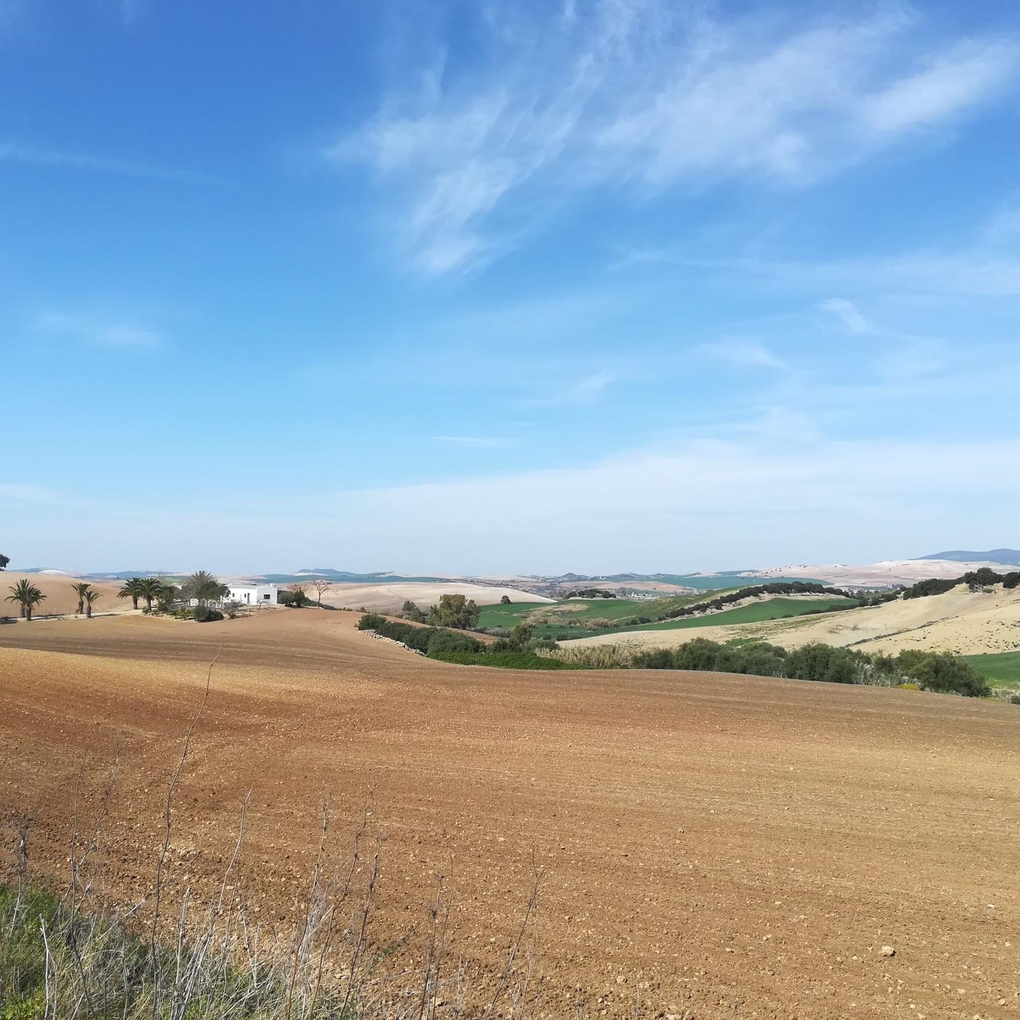
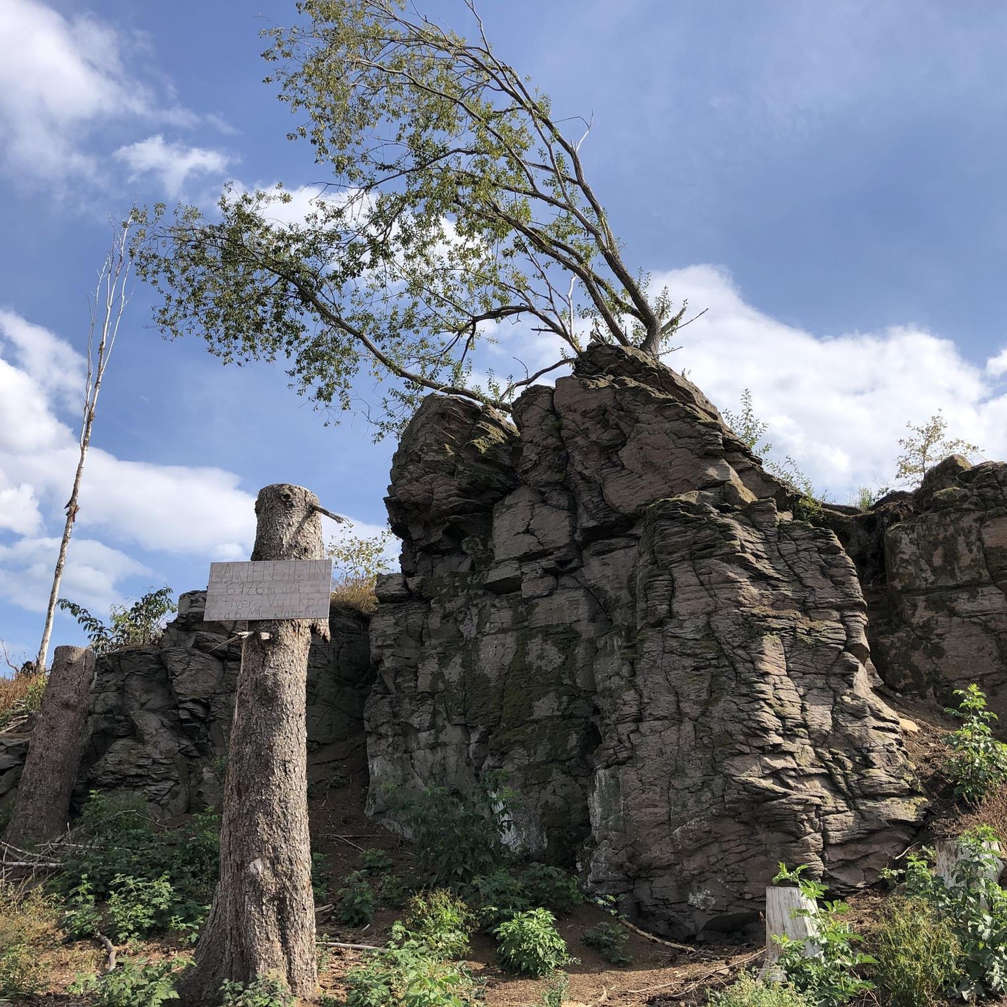
Other adventures around Villamartín

Tips from the Community

Very smooth, wide climb in compact gravel
1
0

The Camino de los Charcones trail is a hiking route located in the Sierra de Grazalema Natural Park, near Grazalema, Cádiz. This trail is ideal for families due to its low difficulty and short distance.
6
0
The Majaceite River Trail is one of the most popular routes in the Sierra de Grazalema Natural Park in Cádiz. This approximately 4.4-kilometre route connects the towns of El Bosque and Benamahoma. It is a low-difficulty trail, ideal for families, and can be completed in about 2 hours. During the walk, you will be accompanied by the Majaceite River, also known as the El Bosque River, and you will be able to observe a beautiful gallery forest with poplars, ash trees and elms. In addition, there are several points of historical interest, such as old mills and the Fábrica de Luz, which provided electricity to the area until 1963.
5
0
Puerto de las Presillas is a very popular trail in the Sierra de Grazalema Natural Park in Andalusia. This route offers stunning views of the Sierra del Endrinal and allows you to observe unique geological formations, such as sharp ridges and hollows, created by the dissolution of limestone rock.
5
0

It is a beautiful trail, we enjoyed it very much, we have done it twice now and I have not planned a third.
1
0

Using the power of moving water to drive a mill wheel is an ancient invention that dates back to pre-Christian times. Thanks to such a construction, human or animal muscle power could be easily replaced by a watercourse - natural or artificially created - in order to grind grain into corn, for example. There are essentially two different ways of driving watermills: Either the water simply hits the blades of the water wheel from below to set it in motion; or the water is guided above the wheel and falls onto the blades; this type of construction is more efficient due to natural gravity.
1
0

This picturesque path connects the town of Grazalema with the Boyar port and reaches the source of the Guadalete river. It is a very nice and quiet route and along it you will find some benches and picnic areas that can be a good place for a break.
1
0
From the path to Puerto de las Presillas you will have these beautiful panoramic views that include the Simancón massif and the well-known Reloj.
1
1
Frequently Asked Questions
How many running routes are available in Villamartín?
There are over 50 running routes around Villamartín, offering a wide variety of options for all skill levels. These include easy loops, moderate trails, and more challenging runs with significant elevation changes.
What kind of terrain can I expect on running trails in Villamartín?
Villamartín's running routes feature diverse terrain. You'll find well-maintained paths around golf courses, offering wide and calm streets amidst lush greenery. Some routes also lead through pine forests, and you're always close to coastal paths and the unique natural environment of the nearby salt lakes, providing varied surfaces and scenic backdrops.
Are there easy running routes suitable for beginners in Villamartín?
Yes, Villamartín offers easy running options perfect for beginners or those looking for a relaxed jog. For instance, the Running loop from Villamartín is a moderate 4.3-mile (6.9 km) trail with gentle elevation changes, making it a great choice to start.
What about more challenging running trails for experienced runners?
For experienced runners seeking a challenge, Villamartín has several difficult routes. The region features trails with greater elevation, such as the Castillo de Matrera – Prado del Rey loop from Prado del Rey, which is 6.8 miles (10.9 km) long with over 300 meters of ascent, providing a demanding workout through varied landscapes.
Can I find circular running routes in Villamartín?
Yes, many of the running routes in Villamartín are circular, allowing you to start and finish at the same point. A popular example is the Running loop from Prado del Rey, a moderate 5.5-mile (8.8 km) path that offers a mix of terrain and green spaces.
Are the running trails in Villamartín dog-friendly?
While specific regulations for dogs on every trail can vary, many natural areas and less crowded paths around Villamartín are generally suitable for running with dogs, especially in the pine forests and open green spaces. Always ensure your dog is on a leash and that you clean up after them.
Are there family-friendly jogging options in Villamartín?
Villamartín's well-maintained golf course paths and some of the flatter, scenic routes are excellent for family-friendly jogging. These areas often provide a safe and pleasant environment for all ages to enjoy a run together, away from heavy traffic.
What landmarks or natural features can I see while jogging in Villamartín?
Jogging in Villamartín offers views of lush golf courses, Mediterranean pine landscapes, and proximity to stunning coastal scenery. You can also explore unique natural features like the nearby salt lakes of Torrevieja, which provide scenic trails. For specific points of interest, consider routes near highlights like the Majaceite River Trail or the Ruins of the Majaceite River Water Mill.
What is the best time of year to go running in Villamartín?
Villamartín boasts an excellent climate for year-round running, with approximately 320 sunny days annually and an average temperature of 20 degrees Celsius. Spring and autumn offer particularly pleasant conditions with mild temperatures. Even in summer, early mornings or late evenings are ideal to avoid the midday heat, and winter provides cool, crisp running weather.
Are there any running routes near the coast or beaches in Villamartín?
While Villamartín is slightly inland, it's just a short drive from beautiful Mediterranean beaches like La Zenia Beach and Playa Flamenca. You can find opportunities for beach running or explore coastal paths such as the Cabo Roig coastal path or the Torrevieja Promenade, which offer breathtaking sea views and smooth surfaces for running.
What do other runners enjoy most about jogging in Villamartín?
The running routes in Villamartín are highly rated by the komoot community, with an average score of 4.0 stars. Runners often praise the diverse landscapes, from serene golf course paths to scenic coastal views and the unique environment of the salt lakes, making for varied and enjoyable runs.
Are there options for long-distance running in Villamartín?
Yes, for those looking for longer distances, Villamartín and its surrounding areas offer extensive routes. The Los Llanos del Berral – Camino de Los Charcones loop from Prado del Rey is a challenging option spanning over 46 miles (74 km) with significant elevation, ideal for ultra-runners or those training for endurance events.
Most popular routes around Villamartín
Most popular attractions around Villamartín

Get inspired with the komoot mobile app


Explore more
Browse the best Running Trails & Routes in other regions.
