The best running trails around El Real De San Vicente
68
runners
12
runs
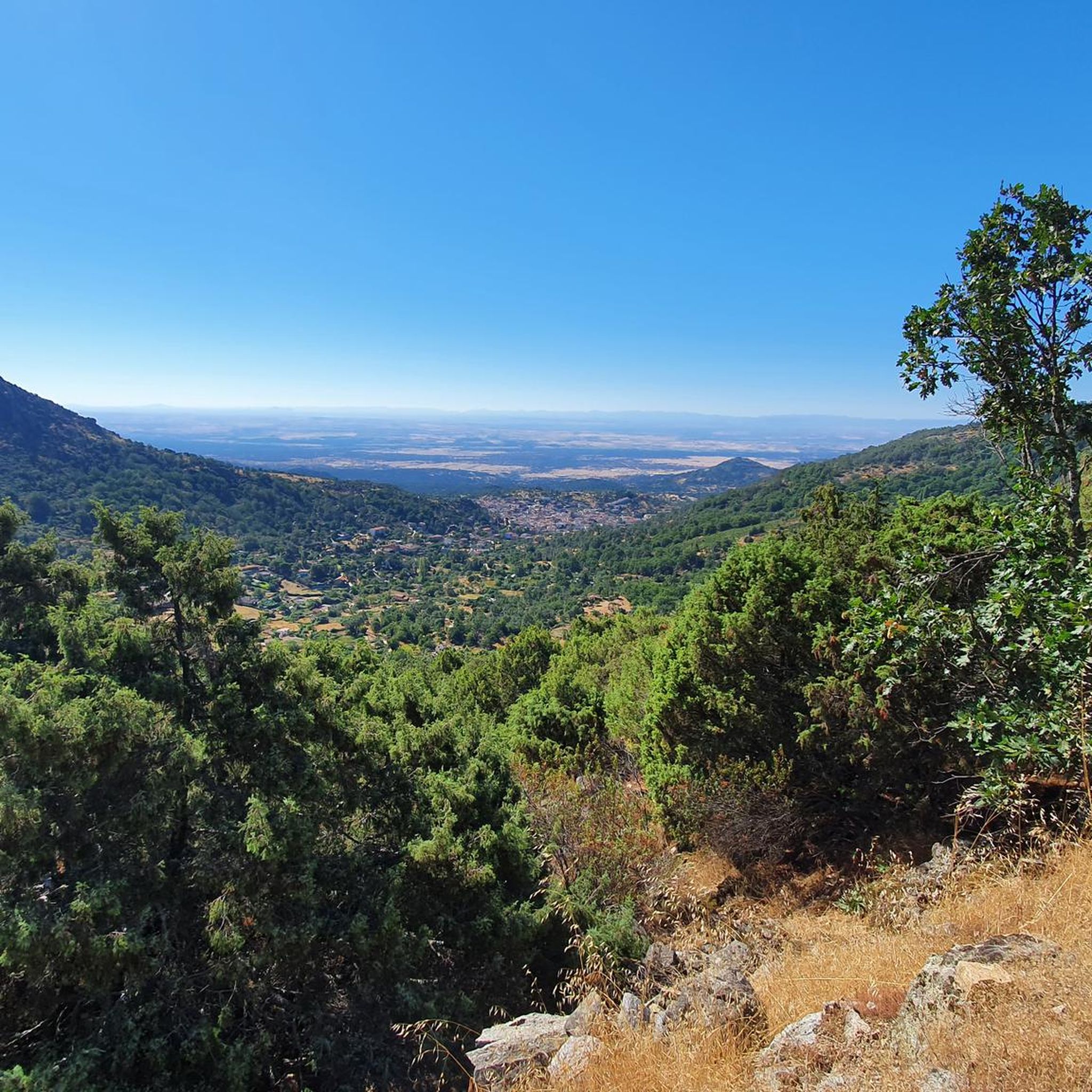
Jogging around El Real De San Vicente offers a diverse landscape within the Sierra de San Vicente mountain range. The region is characterized by extensive hills and forests, including the largest chestnut forest in Castile-La Mancha, providing varied terrain for runners. Elevations around 800 meters above sea level contribute to engaging routes, with higher points like Cerro de San Vicente reaching 1320 meters. This tranquil environment provides a natural setting for outdoor activities.
Best jogging routes around El Real De…
Last updated: July 7, 2026
6
runners
Moderate run. Good fitness required. Mostly paved surfaces. Suitable for all skill levels.
2
runners
10.6km
01:37
580m
580m
Hard run. Very good fitness required. Mostly accessible paths. Some sure footedness required.

Sign up for free
23
runners
19.0km
02:46
870m
870m
Hard run. Very good fitness required. Mostly paved surfaces. Suitable for all skill levels.
13
runners
9.65km
01:17
290m
290m
Moderate run. Good fitness required. Mostly paved surfaces. Suitable for all skill levels.
5
runners
14.9km
02:12
600m
600m
Hard run. Very good fitness required. Mostly paved surfaces. Suitable for all skill levels.
Get access to more routes and recommendations from other explorers.
Sign up for free
Already have an account?
Our route recommendations are based on thousands of hikes, rides, and runs completed by other people on komoot.
Start today with a free account
Your next adventure awaits.
Login or Signup
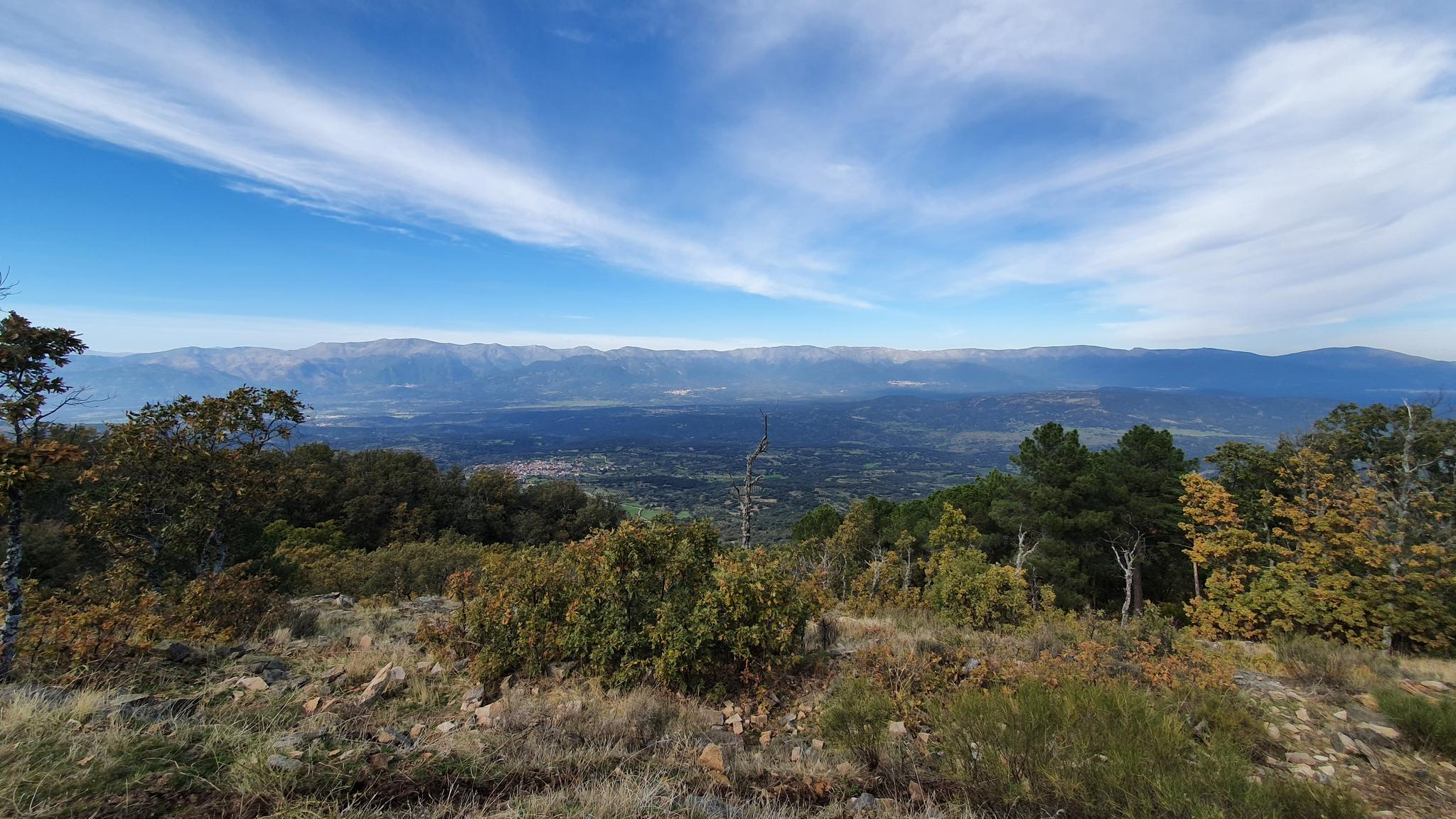
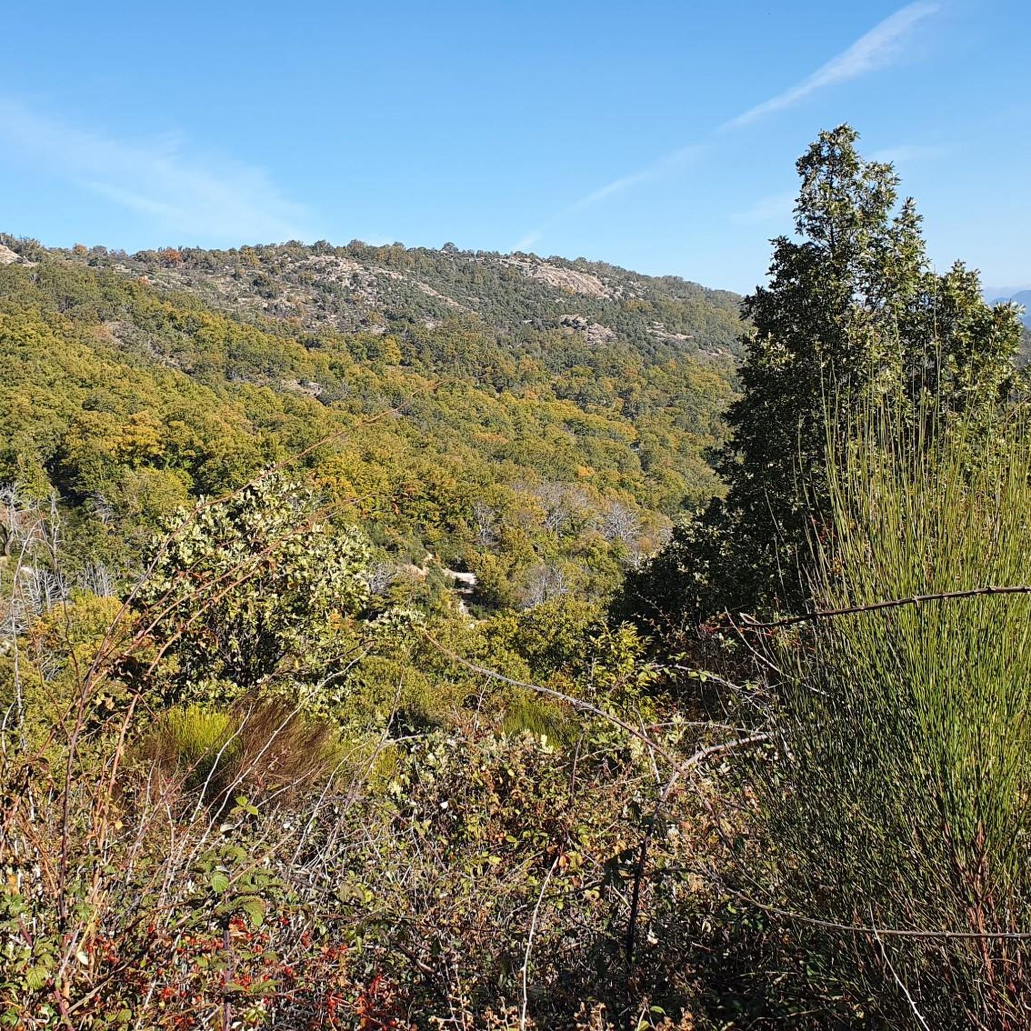
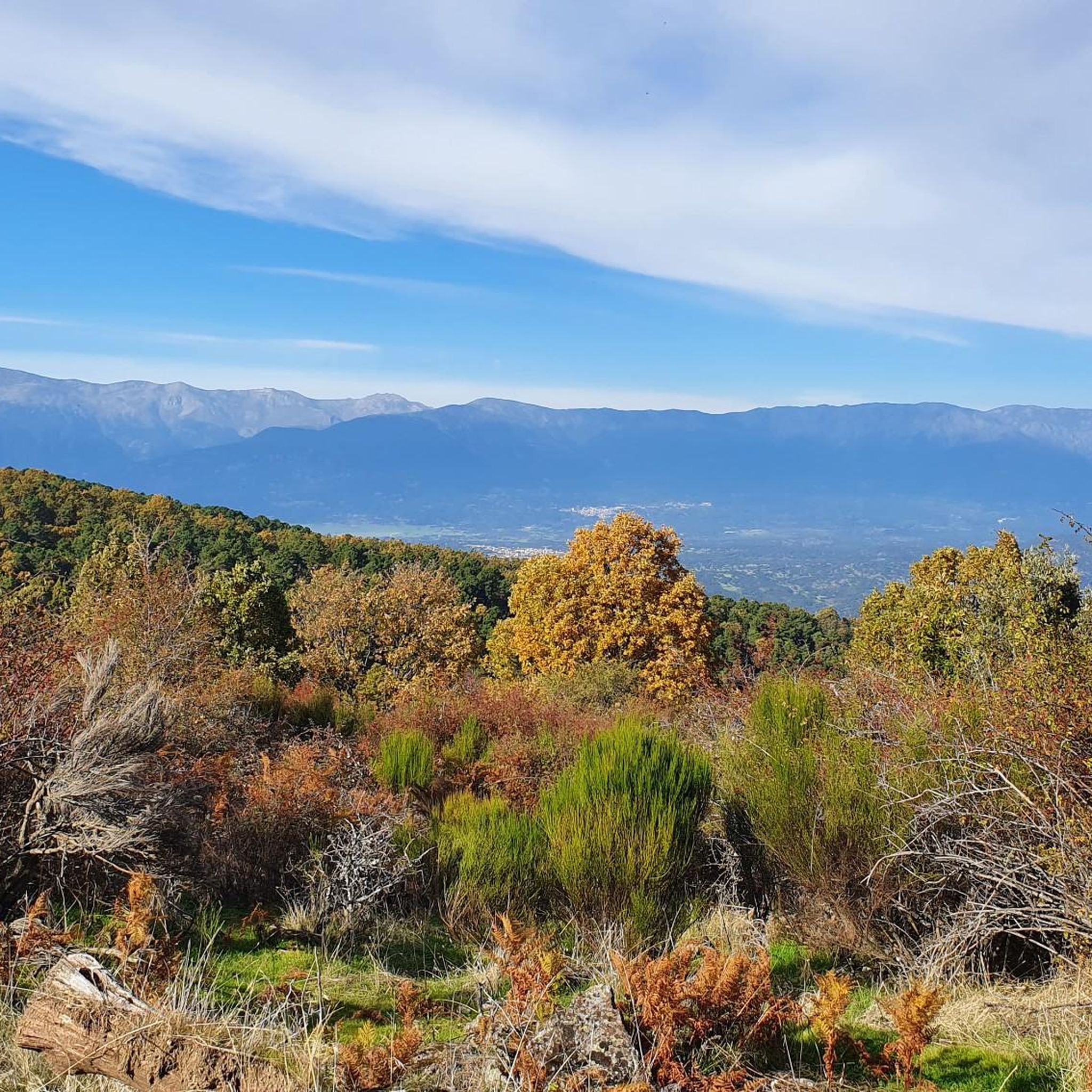
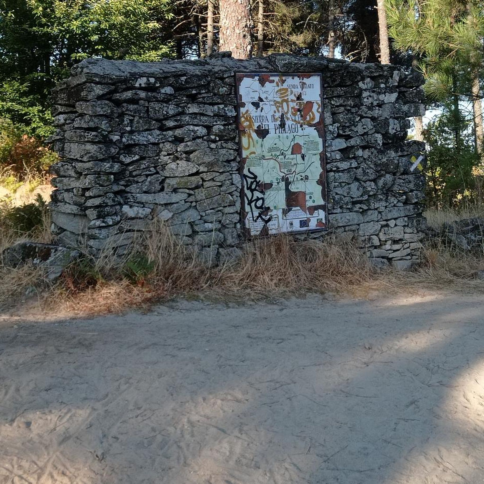
Other adventures around El Real De San Vicente

Tips from the Community

The port of Piélago is located at an altitude of 1,222 meters and is a classic of Toledo cycling. It is located in Real de San Vicente and is a pass between the north and south slopes of the Sierra de San Vicente. Towards the south face there are good views of the Toledo steppe.
0
0

old chapel ruins, from there a view of the castle ruins and an imposing view
1
0


The top of Cruces at 1373 meters above sea level. It is one of the most impressive panoramic points in the Navamorcuende region. It offers beautiful views in all directions, so I recommend you take some time and enjoy the beautiful views while you recharge your batteries after the climb.
1
0
Declared a Site of Cultural Interest, the church in the village of Navamorcuende is a building well worth a visit. Its Renaissance style stands out for its large buttresses, built in the 16th century, and the stone used takes on a distinctive hue on rainy days and in autumn.
2
0
The circular itinerary to the Tiétar river that starts from Iglesuela offers us beautiful views of the town after having traveled the riverbed surrounded by beautiful surroundings.
3
0
The Tiétar River is born in the Sierra de Gredos and flows into the Tagus River after crossing 4 provinces, Madrid, Ávila, Toledo and Cáceres. One of the places to enjoy its waters and the landscape it offers is in its passage through the area of the Iglesuela del Tiétar when going along the path marked out as PR-TO 20.
2
0
The summit of Cruces at 1,373 meters above sea level is one of the most impressive panoramic points in the Navamorcuende region. It offers beautiful views in all directions so I recommend taking some time and enjoying the beautiful views while having a picnic up here to recharge your batteries.
1
0
Frequently Asked Questions
What kind of terrain can I expect on running trails around El Real de San Vicente?
The running trails in El Real de San Vicente offer a diverse landscape within the Sierra de San Vicente mountain range. You'll find extensive hills and forests, including the largest chestnut forest in Castile-La Mancha. Routes vary from moderate forest paths to more challenging mountain ascents, with elevations around 800 meters above sea level and higher points like Cerro de San Vicente reaching 1320 meters.
How many running routes are available in the El Real de San Vicente area?
There are 11 running routes available around El Real de San Vicente, catering to various fitness levels. These include 6 moderate and 5 difficult trails, ensuring options for both casual joggers and experienced trail runners.
Are there any circular running routes in the region?
Yes, several routes are circular. A popular option is the Route of the Tiétar River – circular running from Iglesuela del Tiétar (PR-TO 20), a 10.4 km moderate trail. Another challenging circular option is the San Vicente Hill (1320m) – Puerto del Piélago loop from Navamorcuende, which is 19 km long and features mountainous terrain.
What are some challenging running trails for experienced runners?
For experienced runners seeking a challenge, the PR-TO 21 Cabeza del Oso y Pelados Trail is a difficult 10.6 km path with significant ascents through the prominent hills of Cabeza del Oso and Pelados. Another demanding option is the Running loop from Navamorcuende, a 14.9 km difficult route with substantial elevation gain.
Are there any scenic viewpoints or landmarks along the running routes?
Absolutely! The region offers stunning views. The San Vicente Hill (1320m), the highest point in the vicinity, provides panoramic views of the Toledo area, including the Sierra de Gredos park and Alto Tiétar. You might also encounter the El Piélago Pass and the Puente Mosquea, a historic bridge, on some routes.
What is the best time of year to go running in El Real de San Vicente?
The peaceful environment of El Real de San Vicente makes it ideal for outdoor activities throughout much of the year. The extensive forests, including the largest chestnut forest in Castile-La Mancha, are particularly notable for their delicate 'candelilla' flowers in spring and abundant chestnuts in autumn, offering beautiful seasonal scenery for your runs.
Are there any family-friendly running routes or areas suitable for a relaxed jog?
While many routes offer a challenge, the general peacefulness of El Real de San Vicente provides a calm escape. The quiet streets of the town itself are suitable for a relaxing stroll or jog. For a moderate trail experience, the Route of the Tiétar River – circular running from Iglesuela del Tiétar (PR-TO 20) is a good option for families looking for a longer, less strenuous run.
What do other runners enjoy most about jogging in El Real de San Vicente?
Runners frequently praise the diverse landscape within the Sierra de San Vicente mountain range, highlighting the extensive hills and forests. The tranquil environment and the variety of terrain, from moderate forest paths to challenging mountain ascents, are often cited as key attractions for those seeking to connect with nature while running.
Is there parking available near the trailheads in El Real de San Vicente?
Yes, parking is generally available near the trailheads in and around El Real de San Vicente. Many routes, such as those starting from Navamorcuende, are accessible by car, allowing you to reach the starting points conveniently.
Can I find running routes that pass through unique natural features like chestnut groves?
Absolutely. The region is known for its natural beauty, including the largest chestnut forest in Castile-La Mancha. Specific areas like the Tejea Chestnut Grove are part of the trails, offering beautiful wooded sections to explore during your run.
Are there any routes that offer a different scenic element, such as olive or almond groves?
Yes, if you venture towards nearby towns like Almendral de la Cañada, you can find routes that feature olive and almond groves. These areas provide a different scenic backdrop for longer runs and often include public fountains for a refreshing stop.
Most popular attractions around El Real De San Vicente

Get inspired with the komoot mobile app


Explore more
Browse the best Running Trails & Routes in other regions.
