The best cycling routes around El Real De San Vicente
5.0
(1)
168
riders
32
rides
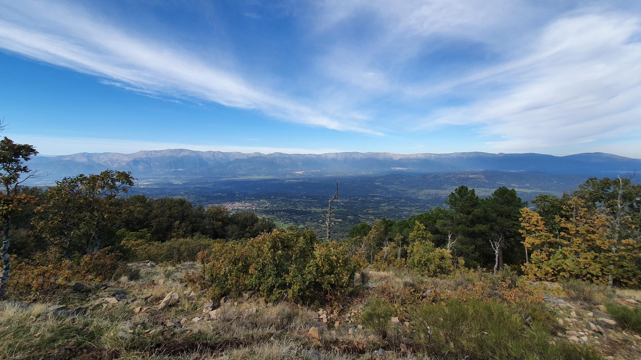
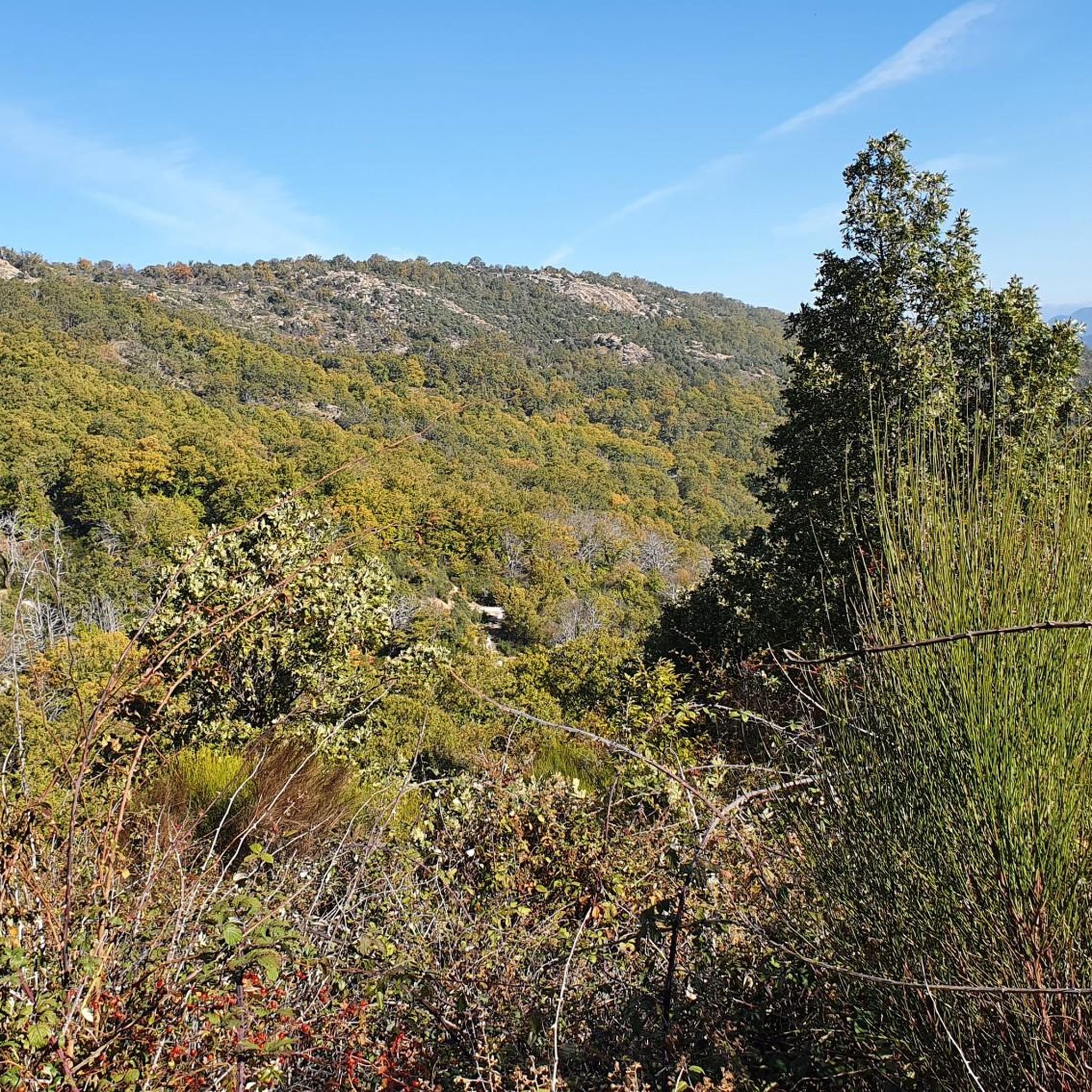
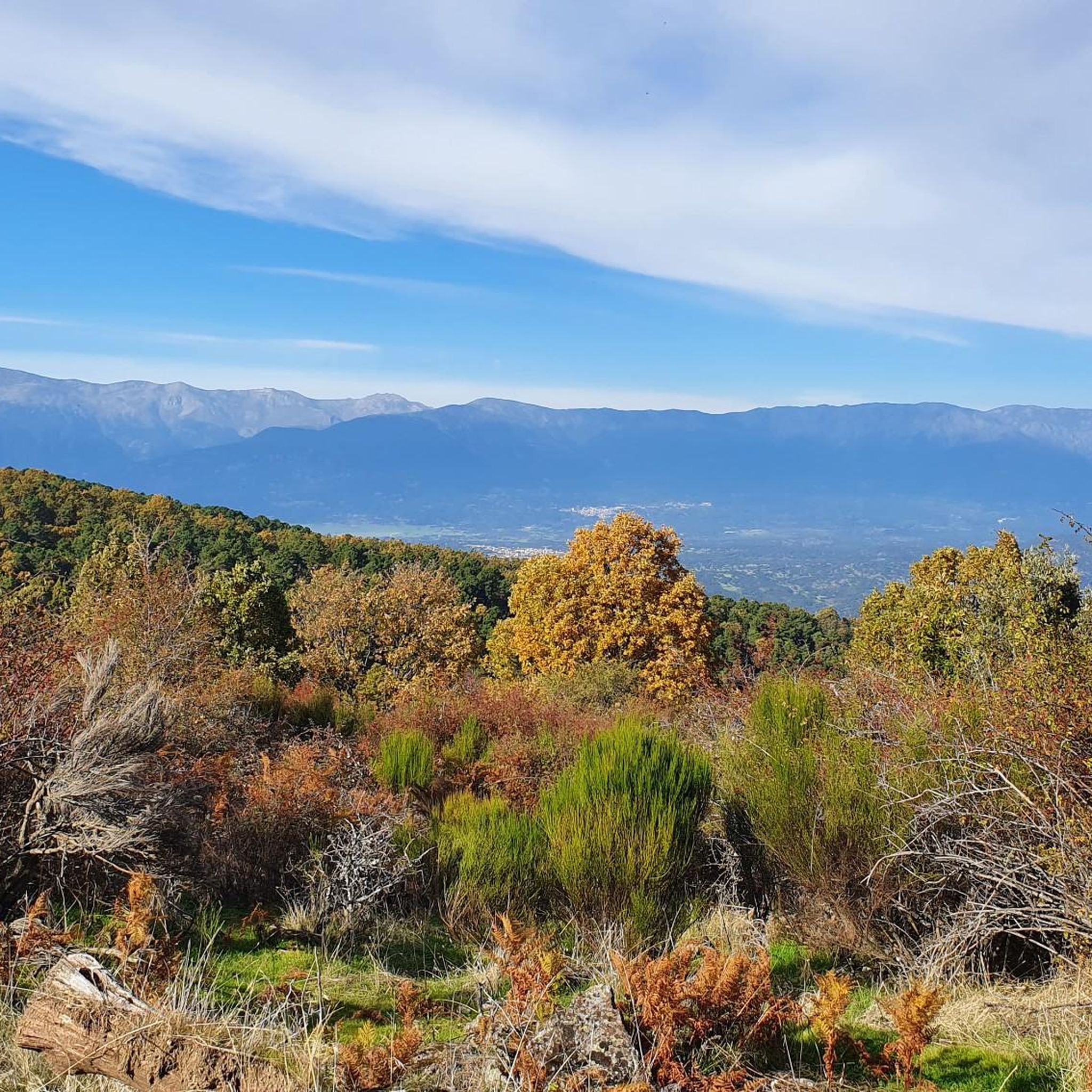
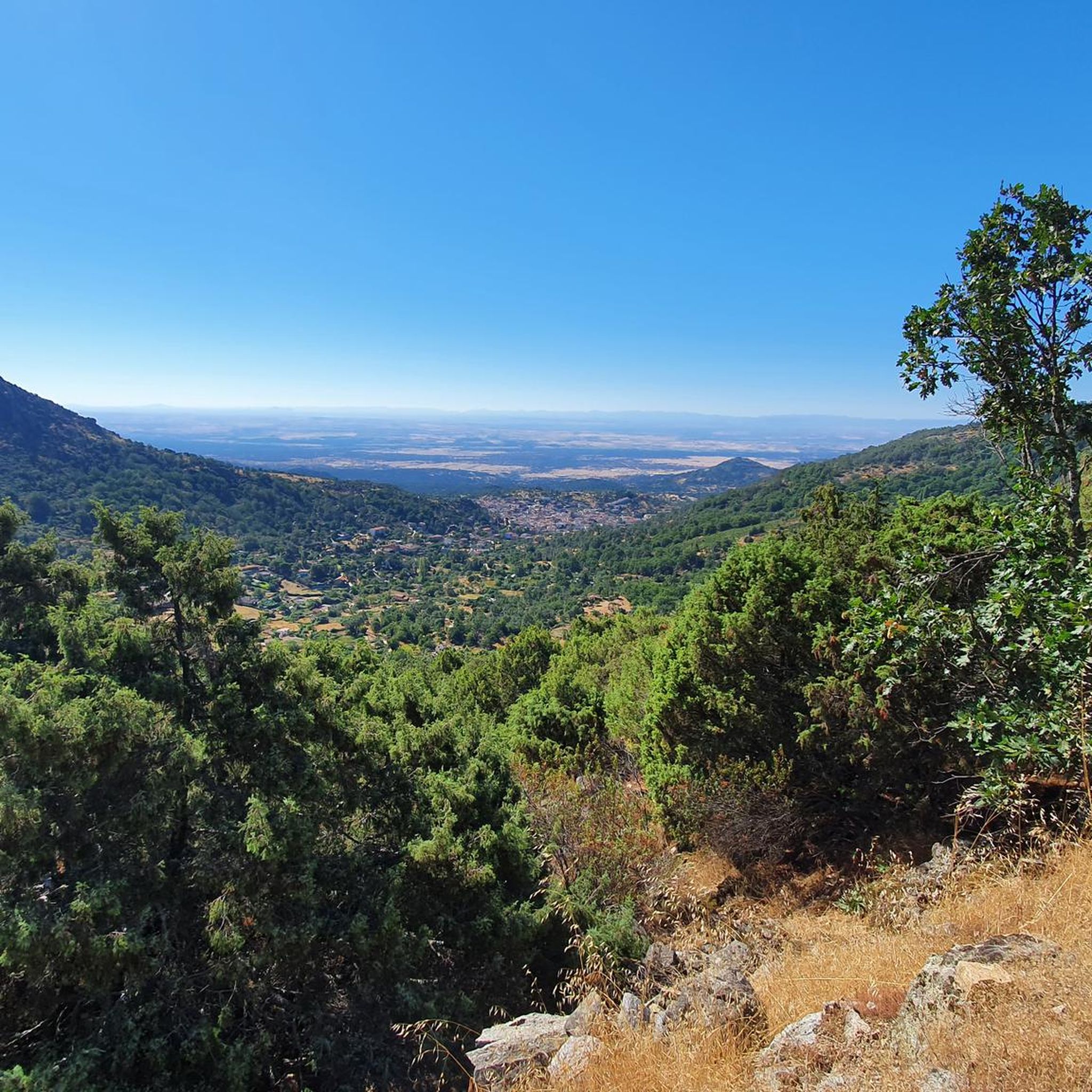
Touring cycling around El Real De San Vicente offers routes through a landscape characterized by rolling hills, dense woodlands, and river valleys. The region features significant elevation changes, providing challenging climbs and rewarding descents for cyclists. Reservoirs and historical points of interest are often encountered along the paths. The terrain is predominantly natural, with a mix of paved and unpaved sections suitable for touring bikes.
Best touring cycling routes around El Real De San Vicente
- The most popular touring cycling…
Last updated: July 2, 2026
63.8km
04:41
1,050m
1,060m
Cycle the difficult 39.7-mile Senda de Viriato and Cordel de Merinas Loop through diverse landscapes in Sierra de San Vicente.
5.0
(1)
24
riders
66.4km
04:37
1,210m
1,210m
Hard bike ride. Very good fitness required. Mostly paved surfaces. Suitable for all skill levels.

Sign up for free
15
riders
48.9km
04:31
1,000m
1,000m
Hard bike ride. Very good fitness required. You may need to push your bike for some segments of this route.
14
riders
Hard bike ride. Very good fitness required. You may need to push your bike for some segments of this route.
8
riders
60.1km
05:17
860m
860m
Hard bike ride. Very good fitness required. You may need to push your bike for some segments of this route.
Get access to more routes and recommendations from other explorers.
Sign up for free
Already have an account?
Our route recommendations are based on thousands of hikes, rides, and runs completed by other people on komoot.
Start today with a free account
Your next adventure awaits.
Login or Signup
Other adventures around El Real De San Vicente

Tips from the Community

As you pass through the Toledo pastureland, south of the San Vicente mountain range, you pass by numerous cattle ranches surrounded by stones. A setting that could be the very definition of bucolic.
0
0
This section of forest trail is shared between the Viriato Trail and the Las Merinas Trail. The path runs through a privileged natural setting where you can enjoy native flora and fauna.
0
0
Surrounding Real de San Vicente lies a magnificent pastureland where you can enjoy the holm oaks, oak trees, and other vegetation. If you walk quietly, you might be lucky enough to spot roe deer, foxes, deer, and other native fauna.
0
0
El Real de San Vicente is located at the foot of the mountain range from which it takes its name, in a prime setting for outdoor activities. Its location is associated with military settlements in the 11th and 12th centuries. Remains of its millennia-long occupation are preserved in the village.
0
0
At the foot of the San Vicente mountain range lies San Román de los Montes, a town whose historical importance is evident in the impressive 16th-century Roll of Justice, crowned with four dog heads, found in its historic center.
0
0

La Portiña is a small reservoir located north of Talavera de la Reina on the Portiña stream and next to the natural surroundings of the Berrocal mountain range.
1
0

It's worth seeing, especially in spring, when the stream is usually full of water and there's a small waterfall.
0
1
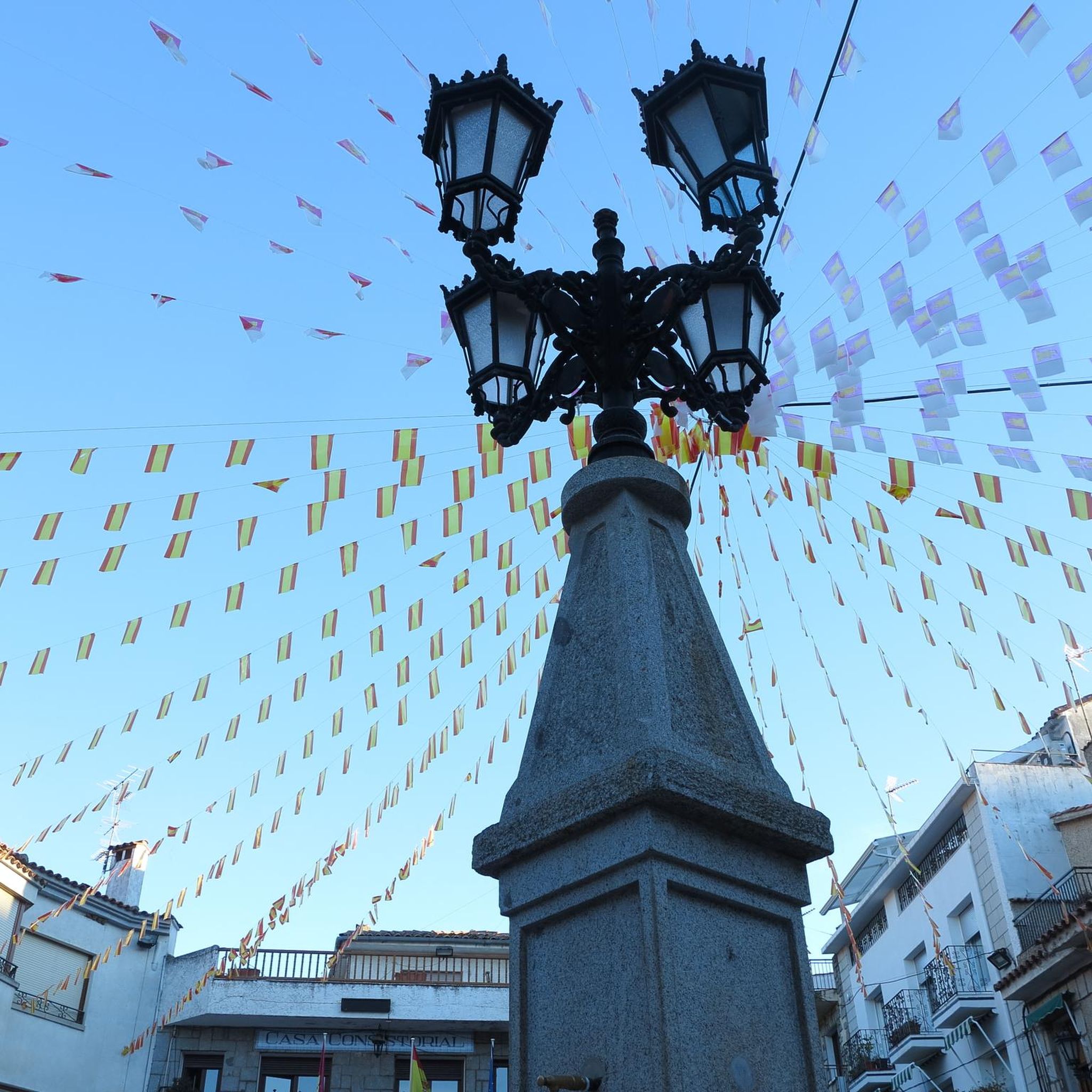
The place name Pelahustán seems to derive from the activity related to looms and the sale of linen that the population had in the past. In documents from the 18th century, it appears as Pelafustan. According to the dictionary of the Royal Spanish Academy, the concept of pelafustán is equated with that of pelagatos, which in turn means “insignificant or mediocre person, without social or economic position.” The town also had several water mills worked by Salamancan teleworkers. Pelahustán is located at an altitude of 673 meters above sea level and borders the terms of Higuera de las Dueñas in the province of Ávila, Nombela, Nuño Gómez, Garciotum and El Real de San Vicente in the province of Toledo, and Ceniientos in the Community of Madrid 😊
2
0
Frequently Asked Questions
How many touring cycling routes are available in El Real De San Vicente?
There are over 30 touring cycling routes around El Real De San Vicente, offering diverse experiences through the region's varied landscape.
Are there any easy or family-friendly touring cycling routes in the area?
While many routes feature significant elevation changes, there are a few options suitable for beginners or families. The region offers 1 easy and 3 moderate touring cycling routes, which navigate through rolling hills and woodlands, often on a mix of paved and unpaved sections.
What kind of terrain should I expect on touring cycling routes around El Real De San Vicente?
The terrain is characterized by rolling hills, dense woodlands, and river valleys. You can expect significant elevation changes, providing challenging climbs and rewarding descents. Paths are predominantly natural, with a mix of paved and unpaved sections.
Are there any circular touring cycling routes in El Real De San Vicente?
Yes, many routes are designed as loops, allowing you to start and finish in the same location. For example, the Senda de Viriato and Cordel de Merinas Loop is a popular circular option, covering nearly 40 miles.
What are some notable landmarks or attractions I might see along the cycling routes?
You'll encounter various points of interest. Highlights include the historic Puente Mosquea, the scenic El Piélago Pass, and the charming Main Square of Pelahustán. Reservoirs and historical sites are also common features.
What is the best time of year for touring cycling in El Real De San Vicente?
The region is generally pleasant for cycling during spring and autumn when temperatures are milder. Summer can be quite warm, especially at midday, while winter might bring cooler temperatures and occasional rain. Always check the local weather forecast before heading out.
Are there any routes that offer scenic views of reservoirs?
Yes, several routes feature scenic reservoir views. The La Portiña Reservoir – Water Spout loop from Castillo de Bayuela is a great option for enjoying these picturesque waterscapes.
What should I wear for touring cycling in this region?
Given the significant elevation changes and varied terrain, layered clothing is recommended. Breathable, moisture-wicking fabrics are ideal. Don't forget a helmet, gloves, and appropriate footwear. Sun protection is also crucial, especially during sunnier months.
What do other touring cyclists say about the routes in El Real De San Vicente?
The routes in El Real De San Vicente are highly rated by the komoot community, with an average score of 5.0 stars. Cyclists often praise the challenging ascents, forested sections, and rewarding scenic views.
Are there any advanced touring cycling routes for experienced riders?
Absolutely. The region is known for its challenging routes, with 28 classified as difficult. Routes like Puerto del Piélago – Santa María de la Nava loop from Garciotum offer substantial climbs and descents through varied natural scenery, perfect for experienced touring cyclists.
Where can I find parking near the touring cycling routes?
Many routes start from villages or towns such as Pelahustán or Castillo de Bayuela, where you can typically find public parking. It's advisable to check specific starting points for available parking facilities before your trip.
What is the typical duration for a touring cycling route in this area?
Route durations vary significantly based on distance and elevation. For example, the Puente de los Molinos – Main Square of Pelahustán loop from Pelahustán, which is about 30 miles, typically takes around 4 hours and 30 minutes to complete.
Most popular attractions around El Real De San Vicente

Get inspired with the komoot mobile app


Explore more
Browse the best Cycling routes in other regions.
