The best cycling routes around La Granada De Río-Tinto
4.5
(5)
137
riders
21
rides
Touring cycling routes around La Granada De Río-Tinto traverse a landscape shaped by the Río Tinto mining district, featuring low-rise hills and a distinctive reddish river. The area is characterized by pine and eucalyptus forests, alongside a preserved Mediterranean dehesa ecosystem with holm and cork oaks. This region borders the Sierra de Aracena, offering varied terrain for cycling.
Best touring cycling routes around La Granada De Río-Tinto
- The most popular touring cycling route is Minas y Nacimiento del Río Tinto…
Last updated: June 29, 2026
3.0
(1)
14
riders
39.7km
03:33
610m
610m
Hard bike ride. Very good fitness required. Mostly paved surfaces. Suitable for all skill levels.
1
riders
52.7km
04:00
920m
920m
Hard bike ride. Very good fitness required. Mostly paved surfaces. Suitable for all skill levels.

Sign up for free
66.8km
04:32
1,180m
1,180m
Hard bike ride. Very good fitness required. Mostly paved surfaces. Suitable for all skill levels.
1
riders
34.6km
02:34
680m
690m
Hard bike ride. Very good fitness required. Mostly paved surfaces. Suitable for all skill levels.
19
riders
45.9km
04:00
760m
760m
Hard bike ride. Very good fitness required. Mostly paved surfaces. Suitable for all skill levels.
Get access to more routes and recommendations from other explorers.
Sign up for free
Already have an account?
Our route recommendations are based on thousands of hikes, rides, and runs completed by other people on komoot.
Start today with a free account
Your next adventure awaits.
Login or Signup
Tips from the Community

The source of the Tinto River is located in the municipality of Nerva, in the province of Huelva, Andalusia, and is one of the most unique landscapes in Europe due to its reddish color and its scientific and geological value.
1
0
Higuera de la Sierra is an excellent option to enjoy nature and culture in the province of Huelva. This charming municipality is located in the Sierra de Huelva region and is part of the Sierra de Aracena and Picos de Aroche Natural Park. Don't miss the Church of San Sebastián, an 18th-century building listed as a Site of Cultural Interest. You can also visit the Hermitage of San Antonio and the Chapel of Cristo del Rosario.
5
0

To get to the viewpoint, paid access is required. The hiking trail ends here at a fence. Nevertheless, a somewhat limited view of the opencast mine is possible
2
0

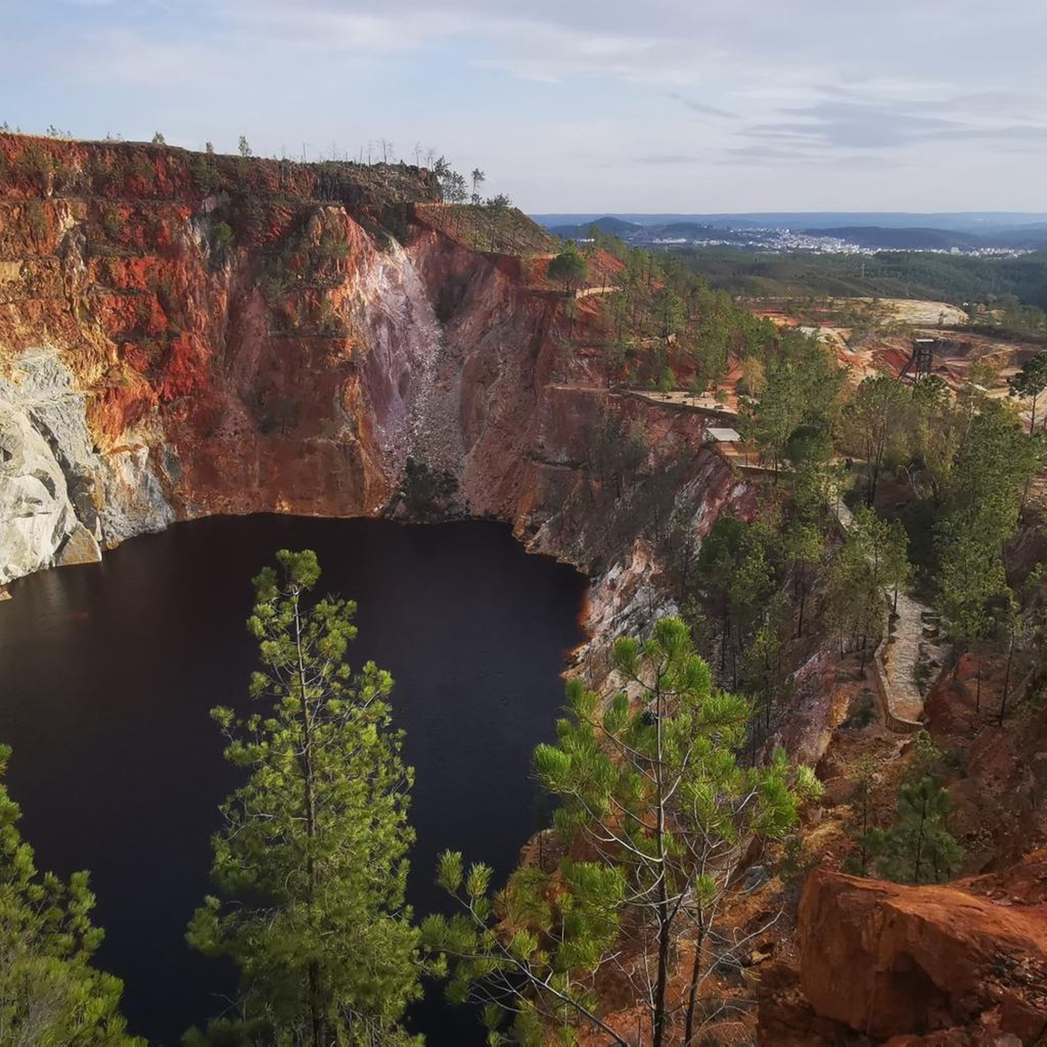
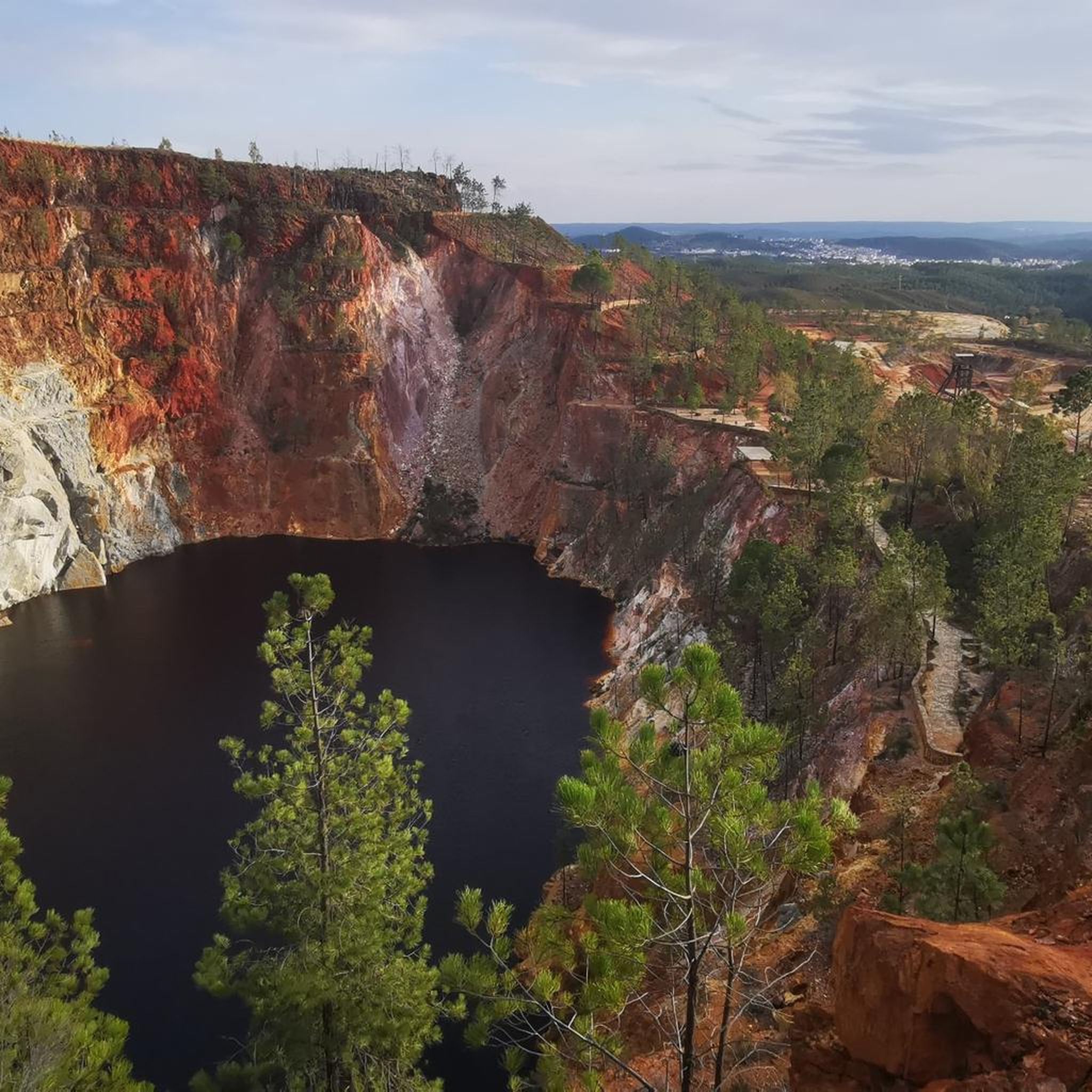
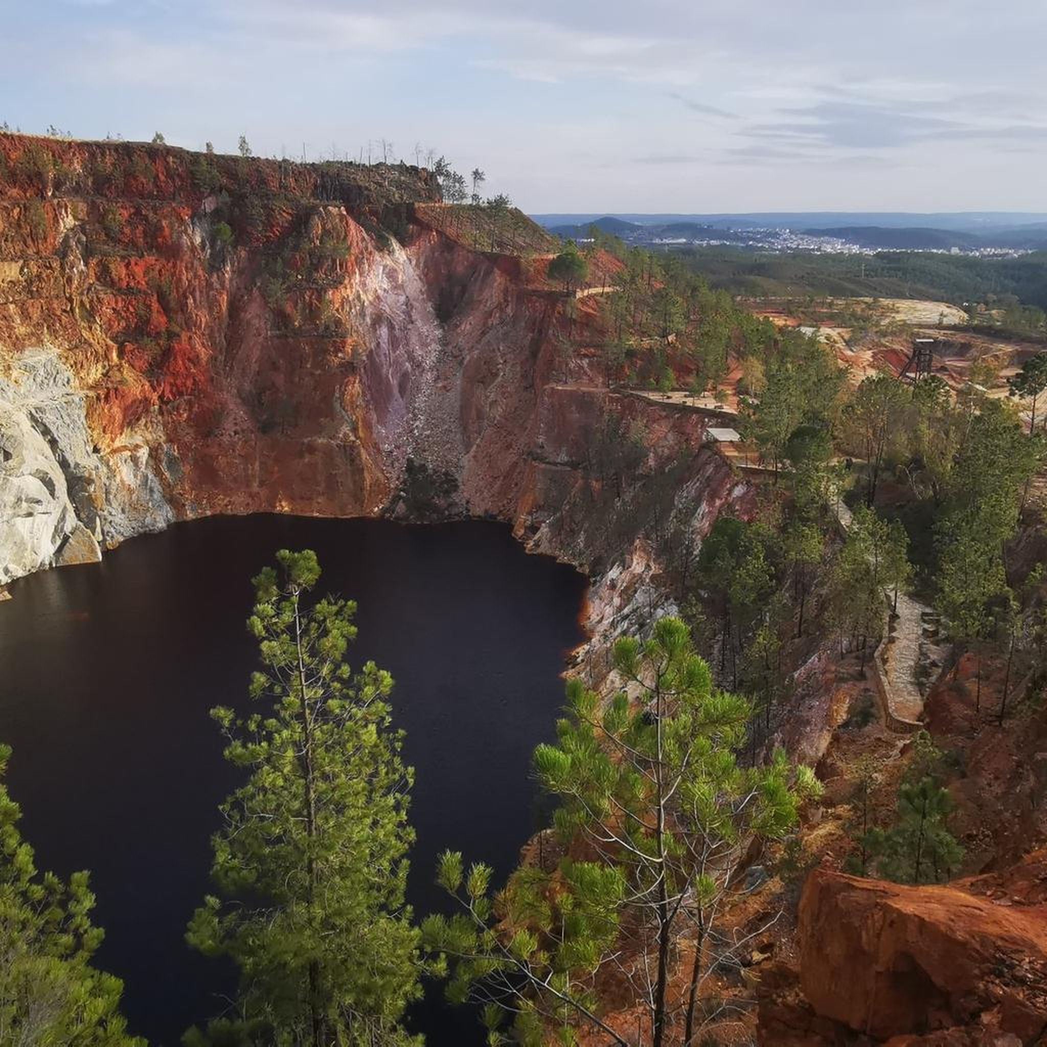
Cerro Colorao Mine Viewpoint, a viewpoint located above the road with privileged views of this large open pit mine. The landscape is impressive and seeing the trucks that look like toys, you can feel truly small in front of this work. It is the only mine currently active. The site has shade and has an explanatory sign.
1
0
Road that crosses the Gossán reservoir allows you to enjoy this almost Martian landscape. The reddish color of the water is due to the iron content, due to the proximity of old mineral mines. You can even taste iron in the air. Truly futuristic landscapes.
1
0

Also known as the Padre Caro mountain range, it indicates the source of the Río Tinto which runs through the interior of Huelva for about 100 km until it reaches the Odiel River. Its name is due to the reddish color of its waters, caused by the weathering of minerals with a high content of heavy metal sulfides that were found and exploited in various deposits along the riverbed.
0
0

Obligatory stopping point if you take the road. There are incredible views even of the Rio Tinto mining railway.
0
0

Higuera de la Sierra is a town in the province of Huelva (Andalusia), which belongs to the region of Sierra de Huelva. It is very interesting to see the cavalcade of kings on the night of the fifth of January, the second oldest in Spain and the pride of the people of Figueres, who work hard all year to make a night of excitement
0
1
Frequently Asked Questions
How many touring cycling routes are available around La Granada De Río-Tinto?
There are over 20 touring cycling routes available around La Granada De Río-Tinto, catering to various skill levels. You'll find options ranging from easy to difficult, with the majority being more challenging.
What kind of terrain can I expect on touring cycling routes in this region?
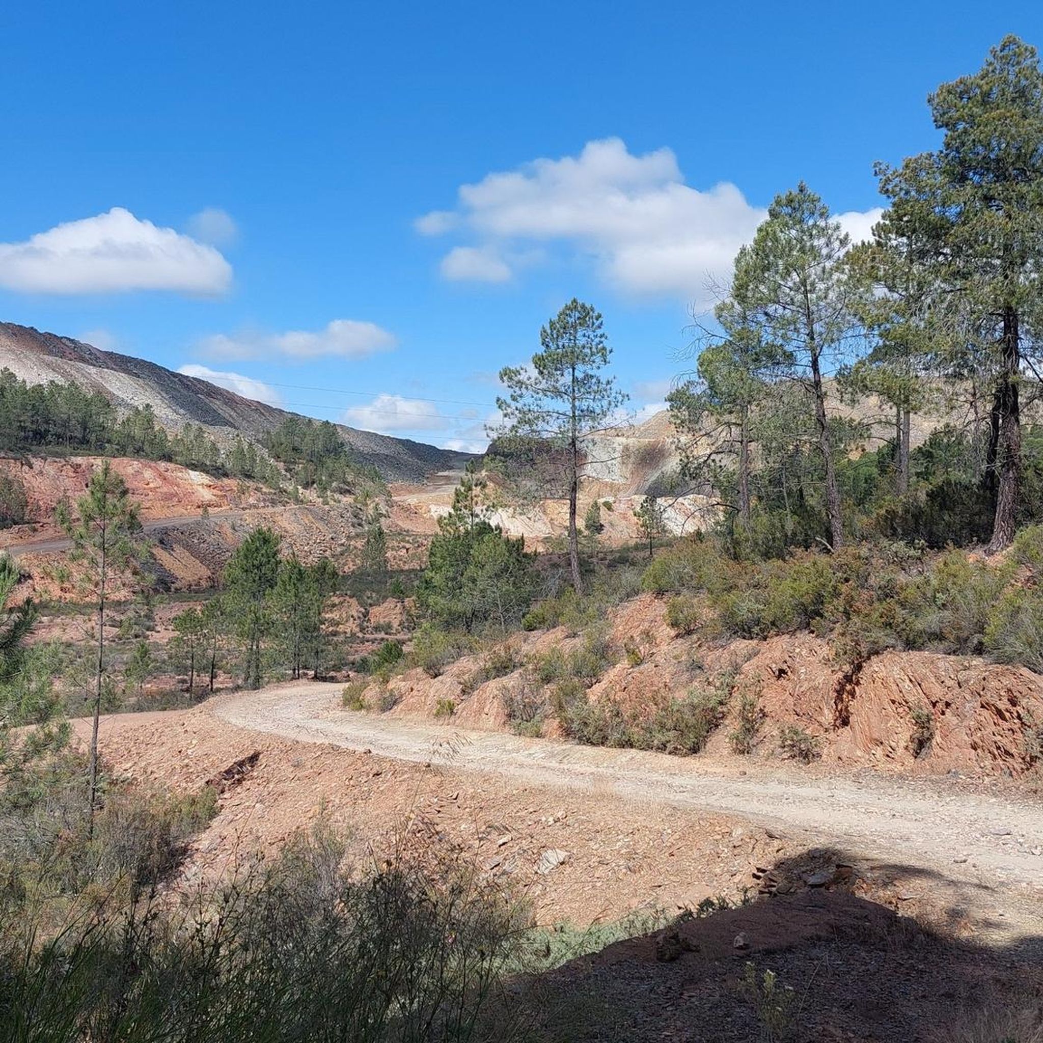
The terrain around La Granada De Río-Tinto is characterized by low-rise hills and a distinctive reddish landscape due to the Río Tinto mining district. You'll cycle through pine and eucalyptus forests, as well as preserved Mediterranean dehesa ecosystems with holm and cork oaks. The routes offer varied surfaces, from well-paved roads to some unpaved segments, especially as you approach the Sierra de Aracena.
Are there any easy touring cycling routes suitable for beginners?
While many routes in the area are rated as difficult, there is at least one easy touring cycling route available. For those seeking a less strenuous ride, look for routes with minimal elevation gain and shorter distances.
What are some challenging touring cycling routes in the area?
For experienced cyclists looking for a challenge, routes like the Nerva, Campofrío, and La Granada de Río-Tinto Loop offer significant elevation gains and longer distances. Another demanding option is the Vereda de Sevilla loop from Higuera de la Sierra, which covers over 45 km with substantial climbing.
What natural features or landmarks can I see along the cycling routes?
The region is rich in unique natural and historical sites. You can explore the striking reddish waters of the Source of the Río Tinto, or visit the impressive Grotto of the Marvels. Other notable landmarks include the Corta Atalaya Mine and the scenic Gossán Reservoir. Many routes, such as Embalse de Gossán y Minas de Riotinto — circular desde Nerva, pass by these points of interest.
Are there any circular touring cycling routes available?
Yes, many touring cycling routes in the area are circular, allowing you to start and end at the same point. Examples include Minas y Nacimiento del Río Tinto — circular desde Nerva and the Riotinto Mining Basin Loop, which are popular choices among local cyclists.
What is the best time of year to go touring cycling in La Granada De Río-Tinto?
The Mediterranean climate of Huelva generally offers pleasant conditions for cycling outside of the peak summer months. Spring (March to May) and autumn (September to November) typically provide milder temperatures and less rainfall, making them ideal for touring cycling. Summers can be very hot, and winters can be cooler and wetter.
What do other touring cyclists enjoy most about cycling in La Granada De Río-Tinto?
The area is highly rated by the komoot community, with an average score of 4.3 stars from over 4 reviews. Cyclists often praise the unique, mineral-rich landscapes of the mining basin, the extensive pine and eucalyptus forests, and the varied terrain that offers both scenic beauty and challenging climbs.
Is public transport available to access cycling routes in La Granada De Río-Tinto?
Public transport options to La Granada De Río-Tinto and surrounding areas exist, though they might be limited. It's advisable to check local bus schedules in advance, especially if you plan to bring your bicycle, as policies for carrying bikes can vary. Some routes may be more easily accessible by car, particularly those starting from smaller villages.
Are there any specific permits required for cycling in the Sierra de Aracena Natural Park?
While general access to public paths in the Sierra de Aracena Natural Park is usually open, it's always good practice to check for any specific regulations or permits required for certain areas or activities, especially for larger groups or organized events. Information can typically be found on the official regional park authority websites.
Are there any family-friendly cycling options in the region?
While many routes are rated as difficult, families looking for easier rides might find suitable sections on less challenging paths or explore the potential of the Vía Verde de Riotinto, which often provides flatter, traffic-free surfaces. Always check the route's difficulty and terrain before setting out with children.
Can I bring my dog on the cycling routes?
Many natural trails and paths in the region are generally dog-friendly, especially if your dog is accustomed to cycling alongside you and remains under control. However, specific rules may apply in protected areas or on certain dedicated routes like the Vía Verde de Riotinto. Always ensure your dog is leashed where required and that you carry waste bags.
Most popular routes around La Granada De Río-Tinto
Most popular attractions around La Granada De Río-Tinto

Get inspired with the komoot mobile app


Explore more
Browse the best Cycling routes in other regions.
