The best running trails around Nuño Gómez
18
runners
2
runs
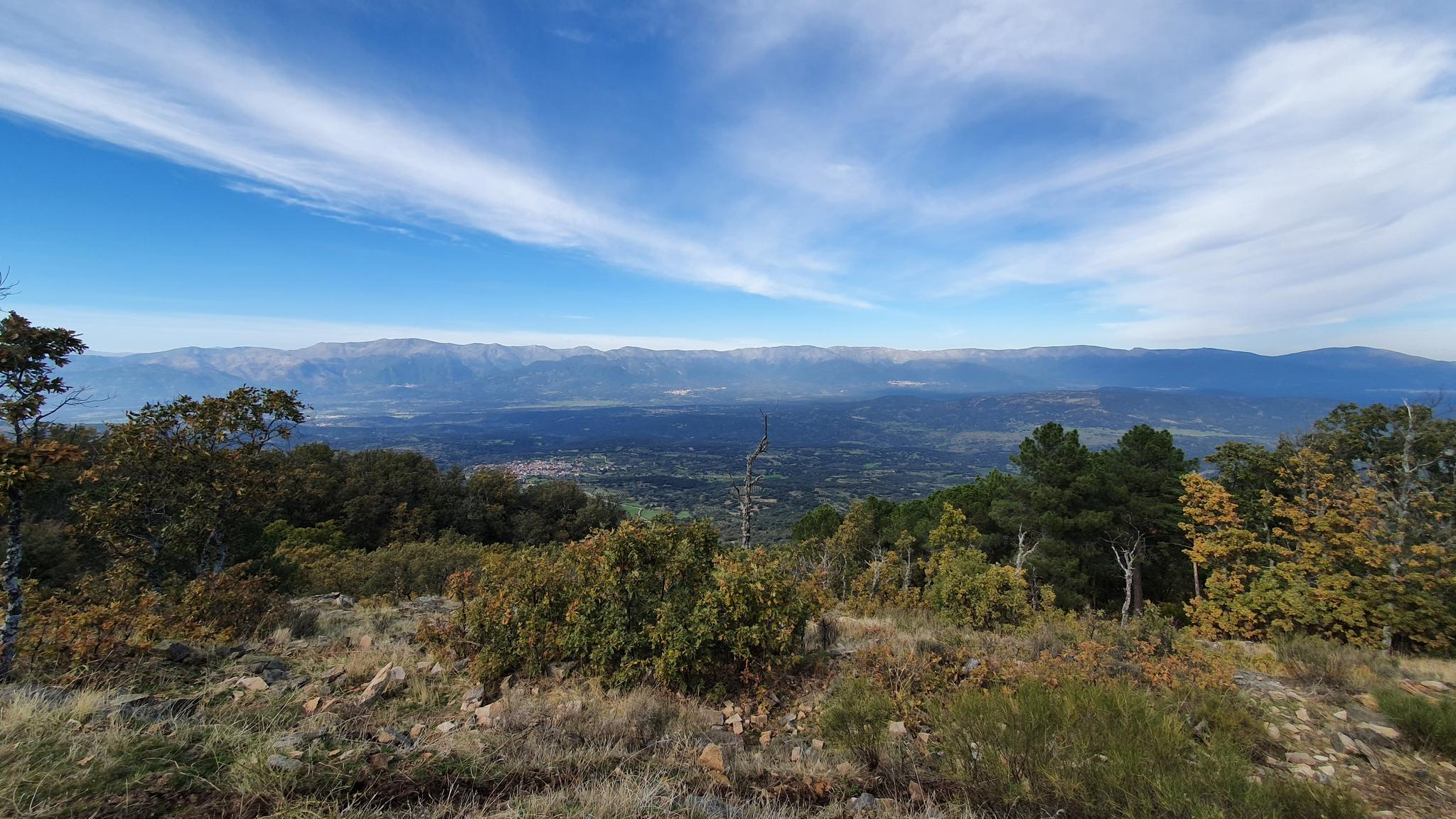
Jogging around Nuño Gómez offers routes through the Sierra de San Vicente, characterized by its hilly terrain and natural features. The region's landscape includes elevated areas like San Vicente Hill, providing varied gradients for runners. Trails often traverse forested sections and open areas, with some routes featuring significant elevation changes. This environment provides a diverse setting for outdoor running activities.
Best jogging routes around Nuño Gómez
- The most popular jogging route is PR-TO 21 Cabeza del Oso y Pelados Trail…
Last updated: June 28, 2026
2
runners
10.6km
01:37
580m
580m
This difficult 6.6-mile (10.6 km) jogging trail in Sierra de San Vicente offers challenging climbs and panoramic views.
5
runners
Moderate run. Good fitness required. Mostly paved surfaces. Suitable for all skill levels.

Sign up for free
5
runners
Hard run. Very good fitness required. Mostly paved surfaces. Suitable for all skill levels.
3
runners
13.2km
01:32
90m
90m
Moderate run. Good fitness required. Mostly paved surfaces. Suitable for all skill levels.
2
runners
7.37km
01:02
260m
260m
Moderate run. Good fitness required. Mostly paved surfaces. Suitable for all skill levels.
Our route recommendations are based on thousands of hikes, rides, and runs completed by other people on komoot.
Start today with a free account
Your next adventure awaits.
Login or Signup
Other adventures around Nuño Gómez

Tips from the Community

El Real de San Vicente is located at the foot of the mountain range from which it takes its name, in a prime setting for outdoor activities. Its location is associated with military settlements in the 11th and 12th centuries. Remains of its millennia-long occupation are preserved in the village.
0
0

The Mosquea Bridge is located in La Adrada, Ávila, and is part of the Medieval Bridges Route that crosses the Tiétar River. It's an ideal place to enjoy a peaceful walk surrounded by nature, with views of beautiful holm oaks, pines, and junipers. The route is easy to walk and suitable for almost everyone.
5
0


The Mosquea Bridge is a bridge of Roman origin over the Tiétar River. It stands out for its age and beauty, and is also one of the largest in the municipality of La Adrada. It is located on the important Mesta ravine.
3
0
The port of Piélago is located at an altitude of 1,222 meters and is a classic of Toledo cycling. It is located in Real de San Vicente and is a pass between the north and south slopes of the Sierra de San Vicente. Towards the south face there are good views of the Toledo steppe.
0
0

Close to the Puente Chico is the Puente Mosquea and where both are located in the Vall del Tiétar, an area of crops and forests to the south of the Sierra de Gredos. It is worth deviating from the path to cross this magnificent bridge of Romanesque origin.
1
0
Romanesque bridge that jumps over the Río Tiétar in the same valley that has the same name. It is a bridge known by the inhabitants of the neighboring towns!
1
0

old chapel ruins, from there a view of the castle ruins and an imposing view
1
0
Frequently Asked Questions
What kind of terrain can I expect on running routes around Nuño Gómez?
Running routes around Nuño Gómez are primarily characterized by hilly terrain within the Sierra de San Vicente. You'll encounter varied gradients, including elevated areas like San Vicente Hill, and paths that traverse both forested sections and open landscapes. Expect a diverse and often challenging environment for your runs.
Are there any easy running routes for beginners in Nuño Gómez?
The routes listed for Nuño Gómez tend to be on the more challenging side, with options ranging from moderate to difficult. Currently, there are no routes specifically categorized as 'easy' in the guide. The region's hilly landscape means most trails will offer a significant workout.
What are some notable natural features or landmarks I might see while running in the area?
While running around Nuño Gómez, you'll be in the Sierra de San Vicente, offering views of natural features like Cabeza del Oso and San Vicente Hill. You might also encounter highlights such as San Vicente Hill (1320m) itself, or pass through areas near El Piélago Pass, providing scenic vistas.
Are the running trails around Nuño Gómez suitable for families?
Given the predominantly hilly and challenging terrain, many of the routes around Nuño Gómez might be more suitable for experienced runners or families with older children accustomed to strenuous activity. For example, the Puerto del Piélago – San Vicente Hill (1320m) loop is a moderate path with a challenging climb.
Can I bring my dog on the running trails in Nuño Gómez?
While specific regulations for dogs on trails in the Sierra de San Vicente are not detailed, generally, national forest areas like those surrounding Gomez Peak (if that were the intended location) often permit dogs on trails, usually requiring them to be on a leash. It's always best to check local signage or specific park rules for the Sierra de San Vicente to ensure compliance.
Are there circular running routes available in Nuño Gómez?
Yes, several circular running routes are available. For instance, the Puerto del Piélago – San Vicente Hill (1320m) loop from Campamento El Piélago is a popular circular option. Another is the El Real de San Vicente – Cabeza del Oso and Pelados Trail loop from El Real de San Vicente, which also offers a circular path through hilly landscapes.
What is the best time of year to go running in Nuño Gómez?
The region's natural setting, often associated with national forest characteristics, suggests that spring, summer, and fall would be ideal for running. These seasons typically offer pleasant weather for outdoor activities. Winter conditions might introduce challenges like colder temperatures or potentially icy paths, depending on the specific elevation and weather patterns.
Are there any facilities like picnic areas or toilets near the running routes?
While not directly specified for Nuño Gómez, if the area shares characteristics with typical national forest day-use areas (like the Little Walnut-Gomez Peak Day Use Area mentioned in general research), you might find facilities such as vault toilets, picnic grills, and tables. It's advisable to check specific trailheads or local information for available amenities.
How long do the running routes typically take to complete?
The duration of running routes varies depending on their length and difficulty. For example, the PR-TO 21 Cabeza del Oso y Pelados Trail, a difficult 6.6-mile route, typically takes about 1 hour 37 minutes. A moderate 5.2-mile path like the Puerto del Piélago – San Vicente Hill (1320m) loop takes around 1 hour 10 minutes.
Is public transport available to reach the running trails in Nuño Gómez?
Information regarding specific public transport options directly to the trailheads around Nuño Gómez is not readily available. It is generally recommended to plan for personal transportation or check local bus schedules for nearby towns and then arrange for onward travel to the trail starting points.
Are there parking facilities near the running trailheads?
While specific parking details for each trailhead are not provided, areas offering outdoor recreation often have designated parking. For example, if the region has day-use areas similar to those found in national forests, parking facilities would likely be available. It's advisable to check maps or local information for specific parking locations near your chosen running route.
What is the difficulty level of running routes in Nuño Gómez?
The running routes in Nuño Gómez are generally categorized as moderate to difficult. The terrain includes significant elevation changes and hilly landscapes, making them suitable for runners looking for a challenging workout rather than easy, flat paths.
Most popular attractions around Nuño Gómez

Get inspired with the komoot mobile app


Explore more
Browse the best Running Trails & Routes in other regions.
