The best road cycling routes around Nuño Gómez
5.0
(3)
351
riders
13
rides
Road cycling routes around Nuño Gómez are situated within the Sierra de San Vicente mountain range, offering diverse and challenging terrain. The region features significant elevation changes, with routes traversing firm, paved tracks suitable for road bikes. Cyclists can expect varied topography, from the abrupt northern slopes leading to the Tiétar valley to areas with gradually decreasing altitudes, all set within a Mediterranean forest ecosystem. The area provides a tranquil environment with numerous viewpoints offering expansive vistas.
Best road cycling…
Last updated: July 11, 2026
53
riders
74.2km
03:39
1,150m
1,150m
Hard road ride. Very good fitness required. Mostly well-paved surfaces and easy to ride.
22
riders
48.3km
02:46
1,130m
1,130m
Hard road ride. Very good fitness required. Mostly well-paved surfaces and easy to ride.

Sign up for free
5.0
(1)
20
riders
Moderate road ride. Good fitness required. Some segments of this route may be unpaved and difficult to ride.
12
riders
102km
05:32
2,110m
2,110m
Hard road ride. Very good fitness required. Mostly well-paved surfaces and easy to ride.
10
riders
103km
05:00
1,500m
1,490m
Hard road ride. Very good fitness required. Mostly well-paved surfaces and easy to ride.
Get access to more routes and recommendations from other explorers.
Sign up for free
Already have an account?
Our route recommendations are based on thousands of hikes, rides, and runs completed by other people on komoot.
Start today with a free account
Your next adventure awaits.
Login or Signup
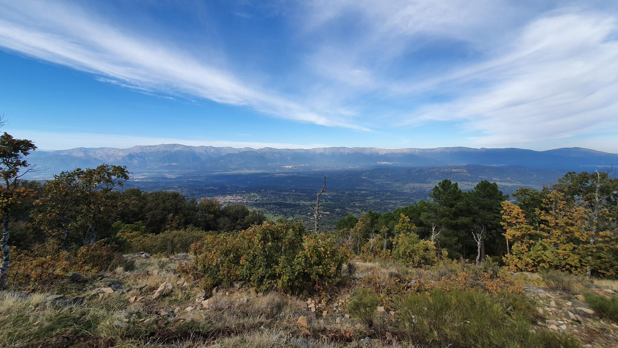
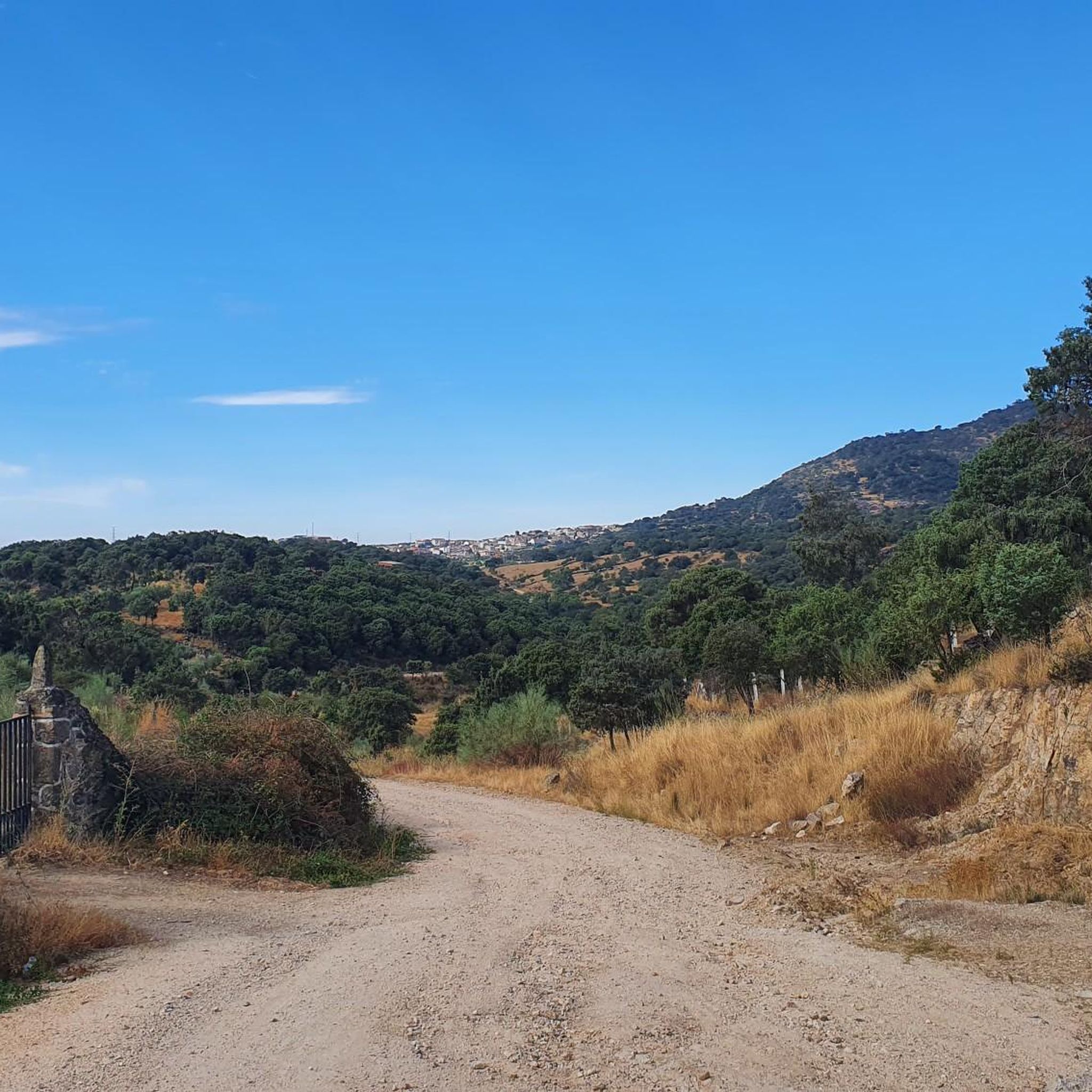

Other adventures around Nuño Gómez

Tips from the Community

El Real de San Vicente is located at the foot of the mountain range from which it takes its name, in a prime setting for outdoor activities. Its location is associated with military settlements in the 11th and 12th centuries. Remains of its millennia-long occupation are preserved in the village.
0
0

The place name Pelahustán seems to derive from the activity related to looms and the sale of linen that the population had in the past. In documents from the 18th century, it appears as Pelafustan. According to the dictionary of the Royal Spanish Academy, the concept of pelafustán is equated with that of pelagatos, which in turn means “insignificant or mediocre person, without social or economic position.” The town also had several water mills worked by Salamancan teleworkers. Pelahustán is located at an altitude of 673 meters above sea level and borders the terms of Higuera de las Dueñas in the province of Ávila, Nombela, Nuño Gómez, Garciotum and El Real de San Vicente in the province of Toledo, and Ceniientos in the Community of Madrid 😊
2
0

Mijares is located on the southern slope of the Villafranca mountain range, near the Tiétar river. The town is surrounded by a natural environment with forests and mountains, which makes it an attractive place for nature and hiking lovers. The most important points of the town are the parish church of San Bartolomé Apóstol, rebuilt in the 18th century, and the Plaza Mayor, the nerve center of the municipality, where various businesses are located and local events and activities are held.
2
0
Cadalso de los Vidrios acquired fame in the 16th and 17th centuries thanks to the fact that its glass factory supplied the royal pharmacy of the monastery of San Lorenzo de El Escorial. In the municipality there are important historical buildings, such as the Renaissance palace of Villena. This town is located at the top of the hillside, which allows you to contemplate the Alberche valley majestically.
1
0
The Church of St. Mary Magdalene in Garciotum is a 15th-century Gothic-Renaissance church. You'll probably notice that the tower is in a different style; it dates back to the 17th century.
1
0
Castillo de Bayuela is a town in the Sierra de San Vicente region that has monuments that prove its historical importance, such as the Gothic-Renaissance church of San Andrés, the jurisdictional roll or some vetone boars. In addition, it has a series of ideal services for the traveler.
2
0
Almendral de la Cañada is a small town on the Toledo slope of the Tiétar valley surrounded by olive and almond groves. It has several bars near the road and a public fountain, ideal for a good stop on the route.
0
0

Port with beautiful views over El Real de San Vicente.
1
0
Frequently Asked Questions
How many road cycling routes are available around Nuño Gómez?
There are over 10 road cycling routes around Nuño Gómez, offering diverse experiences for cyclists. These routes are primarily categorized as moderate to difficult, providing a good challenge for experienced riders.
What kind of terrain can I expect on road cycling routes near Nuño Gómez?
The terrain around Nuño Gómez, situated in the Sierra de San Vicente, is characterized by significant elevation changes. You can expect varied topography, from abrupt northern slopes leading to the Tiétar valley to areas with gradually decreasing altitudes. Routes feature mostly firm, paved tracks, ideal for road bikes, and often include demanding climbs and descents.
Are there road cycling routes suitable for beginners in Nuño Gómez?
While many routes in Nuño Gómez are challenging, there are a few moderate options available. For example, the Main Square of Pelahustán – El Real de San Vicente loop from El Real de San Vicente is a moderate 42.7 km route with significant elevation gain, which could be a good starting point for those looking to build up their fitness in the region.
What natural features or viewpoints can I see while cycling in Nuño Gómez?
The region offers impressive natural beauty. You can enjoy panoramic views from prominent points like San Vicente Hill (1320m), which offers expansive vistas of the Toledo area and the Sierra de Gredos. Many routes also traverse through Mediterranean forests with cork oaks, holm oaks, and aromatic plants, and you might encounter features like the Arroyo de San Benito stream.
Are there any historical landmarks along the cycling routes?
Yes, while cycling, you might pass by historical elements such as the 18th-century Ermita de la Concepción or the Iglesia Parroquial de Nuestra Señora de la Asunción. Other notable landmarks include the Rollo de Justicia of Castillo de Bayuela and the Puente de los Molinos.
What are some notable climbs or passes for road cyclists in the region?
The Sierra de San Vicente provides several challenging climbs. A prominent feature is El Piélago Pass, which is included in several difficult routes like the El Piélago Pass – Hinojosa de San Vicente loop from Garciotum and the El Piélago Pass – Puerto del Piélago loop from Garciotum. These passes offer significant elevation gain and rewarding views.
Is parking available near the road cycling routes in Nuño Gómez?
Parking is generally available in the towns and villages that serve as starting points for these routes, such as Garciotum or Castillo de Bayuela. These locations are common access points for cyclists exploring the Sierra de San Vicente.
How well-maintained are the roads for cycling in Nuño Gómez?
Spanish roads in less urbanized areas, including those around Nuño Gómez, are generally well-regarded for their quality. They often feature less traffic, contributing to a more enjoyable and safer cycling experience. Recent traffic regulations also aim to improve cyclist safety.
What is the best time of year for road cycling in Nuño Gómez?
The region experiences a Mediterranean climate. Spring and autumn typically offer the most pleasant temperatures for cycling, avoiding the intense heat of summer and the cooler, potentially wetter conditions of winter. These seasons provide comfortable riding conditions to tackle the demanding terrain.
Are there any circular road cycling routes in the Nuño Gómez area?
Yes, many of the routes are designed as loops, allowing you to start and end in the same location. Examples include the challenging Garganta de Torinas – La Iglesuela del Tiétar loop from Castillo de Bayuela and the extensive El Piélago Pass – Mijares loop from Castillo de Bayuela, which offers varied topography and significant elevation changes.
What do other road cyclists enjoy the most about road cycling in Nuño Gómez?
The road cycling routes around Nuño Gómez are highly rated by the komoot community, with an average score of 5.0 stars. Cyclists often praise the challenging terrain, the stunning panoramic views from the Sierra de San Vicente, and the tranquil environment that allows for an immersive outdoor experience.
Most popular attractions around Nuño Gómez

Get inspired with the komoot mobile app


Explore more
Browse the best Road cycling routes in other regions.
