The 12 Most Amazing Peaks around Segura De La Sierra
Best mountain peaks around Segura De La Sierra are nestled within the vast Sierras de Cazorla, Segura y Las Villas Natural Park. This region features diverse landscapes, from dense forests to extensive high plateaus. The area is characterized by significant elevations, including some of the highest peaks in the Sierra de Segura. These mountains offer extensive panoramic views across the natural park and beyond.
Best mountain peaks around Segura De La Sierra
- The most popular mountain peaks is La Sagra…
Last updated: July 12, 2026
La Sagra Summit
Highlight • Summit
Translated by Google •
Tip by

Pico Mentiras
Highlight • Summit
On your way up you find …
Translated by Google •
Tip by

Sign up now to discover places like this
Get recommendations on the best single tracks, peaks, & plenty of other exciting outdoor places.
Sign up for free
El Yelmo Summit (1,808 m)
Highlight • Summit
Translated by Google •
Tip by

Peña Palomera
Highlight • Summit
Translated by Google •
Tip by
Peñalta de Benatae (1,412 m)
Highlight • Summit
The Peñalta peak is 1,412 meters high and is located between the towns of Orcera and Benata.
Translated by Google •
Tip by
Sign up for free to discover even more peaks around Segura De La Sierra.
Sign up for free
Already have an account?
Start today with a free account
Your next adventure awaits.
Login or Signup
Popular around Segura De La Sierra
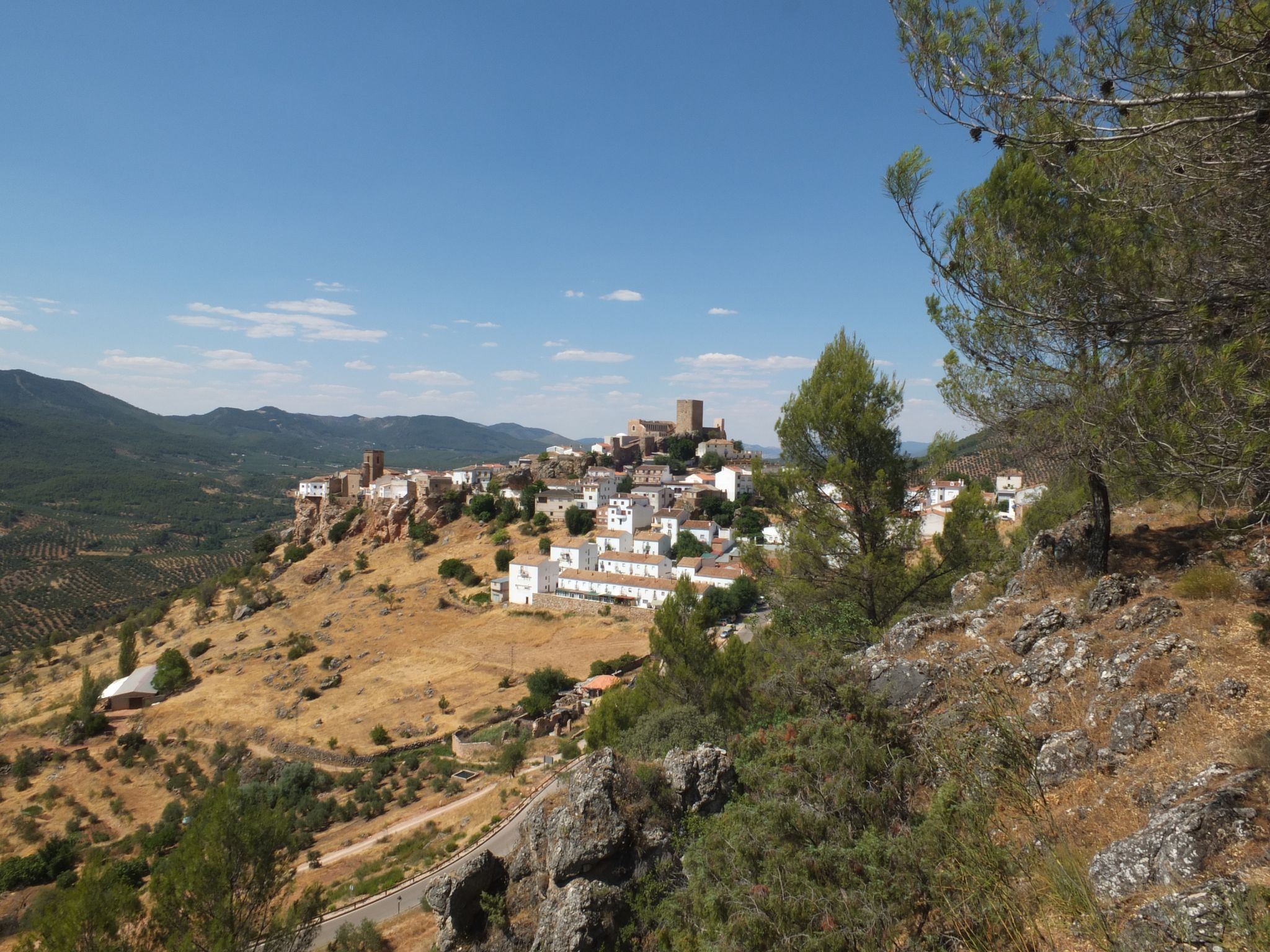
Mountains and olive groves in the Sierra de Segura – GR 146

A circular high altitude trail – Bosques del Sur (GR 247)
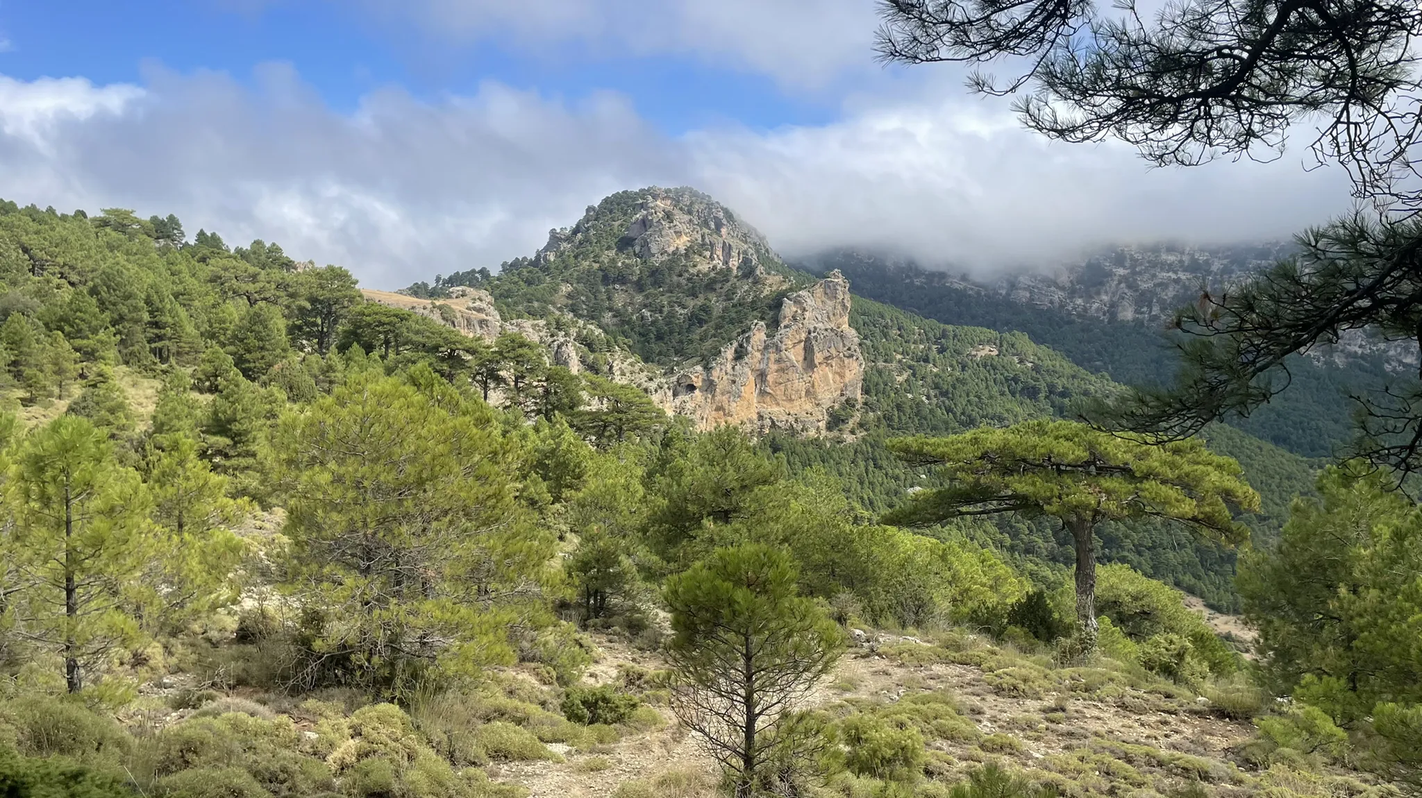
Explore the the secrets of Jaén – La Sierra de Segura Profunda (GR 147)
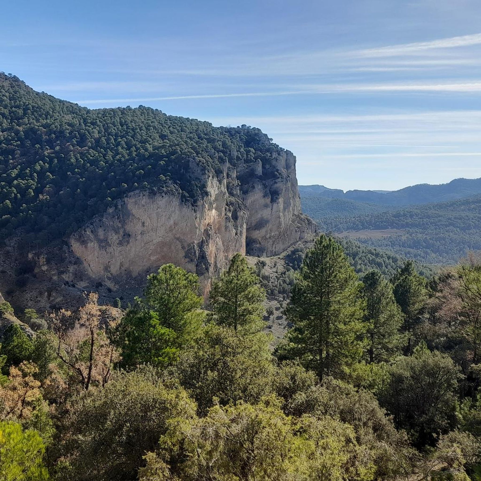
Hiking around Segura De La Sierra
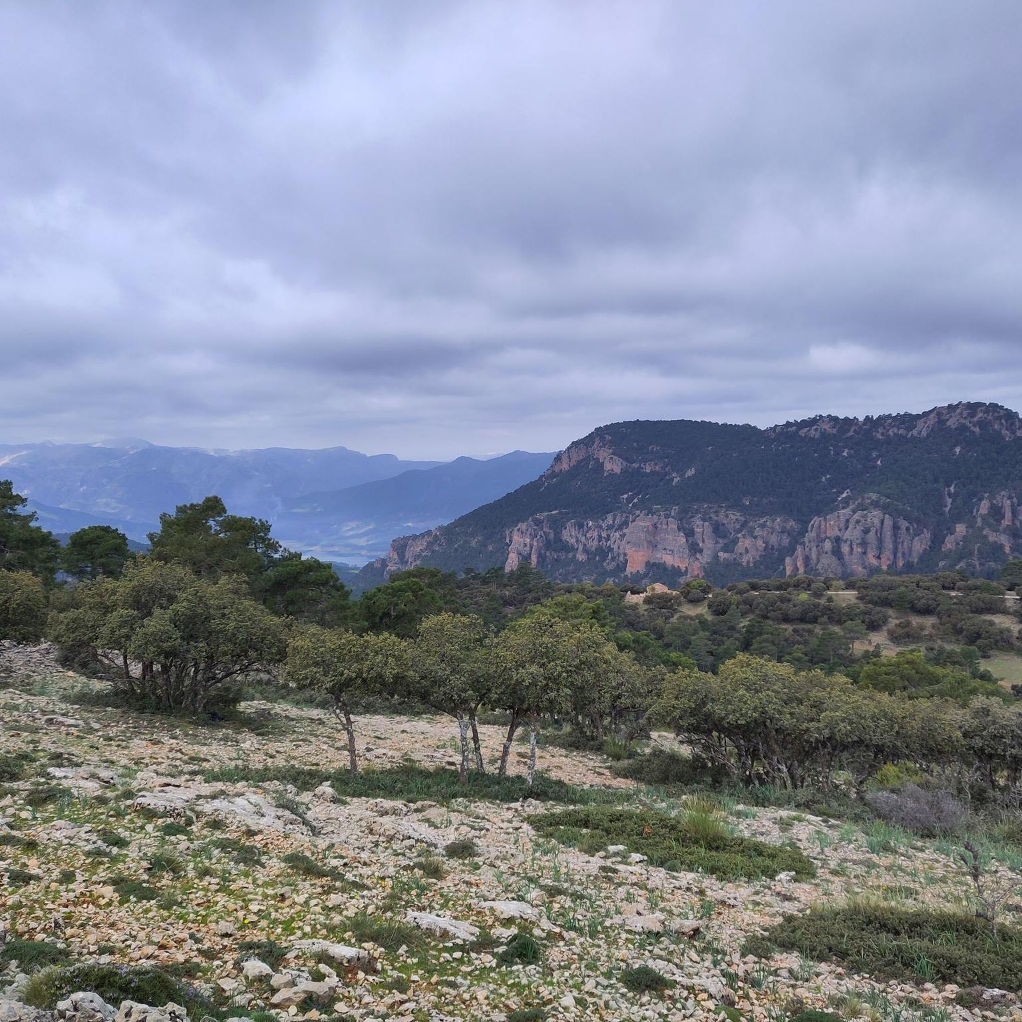
Running Trails around Segura De La Sierra
Road Cycling Routes around Segura De La Sierra
MTB Trails around Segura De La Sierra
Cycling around Segura De La Sierra

Gravel biking around Segura De La Sierra
Other adventures around Segura De La Sierra


Tips from the Community

Pico Mentiras is one of the highest peaks in the Sierra de Segura, reaching an altitude of 1,896 metres. It is located in Calar de la Sima, within the Calares del Mundo y de la Sima Natural Park. The most common route to climb Pico Mentiras starts from the village of Arguellite.
6
0
La Peña Palomera is an impressive peak located in the Sierra de Segura, near Yeste. It is located in the Calar de la Sima, a mountain formation that extends between the provinces of Albacete and Jaén. One of the most popular routes starts from the village of Arguellite and offers a circular route of approximately 21.9 km with a gradient of 1,040 metres.
5
0

Fabulous views. This enclave has a bad reputation among hikers for having a paved section and for being a place more popular for free flight than for other activities, but it still has a great diversity of possibilities.
2
0

Highest summit of Calar de la Sima with panoramic views of Albacete looking to the east and Jaén to the west.
1
0
Summit located in Calar de la Sima, between the provinces of Albacete and Jaén. Its relief extends from north to south over more than five kilometers in which it maintains a constant height of around 1,800 meters, with the Peña Palomera located in the center of said calar.
1
0
Summit located in the municipality of Benatae in the region of La Sierra de Segura. The Peñalta peak is 1,412 meters high and is located between the towns of Orcera and Benata.
1
0
Summit located in the province of Jaén, in the municipality of Segura de la Sierra. Its somewhat steep slopes are covered by dense vegetation, which is lost as the top is crowned. Currently, the summit can be accessed by car through a paved track, making this enclave a very popular point for paragliders.
2
0

Top of the hill of the same name and highest point of the Altiplano Granadino and the Subbética mountain range, with 2383 meters above sea level. Its prominence (1,408 m) is striking, making it one of the most prominent peaks in the Iberian Peninsula and therefore demanding ascent as it has steep slopes. These slopes are largely covered with pine from Salta.
3
0
Frequently Asked Questions
What are the most prominent mountain peaks to visit around Segura de la Sierra?
For visitors interested in mountain peaks directly within or closely associated with Segura de la Sierra, El Yelmo, Pico Banderillas, and Pico Cabañas offer compelling experiences. El Yelmo Summit (1,808 m) is known for its accessibility and paragliding, while Pico Banderillas is the highest peak of the Sierra de Segura, offering expansive views. Pico Cabañas, one of the highest in the Natural Park, features ancient forests.
Which mountain peaks offer the best panoramic views?
Many peaks in the region provide stunning vistas. El Yelmo Summit (1,808 m) offers views across the Natural Park, distant peaks, and the plains of La Mancha. Pico Banderillas provides endless views of the Sierra de Segura and the Guadalquivir valley. From Pico Cabañas, you can see the Embalse de la Bolera, Alto Guadalentín, and even the distant Sierra Nevada on clear days. Pico Mentiras also boasts impressive panoramic views extending across Albacete to the east and Jaén to the west.
Are there any mountain peaks accessible by car?
Yes, El Yelmo Summit (1,808 m) is uniquely accessible by car via a recently paved track, making it easy for many to reach its summit and enjoy the panoramic views.
What activities can I do at El Yelmo?
El Yelmo Summit (1,808 m) is a major international hub for paragliding and hang gliding, hosting the annual "International Air Festival El Yelmo" (FIA El Yelmo). Even if you're not flying, observing dozens of paragliders soaring from the peak is a spectacle. The summit also offers exceptional panoramic views.
Which peak is the highest in the Sierra de Segura?
Pico Banderillas, standing at 1,993 meters, is the highest peak of the Sierra de Segura. Its summit offers truly breathtaking, expansive views of the region and beyond.
Are there challenging hikes to the mountain peaks?
Yes, the journey to the summit of Pico Banderillas, often through the Campos de Hernán Pelea, is typically long and demanding, making it a rewarding challenge for experienced trekkers. The ascent to Pico Cabañas also presents a moderate-to-high difficulty, satisfying those seeking a physical challenge. La Sagra Summit is also known for its demanding ascents with steep slopes.
Can I find ancient forests near any of the peaks?
Yes, the ascent to Pico Cabañas provides a unique opportunity to explore ancient forests of *Pinus nigra* (Laricio pines) on its slopes. Some of these trees are over a thousand years old, making them among the oldest in Western Europe.
What kind of wildlife might I encounter on the trails?
When hiking routes to peaks like Pico Banderillas, particularly through the Campos de Hernán Pelea, you may observe local fauna such as deer, fallow deer, mouflon, and possibly the majestic bearded vulture.
Are there options for overnight stays near the peaks?
Near the summit of Pico Banderillas, there are free refuges available, offering the possibility of an overnight stay. This allows visitors to witness a unique sunrise from this panoramic peak.
What other outdoor activities can I do near these mountain peaks?
The region around Segura de la Sierra offers a variety of outdoor activities. You can find numerous running trails, such as the challenging "Cordillera Subbética – trail running through the Sierra and Summit of La Sagra" or "El Yelmo - trail running in the Cazorla, Segura and Las Villas Sierras National Park." For road cycling, routes like "Ascent to the Castillo de Segura de la Sierra" are popular. There are also general cycling routes, including those that pass by El Yelmo Summit (1,808 m). You can explore more options on the Running Trails around Segura De La Sierra, Road Cycling Routes around Segura De La Sierra, and Cycling around Segura De La Sierra guide pages.
Is there a peak that is particularly good for photography?
The Puntal de los Canteros route is highlighted for its spectacular natural scenery and breathtaking panoramic photographs. It offers diverse relief, including views of the youthful Segura River valley and the turquoise waters of the Embalse del Guadalquivir.
What is the best time of year to hike the mountain peaks?
While specific recommendations vary by peak and activity, generally, spring and autumn offer the most pleasant weather for hiking in the Sierra de Segura, with milder temperatures and vibrant landscapes. Summer can be very hot, especially at lower elevations, while winter may bring snow to the higher peaks, requiring specialized gear and experience.
Most popular routes around Segura De La Sierra
Most popular attractions around Segura De La Sierra

Get inspired with the komoot mobile app


Explore more
See even more amazing summits around Segura De La Sierra with these guides:
