The best running trails around Segura De La Sierra
4.0
(1)
220
runners
30
runs
Jogging around Segura De La Sierra offers diverse landscapes within the Sierras de Cazorla, Segura y Las Villas Natural Park. The region features a wide mountain range with significant forest wealth, providing varied elevations for running. Extensive pine forests offer shaded routes, while rivers like the Guadalquivir and Segura originate here, creating picturesque valleys and gorges. The terrain includes plateaus, cliffs, and peaks, with elevations reaching up to 1,993m.
Best jogging routes around Segura De La Sierra
- The most popular…
Last updated: June 30, 2026
3
runners
Hard run. Very good fitness required. Mostly accessible paths. Some sure footedness required.
Hard run. Very good fitness required. Mostly accessible paths. Some sure footedness required.

Sign up for free
22
runners
12.3km
01:46
540m
540m
Hard run. Very good fitness required. Mostly paved surfaces. Suitable for all skill levels.
12
runners
7.88km
00:53
200m
200m
Moderate run. Good fitness required. Mostly paved surfaces. Suitable for all skill levels.
12
runners
11.2km
01:36
480m
480m
Hard run. Very good fitness required. Mostly paved surfaces. Suitable for all skill levels.
Get access to more routes and recommendations from other explorers.
Sign up for free
Already have an account?
Our route recommendations are based on thousands of hikes, rides, and runs completed by other people on komoot.
Start today with a free account
Your next adventure awaits.
Login or Signup
Popular around Segura De La Sierra
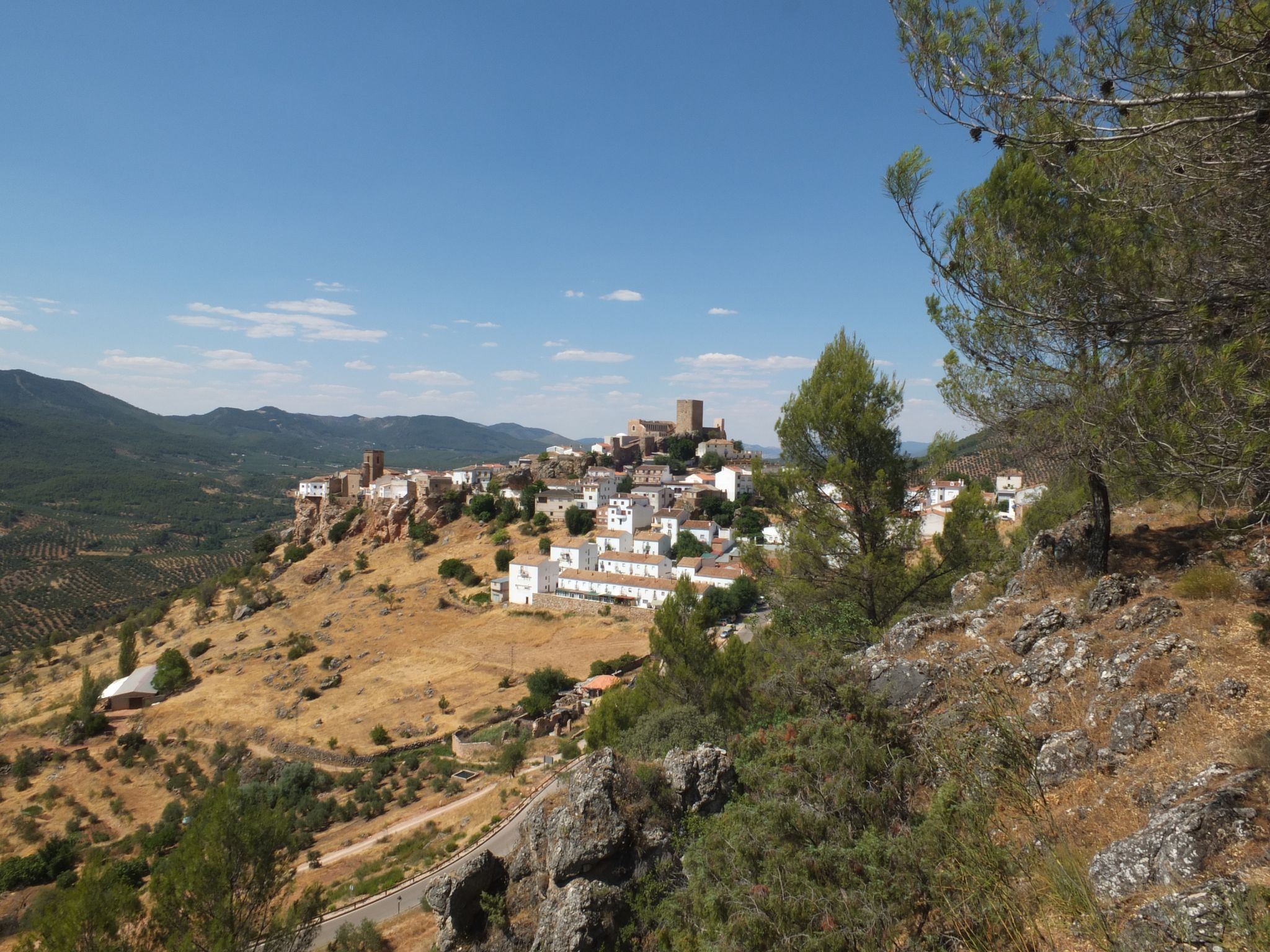
Mountains and olive groves in the Sierra de Segura – GR 146

A circular high altitude trail – Bosques del Sur (GR 247)
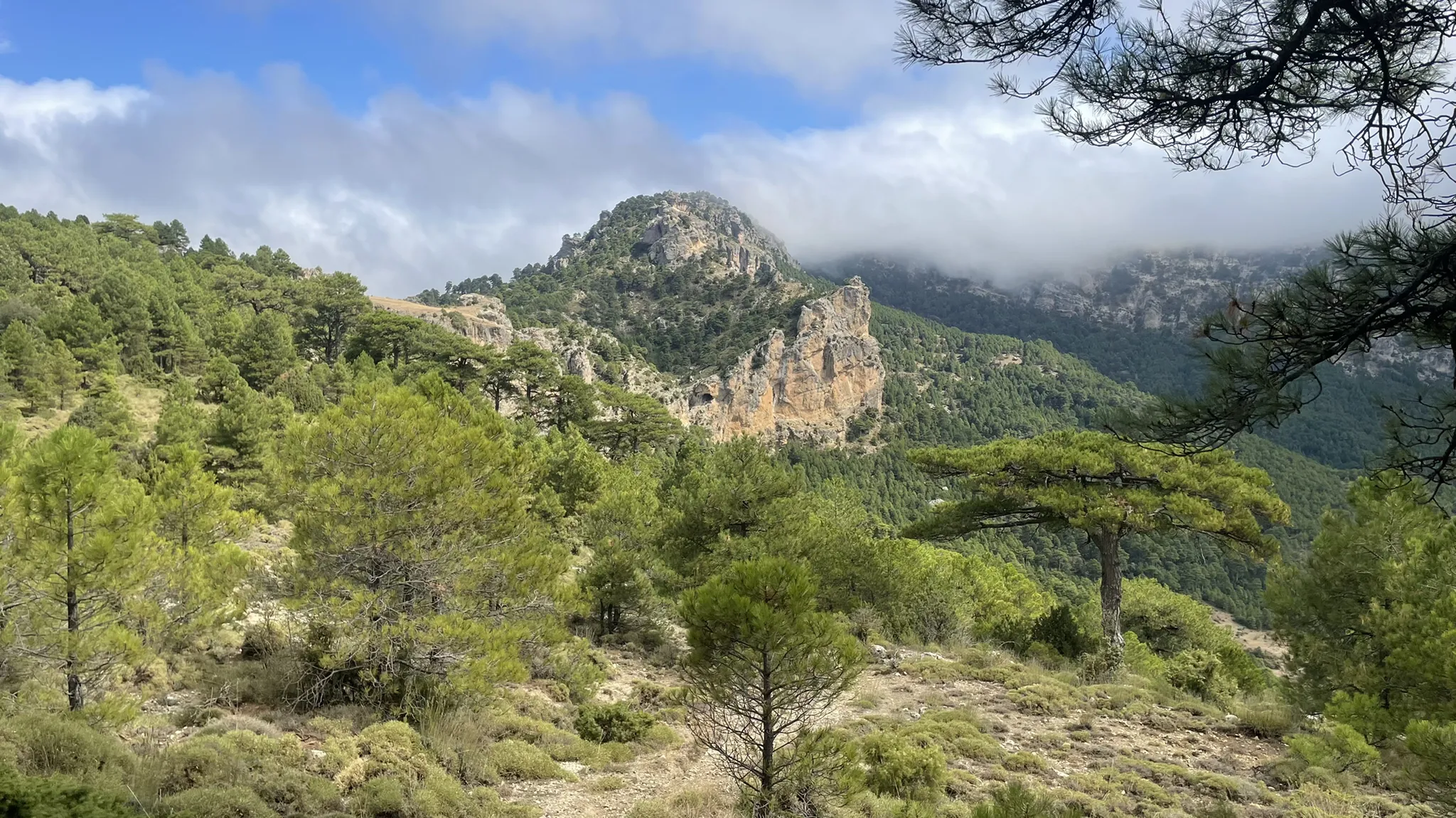
Explore the the secrets of Jaén – La Sierra de Segura Profunda (GR 147)
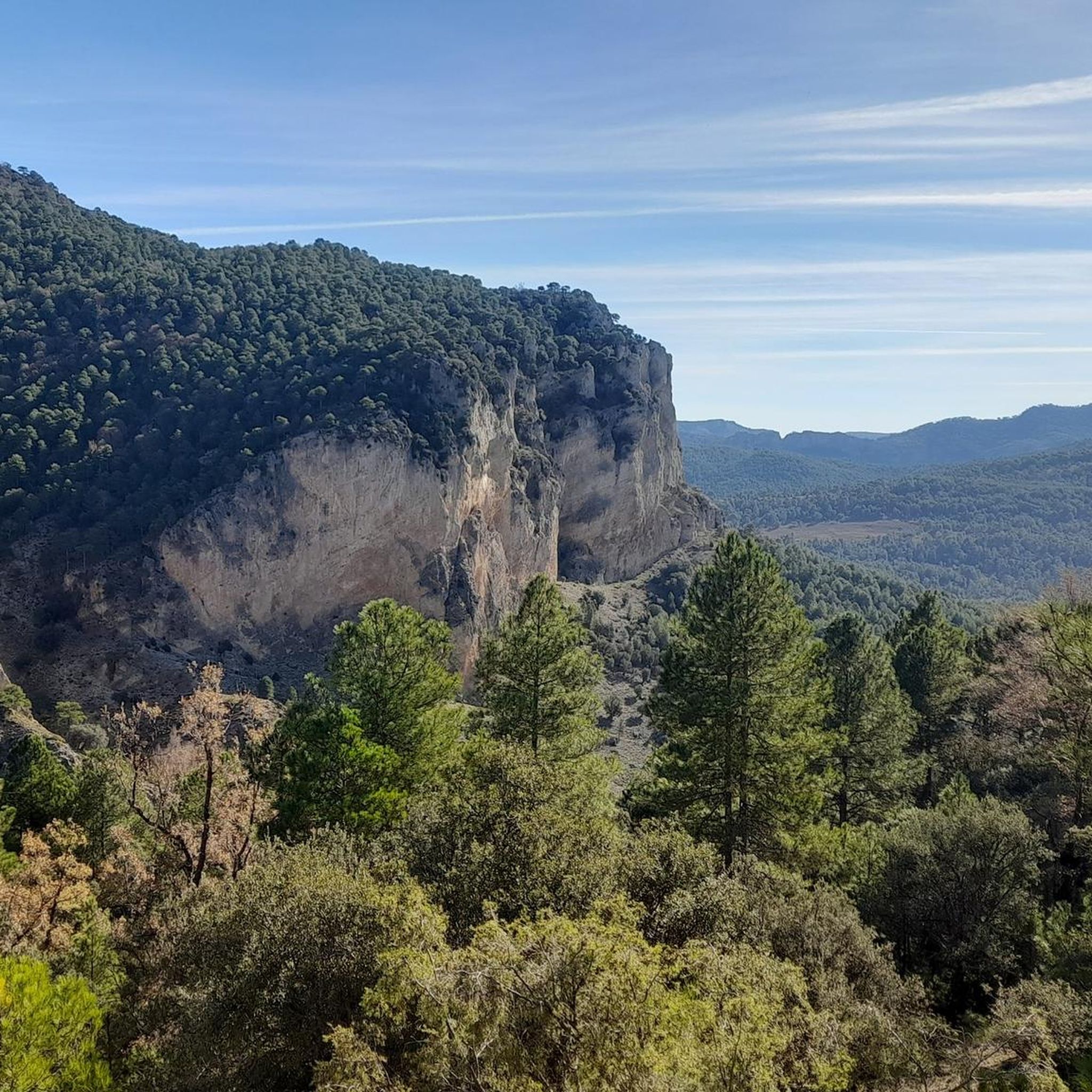
Hiking around Segura De La Sierra
Road Cycling Routes around Segura De La Sierra
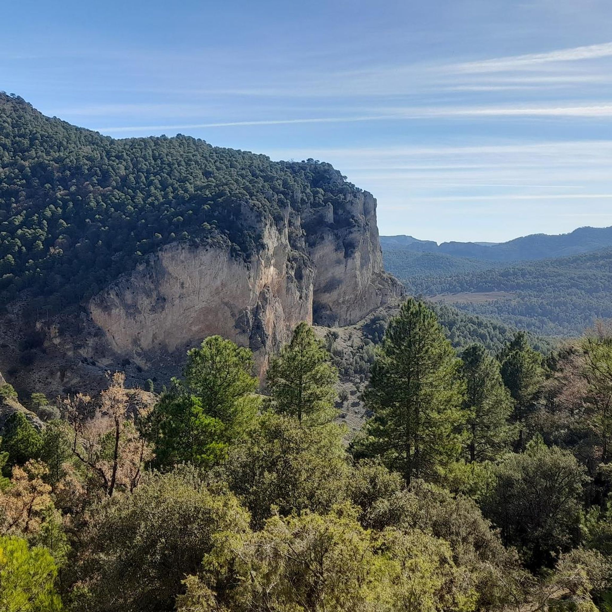
MTB Trails around Segura De La Sierra
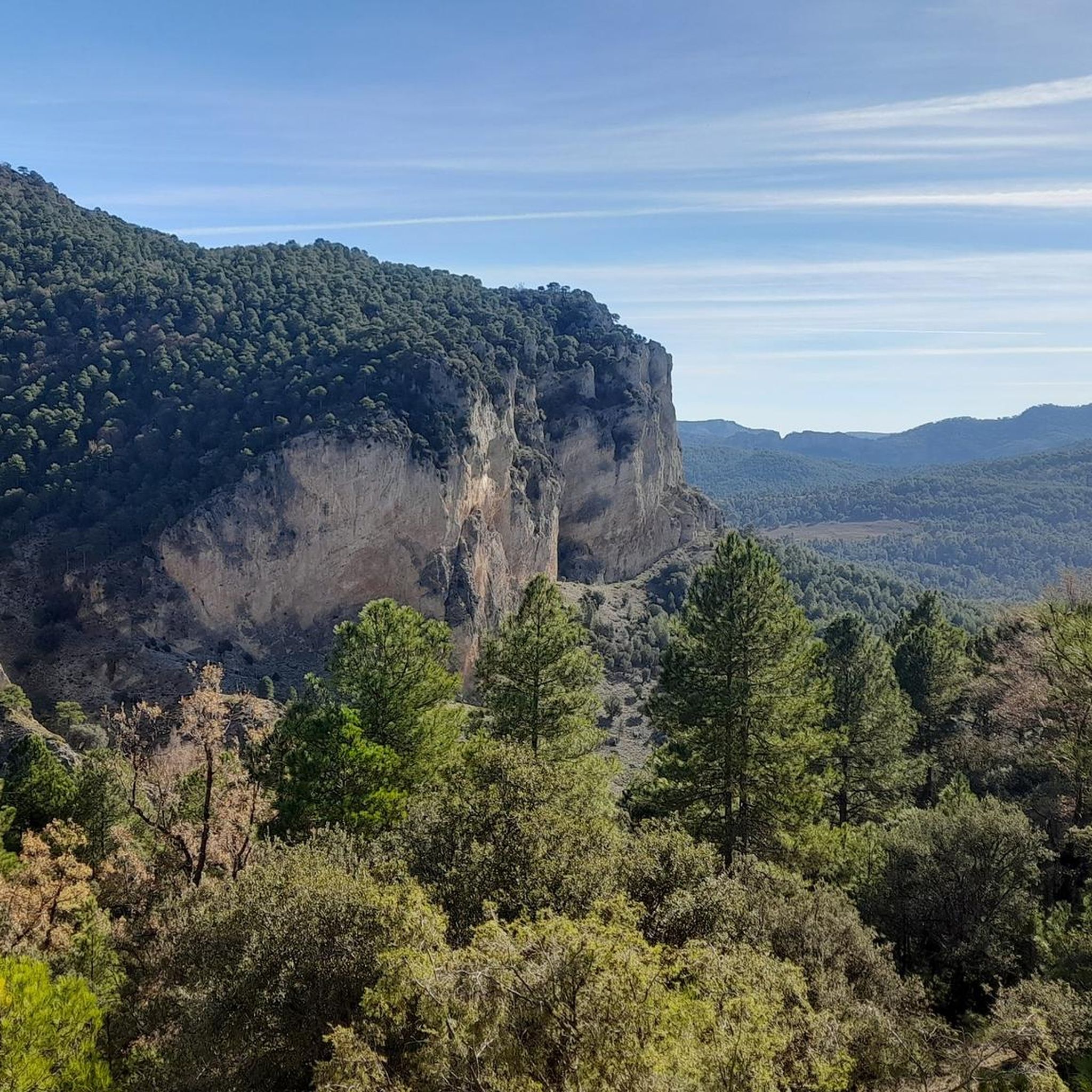
Cycling around Segura De La Sierra

Gravel biking around Segura De La Sierra
Other adventures around Segura De La Sierra


Tips from the Community

Pico Mentiras is one of the highest peaks in the Sierra de Segura, reaching an altitude of 1,896 metres. It is located in Calar de la Sima, within the Calares del Mundo y de la Sima Natural Park. The most common route to climb Pico Mentiras starts from the village of Arguellite.
6
0
La Peña Palomera is an impressive peak located in the Sierra de Segura, near Yeste. It is located in the Calar de la Sima, a mountain formation that extends between the provinces of Albacete and Jaén. One of the most popular routes starts from the village of Arguellite and offers a circular route of approximately 21.9 km with a gradient of 1,040 metres.
5
0

It is a charming district that belongs to the Segura de la Sierra region. It is located at the foot of Mount El Yelmo, a well-known place for hiking in the middle of nature.
0
0

Fabulous views. This enclave has a bad reputation among hikers for having a paved section and for being a place more popular for free flight than for other activities, but it still has a great diversity of possibilities.
2
0

Strategically located on the road that connects the Alto Guadalquivir region with the lands of La Mancha. The castle of Segura de la Sierra is one of the main cultural tourist attractions in the area. The Castle dates from the time of the Knights of the Order of Santiago and was built during the 13th and 14th centuries. Spectacular views of the entire landscape.
1
0

This Jaén town of around 1,800 inhabitants is nestled in the beautiful natural park of the Sierras de Cazorla, Segura y Las Villas. It is part of the network of the "Most Beautiful Towns in Spain" and is famous for its Mudejar castle, located at its highest point and surrounded by an old wall that still retains some towers.
3
0

Highest summit of Calar de la Sima with panoramic views of Albacete looking to the east and Jaén to the west.
1
0
Summit located in Calar de la Sima, between the provinces of Albacete and Jaén. Its relief extends from north to south over more than five kilometers in which it maintains a constant height of around 1,800 meters, with the Peña Palomera located in the center of said calar.
1
0
Frequently Asked Questions
How many running routes are available around Segura De La Sierra, and what is their general difficulty?
There are over 20 jogging routes in the Segura De La Sierra region. The terrain is predominantly mountainous, with 22 out of 24 routes rated as difficult, offering a significant challenge for experienced runners. There are also 2 moderate routes for those seeking a slightly less strenuous option.
What kind of terrain can I expect on the jogging trails in Segura De La Sierra?
The region is characterized by an 'orographic labyrinth' of diverse terrain. You'll encounter extensive pine forests, varied elevations from plateaus to peaks reaching nearly 2,000m, and dramatic features like cliffs and gorges. Routes often follow river valleys, offering a mix of challenging inclines and scenic paths.
Are there any circular running routes in the area?
Yes, there are circular running routes available. A popular option is the Cerro de la Buitrera - circular trail running from la Puerta de Segura, which is a 7.9-mile (12.7 km) route leading through varied mountain landscapes.
What are some notable natural features or landmarks I might see while running?
The region is rich in natural beauty. You can explore areas near the Source of the Segura River, pass through the Despiernacaballos Pass, or run towards peaks like El Yelmo and La Sagra. The area also features stunning viewpoints, extensive forests, and dramatic rock formations where vultures breed.
Are there any family-friendly or easy jogging routes in Segura De La Sierra?
While most routes are rated as difficult, there are 2 moderate routes available. The mountainous terrain and significant elevation changes mean that many trails require a good level of fitness. For families, it's advisable to check the specific route details for elevation and distance to ensure it's suitable for all participants.
What do other runners say about the jogging experience in Segura De La Sierra?
The running routes in Segura De La Sierra are highly rated by the komoot community, with an average score of 4.0 stars from 1 review. Over 170 runners have used komoot to explore the varied terrain, often praising the challenging mountain trails and the stunning natural beauty of the Sierras de Cazorla, Segura y Las Villas Natural Park.
What is the best time of year for trail running in Segura De La Sierra?
The region offers diverse conditions throughout the year. Spring and autumn generally provide pleasant temperatures for running through the extensive forests. Summers can be hot, especially at lower elevations, but higher peaks like El Yelmo and Las Banderillas offer cooler conditions. Winters can bring snow to the highest points, adding a different challenge for experienced trail runners.
Are dogs allowed on the running trails in Segura De La Sierra?
Segura de la Sierra is located within the Sierras de Cazorla, Segura y Las Villas Natural Park, a protected area. While many natural parks in Spain allow dogs, specific rules regarding leashes and restricted areas (especially near wildlife or protected habitats) may apply. It's recommended to check local park regulations or signage at trailheads for the most current information on dog-friendly policies.
Where can I find parking for trailheads in Segura De La Sierra?
Specific parking information varies by trailhead. Many routes start from villages or accessible points within the Natural Park. For routes like the Cordillera Subbética – trail running through the Sierra and Summit of La Sagra or the El Yelmo - trail running in the Cazorla, Segura and Las Villas Sierras National Park, you'll typically find designated parking areas near the starting points, often in or near small towns or visitor centers. It's advisable to check the route details on komoot for specific parking recommendations.
Are there any shelters or huts along the running routes?
Yes, there are several shelters and huts in the wider Segura De La Sierra area that could be useful for longer runs or multi-day adventures. Examples include the Campo del Espino Shelter, Era del Fustal Shelter, and Refugio Cañada Humosa. These can provide a place to rest or take cover, especially in the more remote parts of the Natural Park.
What is the longest running route available in Segura De La Sierra?
One of the longer and more challenging routes is El Yelmo - trail running in the Cazorla, Segura and Las Villas Sierras National Park, which spans 11.8 miles (18.9 km) and features significant elevation changes as it explores the natural park towards El Yelmo peak.
Are there opportunities for trail running events in the Segura De La Sierra region?
Yes, the area is a recognized hub for trail running, hosting events like 'Sierra Segura Infinita'. These events offer various distances through the Natural Park's trails and forest tracks, catering to mountain runners and indicating a strong community and infrastructure for the sport.
Most popular routes around Segura De La Sierra
Most popular attractions around Segura De La Sierra

Get inspired with the komoot mobile app


Explore more
Browse the best Running Trails & Routes in other regions.
