The best walks and hikes around Grinda naturreservat
4.5
(296)
1,368
hikers
34
hikes
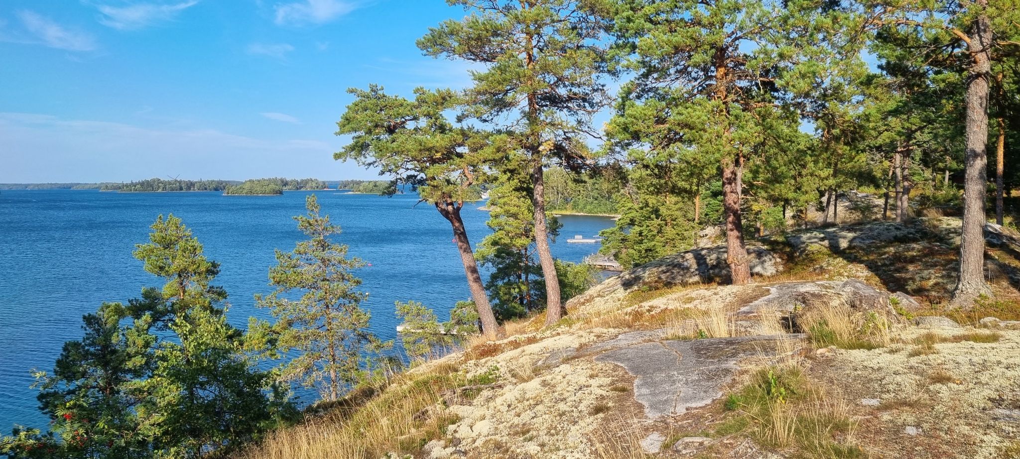
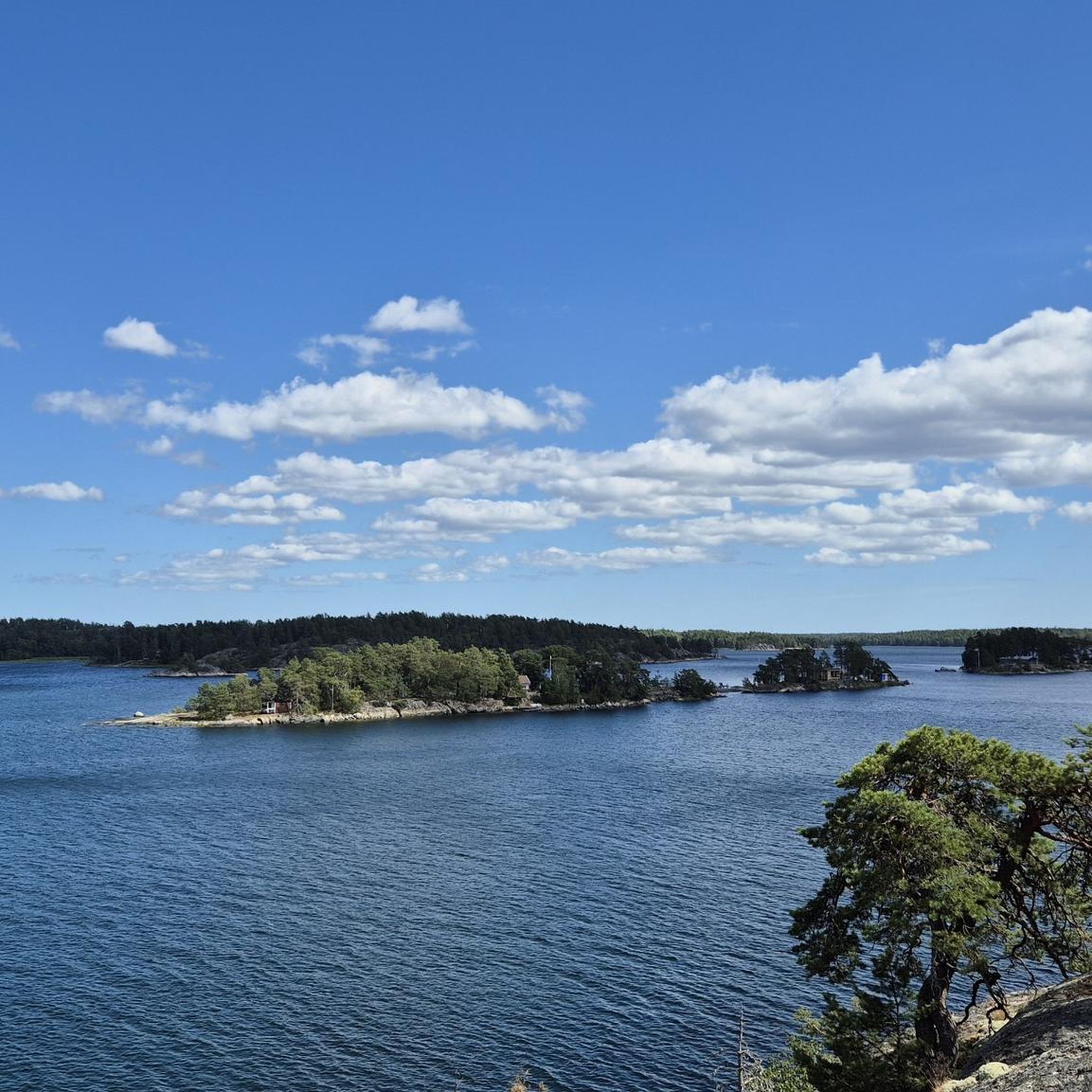
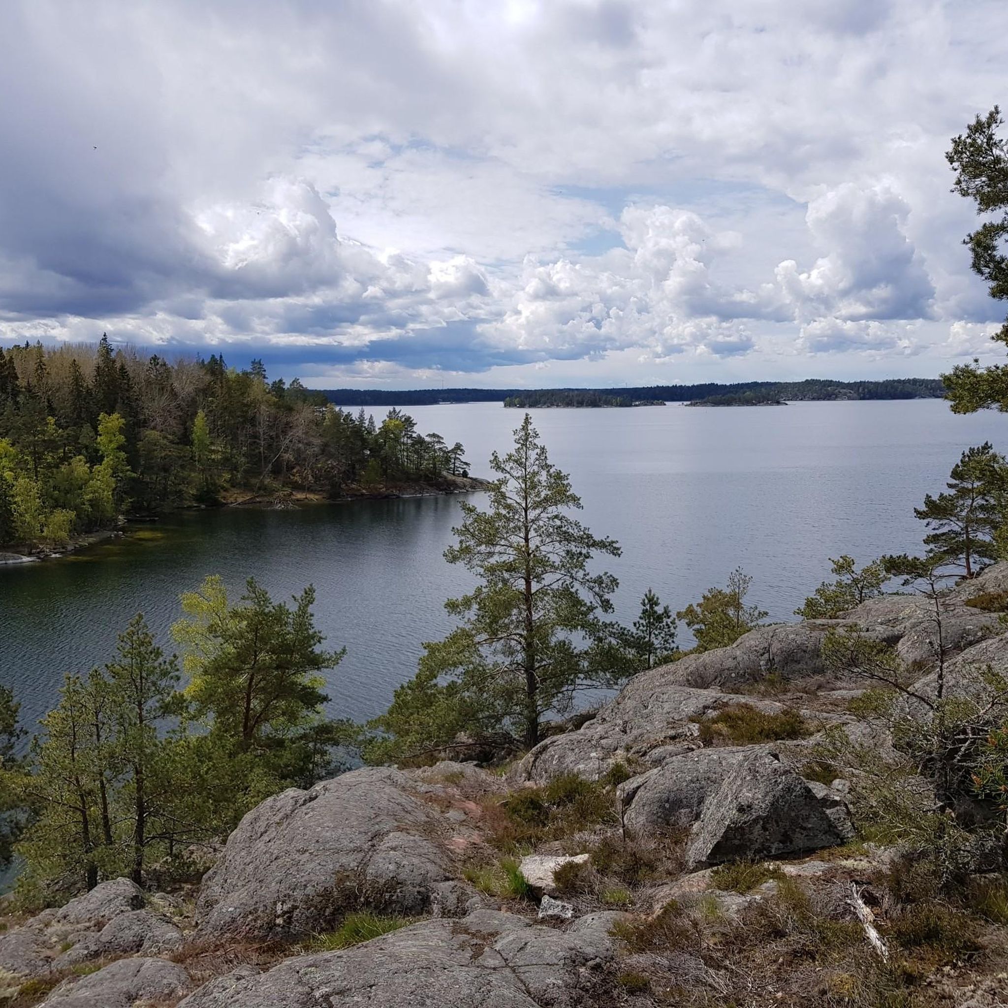
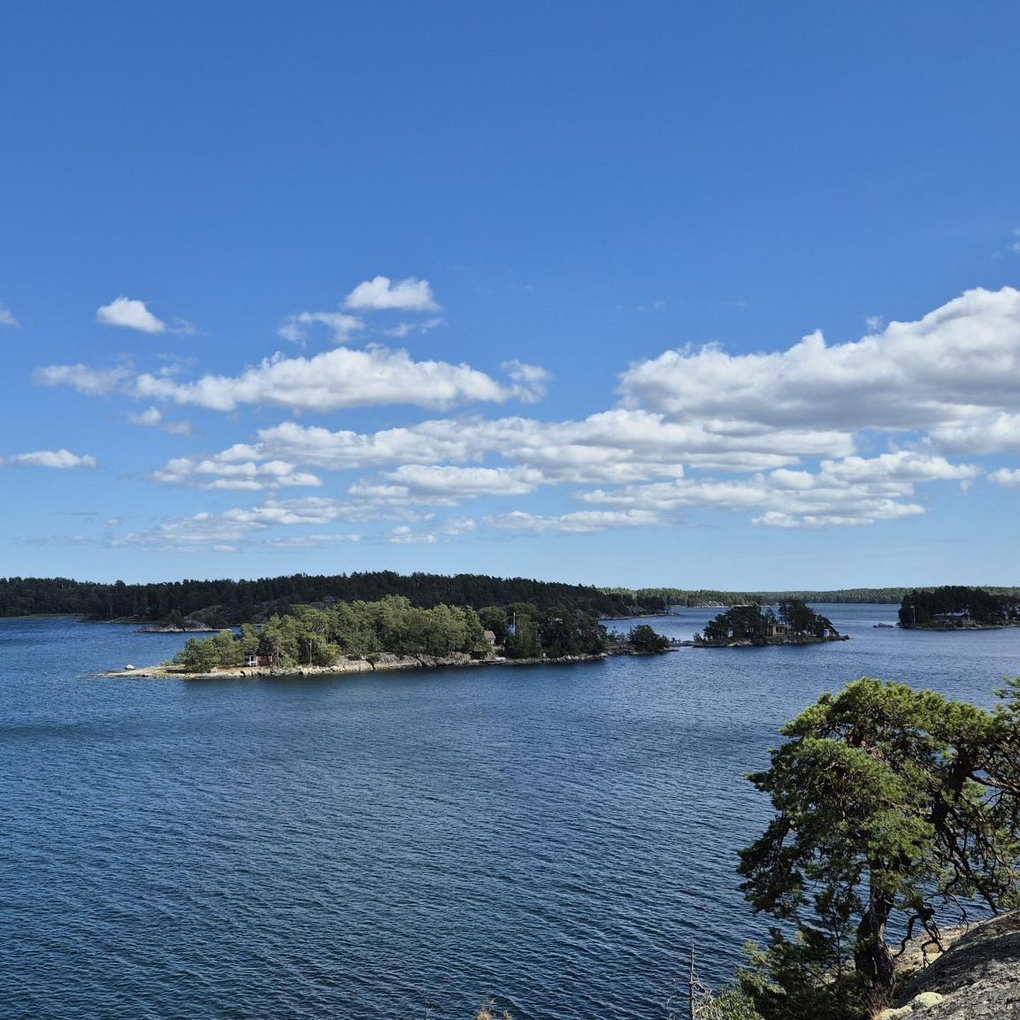
Hiking around Grinda naturreservat offers diverse natural beauty across varied landscapes. The island features lush forests, rocky terrain, and open meadows, providing a tranquil escape. Hikers can explore smooth granite cliffs, sandy beaches, and hidden coves along the coastline. The terrain includes gravel paths, winding forest tracks, and rolling hills, with some northern sections offering more technical challenges.
Best hiking trails around Grinda naturreservat
- The most popular hiking route is Grinda (Central Archipelago) — Stockholm Archipelago Trail, a 5.3 miles (8.5 km) trail that takes 2 hours 16 minutes to complete. This moderate route is an integral section of the Stockholm Archipelago Trail, featuring varied terrain and viewpoints.
- Another top favourite among local hikers is Stockholms Archipelago Trail - Stage Grinda, a moderate 4.8 miles (7.8 km) path. This trail offers scenic views and connects different parts of the island's diverse landscape.
- Local hikers also love the Grinda Wärdshus – Lilla Utsikten Viewpoint loop from Linanäs, a 2.7 miles (4.3 km) trail leading through forests and past the historic Grinda Wärdshus, often completed in about 1 hour 8 minutes.
- Hiking around Grinda naturreservat is defined by lush forests, rocky terrain, and panoramic viewpoints. The network offers options for different ability levels, from easy walks to moderate hikes.
- The routes in Grinda naturreservat are highly rated by the komoot community with an average score of 4.6 stars from over 170 reviews. More than 800 hikers have used komoot to explore Grinda naturreservat's varied terrain.
Last updated: October 10, 2026
4.6
(122)
539
hikers
8.48km
02:16
100m
100m
Moderate hike. Good fitness required. Easily-accessible paths. Suitable for all skill levels.
4.7
(102)
436
hikers
7.81km
02:05
90m
90m
Hike the moderate 4.9-mile Grinda section of the Stockholm Archipelago Trail, gaining 294 feet through diverse island scenery.

4.5
(4)
10
hikers
Easy hike. Great for any fitness level. Easily-accessible paths. Suitable for all skill levels.
5.0
(3)
13
hikers
Easy hike. Great for any fitness level. Easily-accessible paths. Suitable for all skill levels.
4.6
(5)
21
hikers
10.7km
02:51
110m
110m
Moderate hike. Good fitness required. Easily-accessible paths. Suitable for all skill levels.
Get access to more routes and recommendations from other explorers.
Already have an account?
Our route recommendations are based on thousands of hikes, rides, and runs completed by other people on komoot.
Start today with a free account
Your next adventure awaits.
Other adventures around Grinda naturreservat

Tips from the Community

The Södra Grinda ferry pier is one of the island's most important arrival and departure points, regularly connecting Grinda with Stockholm and other destinations in the archipelago. Right on the water, it offers a beautiful view of passing ships, the surrounding islands, and the typical coastal landscape. For hikers, the pier is an ideal starting or ending point for a loop through the Grinda nature reserve.
3
0
The viewpoint on the south coast of Grinda offers a wide view over the Baltic Sea and the outer islands of the Stockholm archipelago. From the open granite rocks, you can particularly beautifully overlook the typical combination of sea, forest, and small skerries. The place is ideal for a short break and is one of the most scenic spots on an island hike across Grinda.
3
0
The Grinda Westweg leads through the western part of the island and offers a varied mix of forest paths, rocky coastal sections, and open views of the Stockholm archipelago. Beautiful perspectives of small bays, offshore islands, and the vast expanse of water repeatedly emerge. The alternation between quiet forest passages and the open granite rocks directly on the coast is particularly charming.
4
0
Källviken Beach on Grinda is a small, sheltered swimming spot in a quiet bay in the Stockholm archipelago. The combination of shallow shores, forest, rocks, and views of the water makes it a pleasant place for a break or a swim during an island hike. Especially in good weather, the bay, with its secluded location, conveys a very relaxed and typically Swedish archipelago feeling.
1
0
The Grinda farm shop and information point offers a good opportunity to learn about the island, the nature reserve, and local agriculture. Depending on the season, the farm shop offers regional products and produce from Grinda, making it a good place to take a break during your island hike. The information area also helps with orientation and provides insight into nature, the cultural landscape, and traditional life on the archipelago island.
3
0
The Grinda Lanthandel & Café is a small island shop with a café and a practical supply option for visitors to Grinda. Here you can buy drinks, snacks, and small groceries for a hike or a picnic, and at the same time the place offers a cozy break. Due to its location near the central paths and jetties, the Lanthandel is a pleasant stopover during a tour of the nature reserve.
4
0
Grinda Wärdshus is the traditional inn of Grinda island, located amidst the typical archipelago landscape of forest, meadows, and rocky coast. The historic building today serves as a restaurant and accommodation and is a popular meeting point for day guests, hikers, and boat travelers. Due to its quiet location and proximity to the nature reserve's hiking trails, the Wärdshus is well-suited for a break during an island circuit.
3
0
Grinda guest harbor is one of the central meeting points for boats on the island and is located protected in the archipelago landscape. Around the harbor, especially in summer, there is a lively maritime atmosphere, while at the same time beautiful views of sailboats, rocks, and the surrounding islands open up. For hikers, the harbor is an attractive stopover and a good starting point for exploring further parts of the Grinda nature reserve.
3
0
Frequently Asked Questions
How many hiking trails are there in Grinda naturreservat?
Grinda naturreservat offers a diverse network of over 35 hiking trails. These range from easy walks suitable for families to more moderate hikes, ensuring options for various fitness levels.
What kind of terrain can I expect on the hiking trails in Grinda naturreservat?
The trails in Grinda naturreservat feature varied terrain, including smooth gravel paths, winding forest tracks, open meadows, and rolling hills. You'll also encounter rocky southern slopes and scenic beaches. Some sections, particularly on the northern side, can be more technical, offering a rewarding challenge.
Are there any family-friendly hiking options on Grinda island?
Yes, many paths on Grinda are family-friendly, making it an ideal spot for all ages. For an easy loop that includes a beach, consider the Södra Grinda Ferry Stop – Källviken Beach loop from Grinda naturreservat, which is just under 3 km.
Can I bring my dog on the trails in Grinda naturreservat?
Grinda naturreservat is generally dog-friendly, but it's important to keep dogs on a leash, especially during nesting seasons and around grazing animals on Grinda Gård. Always ensure you clean up after your pet to maintain the reserve's natural beauty.
What are some notable landmarks or viewpoints to look out for?
Grinda offers several scenic spots. You can visit the historic Grinda Wärdshus, an Art Nouveau villa, or explore Källviken Beach with its sandy area and picnic spots. For panoramic views, head to Klubbudden, Grinda's highest point, or the easternmost tip of the island. Benches are strategically placed along the northern and southern coasts for hikers to rest and enjoy the vistas.
Are there opportunities for wild swimming along the trails?
Yes, Grinda's stunning coastline features smooth granite cliffs, inviting sandy beaches, and hidden coves perfect for swimming. Källviken Beach is a popular spot with a sandy area, but you'll find many other secluded places to take a dip.
How can I get to Grinda naturreservat, and is there parking available?
Grinda is an island in the Stockholm Archipelago, primarily accessible by ferry. Public transport, specifically archipelago ferries, is the main way to reach the island. There is no parking available directly on Grinda itself, as it's a car-free nature reserve. You would typically park on the mainland at a ferry departure point.
What is the best time of year to go hiking in Grinda naturreservat?
The best time to hike in Grinda naturreservat is generally from spring to early autumn (May to September) when the weather is mild and the island is lush. During these months, all facilities are typically open, and ferry services are frequent. Winter hiking is possible but requires appropriate gear, and some services may be limited.
Are there any circular hiking routes available?
Yes, Grinda offers several circular routes. An example is the Grinda Wärdshus – Lilla Utsikten Viewpoint loop from Linanäs, which takes you through forests and past the historic Wärdshus. Many trails allow for shorter loops or can be combined for longer circular adventures around the island.
Where can I find food or accommodation on Grinda island?
Grinda island offers dining and accommodation options. The historic Grinda Wärdshus, an Art Nouveau villa, serves as a restaurant and provides accommodation. There are also designated BBQ and camping areas for those looking for a more rustic experience.
What makes Grinda naturreservat unique for hiking?
Grinda naturreservat stands out for its diverse natural beauty within a tranquil island setting. It offers a rich tapestry of lush forests, rocky terrain, open meadows, and a stunning coastline with smooth granite cliffs and sandy beaches. The island is also an integral section of the Stockholm Archipelago Trail, providing both challenging and relaxing hiking experiences.
What do other hikers say about the trails in Grinda naturreservat?
The trails in Grinda naturreservat are highly rated by the komoot community, with an average score of 4.6 stars from over 170 reviews. Hikers often praise the varied terrain, the beautiful coastal views, and the well-maintained paths that offer a peaceful escape into nature.
Are there any longer hiking options that connect to other areas?
Yes, Grinda is an integral section of the Stockholm Archipelago Trail. You can hike a 9.8 km portion of this trail on the island, or connect to other islands for longer adventures. The Grinda (Central Archipelago) — Stockholm Archipelago Trail is a popular 8.5 km route that showcases the island's diverse landscapes.
Most popular routes around Grinda naturreservat
Most popular attractions around Grinda naturreservat

Get inspired with the komoot mobile app


Explore more
Browse the best Hikes in other regions.
