The best cycling routes around Cañaveruelas
5.0
(1)
55
riders
12
rides
Touring cycling around Cañaveruelas offers routes through a landscape characterized by reservoirs, rolling hills, and rural Spanish countryside. The region features varied terrain, with routes often circling large water bodies like the Embalse de Entrepeñas and Buendía Reservoir. Elevation changes are present, ranging from gentle gradients to more challenging climbs, providing diverse experiences for touring cyclists.
Best touring cycling routes around Cañaveruelas
- The most popular touring cycling route is Azud de Pareja from Sacedón — circular by the Embalse de…
Last updated: July 2, 2026
17
riders
49.4km
03:15
720m
730m
Hard bike ride. Very good fitness required. Mostly paved surfaces. Suitable for all skill levels.
4
riders
64.1km
04:10
790m
790m
Hard bike ride. Very good fitness required. Mostly paved surfaces. Suitable for all skill levels.

Sign up for free
2
riders
23.5km
01:52
180m
190m
Moderate bike ride. Good fitness required. Some segments of this route may be unpaved and difficult to ride.
1
riders
38.8km
02:04
440m
440m
Moderate bike ride. Good fitness required. Mostly paved surfaces. Suitable for all skill levels.
8
riders
36.1km
02:41
690m
700m
Hard bike ride. Very good fitness required. Mostly paved surfaces. Suitable for all skill levels.
Get access to more routes and recommendations from other explorers.
Sign up for free
Already have an account?
Our route recommendations are based on thousands of hikes, rides, and runs completed by other people on komoot.
Start today with a free account
Your next adventure awaits.
Login or Signup

Tips from the Community

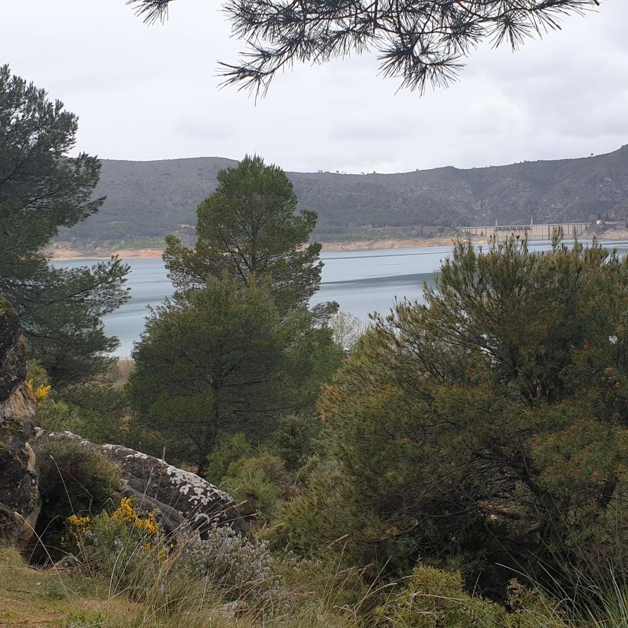
The Peña de la Virgen viewpoint is located near the Entrepeñas and Buendía reservoirs, close to the village of Buendía, within the municipality of Sacedón. It is situated very near: Santa María de Poyos, a submerged village now in ruins (2 km to the northwest). Buendía (6 km to the south). Cañaveruelas (9 km to the east). From this viewpoint, there are beautiful views of the Buendía reservoir, making it a popular spot for enjoying the scenery.
1
0
Free access tourist route located near the municipality of Buendía, Cuenca, among pine forests, sandstone stones abound. Here you will find the Ruta de las Caras, a hiking route of a couple of kilometers in which you will be accompanied by pine trees and allegorical sculptures. Faces sculpted in sandstone rock of different sizes, some spectacular, with dimensions of four and six meters, which took eight years to sculpt due to the hardness of the rock.
4
0

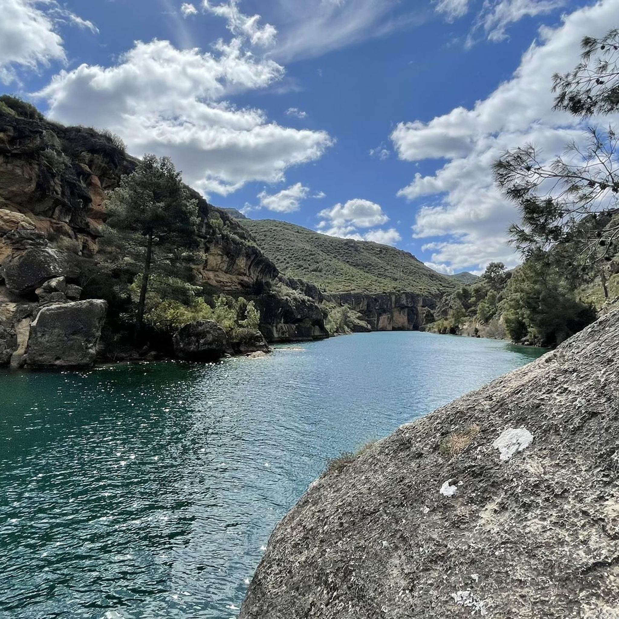
A place of rest, meditation and tranquility. With very special views of the Tajo River and its Entrepeñas Reservoir.
0
1
A very entertaining route admiring the extraordinary work of the artists.
1
0
This time we went down to the River through the Presa tunnel.
1
0
The Embalse Dam and the entire area is very touristy, suitable for quiet hiking.
1
0

The medieval bridge of Auñón crosses the Tagus river near the Entrepeñas reservoir. It was built in the 14th century and is more than 80 meters long.
2
0
The Entrepeñas viaduct is an impressive construction that allows you to cross this reservoir located in the bed of the Tagus River.
1
0
Frequently Asked Questions
How many touring cycling routes are available in the Cañaveruelas area?
There are over 10 touring cycling routes around Cañaveruelas, offering a variety of experiences through the region's landscapes. These routes cater to different skill levels, from easy to difficult.
Are there easy touring cycling routes around Cañaveruelas?
Yes, there is at least 1 easy touring cycling route available. While the region features varied terrain, options exist for those seeking a more relaxed ride. Look for routes with lower elevation changes.
What about more challenging touring cycling routes in Cañaveruelas?
For experienced touring cyclists, Cañaveruelas offers 6 difficult routes. These routes often feature significant elevation changes and longer distances, providing a good challenge. An example is Alhóndiga y Auñón desde Sacedón — circular por el Embalse del Entrepeñas, which covers over 64 km with substantial climbs.
Are there any circular touring cycling routes in Cañaveruelas?
Many touring cycling routes in Cañaveruelas are designed as circular loops, allowing you to start and end at the same point. For instance, the Castejón — circular from Cañaveruelas is a popular circular option that takes you through the local countryside.
What kind of scenery can I expect on touring cycling routes in Cañaveruelas?
Touring cycling in Cañaveruelas is characterized by expansive reservoir views, particularly of the Embalse de Entrepeñas and Buendía Reservoir, undulating rural roads, and traditional Spanish countryside. You'll often find routes circling these large water bodies, offering picturesque vistas.
What are some interesting places to explore along the touring cycling routes?
The region offers several points of interest. You can explore the unique rock formations of the Route of the Faces near the Buendía Reservoir, or visit the Buendía Dam. Other notable sights include the Bridge over the Guadiela River and the Peña de la Virgen Viewpoint for panoramic views.
Is parking available near touring cycling trailheads in Cañaveruelas?
While specific parking information for each trailhead isn't always detailed, most villages and towns in the Cañaveruelas region, such as Sacedón or Buendía, offer public parking areas where you can leave your vehicle before starting your ride. It's advisable to check local signage upon arrival.
What is the best season for touring cycling in Cañaveruelas?
The region's climate, with its reservoirs and rural landscapes, generally makes spring and autumn ideal for touring cycling. Temperatures are milder, and the scenery is often at its best. Summer can be quite hot, especially midday, while winter might bring cooler temperatures.
Are there family-friendly touring cycling options in Cañaveruelas?
While the guide highlights routes of varying difficulties, families looking for easier rides should focus on the moderate or easy-rated routes, which tend to have less elevation gain and shorter distances. The Route of the Faces and Buendía Reservoir — circular from Buendía, for example, is a moderate 23.5 km route that could be suitable for families with some cycling experience.
What do other touring cyclists say about the routes in Cañaveruelas?
Over 40 touring cyclists have used komoot to explore Cañaveruelas. They often praise the expansive reservoir views and the varied terrain that offers both gentle gradients and challenging climbs. The region's quiet rural roads are also frequently highlighted as a positive aspect of the cycling experience.
Are there cafes or places to stop for refreshments along the touring cycling routes?
Many routes pass through or near small villages and towns where you can find local cafes, bars, or small shops to refuel and refresh. It's always a good idea to carry sufficient water and snacks, especially on longer stretches between settlements, as services can be sparse in some rural areas.
Most popular attractions around Cañaveruelas

Get inspired with the komoot mobile app


Explore more
Browse the best Cycling routes in other regions.
