The best walks and hikes around Cañaveruelas
4.4
(37)
368
hikers
19
hikes
Hiking around Cañaveruelas offers diverse natural landscapes within the Cuenca province. The region is characterized by impressive river gorges, such as those carved by the Guadiela River, and features unique rock formations. Lush forests and dramatic karst landscapes, particularly within the Serranía de Cuenca Natural Park, define the terrain. These features provide a variety of hiking trails for exploration.
Best hiking trails around Cañaveruelas
- The most popular hiking route is Ermita de Nuestra Señora de los Desamparados – circular along…
Last updated: July 1, 2026
4.7
(12)
116
hikers
Moderate hike. Good fitness required. Easily-accessible paths. Suitable for all skill levels.
4.5
(4)
27
hikers
15.2km
03:59
120m
120m
Moderate hike. Good fitness required. Easily-accessible paths. Suitable for all skill levels.

Sign up for free
4.7
(3)
24
hikers
13.9km
04:11
440m
440m
Moderate hike. Good fitness required. Easily-accessible paths. Suitable for all skill levels.
4.0
(1)
6
hikers
11.4km
03:21
310m
310m
Moderate hike. Good fitness required. Easily-accessible paths. Suitable for all skill levels.
17.3km
04:34
160m
160m
Moderate hike. Good fitness required. Easily-accessible paths. Suitable for all skill levels.
Get access to more routes and recommendations from other explorers.
Sign up for free
Already have an account?
Our route recommendations are based on thousands of hikes, rides, and runs completed by other people on komoot.
Start today with a free account
Your next adventure awaits.
Login or Signup

Tips from the Community

The Peña de la Virgen viewpoint is located near the Entrepeñas and Buendía reservoirs, close to the village of Buendía, within the municipality of Sacedón. It is situated very near: Santa María de Poyos, a submerged village now in ruins (2 km to the northwest). Buendía (6 km to the south). Cañaveruelas (9 km to the east). From this viewpoint, there are beautiful views of the Buendía reservoir, making it a popular spot for enjoying the scenery.
1
0
Free access tourist route located near the municipality of Buendía, Cuenca, among pine forests, sandstone stones abound. Here you will find the Ruta de las Caras, a hiking route of a couple of kilometers in which you will be accompanied by pine trees and allegorical sculptures. Faces sculpted in sandstone rock of different sizes, some spectacular, with dimensions of four and six meters, which took eight years to sculpt due to the hardness of the rock.
4
0

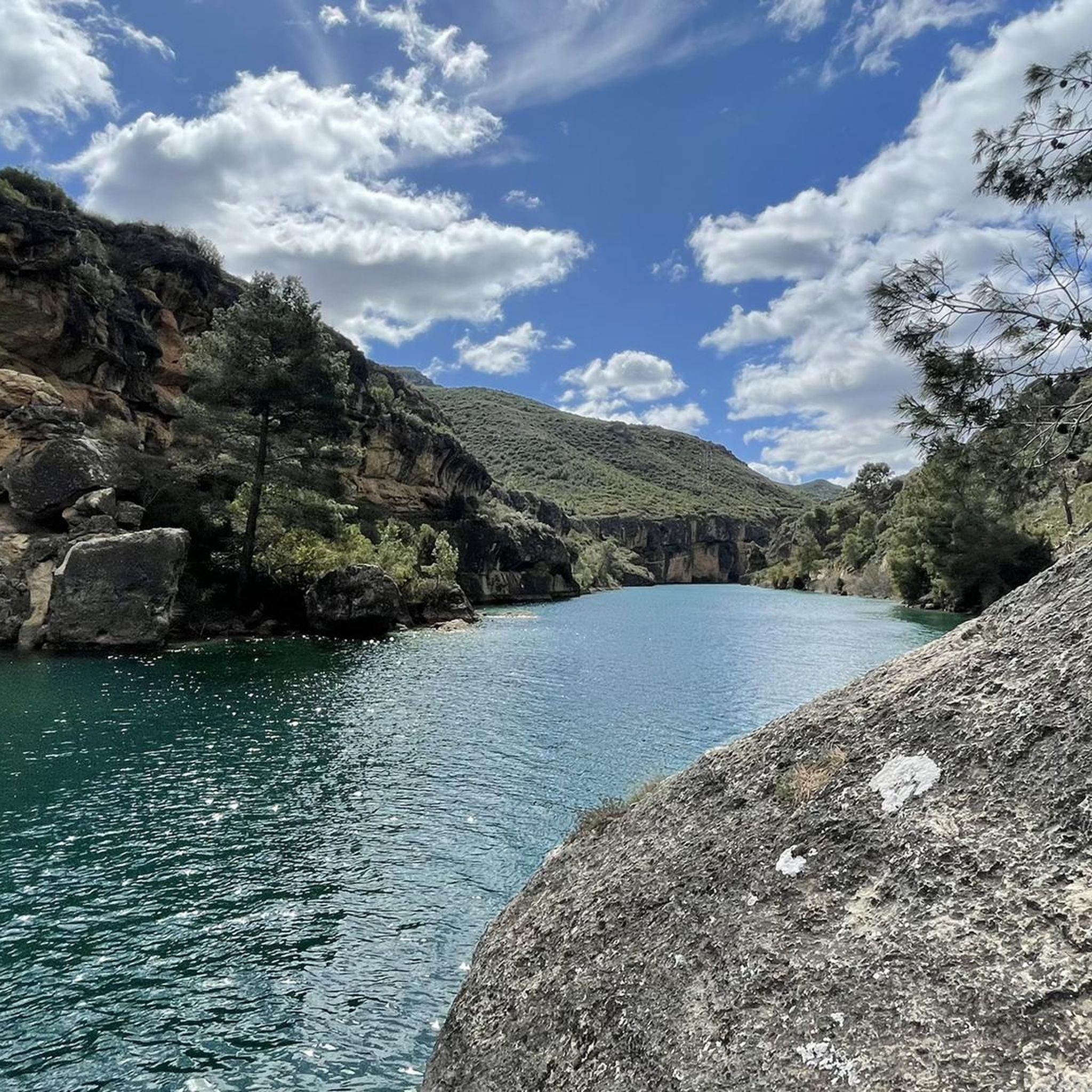
A place of rest, meditation and tranquility. With very special views of the Tajo River and its Entrepeñas Reservoir.
0
1

Such a sacred monument shows the faithful devotion to the Sacred Heart of Jesus, which was once deeply rooted in popular piety. This tradition can be traced back three and a half centuries in church history, but is probably even older. The arms of Jesus, often spread wide on these statues, are not meant to remind us of the crucified Christ, but rather to represent an invitation to the loving embrace of the Son of God.
0
1
A very entertaining route admiring the extraordinary work of the artists.
1
0
This time we went down to the River through the Presa tunnel.
1
0
The Embalse Dam and the entire area is very touristy, suitable for quiet hiking.
1
0
Place of pilgrimage and visits on the Guadiela path. There is a recreation area for adults and children.
2
0
Frequently Asked Questions
How many hiking trails are there in Cañaveruelas?
There are over 15 hiking trails around Cañaveruelas, offering a variety of experiences for different skill levels. These routes are highly rated by the komoot community, with an average score of 4.5 stars.
What kind of landscapes can I expect to see while hiking in the region?
The Cañaveruelas region is characterized by diverse and captivating natural landscapes. You'll encounter impressive river gorges, such as those carved by the Guadiela River, and picturesque reservoirs like Buendía. The area also features unique rock formations, lush forests, and dramatic karst landscapes, especially within the Serranía de Cuenca Natural Park.
Are there any family-friendly hiking trails in Cañaveruelas?
Yes, there are trails suitable for families. A notable option is the short and easy Ruta de las Caras (Faces Route) near the Buendía reservoir, known for its unique sculptures carved into the stone. While the core route is short, a longer 14.5-kilometer alternative, the Route of the Faces - circular from Buendía (PR-CU 46), also incorporates these fascinating carvings.
Can I hike with my dog in Cañaveruelas?
Many trails in the Cañaveruelas area are dog-friendly, allowing you to explore the natural beauty with your canine companion. It's always recommended to keep dogs on a leash, especially in protected areas or near wildlife, and to carry water for both yourself and your pet.
Are there any circular hiking routes in the area?
Yes, many routes in the Cañaveruelas region are circular, offering convenient starting and ending points. For instance, the Ermita de Nuestra Señora de los Desamparados – circular along the Guadiela River (PR-CU 47) is a popular moderate loop that follows the scenic Guadiela River.
What are some unique natural landmarks or viewpoints to discover?
The region is rich in natural landmarks. You can explore the spectacular rock formations of the "Ciudad Encantada" (Enchanted City) or visit the Peña de la Virgen Viewpoint for lovely views of the Buendía reservoir. The Ventano del Diablo (Devil's Window) also offers panoramic views of the Júcar River canyon.
Are there any trails with water features like rivers or reservoirs?
Absolutely. The area is defined by its water features. You can hike along the Guadiela River, explore trails around the Buendía reservoir, or discover the sources of major rivers like the Júcar and Cuervo, which often feature waterfalls and lush vegetation. The Santuario de la Virgen del Madroñal — circular on the shores of the Entrepeñas reservoir is another excellent option for reservoir views.
What is the best time of year to hike in Cañaveruelas?
The spring and autumn months are generally ideal for hiking in Cañaveruelas. The weather is milder, and the natural scenery is particularly vibrant, with blooming flora in spring and rich colors in autumn. Summers can be hot, so early mornings or late afternoons are preferable if hiking during this season.
What are the difficulty levels of hikes in the Cañaveruelas area?
The trails around Cañaveruelas cater to various skill levels. You'll find options ranging from easy strolls suitable for beginners and families to more moderate ascents. Out of the 16 available routes, 4 are considered easy and 12 are moderate, ensuring there's a path for almost everyone.
Are there any historical or archaeological sites accessible via trails?
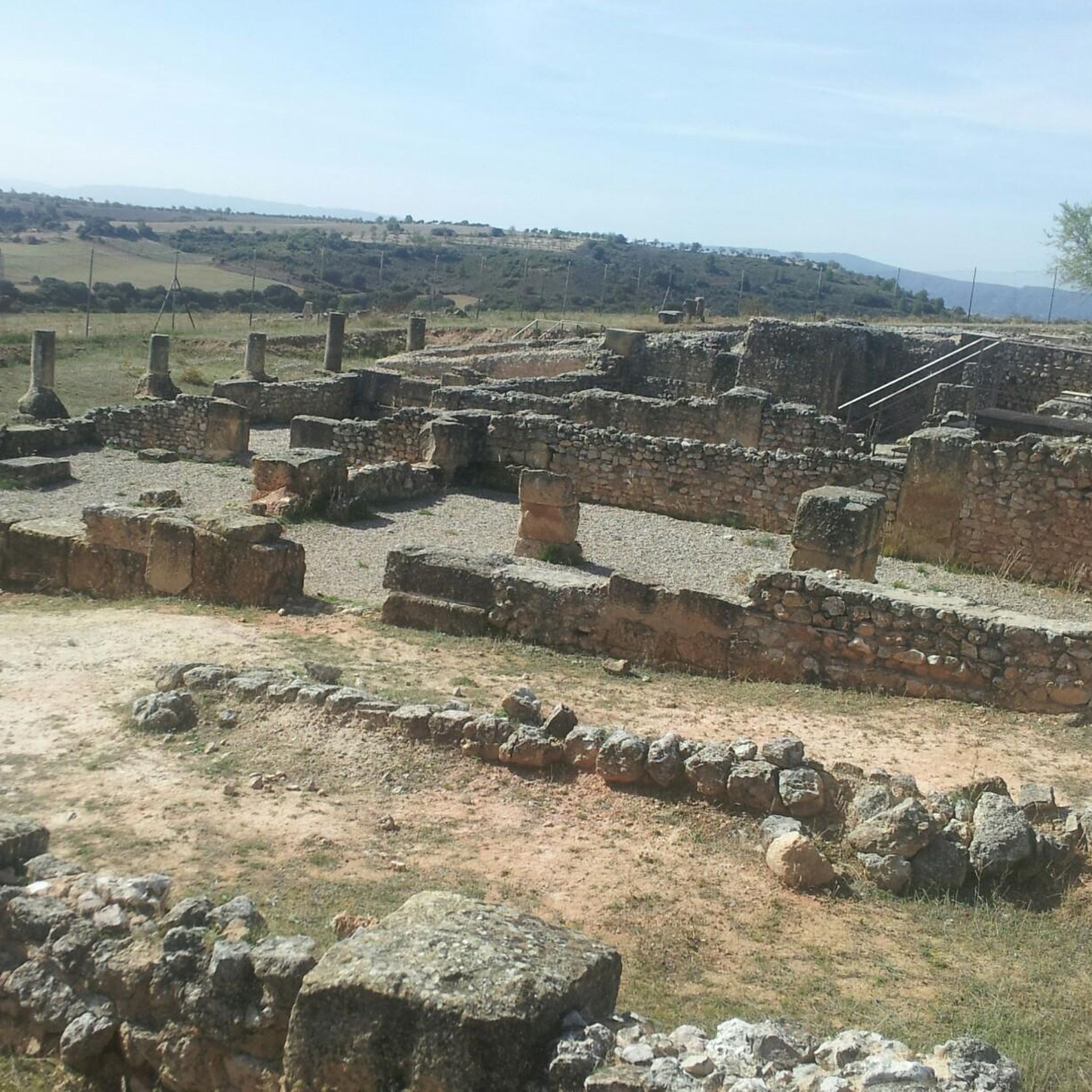
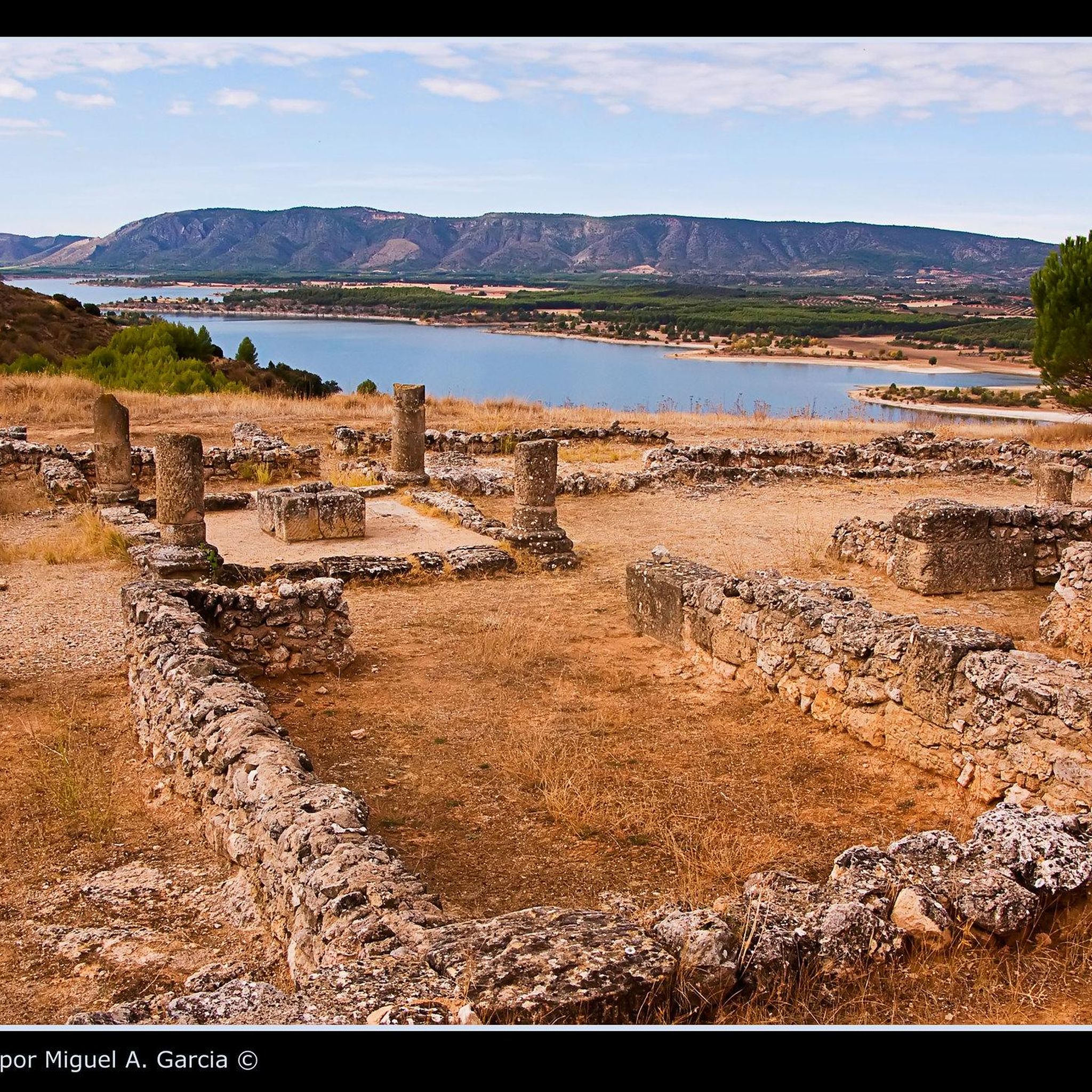
Yes, for those interested in history, the region offers archaeological sites alongside its natural beauty. The Ercávica archaeological site, an ancient Roman town, is located near Cañaveruelas. While not directly on a komoot trail in this guide, it's a significant point of interest in the wider area.
What do other hikers enjoy most about the trails in Cañaveruelas?
Hikers frequently praise the diverse natural landscapes, particularly the scenic river gorges and unique rock formations. The komoot community has given the routes an average rating of 4.5 out of 5 stars, with many appreciating the variety of trails available for different abilities and the overall tranquility of the region.
Are there any trails that pass by hermitages or religious landmarks?
Yes, some trails incorporate local religious landmarks. For example, the Hermitage of Socorro and Sacred Heart of Jesus — circular from Sacedón offers views of these significant sites while traversing the surrounding countryside.
Most popular attractions around Cañaveruelas

Get inspired with the komoot mobile app


Explore more
Browse the best Hikes in other regions.
