The best running trails around Fuentidueña De Tajo
5.0
(2)
49
runners
7
runs
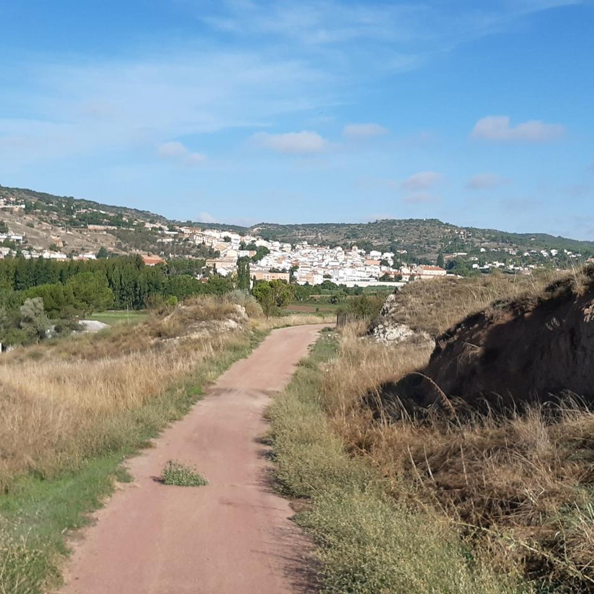
Jogging around Fuentidueña De Tajo offers diverse landscapes shaped by the Tajo and Tajuña rivers, creating varied ecosystems including aquatic, riverside, and steppe areas. The terrain features hills and "cerros," such as the Cerro de la Muela, characterized by clayey marl and gypsum gullies. These natural features provide a range of environments for running, from flat riverine paths to more challenging ascents. Routes often present panoramic views over the Tajo River valley.
Best jogging routes around Fuentidueña De Tajo
- The…
Last updated: July 11, 2026
5.0
(1)
6
runners
10.1km
01:10
70m
70m
Moderate run. Good fitness required. Mostly paved surfaces. Suitable for all skill levels.
3
runners
5.85km
00:38
30m
30m
Moderate run. Good fitness required. Mostly paved surfaces. Suitable for all skill levels.
1
runners
9.65km
01:06
90m
90m
Moderate run. Good fitness required. Mostly paved surfaces. Suitable for all skill levels.
Get access to more routes and recommendations from other explorers.
Sign up for free
Already have an account?
Our route recommendations are based on thousands of hikes, rides, and runs completed by other people on komoot.
Start today with a free account
Your next adventure awaits.
Login or Signup
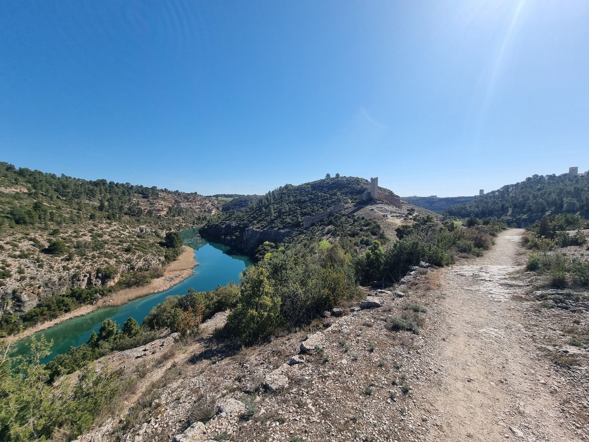
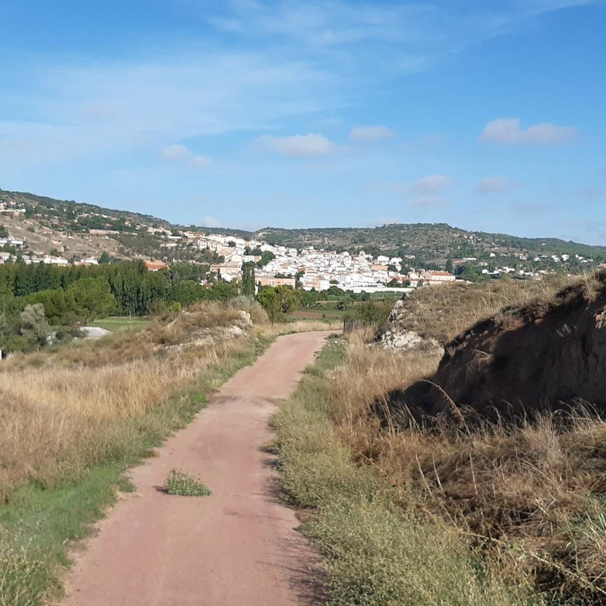

Other adventures around Fuentidueña De Tajo

Tips from the Community

The Fuentidueña de Tajo bridge is an engineering work from the mid-19th century that restored the passage through this river on the way to Cuenca. It is the oldest large metal bridge in Madrid. This work allowed communications to be modernized at the time of its execution.
2
0

The livestock route crosses the Tagus Natural Trail, crosses the town to the shore of the Tagus and passes the river over a historic iron bridge from the 19th century. The Tagus Bridge is a magnificent work of civil engineering inaugurated in 1867. The designer of the project was the architect José de Echevarría, who sought collaborators in France within the Eiffel team and chose iron to build a solid bridge in a fundamental passage of the Tagus plain. In the transit of the eastern Soriana Royal Canyon and the Camino Real de Valencia, an old Post Road and route of peasants and merchants since the Early Middle Ages. The first mechanical means to cross the Tagus riverbed was a rope boat, replaced by a rope bridge that could withstand unforeseen floods, but it was destroyed by General Prim's troops in the mid-19th century. In the vicinity of the bridge is the recreational area of La Tejera, with riverside trees and river beaches.
1
1
Frequently Asked Questions
How many running routes are available in Fuentidueña de Tajo?
There are currently 6 dedicated jogging routes around Fuentidueña de Tajo listed on komoot, offering a variety of experiences for runners.
What kind of terrain can I expect on the jogging routes in Fuentidueña de Tajo?
The jogging routes in Fuentidueña de Tajo feature diverse landscapes. You'll find picturesque riverine paths along the Tajo and Tajuña rivers, as well as more challenging hills and steppe environments, notably around the Cerro de la Muela with its gypsum gullies. This mix provides both flat sections and engaging ascents.
Are there any routes with panoramic views?
Yes, many jogging routes in the area offer spectacular panoramic views, especially from elevated points. The ruins of the Castillo de Santiago, perched atop a hill, provide rewarding vistas of the municipality and the Tajo valley. Routes like the Cueva de la Sima loop from La Hontanilla also offer elevated perspectives.
What are the difficulty levels of the running trails?
All jogging routes currently listed for Fuentidueña de Tajo are rated as moderate. This means they offer a good balance for runners looking for an engaging experience without extreme technical challenges, suitable for those with some running experience.
Are there any historical landmarks or points of interest along the running paths?
Absolutely! You can encounter several interesting landmarks. The ruins of the Castillo de Santiago (also known as Castillo de los Piquillos) offer historical intrigue and a challenging ascent. The historic Iron Bridge of Fuentidueña de Tajo, often called the 'Eiffel Bridge', is another notable feature along riverine routes. You might also find the Castle of Villarejo de Salvanés nearby.
Are there any circular running routes in Fuentidueña de Tajo?
Yes, several routes are designed as loops, allowing you to start and finish in the same location. Examples include the popular Running loop from Villarejo de Salvanés and the Running loop from Fuentidueña de Tajo, which follows the Tajo River.
What do other runners say about jogging in Fuentidueña de Tajo?
The komoot community highly rates the running experience in Fuentidueña de Tajo, with an average score of 5.0 stars. Over 40 runners have explored these varied terrains, often praising the scenic riverine paths and the unique steppe environments.
Is Fuentidueña de Tajo suitable for family-friendly running or walking?
While the listed jogging routes are rated moderate, the diverse landscapes with riverine paths and open areas can be adapted for family outings. Shorter sections of the river paths, especially those near the town, might be suitable for families looking for a gentle run or walk. Always check the specific route details for distance and elevation to ensure it matches your family's ability.
Are dogs allowed on the running trails?
Generally, dogs are welcome on most outdoor trails in Spain, especially in natural areas like those around Fuentidueña de Tajo. However, it's always recommended to keep your dog on a leash, especially in areas with wildlife or near agricultural land, and to clean up after them. There are no specific restrictions mentioned for these routes.
What is the best time of year to go running in Fuentidueña de Tajo?
Spring and autumn are generally the most pleasant seasons for running in Fuentidueña de Tajo, offering milder temperatures. Summers can be very hot, making early mornings or late evenings preferable. Winters are typically mild, but checking local weather forecasts is always advisable for optimal running conditions.
Are there any specific running events or races held in Fuentidueña de Tajo?
Yes, Fuentidueña de Tajo is known for specific running events that highlight its suitability for the sport. The 'Legua Popular Subida al Castillo' is a popular race involving a climb to the castle, offering a short but intense challenge. The 'Lion Trail' also provides longer distances (11km and 19km) through spectacular natural areas, underscoring the region's appeal for trail running.
Where can I find parking for the running routes?
While specific parking areas for each route are not detailed, Fuentidueña de Tajo is a municipality with various access points. For routes starting directly from the town, such as the Running loop from Fuentidueña de Tajo, you can typically find public parking within the town itself. For routes starting from nearby villages like Villarejo de Salvanés or La Hontanilla, look for available parking in those village centers.
Most popular routes around Fuentidueña De Tajo
Most popular attractions around Fuentidueña De Tajo

Get inspired with the komoot mobile app


Explore more
Browse the best Running Trails & Routes in other regions.
