The best walks and hikes around Fuentidueña De Tajo
4.7
(8)
29
hikers
12
hikes
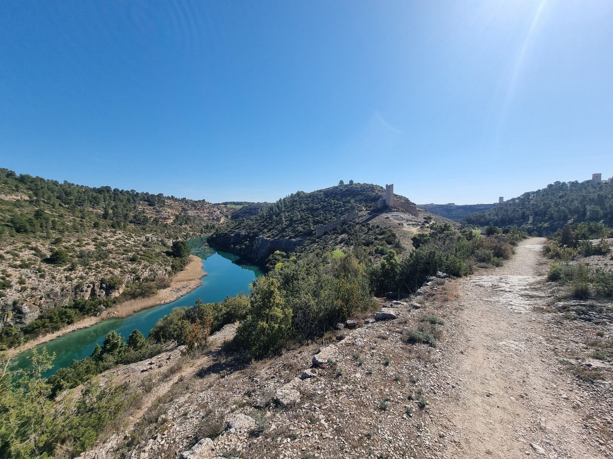
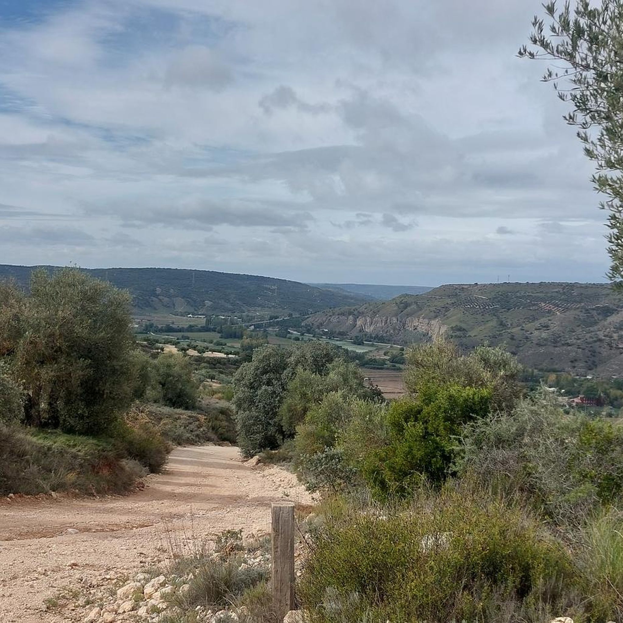
Hiking around Fuentidueña De Tajo offers exploration of a region defined by the Tajo River and diverse ecosystems. The landscape features riverside environments, ancient Vías Pecuarias (livestock trails), and varied terrain including rocky outcrops, juniper and pine forests, and valley floors with riparian vegetation. These natural elements provide a range of hiking experiences.
Best hiking trails around Fuentidueña De Tajo
- The most popular hiking route is Esparto Trail loop from Villarejo de Salvanés, a 7.3 miles (11.8 km) trail…
Last updated: July 11, 2026
5.0
(1)
4
hikers
11.8km
03:11
150m
150m
Moderate hike. Good fitness required. Easily-accessible paths. Suitable for all skill levels.
4.6
(5)
4
hikers
7.89km
02:05
70m
70m
Moderate hike. Good fitness required. Easily-accessible paths. Suitable for all skill levels.

Sign up for free
2
hikers
7.09km
01:49
30m
30m
Easy hike. Great for any fitness level. Easily-accessible paths. Suitable for all skill levels.
1
hikers
9.08km
02:29
150m
150m
Moderate hike. Good fitness required. Easily-accessible paths. Suitable for all skill levels.
3
hikers
Easy hike. Great for any fitness level. Easily-accessible paths. Suitable for all skill levels.
Get access to more routes and recommendations from other explorers.
Sign up for free
Already have an account?
Our route recommendations are based on thousands of hikes, rides, and runs completed by other people on komoot.
Start today with a free account
Your next adventure awaits.
Login or Signup

Other adventures around Fuentidueña De Tajo

Tips from the Community

For its tower, which is worth visiting, and its tree-lined plaza where you can relax in the shade.
0
0

The current town of Villamanrique de Tajo emerged in the 15th century under the protection of the old fortress of Albuher, which was one of the castles and strongholds built in the 10th century by the Arabs during the rule of the Caliphate of Córdoba on the border of the Tagus River. The hamlet has a rural and peasant character, with linear streets and white facades in the great plain of the Tagus River, and is made up of the town centre itself and the agricultural centres of Buenamesón and Castillo de Tajo. The social centre is the Plaza de la Constitución, where the Town Hall is located, and the starting point of several hiking routes.
0
0
The Peirones de Santa María mark a change of atmosphere, the path descends from the olive groves and runs along some slopes populated by large esparto vines until it connects with the ancient Vía del Esparto, a primitive Roman road that ran through the centre of the peninsula and was used to transport esparto products and other products from the Las Vegas region to the markets of the city of Madrid.
0
0
This is the name given to the remains of a medieval sanctuary from the High Middle Ages built opposite the Santa María site, isolated on a hill with a magnificent view of the San Pedro valley. The old church had two naves and due to the size of the complex and its location it could have served as a fortress and a surveillance post.
0
0
The ruins of the ancient settlement of Santa María are on a barren hill among the olive groves of Villarejo de Salvanés. It was a Carpetanian fort and was inhabited for four thousand years, in the Bronze Age, until the 13th century, when the inhabitants moved towards the agricultural wasteland where the town is currently located.
0
0
The Tower is the icon of Villarejo de Salvanés, it is a unique model of a keep among the constructions of medieval fortresses. Around it there are remains of the walls and rooms that completed the complex of the old castle of the town, occupied for several centuries by the knights of the Order of Santiago. The Plaza de la Constitución concentrates a good part of the monumental Villarejo de Salvanés, opposite the Tower is the church of San Andrés Apóstol, imposing and with tower-shaped buttresses that give a defensive appearance to the building. And one corner is occupied by the Casa de la Tercia, headquarters of the Encomienda Mayor de Castilla and current Ethnographic Museum. An interesting place for fans of the seventh art is the Museo del Cine, the first professional film museum in Spain.
0
0

It is a shame that only the keep of the entire walled building is preserved, but it is also fortunate to miss out on enjoying this architectural beauty, whose shape is peculiar and unusual in this type of fortress.
1
0

Villamanrique de Tajo is a quiet town in the Madrid region of Las Vegas. Among its places of interest are the ruins of the castle of Alboer or the beautiful river park on the banks of the Tagus.
1
0
Frequently Asked Questions
How many hiking trails are there in Fuentidueña De Tajo?
Fuentidueña de Tajo offers a selection of 11 hiking routes. These trails vary in length and difficulty, providing options for different preferences.
What types of terrain can I expect on hikes in Fuentidueña De Tajo?
The region features diverse terrain, including picturesque riverside landscapes along the Tajo River, ancient Vías Pecuarias (livestock trails), and varied ecosystems. You'll encounter rocky outcrops, juniper and pine forests, and valley floors with riparian vegetation, agricultural lands, and olive groves.
Are there any easy hiking routes suitable for beginners or families?
Yes, there are 4 easy routes in the area. One option is the Villamanrique de Tajo loop from Villamanrique de Tajo, which is 7.1 km long and takes about 1 hour 49 minutes, leading through pleasant riverside areas.
What are some notable landmarks or attractions I can see while hiking?
Hikers can explore several interesting points. The historic Castle of Villarejo de Salvanés offers historical intrigue and panoramic views. You might also encounter the distinctive Iron Bridge of Fuentidueña de Tajo over the Tajo River, or the Villamanrique de Tajo Viaduct.
Are there any circular hiking routes in Fuentidueña De Tajo?
Yes, many routes in the area are circular. For example, the Esparto Trail loop from Villarejo de Salvanés is a moderate 11.8 km circular route, and the Hiking loop from Villarejo de Salvanés is another popular moderate option at 7.9 km.
What is the best time of year to go hiking in Fuentidueña De Tajo?
Fuentidueña de Tajo is suitable for hiking for much of the year. Spring and autumn generally offer the most pleasant temperatures for exploring the diverse landscapes, avoiding the peak heat of summer and potential chill of winter.
Can I bring my dog on the hiking trails?
Many of the natural trails and Vías Pecuarias in Fuentidueña de Tajo are suitable for dogs, provided they are kept under control. Always check local regulations or specific trail signage for any restrictions, especially in protected areas or near wildlife habitats.
Are there opportunities to see wildlife while hiking?
The diverse ecosystems around Fuentidueña de Tajo, including the Tajo river basin, support various wildlife. The area is particularly known for raptor species such as the golden eagle, Bonelli's eagle, Egyptian vulture, and griffon vulture, making it an interesting spot for birdwatching.
What do other hikers say about the trails in Fuentidueña De Tajo?
The routes in Fuentidueña de Tajo are highly rated by the komoot community, with an average score of 4.7 stars from 8 reviews. Hikers often praise the varied terrain and the natural beauty of the Tajo River and surrounding forests.
Are there any longer hiking routes for experienced hikers?
For those seeking a longer experience, the Camino de Uclés – Estremera loop from Estremera is a moderate 13.8 km route. It offers a good distance for a more extended hike, typically taking over 3.5 hours to complete.
Is public transport available to reach the trailheads?
While specific public transport details to every trailhead are not provided, Fuentidueña de Tajo is accessible by public transport from Madrid, which can serve as a starting point for reaching the general area. It's advisable to check local bus schedules for connections to specific villages or trail access points.
Where can I find parking for hiking trails in Fuentidueña De Tajo?
Parking is generally available in the towns and villages near the trailheads, such as Villarejo de Salvanés or Estremera. Look for designated parking areas within these communities before starting your hike.
Most popular routes around Fuentidueña De Tajo
Most popular attractions around Fuentidueña De Tajo

Get inspired with the komoot mobile app


Explore more
Browse the best Hikes in other regions.
