The best cycling routes around Réserve Naturelle du delta de la Sauer
4.5
(3450)
18,977
riders
461
rides
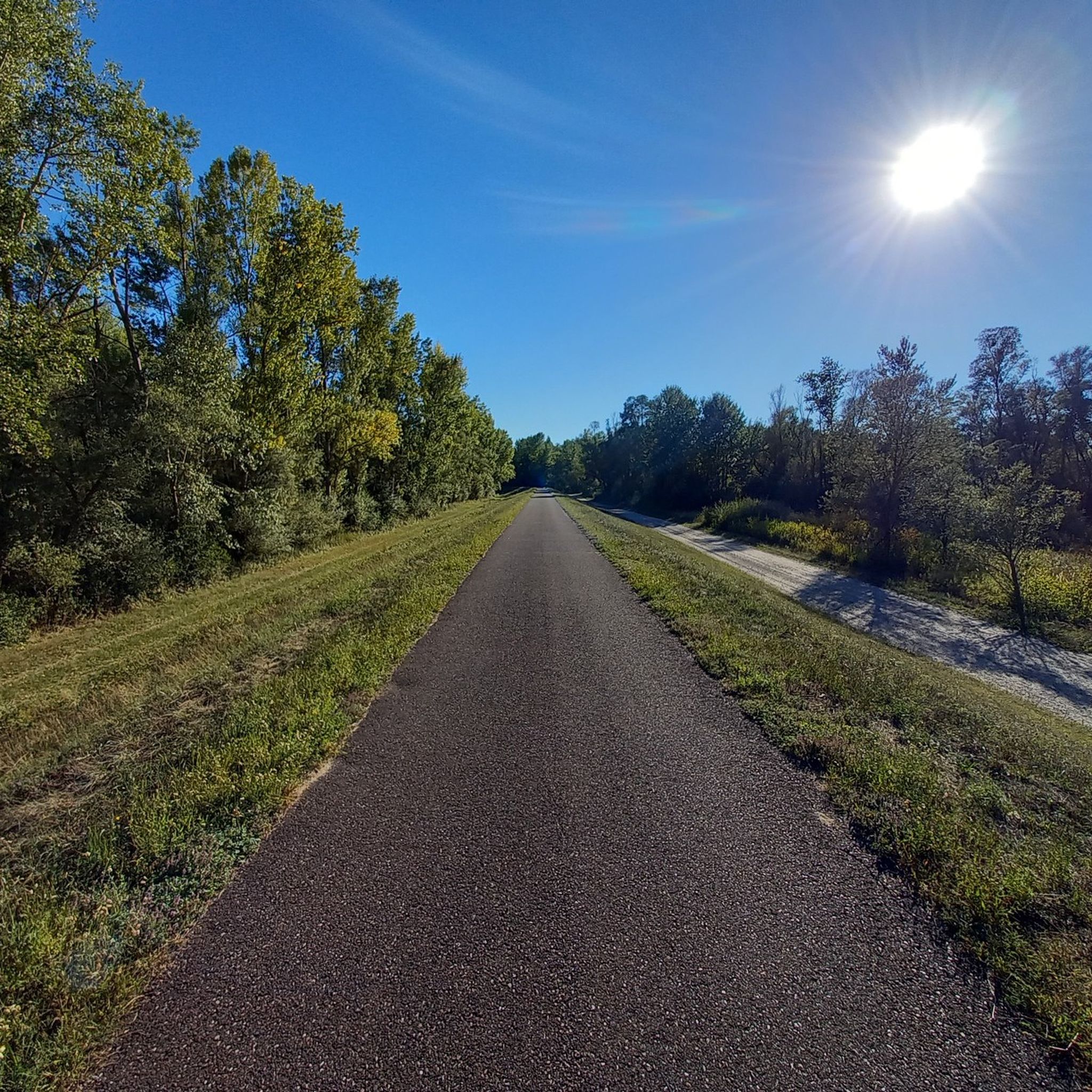
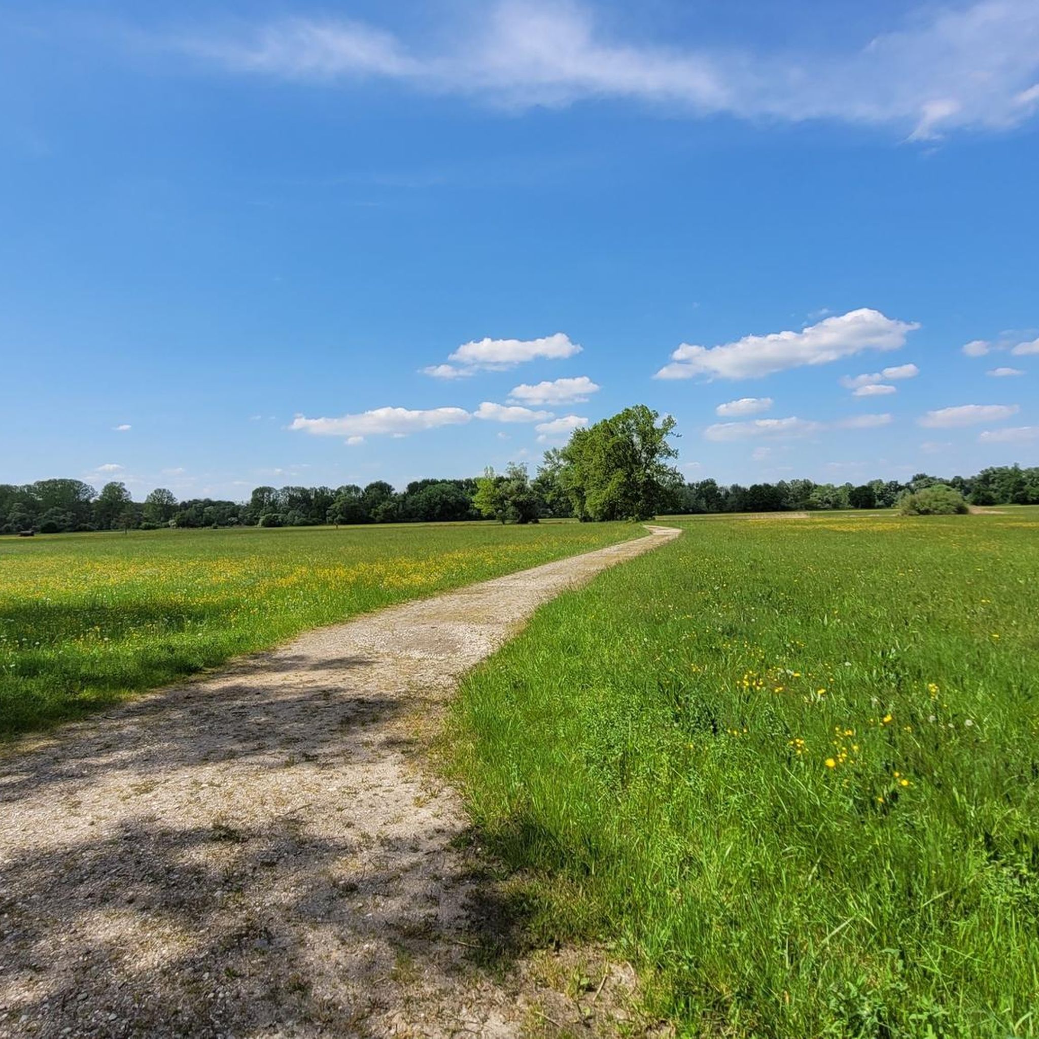
Touring cycling around Réserve Naturelle du delta de la Sauer offers routes through diverse natural landscapes shaped by the Sauer River and the Rhine. The terrain primarily features floodplain meadows, alluvial forests, and extensive reed beds, with well-maintained bike paths often traversing dikes. While many routes are on paved surfaces, some sections may include unpaved paths. The region's flat topography makes it suitable for various fitness levels, with minimal elevation changes.
Best touring cycling routes around Réserve Naturelle du delta…
Last updated: July 4, 2026
4.7
(62)
448
riders
32.7km
01:50
60m
60m
Easy bike ride. Great for any fitness level. Mostly paved surfaces. Suitable for all skill levels.
4.4
(8)
73
riders
Easy bike ride. Great for any fitness level. Mostly paved surfaces. Suitable for all skill levels.

Sign up for free
4.5
(13)
66
riders
27.7km
01:35
60m
60m
Easy bike ride. Great for any fitness level. Mostly paved surfaces. Suitable for all skill levels.
4.3
(4)
40
riders
Easy bike ride. Great for any fitness level. Mostly paved surfaces. Suitable for all skill levels.
4.5
(2)
26
riders
17.0km
00:58
40m
40m
Easy bike ride. Great for any fitness level. Mostly paved surfaces. Suitable for all skill levels.
Get access to more routes and recommendations from other explorers.
Sign up for free
Already have an account?
Our route recommendations are based on thousands of hikes, rides, and runs completed by other people on komoot.
Start today with a free account
Your next adventure awaits.
Login or Signup
Popular around Réserve Naturelle du delta de la Sauer
Tips from the Community

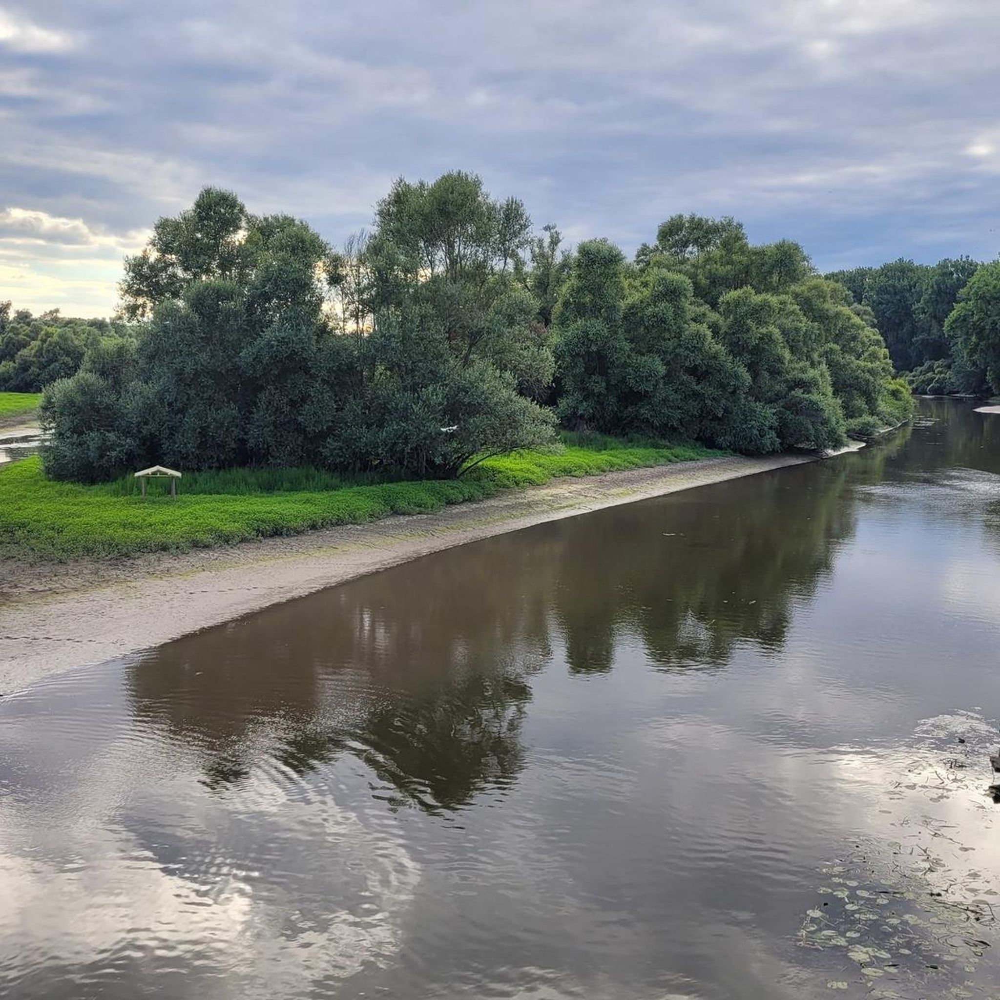
The Rhine itself is not directly visible here, but rather a harbor basin or an old Rhine arm. The Rhine is not far away, however.
1
0

The Rhine is one of the most important rivers in Europe and has a length of approximately 1,233 km. Its source lies in the Swiss Alps, where it originates from several mountain streams. From there, it first flows through Switzerland and then partly forms the border between Germany and France, before continuing through Germany and finally the Netherlands. Near Rotterdam, the Rhine divides into several distributaries and finally reaches the North Sea. Its catchment area is very large (approx. 185,000 km²) and includes many tributaries such as the Moselle, Main, or Neckar. The Rhine is of great importance to Europe: Shipping: One of the most important waterways in the world for trade and transport Economy: Connection of many industrial and port cities Nature: Habitat for numerous animal and plant species Energy: Utilization through hydropower in the Alpine regions Due to its location and use, the Rhine is considered one of the most important lifelines of Central Europe.
0
0
The Rhine is one of Europe's most important rivers and has a length of approximately 1,233 km. Its source lies in the Swiss Alps, where it originates from several mountain streams. From there, it first flows through Switzerland and then partly forms the border between Germany and France, before continuing through Germany and finally the Netherlands. Near Rotterdam, the Rhine divides into several distributaries and finally reaches the North Sea. Its drainage basin is very large (approx. 185,000 km²) and includes many tributaries such as the Moselle, Main, or Neckar. The Rhine is of great importance to Europe: Shipping: One of the world's most important waterways for trade and transport Economy: Connection of many industrial and port cities Nature: Habitat for numerous animal and plant species Energy: Utilization through hydropower in the Alpine regions Due to its location and use, the Rhine is considered one of Central Europe's most vital lifelines.
0
0
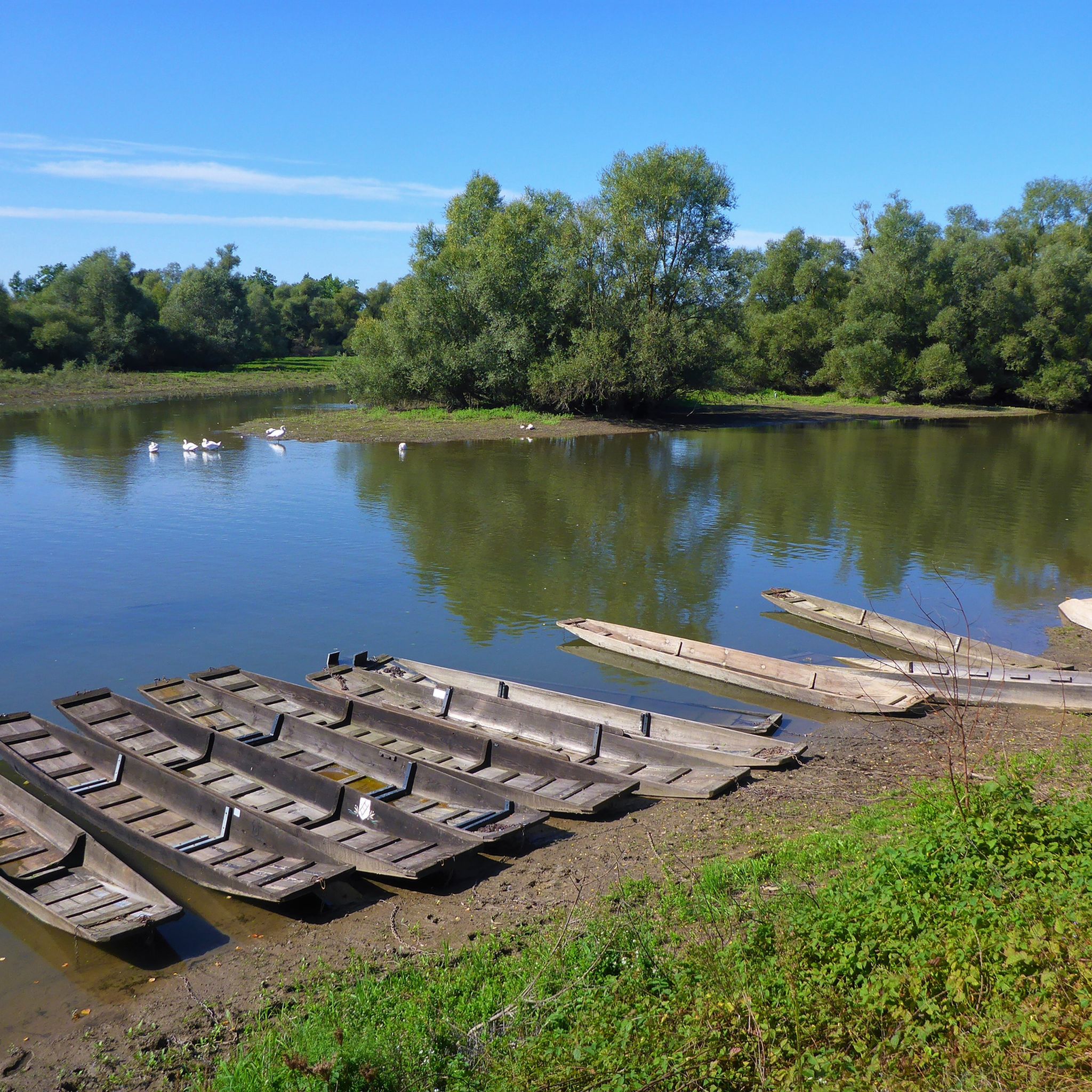
Willow scrub, marshy areas and reeds – the Sauer Delta nature reserve is an unusual landscape! It was declared a nature reserve by ministerial decree in 1997 and 486 hectares were protected. From an ornithological, botanical and landscape perspective, it is a truly exceptional area and one of the last regions in France where the Rhine floodwaters can still spread out.
0
0
The cable ferry ''Saletio'' is unique in its kind. A cable system whose principle is to use the sole force of the current to move. It connects the two banks Seltz (FR) with Plittersdorf (DE). It can transport 70 passengers, 28 bicycles and 6 vehicles. Motorhomes and caravans are not allowed on the ferry. The ferry is free.
0
1
The cable ferry "Saletio" is unique in its kind. A cable system whose principle consists in using the sole force of the current to move. It connects the two banks Seltz (FR) with Plittersdorf (DE). It can transport 70 passengers, 28 bicycles and 6 vehicles. Motorhomes and caravans are not allowed on the ferry. The ferry is free.
0
0

Magnificent view of the Rhine.
0
0
Beautiful path along the Rhine.
0
0
Frequently Asked Questions
How many touring cycling routes are available in Réserve Naturelle du delta de la Sauer?
There are over 460 touring cycling routes available in Réserve Naturelle du delta de la Sauer, catering to various skill levels. You'll find 291 easy routes, 121 moderate, and 55 difficult options.
What kind of terrain can I expect on touring cycling routes in the Sauer Delta?
The terrain primarily features floodplain meadows, alluvial forests, and extensive reed beds. Many well-maintained bike paths traverse dikes, offering mostly paved surfaces. However, some routes might include unpaved sections, and paths can become stony or washed out after heavy rains, so appropriate tires are recommended for varied conditions.
Are there easy touring cycling routes suitable for beginners or families?
Yes, the region is well-suited for easy rides, with 291 routes classified as easy. For instance, the Sauer Delta – Rest stop at the Sauer Delta loop from Munchhausen is an easy 6.5-mile (10.5 km) path that explores the heart of the delta's unique ecosystems, perfect for a relaxed family outing.
What are some notable natural features or wildlife I might encounter while cycling?
The reserve is rich in biodiversity. You can expect to see diverse ecosystems like floodplain meadows, alluvial forests, and extensive reed beds. It's an ornithological hotspot, home to 183 bird species, including bluethroats, penduline tits, and black kites. Egrets and swans are commonly sighted, especially near the Bridge over the Sauer.
Are there any circular touring cycling routes in the area?
Yes, many routes in the Réserve Naturelle du delta de la Sauer are circular. An example is the Along the Rhine – Rhine Cycle Path loop from Rastatter Rheinaue, an easy 20.3-mile (32.7 km) trail that follows the Rhine Cycle Path, offering scenic river views.
What are the best times of year to go touring cycling in the Réserve Naturenelle du delta de la Sauer?
The reserve is enjoyable for cycling throughout much of the year. Spring and autumn offer pleasant temperatures and vibrant natural scenery. While some paths might become stony or washed out after heavy rains, the region's flat topography makes it accessible in various conditions, though dike cycle paths are best after wet weather.
What attractions or landmarks can I see along the touring cycling routes?
Beyond the natural beauty, you can visit the Sauer Delta Nature Reserve itself, which offers impressive vistas of the Northern Vosges mountains and the Black Forest. The Bridge over the Sauer is a picturesque spot, and you'll find interpretive trails like "L'homme et le Rhin, des vies en commun" (Man and the Rhine, Shared Lives) with information panels.
Where can I find parking for touring cycling routes in the Réserve Naturelle du delta de la Sauer?
While specific parking locations for each route aren't detailed, many routes, such as those starting from Munchhausen or Rastatter Rheinaue, typically have designated parking areas nearby. It's advisable to check the starting points of individual routes on komoot for precise parking information.
Are there options for longer touring cycling trips, perhaps involving transboundary routes?
Yes, the region offers opportunities for longer rides, including transboundary routes that incorporate ferries, allowing exploration of varied landscapes along the Rhine. The "Véloroute de la vallée de la Sauer" (Sauer Valley Cycle Route) also provides a journey through rich historical and natural heritage between Lembach and Seltz.
What do other cyclists say about touring cycling in Réserve Naturelle du delta de la Sauer?
The area is highly rated by the komoot community, with an average score of 4.5 stars from over 3,100 reviews. Cyclists often praise the diverse natural landscapes, the well-maintained bike paths, and the peaceful atmosphere of the floodplain meadows and alluvial forests.
What should I be aware of regarding path conditions, especially after rain?
After heavy rains, some paths might become stony or washed out. For these conditions, using appropriate tires is suggested. Alternatively, sticking to the dike cycle paths, which are generally more resilient to wet weather, is a good option.
Are there any visitor centers or interpretive trails to enhance my visit?
Yes, the "Maison de la Nature du Delta de la Sauer" (Nature House of the Sauer Delta) serves as a visitor center, offering a comprehensive understanding of the local environment. Additionally, an interpretive trail, "L'homme et le Rhin, des vies en commun," features information panels explaining the site's ecological and historical context.
Can I find cafes or rest stops along the touring cycling routes?
While specific cafes are not listed for every route, the presence of visitor centers like the Maison de la Nature du Delta de la Sauer often implies amenities. Given the popularity of cycling, you can typically find places to rest and refuel in the villages and towns adjacent to the reserve, such as Munchhausen or Seltz.
Most popular routes around Réserve Naturelle du delta de la Sauer
Most popular attractions around Réserve Naturelle du delta de la Sauer

Get inspired with the komoot mobile app


Explore more
Browse the best Cycling routes in other regions.
