The best MTB trails around Réserve Naturelle du delta de la Sauer
4.5
(492)
1,841
riders
180
rides
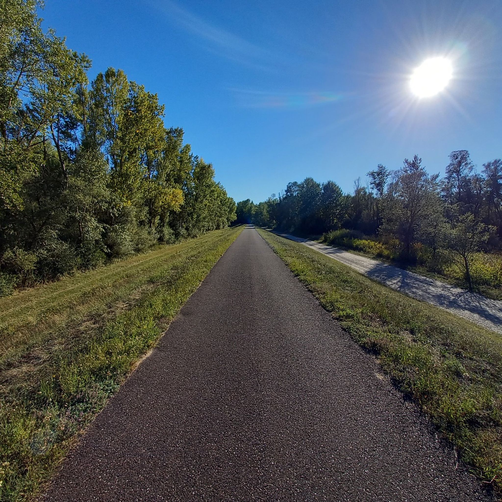
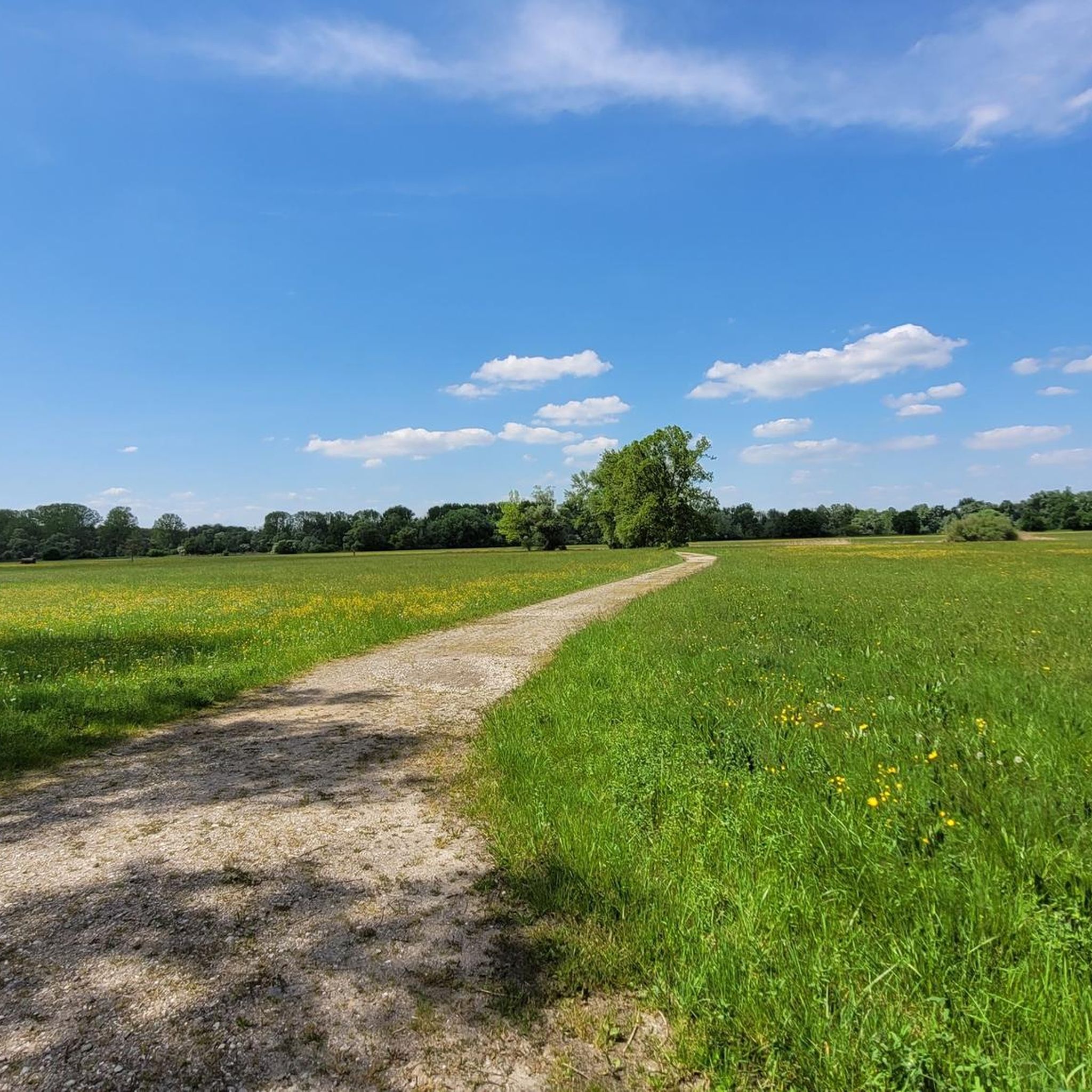
Mountain biking around Réserve Naturelle du delta de la Sauer features routes primarily through flat river delta landscapes. The terrain is characterized by extensive floodplains, riverbanks, and natural reserve areas, offering generally low elevation gains. Mountain bike trails often follow the Rhine and Sauer rivers, providing scenic paths through a mix of open areas and riparian vegetation.
Best mountain bike trails around Réserve Naturelle du delta de la Sauer
- The most popular mountain bike trail is Dam bicycle path –…
Last updated: July 4, 2026
5.0
(2)
7
riders
Easy mountain bike ride. Great for any fitness level. Suitable for all skill levels.
3
riders
23.2km
01:23
130m
130m
Easy mountain bike ride. Great for any fitness level. Suitable for all skill levels.

Sign up for free
3
riders
14.1km
00:59
90m
90m
Easy mountain bike ride. Great for any fitness level. Suitable for all skill levels.
5.0
(5)
31
riders
34.4km
01:56
70m
70m
Easy mountain bike ride. Great for any fitness level. Suitable for all skill levels.
4.7
(7)
13
riders
34.5km
02:09
170m
170m
Moderate mountain bike ride. Good fitness required. Advanced riding skills necessary.
Get access to more routes and recommendations from other explorers.
Sign up for free
Already have an account?
Our route recommendations are based on thousands of hikes, rides, and runs completed by other people on komoot.
Start today with a free account
Your next adventure awaits.
Login or Signup
Popular around Réserve Naturelle du delta de la Sauer
Tips from the Community

The Sauer is an approximately 70 km long tributary of the Rhine. It originates in the Palatinate Forest near the German-French border. On its way, it flows through the Northern Vosges and partly forms the border between Germany and France. It then crosses Alsace before flowing into the Rhine at Munchhausen. The Sauer has a catchment area of about 800 km² and an average discharge of around 6 m³ per second.
0
0
The Sauer is an approximately 70 km long tributary of the Rhine. It originates in the Palatinate Forest near the Franco-German border. On its way, it flows through the Northern Vosges and partly forms the border between Germany and France. It then crosses Alsace before flowing into the Rhine near Munchhausen. The Sauer has a catchment area of approximately 800 km² and an average discharge of about 6 m³ per second.
0
0
The Sauer is a tributary of the Rhine, approximately 70 km long. It originates in the Palatinate Forest near the Franco-German border. On its course, it flows through the Northern Vosges and partly forms the border between Germany and France. It then crosses Alsace before flowing into the Rhine near Munchhausen. The Sauer has a catchment area of about 800 km² and an average discharge of around 6 m³ per second.
0
0
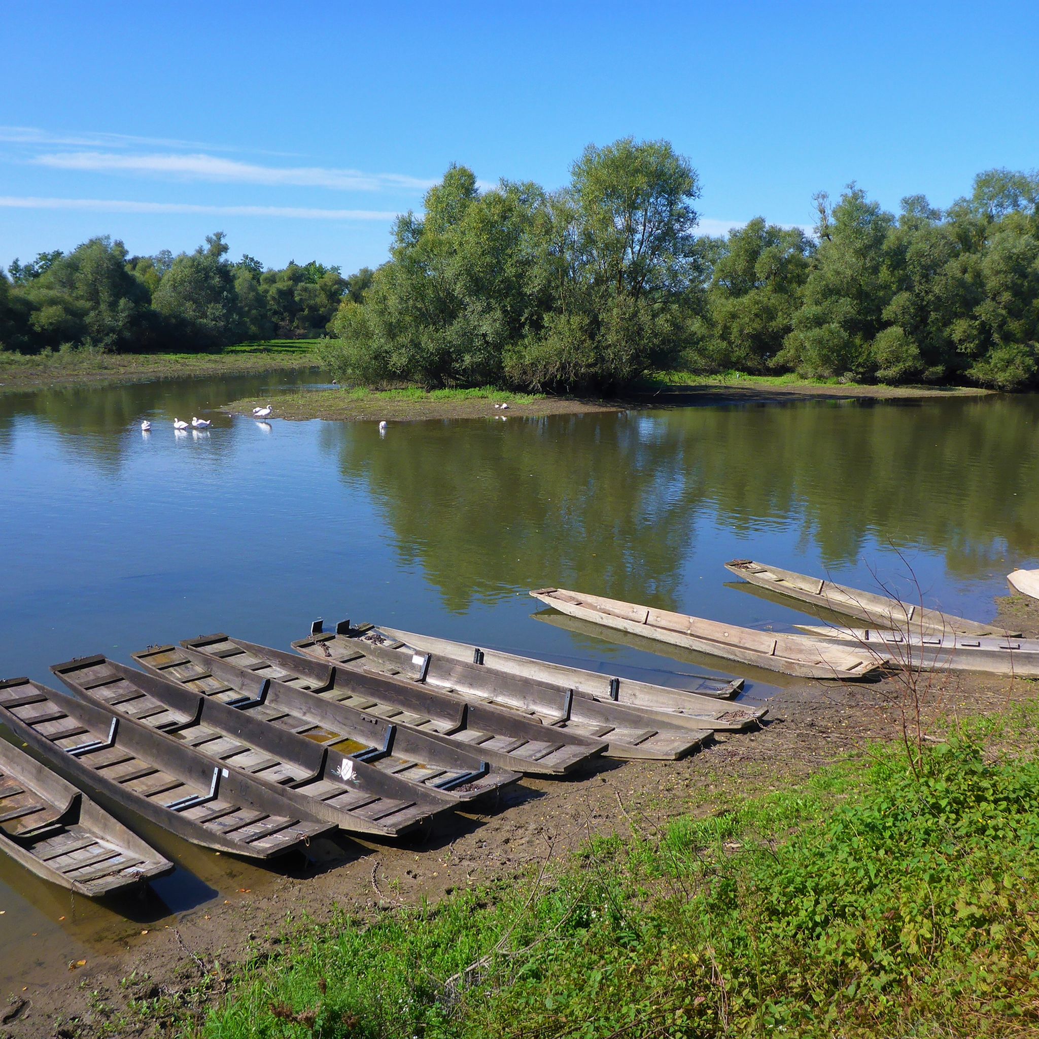
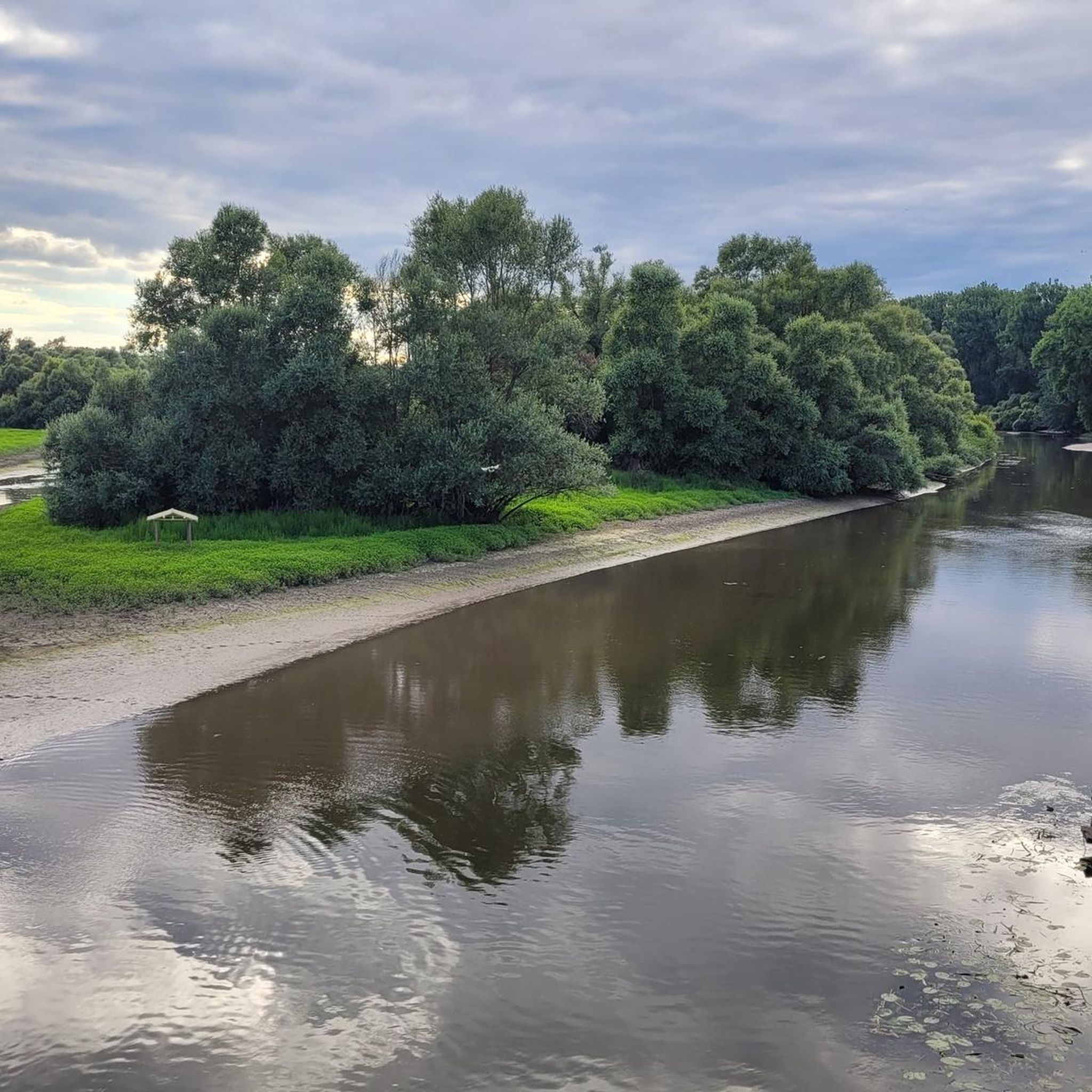
Willow bushes, marshy areas and reeds - the Sauer Delta nature reserve is an unusual landscape! It was declared a nature reserve by ministerial decree in 1997 and 486 ha were protected. From an ornithological, botanical and landscape perspective, it is a truly exceptional area and one of the last regions in France where the Rhine floodwaters can still spread out.
0
0
Willow bushes, marshy areas and reeds – the Sauer Delta nature reserve is an unusual landscape! It was declared a nature reserve by ministerial decree in 1997, protecting 486 hectares. From an ornithological, botanical and landscape perspective, it is an absolutely exceptional area and one of the last regions in France where the Rhine floodwaters can still spread out.
0
0
The "Saletio" cable ferry is unique in its kind. A cable system whose principle consists of using the sole force of the current to move. It connects the two banks Seltz (FR) with Plittersdorf (DE). It can transport 70 passengers, 28 bicycles, and 6 vehicles. Motorhomes and caravans are not allowed on the ferry. The ferry is free.
0
0

The majestic church dominates the town of Lauterbourg. Worth seeing are the medieval bell tower, the Gothic choir - which dates from the mid-15th century.
0
0

Ancient willows, pruned so they can continue to survive.
0
0
Frequently Asked Questions
How many mountain bike trails are available in Réserve Naturelle du delta de la Sauer?
There are over 160 mountain bike trails available in the Réserve Naturelle du delta de la Sauer region. These routes cater to various skill levels, from easy, flat loops to more moderate, longer distances.
What kind of terrain can I expect on mountain bike trails in the Réserve Naturelle du delta de la Sauer?
The terrain is primarily characterized by flat river delta landscapes, extensive floodplains, and riverbanks. Trails often follow the Rhine and Sauer rivers, offering scenic paths through a mix of open areas and riparian vegetation with generally low elevation gains.
Are there mountain bike trails suitable for beginners in the Réserve Naturelle du delta de la Sauer?
Yes, the region offers a good selection of beginner-friendly trails. Approximately 60 of the routes are rated as easy, making them ideal for those new to mountain biking or looking for a relaxed ride. An example is the Münchhausen Memorial – Dam bicycle path loop from Munchhausen, an easy 8.7-mile (13.9 km) path.
Are there any family-friendly mountain bike routes in the area?
Many of the easy and flat routes along the riverbanks are suitable for families. These trails often have minimal elevation changes and provide a pleasant experience for riders of all ages. Look for routes marked as 'easy' on komoot for the best family options.
Where can I find parking for mountain biking near Réserve Naturelle du delta de la Sauer?
Parking is typically available in the villages and towns adjacent to the nature reserve, such as Munchhausen and Seltz, which serve as common starting points for many trails. Specific parking details are often provided on individual route pages on komoot.
Are there any circular mountain bike routes in the Réserve Naturelle du delta de la Sauer?
Yes, many of the mountain bike trails in the region are designed as loops, allowing you to start and end at the same point. Examples include the popular Dam bicycle path – Along the Rhine loop from Munchhausen and the Greffern Rhine Ferry – Seltz–Plittersdorf Cable Ferry loop from Seltz.
What are some interesting sights or landmarks I can see while mountain biking?
While mountain biking, you can explore various natural and historical points of interest. Highlights include the Sauer Delta Nature Reserve itself, the Rhine Cycle Route at Beinheim, and the Bridge over the Sauer. Many routes also offer views of the Rhine and its floodplains.
What do other mountain bikers say about the trails in Réserve Naturelle du delta de la Sauer?
The trails in Réserve Naturelle du delta de la Sauer are highly rated by the komoot community, with an average score of 4.5 stars from over 440 reviews. Reviewers often praise the scenic river views, the flat and accessible terrain, and the peaceful natural environment.
When is the best time of year to go mountain biking in the Réserve Naturelle du delta de la Sauer?
The spring, summer, and early autumn months (April to October) generally offer the most pleasant conditions for mountain biking, with milder temperatures and less chance of heavy rainfall. The flat terrain makes it enjoyable even after light rain, but always check local weather forecasts.
Is it possible to go mountain biking in the Réserve Naturelle du delta de la Sauer during winter?
Winter mountain biking is possible, especially on the well-maintained dam paths and flatter sections. However, be prepared for colder temperatures, potentially icy conditions, and shorter daylight hours. Some unpaved sections might be muddy. Always check local conditions before heading out.
Are there any longer, more challenging mountain bike routes for experienced riders?
While the region is known for its flat terrain, there are moderate routes that offer longer distances and slightly more varied surfaces, providing a good challenge for experienced riders. For example, the Sauer Delta Nature Reserve – Rhine Ferry Alsace loop from Seltz is a moderate 34.5-mile (34.5 km) route.
Can I find places to eat or drink near the mountain bike trails?
Yes, the villages and towns surrounding the Réserve Naturelle du delta de la Sauer, such as Munchhausen and Seltz, offer various options for refreshments, including cafes, restaurants, and bakeries. Many routes pass through or near these settlements, making it convenient to stop for a break.
Most popular routes around Réserve Naturelle du delta de la Sauer
Most popular attractions around Réserve Naturelle du delta de la Sauer

Get inspired with the komoot mobile app


Explore more
Browse the best MTB trails in other regions.
