The best MTB trails around Santa Brígida
4.4
(271)
2,766
riders
108
rides
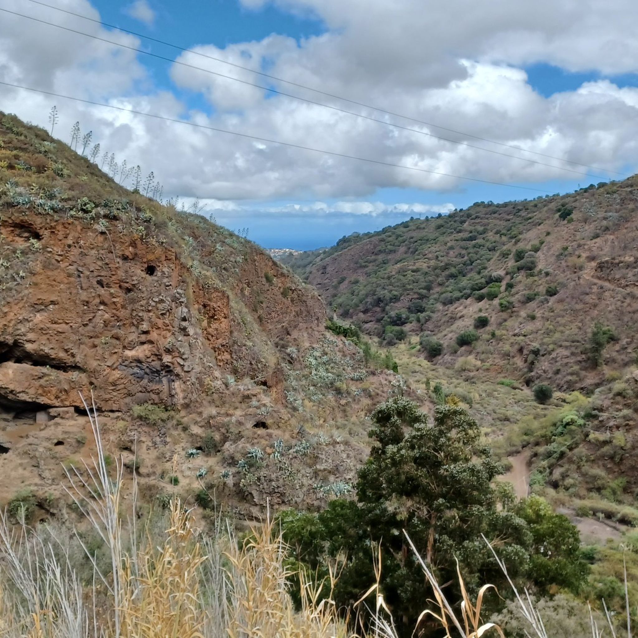
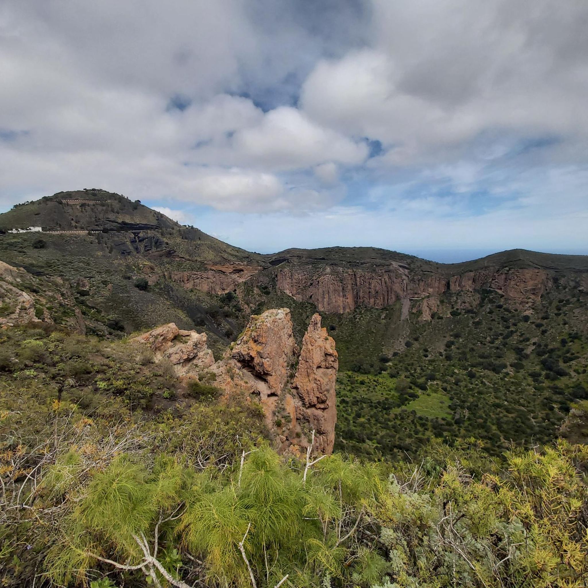
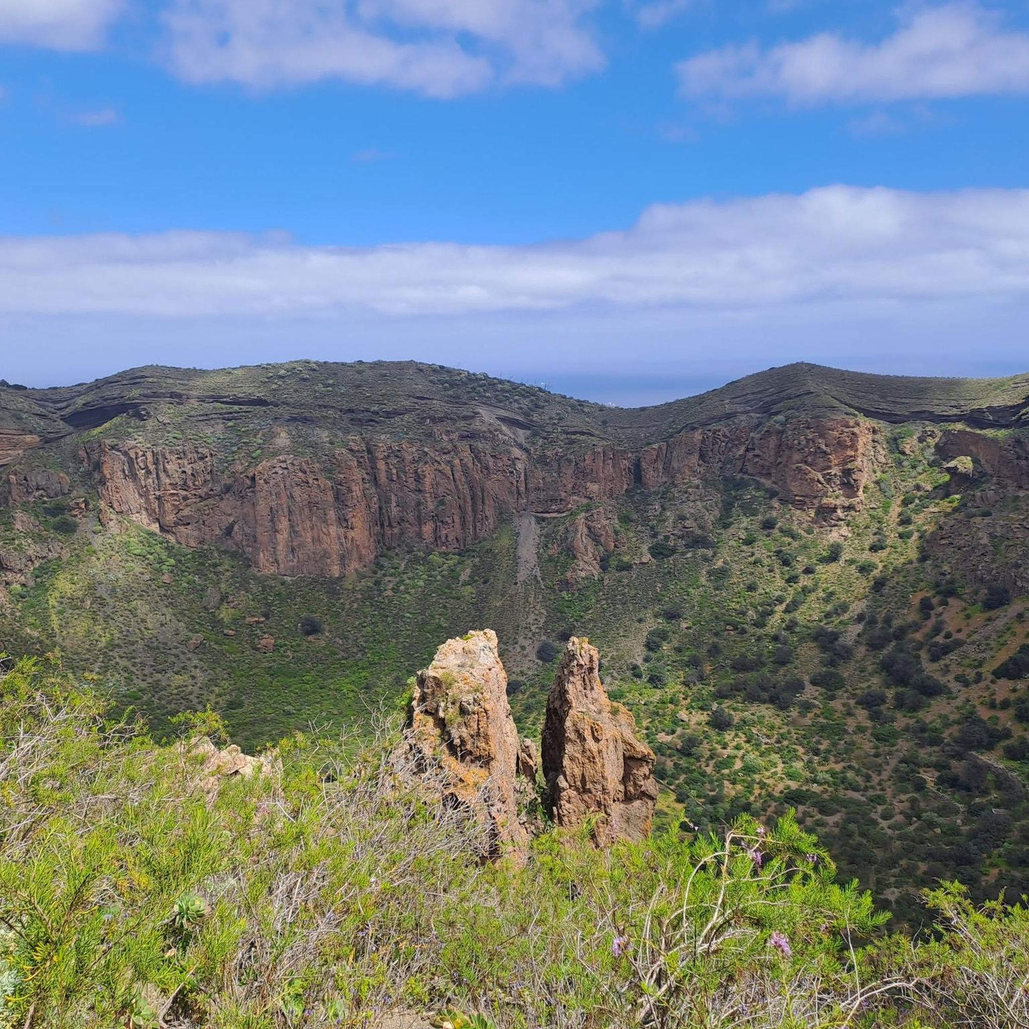
Mountain biking around Santa Brígida, Gran Canaria, offers diverse terrain shaped by its volcanic past, featuring challenging ascents and thrilling descents. The region is characterized by numerous barrancos, or ravines, such as Barranco de Guiniguada, which provide exciting paths through impressive rock formations and lush vegetation. Riders can experience varied ecosystems, from Mediterranean trees in lower areas to humid laurel forests at higher altitudes, with significant natural monuments like the Bandama Caldera enhancing the landscape.
Best mountain bike trails around Santa Brígida
- The most popular mountain bike trail is Barranco de Guiniguada – Santa Catalina Park loop from San José de Las Vegas, a 31.8 miles (51.3 km) moderate trail that takes 3 hours 55 minutes to complete, offering varied terrain through the Guiniguada ravine.
- Another top favourite among local mountain bikers is Barranco de Guiniguada – Picnic Area in Canyon loop from Monte Lentiscal, a difficult 35.0 miles (56.4 km) path. This route features significant elevation gain through the scenic barrancos.
- Local mountain bikers also love the Mountainbike loop from Santa Brígida, a 10.0 miles (16.1 km) trail leading through varied landscapes, often completed in about 1 hour 10 minutes.
- Mountain biking around Santa Brígida is defined by volcanic terrain, deep barrancos, and diverse vegetation, including laurel forests and palm groves. The network offers options for different ability levels, from easy loops to challenging, long-distance routes.
- The routes in Santa Brígida are highly rated by the komoot community with an average score of 4.3 stars from over 250 reviews. More than 2,900 mountain bikers have used komoot to explore Santa Brígida's varied terrain.
Last updated: July 1, 2026
4.6
(37)
165
riders
50.3km
03:52
720m
720m
Moderate mountain bike ride. Good fitness required. Suitable for all skill levels.
4.0
(2)
21
riders
56.4km
04:46
1,290m
1,290m
Hard mountain bike ride. Very good fitness required. Suitable for all skill levels.

Sign up for free
3.0
(1)
21
riders
Easy mountain bike ride. Great for any fitness level. Suitable for all skill levels.
5.0
(5)
13
riders
20.2km
02:54
1,000m
1,000m
Hard mountain bike ride. Very good fitness required. Advanced riding skills necessary. Some portions of the route may require you to push your bike.
5.0
(2)
16
riders
Moderate mountain bike ride. Good fitness required. Suitable for all skill levels.
Get access to more routes and recommendations from other explorers.
Sign up for free
Already have an account?
Our route recommendations are based on thousands of hikes, rides, and runs completed by other people on komoot.
Start today with a free account
Your next adventure awaits.
Login or Signup

Tips from the Community

After the descent, you have to go through the village; the cross-country route through the fields is not possible. The path is privately closed.
0
0


Beautiful botanical garden, lots of various plants from all around the world
0
0

This really beautiful botanical garden is free to enter! Please note: dogs are not allowed in the park! I was impressed by this botanical garden with its large variety of different plants and birds! https://www.bloggmaus.de/2018/12/jardin-botanico-canario-viera-y-clavijo.html?m=1
3
0
Yes, there is a beautiful view here too…
1
0

Clean toilet. Open when the botanical garden is open
0
0
There is a clean toilet here. In the park there are many endemic plants from the Canary Islands, some of which only occur here
0
0

Frequently Asked Questions
How many mountain bike trails are there around Santa Brígida?
Santa Brígida offers a wide network of over 120 mountain bike trails. These routes cater to various skill levels, from easy loops to challenging, long-distance rides.
What kind of terrain can I expect on mountain bike trails in Santa Brígida?
The terrain around Santa Brígida is highly varied due to its volcanic origin. You'll encounter challenging ascents and thrilling descents through volcanic gorges and hillsides. Trails often feature unpaved segments, winding paths through barrancos (ravines) like Barranco de Guiniguada, and diverse vegetation ranging from Mediterranean trees to humid laurel forests at higher altitudes.
Are there mountain bike trails suitable for beginners in Santa Brígida?
Yes, Santa Brígida has trails suitable for beginners. For example, the Mountainbike loop from Santa Brígida is an easy 16.1 km (10.0 miles) route with a moderate elevation gain, typically completed in about 1 hour and 10 minutes, making it a great option for those new to mountain biking.
What are some challenging mountain bike routes for experienced riders?
Experienced riders looking for a challenge will find plenty of options. The Barranco de Guiniguada – Picnic Area in Canyon loop from Monte Lentiscal is a difficult 56.4 km (35.0 miles) route featuring significant elevation gain through scenic barrancos. Another demanding option is the Caldera de los Marteles – View of Roque Bentayga loop from Valsequillo de Gran Canaria, a difficult 20.2 km (12.6 miles) trail with nearly 1,000 meters of elevation gain.
What natural features or landmarks can I see along the mountain bike trails?
Many trails offer stunning natural features. You can ride near the dramatic Bandama Caldera, explore the lush Azuaje Gorge, or pass by the Entrance to the Guiniguada Ravine. Some routes also provide panoramic views, such as the View of Roque Nublo and Teide (Tenerife).
Are there any waterfalls accessible by mountain bike in the area?
Yes, some routes in the gorges around Santa Brígida can lead you to waterfalls. For instance, the Large Waterfall is a notable highlight in the region, often found within the barrancos and gorges that characterize the landscape.
What is the best time of year for mountain biking in Santa Brígida?
Santa Brígida enjoys a mild climate year-round, making it suitable for mountain biking in most seasons. However, the diverse vegetation and microclimates mean conditions can vary. Generally, the cooler months from autumn to spring offer very pleasant temperatures for riding, avoiding the peak heat of summer, especially in lower-lying areas.
Are there any circular mountain bike routes in Santa Brígida?
Yes, many mountain bike routes in Santa Brígida are designed as loops. For example, the Barranco de Guiniguada – Santa Catalina Park loop from San José de Las Vegas is a popular moderate circular trail. Another option is the Mountainbike loop from Las Cadenas, which is a moderate 29.5 km (18.3 miles) loop.
What do other mountain bikers enjoy most about the trails in Santa Brígida?
The mountain bike trails around Santa Brígida are highly rated by the komoot community, with an average score of 4.3 stars from over 250 reviews. Riders frequently praise the diverse terrain, the stunning volcanic landscapes, and the variety of routes that cater to different skill levels, from scenic barrancos to lush laurel forests.
Is there parking available for mountain bikers in Santa Brígida?
While specific parking areas for each trail are not always explicitly marked, Santa Brígida and its surrounding villages generally offer public parking options. It's advisable to check local parking regulations and availability, especially in smaller hamlets or near popular trailheads.
Can I find places to eat or drink near the mountain bike trails?
Santa Brígida is a charming town with various cafes, restaurants, and local establishments where cyclists can refuel. Many routes pass through or near villages where you can find amenities. The region's natural parks, like El Monte Lentiscal, also offer scenic spots for picnics.
Most popular attractions around Santa Brígida

Get inspired with the komoot mobile app


Explore more
Browse the best MTB trails in other regions.
