The best running trails around Peralejos De Las Truchas
13
runners
4
runs
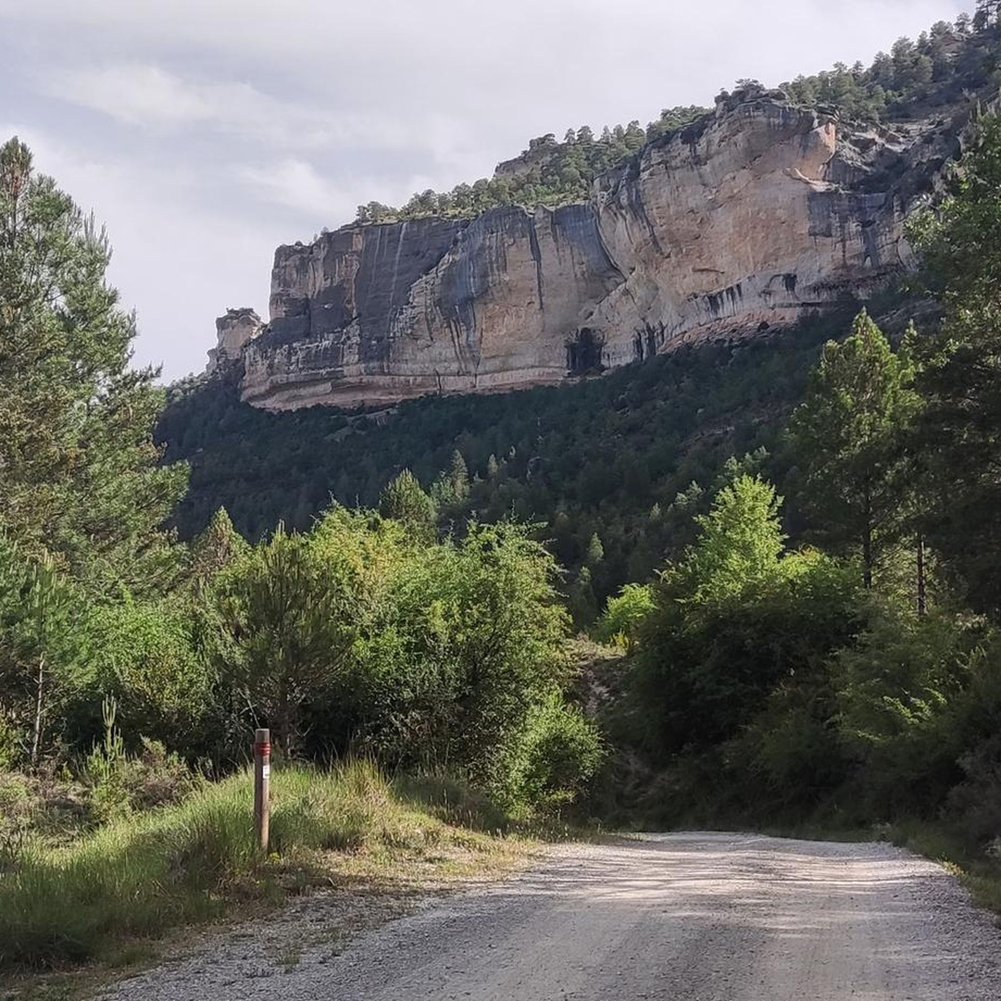
Jogging routes around Peralejos De Las Truchas are set within the Alto Tajo Natural Park, characterized by its dramatic topography and diverse landscapes. The region features the Tajo River, which carves impressive canyons and gorges, alongside the Hoz Seca and Cabrillas rivers. Extensive pine forests provide shaded paths, while elevations ranging from 1,080 meters to 1,701 meters offer varied terrain for running.
Best jogging routes around Peralejos De Las Truchas
- The most popular jogging route is Salto de Poveda and Laguna de Taravilla Trail, a 3.8 miles (6.2 km) trail that takes 44 minutes to complete. This moderate route features natural waterfalls and views of the Taravilla Lagoon.
- Another top favourite among local runners is Peralejos de las Truchas loop from Peralejos de las Truchas, a difficult 6.7 miles (10.8 km) path. This route offers significant elevation changes and panoramic views of the surrounding natural park.
- Local runners also love the Peñalén loop from Peñalén, a 3.7 miles (6.0 km) trail leading through varied terrain and forests, often completed in about 44 minutes.
- Jogging around Peralejos De Las Truchas is defined by deep river canyons, dense pine forests, and panoramic viewpoints. The extensive network of trails offers options for different ability levels, from riverside paths to challenging uphill climbs.
- The guide includes highly-rated routes that showcase the best of the region's landscape. More than 10 runners have used komoot to explore Peralejos De Las Truchas's varied terrain.
Last updated: July 11, 2026
1
runners
6.16km
00:44
90m
90m
Moderate run. Good fitness required. Mostly accessible paths. Some sure footedness required.
4
runners
10.8km
01:24
300m
300m
Hard run. Very good fitness required. Mostly paved surfaces. Suitable for all skill levels.

Sign up for free
3
runners
6.02km
00:44
100m
90m
Moderate run. Good fitness required. Mostly paved surfaces. Suitable for all skill levels.
3
runners
13.3km
01:37
300m
300m
Moderate run. Good fitness required. Mostly paved surfaces. Suitable for all skill levels.
2
runners
5.81km
00:41
110m
110m
Moderate run. Good fitness required. Mostly paved surfaces. Suitable for all skill levels.
Our route recommendations are based on thousands of hikes, rides, and runs completed by other people on komoot.
Start today with a free account
Your next adventure awaits.
Login or Signup
Popular around Peralejos De Las Truchas

Albarracín to Toledo – Eastern Tagus Nature Trail
A journey on the Iberian Peninsula – Tagus Nature Trail
Road Cycling Routes around Peralejos De Las Truchas
MTB Trails around Peralejos De Las Truchas
Hiking around Peralejos De Las Truchas
Cycling around Peralejos De Las Truchas

Gravel biking around Peralejos De Las Truchas
Other adventures around Peralejos De Las Truchas


Tips from the Community

Emblematic place, with natural sculptures, visible from the road itself
0
0

Within the great beauty of the Enchanted City of Chequilla are the Towers, near the Church Square.
0
0

This is undoubtedly one of the Tagus's great wonders. Crossing the beautiful river on a suspension bridge like this one, where motor vehicles are prohibited, reduces the number of crossing options. Walkers and cyclists can enjoy the oscillating motion experienced by the bridge's anchorage. Absolutely recommended!
7
0
These rock formations create a very unique setting at the entrance to the town of Chequilla. Erosion over hundreds of thousands of years has formed these whimsical figures that serve as a tourist attraction for anyone who visits this small town.
0
0
This suspension bridge is truly a symbol of the area, allowing you to cross the river from one bank to the other with truly unique views. As you ride your bike across, you can observe the movement and the noise caused by the weight of the straps. If you don't suffer from heights of height, you can enjoy the Tagus River from there.
6
0

Quiet place to walk and take a bath.
0
0

The Salto de Poveda, an impressive waterfall that forms a natural pool, ideal for a refreshing swim in summer.
6
0
An impressive waterfall that forms a natural pool, ideal for a refreshing swim in summer.
6
0
Frequently Asked Questions
How many running routes are available around Peralejos De Las Truchas?
There are at least 4 dedicated running routes around Peralejos De Las Truchas, offering diverse experiences within the stunning Alto Tajo Natural Park. These routes cater to various fitness levels, from moderate to difficult.
Are the trails in Alto Tajo Natural Park suitable for jogging?
Yes, the extensive network of trails within the Alto Tajo Natural Park is very suitable for jogging and trail running. The region's varied terrain, from riverside paths along the Tajo, Hoz Seca, and Cabrillas rivers to challenging uphill climbs through dense pine forests, provides excellent opportunities for runners. Many routes are well-established, including sections of the long-distance GR-10 trail and the 'Camino Natural del Tajo'.
What kind of natural features can I expect to see on a run in Peralejos De Las Truchas?
Jogging routes in Peralejos De Las Truchas offer spectacular natural features. You'll encounter dramatic river canyons carved by the Tajo River, dense pine forests providing shaded paths, and numerous panoramic viewpoints. Notable sights include the beautiful Laguna de Taravilla and the picturesque Salto de Poveda Waterfall. The area is also home to other natural waterfalls like Cascada del Molino de Arriba and Cascada del Molino.
Are there any easy or moderate running routes for beginners or families?
Yes, there are moderate running routes suitable for those looking for a less strenuous experience or for families. For example, the Salto de Poveda and Laguna de Taravilla Trail is a moderate 6.2 km (3.8 miles) route that takes about 44 minutes to complete and features natural waterfalls and lake views. Another moderate option is the Peñalén loop from Peñalén, which is 6.0 km (3.7 miles) long and leads through varied terrain and forests.
Are there any circular running routes in the area?
Yes, several running routes in Peralejos De Las Truchas are circular, allowing you to start and end in the same location. A popular option is the Peralejos de las Truchas loop from Peralejos de las Truchas, a challenging 10.8 km (6.7 miles) path with significant elevation changes and panoramic views. The Peñalén loop from Peñalén is another circular route, offering a moderate 6.0 km (3.7 miles) run.
What is the best time of year to go running in Peralejos De Las Truchas?
The Alto Tajo Natural Park offers beautiful running conditions throughout much of the year. Spring and autumn are particularly pleasant, with mild temperatures and vibrant natural colors. Summer can be warm, but the dense pine forests provide welcome shade on many routes. Winter running is also possible, though some higher elevation trails might be more challenging due to weather conditions.
Are there running trails with good viewpoints in Peralejos De Las Truchas?
Absolutely. The dramatic topography of Peralejos De Las Truchas means many running trails offer breathtaking panoramic viewpoints. You can expect stunning vistas of the Tajo River canyons and surrounding forests. The Peralejos de las Truchas loop from Peralejos de las Truchas, for instance, is known for its panoramic views. The region boasts several notable miradores (viewpoints) such as El Rasón, Mirador Pie Molino, and Mirador del Machorrillo, which offer unforgettable panoramas.
Is public transport available to reach Peralejos De Las Truchas or the trailheads?
Peralejos De Las Truchas is a small, rural municipality within a natural park, and public transport options are limited. It is generally recommended to reach the area and trailheads by car. This provides the most flexibility to explore the various running routes and attractions within the Alto Tajo Natural Park.
Are there any specific permits required for jogging in Alto Tajo Natural Park?
Generally, no specific permits are required for recreational activities like jogging on marked trails within the Alto Tajo Natural Park. However, it's always advisable to respect local regulations, stay on marked paths, and be mindful of the natural environment. For any specific activities or large groups, it's best to check with the park's official information points.
What do other runners enjoy most about the trails in Peralejos De Las Truchas?
Runners frequently praise the serene and pristine natural environment of Peralejos De Las Truchas. They appreciate the diverse landscapes, from the dramatic river canyons and lush pine forests to the stunning viewpoints. The extensive network of trails, offering varied terrain and options for different ability levels, is also a highlight for those seeking an immersive outdoor experience.
Are the running trails in Peralejos De Las Truchas dog-friendly?
Many trails in natural parks in Spain, including Alto Tajo, are generally dog-friendly, especially if dogs are kept on a leash to protect wildlife and ensure the safety of other users. However, it's always best to check specific trail regulations or local signage, as rules can vary. Given the area's focus on nature conservation, responsible pet ownership is highly encouraged.
Are there any longer or more challenging running routes for experienced runners?
Yes, experienced runners will find challenging options with significant elevation changes. The Peralejos de las Truchas loop from Peralejos de las Truchas is a difficult 10.8 km (6.7 miles) route that offers a demanding workout with rewarding panoramic views. Another option for a longer run is the Roman Mine Cueva del Hierro loop from Cueva del Hierro, a moderate 13.3 km (8.3 miles) route.
Most popular attractions around Peralejos De Las Truchas

Get inspired with the komoot mobile app


Explore more
Browse the best Running Trails & Routes in other regions.
