The best walks and hikes around Peralejos De Las Truchas
4.7
(66)
434
hikers
23
hikes
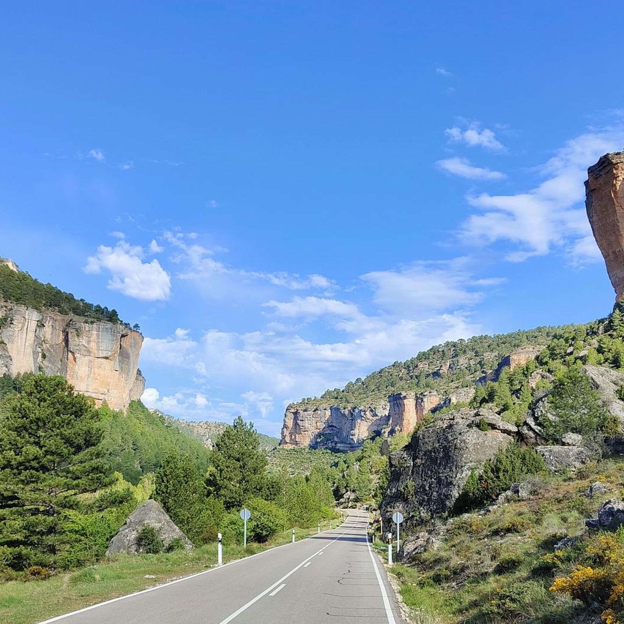
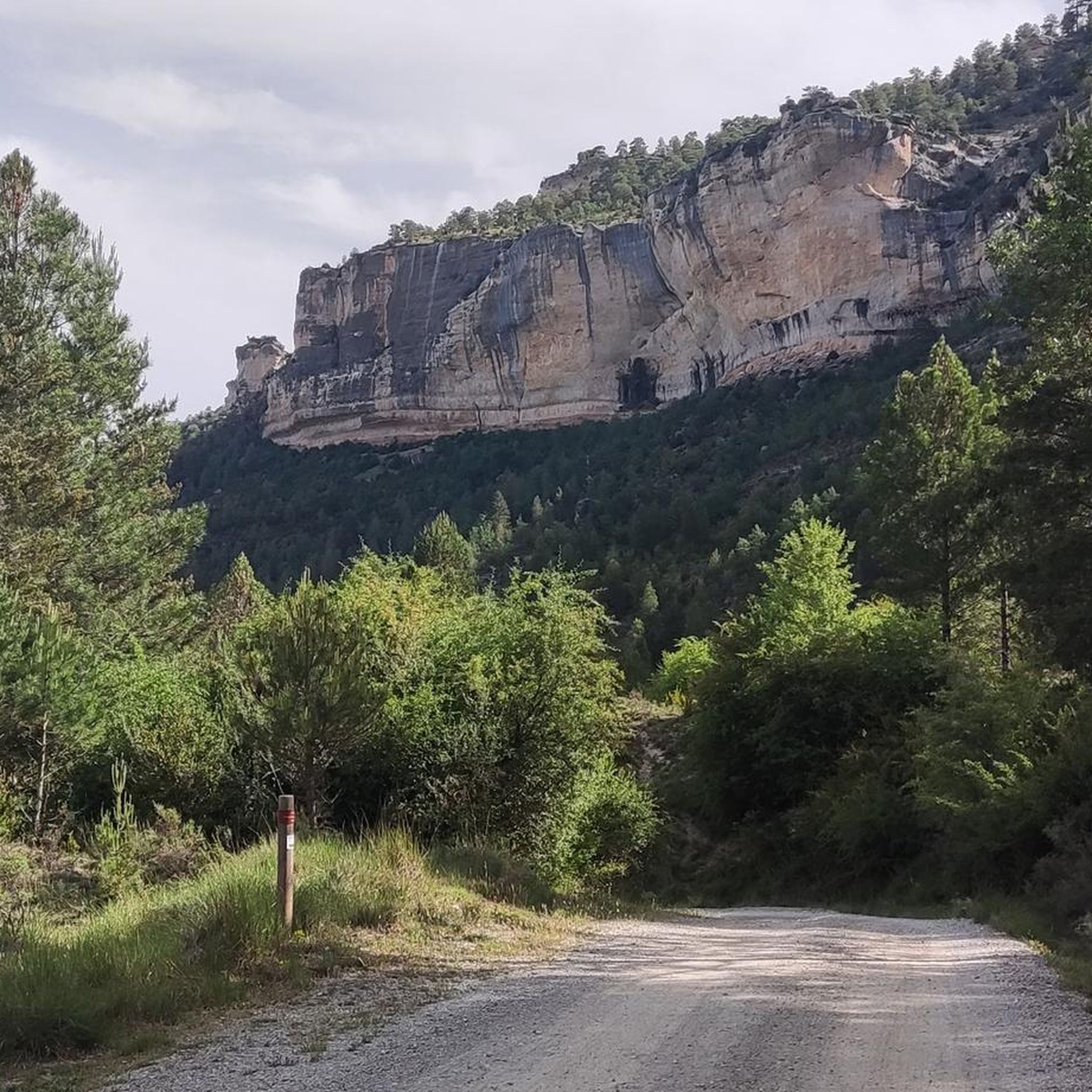
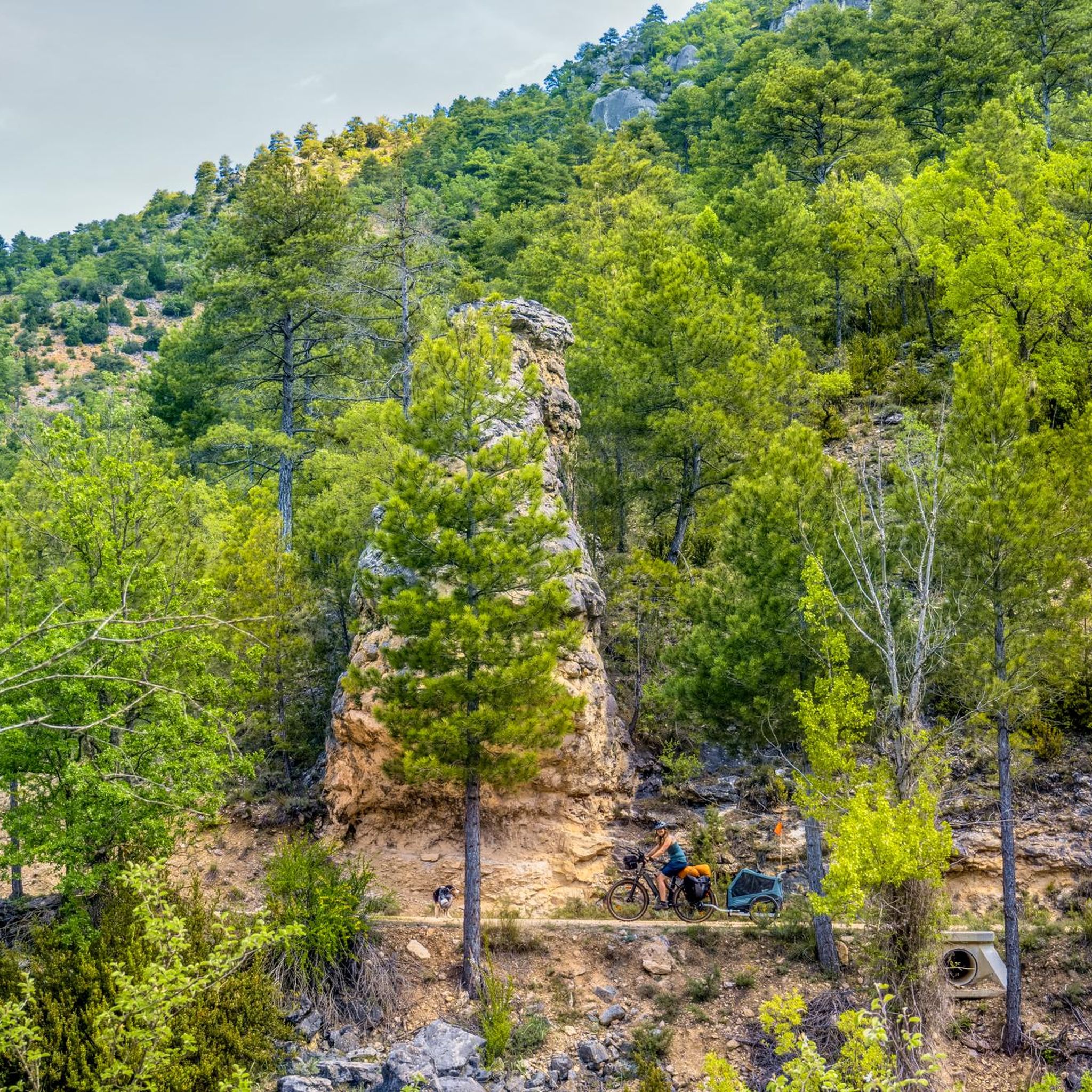
Hiking around Peralejos De Las Truchas offers access to the Alto Tajo Natural Park, a region characterized by dramatic canyons, dense pine forests, and significant elevation changes. The landscape is shaped by the Tajo, Hoz Seca, and Cabrillas rivers, which carve impressive gorges with vertical cliffs. Geological formations, including sandstone canyons and reddish rock structures, are prominent features throughout the area.
Best hiking trails around Peralejos De Las Truchas
- The most popular hiking route is Poveda Waterfall and Taravilla Lagoon – Upper Tagus Natural Park, an easy 3.7 miles (6.0 km) trail that takes 1 hour 38 minutes to complete, featuring picturesque water features within the natural park.
- Another top favourite among local hikers is Camino Natural del Tajo and Valle de las Cabrillas Loop, a difficult 17.5 miles (28.1 km) path. This route explores riverside forests and crosses the Puente de Peñalén, offering extensive views of the Tajo river.
- Local hikers also love the Molino Waterfall – Peralejos de las Truchas loop from Peralejos de las Truchas, a 4.3 miles (6.9 km) trail leading through forested areas to the Molino Waterfall, often completed in about 1 hour 59 minutes.
- Hiking around Peralejos De Las Truchas is defined by deep river canyons, extensive pine forests, and unique geological formations. The network of trails offers options for easy strolls, moderate excursions, and challenging treks.
- The routes in Peralejos De Las Truchas are highly rated by the komoot community with an average score of 4.7 stars from over 50 reviews. More than 350 hikers have used komoot to explore Peralejos De Las Truchas's varied terrain.
Last updated: July 9, 2026
4.9
(21)
143
hikers
5.97km
01:38
90m
100m
Easy hike. Great for any fitness level. Easily-accessible paths. Suitable for all skill levels.
2
hikers
28.1km
07:52
550m
550m
Hike the difficult 17.5-mile Camino Natural del Tajo and Valle de las Cabrillas Loop, featuring riverside forests and Puente de Peñalén.

Sign up for free
4.3
(3)
36
hikers
6.41km
02:21
230m
230m
Moderate hike. Good fitness required. Mostly accessible paths. Sure-footedness required.
4.2
(6)
19
hikers
Moderate hike. Great for any fitness level. Mostly accessible paths. Sure-footedness required.
4.8
(5)
15
hikers
Moderate hike. Good fitness required. Easily-accessible paths. Suitable for all skill levels.
Get access to more routes and recommendations from other explorers.
Sign up for free
Already have an account?
Our route recommendations are based on thousands of hikes, rides, and runs completed by other people on komoot.
Start today with a free account
Your next adventure awaits.
Login or Signup
Popular around Peralejos De Las Truchas

Albarracín to Toledo – Eastern Tagus Nature Trail
A journey on the Iberian Peninsula – Tagus Nature Trail
Road Cycling Routes around Peralejos De Las Truchas
MTB Trails around Peralejos De Las Truchas
Cycling around Peralejos De Las Truchas

Gravel biking around Peralejos De Las Truchas
Running Trails around Peralejos De Las Truchas
Other adventures around Peralejos De Las Truchas


Tips from the Community

The name brings back memories of when Merino sheep used to pass through here.
0
0

This spectacular bridge is almost hidden from view and serves as an excuse to cross the Tagus River from one bank to the other. It is very well preserved and is located next to several striking rock faces.
9
0
What an exclusive paradise and privileged setting this lagoon has, whose waters come almost exclusively from underground seepage. Swimming is permitted in this lagoon, but recreational diving is prohibited.
9
0
This is undoubtedly one of the Tagus's great wonders. Crossing the beautiful river on a suspension bridge like this one, where motor vehicles are prohibited, reduces the number of crossing options. Walkers and cyclists can enjoy the oscillating motion experienced by the bridge's anchorage. Absolutely recommended!
7
0
This suspension bridge is truly a symbol of the area, allowing you to cross the river from one bank to the other with truly unique views. As you ride your bike across, you can observe the movement and the noise caused by the weight of the straps. If you don't suffer from heights of height, you can enjoy the Tagus River from there.
6
0
Also known as Laguna de la Parra, it is a concentration of crystal-clear waters, primarily groundwater. This accumulation of clean water allows for swimming and other activities related to the environment, such as hiking; however, recreational diving is prohibited.
5
0

Quiet place to walk and take a bath.
0
0
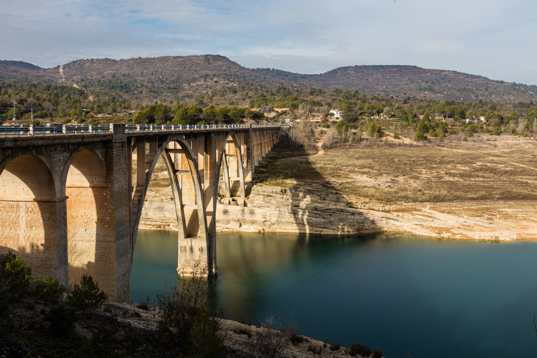
Peñalén Bridge or Tío Lucas Bridge. It was built in 1943. It is over the Tagus River just before the Valdepedro Strait, next to the extraordinary rocks called Los Picones de San Pedro. It is a place of extraordinary beauty. A few meters below, the Cabrillas River flows into the Tagus.
1
1
Frequently Asked Questions
How many hiking trails are available around Peralejos de las Truchas?
There are over 20 hiking trails around Peralejos de las Truchas, offering a variety of options for different skill levels. You'll find 9 easy routes, 8 moderate, and 3 challenging treks.
What kind of landscapes can I expect to see while hiking in this region?
The region is part of the Alto Tajo Natural Park, characterized by dramatic canyons, dense pine forests, and significant elevation changes. You'll encounter impressive geological formations, including sandstone canyons and reddish rock structures, shaped by the Tajo, Hoz Seca, and Cabrillas rivers.
Are there any hikes that feature waterfalls or lagoons?
Yes, the area is known for its beautiful water features. You can explore routes that lead to the Molino Waterfall or the picturesque Poveda Waterfall. The Poveda Waterfall and Taravilla Lagoon – Upper Tagus Natural Park route is an easy option to experience both. The Laguna de Taravilla is also a popular spot for contemplation and even swimming.
Are there family-friendly or easy hiking options?
Absolutely. There are 9 easy routes suitable for families or those looking for a relaxed stroll. For example, the Poveda Waterfall and Taravilla Lagoon – Upper Tagus Natural Park is an easy 6 km trail. Shorter, geologically-themed 'cretaceous' and 'Jurassic' routes are also designed for families and can typically be completed in under three hours.
What interesting sights or landmarks can I see along the trails?
Hikers can discover several notable landmarks. The Towers of Chequilla offer unique rock formations, and the Suspension bridge over the River Tajo is an emblematic spot. You can also find stunning views from the Estrecho del Horcajo Viewpoint.
Are there any circular hiking routes?
Yes, many routes in the area are circular, allowing you to start and end in the same location. A popular option is the Molino Waterfall – Peralejos de las Truchas loop from Peralejos de las Truchas, which is a moderate 6.9 km trail through forested areas.
Can I hike with my dog in Peralejos de las Truchas?
The Alto Tajo Natural Park generally welcomes dogs, but it's always recommended to keep them on a leash to protect local wildlife and ensure their safety, especially in areas with steep terrain or near rivers. Please check specific trail regulations before you go.
What do other hikers enjoy most about the trails in Peralejos de las Truchas?
The trails in Peralejos de las Truchas are highly rated by the komoot community, with an average score of 4.7 stars. Hikers often praise the dramatic river canyons, extensive pine forests, and unique geological formations, as well as the variety of options for all skill levels.
Are there opportunities for wild swimming after a hike?
Yes, the clear waters of the Tajo river offer opportunities for bathing during the summer months. The Laguna de Taravilla is also a picturesque spot where swimming is possible, with its waters primarily fed by underground filtrations.
What is the best time of year to visit Peralejos de las Truchas for hiking?
Spring and autumn are ideal for hiking, offering pleasant temperatures and vibrant natural scenery. Spring showcases a variety of blooming flora, while autumn brings beautiful fall colors to the pine forests. Summer is also popular, especially for combining hikes with refreshing dips in the river.
Are there any long-distance hiking paths that pass through the area?
Yes, parts of the GR-10 and GR-113 (Camino Natural del Tajo) long-distance paths traverse the region. For a challenging experience, the Camino Natural del Tajo and Valle de las Cabrillas Loop is a difficult 28.1 km route that explores riverside forests and crosses the Puente de Peñalén.
Most popular attractions around Peralejos De Las Truchas

Get inspired with the komoot mobile app


Explore more
Browse the best Hikes in other regions.
