FFH-Gebiet Oberurseler Stadtwald und Stierstädter Heide
FFH-Gebiet Oberurseler Stadtwald und Stierstädter Heide
The best running trails around FFH-Gebiet Oberurseler Stadtwald und Stierstädter Heide
4.5
(2339)
30,445
runners
945
runs
Jogging routes around FFH-Gebiet Oberurseler Stadtwald und Stierstädter Heide traverse diverse natural beech and oak forests, alongside distinctive dry heathlands. The terrain is varied, situated on the eastern slope of the Taunus mountains, with elevations ranging from approximately 230 to 400 meters above sea level. This offers gentle hills and moderate climbs, creating a dynamic environment for running. The area features a well-marked network of paths connecting different sections of the forest and heathland.
Best jogging routes around FFH-Gebiet Oberurseler…
Last updated: July 15, 2026
4.6
(25)
254
runners
19.7km
02:22
670m
670m
Hard run. Very good fitness required. Sure-footedness, sturdy shoes and alpine experience required.
4.4
(5)
197
runners
32.7km
04:27
1,420m
1,420m
Hard run. Very good fitness required. Sure-footedness, sturdy shoes and alpine experience required.

Sign up for free
4.9
(31)
99
runners
26.8km
03:16
770m
770m
Hard run. Very good fitness required. Sure-footedness, sturdy shoes and alpine experience required.
4.8
(5)
122
runners
14.6km
01:49
480m
480m
Hard run. Very good fitness required. Sure-footedness, sturdy shoes and alpine experience required.
4.3
(4)
73
runners
15.6km
01:58
430m
430m
Hard run. Very good fitness required. Sure-footedness, sturdy shoes and alpine experience required.
Get access to more routes and recommendations from other explorers.
Sign up for free
Already have an account?
Our route recommendations are based on thousands of hikes, rides, and runs completed by other people on komoot.
Start today with a free account
Your next adventure awaits.
Login or Signup
Popular around FFH-Gebiet Oberurseler Stadtwald und Stierstädter Heide
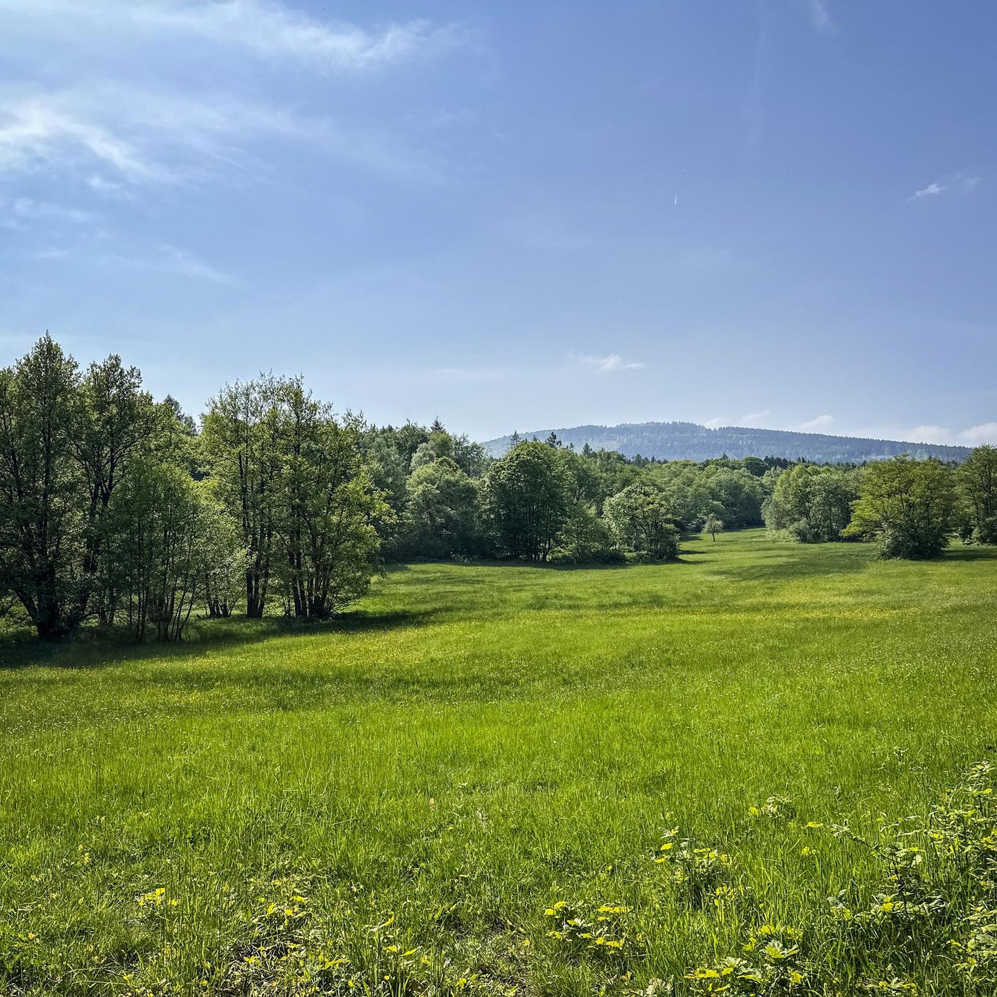
MTB Trails around FFH-Gebiet Oberurseler Stadtwald und Stierstädter Heide
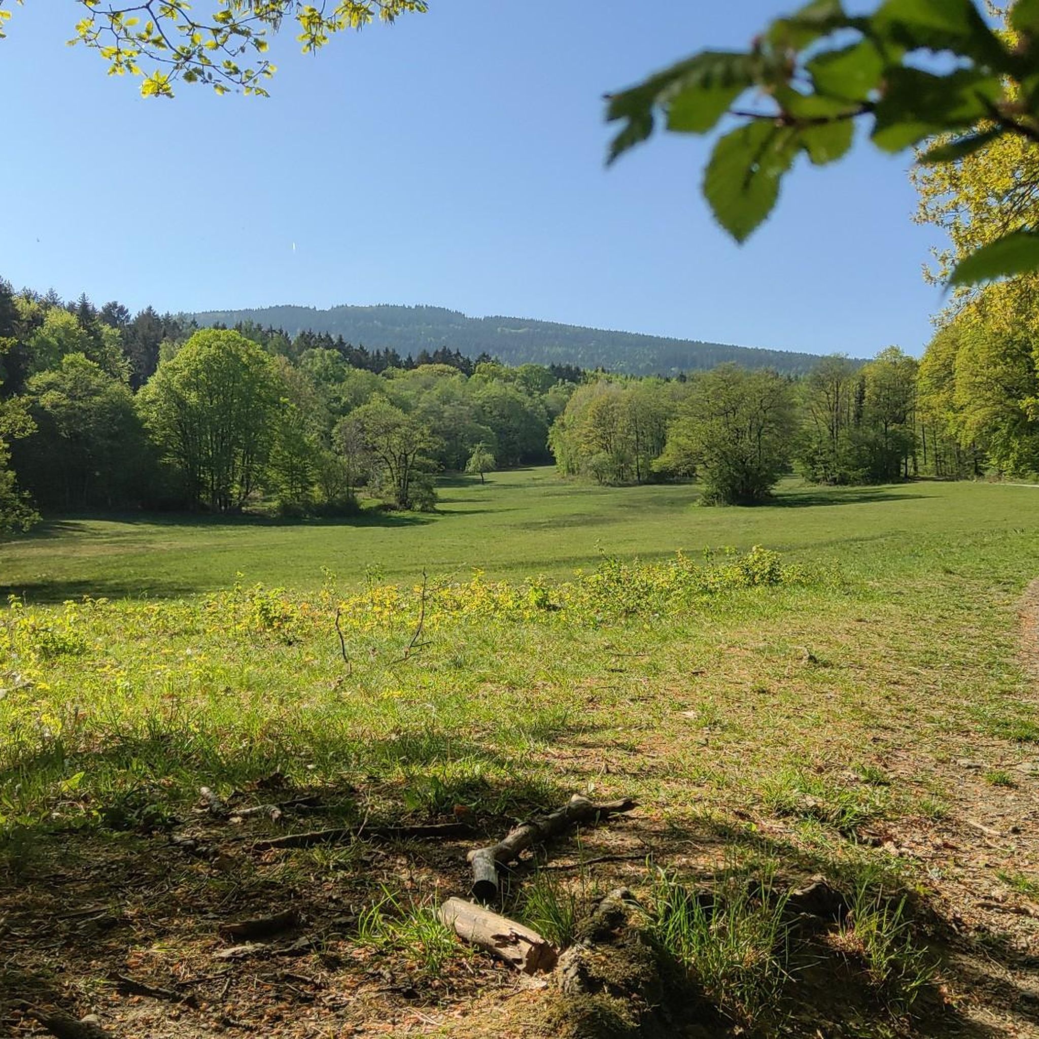
Cycling around FFH-Gebiet Oberurseler Stadtwald und Stierstädter Heide
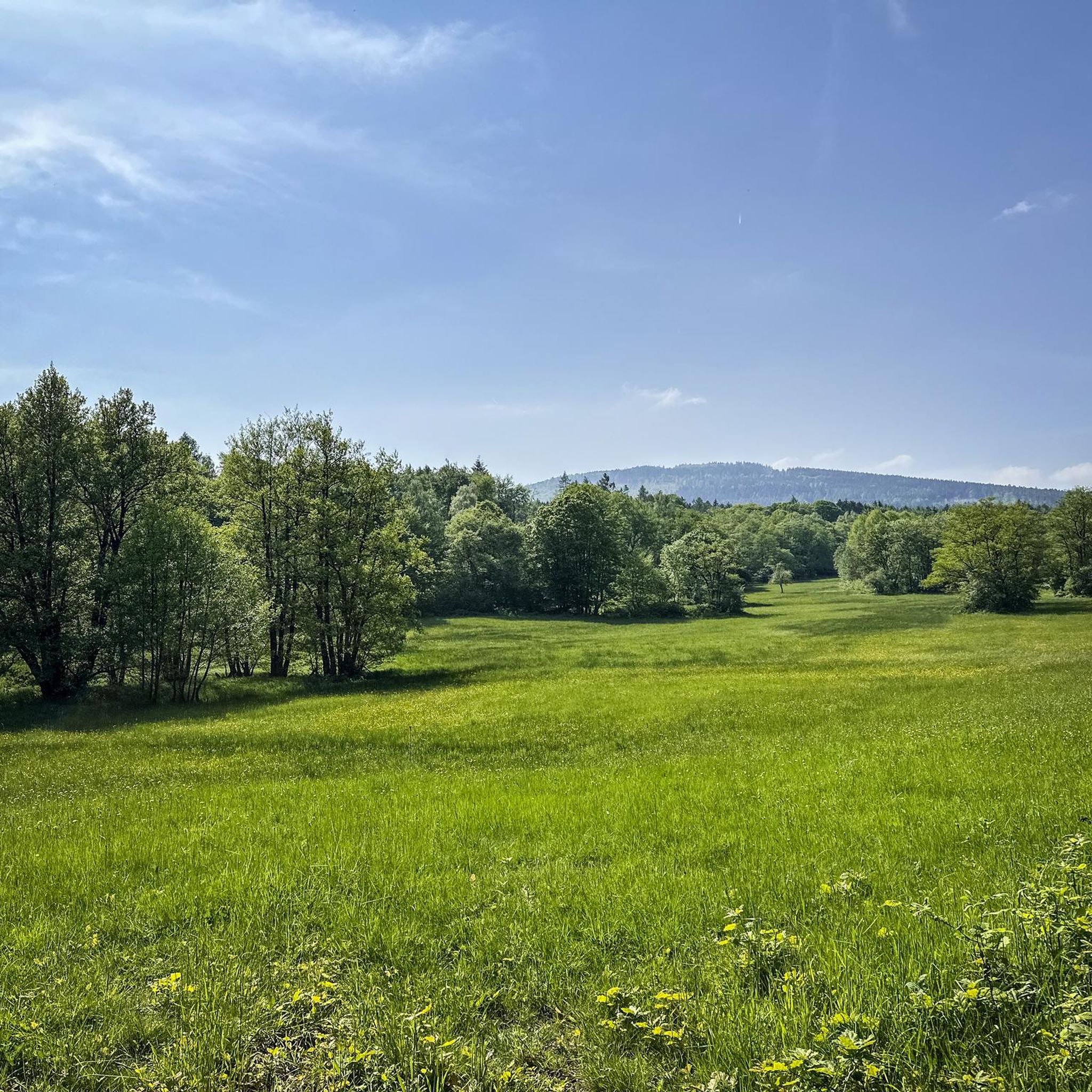
Hiking around FFH-Gebiet Oberurseler Stadtwald und Stierstädter Heide
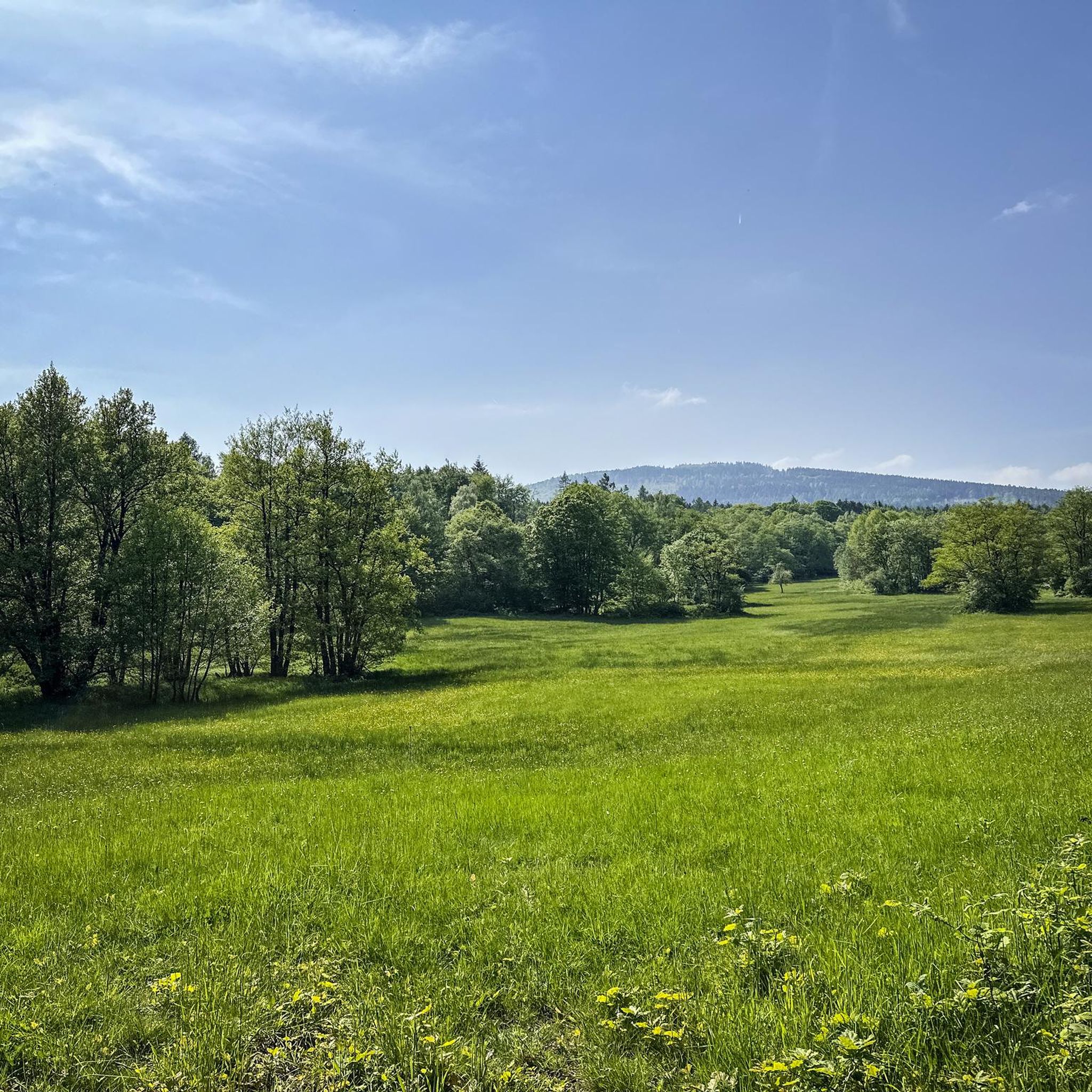
Road Cycling Routes around FFH-Gebiet Oberurseler Stadtwald und Stierstädter Heide
Gravel biking around FFH-Gebiet Oberurseler Stadtwald und Stierstädter Heide
Mountain Hikes around FFH-Gebiet Oberurseler Stadtwald und Stierstädter Heide
Tips from the Community

Demanding trail, concentration required.
0
0

The obelisk, worked in Wertheim sandstone, was commissioned by Hereditary Prince Friedrich Joseph on the occasion of the golden wedding of his parents Friedrich V. and Caroline by the Frankfurt city architect J.F.C. Heß in 1818/19. Originally, it was intended to form the center of a small park at the intersection of Kreuzallee and Mittelstedter Weg. However, this plan was not implemented, and the obelisk was erected around 1825 at the Obeliskenschneise on the Sangeberg. Source. https://www.lagis-hessen.de/de/odk/xsrec/current/3/camefrom/keywords?sache=Obelisken
0
0

The trail should only be used on foot or by mountain bike. The view of the Kanonenstraße (Cannon Road) or the opposite ridge is worth seeing :)
0
0

The White Wall in the Taunus Mountains is a quartzite field formed during the Ice Age on the Altkönig mountain by frost weathering. It lies at a maximum elevation of 634 meters above sea level [1] near Oberursel in the Hochtaunus district of Hesse. The area is designated as a nature reserve 🤩
14
0

Go on a sunny or clear day. There is a relatively steep ascent to reach the viewpoint so wear good shoes and maybe have a walking stick.
0
0

Picnic with the best view of Frankfurt - sensationally beautiful next to the equally impressive Goldgrubenfelsen
0
0

Brutally beautiful view over the sugar-coated lowlands.. endless expanse
14
0

Well-maintained shelter directly at the entrance to the "Flowtrail-Feldberg 3".
7
0
Frequently Asked Questions
How many running routes are available in FFH-Gebiet Oberurseler Stadtwald und Stierstädter Heide?
The FFH-Gebiet Oberurseler Stadtwald und Stierstädter Heide offers a vast network of over 900 running routes. These range from easy paths to more challenging trails, ensuring options for every fitness level.
What kind of terrain can I expect when running in this area?
You'll experience a diverse landscape, including natural beech and oak forests that provide ample shade, as well as the distinctive dry heathlands of the Stierstädter Heide. The terrain is varied, with elevations ranging from 230 to 400 meters, offering gentle hills and moderate climbs.
Are there running routes suitable for beginners or those looking for an easier run?
Yes, the area provides a good selection of routes for all abilities. There are over 100 easy running paths, perfect for beginners or those preferring a less strenuous pace. These trails allow you to enjoy the natural beauty without significant climbs.
What are some challenging running routes for experienced runners?
For experienced runners seeking a challenge, there are over 100 difficult routes. One such demanding option is the Großer Feldberg – Großer Feldberg summit loop from Hohemark, which covers 19.8 km with significant elevation gain. Another is the Heidenstock Fortlet – Großer Feldberg Summit loop from Hohemark, a 26.7 km trail through varied forest terrain.
Are there any interesting natural features or viewpoints to see along the running paths?
Absolutely! You can explore several natural features and viewpoints. Highlights include the unique Stierstädter Heath, the serene Hünerbergwiesen Nature Reserve, and the Pond with island in Oberurseler Stadtwald. Some routes also lead to scenic viewpoints, offering expansive vistas of the surrounding area.
Can I find circular running routes in FFH-Gebiet Oberurseler Stadtwald und Stierstädter Heide?
Yes, many of the running paths are designed as loops, allowing you to start and finish at the same point. For example, the Emminghaus Hut – Taunus Information Center loop from Hohemark is a 14.3 km circular route, and the Taunus Information Center – Heidenstock Fortlet loop from Hohemark offers a 15.6 km option.
What do other runners think about the routes in this area?
The running routes in FFH-Gebiet Oberurseler Stadtwald und Stierstädter Heide are highly regarded by the komoot community, with an average score of 4.5 stars from nearly 2,000 reviews. Over 29,000 runners have explored these trails, often praising the diverse natural scenery, well-maintained paths, and varied terrain.
Are there places to rest or refuel during a long run?
Yes, the area includes small huts that serve as convenient rest stops. The Emminghaus Hut is one such spot, offering a place to take a break and rehydrate during your run.
When is the best time of year to go running in FFH-Gebiet Oberurseler Stadtwald und Stierstädter Heide?
The area is enjoyable for running year-round, especially in fair weather when all paths remain easily accessible. The diverse forests provide shade in summer, while the open heathlands offer a different experience in other seasons. Always check local weather conditions before heading out.
Are there any historical sites or traces along the running paths?
Yes, the paths in this region reveal layers of human activity, including traces of Celtic and Roman inhabitants. These historical elements add an interesting dimension to the natural environment, allowing you to connect with the past while enjoying your run.
Is the FFH-Gebiet Oberurseler Stadtwald und Stierstädter Heide accessible by public transport?
The region is generally well-connected, with public transport options available to reach starting points for many routes. For specific details on how to reach a particular trailhead, it's best to consult local public transport schedules or mapping services.
Are there parking facilities near the running trails?
Yes, there are parking options available at various access points to the FFH-Gebiet Oberurseler Stadtwald und Stierstädter Heide, making it convenient for runners who travel by car. Specific parking locations can often be found near popular trailheads or information centers.
Most popular routes around FFH-Gebiet Oberurseler Stadtwald und Stierstädter Heide
Most popular attractions around FFH-Gebiet Oberurseler Stadtwald und Stierstädter Heide

Get inspired with the komoot mobile app


Explore more
Browse the best Running Trails & Routes in other regions.
