FFH-Gebiet Oberurseler Stadtwald und Stierstädter Heide
FFH-Gebiet Oberurseler Stadtwald und Stierstädter Heide
The best road cycling routes around FFH-Gebiet Oberurseler Stadtwald und Stierstädter Heide
4.5
(1710)
30,982
riders
406
rides
Road cycling around FFH-Gebiet Oberurseler Stadtwald und Stierstädter Heide features a diverse landscape of natural beech and oak forests, alongside dry heathlands. The terrain is part of the eastern slope of the Taunus mountains, with elevations ranging from approximately 230 to 400 meters above sea level. This area includes the Stuhlbergbach Valley and the Naturschutzgebiet Hünerbergwiesen, offering varied environments for road cyclists. The region provides both shaded forest paths and open heath areas, with well-marked trails.
Best road cycling routes…
Last updated: July 11, 2026
4.5
(11)
181
riders
33.7km
02:00
720m
720m
Moderate road ride. Good fitness required. Mostly well-paved surfaces and easy to ride.
5.0
(1)
11
riders
39.5km
01:42
340m
340m
Moderate road ride. Good fitness required. Mostly well-paved surfaces and easy to ride.

Sign up for free
4.6
(60)
911
riders
27.3km
01:34
630m
630m
Moderate road ride. Good fitness required. Mostly well-paved surfaces and easy to ride.
4.7
(7)
69
riders
59.4km
02:29
340m
340m
Moderate road ride. Good fitness required. Some segments of this route may be unpaved and difficult to ride.
41
riders
Moderate road ride. Good fitness required. Mostly well-paved surfaces and easy to ride.
Get access to more routes and recommendations from other explorers.
Sign up for free
Already have an account?
Our route recommendations are based on thousands of hikes, rides, and runs completed by other people on komoot.
Start today with a free account
Your next adventure awaits.
Login or Signup
Popular around FFH-Gebiet Oberurseler Stadtwald und Stierstädter Heide
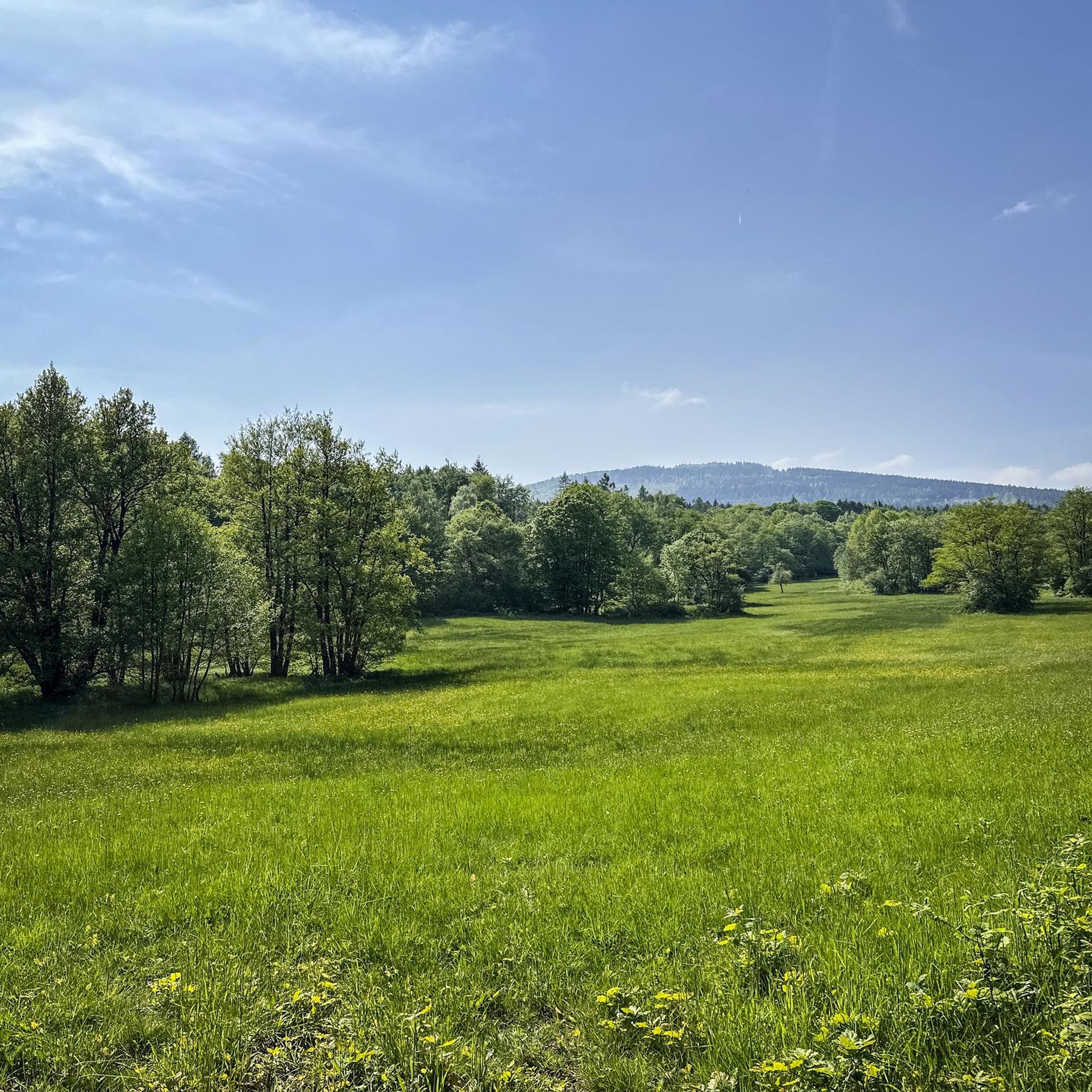
MTB Trails around FFH-Gebiet Oberurseler Stadtwald und Stierstädter Heide
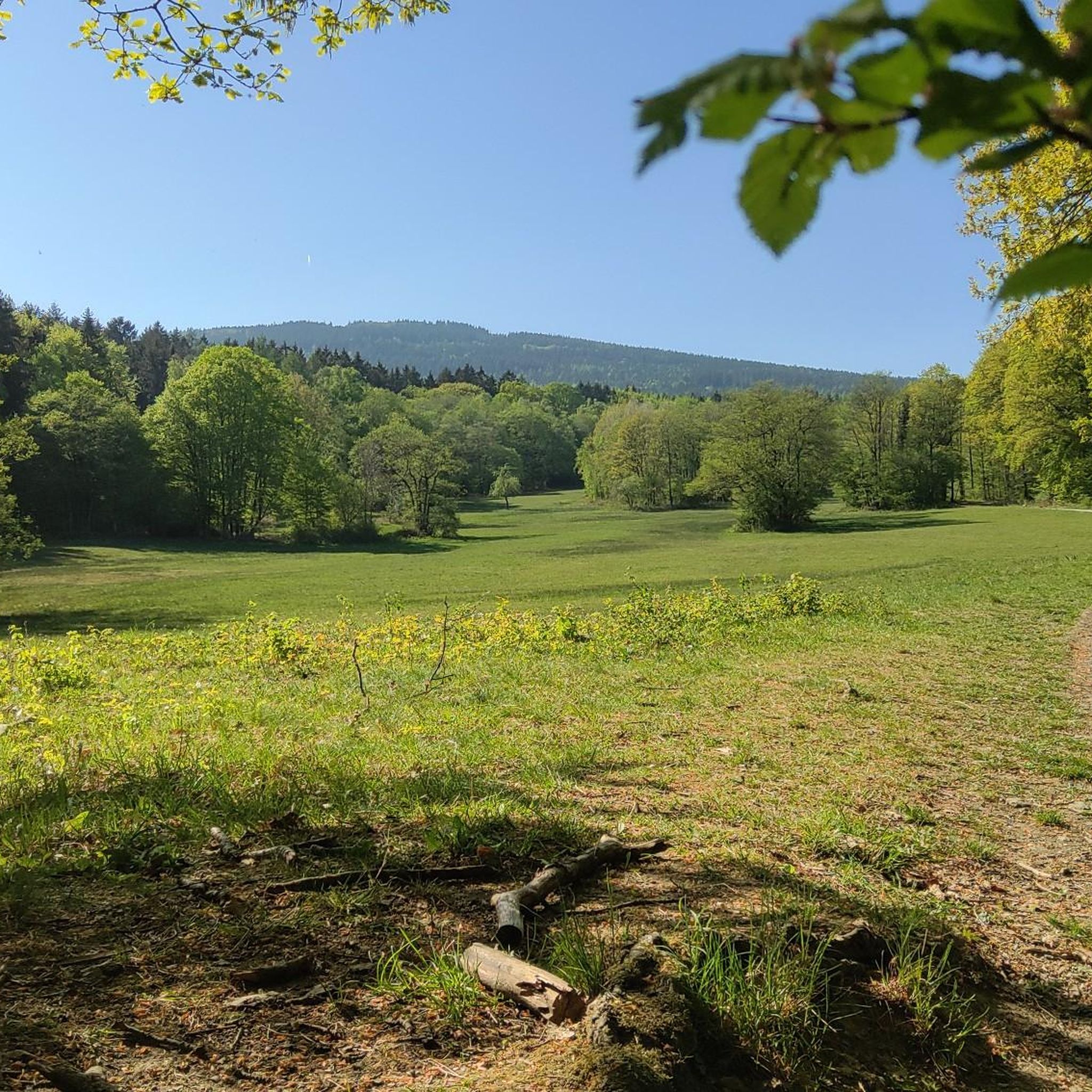
Running Trails around FFH-Gebiet Oberurseler Stadtwald und Stierstädter Heide
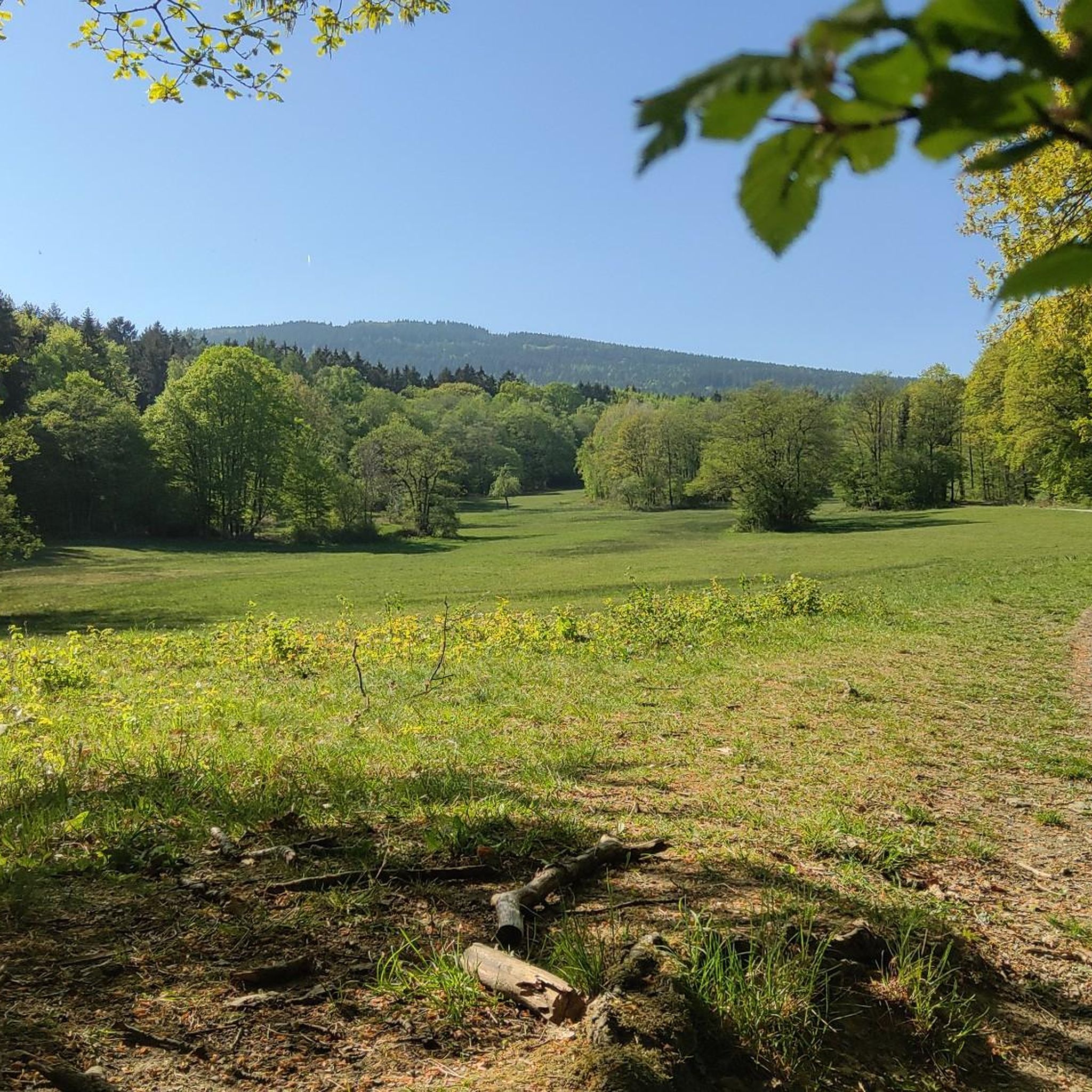
Cycling around FFH-Gebiet Oberurseler Stadtwald und Stierstädter Heide
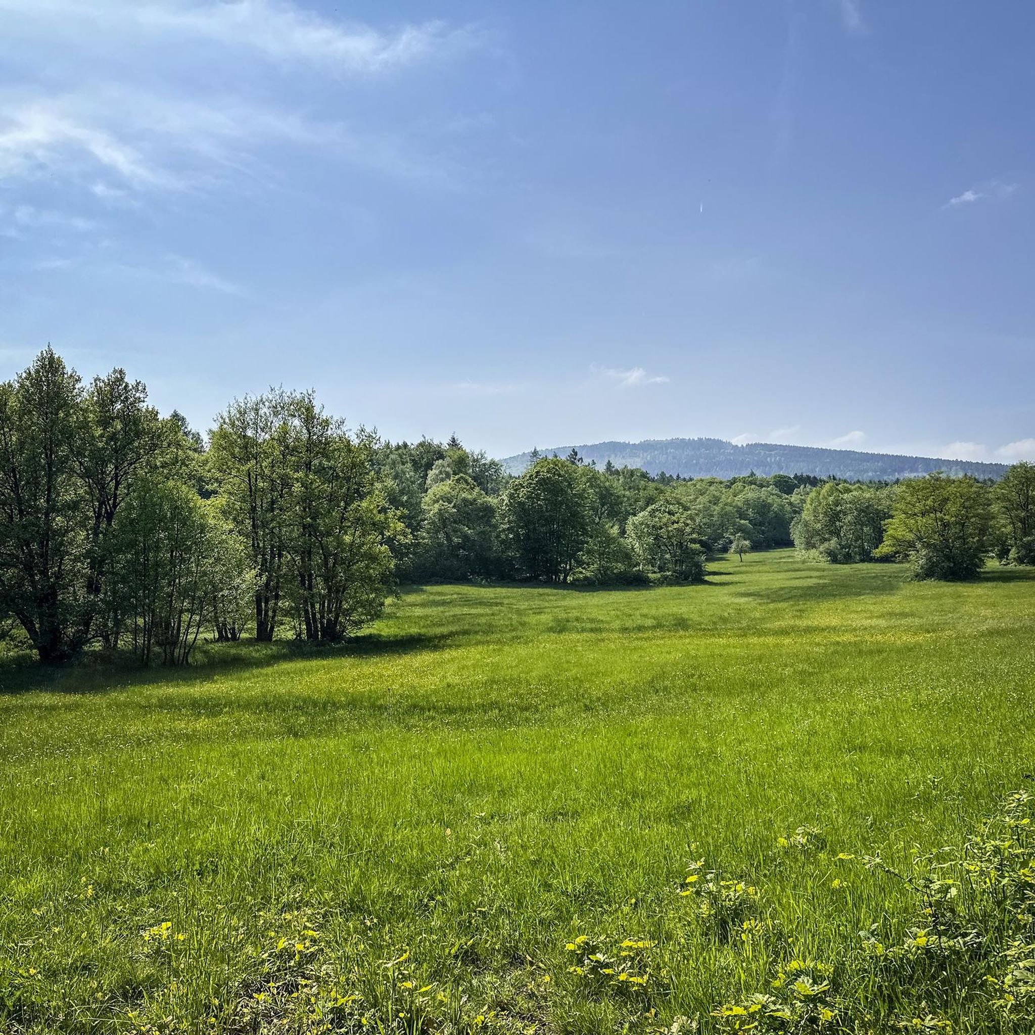
Hiking around FFH-Gebiet Oberurseler Stadtwald und Stierstädter Heide
Gravel biking around FFH-Gebiet Oberurseler Stadtwald und Stierstädter Heide
Mountain Hikes around FFH-Gebiet Oberurseler Stadtwald und Stierstädter Heide
Tips from the Community

It's always fun to be out and about here.
0
0

Good starting point for medium-length summit tours
0
0

Quiet little connecting road between Nieder- and Obereschbach. It rolls traffic-poor through the country with beautiful views.
0
0

Beautiful idyll by the river
0
0
It's always a great pleasure to ride here.
0
0

The historic town hall was built in 1479 on the remains of Gothic city gates. Its history is closely intertwined with the history of the town of Oberursel. In 1444, the market town of Oberursel was granted city rights. Trade developed rapidly, and the number of citizens grew steadily. In 1481, the city walls were extended to include a new part of the town—the "valley." After fulfilling its military function, the town hall was built on the reclaimed site of the "Lower Gate" of the first city wall. At this juncture between the old and new towns, it became a visible testament to the self-confidence of the free citizens. Moreover, the building was centrally located on the newly created market square. In the turmoil of the Thirty Years' War, the town hall burned down for the first time in 1622. Although plans for its reconstruction existed as early as 1629, they could not be realized during the Thirty Years' War. In 1645, the temporary building erected in its place was burned down again, along with almost the entire town. The town hall was rebuilt in 1659, though on a smaller scale than originally planned in 1629. The interior was completed in 1663. A jail cell, known as the "Betzelkammer," was installed at its base, beneath the staircase. This cell could accommodate 20 prisoners. In 1702, a sundial was added to the town hall; during the 1933/34 renovation, an inscription was added. Above the town hall's entrance is a Baroque replica of the town's coat of arms from the 15th/18th centuries. On September 27, 1980, the renovated council chamber was reopened. Since then, the council chamber, with its beautiful wainscoting, has been available for special civic events and weddings.
13
0

👍 this expansion is really an enrichment!
0
0
There's a hotel at the top of the pass. There's also something to eat if you're hungry.
6
0
Frequently Asked Questions
How many road cycling routes are available in FFH-Gebiet Oberurseler Stadtwald und Stierstädter Heide?
The region offers a wide selection of road cycling routes, with over 380 tours available. These routes cater to various skill levels, including approximately 75 easy, 216 moderate, and 89 difficult options.
What is the typical terrain and elevation like for road cycling in this area?
The terrain is diverse, featuring the eastern slopes of the Taunus mountains with elevations ranging from 230 to 400 meters above sea level. You'll encounter a mix of natural beech and oak forests, as well as unique dry heathlands like the Stierstädter Heide. Some routes, such as the Großer Feldberg Summit – Big Curve (Taunus) loop from Hohemark, include significant climbs, offering a challenging 'mountain stage' experience.
Are there road cycling routes suitable for beginners or families?
Yes, there are routes suitable for various abilities. While many routes involve some elevation, options like the 26-kilometer circular route around Oberursel, which traverses the Oberstedter Wald and passes orchards, are described as suitable for a season warm-up or for families with children. You can find around 75 easy routes in the area.
What natural features or landmarks can I see while road cycling in the region?
The area is rich in natural beauty. You can explore the Hünerbergwiesen Nature Reserve, the unique Stierstädter Heath, and the serene Pond with island in Oberurseler Stadtwald. Other notable natural monuments include the 50 Pfennig Square and Biotope and the Roter Born Spring.
Are there places to stop for refreshments or rest along the road cycling routes?
Yes, for those tackling longer rides or challenging ascents, the Emminghaus-Hütte serves as a small but convenient rest stop, especially useful on the way to Feldberg. Additionally, the Krebsmühle in the Weißkirchen district offers options for gastronomy and shopping.
How accessible is FFH-Gebiet Oberurseler Stadtwald und Stierstädter Heide by public transport for cyclists?
The region is generally well-connected, and many starting points for routes are accessible via public transport. While specific details on bike carriage vary, Oberursel itself is a hub, making it a convenient base for exploring the surrounding cycling paths.
What do other cyclists say about the road cycling experience here?
The road cycling routes in FFH-Gebiet Oberurseler Stadtwald und Stierstädter Heide are highly regarded by the komoot community, holding an average rating of 4.5 stars from over 1,300 reviews. Cyclists often praise the varied terrain, from shaded forest paths to open heath areas, and the well-marked trails that ensure straightforward navigation.
Are there any particularly long road cycling routes for endurance rides?
For those seeking longer rides, the region offers several options. The Nidda Cycle Path – Fields with a view of the Taunus loop from Glöcknerwiese is a notable example, covering approximately 60 kilometers and offering expansive views.
When is the best time of year to go road cycling in FFH-Gebiet Oberurseler Stadtwald und Stierstädter Heide?
The diverse landscape makes the region enjoyable for road cycling across multiple seasons. Spring and autumn offer pleasant temperatures and beautiful scenery, with changing foliage or blooming heathlands. Summer provides shaded forest paths, while a light windbreaker is advisable for descents from higher elevations like Feldberg, even in warmer months.
Are there challenging road cycling routes for experienced riders?
Absolutely. The region is known for demanding ascents, with the 'Anstieg zum Großen Feldberg von Oberursel' being a prime example, described as a 'mountain stage par excellence'. Routes like the Road bike tour to the Kittelhütte Pass - Taunus also feature significant elevation gain, appealing to experienced cyclists looking for a challenge.
Can I find circular road cycling routes in the area?
Yes, circular routes are a popular feature for road cyclists in the region. A prominent example is the 26-kilometer circular route around Oberursel, which allows you to experience the area's beauty, including the Oberstedter Wald and picturesque orchards, often designed to maximize downhill sections.
Most popular routes around FFH-Gebiet Oberurseler Stadtwald und Stierstädter Heide
Most popular attractions around FFH-Gebiet Oberurseler Stadtwald und Stierstädter Heide

Get inspired with the komoot mobile app


Explore more
Browse the best Road cycling routes in other regions.
