The best running trails around Borgfelder Wümmewiesen
4.4
(1064)
27,094
runners
710
runs
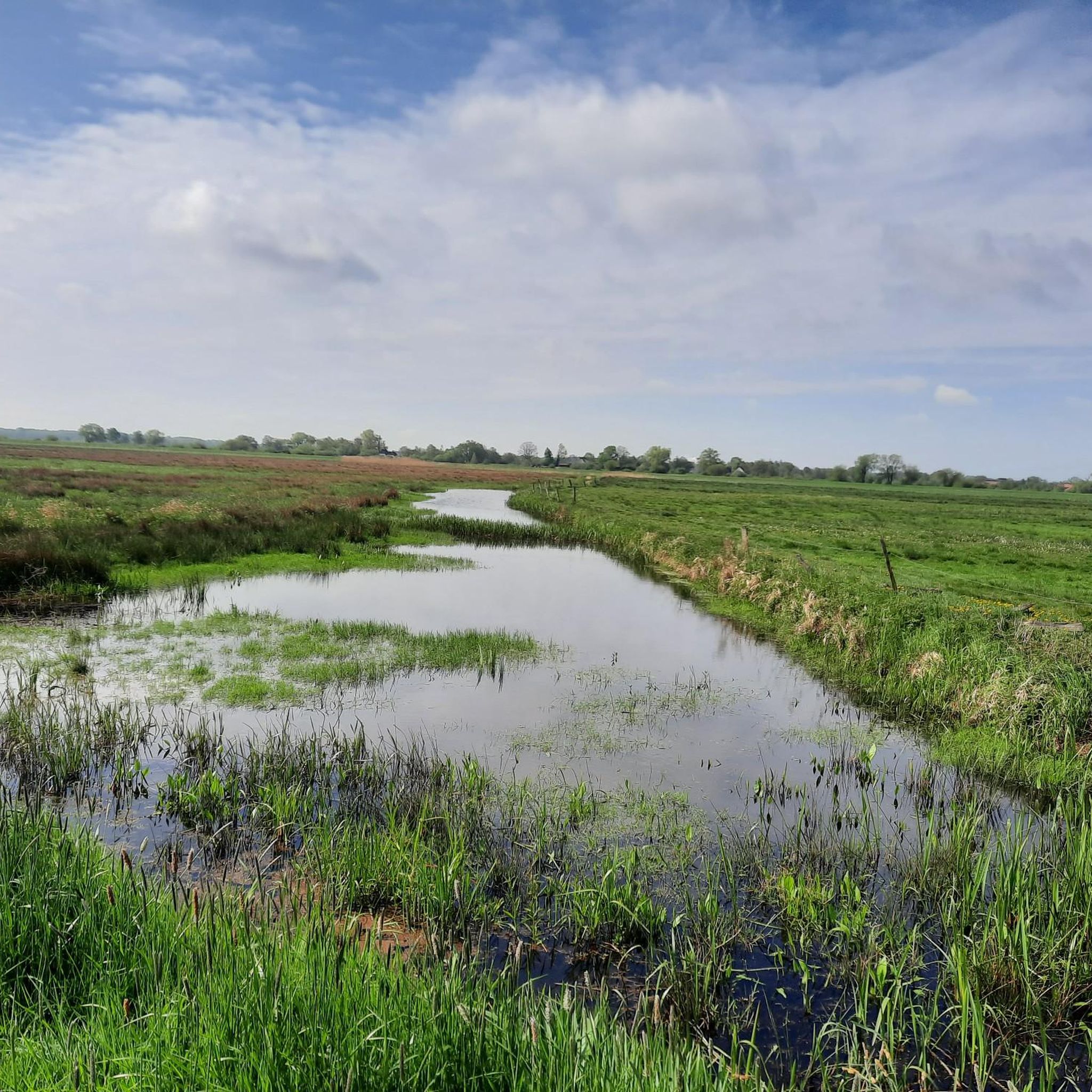
Jogging around Borgfelder Wümmewiesen offers expansive natural features and serene landscapes. The region is characterized by a vast wet meadow landscape, extensive grasslands, numerous ditches, and small bodies of water, with the Wümme River flowing through its southern part. The terrain is generally flat, making it accessible for various levels of physical activity, and features paved paths that traverse the nature reserve. In winter, the area transforms into a regularly flooded meadow landscape.
Best jogging routes around Borgfelder Wümmewiesen
- The…
Last updated: July 1, 2026
5.0
(2)
49
runners
Easy run. Great for any fitness level. Mostly paved surfaces. Suitable for all skill levels.
32
runners
8.99km
00:56
10m
10m
Moderate run. Good fitness required. Mostly paved surfaces. Suitable for all skill levels.

Sign up for free
4.0
(2)
51
runners
Moderate run. Good fitness required. Mostly paved surfaces. Suitable for all skill levels.
10
runners
Moderate run. Good fitness required. Mostly paved surfaces. Suitable for all skill levels.
5.0
(2)
15
runners
7.89km
00:50
10m
10m
Moderate run. Good fitness required. Mostly paved surfaces. Suitable for all skill levels.
Get access to more routes and recommendations from other explorers.
Sign up for free
Already have an account?
Our route recommendations are based on thousands of hikes, rides, and runs completed by other people on komoot.
Start today with a free account
Your next adventure awaits.
Login or Signup
Tips from the Community

Nice to ride the bike!
4
0

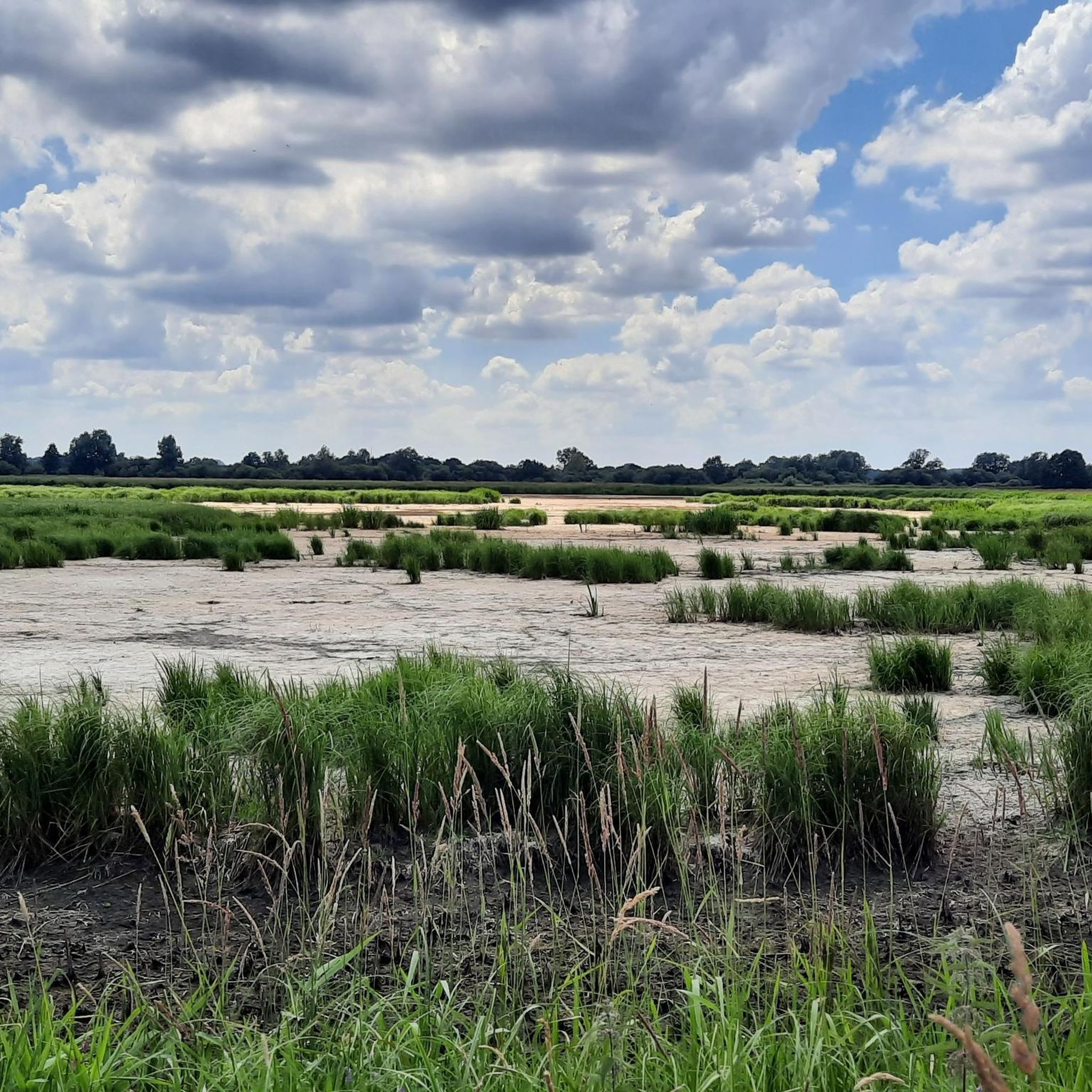
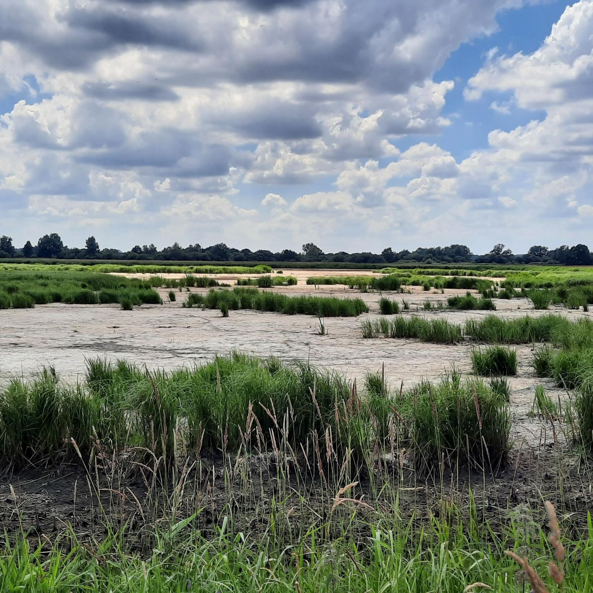
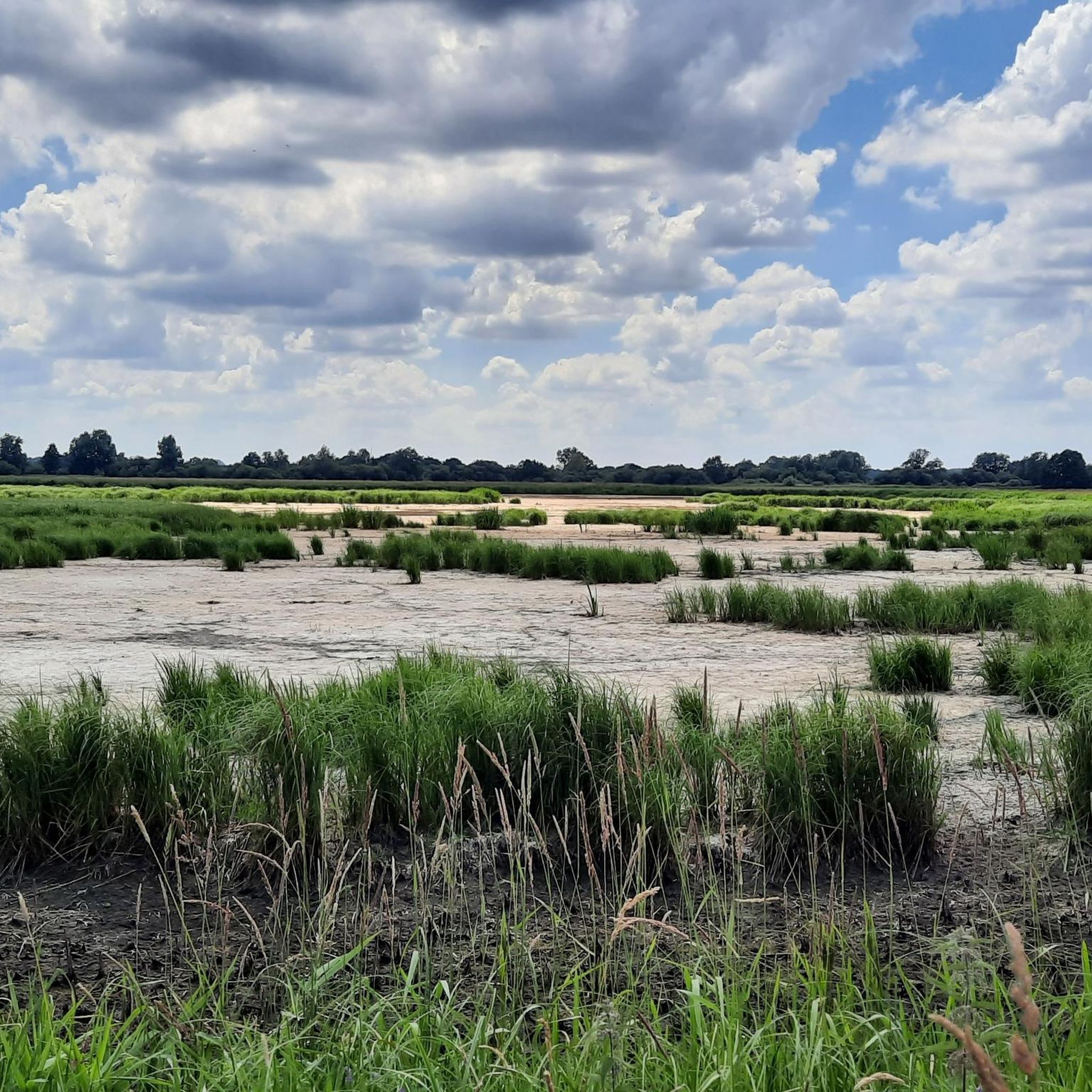
You can enjoy the view over the meadows and pastures for miles at a time. The view is even better from the observation tower.
1
0

How much oomph do you need for a highlight?
0
1
Hopp's Holler rocks.
1
0
Pillegerade + zero gradient = railway line
3
0

The bridge monument "Jan Reiners Bridge" is located on the Jan Reiners cycle path and commemorates the historic railway bridge that once crossed the Wümme. The Jan Reiners Railway, a narrow-gauge railway, ran between Bremen and Tarmstedt from 1900 to 1956. Part of the original bridge has been preserved as a monument and is now a popular resting place for cyclists and hikers on the cycle path. The original bridge had to make way for the construction of a bypass in 2008. However, a fragment of the bridge was erected as a monument on the initiative of the Borgfeld Citizens' Association to commemorate the historical significance of the Jan Reiners Railway.
1
0
The Jan Reiners cycle path is a popular cycle and hiking path that runs along the route of the former Bremen-Tarmstedt narrow-gauge railway. This narrow-gauge railway was in operation from 1900 to 1956 and was named in honor of Johann Reiners, the then chairman of the agricultural association in Lilienthal. The cycle path stretches from Bremen via Lilienthal to Tarmstedt and offers a scenic route through the Teufelsmoor in Lower Saxony. The route leads through idyllic landscapes and small villages, making it ideal for leisurely bike rides and long walks. The path is mostly asphalted and therefore offers good road conditions for cyclists. There are numerous opportunities to rest and refreshments along the way, as well as interesting sights such as the Truper Chapel and the artists' village of Worpswede. The Jan Reiners path is popular not only because of its historical significance, but also because of its scenic beauty and easy accessibility. It starts in Bremen and leads through the Bürgerpark and the Blockland before reaching Lilienthal and continuing to Tarmstedt.
1
0
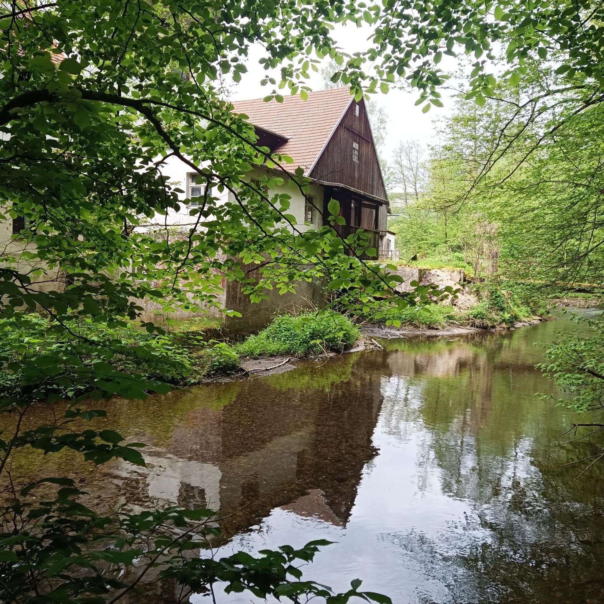
The Wümme is a 121-kilometer-long river in northern Germany that flows through the federal states of Lower Saxony and Bremen. Its source is in the Lüneburg Heath, and it eventually flows into the Lesum, which in turn flows into the Weser. The Wümme partially marks the border between Lower Saxony and Bremen and is the main tributary of the Lesum. Together with the Lesum, the Wümme reaches a total length of 131.2 kilometers. The Wümme flows through several towns and villages, including Lauenbrück, Scheeßel, Rotenburg an der Wümme, Ottersberg, Fischerhude, Lilienthal and Bremen. It is known for its clean water quality and the picturesque landscapes along its course, which are characterized by wide meadows and floodplains.
3
0
Frequently Asked Questions
What is the general terrain like for running in Borgfelder Wümmewiesen?
The terrain in Borgfelder Wümmewiesen is generally flat, making it accessible for various levels of physical activity. It features a vast wet meadow landscape with extensive grasslands, numerous ditches, and small bodies of water. Paved paths traverse the nature reserve, offering clear and easy routes.
Are there many running routes available in Borgfelder Wümmewiesen?
Yes, Borgfelder Wümmewiesen offers a wide selection of running routes. There are over 680 routes available, catering to different ability levels, from easy paths to more moderate trails.
Are there any easy or beginner-friendly jogging routes in the area?
Absolutely. Borgfelder Wümmewiesen has 65 easy routes perfect for beginners or those looking for a relaxed run. An excellent option is the View of Tenter See – Borgfelder Deich loop from Lilienthal, an easy 3.1-mile (5.0 km) path offering scenic views.
What kind of natural features or landmarks can I expect to see while jogging?
While running, you'll experience the expansive wet meadow landscape, the Wümme River, and largely treeless expanses. Notable points of interest include the Borgfelder Wümmewiesen Nature Reserve itself, scenic views of the Wümmewiesen, and the Observation Tower at Hollerdeich, which provides panoramic views of the birdlife and landscape.
Are there any circular running routes in Borgfelder Wümmewiesen?
Yes, the area offers several circular trails, enhancing the running experience. For example, the Borgfelder Wümme Bridge – Wümme River at Borgfeld loop from Lilienthal is a moderate 3.8-mile (6.1 km) circular route that takes you along the Wümme River.
What do other runners enjoy most about the trails in Borgfelder Wümmewiesen?
The running routes in Borgfelder Wümmewiesen are highly rated by the komoot community, with an average score of 4.5 stars from nearly 1,000 reviews. Runners often praise the serene landscapes, the continuous views across the open meadow, and the peaceful environment, especially the 'wide open skies and silence'.
Is Borgfelder Wümmewiesen suitable for long-distance running?
While many routes are moderate in length, the extensive network and generally flat terrain allow for combining paths to create longer runs. The Wümme Bridge – Wörpe Cycle Path loop from Lilienthal is a good starting point for longer distances, covering 5.6 miles (9.0 km) through the Wümme River area.
What is the best time of year to go jogging in Borgfelder Wümmewiesen?
Borgfelder Wümmewiesen offers a unique experience year-round. While pleasant in warmer months, the winter transforms the area into a picturesque 'lake district' due to regular flooding, providing a visually stimulating and unique environment for winter jogging. The largely treeless expanse means continuous views regardless of the season.
Are there any routes that offer good viewpoints?
Yes, several routes provide excellent viewpoints. The View of Tenter See – Wilhelm Kaisen Monument loop from Katrepel offers scenic vistas, and the Observation Tower at Hollerdeich is a specific highlight designed for panoramic views of the Wümmewiesen and its diverse birdlife.
Is Borgfelder Wümmewiesen suitable for family-friendly running or walks?
Given its generally flat terrain and paved paths, Borgfelder Wümmewiesen is well-suited for family outings, including jogging or walking. The serene environment and open spaces make it a pleasant experience for all ages.
Are the running trails in Borgfelder Wümmewiesen dog-friendly?
While the guide does not specify dog-friendly routes, nature reserves often have regulations regarding dogs. It's generally advisable to keep dogs on a leash to protect the local wildlife, especially meadow birds, and to ensure a pleasant experience for all visitors. Always check local signage for specific rules.
How can I get to the jogging routes using public transport?
The guide does not provide specific public transport details for accessing the routes. However, Borgfelder Wümmewiesen is located near Bremen, so checking local bus or tram connections to the Borgfeld or Lilienthal areas would be the best approach to find suitable access points.
Are there parking facilities available near the running trails?
The guide does not explicitly list parking facilities. However, for routes starting from locations like Borgfeld or Lilienthal, there are typically public parking options available in or near these residential areas, which would provide access to the nature reserve's trails.
Most popular routes around Borgfelder Wümmewiesen
Most popular attractions around Borgfelder Wümmewiesen

Get inspired with the komoot mobile app


Explore more
Browse the best Running Trails & Routes in other regions.
