The best walks and hikes around Esparragosa De Lares
4.5
(5)
45
hikers
11
hikes
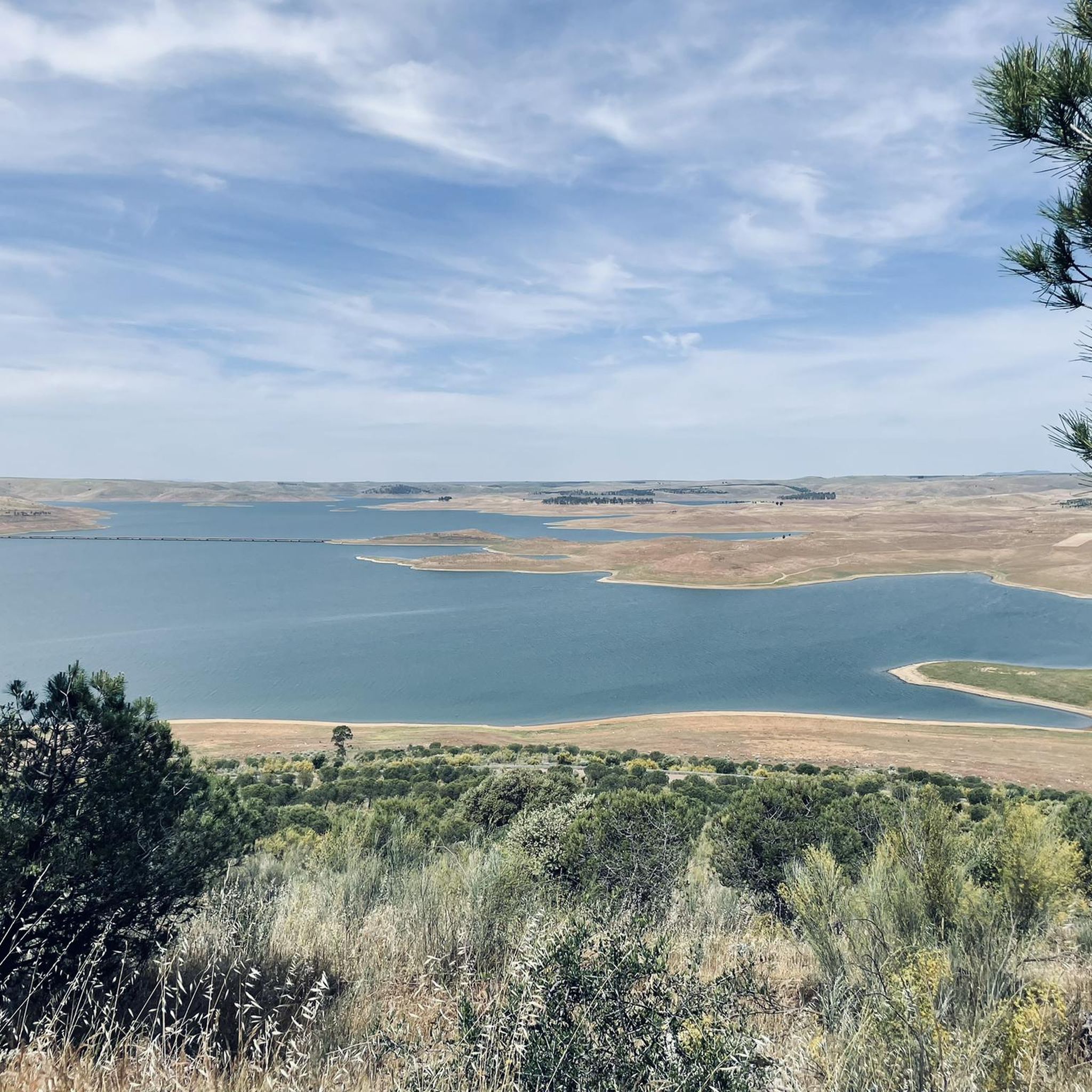
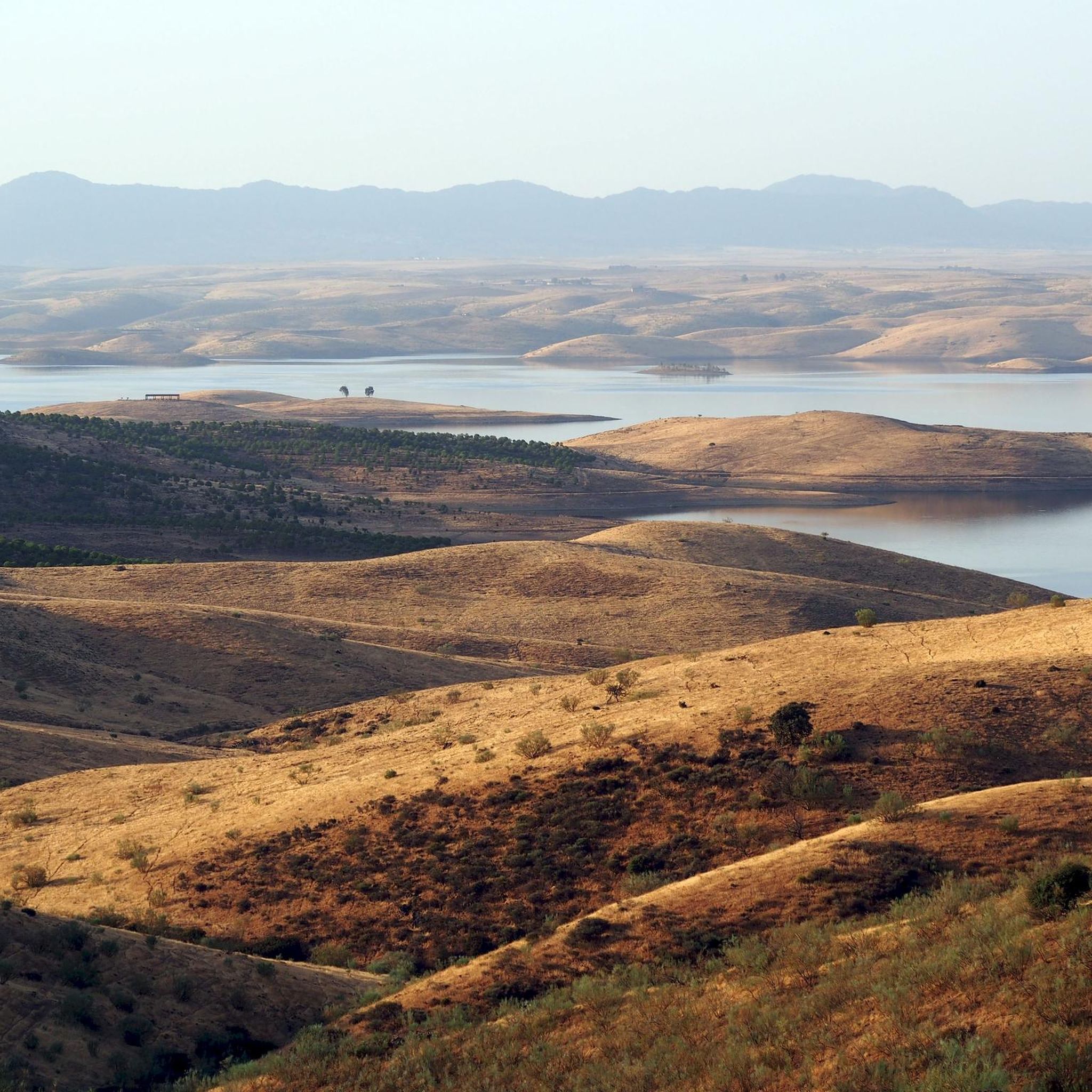
Hiking around Esparragosa De Lares offers routes through a landscape characterized by large reservoirs, including the Embalse de Orellana and Embalse de la Serena. The terrain features rolling hills and low mountain ranges like the Sierra del Castillo and Sierra de Pela. This area provides a mix of Mediterranean scrubland and botanical interest, with many trails offering views over the water.
Best hiking trails around Esparragosa De Lares
- The most popular hiking route is Cerro Masatrigo Botanical Trail (SL-BA 198)…
Last updated: July 7, 2026
16
hikers
4.59km
01:26
130m
130m
Hard hike. Great for any fitness level. Sure-footedness, sturdy shoes and alpine experience required.
2
hikers
Moderate hike. Good fitness required. Easily-accessible paths. Suitable for all skill levels.

Sign up for free
5.0
(1)
1
hikers
Moderate hike. Good fitness required. Easily-accessible paths. Suitable for all skill levels.
Hard hike. Very good fitness required. Easily-accessible paths. Suitable for all skill levels.
1
hikers
Moderate hike. Good fitness required. Easily-accessible paths. Suitable for all skill levels.
Get access to more routes and recommendations from other explorers.
Sign up for free
Already have an account?
Our route recommendations are based on thousands of hikes, rides, and runs completed by other people on komoot.
Start today with a free account
Your next adventure awaits.
Login or Signup
Popular around Esparragosa De Lares
Tips from the Community

It's a historic bridge located over the Guadiana River, near the pre-Roman ruins of Lacimurga. It's part of the Senda de los Embalses (Reservoirs Path), a popular hiking and nature trail.
5
0
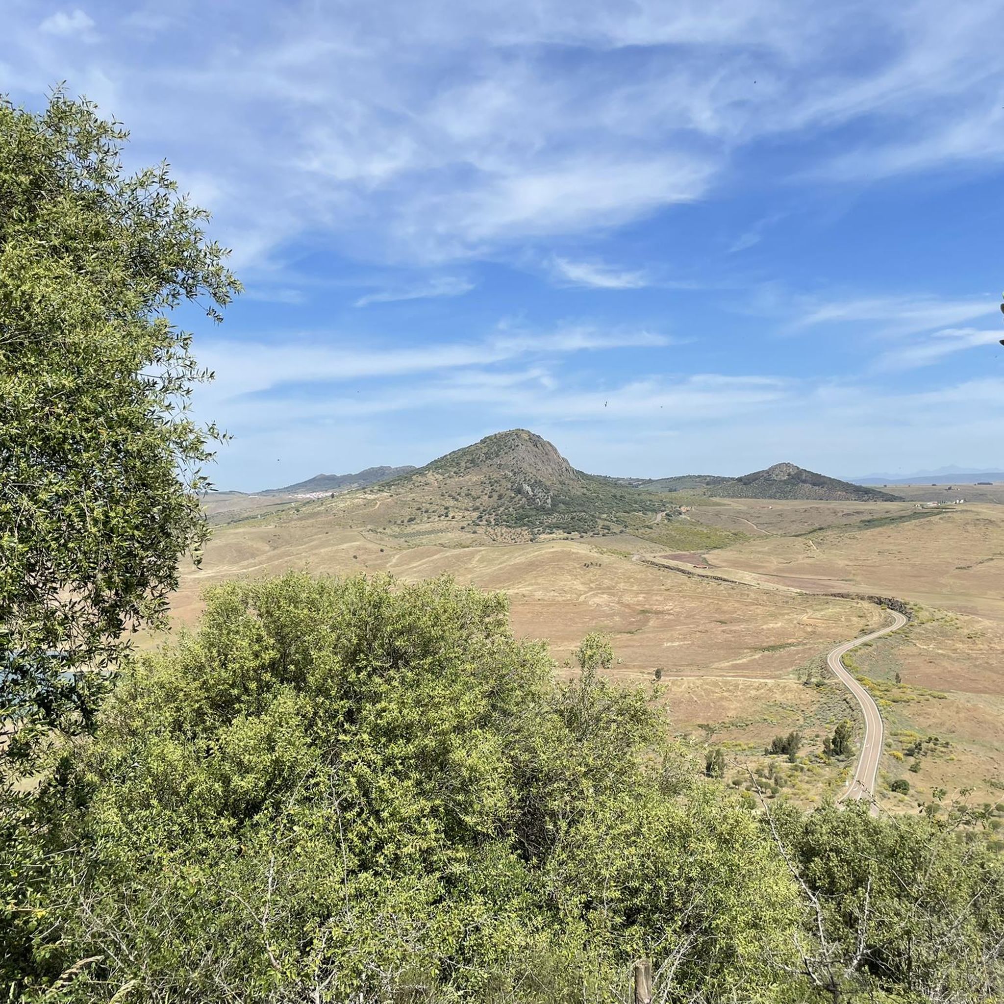
Cerro Masatrigo is a hill located in the municipality of Esparragosa de Lares. This hill is known for its almost perfect conical shape, which has earned it the nickname "the magic mountain" It rises 501 meters above sea level and 161 meters above the surrounding terrain. After the construction of the La Serena Dam, Cerro Masatrigo became a peninsula surrounded by the waters of the reservoir.
7
0
The castle of Puebla de Alcocer is an imposing fortress built during the 12th and 13th centuries, and remodeled in the 15th century by Don Gutierre de Sotomayor, master of the Order of Alcántara. It is located in an elongated rocky mass, at the highest point of Puebla de Alcocer, from where the movements of the adversaries were monitored for kilometers around. Today, the regions of La Serena and La Siberia can be seen, and the fortification can be seen from various points.
6
0

A picturesque bridge over the Orellana reservoir, which ends with a tunnel excavated in the rock. Beautiful views.
1
1
Roman Villa of Lacimurga. These ruins are located in the place known as Cogolludo. It is a very pleasant place, next to the Guadiana river.
13
0
Cerro Masatrigo has impressive views from Galizuela, where there is also a celestial viewpoint that shines at night.
12
2
This town, popularly known as Orellanita, is connected, according to some legends, with Roman times, specifically with a Roman legion called Aurelia, supposedly based in this place, from which the place name Aureliana would have arisen and, from it, Orellana. In its medieval times it is located in the population privilege granted by Enrique II to Alvar García Bejarano, owner of the castle of the Bejaranos and who would change his title to that of Orellana.
13
0
Esparragosa de Lares sits on the western edge of the area known as La Siberia, a name that refers not to the harshness of the climate, but to the distance from the capital of the province. In front of the town the immense plains of the Zújar valley open up, being a landscape of great natural beauty due to its grandeur. Part of these spaces; Before meadows of holm oaks and cork oaks, pastures and barren areas, they are covered by the waters of the Zújar dam and the gigantic La Serena dam.
12
1
Frequently Asked Questions
How many hiking trails are available around Esparragosa De Lares?
There are 10 hiking routes in the Esparragosa De Lares area, offering a variety of experiences through its reservoir-side paths, rolling hills, and Mediterranean vegetation.
Are there any easy hiking trails suitable for beginners in Esparragosa De Lares?
Yes, there are 2 easy hiking routes available. These trails are generally shorter and have less elevation gain, making them ideal for a relaxed walk.
What are some challenging hikes for experienced hikers in the region?
For those seeking a challenge, there are 3 difficult routes. One notable option is the Cerro Masatrigo Botanical Trail (SL-BA 198), which ascends Cerro Masatrigo and offers botanical insights.
Are there any circular walks around Esparragosa De Lares?
Yes, several routes are circular. For example, the Orellana la Vieja from Playa de las Casetas – circular by the Embalse and Canal de Orellana is a moderate 10.3-mile path exploring the Embalse de Orellana.
What kind of natural landmarks or viewpoints can I expect to see on the trails?
The region is characterized by large reservoirs like the Embalse de Orellana and Embalse de la Serena. Many trails offer views over the water. You can also find viewpoints such as the View of Cerro Masatrigo from Mirador Celeste de Galizuela, which is part of the Mirador Celeste de Galizuela from Puebla de Alcocer route.
Are there any historical sites or attractions near the hiking routes?
Yes, the area features several historical and cultural attractions. You can explore the Castle of Puebla de Alcocer or the Castle and Palace of the Orellana. Some routes, like the Mirador Celeste de Galizuela from Puebla de Alcocer, pass by such landmarks.
What do other hikers enjoy most about hiking in Esparragosa De Lares?
The area is highly rated by the komoot community, with an average score of 4.5 stars. Reviewers often praise the varied terrain, including reservoir-side paths and rolling hills, and the opportunities to explore Mediterranean vegetation.
What is the typical length and duration of hikes in Esparragosa De Lares?
Hikes in the region vary in length and duration. You can find shorter trails like the Cerro Masatrigo Botanical Trail, which is 2.8 miles (4.6 km) and takes about 1 hour 26 minutes, to longer routes such as the Puente Cogolludo from Orellana de la Sierra, spanning 12 miles (19.3 km).
Are there any trails that offer views of the Sierra del Castillo or Sierra de Pela?
Yes, the terrain includes low mountain ranges like the Sierra del Castillo and Sierra de Pela. The Esparragosa de Lares from Puebla de Alcocer – circular by the Sierra del Castillo route specifically explores the Sierra del Castillo area.
What is the best time of year to go hiking in Esparragosa De Lares?
The region experiences a Mediterranean climate. Spring and autumn generally offer the most pleasant temperatures for hiking. Summers can be very hot, making early morning or late afternoon hikes preferable, especially near the reservoirs. Winters are mild, allowing for hiking year-round, though some trails might be muddy after rain.
Are there any trails that pass by the Embalse de Orellana or Embalse de la Serena?
Many routes in the area feature these prominent reservoirs. The Orellana la Vieja from Playa de las Casetas route explores the Embalse de Orellana, while the Mirador Celeste de Galizuela from Puebla de Alcocer leads around the Embalse de la Serena.
Most popular routes around Esparragosa De Lares
Most popular attractions around Esparragosa De Lares

Get inspired with the komoot mobile app


Explore more
Browse the best Hikes in other regions.
