The best walks and hikes around Torralba De Ribota
4.4
(28)
181
hikers
39
hikes
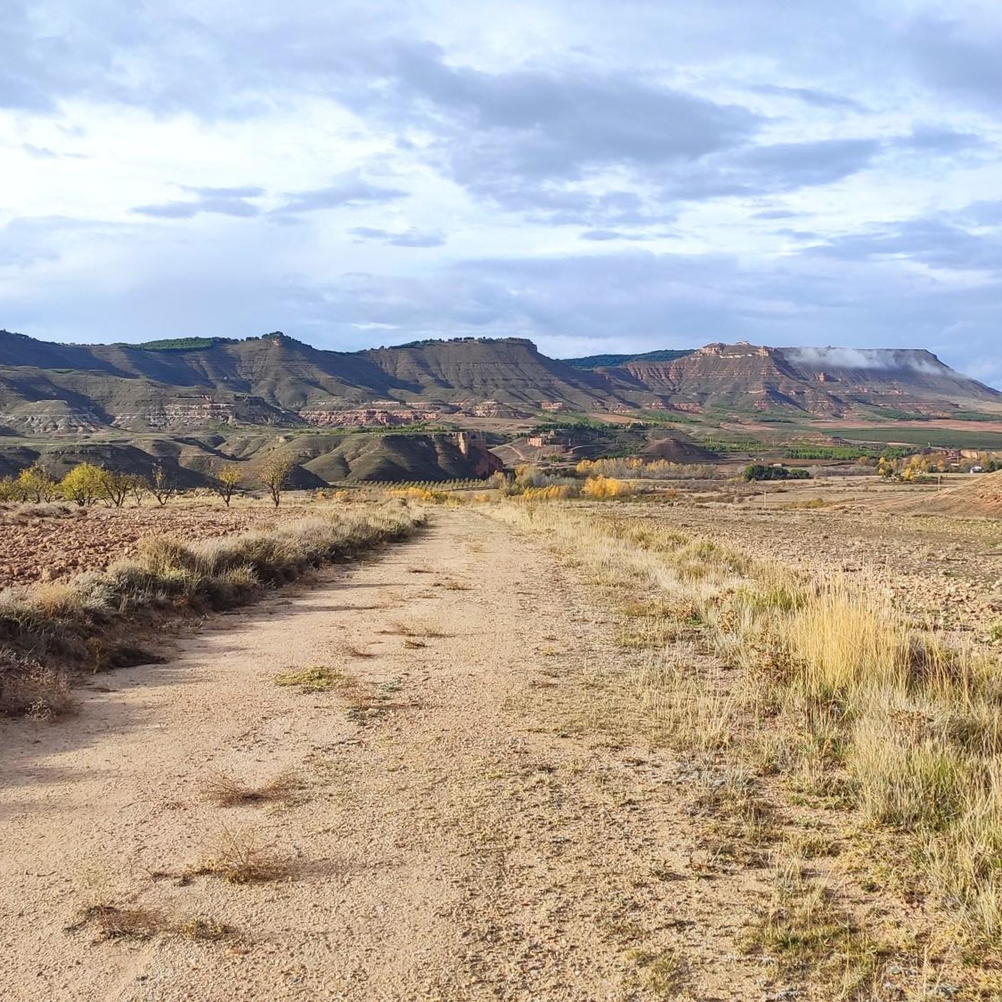
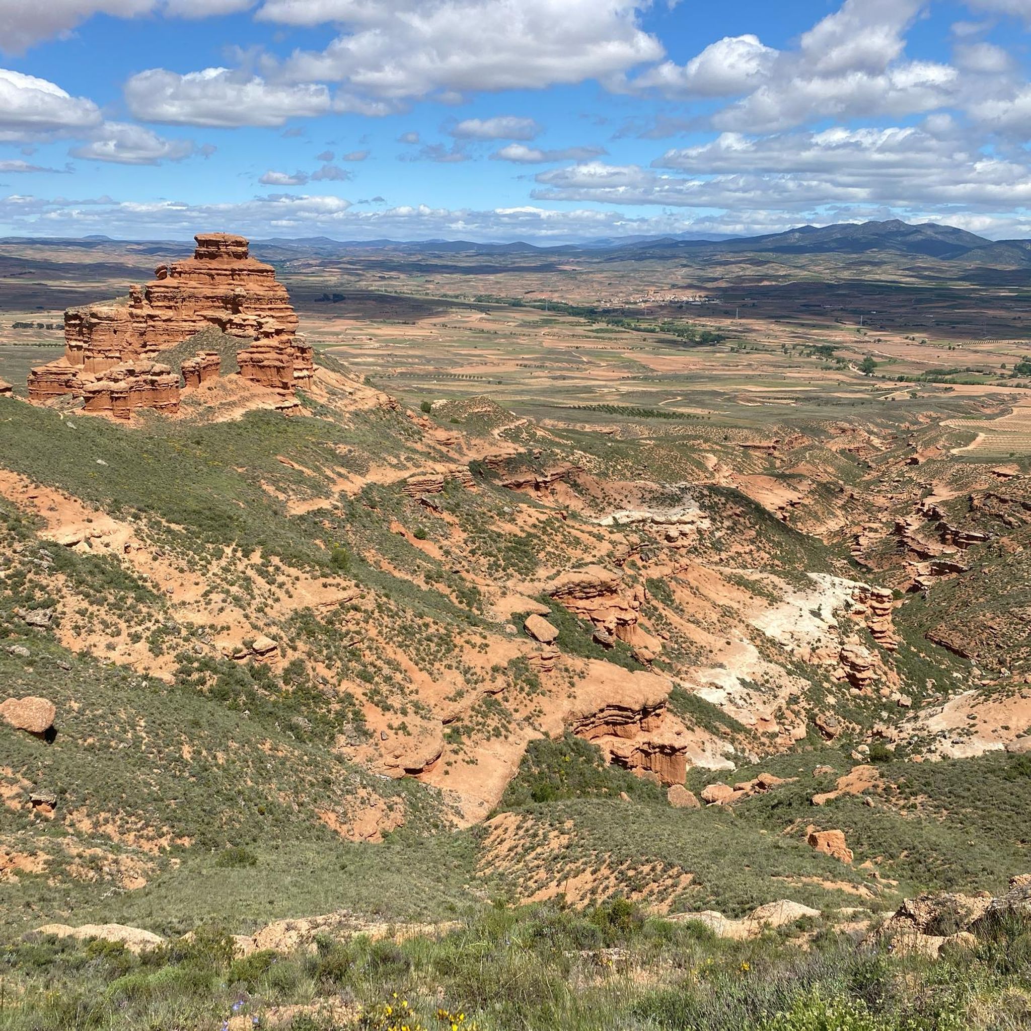
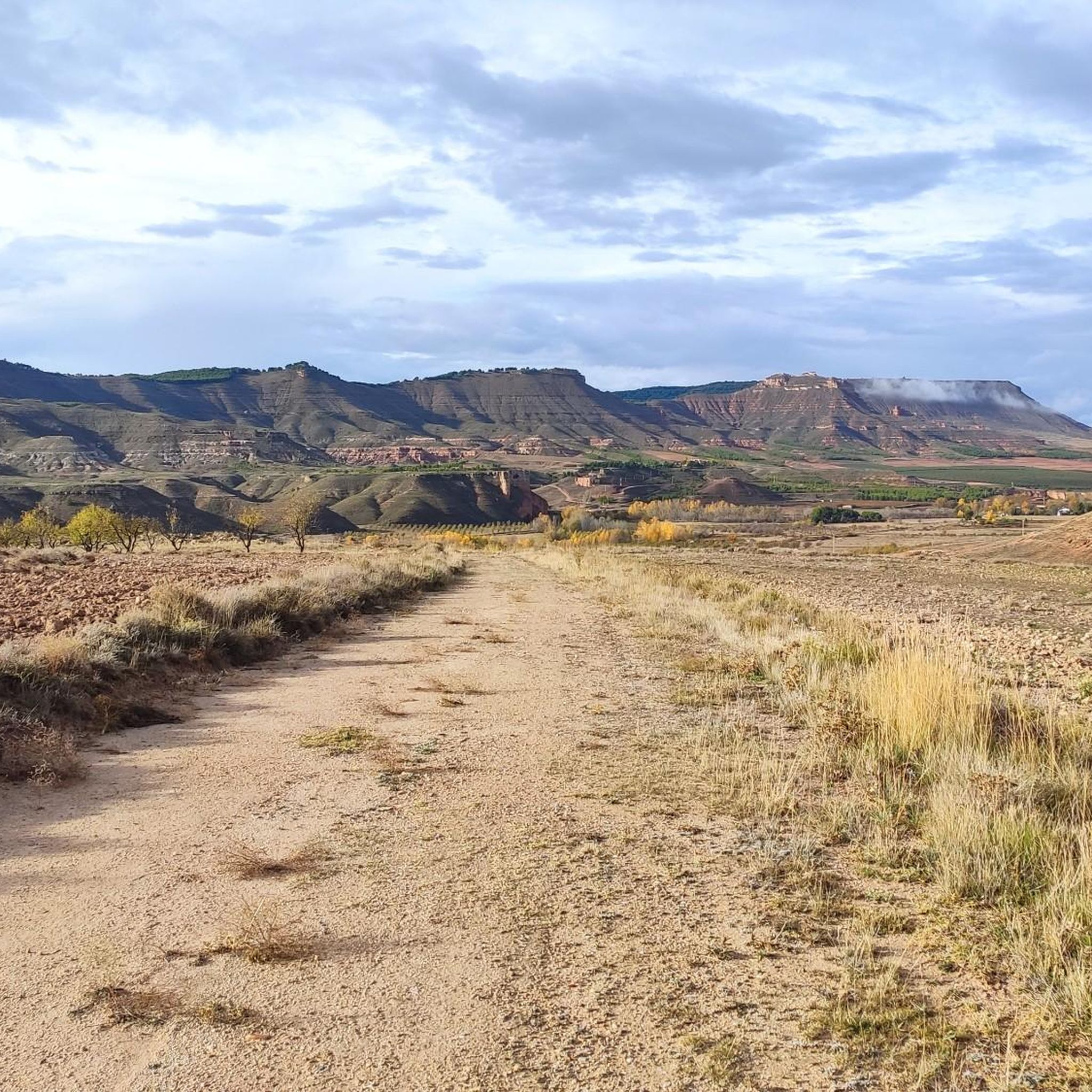
Hiking around Torralba De Ribota reveals a diverse landscape characterized by the unique geological formations of Sierra de Armantes, often referred to as "lunar landscapes" due to its eroded red clays and white gypsum. To the north, the Sierra de la Virgen contributes varied topography with Mediterranean forests of pines and holm oaks. The region also features agricultural areas and open fields along the Ribota river valley.
Best hiking trails around Torralba De Ribota
- The most popular hiking route is…
Last updated: October 17, 2026
5.0
(4)
17
hikers
18.0km
05:06
380m
380m
Hard hike. Very good fitness required. Mostly accessible paths. Sure-footedness required.
4.8
(5)
24
hikers
16.1km
04:39
390m
390m
Moderate hike. Good fitness required. Easily-accessible paths. Suitable for all skill levels.

7
hikers
5.44km
01:37
150m
160m
Easy hike. Great for any fitness level. Easily-accessible paths. Suitable for all skill levels.
5
hikers
12.0km
03:16
180m
180m
Moderate hike. Good fitness required. Easily-accessible paths. Suitable for all skill levels.
3.0
(1)
4
hikers
5.14km
01:23
70m
70m
Easy hike. Great for any fitness level. Easily-accessible paths. Suitable for all skill levels.
Get access to more routes and recommendations from other explorers.
Already have an account?
Our route recommendations are based on thousands of hikes, rides, and runs completed by other people on komoot.
Start today with a free account
Your next adventure awaits.

Tips from the Community

Beautiful basilica in the city of Calatayud where the interior stands out with an altar and impressive baroque wooden altarpieces. It is the most important basilica of the order of the Holy Sepulcher of Jerusalem in Spain.
1
0
We are in the Sierra de Armantes, in a place shaped by wind and water. We would not say that we are in Zaragoza! What a beautiful print and what contrasts of colors, apart from some impressive views. It will remind us of the Far West, what's more, in Zaragoza they call it the Bilbilitano Far West.
4
1
On our arrival at Cruz de Armantes, we will be surrounded by a beautiful landscape of the Ribota valleys. A picture that will surely force us to take out our cameras to photograph.
2
1
We are in the Sierra de Armantes, in a place shaped by wind and water. We would not say that we are in Zaragoza! What a beautiful picture and what color contrasts, apart from impressive views. It will remind us of the Far West
3
0

The landmark of the city of Calatayud, which was under Muslim rule until the 12th century, are clearly the two towers of the churches of Santa María la Mayor and San Andrés, which together form the unmistakable silhouette of the city, especially beautiful at sunset. Many buildings are in the Mudejar architectural style, declared a World Heritage Site.
1
0
Frequently Asked Questions
How many hiking trails are available in Torralba De Ribota?
There are over 20 hiking trails around Torralba De Ribota, offering a diverse range of experiences from easy walks to more challenging routes through varied landscapes.
What kind of landscapes can I expect to see while hiking in Torralba De Ribota?
Hikers in Torralba De Ribota will encounter a diverse landscape. The most striking are the 'lunar landscapes' and unique geological formations, often called 'Los Castillos,' in the Sierra de Armantes, formed by eroded red clays and white gypsum. You'll also find Mediterranean forests with pines and holm oaks in the Sierra de la Virgen, alongside agricultural areas and open fields in the Ribota river valley.
Are there any easy hiking trails suitable for beginners or families?
Yes, Torralba De Ribota offers 6 easy hiking routes. One option is The Castles – Cruz de Armantes loop from Los Llanos de Muñoz, which is 3.8 miles (6.2 km) long and takes about 1 hour 48 minutes to complete, providing a good introduction to the unique 'Castillos' formations.
What are some notable natural features or landmarks to look out for on the trails?
The region is rich in natural features. The most prominent are the 'Castillos' formations in the Sierra de Armantes, with imaginative figures like 'la palomica' and 'el gorro del cura'. You can also visit the Cruz de Armantes, which offers panoramic views. The historic Embalse de La Hoz, a tranquil reservoir, is another point of interest.
Are there any circular hiking routes in the area?
Yes, several circular routes are available. The Sierra de Armantes: Castillos and Cruz de Armantes Loop is a challenging 11.2-mile (18.0 km) option. For a moderate experience, consider The Castles – Cruz de Armantes loop from Azud Sagrado, which covers 10.0 miles (16.1 km).
What is the best time of year to go hiking in Torralba De Ribota?
The region is suitable for hiking throughout the year. However, spring and autumn are particularly recommended for routes like the 'Ruta "La Mina" to Embalse de La Hoz' due to pleasant temperatures and vibrant scenery. These seasons offer ideal conditions to explore both the agricultural zones and Mediterranean forests.
What do other hikers enjoy most about the trails in Torralba De Ribota?
The trails in Torralba De Ribota are highly rated by the komoot community, with an average score of 4.4 stars from 13 reviews. Hikers often praise the unique geological formations of the Sierra de Armantes, the varied terrain, and the opportunity to explore both dramatic natural sights and peaceful Mediterranean forests.
Are there any trails that offer significant viewpoints?
Absolutely. The 'Los Castillos' Route in Sierra de Armantes leads to viewpoints like the metallic cross at 973m altitude, offering spectacular panoramic views of the Moncayo, Vicor, and Virgen mountain ranges. The Cruz de Armantes is a specific summit known for its vistas.
Are there any trails that pass by historical sites or points of interest?
Yes, the 'Ruta "La Mina" to Embalse de La Hoz' ascends to the Embalse de La Hoz, a historic small dam built between 1913 and 1916 for traditional irrigation. The SL-Z 33 route also connects various points of interest, including the hermitages of Virgen del Camino and Virgen de la Cigüela.
Is there public transport available to reach the hiking areas?
While specific public transport routes directly to trailheads are limited, Torralba de Ribota is accessible. It's advisable to check local bus schedules or consider driving, as many trails begin near the village or accessible points like the municipal pools.
Are there opportunities for mountain biking on the trails?
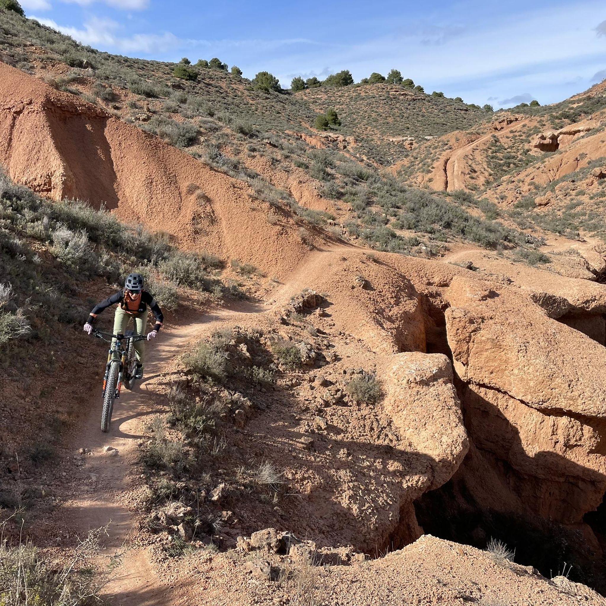
Yes, some trails are suitable for mountain biking. The 'Sendero Circular – Camino de la Sierra' is explicitly mentioned as being suitable for both walking and mountain biking, offering a moderate challenge through cultivated areas and Mediterranean forest.
What is the general difficulty level of hiking in Torralba De Ribota?
The hiking trails in Torralba De Ribota cater to various fitness levels. Out of 22 routes, 6 are easy, 12 are moderate, and 4 are considered difficult. This means you can find options ranging from gentle strolls to more challenging ascents with significant elevation changes.
Most popular routes around Torralba De Ribota
Most popular attractions around Torralba De Ribota

Get inspired with the komoot mobile app


Explore more
Browse the best Hikes in other regions.
