The best walks and hikes around Breil/Brigels
4.6
(348)
2,531
hikers
55
hikes
Hiking around Breil/Brigels, located in the Surselva region of the Swiss canton of Graubünden, offers access to an extensive network of trails within an Alpine setting. The landscape is characterized by towering peaks such as Péz Tumpiv and Kistenstöckli, lush forests, and crystal-clear mountain lakes like Lake Pradas and Lag da Pigniu. Hikers can explore diverse terrain, from idyllic high-altitude valleys like Val Frisal to routes offering panoramic views of the valley and surrounding mountains. The region provides varied hiking opportunities across its natural features.
Best hiking trails around Breil/Brigels
- The most popular hiking route is Lake Pradas – Lake Brigels loop from Breil/Brigels, a 5.9 miles (9.5 km) trail that takes 2 hours 50 minutes to complete. This moderate route offers scenic views around two mountain lakes.
- Another top favourite among local hikers is Hochtal Val Frisal, a difficult 7.2 miles (11.6 km) path. This trail leads through a serene high-altitude valley, requiring good fitness and sure-footedness.
- Local hikers also love the Biferten SAC Hut – Rubi Sura (2172 m) loop from Breil/Brigels, a 13.2 miles (21.2 km) trail leading through alpine terrain, often completed in about 8 hours 55 minutes.
- Hiking around Breil/Brigels is defined by towering peaks, lush forests, and crystal-clear mountain lakes. The network offers options for various ability levels, from leisurely walks to demanding alpine expeditions.
- The routes in Breil/Brigels are highly rated by the komoot community with an average score of 4.7 stars from more than 300 reviews. More than 2500 hikers have used komoot to explore Breil/Brigels's varied terrain.
Last updated: October 10, 2026
4.7
(96)
606
hikers
11.6km
04:24
630m
630m
Hard hike. Good fitness required. Sure-footedness, sturdy shoes and alpine experience required.
4.5
(31)
192
hikers
21.3km
08:56
1,360m
1,360m
Hard hike. Very good fitness required. Sure-footedness, sturdy shoes and alpine experience required.

4.6
(29)
135
hikers
9.47km
02:59
300m
300m
Moderate hike. Good fitness required. Mostly accessible paths. Sure-footedness required.
4.7
(11)
136
hikers
18.2km
07:01
880m
880m
Hard hike. Very good fitness required. Sure-footedness, sturdy shoes and alpine experience required.
4.9
(14)
93
hikers
14.7km
05:29
830m
840m
Hard hike. Very good fitness required. Sure-footedness, sturdy shoes and alpine experience required.
Get access to more routes and recommendations from other explorers.
Already have an account?
Our route recommendations are based on thousands of hikes, rides, and runs completed by other people on komoot.
Start today with a free account
Your next adventure awaits.
Popular around Breil/Brigels
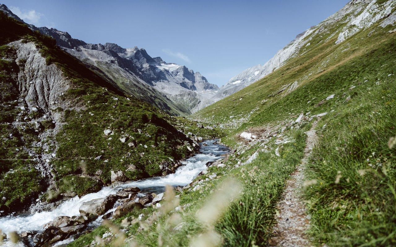
Relax and enjoy – hiking highlights of the Surselva

On ancient paths towards Santiago — the Way of St. James Graubünden

Winter Magic in the Surselva – peace, space and pure nature
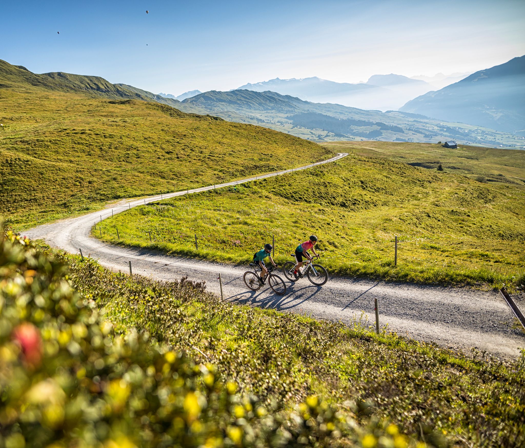
The six most beautiful gravel routes in Graubünden
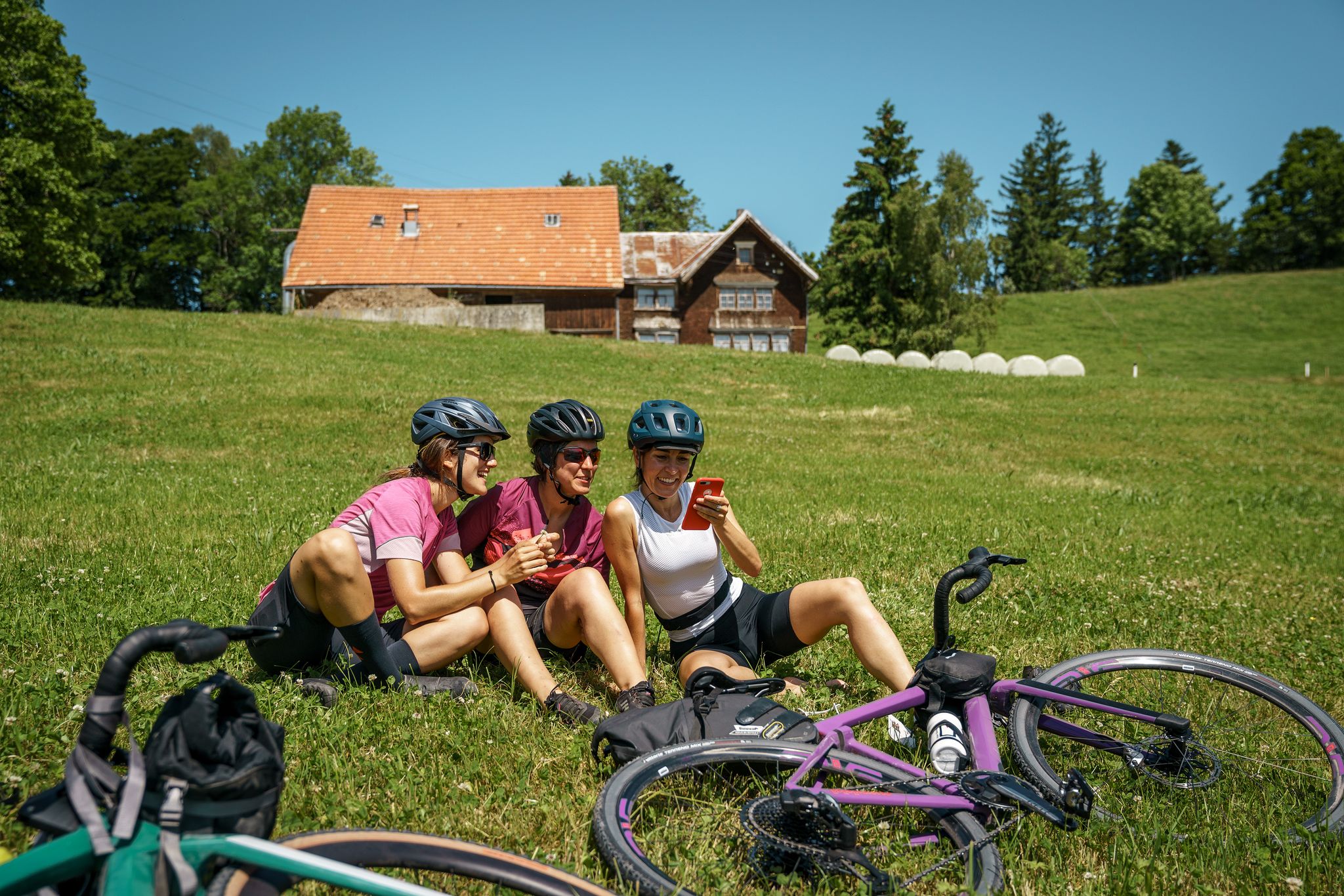
100% Women: essential Switzerland on a gravel bike
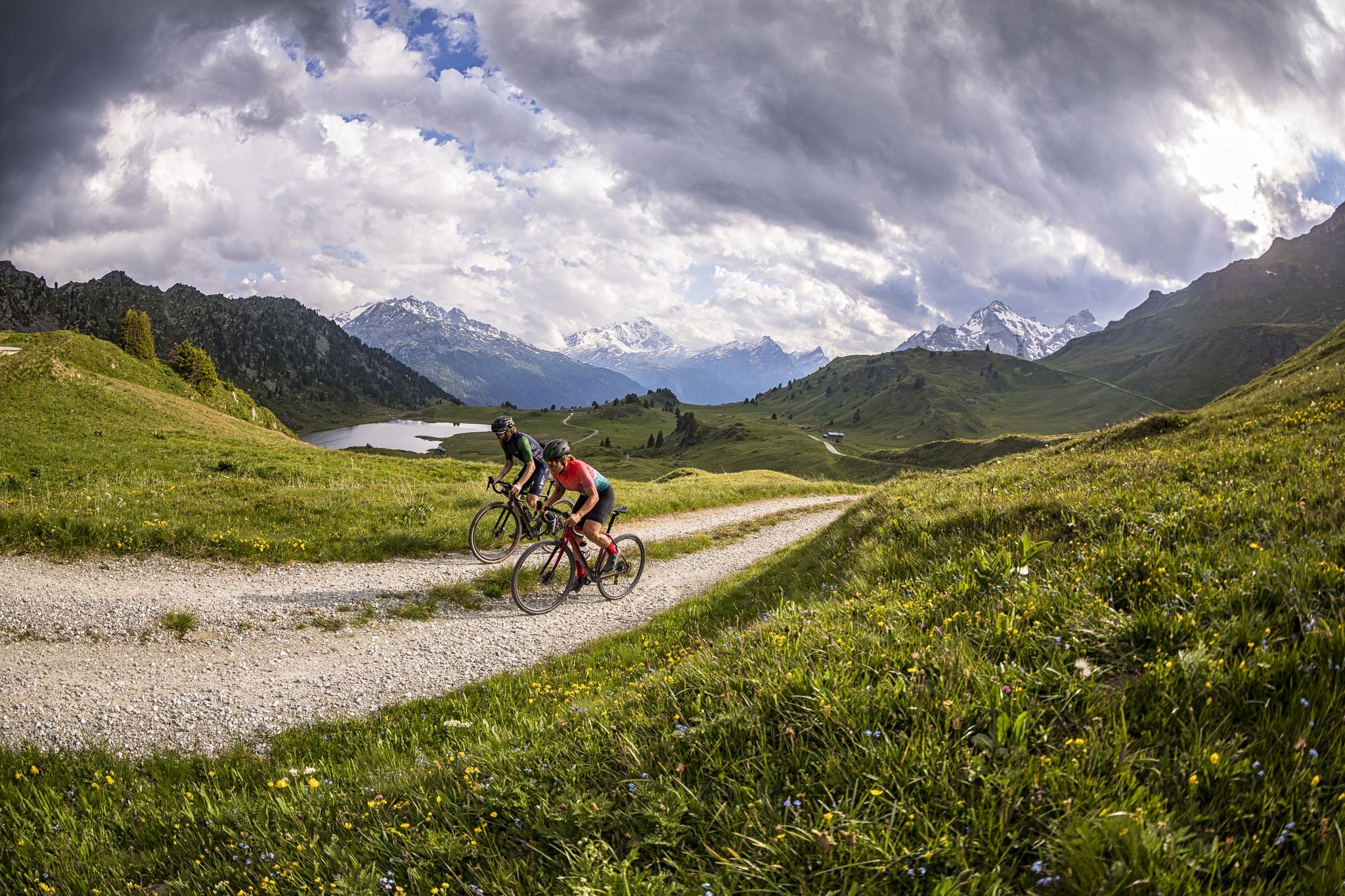
A gravel biking Menu for Switzerland’s Grisons
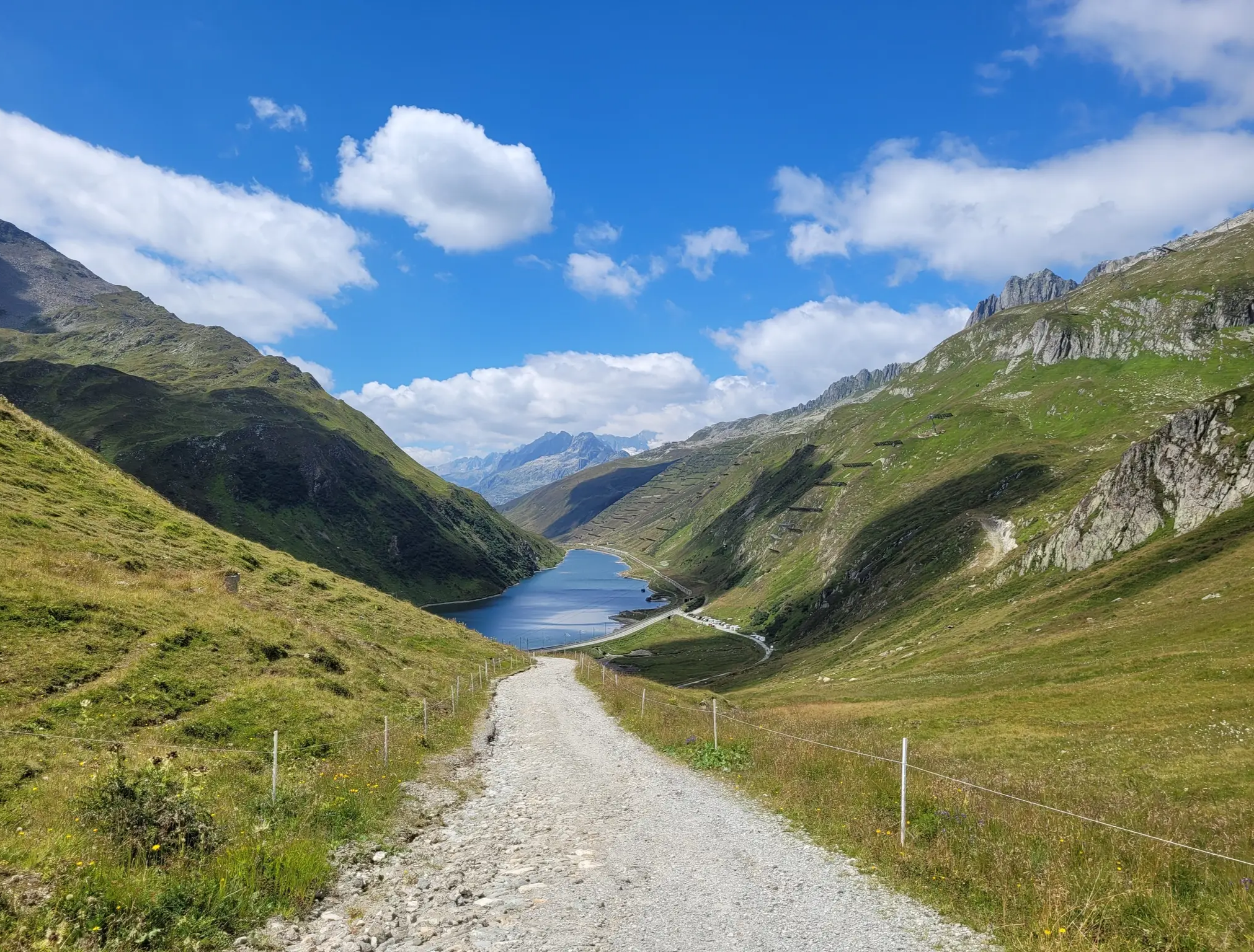
Senda Sursilvana – lungo il Giovane Reno tra natura e tradizione
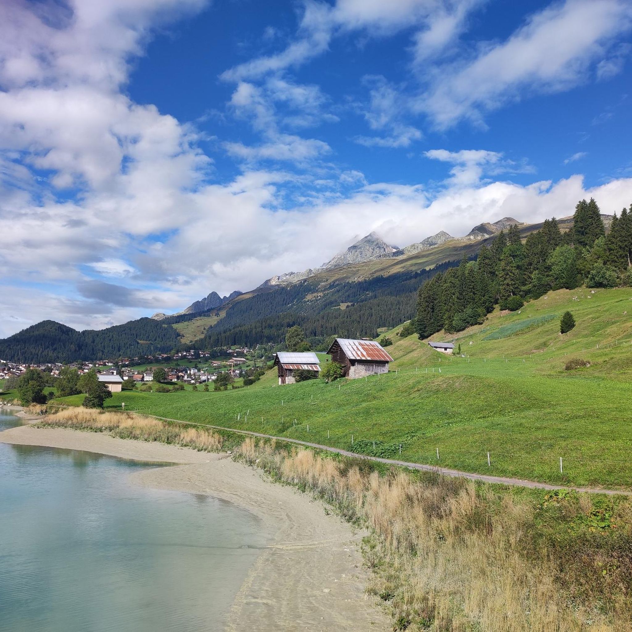
MTB Trails around Breil/Brigels
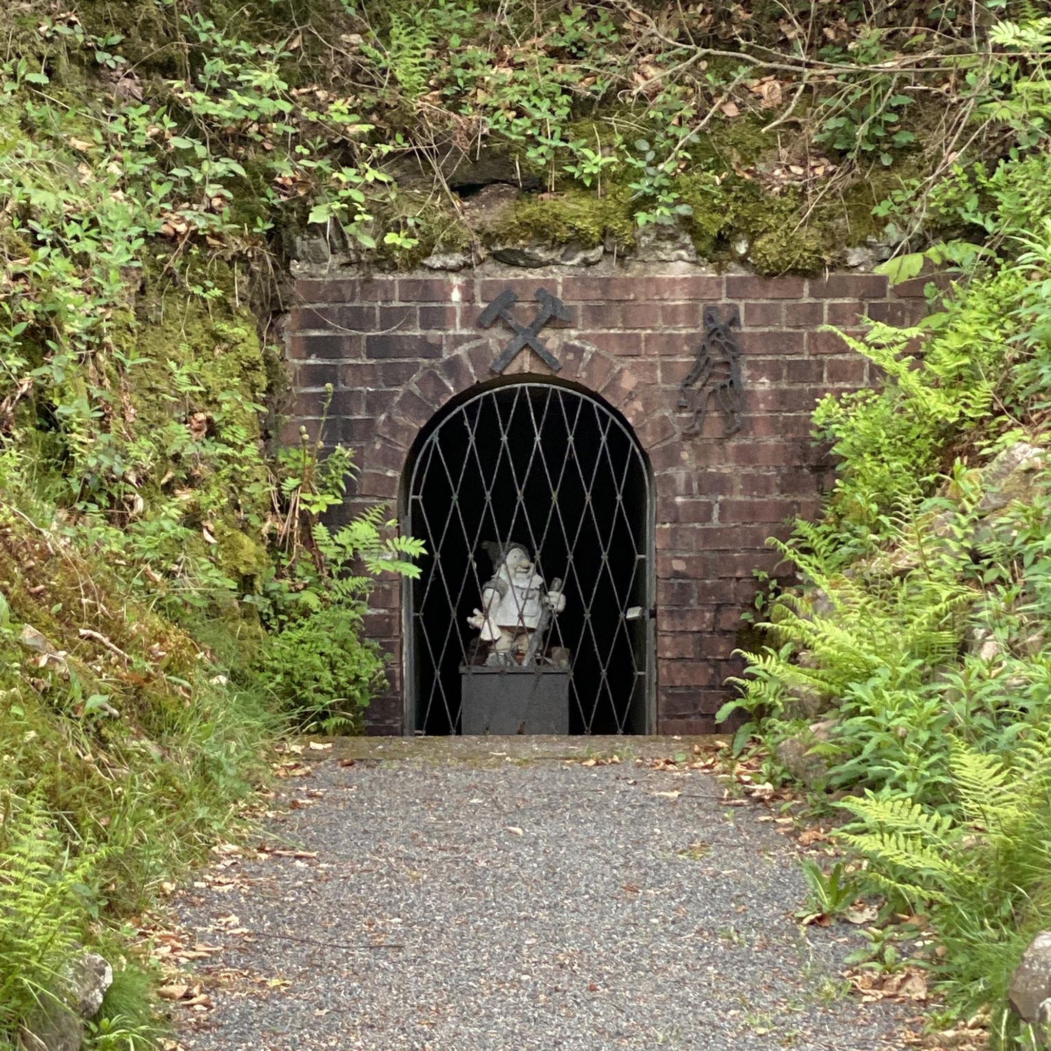
Gravel biking around Breil/Brigels
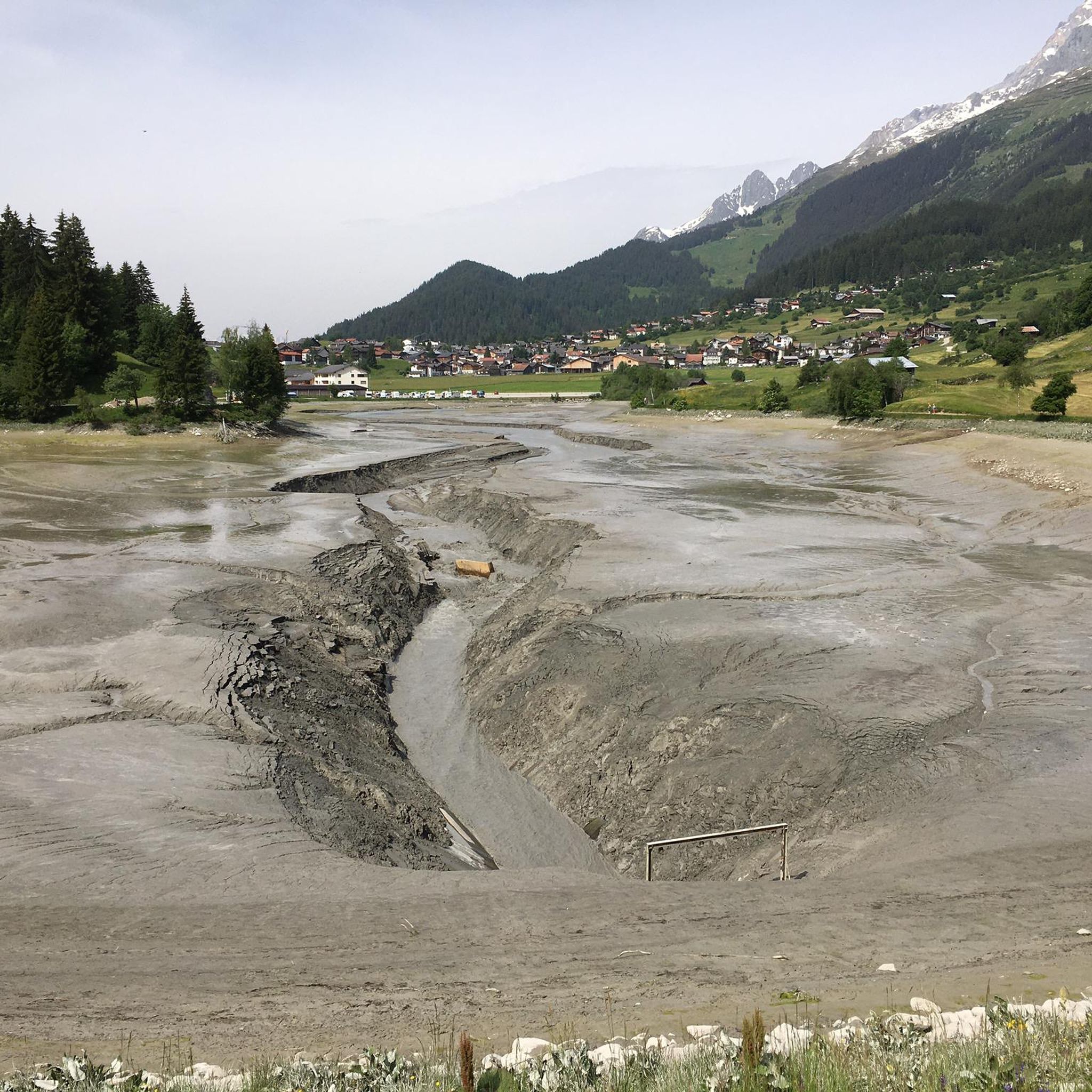
Road Cycling Routes around Breil/Brigels
Other adventures around Breil/Brigels


Tips from the Community

Here you can discover culinary and cultural delights. Wonderful terrace, beautiful rooms, lots of peace and quiet, and a friendly hostess!! 😍
0
0

The Flem is an approximately 16-kilometer-long mountain stream in the Surselva region. It originates in the Crap Grond area at an altitude of around 2,540 m above sea level and flows through the Val Frisal and the municipality of Breil/Brigels. On its way, the Flem also feeds the Lag da Breil, the Brigelsersee, before continuing downstream and finally flowing into the Schmuér stream. The stream, with its watercourses and gorges, shapes the landscape around Brigels. The Flem is particularly impressive in the upper valley area around Val Frisal, where an original alpine landscape with valuable moorland and floodplain areas is located.
0
0
In the middle of Brigels, next to the Pradas Resort, lies the naturally landscaped swimming lake. The small lake is a maximum of 1.60 m deep and is pre-warmed to a pleasant 20–22 °C by solar panels. The entrance is free. Around the lake, there is a sunbathing lawn, a barbecue area with seating, as well as showers, changing rooms, and toilets. For families, there is also a paddling pool and various play and leisure facilities. A nice way to cool off on warm days after a hike – although the swimming lake, due to its location near the resort, already appears quite touristy and family-oriented.
0
0
In the middle of Brigels, by the Pradas Resort, lies the naturally landscaped swimming lake. The small lake is a maximum of 1.60 m deep and is pre-warmed to a pleasant 20–22 °C by solar collectors. Admission is free. Around the lake, there is a sunbathing lawn, a barbecue area with seating, as well as showers, changing rooms, and toilets. For families, there is also a paddling pool and various play and leisure facilities. A nice way to cool off on warm days after a hike – although the swimming lake, due to its location near the resort, already seems quite touristy and family-oriented.
0
0
The Lag da Breil, in German Brigelsersee, lies at around 1,255 m above sea level, directly above Brigels. The lake, approximately 500 meters long and up to 140 meters wide, was created as a reservoir in 1946 and is used for energy production. The lake is fed and drained by the Flem. Despite its function as a reservoir, the Lag da Breil appears very idyllic and blends beautifully into the landscape around Brigels. A pleasant walking path leads all the way around the lake. Important: Swimming is not permitted in the reservoir.
0
0
Kropfenstein Castle ruins are one of the most extraordinary castles in Surselva. It was built on a prominent rock ledge and seems to literally cling to the steep rock face. Access is via a rather narrow hiking trail that requires sure-footedness. Once at the ruins, the impressive remains of the walls and the spectacular view of the Rhine Gorge and the surrounding mountain landscape reward the short detour.
0
0

The lake was very cool but beautiful. There's a kiosk where you can buy refreshments.
0
0

The actual goal of this hike is this high valley. When we were here, this valley was still grazed by cows.
0
0
Frequently Asked Questions
How many hiking trails are available in Breil/Brigels?
Breil/Brigels offers a wide selection of hiking opportunities, with over 60 trails recorded on komoot. These range from leisurely strolls to challenging alpine expeditions, catering to various fitness levels.
What are the different difficulty levels for hiking in Breil/Brigels?
The trails in Breil/Brigels cater to all levels. You'll find approximately 20 easy routes perfect for beginners or relaxed walks, around 28 moderate trails for those seeking a bit more challenge, and 12 difficult routes for experienced hikers looking for demanding alpine terrain.
What do other hikers say about the trails in Breil/Brigels?
The hiking trails in Breil/Brigels are highly regarded by the komoot community, boasting an average rating of 4.7 stars from over 300 reviews. Hikers often praise the stunning Alpine scenery, the variety of landscapes, and the well-maintained paths.
Are there any circular hiking routes in Breil/Brigels?
Yes, Breil/Brigels features several excellent circular hikes. A popular moderate option is the Lake Pradas – Lake Brigels loop from Breil/Brigels, offering scenic views around two beautiful mountain lakes. Another option is the View of Breil/Brigels – Lake Brigels loop from Breil/Brigels.
Can I find hikes with waterfalls in the Breil/Brigels area?
Absolutely! The region around Breil/Brigels is home to several impressive waterfalls. You can explore highlights like the Berglistüber Waterfall, Schreyenbachfall, and Aua dil Mer Waterfall. The Lag da Pigniu reservoir also features impressive waterfalls at its end.
What natural landmarks can I explore while hiking in Breil/Brigels?
Breil/Brigels is rich in natural landmarks. Hikers can encounter towering peaks like Kistenstöckli, serene lakes such as Lake Pradas, Lake Brigels, and the turquoise Lag da Pigniu, and unique wetlands like Flachmoor Plaun da Plaids. The idyllic Hochtal Val Frisal also offers a distinct high-alpine experience.
Are there family-friendly hiking options in Breil/Brigels?
Yes, Breil/Brigels offers many trails suitable for families. Easy and moderate routes, particularly those around Lake Pradas and Lake Brigels, are great choices. The circular hike around Lag da Pigniu is also an easy and enjoyable option for all ages.
Are dogs allowed on hiking trails in Breil/Brigels?
Generally, dogs are welcome on hiking trails in Breil/Brigels. It's always recommended to keep them on a leash, especially in areas with livestock or wildlife, and to carry water for them. Please respect local signage and regulations.
What kind of panoramic views can I expect on hikes around Breil/Brigels?
Hikes in Breil/Brigels consistently offer impressive panoramic views. You'll be treated to breathtaking vistas of the Surselva valley, surrounding peaks like Péz Tumpiv and Brigelserhörner, and the dramatic Alpine landscape of Graubünden. Routes like the one from Brigels to Waltensburg provide beautiful valley panoramas.
Are there options for winter hiking in Breil/Brigels?
Yes, Breil/Brigels transforms into a tranquil winter hiking paradise. Many prepared winter hiking trails offer stunning mountain panoramas away from the ski slopes. Popular winter routes include the Brigels round from Waltensburg and the Tschuppina round.
How long do hikes typically take in Breil/Brigels?
Hike durations vary significantly based on the trail's length and difficulty. For instance, the moderate Lake Pradas – Lake Brigels loop takes about 2 hours 50 minutes, while a more challenging route like Hochtal Val Frisal can take around 4 hours 20 minutes. Demanding alpine tours, such as the Biferten SAC Hut – Rubi Sura loop, can require nearly 9 hours.
Is public transport accessible for reaching trailheads in Breil/Brigels?
Breil/Brigels is well-integrated into the Swiss public transport network, making many trailheads accessible by bus or train. This allows hikers to plan point-to-point routes without needing to return to their starting point by foot.
What is the best time of year to go hiking in Breil/Brigels?
The best time for hiking in Breil/Brigels is typically from late spring to early autumn (May to October) when trails are clear of snow and the weather is most favorable. However, the region also offers dedicated winter hiking trails for a unique experience during the colder months.
Most popular routes around Breil/Brigels
Most popular attractions around Breil/Brigels

Get inspired with the komoot mobile app


Explore more
Browse the best Hikes in other regions.
