The best walks and hikes around Villaconejos
4.1
(50)
443
hikers
58
hikes
Hiking around Villaconejos offers opportunities to explore the local landscapes of the Community of Madrid. The region features a mix of river valleys, agricultural land, and rolling hills. Trails often traverse areas with natural features like oak groves and historical water sources, providing varied terrain for outdoor activities.
Best hiking trails around Villaconejos
- The most popular hiking route is Barranco de Picote – circular from Titulcia via the Jarama river, a 3.1 miles (5.0 km) trail that takes 1…
Last updated: October 12, 2026
4.7
(7)
36
hikers
5.01km
01:21
60m
60m
Easy hike. Great for any fitness level. Easily-accessible paths. Suitable for all skill levels.
3
hikers
21.5km
05:49
300m
290m
Hard hike. Very good fitness required. Easily-accessible paths. Suitable for all skill levels.

4.0
(1)
21
hikers
15.7km
04:37
300m
300m
Moderate hike. Good fitness required. Mostly accessible paths. Sure-footedness required.
4.0
(2)
10
hikers
9.93km
02:45
180m
180m
Moderate hike. Good fitness required. Easily-accessible paths. Suitable for all skill levels.
4.0
(2)
14
hikers
13.1km
03:26
100m
100m
Moderate hike. Good fitness required. Easily-accessible paths. Suitable for all skill levels.
Get access to more routes and recommendations from other explorers.
Already have an account?
Our route recommendations are based on thousands of hikes, rides, and runs completed by other people on komoot.
Start today with a free account
Your next adventure awaits.

Tips from the Community

The Zacatín Bridge is a monumental 18th-century limestone structure that supports the Plaza Mayor of Colmenar de Oreja, built to span a ravine and connect the town center with the old washhouses and their fountain.
4
0
Historic town of Madrid famous for its monumental arcaded Plaza Mayor, its limestone quarries (used in the Royal Palace) and its centuries-old wineries with D.O. Vinos de Madrid
4
0
The Zacatín Bridge is a monumental 18th-century limestone structure that supports the Plaza Mayor of Colmenar de Oreja, built to span a ravine and connect the town center with the old washhouses and their fountain.
8
1

Clay pigeon shooting area, a competition held during the patron saint festivities of Chinchón
0
0


Several pleasant breakfast bars, a good option for bikers or cyclists, and the old iron bridge over the Jarama is beautiful...
0
0

Aljezar comes from the Arabic word "al jez", which means gypsum hill, gypsum quarry or territory where gypsum mineral is abundant. In botany, the complex and select ecosystem concentrated in the gypsum hills or gypsum cliffs that appear associated with the slopes and moors of the Miocene near the river plains is known as gypsum scrub or aljezar. The slopes of the Jarama are lands with little evolved soils, little capacity to retain water and steep slopes exposed to erosion. The landscapes of the Regional Park of the Southeast are characterized by showing a rich and varied geological diversity in short distances, converting the environment of the protected area into a suggestive selection of dynamic and changing natural scenarios.
0
0
Frequently Asked Questions
How many hiking trails are available around Villaconejos?
There are over 45 hiking routes documented around Villaconejos, offering a variety of options for different preferences and skill levels.
What are the general difficulty levels of hikes in Villaconejos?
The hiking trails around Villaconejos cater to various abilities. You'll find a good selection of easy routes, with 24 trails suitable for beginners or those looking for a relaxed walk. There are also 21 moderate trails for a bit more challenge, and 2 difficult routes for experienced hikers seeking a strenuous adventure.
What do other hikers say about the trails in Villaconejos?
The trails in Villaconejos are highly regarded by the komoot community, holding an average rating of 4.0 stars from over 40 reviews. Hikers often appreciate the diverse landscapes, including river valleys, oak groves, and agricultural areas, which provide a varied outdoor experience.
Are there any family-friendly hiking options in Villaconejos?
Yes, Villaconejos offers several easy routes suitable for families. For instance, the Barranco de Picote – circular from Titulcia via the Jarama river is an easy 3.1-mile trail that follows the Jarama river, perfect for a leisurely family outing.
Are dogs allowed on the hiking trails around Villaconejos?
Generally, dogs are welcome on most hiking trails in the natural areas around Villaconejos. However, it's always recommended to keep them on a leash, especially in agricultural zones or near wildlife, and to clean up after them to preserve the natural environment for everyone.
Are there circular hiking routes available in Villaconejos?
Yes, many trails in the region are designed as circular routes, allowing you to start and end in the same location. An example is the Barranco de Picote – circular from Titulcia via the Jarama river, which is a popular easy option.
Can I find any lakes or water features on hikes around Villaconejos?
Yes, the region features several interesting water bodies. You can explore highlights like Laguna Seca de las Esteras or Laguna de San Juan. The Chinchón, Laguna de San Juan, and Sima de Peñaquemada Loop specifically takes you past Laguna de San Juan.
Are there historical sites or castles accessible from hiking trails?
Yes, the area around Villaconejos is rich in history. You can find impressive historical sites such as the Royal Palace of Aranjuez and Chinchón Castle. While not directly on every trail, these are significant nearby attractions worth exploring.
What kind of natural features can I expect to see on hikes in Villaconejos?
Hiking in Villaconejos offers a diverse natural experience. You'll encounter river valleys, agricultural lands, and rolling hills. Many trails pass through natural features like oak groves, such as the Valdezarza Oak Grove – Chinchón loop from Chinchón, and historical water sources, providing varied terrain and scenic views.
Are there any viewpoints along the hiking routes in Villaconejos?
Yes, several trails offer scenic viewpoints. For example, the Titulcia Main Square – Views of the Jarama loop from Titulcia provides excellent vistas of the Jarama river valley. You can also find the Birdwatching Hide at San Juan Lagoons, which offers a unique perspective of the local wildlife and landscape.
What is the best time of year to go hiking in Villaconejos?
The best times for hiking in Villaconejos are typically spring and autumn. During these seasons, the weather is milder, and the natural landscapes are at their most vibrant, with blooming wildflowers in spring and rich colors in autumn. Summers can be very hot, making early mornings or late afternoons preferable, while winters are generally mild but can be chilly.
Are there any longer, more challenging hikes in the area?
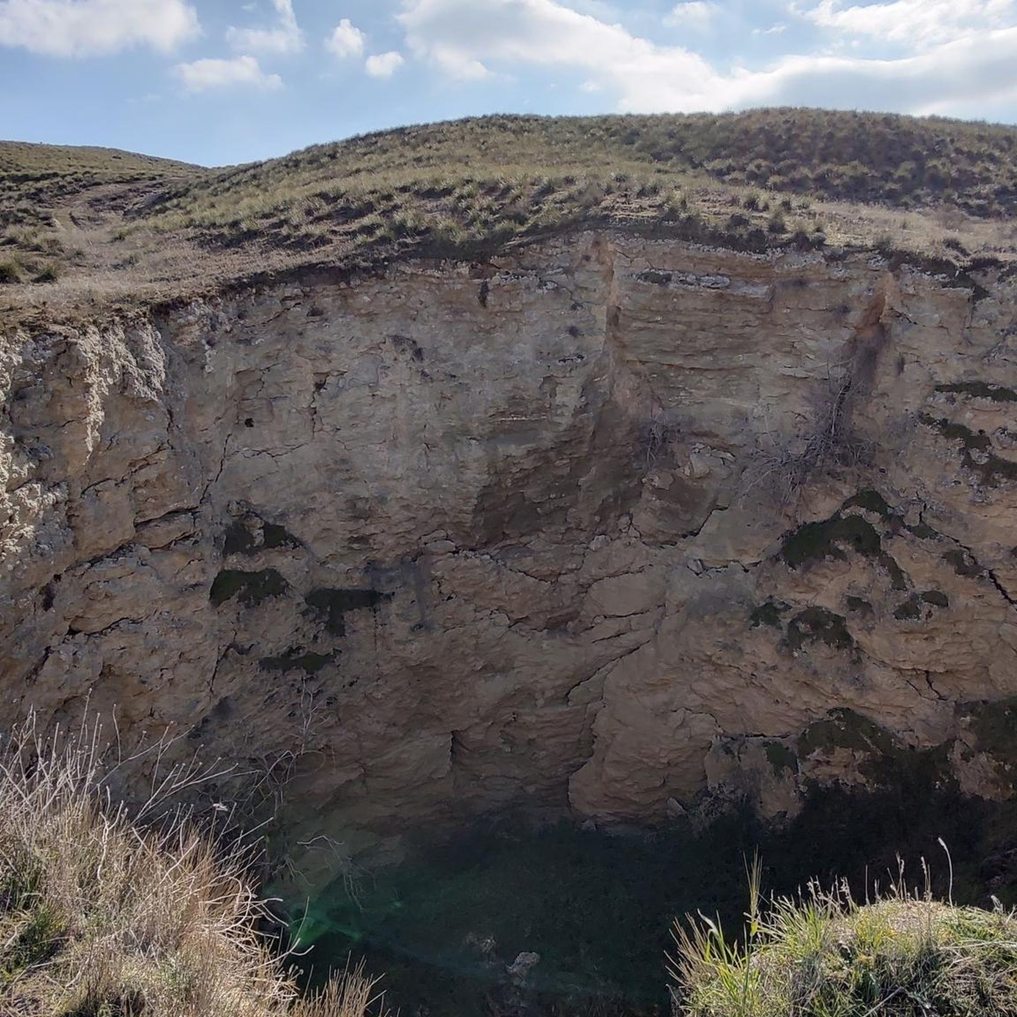
For those seeking a more challenging experience, the Chinchón, Laguna de San Juan, and Sima de Peñaquemada Loop is a difficult 13.3-mile trail that takes about 5 hours 49 minutes to complete, traversing varied terrain including a lagoon and a sinkhole.
Most popular attractions around Villaconejos

Get inspired with the komoot mobile app


Explore more
Browse the best Hikes in other regions.
