Attractions and Places To See around Villarroya De Los Pinares - Top 17
Best attractions and places to see around Villarroya De Los Pinares include a variety of natural and historical sites within a mountainous landscape. The region features pine forests, river sources, and elevated viewpoints. Villarroya De Los Pinares offers more than 17 distinct places to explore, ranging from mountain passes to historic villages.
Best attractions and places to see around Villarroya De Los Pinares
- The most popular attractions is Source of the Pitarque River, a river that marks the source…
Last updated: July 16, 2026
Peñarroya Summit and Observation Tower
Highlight • Summit
Translated by Google •
Tip by

Source of the Pitarque River
Highlight • River
Translated by Google •
Tip by

Sign up now to discover places like this
Get recommendations on the best single tracks, peaks, & plenty of other exciting outdoor places.
Sign up for free
La Chaparrilla Refuge
Highlight • Mountain Hut
Translated by Google •
Tip by

Fortanete Village
Highlight • Settlement
Translated by Google •
Tip by

Puerto de Valdelinares
Highlight • Mountain Pass
Translated by Google •
Tip by

Sign up for free to discover even more attractions around Villarroya De Los Pinares.
Sign up for free
Already have an account?
Start today with a free account
Your next adventure awaits.
Login or Signup
Popular around Villarroya De Los Pinares


Tips from the Community

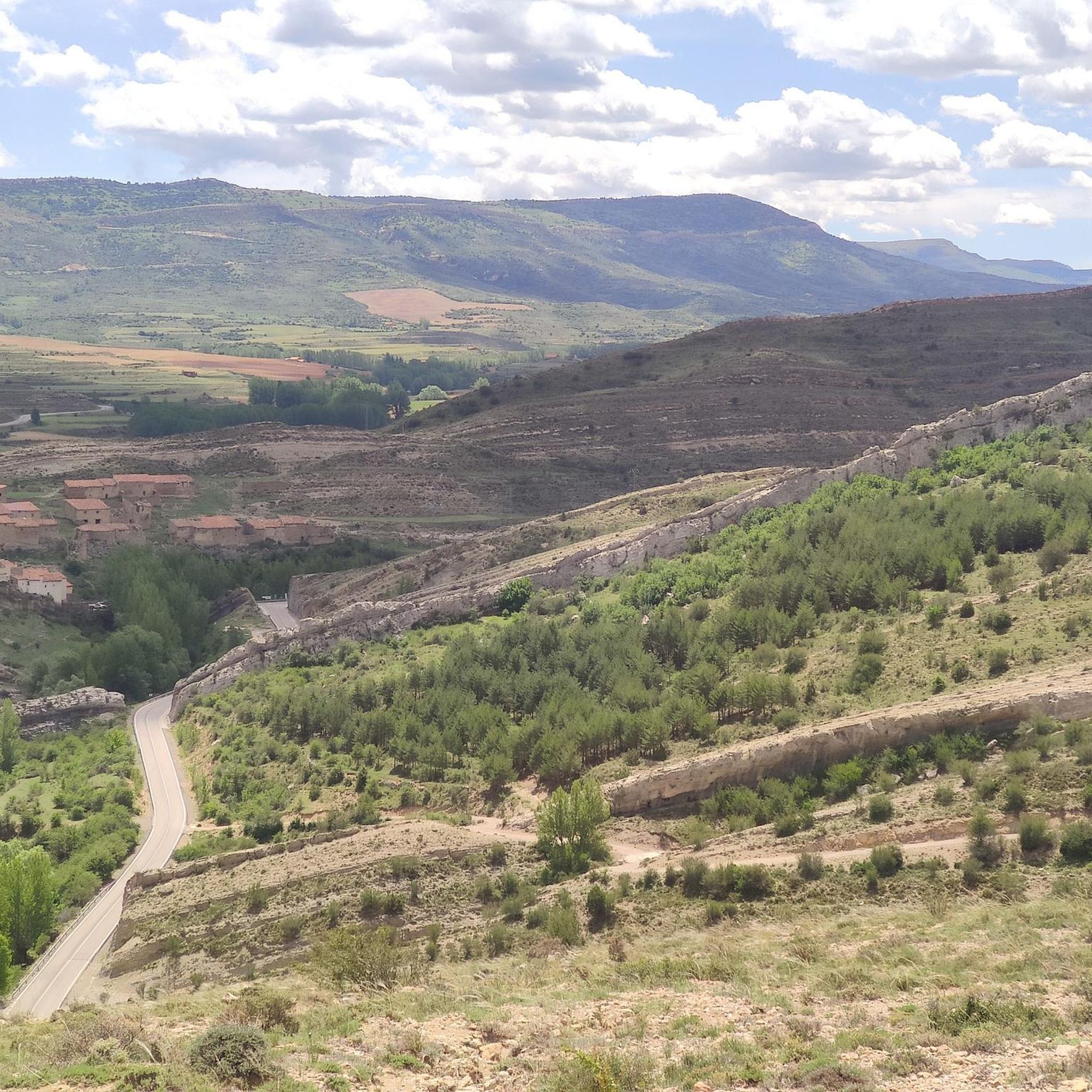
We also find numerous interesting buildings scattered throughout the rest of the municipality. For example, the castle of El Cid (11th-12th century), the fortified farm of La Torre. Also several hermitages such as those of Loreto (1648), Santa Bárbara (1715), San Cristóbal (around 1500) and Buen Suceso, in short, definitely worth a visit.
1
0
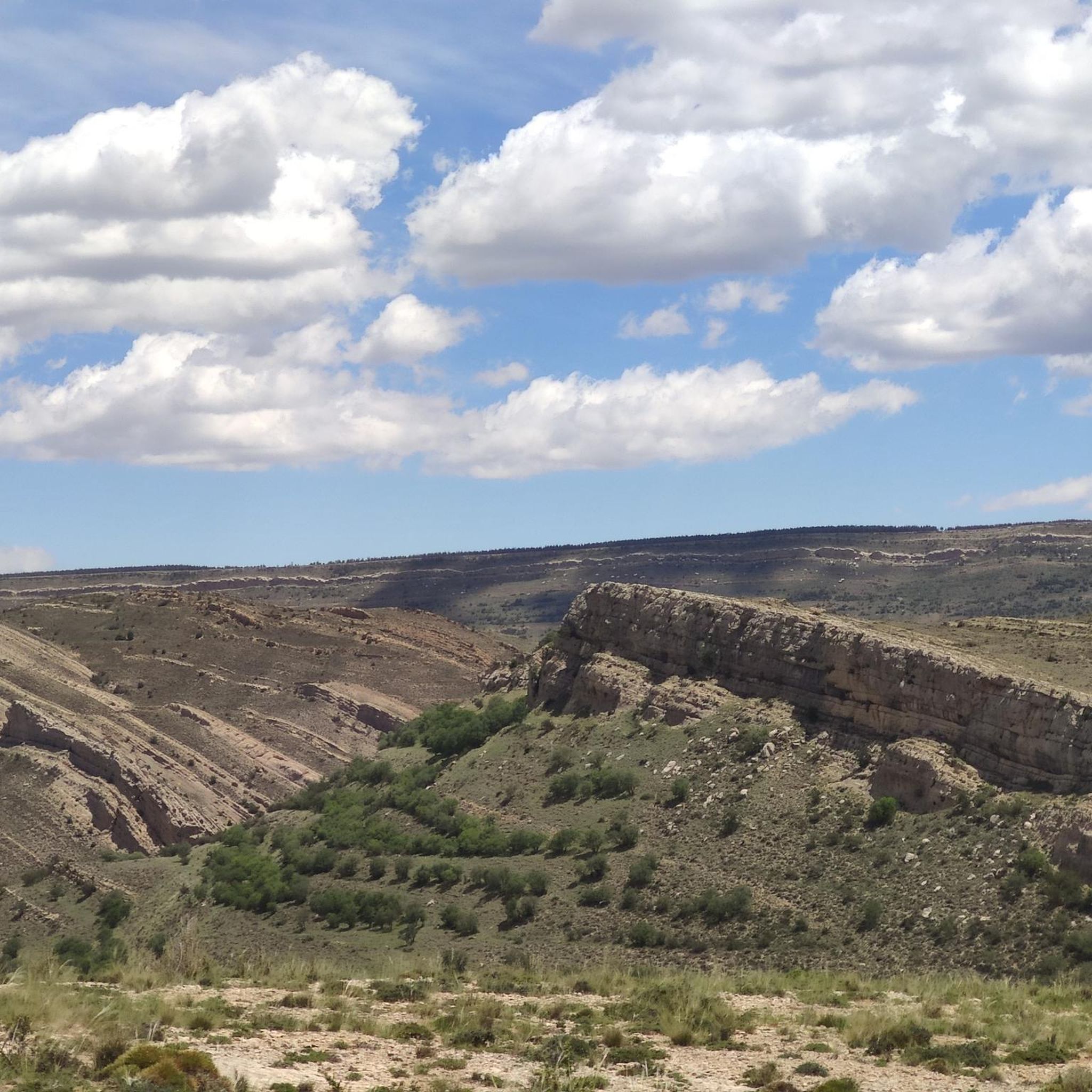
Fortanete offers incredible views and is surrounded by two rugged mountain ranges: the Sierra de la Cañada and the Tarrascón-Las Las Lastras mountain ranges. The natural environment is mainly dominated by high, cool pastures and especially by the extensive and well-preserved winter pine forests.
1
0

The geodesic vertex called Peñarroya points 2028.228 m with respect to the base of the observation pillar, but it sits on two bodies of stone masonry. Altitude of the bodies of the order of 10 or 11 meters in total. LIDAR data confirm a ground level elevation of 2017 m. Peñarroya is a chromotoponym that refers to the color of the rocks that make up the mountain. The spelling in the Spanish language is Peñarroya and in the Aragonese language Penyarroya or Peñarroya depending on the spelling chosen for the palatal nasal. The origin of the toponym is quite clear. It combines the common noun peña, from the Latin PĭNNAM, 'battlement', with the adjective RŭBEŭS, -A, -UM 'blond'. The toponym reflects the reddish hue of the terrain. The spelling Penya (in addition to others such as Penna or Peña) is included in many medieval texts in Aragon. For example, in 1448 to designate the summit of the mountain range (of Peña) that rises above Sos del Rey Católico on the border, then, with the kingdom of Navarra.
1
0

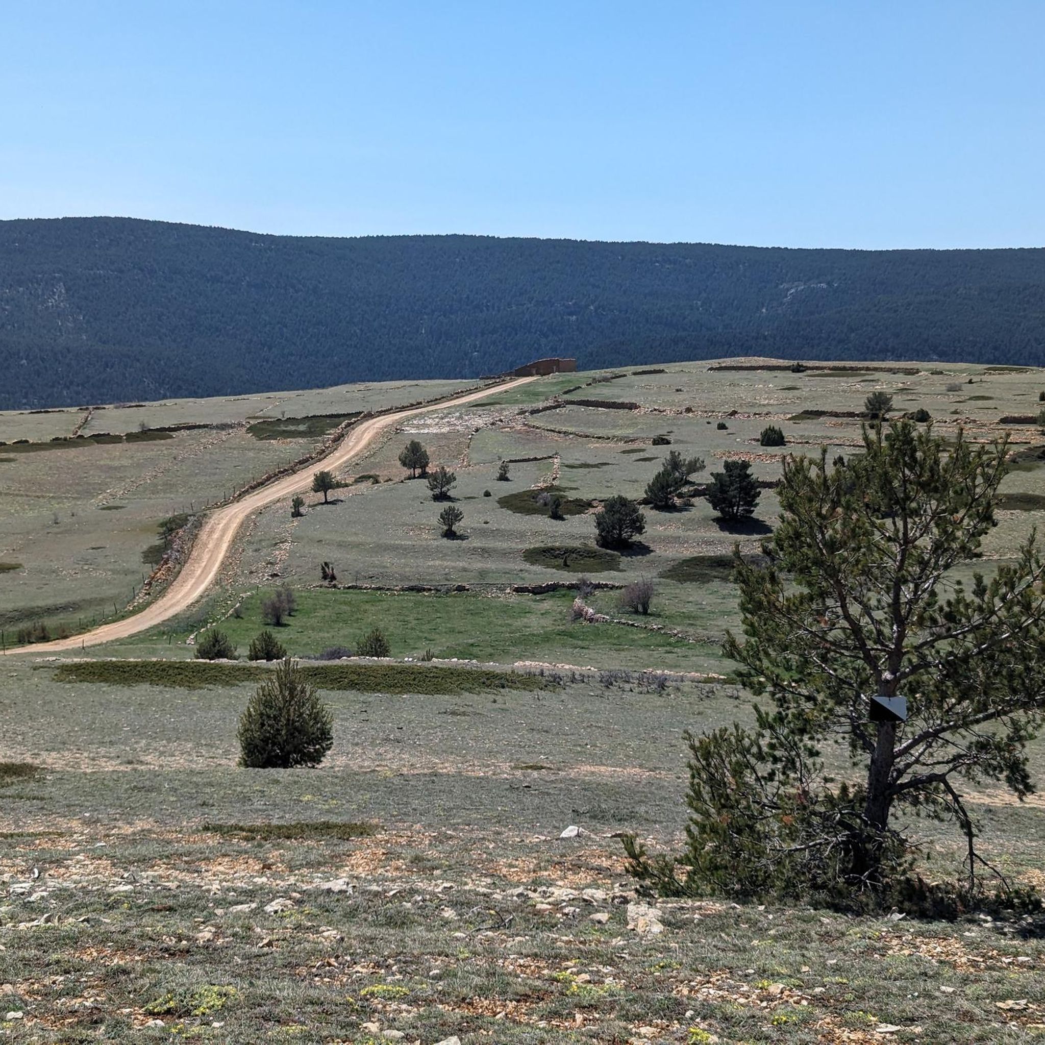
It is located southwest of Collado de la Gitana, accessible via a dirt track and surrounded by forests. If you are interested in exploring the area, you can consider the LA CHAPARRILLA REFUGIO – FUEN ROYA – LAS LAVADERAS WATERFALL Route. This hiking route will take you through impressive landscapes in the Hoya del Colmillo region, Aragon. Enjoy nature and tranquility in this beautiful corner of Spain! 🏞️
8
0

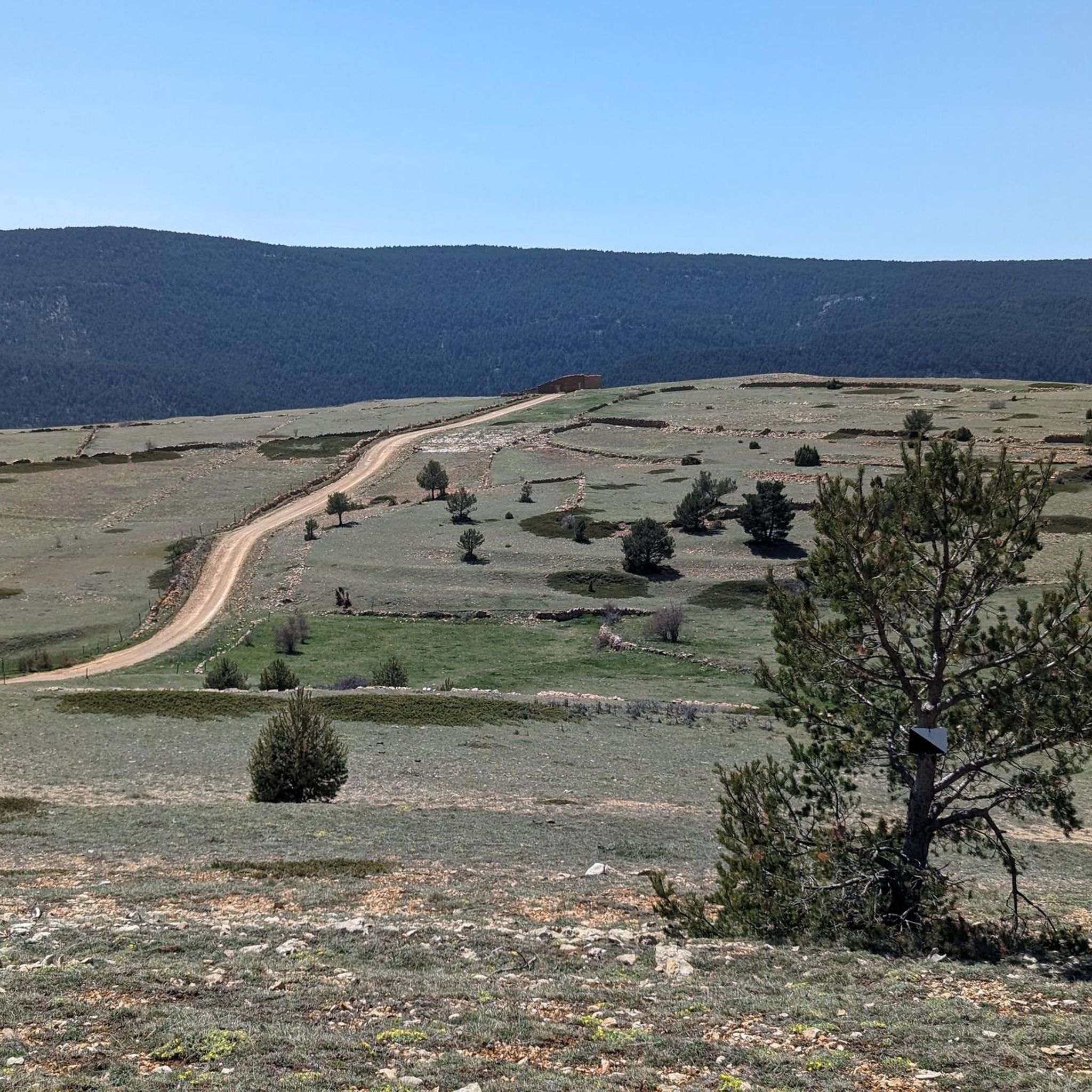
Located in the Sierra de Gúdar and very close to the Valdelinares ski resort, we find this mountain refuge at an altitude of more than 1800 meters next to the path (GR 8) and the passing area of the popular bikepacking route Montañas Vacías . We will find a fireplace for the colder winter months.
2
0
Fortanete, located at 1353 meters above sea level, is an Aragonese town and municipality, a beautiful town nestled in the Teruel Maestrazgo. Without a doubt, it is worth visiting (the tourist office is located in the Town Hall) the town, the Roman bridge, the bakery and the wood oven. The origin of the town of Fortanete, as it is known today, dates back to the Middle Ages
1
0

A few kilometers from the Valdelinares ski resort is this panoramic point with very beautiful views of the entire valley and the interior of Teruel. The built turret allows you to climb above the 2028 masl of the top and to be able to have 360 degree panoramic views without obstacles ahead.
1
0
In the Sierra de Gúdar and very close to the Valdelinares ski station is this mountain refuge at more than 1800 meters above sea level. Located next to the GR 8 long-distance trail and the Montañas Vacías bikepacking route, its location is very strategic and it has a fireplace for the cold months and is in acceptable condition.
4
1
Frequently Asked Questions
What natural features can I explore around Villarroya De Los Pinares?
The region offers diverse natural beauty. You can visit the Source of the Pitarque River, known for its picturesque canyon and as 'los Ojos del Pitarque'. For panoramic views, head to Peñarroya Summit and Observation Tower, offering 360-degree vistas from over 2028 meters above sea level.
Are there any historical sites or villages to visit?
Yes, Fortanete Village is a notable historical site. This Aragonese town, nestled in the Teruel Maestrazgo, dates back to the Middle Ages and features a Roman bridge, traditional bakery, and several hermitages, including the castle of El Cid.
What kind of outdoor activities can I do near these attractions?
Villarroya De Los Pinares is excellent for outdoor enthusiasts. You can find numerous options for hiking, running, and road cycling. Explore various hiking trails, including the 'Nacimiento del Río Pitarque Trail' or 'Pico Peñarroya via Maestrazgo Trail (GR 8)'. For runners, there are several running routes, and road cyclists can enjoy scenic road cycling routes through the mountainous landscape.
Are there family-friendly attractions or activities?
Absolutely. The Source of the Pitarque River is considered family-friendly, offering an accessible trail through a beautiful canyon. Additionally, Fortanete Village provides a family-friendly historical experience with its charming streets and medieval heritage.
Where can I find the best panoramic views in the area?
For breathtaking panoramic views, visit the Peñarroya Summit and Observation Tower. From its 2028-meter altitude, you can enjoy unobstructed 360-degree vistas of the surrounding valleys. Another excellent viewpoint is Puerto de Valdelinares, a mountain pass at 1828 meters offering views of the Sollavientos valley.
Are there any mountain refuges or huts available for hikers?
Yes, the La Chaparrilla Refuge is located southwest of Collado de la Gitana, accessible via a dirt track and surrounded by forests. It's strategically positioned near the GR 8 long-distance trail and the Montañas Vacías bikepacking route, offering a fireplace for colder months.
What is the highest point I can reach in the Villarroya De Los Pinares area?
The highest point you can reach with an observation tower is the Peñarroya Summit and Observation Tower, which stands at over 2028 meters above sea level, providing extensive views.
Can I find trails suitable for easy hikes?
Yes, there are easy hiking options available. For example, the 'Pico Peñarroya via Maestrazgo Trail (GR 8)' is an easy route that can lead you towards the summit area. You can find more details on various difficulty levels in the hiking guide for the region.
What do visitors enjoy most about the attractions in Villarroya De Los Pinares?
Visitors particularly appreciate the stunning natural landscapes and the sense of tranquility. The 360-degree panoramic views from Peñarroya Summit and the picturesque canyon at the Source of the Pitarque River are frequently highlighted. The historical charm of Fortanete Village also receives positive feedback.
Are there any specific cycling routes that pass through the area?
Yes, the region is popular for cycling. The La Chaparrilla Refuge is located along the popular Montañas Vacías bikepacking route. Additionally, Puerto de Valdelinares is a well-known mountain pass for road cyclists, offering challenging climbs and rewarding views. You can explore more options in the road cycling guide.
What is the significance of the Pitarque River in the region?
The Pitarque River is significant for its natural beauty and its source, known as 'los Ojos del Pitarque'. This area is a natural monument where the river emerges from a picturesque canyon, making it a popular spot for visitors seeking a tranquil natural experience.
Most popular routes around Villarroya De Los Pinares
Most popular attractions around Villarroya De Los Pinares

Get inspired with the komoot mobile app


Explore more
Still not found the Highlight you’re looking for? See guides of the top attractions in other regions:
