The best walks and hikes around Villarroya De Los Pinares
4.9
(49)
393
hikers
8
hikes
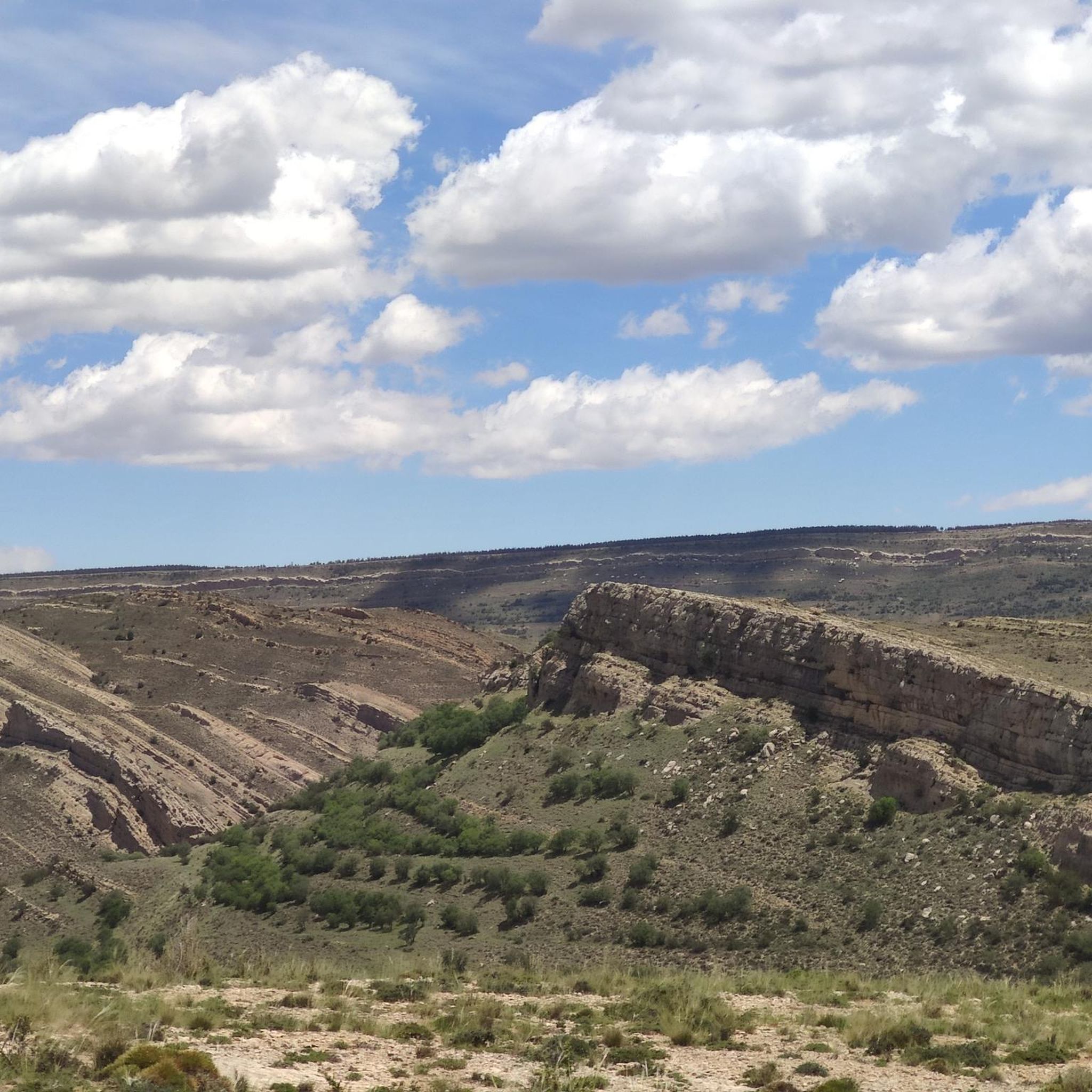
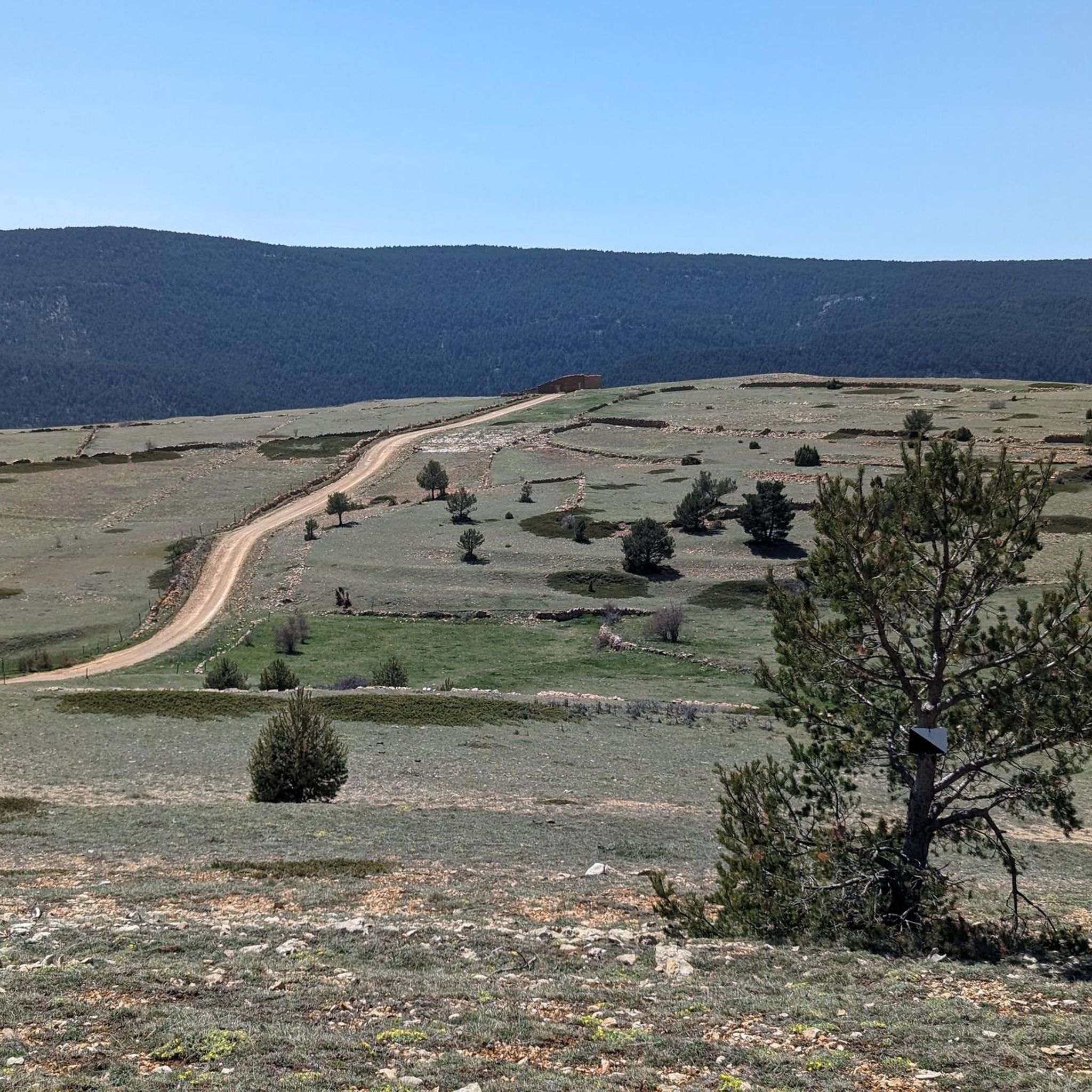
Hiking around Villarroya De Los Pinares offers diverse terrain within the Maestrazgo region of Teruel, Spain. Situated at an elevation of 1,337 meters in the Gúdar mountain range, the area features extensive pine forests and pasture lands. The Guadalope river, along with other waterways, contributes to the region's mountainous landscape and geological formations.
Best hiking trails around Villarroya De Los Pinares
- The most popular hiking route is Nacimiento del Río Pitarque Trail, a 5.6 miles (8.9 km) moderate trail…
Last updated: July 11, 2026
4.9
(34)
285
hikers
8.95km
02:31
190m
190m
Hike the moderate 5.6-mile Nacimiento del Río Pitarque Trail to witness the spectacular rebirth of the Pitarque River from the rock face.
4.62km
01:41
300m
300m
An easy 2.9-mile (4.6 km) hike on the Pico Peñarroya via Maestrazgo Trail (GR 8) to the Peñarroya Summit Viewpoint.

Sign up for free
4.9
(10)
51
hikers
7.23km
02:01
140m
140m
Moderate hike. Good fitness required. Easily-accessible paths. Suitable for all skill levels.
24
hikers
6.44km
01:51
160m
160m
Easy hike. Great for any fitness level. Easily-accessible paths. Suitable for all skill levels.
5.0
(1)
7
hikers
Hard hike. Very good fitness required. Sure-footedness, sturdy shoes and alpine experience required.
Get access to more routes and recommendations from other explorers.
Sign up for free
Already have an account?
Our route recommendations are based on thousands of hikes, rides, and runs completed by other people on komoot.
Start today with a free account
Your next adventure awaits.
Login or Signup


Tips from the Community

Viewpoint at the geodetic point. Stone turret with iron ladder that allows you to climb over the tree line to enjoy the views.
0
0

To access the other side, continue a little beyond the chimney, we did not see the pass and we crossed the river, the water was freezing!!!!
0
0

The Mirador de Peñarroya is a panoramic viewpoint located in the Matarraña region, in the province of Teruel. The trail is part of the PR-TE 157 circular route, suitable for families. If you are in the area, you can also explore other viewpoints such as El Peñón, which offers impressive panoramic views of Peñarroya and the Alto Valle del Guadiato. Happy hiking! 🚶♀️🌄🌞
8
0
It is located southwest of Collado de la Gitana, accessible via a dirt track and surrounded by forests. If you are interested in exploring the area, you can consider the LA CHAPARRILLA REFUGIO – FUEN ROYA – LAS LAVADERAS WATERFALL Route. This hiking route will take you through impressive landscapes in the Hoya del Colmillo region, Aragon. Enjoy nature and tranquility in this beautiful corner of Spain! 🏞️
8
0

Located in the Sierra de Gúdar and very close to the Valdelinares ski resort, we find this mountain refuge at an altitude of more than 1800 meters next to the path (GR 8) and the passing area of the popular bikepacking route Montañas Vacías . We will find a fireplace for the colder winter months.
2
0
We are at the top of Peñarroya, so we can say that we have reached the highest altitude in the province of Teruel located at 2023 meters above sea level, which is located a few kilometers from the Valdelinares ski resort. From here we will have very nice views of the entire valley and the interior of Teruel. We will find a tower that will allow us to climb above 2028 meters and be able to have 360 degree panoramic views without obstacles ahead.
1
0

In the Sierra de Gúdar and very close to the Valdelinares ski station is this mountain refuge at more than 1800 meters above sea level. Located next to the GR 8 long-distance trail and the Montañas Vacías bikepacking route, its location is very strategic and it has a fireplace for the cold months and is in acceptable condition.
4
1
A few kilometers from the Valdelinares ski resort is this panoramic point with very beautiful views of the entire valley and the interior of Teruel. The built turret allows you to climb above 2028 meters above sea level from the top and be able to have 360-degree panoramic views without obstacles ahead.
4
1
Frequently Asked Questions
How many hiking trails are available around Villarroya De Los Pinares?
There are currently 4 hiking routes listed around Villarroya De Los Pinares, offering a range of experiences from moderate to difficult. These trails explore the diverse landscapes of the Maestrazgo region.
What kind of terrain can I expect on hikes around Villarroya De Los Pinares?
The terrain around Villarroya De Los Pinares is characterized by extensive pine forests and the mountainous landscape of the Gúdar range. You'll find routes traversing these forests, following the Guadalope river, and encountering varied geological formations, offering both rugged and picturesque scenery.
Are there hiking trails suitable for beginners or those looking for an easy walk?
While the listed routes are primarily moderate to difficult, the region generally offers paths for various fitness levels. For a less strenuous option, the Pico Peñarroya via Maestrazgo Trail (GR 8) is an easy 4.6 km path that provides views towards Pico Peñarroya. The Peñarroya Summit Viewpoint loop from Alto de la Gitana is another easy option.
Are there any challenging hikes for experienced trekkers?
Yes, for experienced trekkers seeking a challenge, the Source of the Pitarque River – Source of the Pitarque River loop from Pitarque is a difficult 16.4 km trail. It leads through river valleys and mountainous terrain, typically taking over 5 hours to complete.
What natural features can I discover while hiking in Villarroya De Los Pinares?
Hikers can explore extensive pine forests, follow the course of the Guadalope river, and encounter interesting geological formations. The Source of the Pitarque River is a notable natural highlight, and the region is known for its abrupt and mountainous river valleys.
Are there any notable landmarks or viewpoints along the trails?
Yes, you can find several points of interest. The Peñarroya Summit and Observation Tower offers panoramic views. The village of Villarroya de los Pinares itself is a Historic-Artistic Site with a 16th-century Gothic church and the Nuestra Señora de Loreto Chapel. Some trails, like the PR-TE 85, pass by features such as the Sima Majada de los Baños.
Are there any circular walks available in the area?
Yes, there are several circular routes. The Source of the Pitarque River – Source of the Pitarque River loop from Pitarque is a challenging circular option. For an easier loop, consider the Peñarroya Summit Viewpoint loop from Alto de la Gitana or the Alto del Hornillo loop from Valdelinares.
Is Villarroya De Los Pinares suitable for family-friendly hikes?
The region offers routes suitable for various ages and difficulty levels. While specific family-friendly routes are not detailed in the guide, the general description of trails ranging from easy walks suggests options for families. The route connecting Villarroya de los Pinares to Miravete de la Sierra, following the tranquil river with wooden bridges, is described as an easy hiking trail, which could be suitable for families.
Can I bring my dog on the hiking trails?
While specific regulations for dogs on trails are not detailed, many natural areas in Spain are dog-friendly, especially on leash. It's always recommended to keep your dog under control, clean up after them, and check for any local signage regarding pet restrictions, particularly in protected areas or near livestock.
What is the best time of year to go hiking in Villarroya De Los Pinares?
Villarroya de los Pinares, situated at 1,337 meters, experiences distinct seasons. Spring and autumn generally offer the most pleasant hiking conditions with mild temperatures and vibrant scenery. Summer can be warm, especially at lower elevations, while winter can bring snow and colder temperatures, making some trails more challenging or requiring specific gear.
What do other hikers enjoy the most about hiking in Villarroya De Los Pinares?
The area is highly rated by the komoot community, with an average score of 4.8 stars from more than 30 reviews. Hikers often praise the diverse terrain, the beauty of the pine forests, and the opportunities to explore the mountainous landscape and river valleys.
Most popular routes around Villarroya De Los Pinares
Most popular attractions around Villarroya De Los Pinares

Get inspired with the komoot mobile app


Explore more
Browse the best Hikes in other regions.
