The best MTB trails around Cabezabellosa
4.2
(14)
327
riders
30
rides
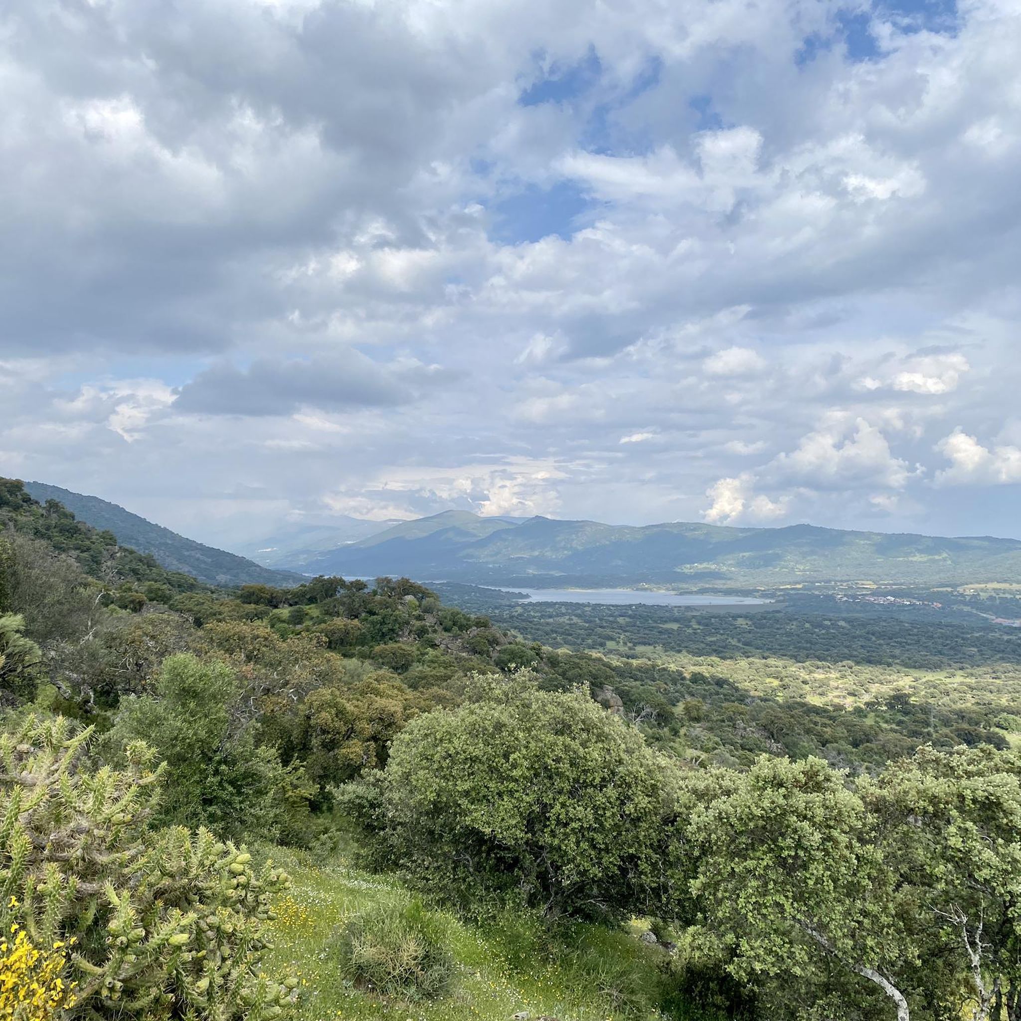
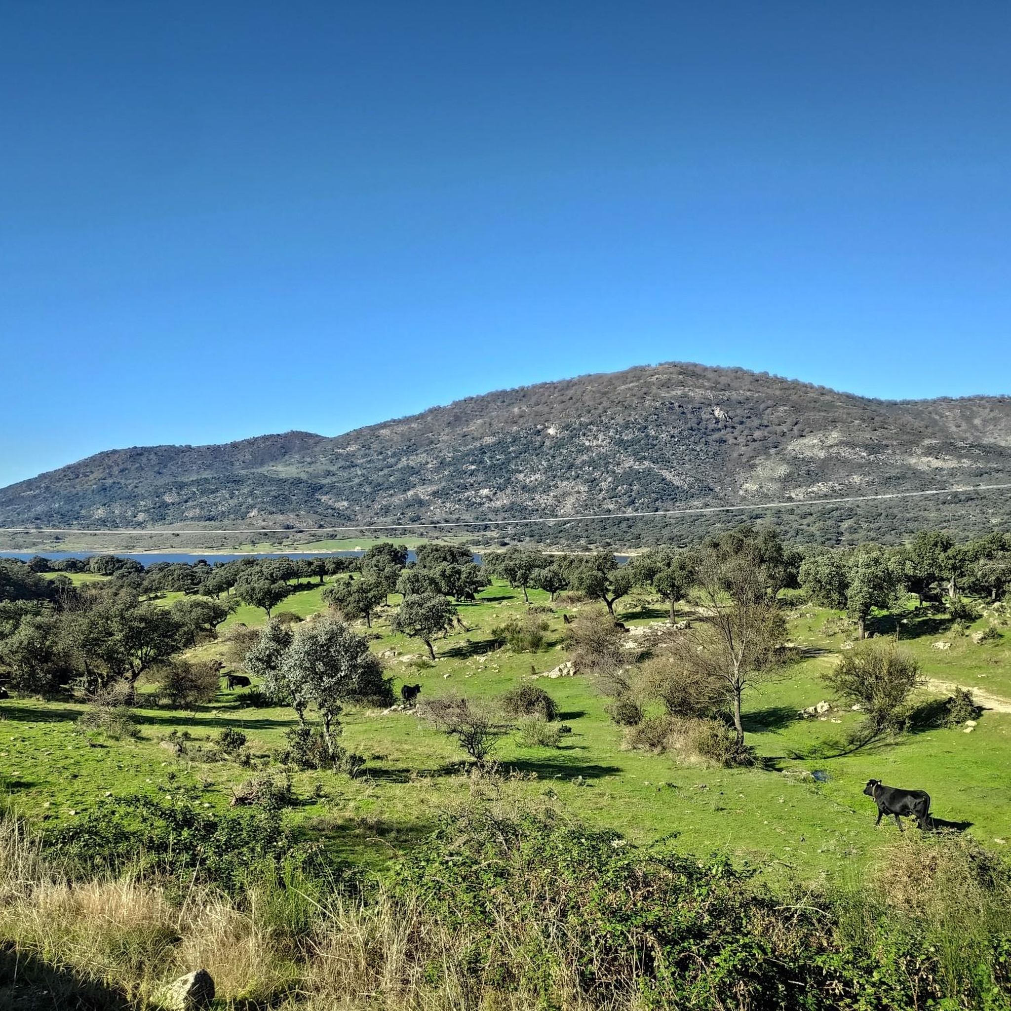
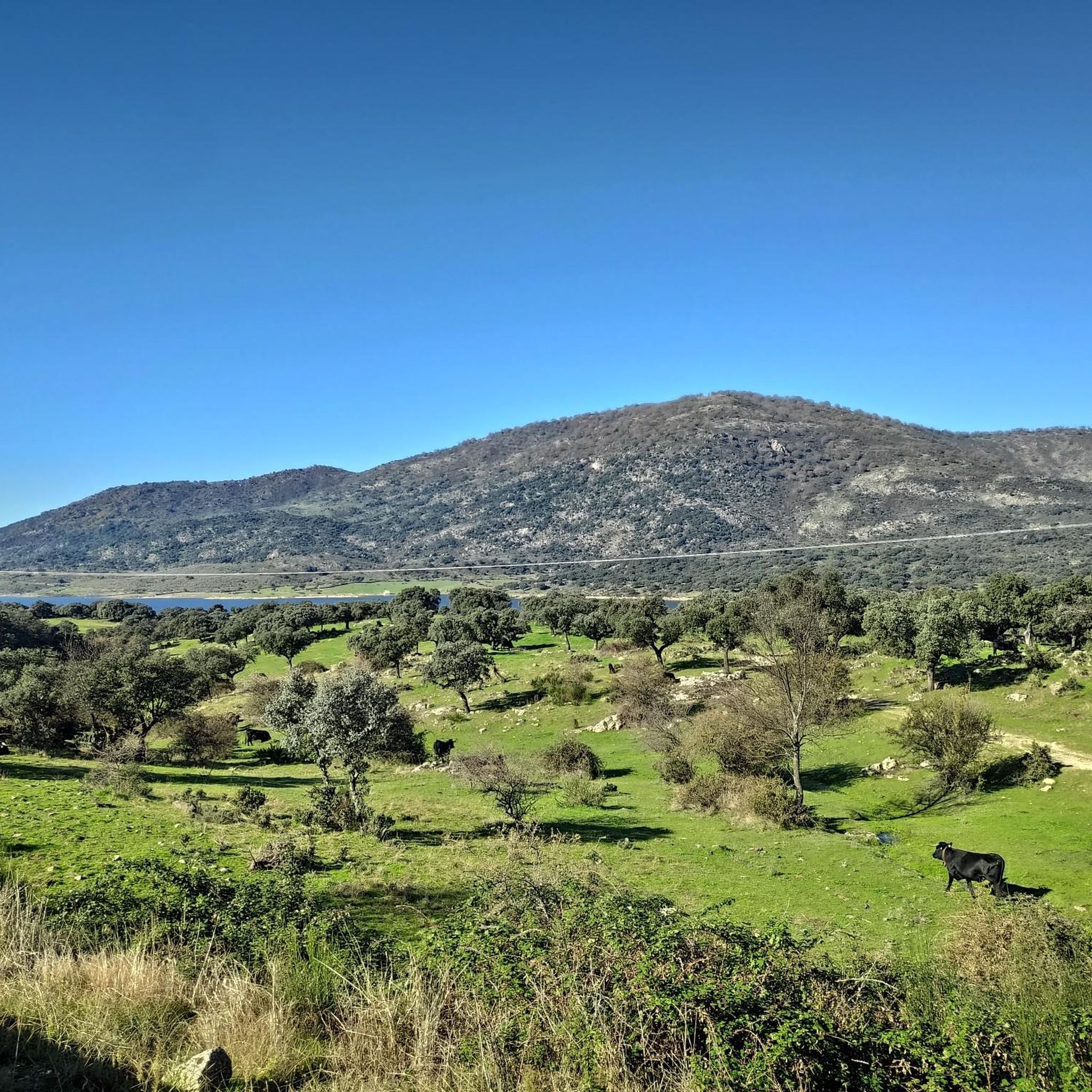
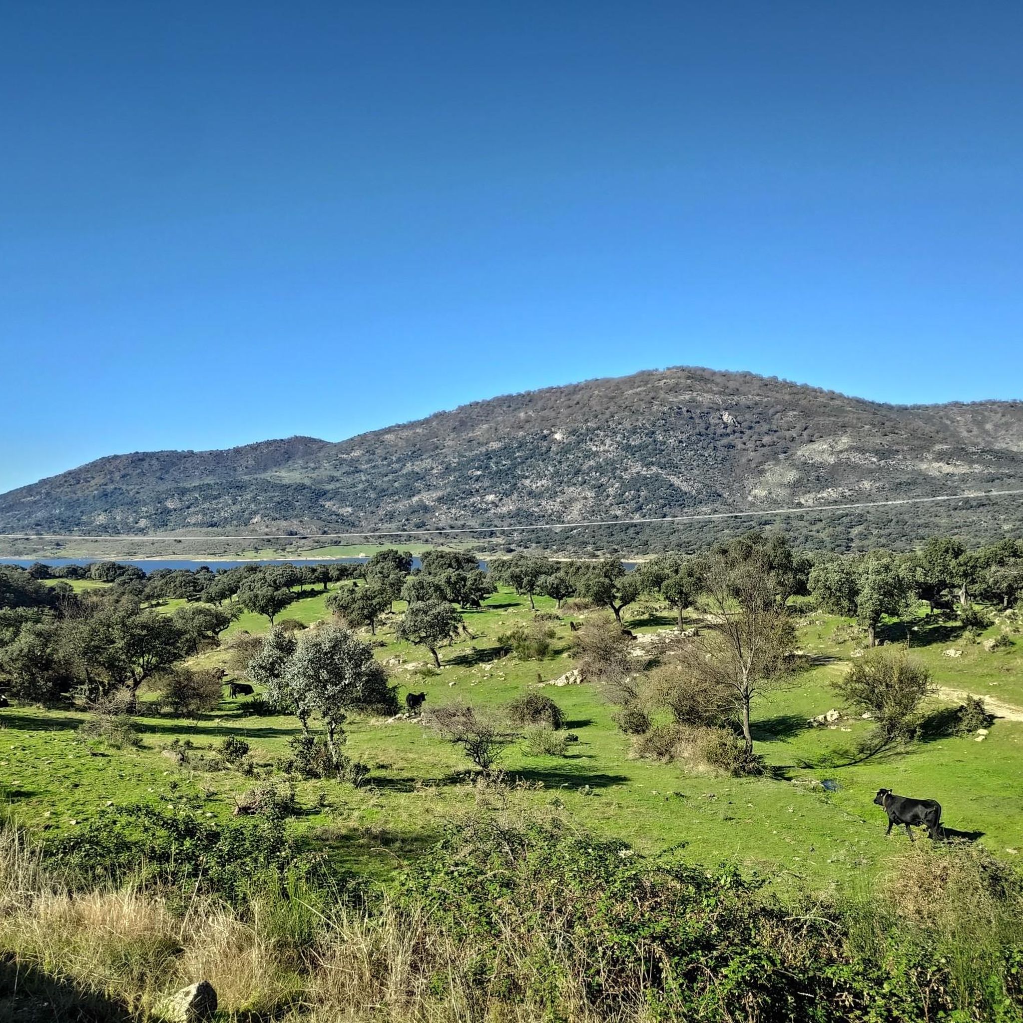
Mountain biking around Cabezabellosa offers varied terrain within the Tras la Sierra mountains, situated between the Jerte and Ambroz valleys. The landscape is characterized by mountainous areas, diverse forests of oaks, ash, and pine, and visible granite formations. At an altitude of 836 meters, Cabezabellosa provides access to routes with significant elevation changes, including trails leading towards Pico Pitolero at 1,352 meters. The region's ecosystems include meadows, gorges, and scrubland, providing a range of natural features for mountain bike exploration.
…Last updated: June 26, 2026
6
riders
27.0km
02:22
550m
550m
Hard mountain bike ride. Good fitness required. Advanced riding skills necessary. Some portions of the route may require you to push your bike.
3.0
(1)
2
riders
24.5km
02:31
760m
770m
Moderate mountain bike ride. Good fitness required. Suitable for all skill levels.

Sign up for free
3.0
(1)
1
riders
19.4km
01:22
200m
200m
Moderate mountain bike ride. Great for any fitness level. Advanced riding skills necessary.
5.0
(1)
44
riders
20.6km
02:01
600m
600m
Moderate mountain bike ride. Good fitness required. Advanced riding skills necessary.
5.0
(1)
27
riders
25.4km
02:15
580m
580m
Moderate mountain bike ride. Good fitness required. Suitable for all skill levels.
Get access to more routes and recommendations from other explorers.
Sign up for free
Already have an account?
Our route recommendations are based on thousands of hikes, rides, and runs completed by other people on komoot.
Start today with a free account
Your next adventure awaits.
Login or Signup
Tips from the Community

The Parque de la Isla in Plasencia is one of the main green lungs of the city and a perfect place to enjoy nature. Located in the urban section of the Jerte River, the park is a river island that stretches for almost 4 kilometers.
2
0

Roman road, loose stones, slippery, somewhat technical and very fun.
0
0

The San Lázaro Bridge is one of the historic bridges that cross the Jerte River in the Spanish city of Plasencia, in the province of Cáceres. It dates back to medieval times, although the current bridge was reconstructed in 1538. It connects the neighborhoods of San Lázaro and Río Jerte, and the San Lázaro Chapel is located next to its western end.
1
0
The Plasencia Aqueduct or the Arches of San Antón is not of Roman origin as many Placentines believe, but rather dates back to the 16th century and was built by the great architect Juan de Flandes. 55 arches are preserved from it and with it the Muslim clay pipe that carried water from the Cabezabellosa and El Torno mountains was replaced. in https://plasenciaturismo.es/acueducto
1
0

This medieval city has a lot to offer you. The Roman aqueduct, the medieval wall and the cathedral are some of its jewels that you can visit.
2
0

From this point before starting to climb towards the Barrio de Santa Teresa you can see a set of views of the city's cathedral!
0
0
Santa Bárbara is part of the southern side of the Sierra del Camocho and from where you can see good views of both Plasencia and the center of Malpartida de Plasencia to the south.
0
1
Old rural road that goes from Plasencia to the city of Villar and that crosses the northern slopes of the Sierra del Gordo, in a landscape of oaks and deep forests.
0
2
Frequently Asked Questions
How many mountain bike trails are available around Cabezabellosa?
There are over 20 mountain bike trails around Cabezabellosa, offering a variety of experiences for different skill levels. The komoot community has explored these routes over 300 times, contributing to an average rating of 4.3 stars.
What are the difficulty levels of mountain bike trails in Cabezabellosa?
The trails around Cabezabellosa cater to a range of abilities. You'll find options from easy paths suitable for beginners, to moderate routes, and more challenging trails for experienced riders. Specifically, there are 3 easy, 19 moderate, and 2 difficult routes listed in the area.
Are there any family-friendly mountain bike trails in Cabezabellosa?
While specific 'family-friendly' designations aren't always explicit, the region's diverse terrain includes easier paths that could be suitable for families. Look for routes described as 'easy' or those that stick to less technical terrain, often found in the meadows or along gentler forest paths.
What kind of landscapes can I expect to see while mountain biking in Cabezabellosa?
Mountain biking in Cabezabellosa offers stunning and varied landscapes. You'll traverse mountainous terrain, diverse forests of oaks, ash, and pine, and areas with visible granite formations. The region also features meadows, small gorges, and scrubland, providing breathtaking panoramic views of Las Hurdes, Gata, Granadilla, the Sierra de Francia, and even Portugal on clear days.
Can I find circular mountain bike routes in Cabezabellosa?
Yes, many of the trails around Cabezabellosa are designed as circular routes, allowing you to start and finish in the same location. For example, the Camino Viejo del Puerto-Pantano Plasencia – circular desde Plasencia is a popular difficult route that forms a loop.
What are some notable natural landmarks I can visit while mountain biking?
The region is rich in natural landmarks. You could ride towards the majestic Roble del Acarreadero, an oak over 500 years old. Another significant landmark is Pico Pitolero, offering expansive vistas. The area also features diverse ecosystems with oaks, ash trees, and chestnuts, irrigated by small gorges.
Are there any waterfalls or lakes accessible by mountain bike near Cabezabellosa?
Yes, you can find beautiful water features. The Caozo Waterfall is a notable natural monument nearby. Additionally, you might encounter the Embalse de Plasencia or the Plasencia Reservoir, which offer scenic views along some routes.
What is the best time of year for mountain biking in Cabezabellosa?
Cabezabellosa benefits from a mild climate. Summers are cooler due to its mountainous location, and winters are temperate as it's sheltered from northern winds. This makes spring and autumn particularly pleasant for mountain biking, with comfortable temperatures and vibrant natural scenery. Even in winter, many trails remain accessible.
What do other mountain bikers enjoy most about the trails in Cabezabellosa?
The area is highly rated by the komoot community, with an average score of 4.3 stars from over 10 reviews. Reviewers often praise the varied terrain, the stunning panoramic views from high points like Pico Pitolero, and the diverse forests that make for engaging rides.
Are there any cultural or historical sites to see along the mountain bike routes?
Beyond natural beauty, you can explore traditional washing places and religious heritage sites. The 17th-century Church of San Lorenzo and the Hermitage of Nuestra Señora del Castillo are notable. Further afield, you might encounter the Plasencia Cathedral or the Plaza Mayor de Plasencia if your route takes you closer to the city.
Can I find routes that offer significant elevation changes for a challenging ride?
Absolutely. Cabezabellosa is nestled in the Tras la Sierra mountains, and its altitude of 836 meters provides access to routes with significant elevation changes. Trails leading towards Pico Pitolero, at 1,352 meters, offer substantial climbs and descents, perfect for those seeking a challenging workout.
Are there any specific routes that follow rivers or offer waterside views?
Yes, some routes in the area follow natural watercourses. For instance, the Plasencia Upstream River Trail is a moderate route that follows the river, offering scenic views and a mix of surfaces along the way.
Most popular attractions around Cabezabellosa

Get inspired with the komoot mobile app


Explore more
Browse the best MTB trails in other regions.
