The best cycling routes around Villanueva De Tapia
4.5
(5)
229
riders
56
rides
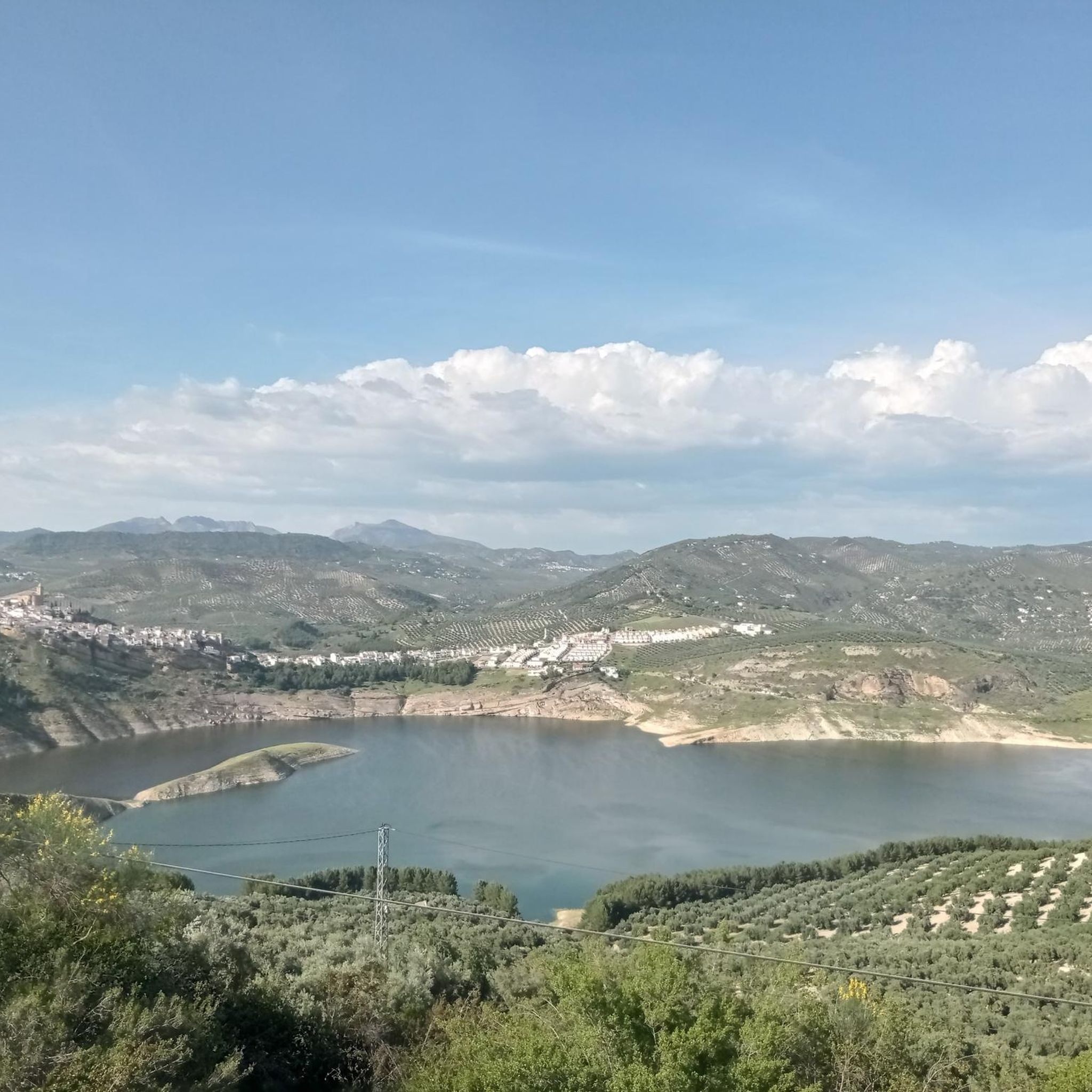
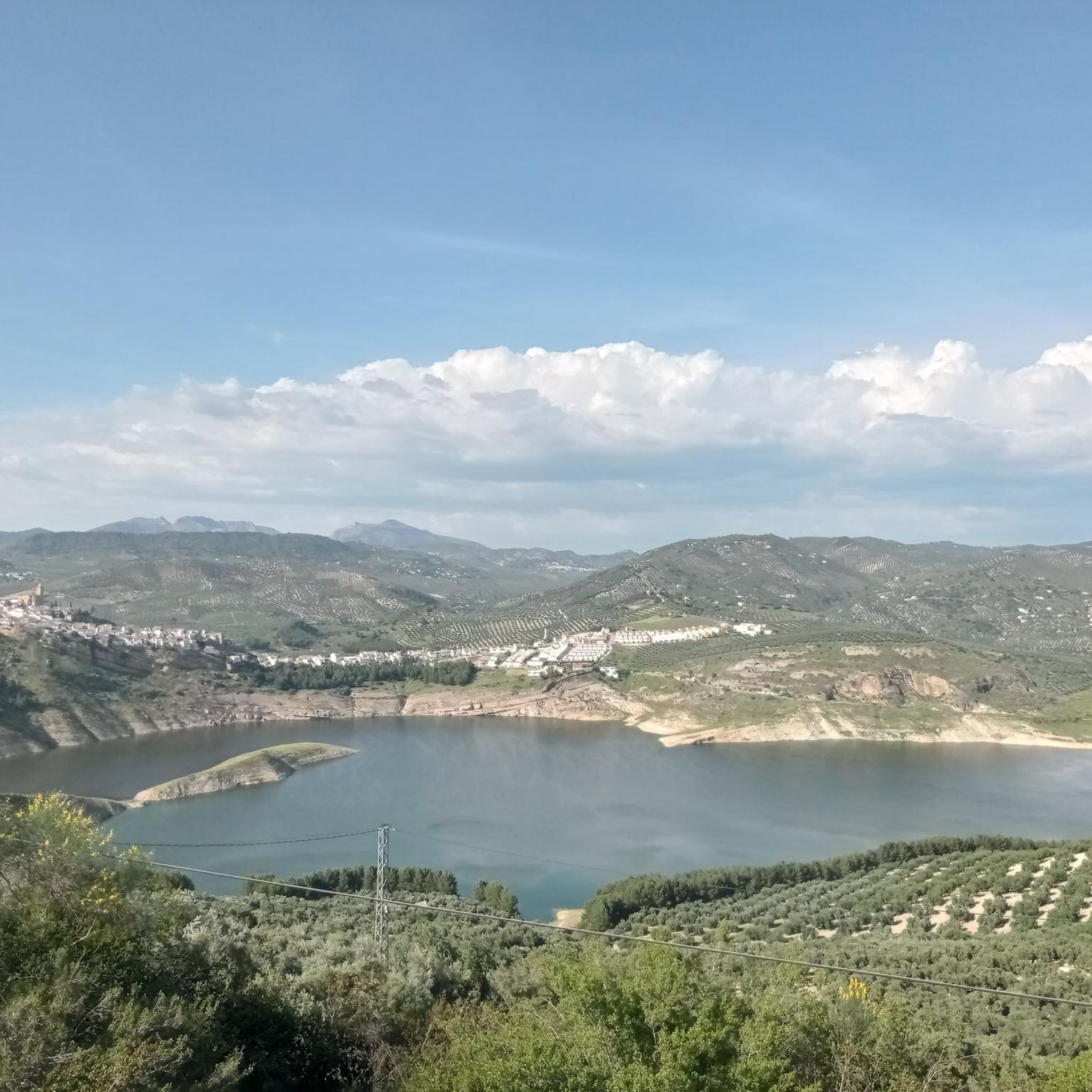
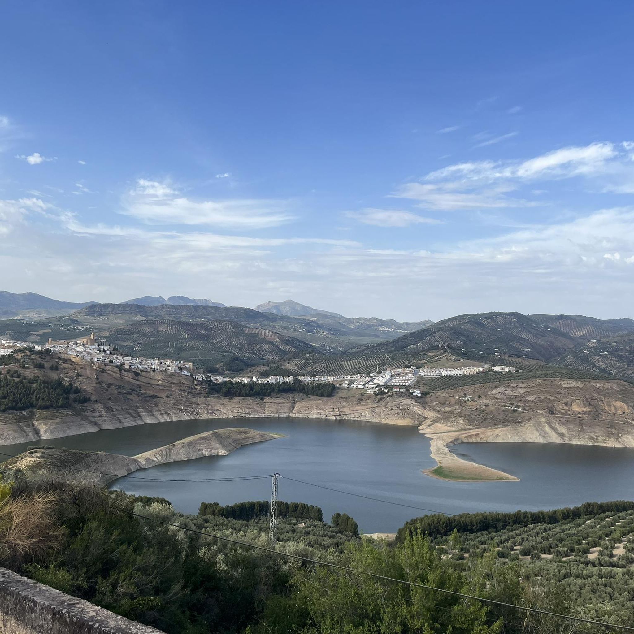
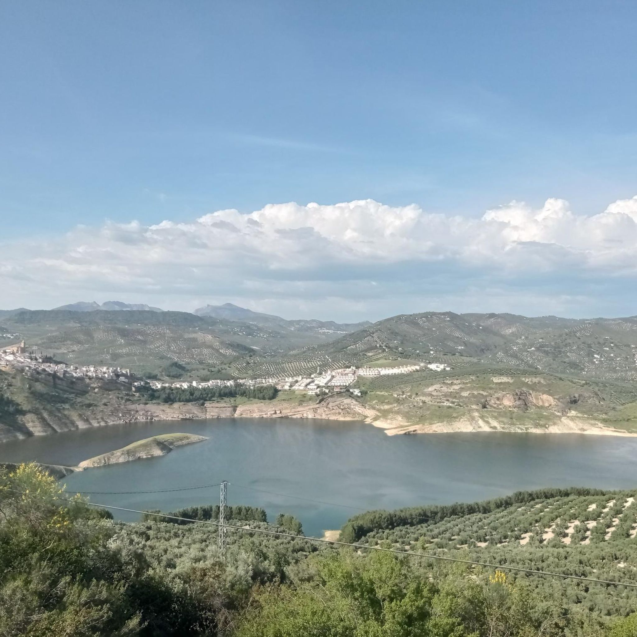
Touring cycling around Villanueva De Tapia offers routes through diverse landscapes in the northeastern part of Málaga province. The region features expansive olive groves and cereal fields, particularly to the north, alongside rolling hills such as Artillería and Gordo. Water features include the Cerezo and Aulaguilla streams, with the Cerezo Stream feeding into the significant Iznájar Reservoir. The Sierra del Pedroso rises to 1,205 meters in the southern municipality, providing varied terrain for cyclists.
Best touring cycling routes around Villanueva…
Last updated: July 4, 2026
5.0
(1)
6
riders
50.0km
04:11
800m
800m
Hard bike ride. Very good fitness required. Mostly paved surfaces. Suitable for all skill levels.
8
riders
Hard bike ride. Very good fitness required. Mostly paved surfaces. Suitable for all skill levels.

Sign up for free
6
riders
42.3km
03:27
520m
520m
Hard bike ride. Very good fitness required. Mostly paved surfaces. Suitable for all skill levels.
5
riders
Hard bike ride. Very good fitness required. Mostly paved surfaces. Suitable for all skill levels.
4
riders
Hard bike ride. Very good fitness required. Mostly paved surfaces. Suitable for all skill levels.
Get access to more routes and recommendations from other explorers.
Sign up for free
Already have an account?
Our route recommendations are based on thousands of hikes, rides, and runs completed by other people on komoot.
Start today with a free account
Your next adventure awaits.
Login or Signup

Tips from the Community

For mandatory
0
0

I was there mid november and the fountain was empty...
0
1

A colorful route with many beautiful areas. The 101 channels are truly breathtaking with so much water. The Rosario River is full of beauty with those spectacular waterfalls.
1
1

The Fuente de los Cien Caños is an impressive natural monument located in Villanueva del Trabuco, on the limestone slope of the Sierra de San Jorge. The fountain is known for being the source of the Guadalhorce River, the longest and most voluminous river in the province of Malaga.
5
0

Beautiful town. Surrounded by millions of olive trees.
4
0


A natural water spring is the origin of this fantastic fountain that has 100 taps through which the water comes out, hence its name. It is a very popular place in the area and is located in a picturesque landscape.
1
1
Beautiful and picturesque path that coincides with the marked route PR-A 339 that runs through the Fuente de los Cien Caños and allows you to circulate to the San Jorge Lagoon.
1
1
Frequently Asked Questions
How many touring cycling routes are available around Villanueva De Tapia?
There are over 50 touring cycling routes around Villanueva De Tapia, catering to various skill levels. You'll find options ranging from easy to difficult, with the majority being more challenging.
What kind of terrain can I expect on touring cycling routes in Villanueva De Tapia?
The terrain around Villanueva De Tapia is diverse. To the north, you'll cycle through extensive olive groves and cereal fields, offering picturesque and relatively gentle stretches. To the south, the landscape becomes hillier with the Sierra del Pedroso, featuring undulating hills and original vegetation like holm oaks. You'll also encounter natural water sources like the Cerezo and Aulaguilla streams.
What is the best time of year for touring cycling in Villanueva De Tapia?
The region is generally pleasant for cycling during spring (March to May) and autumn (September to November) when temperatures are milder. Summers can be very hot, and winters can be cooler and wetter, so checking the weather forecast is always recommended.
Are there touring cycling routes suitable for beginners or less experienced cyclists?
While most routes around Villanueva De Tapia are rated as moderate to difficult, there is at least one easy touring cycling route available. For a gentler experience, consider exploring the local paths through the olive groves, which offer a scenic and less strenuous ride.
Are there challenging touring cycling routes for experienced cyclists?
Yes, the area is well-suited for experienced cyclists looking for a challenge. Over 40 routes are classified as difficult, featuring significant elevation gains. An example is the Dolmens of Antequera – Historic Centre of Antequera loop from Archidona, which covers 80 km with nearly 1000 meters of elevation gain.
What natural features or landmarks can I see along the touring cycling routes?
You can discover several interesting natural features and landmarks. The region is known for its vast olive groves and the rolling hills of the Sierra del Pedroso. You might also encounter the unique "Trifinio," where the provinces of Málaga, Granada, and Córdoba meet. Water sources like the Cerezo and Aulaguilla streams are also part of the landscape. For specific points of interest, consider routes that pass near the El Cedrón Viewpoint or the Iznájar Reservoir.
Are there any historical or cultural points of interest to visit while cycling?
Yes, the area offers historical and cultural insights. You can visit the Plaza Ochavada of Archidona, a beautiful historical site. The town of Villanueva de Tapia itself boasts the Iglesia de San Pedro Apóstol and the Cementerio de San José, offering a glimpse into local heritage. The Iznájar Castle and the Parish Church of Saint James the Apostle are also notable attractions in the wider region.
What do other touring cyclists say about the routes in Villanueva De Tapia?
The touring cycling routes around Villanueva De Tapia are highly rated by the komoot community, with an average score of 4.5 stars from over 5 reviews. Cyclists often praise the diverse landscapes, from olive groves to rolling hills, and the challenging yet rewarding nature of many routes.
Are there any long-distance touring cycling routes available?
Yes, there are several long-distance routes. For example, the Viewpoint, Guadalhorce River – Upper Guadalhorce River Valley loop from Archidona is a difficult 85 km path. Another option is the Plaza Ochavada of Archidona – Plaza La Victoria loop from Archidona, which spans over 70 km.
Are there circular touring cycling routes in the area?
Many of the touring cycling routes around Villanueva De Tapia are designed as loops, allowing you to start and end in the same location. An example is the View of Peña de los Enamorados – Plaza Ochavada of Archidona loop from Archidona, a 53 km circular trail.
Can I find cafes or places to eat along the cycling routes?
While specific cafes directly on every route might be limited, Villanueva de Tapia and nearby villages offer local establishments where you can refuel. Planning your route to pass through these towns will ensure you have access to food and drink options.
Is there parking available for cyclists in Villanueva De Tapia?
Villanueva de Tapia, as a small village, typically offers street parking. For specific routes starting from nearby towns like Archidona, you'll find designated parking areas. It's advisable to check local parking regulations upon arrival.
Most popular routes around Villanueva De Tapia
Most popular attractions around Villanueva De Tapia

Get inspired with the komoot mobile app


Explore more
Browse the best Cycling routes in other regions.
