The best walks and hikes around Villanueva De Tapia
4.1
(57)
256
hikers
24
hikes
Hiking around Villanueva De Tapia offers diverse landscapes in northeastern Málaga province, bordering Granada and Córdoba. The region features extensive olive groves and cereal fields, particularly to the north, transitioning into old oak and pine forests and rocky areas at higher elevations. To the south, the Sierra del Pedroso rises to over 1,200 meters, providing more challenging trails. The area's topography includes gently undulating terrain and native vegetation like gall oaks and Holm oaks.
Best hiking trails around Villanueva De…
Last updated: July 4, 2026
3.9
(10)
38
hikers
6.33km
01:48
140m
150m
Easy hike. Great for any fitness level. Easily-accessible paths. Suitable for all skill levels.
4.0
(6)
31
hikers
6.81km
01:59
170m
170m
Easy hike. Great for any fitness level. Easily-accessible paths. Suitable for all skill levels.

Sign up for free
3.8
(5)
9
hikers
5.52km
01:35
130m
140m
Easy hike. Great for any fitness level. Easily-accessible paths. Suitable for all skill levels.
4.0
(4)
8
hikers
5.55km
01:46
230m
230m
Easy hike. Great for any fitness level. Easily-accessible paths. Suitable for all skill levels.
4.0
(1)
7
hikers
10.3km
03:04
330m
330m
Moderate hike. Good fitness required. Easily-accessible paths. Suitable for all skill levels.
Get access to more routes and recommendations from other explorers.
Sign up for free
Already have an account?
Our route recommendations are based on thousands of hikes, rides, and runs completed by other people on komoot.
Start today with a free account
Your next adventure awaits.
Login or Signup
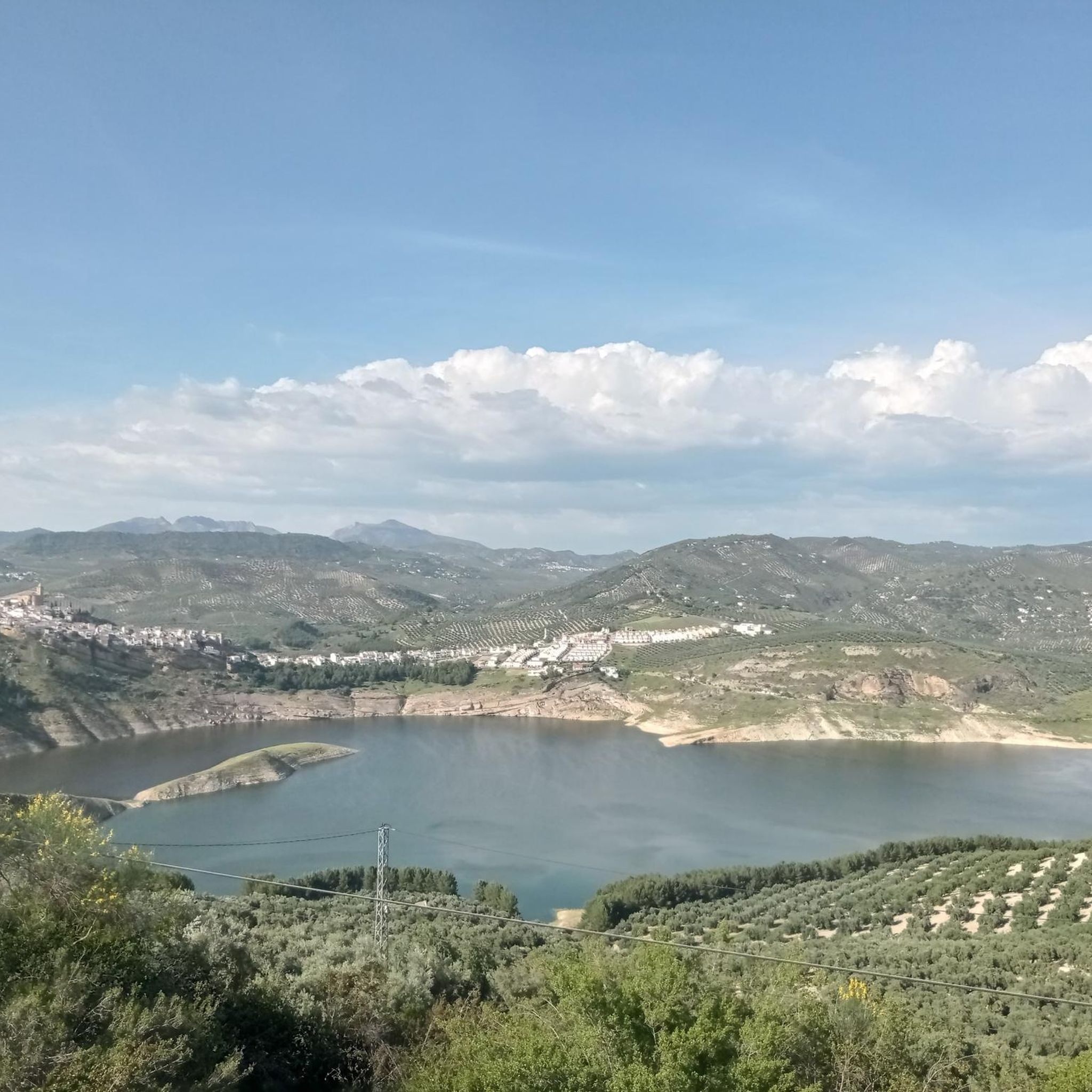
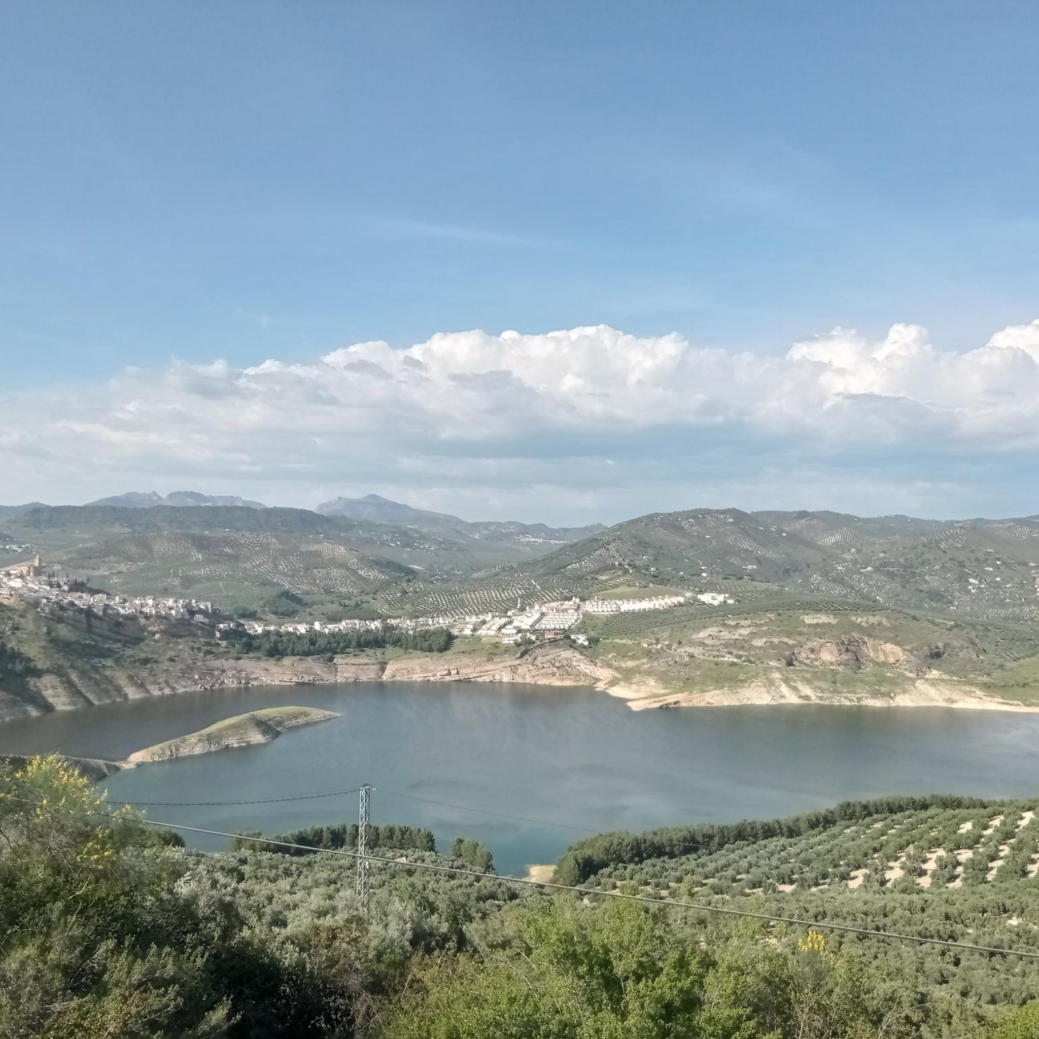
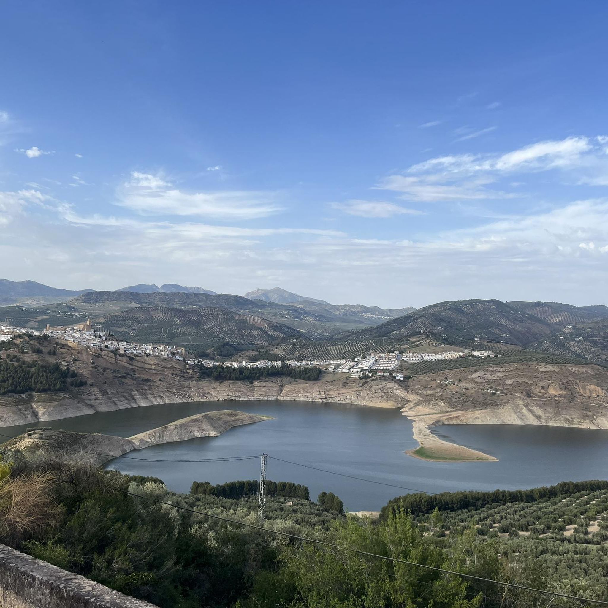
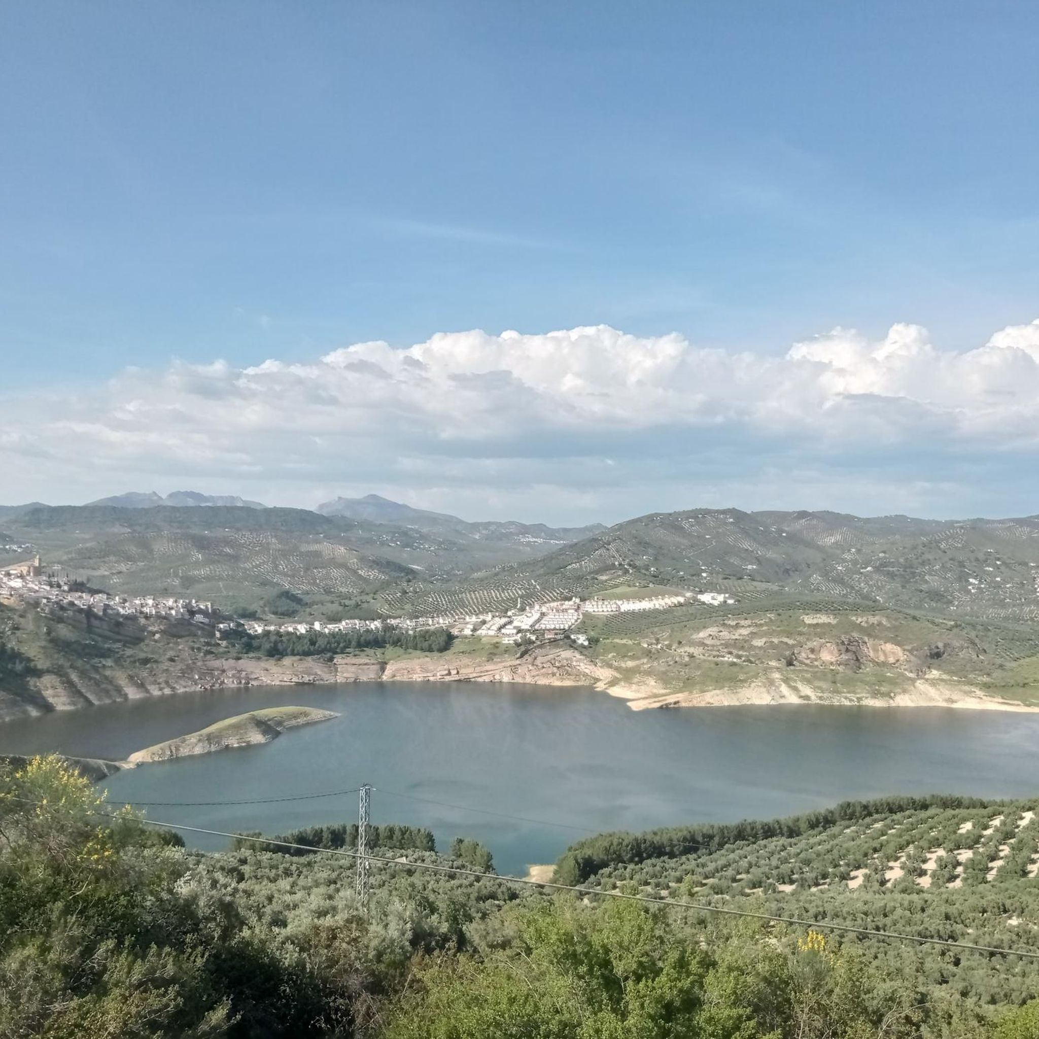

Tips from the Community

This is supposedly the most photographed street in Andalusia. It's certainly fascinating.
0
0


This signpost shows hikers the different paths the direction
3
0
Cozy hostel with a good restaurant. We stayed there on our long-distance hike from Tarif to Switzerland and can highly recommend it.
4
0
Frequently Asked Questions
How many hiking trails are available around Villanueva De Tapia?
There are over 20 hiking routes documented around Villanueva De Tapia, offering a variety of experiences. These include 10 easy routes, 13 moderate routes, and 1 difficult route, catering to different fitness levels.
What kind of landscapes can I expect to see while hiking in Villanueva De Tapia?
The region around Villanueva De Tapia offers diverse landscapes. You'll find extensive olive groves and cereal fields, particularly to the north towards Iznájar. As you venture further, the terrain transitions into old oak and pine forests, rocky areas, and native vegetation like gall oaks and Holm oaks at higher elevations. To the south, the Sierra del Pedroso provides more challenging trails and scenic views.
Are there any easy, family-friendly hiking options?
Yes, Villanueva De Tapia offers several easy routes suitable for families. For instance, the Iznájar – Iznájar Village loop from Iznájar is an easy 6.3 km trail that takes about 1 hour 48 minutes, offering pleasant views of the village. Another great option is the Iznájar Village – Courtyard of the Comedies loop from Iznájar, an easy 6.8 km path exploring the village and its historical courtyards.
What are some notable landmarks or attractions I can see near the hiking trails?
While hiking, you can explore several interesting landmarks. Consider visiting the historic Iznájar Castle and the Parish Church of Saint James the Apostle. The region also features natural beauty spots like the El Cedrón Viewpoint, offering panoramic vistas, and the tranquil El Cañuelo Trail – Iznájar Reservoir. Don't miss the unique Trifinio marker, where the provinces of Córdoba, Granada, and Málaga converge.
What is the best time of year to go hiking in Villanueva De Tapia?
Villanueva De Tapia enjoys a mild climate with an average annual temperature around 15.6 °C, making it suitable for hiking year-round. Spring and autumn offer particularly pleasant temperatures for longer excursions, while winter hikes can be refreshing. Even in summer, early morning or late afternoon walks are enjoyable, especially on shaded trails or in higher elevations.
Are there any circular hiking routes in the area?
Yes, many of the trails around Villanueva De Tapia are designed as circular routes, allowing you to start and end in the same location. Examples include the Iznájar Village – Views of the Genil River loop from Iznájar, an easy 6.4 km route, and the Scenic Trail PR-A-234 – Iznájar Dam loop from Presa de Iznájar, which is 5.5 km long.
What do other hikers say about the trails in Villanueva De Tapia?
The hiking trails around Villanueva De Tapia are highly rated by the komoot community, with an average score of 4.3 stars from over 50 reviews. Hikers often praise the diverse scenery, from olive groves to forests, and the well-maintained paths that cater to various skill levels.
Are dogs allowed on the hiking trails?
Generally, dogs are welcome on most hiking trails in the natural areas around Villanueva De Tapia. However, it's always advisable to keep your dog on a leash, especially in areas with livestock or wildlife, and to follow local regulations regarding pet access. Remember to bring water for your dog and clean up after them.
Are there any challenging hikes for experienced hikers?
While many routes are easy to moderate, the region does offer more challenging options, particularly in the Sierra del Pedroso to the south of Villanueva de Tapia. These hills reach altitudes of up to 1205 meters, providing steeper ascents and more rugged terrain for experienced hikers seeking a greater challenge. One difficult route is available in the area.
What are some points of interest related to water features in the region?
The area is marked by streams like the Cerezo and Aulaguilla, with the Arroyo del Cerezo feeding into the Iznájar reservoir. You can explore the El Cañuelo Trail – Iznájar Reservoir, which offers beautiful views of the water. Additionally, the ancient Los Allalantes Fountain in Villanueva de Tapia has supplied the town with water since the 18th century.
Is there public transport or parking available for hikers?
While specific public transport routes directly to trailheads may be limited, Villanueva de Tapia is accessible by road. Parking is generally available within the town and at various starting points for trails. It's recommended to check local information for the most convenient parking options depending on your chosen route.
Most popular routes around Villanueva De Tapia
Most popular attractions around Villanueva De Tapia

Get inspired with the komoot mobile app


Explore more
Browse the best Hikes in other regions.
