The best MTB trails around Dos Aguas
4.2
(41)
760
riders
78
rides
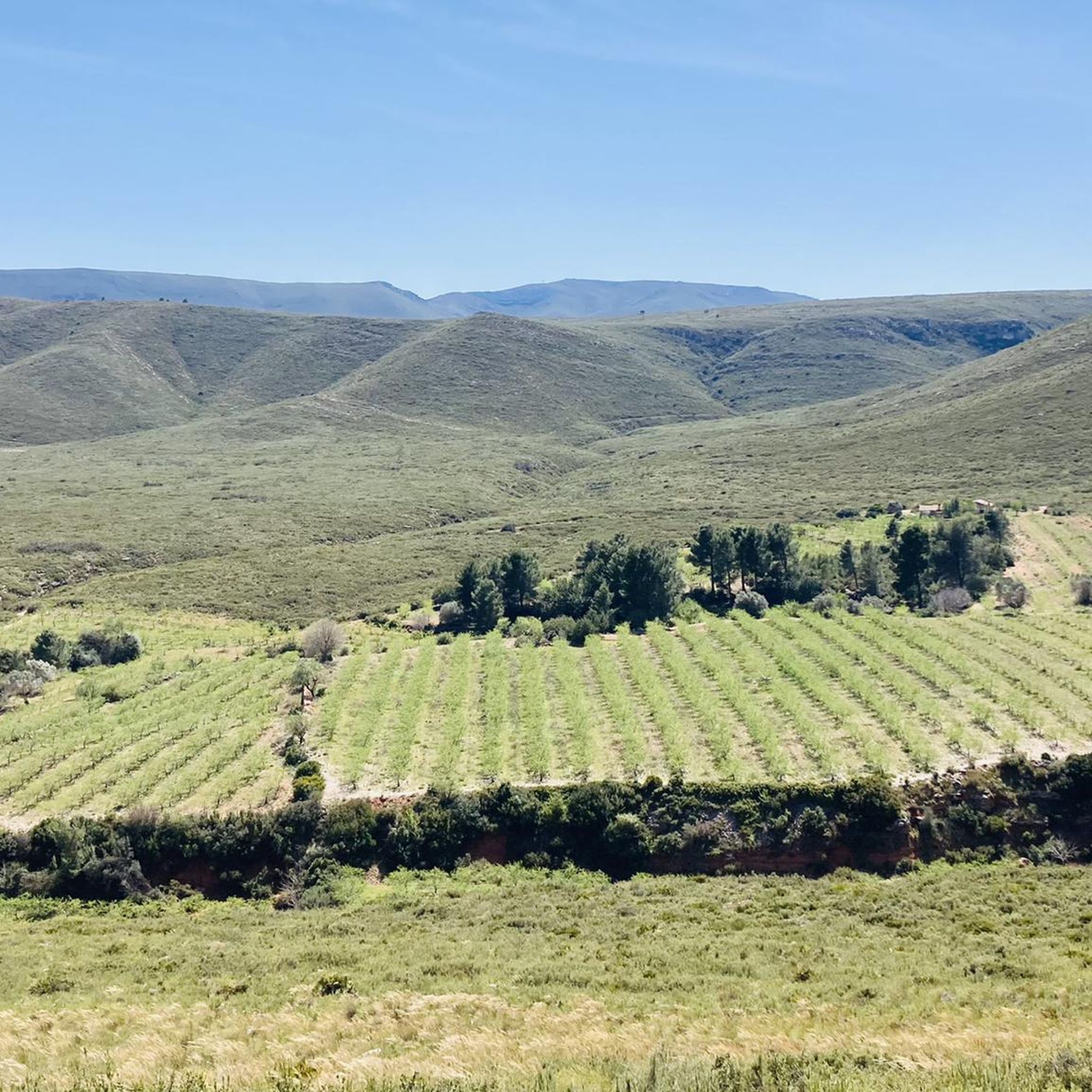
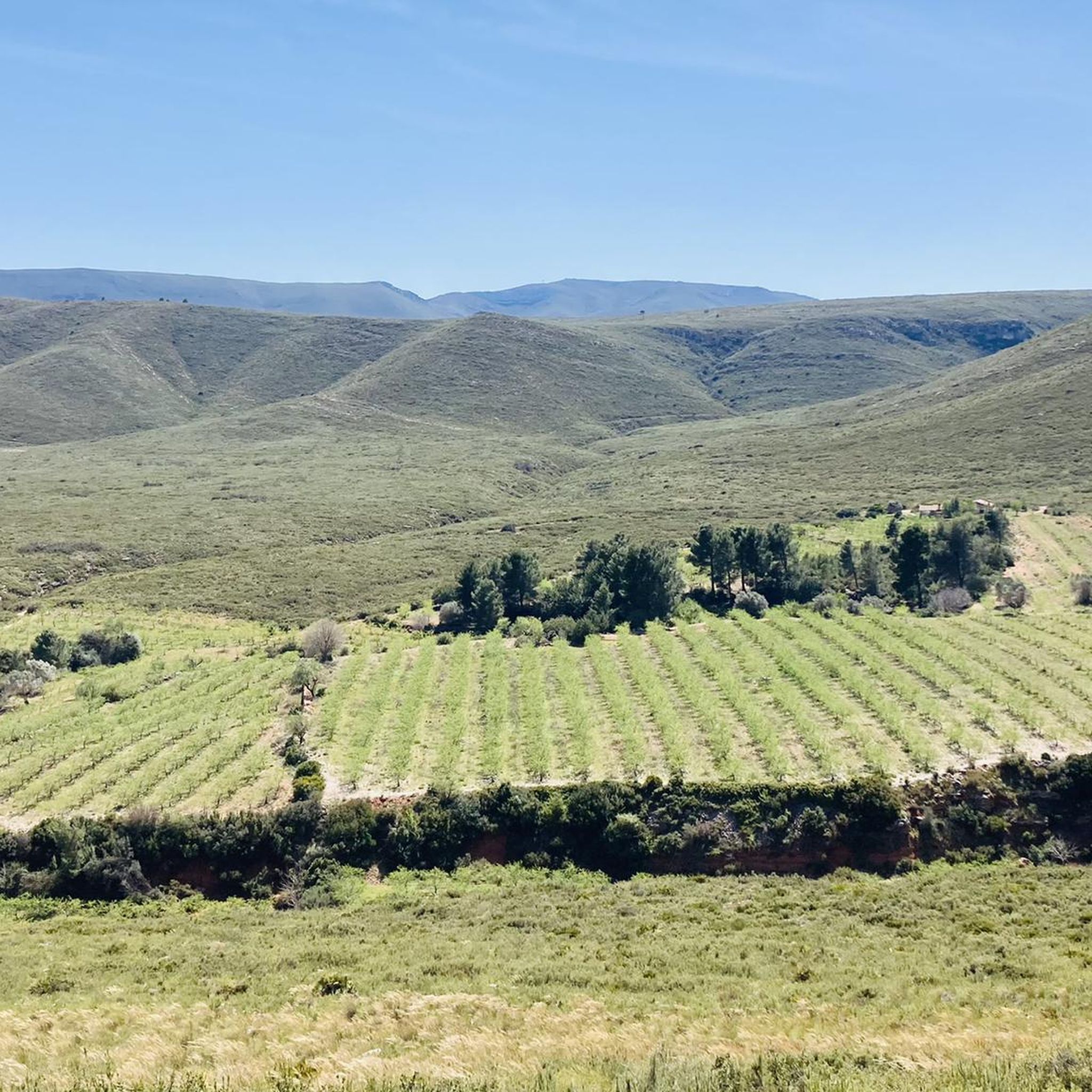
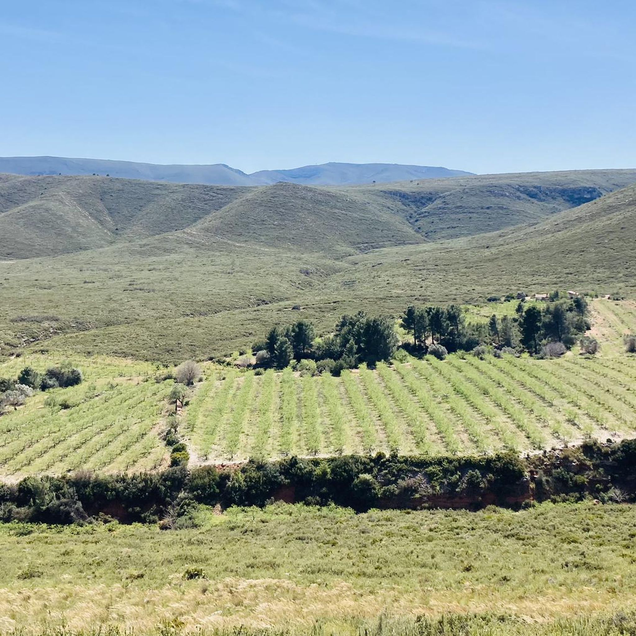
Mountain bike trails around Dos Aguas are found in a rural setting within the Valencian Community of Spain, characterized by a rugged Mediterranean landscape. The region features an extensive network of trails winding through nearby mountains, scrubland, and areas with olive, carob, and almond groves. This mountainous terrain provides varied routes for mountain bikers, including paths leading to peaks like El Ave and Sierra del Caballón.
Best mountain bike trails around Dos Aguas
- The most popular mountain bike trail is…
Last updated: June 27, 2026
3.0
(1)
2
riders
48.4km
04:15
810m
810m
Moderate mountain bike ride. Good fitness required. Advanced riding skills necessary.
3.0
(1)
2
riders
56.9km
05:12
1,310m
1,310m
Hard mountain bike ride. Very good fitness required. Advanced riding skills necessary. Some portions of the route may require you to push your bike.

Sign up for free
4.3
(3)
109
riders
50.0km
04:03
760m
760m
Moderate mountain bike ride. Good fitness required. Suitable for all skill levels.
78
riders
42.2km
03:25
590m
590m
Moderate mountain bike ride. Good fitness required. Suitable for all skill levels.
33
riders
72.6km
06:15
1,380m
1,380m
Hard mountain bike ride. Very good fitness required. Advanced riding skills necessary.
Get access to more routes and recommendations from other explorers.
Sign up for free
Already have an account?
Our route recommendations are based on thousands of hikes, rides, and runs completed by other people on komoot.
Start today with a free account
Your next adventure awaits.
Login or Signup
Tips from the Community

Un bon lloc per a descansar després o abans de rodar el Matamon o Colaita en bici. Taules i banquets, zona per a torrar carn o fer paella i jocs infantils.
1
0
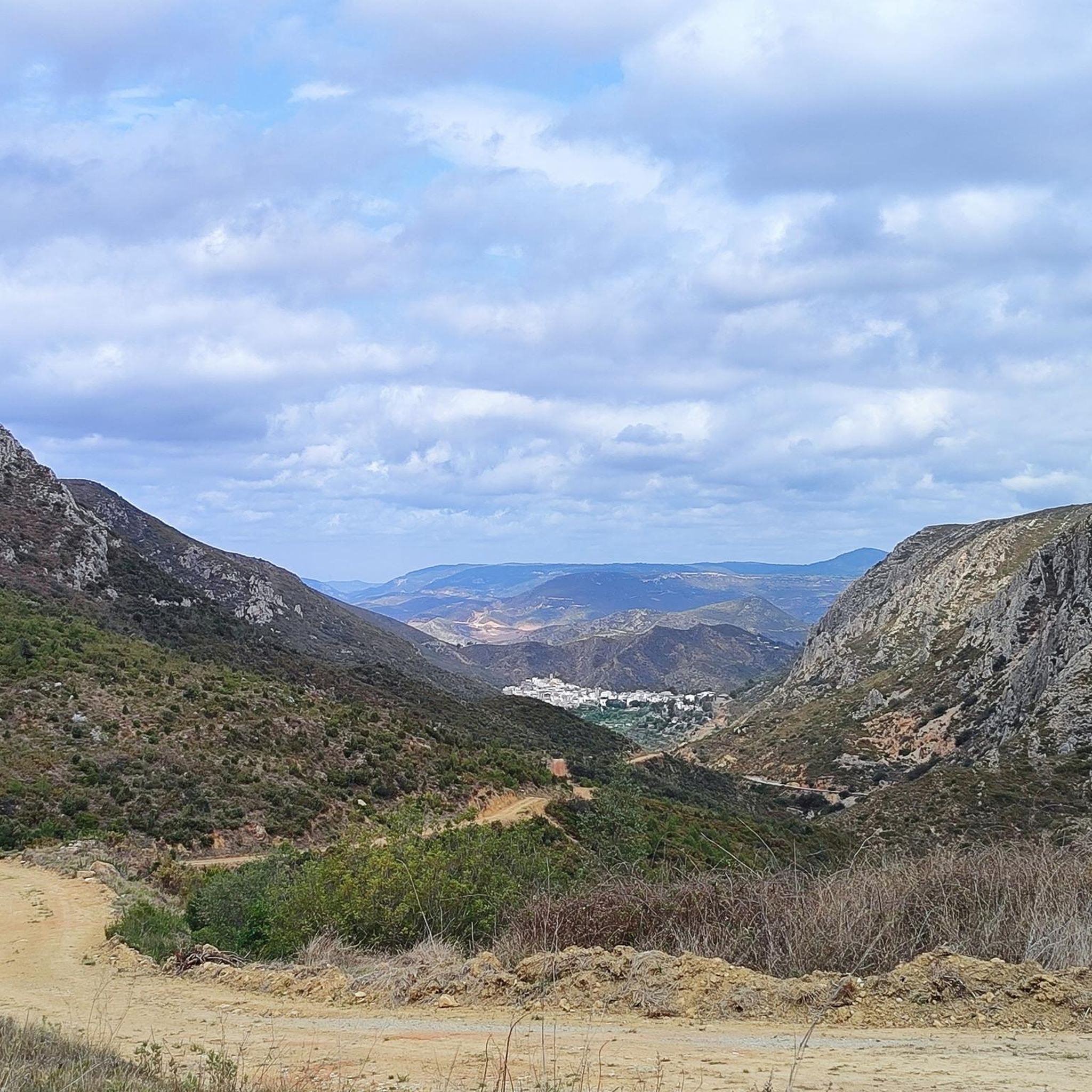
A virgin landscape with very steep slopes, especially from north to south.
1
0
Pleasant route through a virgin landscape, with very demanding elevation changes, especially if done in a north-south direction.
1
0

The Mijares River rises at an altitude of 1,600 m in the Sierra de Gúdar mountain range, part of the Iberian System. The Mijares forms a 4,028 km² valley basin. After 156 km, the river flows into the Mediterranean Sea at Valencia.
0
0

Tremendous views of the area. It's worth climbing
1
0

Alto de la Creu Blanca de Turis. I didn't want to pass because there was a private property chain and sign. Another day....
0
0

Be careful, very steep concrete ramps
1
0
Concrete ramps with very hard inclines. But the views are worth it.
2
0
Frequently Asked Questions
How many mountain bike trails are available in Dos Aguas?
Dos Aguas offers a wide selection of mountain bike trails, with over 80 routes available for exploration. These trails cater to various skill levels, ensuring there's something for everyone.
What are the difficulty levels of mountain bike trails in Dos Aguas?
The trails in Dos Aguas range from easy to difficult. You'll find 13 easy routes, 54 moderate routes, and 16 challenging difficult routes, providing options for all experience levels.
What kind of terrain can I expect on the mountain bike trails in Dos Aguas?
You can expect a rugged Mediterranean landscape with mountainous terrain, winding through scrubland and rural areas dotted with olive, carob, and almond groves. The trails often lead to scenic peaks like El Ave and Sierra del Caballón.
Are there any loop mountain bike trails in Dos Aguas?
Yes, many mountain bike trails in Dos Aguas are designed as loops. For example, you can explore L'Estepar Viewpoint – Senglar Trail loop from Real, which takes you through varied Mediterranean scrubland.
What natural features or landmarks can I see while mountain biking in Dos Aguas?
While mountain biking, you can encounter several natural attractions and historical landmarks. Consider visiting the stunning Turche Cave Waterfall or the beautiful pool on the Juanes River. You might also spot historical sites like Chirel Castle or the Tower of the Castle of Montroy.
What do other mountain bikers say about the trails in Dos Aguas?
The mountain bike trails in Dos Aguas are highly regarded by the komoot community, boasting an average rating of 4.2 stars from over 40 reviews. More than 900 mountain bikers have used komoot to explore the varied terrain, often praising the diverse landscapes and well-maintained paths.
Are there any family-friendly mountain bike trails in Dos Aguas?
While the guide highlights moderate and difficult trails, there are 13 easy routes available in Dos Aguas that could be suitable for families. These trails generally feature less elevation gain and smoother terrain, making them more accessible for riders of varying skill levels.
Are there any trails with significant elevation gain for a challenging ride?
Absolutely. For a challenging ride with significant elevation gain, consider the difficult La Tabarla — Circular from the Forata Reservoir, which features over 1300 meters of ascent. Another demanding option is the Tres Pins Recreation Area – View of Dos Aguas loop from Montroi, offering similar elevation challenges.
How long are the mountain bike trails near Dos Aguas?
Trail lengths vary significantly. For instance, the moderate La Hoya de Buñol - Circular from Montroi is about 48 km (30 miles) long, while the difficult La Tabarla — Circular from the Forata Reservoir stretches to 57 km (35.4 miles). There are also shorter and longer options available.
Is parking available for mountain bikers in Dos Aguas?
Yes, parking is generally available in and around the villages that serve as starting points for many trails, such as Montroi or Real. Specific parking information can often be found on individual route pages or local tourism websites.
What is the best time to visit Dos Aguas for mountain biking?
The Valencian Community, where Dos Aguas is located, generally offers pleasant weather for mountain biking for much of the year. Spring and autumn are particularly ideal, with milder temperatures. Summers can be hot, so early morning rides are recommended, while winters are typically mild.
Are there places to eat or stay near the mountain bike trails?
Dos Aguas and surrounding villages like Montroi and Real offer local amenities including cafes, pubs, and accommodation options. These provide convenient spots for refreshments and overnight stays for cyclists exploring the region.
Most popular routes around Dos Aguas
Most popular attractions around Dos Aguas

Get inspired with the komoot mobile app


Explore more
Browse the best MTB trails in other regions.
