The best walks and hikes around San Nicolás De Tolentino
4.3
(1263)
5,857
hikers
27
hikes
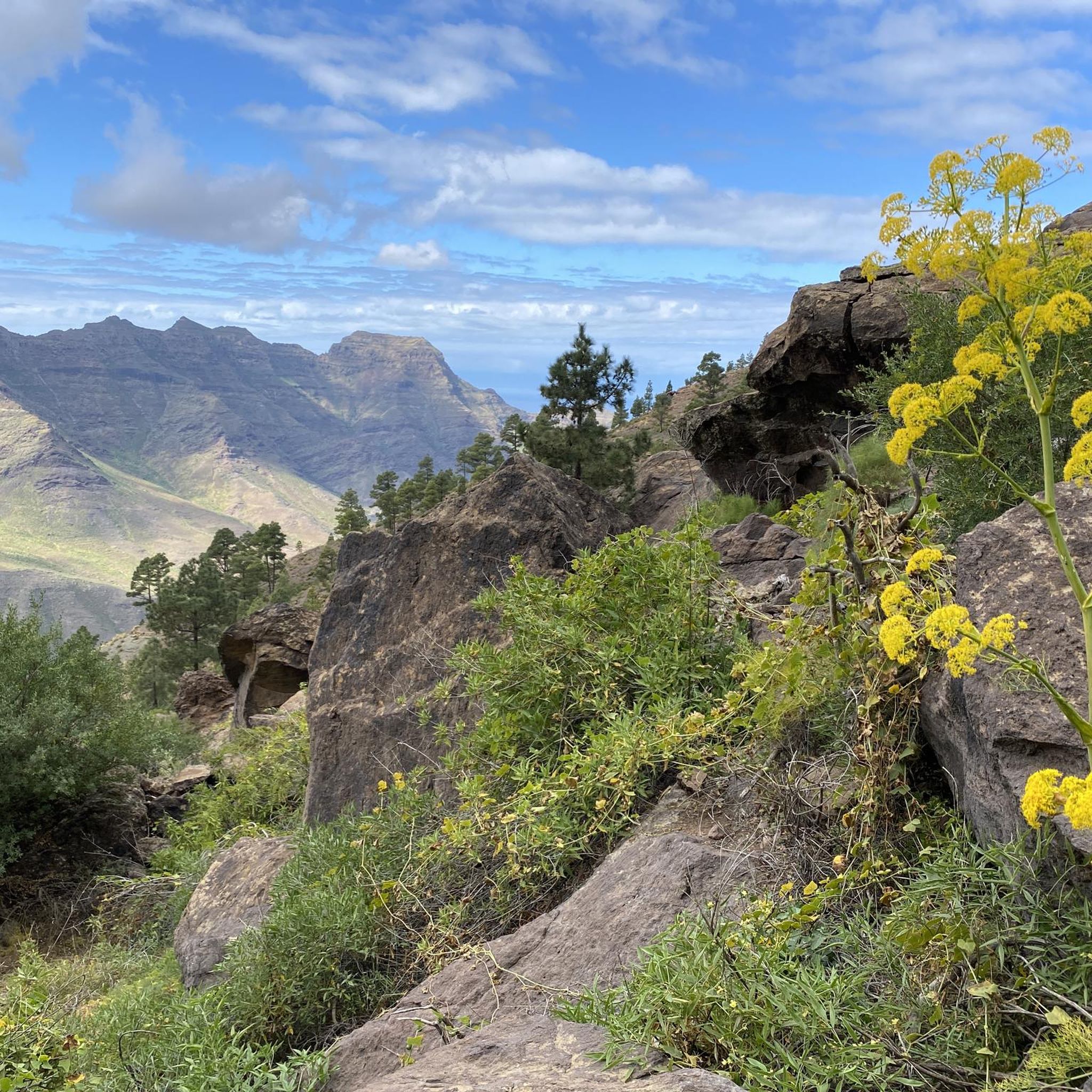
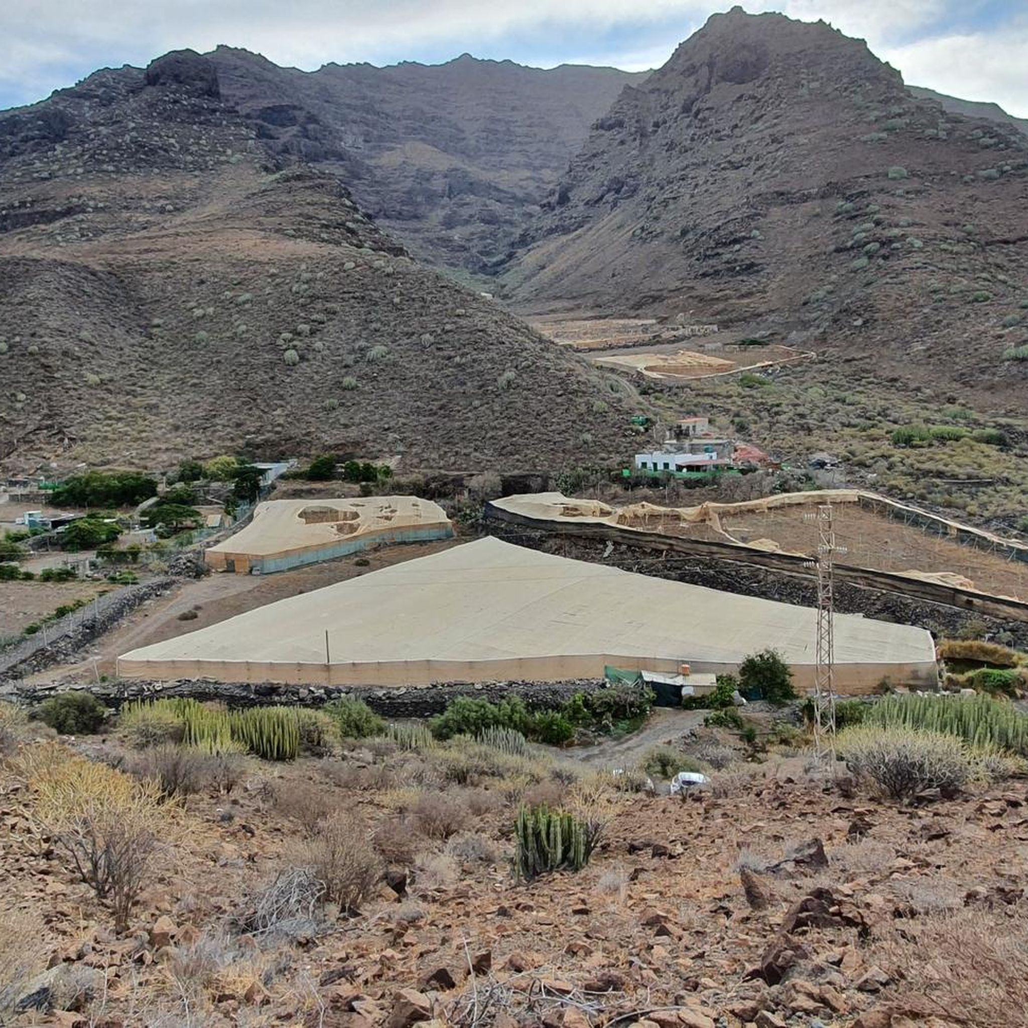
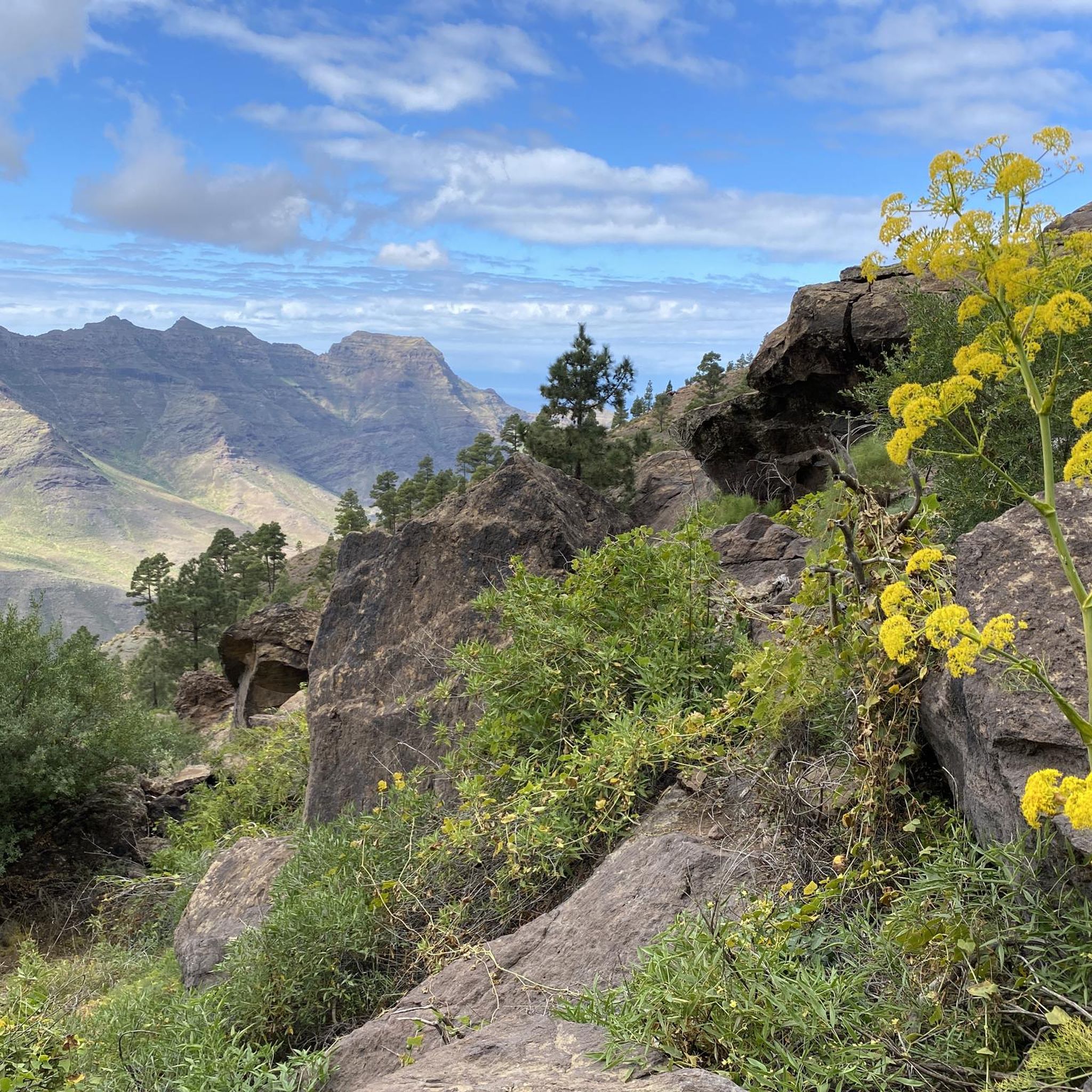
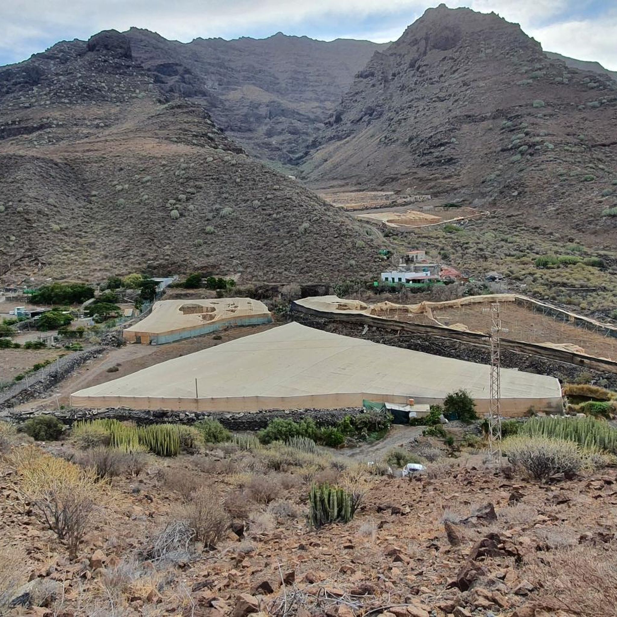
Hiking around San Nicolás De Tolentino offers diverse landscapes, from dramatic volcanic areas and prominent mountain peaks to deep gorges and unique geological formations. The region is characterized by varied terrain, including pine forests, colorful rock formations, and coastal views. Hikers can experience panoramic vistas over the Tejeda valley, with views of Roque Nublo and Roque Bentayga, and on clear days, even Tenerife.
Best hiking trails around San Nicolás De Tolentino
- The most popular hiking route is Degollada de Aguasabina…
Last updated: October 11, 2026
4.8
(255)
1,425
hikers
9.38km
05:06
860m
860m
Hard hike. Very good fitness required. Mostly accessible paths. Sure-footedness required.
4.5
(291)
1,087
hikers
Moderate hike. Good fitness required. Easily-accessible paths. Suitable for all skill levels.

4.7
(150)
377
hikers
9.74km
03:23
540m
540m
Moderate hike. Good fitness required. Easily-accessible paths. Suitable for all skill levels.
4.8
(230)
1,092
hikers
14.6km
06:39
1,010m
1,010m
Hard hike. Very good fitness required. Mostly accessible paths. Sure-footedness required.
4.2
(13)
56
hikers
Easy hike. Great for any fitness level. Easily-accessible paths. Suitable for all skill levels.
Get access to more routes and recommendations from other explorers.
Already have an account?
Our route recommendations are based on thousands of hikes, rides, and runs completed by other people on komoot.
Start today with a free account
Your next adventure awaits.

Tips from the Community

We turned back here because it became very unclear what the path forward was.
1
0

Sometimes you can get treated water from him for a small donation.
1
0

Medium difficulty hike: about 3/4 hours on the way there (depends on breaks and pace) and 3/4 hours on the way back. Bring plenty of water and protect yourself from the sun because the route is often in the sun, although occasionally it is also in the shade. The landscape is breathtaking😍
0
0

Before the climb, another cool drink... wonderful
2
1
The path is steep and therefore difficult to follow, there are no green markers or cairns. make sure you wear sturdy walking shoes and possibly sticks.
0
0

Very nice little sandy beach. The only way to get there is on foot and it is just as beautiful.
0
0

The rating "easy" is a slight understatement. Please note!
4
0

You can't get to the summit, but you can (easily) get to the base of the wall with some "view"
1
0
Frequently Asked Questions
How many hiking trails are available in San Nicolás De Tolentino?
There are over 25 hiking routes in San Nicolás De Tolentino, offering a diverse range of experiences. These include 7 easy trails, 11 moderate paths, and 7 more challenging routes for experienced hikers.
What kind of landscapes can I expect to see while hiking in San Nicolás De Tolentino?
Hikers in San Nicolás De Tolentino can expect a rich variety of landscapes, from dramatic volcanic areas and prominent mountain peaks to deep gorges and unique geological formations. You'll find pine forests, colorful rock formations like those near Los Azulejos, and coastal views. Many routes offer panoramic vistas over the Tejeda valley, with views of Roque Nublo and Roque Bentayga, and on clear days, even Tenerife.
Are there any family-friendly hiking options in San Nicolás De Tolentino?
Yes, San Nicolás De Tolentino offers several family-friendly hiking options. Areas like Cruz de Tejeda serve as popular starting points for easier walks. For a specific route, consider the Small tunnel – View of Playa Chica loop from Sitio Etnológico Charco de la Aldea, which is rated as easy and covers about 4.7 km.
Can I bring my dog on the hiking trails in San Nicolás De Tolentino?
While many trails in Gran Canaria are dog-friendly, it's always best to check specific regulations for each route or protected area within San Nicolás De Tolentino. Generally, dogs should be kept on a leash, and owners are responsible for cleaning up after them. Some natural parks or reserves might have stricter rules regarding pets.
What are some notable natural features or landmarks to look out for on the trails?
San Nicolás De Tolentino is rich in natural landmarks. You can explore the unique geological formations of Los Azulejos with its contrasting, colorful rocks. The region also offers views of iconic peaks like Roque Nublo and Roque Bentayga. For specific points of interest, consider visiting the Tamadaba Peak or exploring the Goat Caves at Degollada de las Yeguas.
Are there any circular hiking routes available?
Yes, many routes in San Nicolás De Tolentino are circular, allowing you to start and end at the same point. Examples include the challenging Degollada de Aguasabina – Playa de Güigüí Grande loop from Garcia Moreno, or the moderate Playa de El Puerto – View over Puerto de la Aldea loop from Sitio Etnológico Charco de la Aldea.
What is the best time of year to go hiking in San Nicolás De Tolentino?
Gran Canaria, including San Nicolás De Tolentino, generally enjoys a mild climate year-round, making hiking possible in most seasons. However, the cooler months from autumn to spring (October to May) are often preferred for hiking to avoid the peak summer heat, especially on more exposed trails. Always check local weather forecasts before heading out.
Are there any long-distance or challenging hikes in the area?
Yes, for those seeking a challenge, San Nicolás De Tolentino offers several difficult routes. The hike to Playa de Güigüí, for instance, is considered a rewarding but difficult endeavor due to its access. Another challenging option is the Degollada de Aguasabina – Playa de Güigüí Grande loop from Playa del Hornillo, which covers nearly 15 km with significant elevation changes.
What do other hikers say about the trails in San Nicolás De Tolentino?
The hiking routes in San Nicolás De Tolentino are highly rated by the komoot community, with an average score of 4.4 stars from over 1,100 reviews. Hikers often praise the diverse terrain, the stunning panoramic views over the Tejeda valley, and the unique geological formations like Los Azulejos.
Are there any caves or archaeological sites accessible near the hiking trails?
Yes, the region around San Nicolás De Tolentino features several interesting caves and archaeological sites. You can find the Berbique Caves Archaeological Site and the Goat Caves at Degollada de las Yeguas. The Bandama Caldera also holds traces of aboriginal life, offering a glimpse into the area's history.
Are there any trails that offer views of the coastline?
Absolutely. Many routes provide stunning coastal vistas. For example, the Playa de El Puerto – View over Puerto de la Aldea loop from Sitio Etnológico Charco de la Aldea offers views over Puerto de la Aldea. The Bandama Caldera trail also provides majestic views of the coastline stretching from Telde to Las Palmas.
Is public transport available to reach hiking trailheads?
While specific public transport routes to every trailhead can vary, Gran Canaria has a bus network that connects many towns and villages. It's advisable to research local bus schedules (guaguas) to see if they serve the starting points of your chosen hikes. Some popular areas like Cruz de Tejeda are generally more accessible by public transport.
Are there any easy routes suitable for beginners?
Yes, beginners can find suitable trails in San Nicolás De Tolentino. There are 7 routes classified as easy. A good option to start with is the Small tunnel – View of Playa Chica loop from Sitio Etnológico Charco de la Aldea, which is a relatively short and gentle path.
Most popular routes around San Nicolás De Tolentino
Most popular attractions around San Nicolás De Tolentino

Get inspired with the komoot mobile app


Explore more
Browse the best Hikes in other regions.
