The best mountain hikes around Fuencaliente De La Palma
4.8
(6)
32
hikers
5
hikes
Mountaineering routes around Fuencaliente De La Palma explore a dramatic volcanic landscape, shaped by centuries of eruptions. The region features extensive black lava fields, dark peaks, and numerous craters, forming part of the Cumbre Vieja Nature Park. This area offers diverse terrain for mountaineers, from challenging ascents to routes through unique geological formations.
Best mountaineering routes around Fuencaliente De La Palma
- The most popular mountaineering route is Hoyo Negro Crater – Deseada Peak loop from Montaña de los Tomillos,…
Last updated: October 18, 2026
4.5
(2)
18
hikers
14.5km
05:47
690m
690m
Hard mountaineering route. Very good fitness required. Mostly accessible paths. Sure-footedness required.
5.0
(3)
11
hikers
Moderate mountaineering route. Good fitness required. Easily-accessible paths. Suitable for all skill levels.

5.0
(1)
2
hikers
Hard mountaineering route. Good fitness required. Sure-footedness, sturdy shoes and alpine experience required.
9.01km
03:36
650m
650m
Moderate mountaineering route. Good fitness required. Mostly accessible paths. Sure-footedness required.
1
hikers
8.46km
02:57
400m
400m
Hard mountaineering route. Good fitness required. Sure-footedness, sturdy shoes and alpine experience required.
Our route recommendations are based on thousands of hikes, rides, and runs completed by other people on komoot.
Start today with a free account
Your next adventure awaits.
Popular around Fuencaliente De La Palma

Trail on the Canary Islands – discover the legendary races!
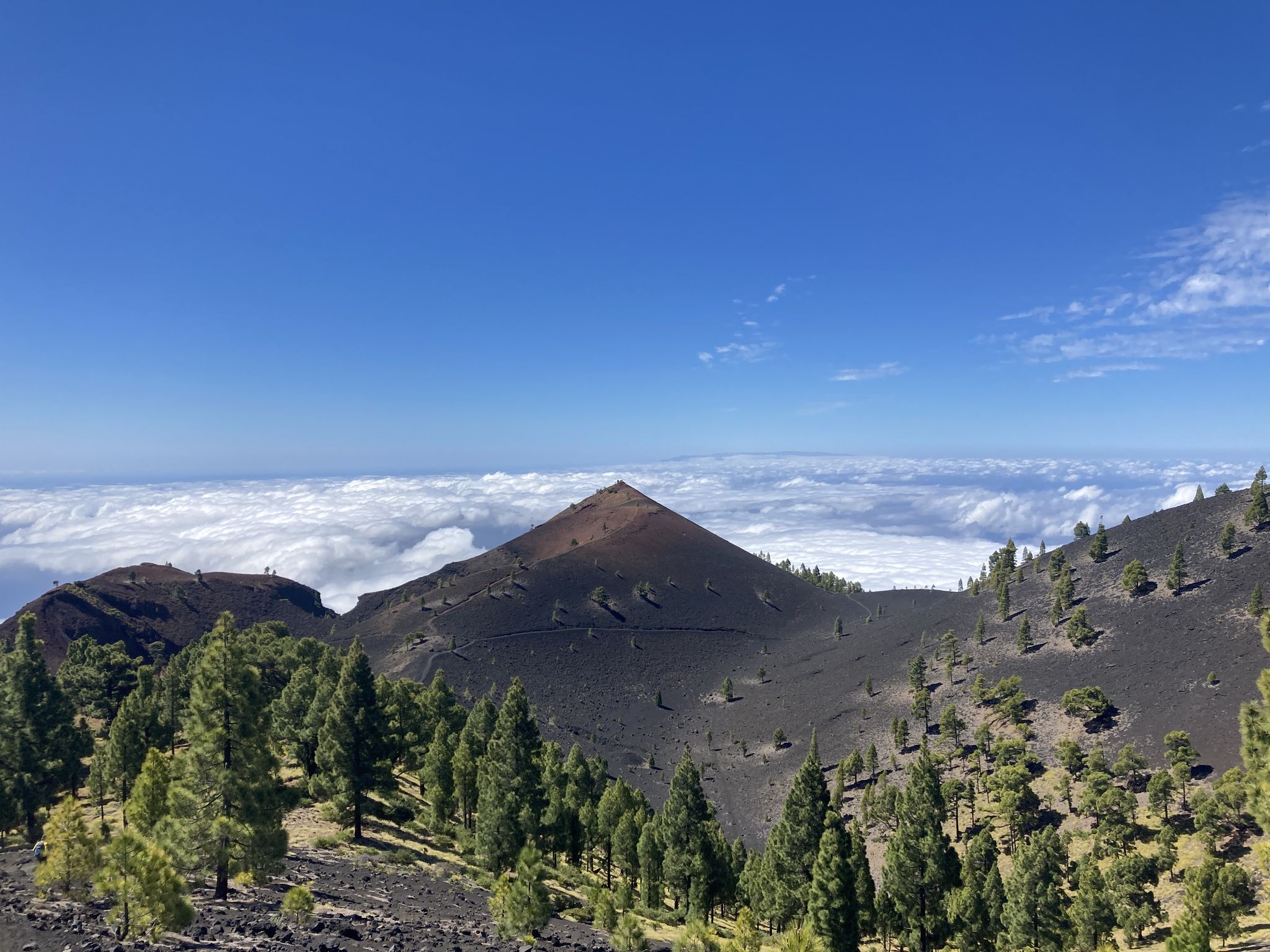
Transvulcania - traverse la Palma in the Canary Islands on the GR 131
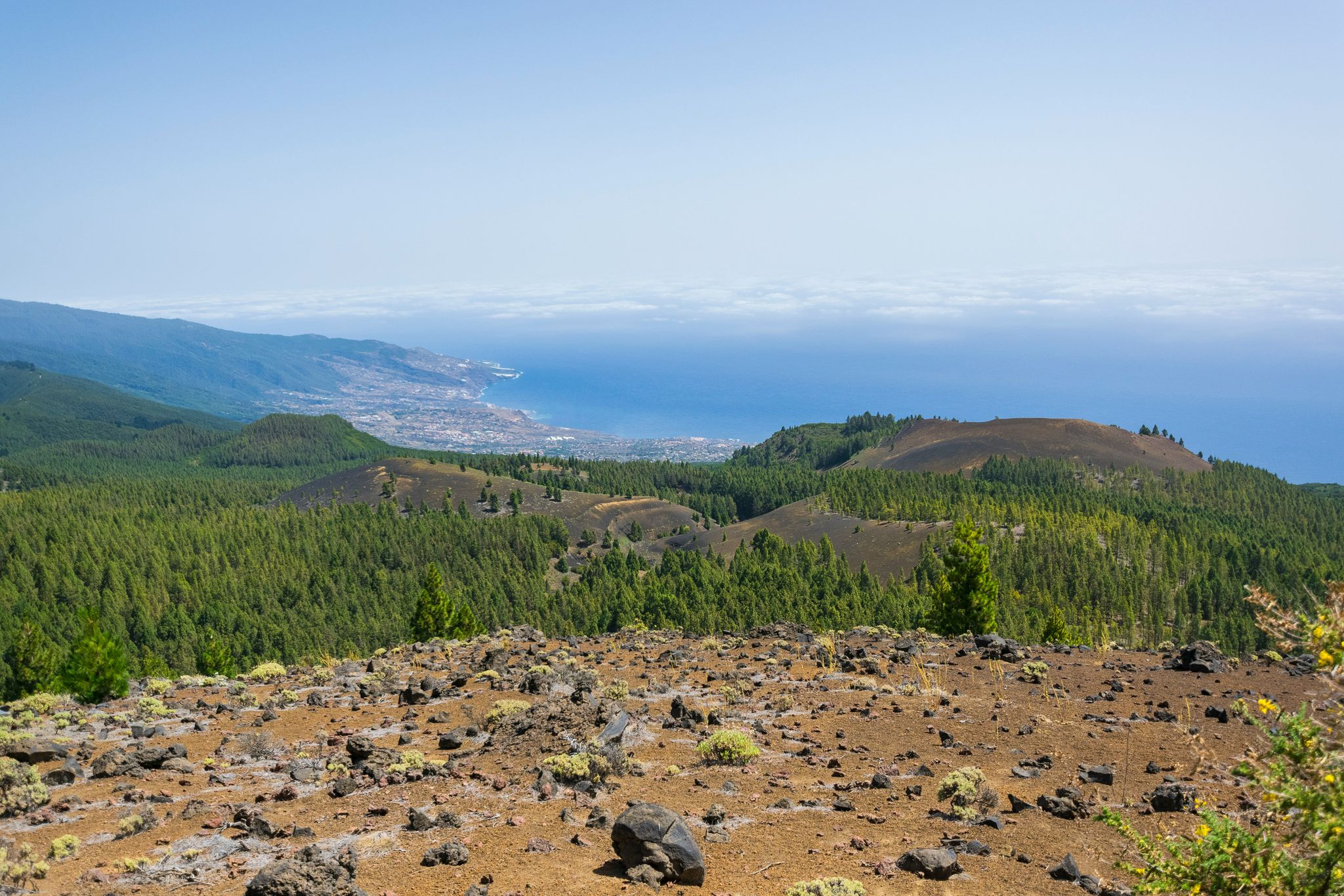
Around the beautiful island – La Palma Nature Trail (GR 130)
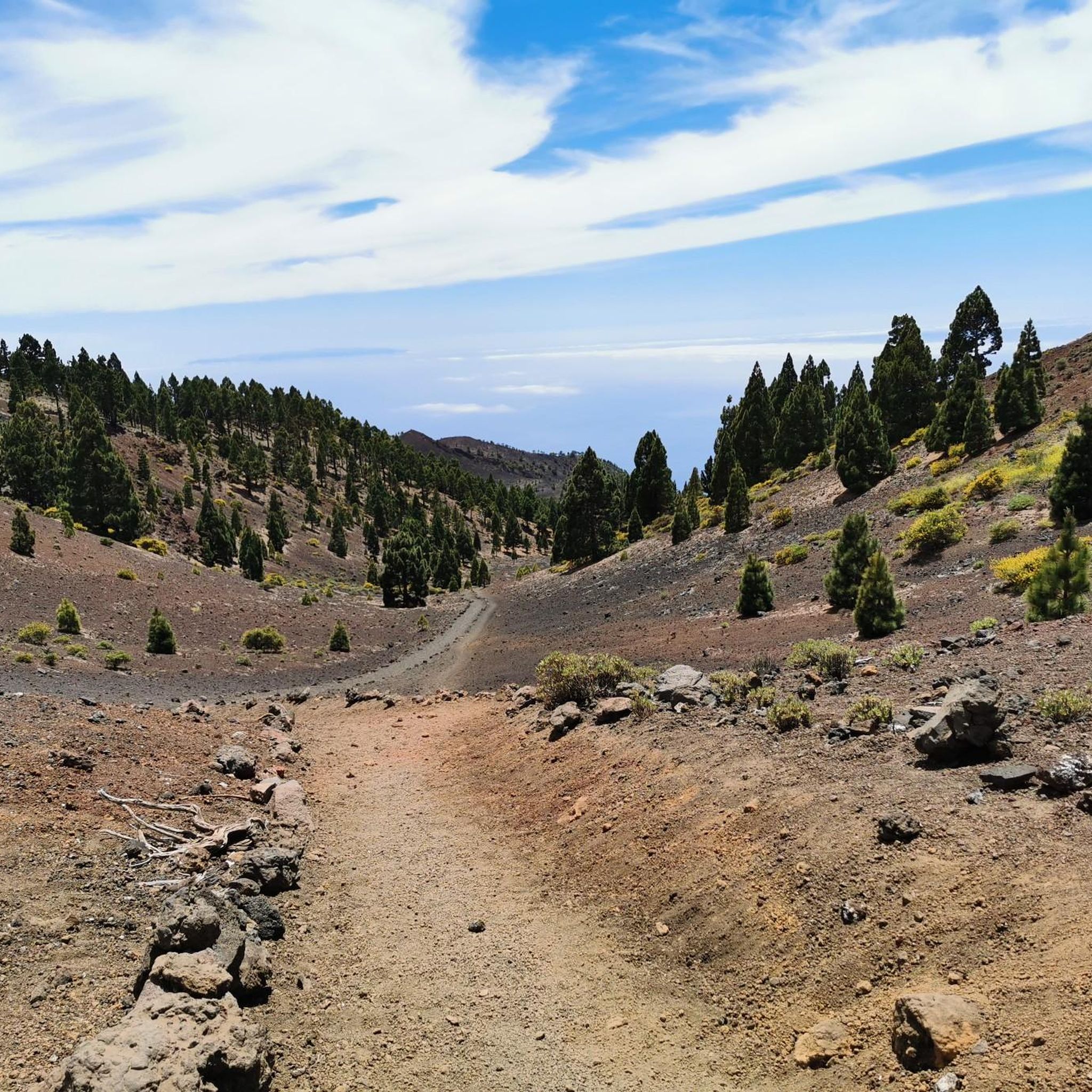
Hiking around Fuencaliente De La Palma
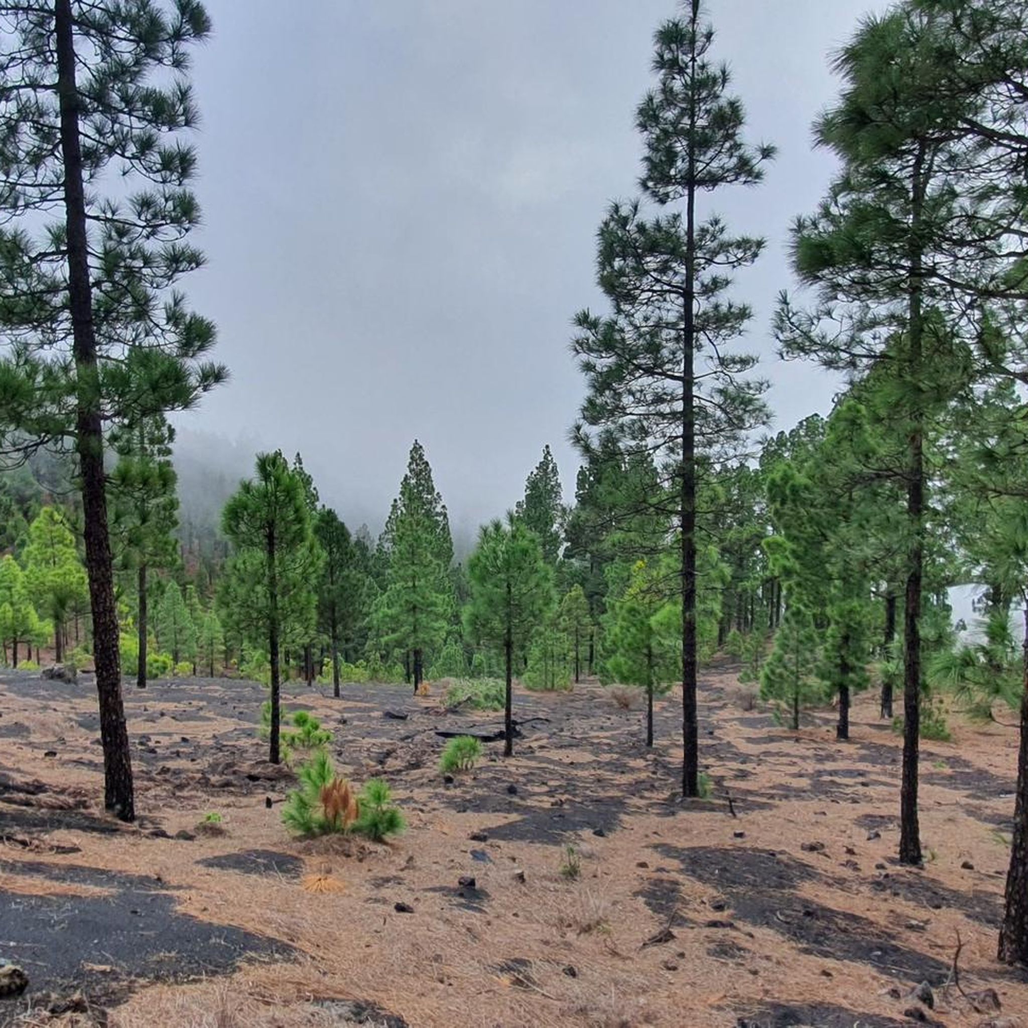
Road Cycling Routes around Fuencaliente De La Palma
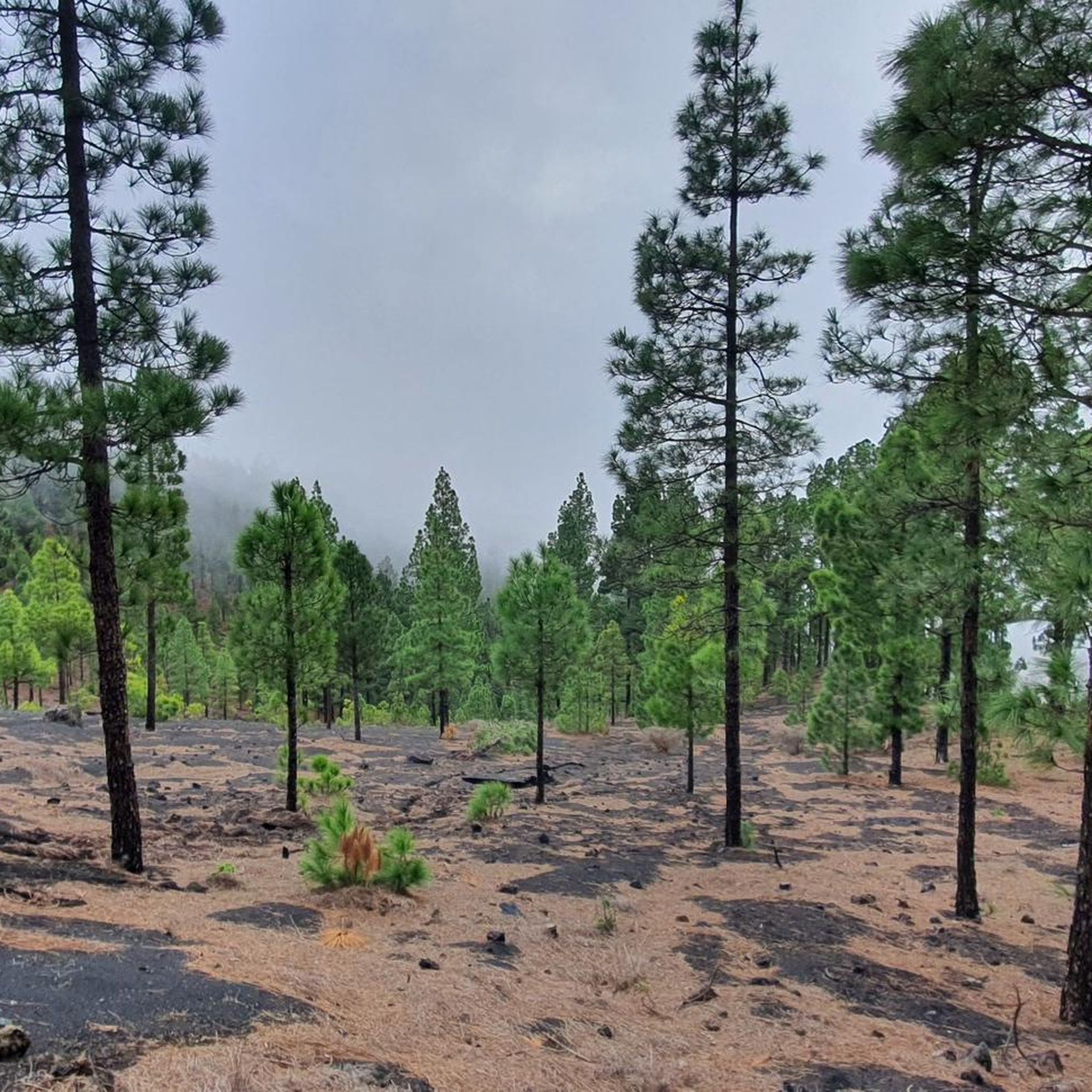
Running Trails around Fuencaliente De La Palma
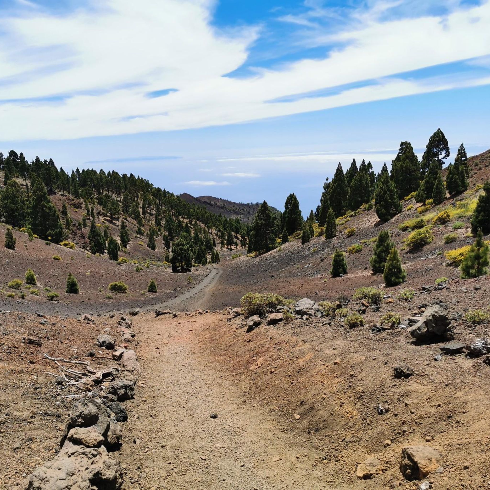
Cycling around Fuencaliente De La Palma
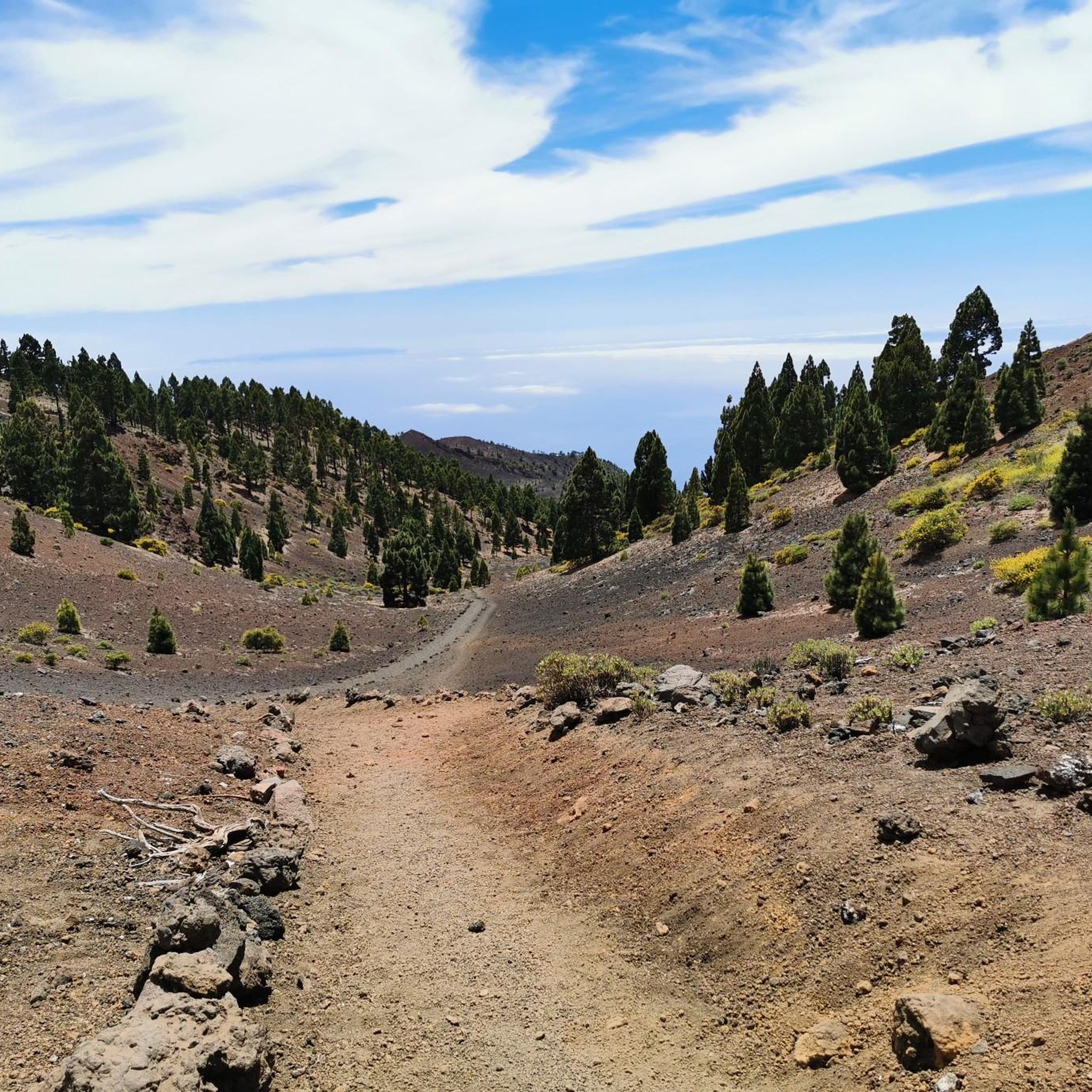
MTB Trails around Fuencaliente De La Palma
Other adventures around Fuencaliente De La Palma


Tips from the Community

The already established circular route through the saltworks shows salt production. It is really interesting. The salt obtained there could even be purchased on-site. A small café/restaurant is also there for a little something to eat/drink at the end.
0
0

This spectacular volcanic ridge offers, on either side of the trail, wide views of the Atlantic and the pine-covered slopes. Looking ahead, you can also admire the rugged relief of the ridge.
0
0

The rest area no longer exists after the volcanic eruption! The path there across the lava flow is very difficult to find!
0
0

The highest peak on the volcano route, offering a magnificent panoramic view: of the caldera, Tenerife with Mount Teide, and the next volcanic craters along the route. Caution: it can be quite windy on the ascent.
0
0

Highest point of the Ruta de los Volcanos from El Pilar to Fuencaliente
0
0
This is an easy trail that offers a good view of the caldera of the vulcano.
0
0
From this viewpoint, the Ruta de los Vulcanos curves to the right of the Volcán Duráznero, but there is another trail that takes you straight over the top of this volcano and the next one, the Deseada.
0
0
Just after the start of the 17 km long Ruta de los Vulcanos from El Pilar to Fuencaliente, you will pass the only viewpoints of the Caldera de Taburiente.
0
0
Frequently Asked Questions
How many mountaineering routes are available in Fuencaliente De La Palma?
There are 8 mountaineering routes around Fuencaliente De La Palma, offering diverse experiences through volcanic landscapes. These routes range from moderate to difficult, ensuring options for various skill levels.
What kind of terrain can I expect on the mountaineering routes?
You can expect dramatic volcanic landscapes, characterized by extensive black lava fields, dark peaks, and numerous craters. Many routes traverse parts of the Cumbre Vieja Nature Park, offering unique geological formations and occasional pine forests.
Are there any circular mountaineering routes in the area?
Yes, several routes are circular. For instance, the View of Volcán de Teneguía loop from Fuencaliente de La Palma is a moderate 7.0-mile (11.2 km) trail that offers stunning views of the volcano and surrounding terrain.
What natural landmarks or viewpoints can I discover along the routes?
The routes offer incredible views of volcanic landmarks. You can explore craters like Hoyo Negro Crater and the iconic San Antonio Volcano. Many trails also provide panoramic vistas of the Atlantic Ocean and neighboring islands, with the Llano del Jable Astronomical Viewpoint being a notable spot for expansive views.
Are there any challenging mountaineering routes for experienced hikers?
Absolutely. For those seeking a challenge, the Hoyo Negro Crater – Deseada Peak loop from Montaña de los Tomillos is a difficult 9.0-mile (14.5 km) route that takes you through volcanic craters and up to Deseada Peak, offering demanding ascents and rewarding views.
What is the best time of year for mountaineering in Fuencaliente De La Palma?
Fuencaliente De La Palma is a prime location for active outdoor experiences year-round due to its mild climate. However, the cooler months from autumn to spring generally offer more comfortable temperatures for longer mountaineering routes, avoiding the peak summer heat.
Are there any moderate mountaineering routes suitable for those with some experience?
Yes, there are several moderate options. The Pico Nambroque – Montaña la Barquita loop from Montaña de los Tomillos is a popular moderate 7.6-mile (12.3 km) path that traverses a volcanic ridge, providing excellent panoramic views without extreme difficulty.
What do other mountaineers enjoy most about the routes in Fuencaliente De La Palma?
The area is highly rated by the komoot community, with an average score of 4.6 stars. Reviewers often praise the unique volcanic landscapes, the breathtaking panoramic views of the Atlantic, and the sense of exploration through an otherworldly terrain.
Can I see the famous Teneguía Volcano on any of the routes?
Yes, you can. The View of Volcán de Teneguía loop from Los Canarios is an 8.0-mile (12.9 km) trail specifically designed to lead you through volcanic terrain with direct views of the Teneguía Volcano, one of the youngest volcanoes in the Canary Islands.
Are there any other interesting attractions near the mountaineering trails?
Beyond the volcanoes, you can visit the Fuencaliente Lighthouses and the Salinas de Fuencaliente at the island's southern tip, where sea salt is still harvested. The volcanic soil also supports local vineyards, offering opportunities to explore wineries and taste unique Malvasía wines.
What is the elevation gain like on these mountaineering routes?
The elevation gain varies significantly depending on the route's difficulty. For example, moderate routes like the View of Volcán de Teneguía loop from Nuevo Faro de Fuencaliente involve around 630 meters of ascent, while more difficult trails can feature over 680 meters of elevation gain.
Most popular routes around Fuencaliente De La Palma
Most popular attractions around Fuencaliente De La Palma

Get inspired with the komoot mobile app


Explore more
Browse the best Mountain Hikes & Routes in other regions.
