The best running trails around O Porriño
4.5
(28)
1,344
runners
49
runs
Jogging around O Porriño offers diverse landscapes for runners, situated within the Louriña Valley and traversed by the Louro River. The region features scenic river paths, natural marshy areas like As Gándaras de Budiño, and surrounding granite hills. These varied terrains provide a mix of flat, accessible routes and more challenging trails with elevation.
Best jogging routes around O Porriño
- The most popular jogging route is Roman Bridge of Orbenlle – Ponte da Veiga loop from O Porriño, a difficult 37.7 miles (60.6 km) trail that takes 6 hours 41 minutes to complete, offering extensive views and varied terrain.
- Another top favourite among local runners is Monte Aloia Summit View – San Ciao Viewpoint loop from Tui, a difficult 17.5 miles (28.2 km) path. This route features significant elevation gain and panoramic viewpoints over the landscape.
- Local runners also love the Running loop from O Porriño, a 5.7 miles (9.3 km) trail leading through local green spaces and urban areas, often completed in about 59 minutes.
- Jogging around O Porriño is defined by the Louro River valley, natural marshlands, and granite hills. The network offers options for different ability levels, from shorter urban loops to longer, more challenging routes.
- The routes in O Porriño are highly rated by the komoot community with an average score of 4.6 stars from over 25 reviews. More than 1200 runners have used komoot to explore O Porriño's varied terrain.
Last updated: June 29, 2026
29
runners
60.6km
06:34
690m
690m
Hard run. Very good fitness required. Mostly paved surfaces. Suitable for all skill levels.
5.0
(3)
12
runners
5.02km
00:34
20m
20m
Moderate run. Good fitness required. Mostly paved surfaces. Suitable for all skill levels.

Sign up for free
15
runners
10.7km
01:10
40m
40m
Moderate run. Good fitness required. Mostly paved surfaces. Suitable for all skill levels.
9
runners
28.2km
03:43
880m
880m
Hard run. Very good fitness required. Mostly paved surfaces. Suitable for all skill levels.
4
runners
7.22km
00:46
70m
70m
Moderate run. Good fitness required. Mostly paved surfaces. Suitable for all skill levels.
Get access to more routes and recommendations from other explorers.
Sign up for free
Already have an account?
Our route recommendations are based on thousands of hikes, rides, and runs completed by other people on komoot.
Start today with a free account
Your next adventure awaits.
Login or Signup
Tips from the Community

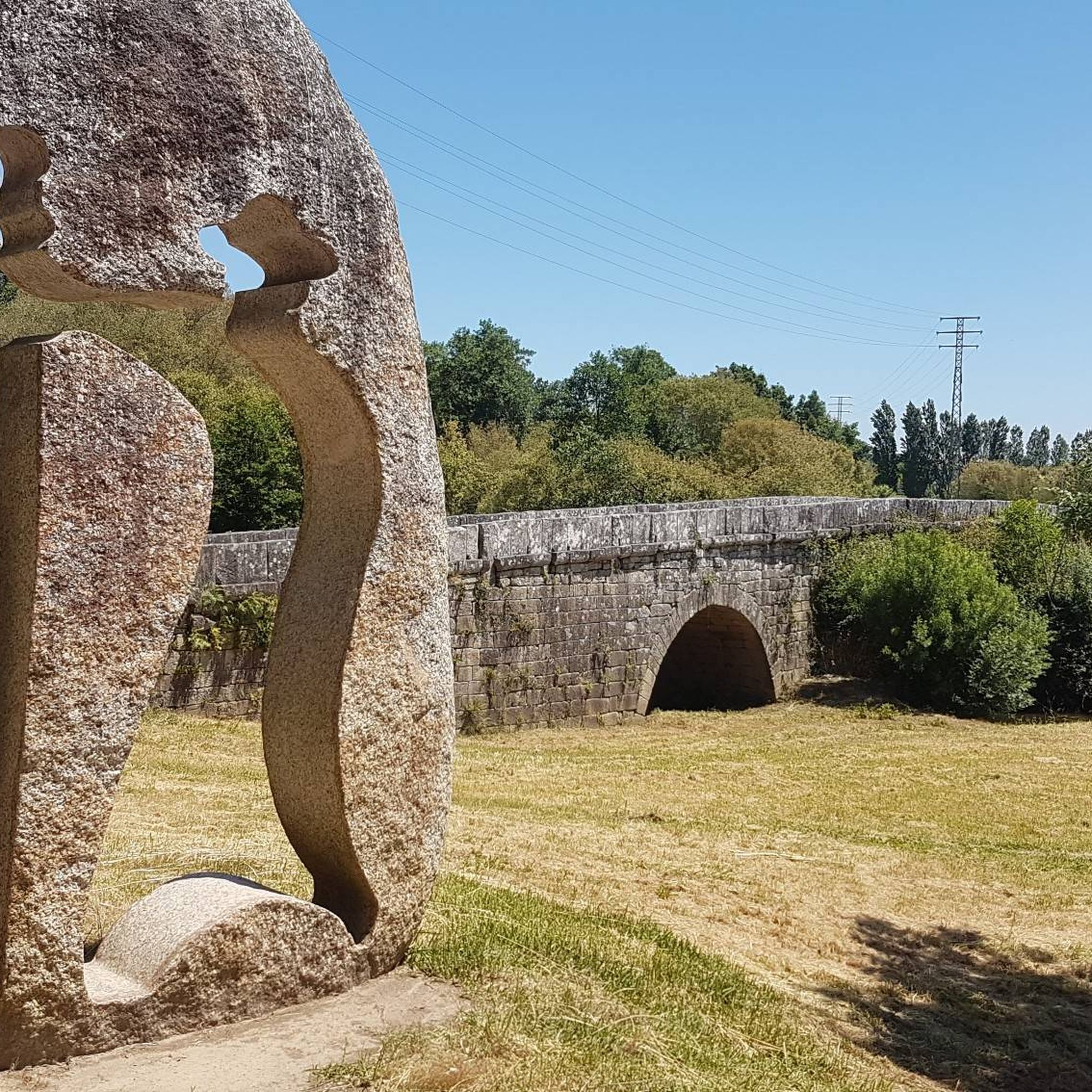
For those of us who are older, it reminds us of what it was like to cross from one country to another, when you might randomly have to open the trunk of your car so that both police forces could check what you were carrying, so that younger people could get their documents, and above all so that everyone can see how beautiful and enriching it is to be able to live in peace between neighboring countries.
0
0

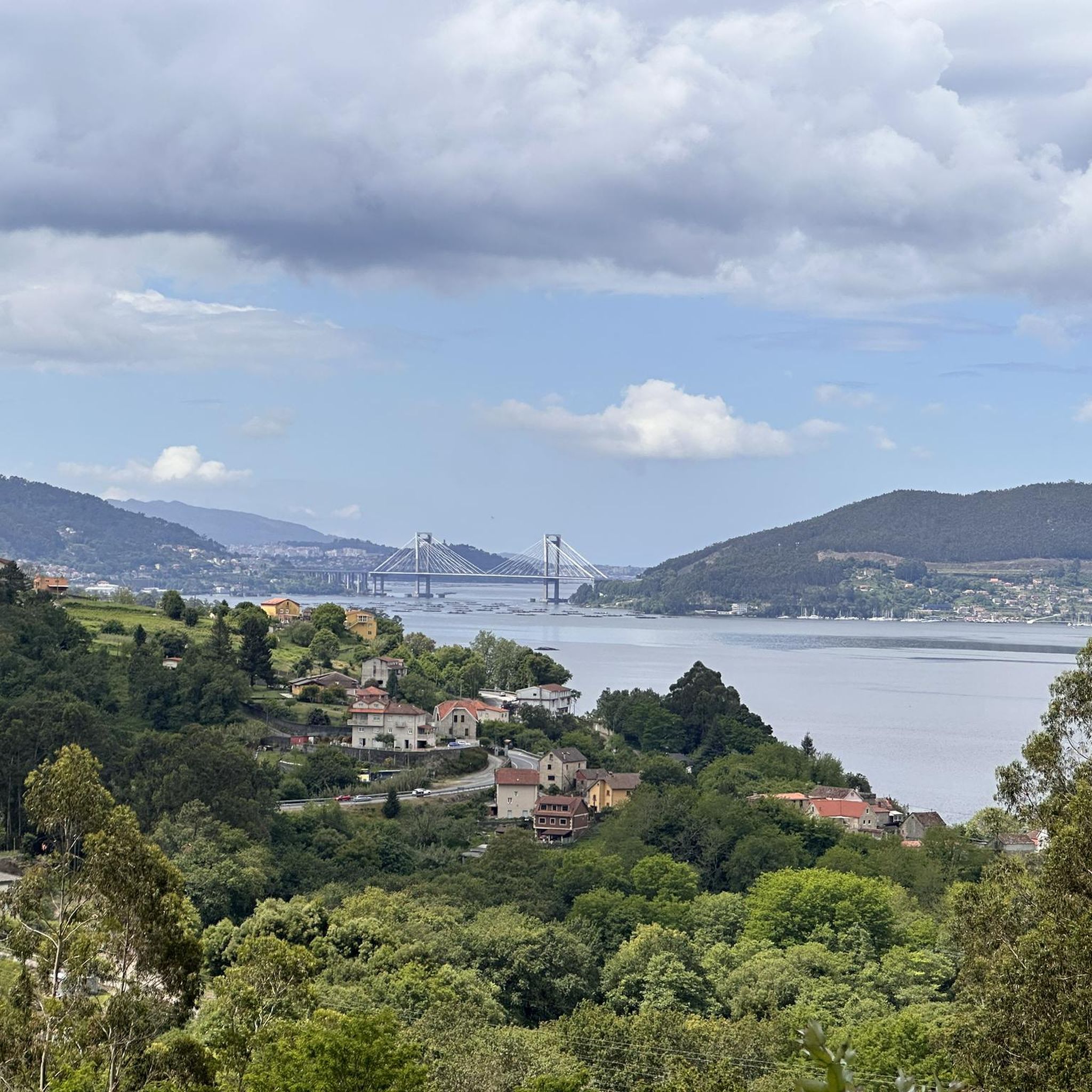
The Tui International Bridge is a landmark on the border between Portugal and Spain, connecting the Galician city of Tui to Valença, Portugal, across the Minho River. This historic metal truss bridge serves as a crossing for cars, trains, and pedestrians. It is also part of the Camino de Santiago route, offering views of the river and both cities.
1
0

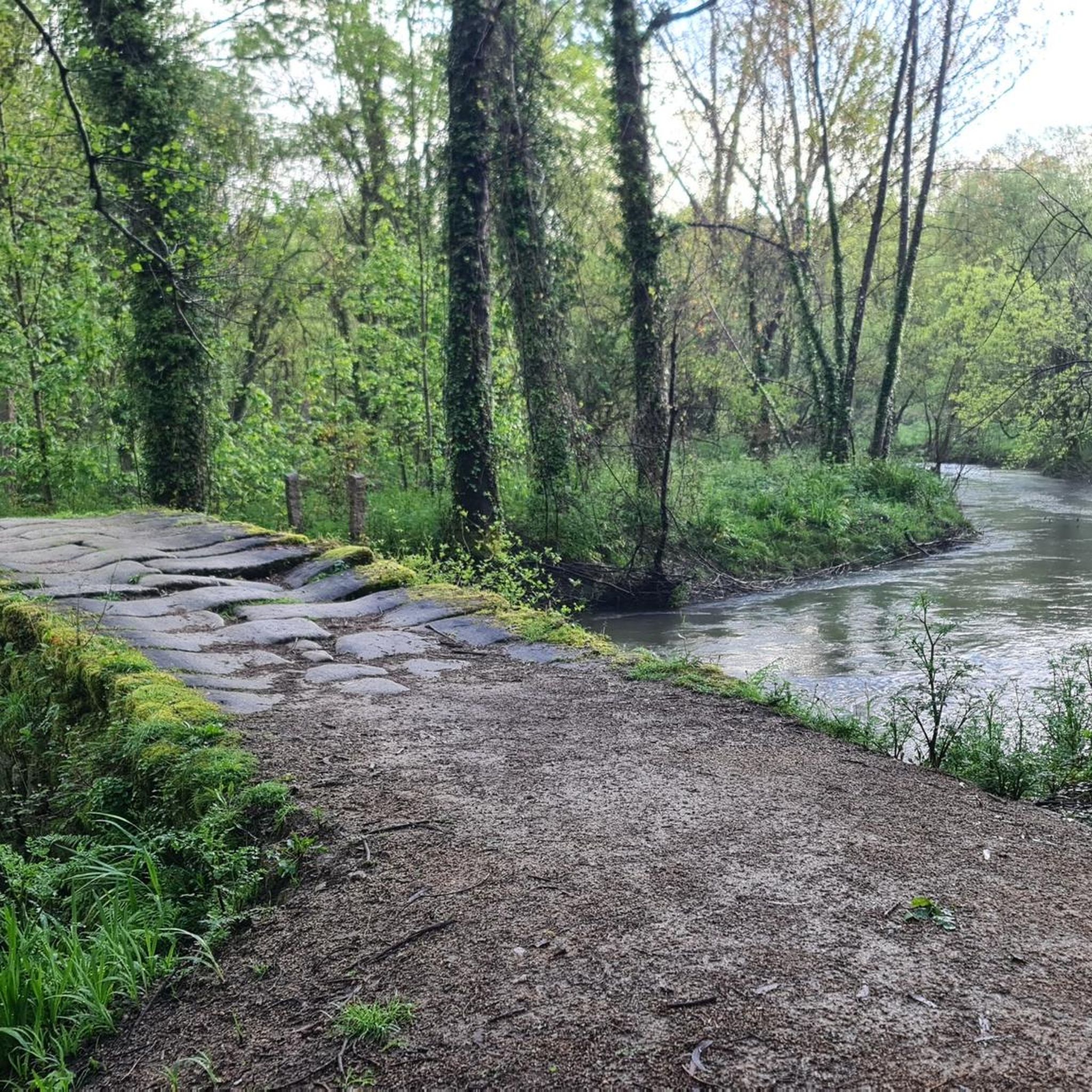
The Louro River Trail is a very popular hiking route in Galicia, especially in the municipalities of Porriño and Mos. This trail follows the course of the Louro River and has been equipped with dirt roads, bridges, walkways and rest areas.😎🚶♀️
7
0
If you decide to explore this route, you will be surrounded by nature and stunning views. Enjoy your hike! 🏞️🚶♂️🥾🚵🌞
6
0
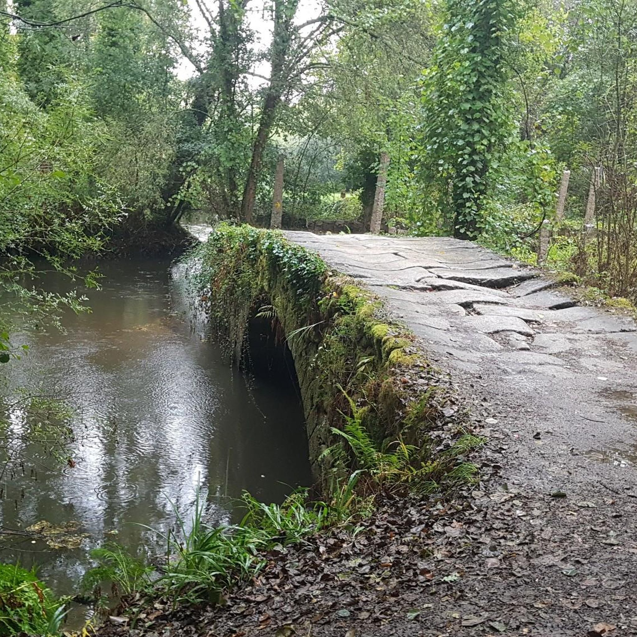
Path that crosses the Louro River, with a splendid environment. 🌞🚶😎
9
0
Beautiful environment just 500 meters from Orbenlle. 😊🚶🌞
9
0
Pilgrims walking the Portuguese Way to Santiago de Compostela pass this bridge, making it a place of great historical significance. If you ever visit Tui, don't miss the opportunity to cross this beautiful bridge and immerse yourself in its history and charm. 🌉🚶♂️
2
0

With my bike loaded… I had to push a little 😩
0
0
Frequently Asked Questions
How many running routes are available around O Porriño?
There are over 45 running routes documented around O Porriño on komoot, offering a wide variety of options for different fitness levels and preferences.
What are the difficulty levels of the jogging trails in O Porriño?
The running trails in O Porriño primarily range from moderate to difficult. While there are no routes classified as easy, 40 are moderate and 9 are considered difficult, providing options for those looking for a challenge or a steady workout.
Are there any long-distance running options in the O Porriño area?
Yes, for long-distance runners, the area offers challenging routes like the Roman Bridge of Orbenlle – Ponte da Veiga loop from O Porriño. This difficult trail spans over 60 kilometers (37 miles) and features significant elevation changes, making it ideal for endurance training.
Can I find circular running routes in O Porriño?
Absolutely. Many routes in the region are circular, allowing you to start and finish at the same point. A popular option is the Running loop from O Porriño, which is a moderate 9.3 km (5.7 miles) trail that takes you through local green spaces and urban areas.
What kind of natural features or landscapes can I expect to see while running in O Porriño?
O Porriño offers diverse landscapes for runners. You'll find scenic paths along the Louro River and through the Louriña Valley. The region also features natural marshy areas like As Gándaras de Budiño, part of the European Natura 2000 Network, which provides a rich ecosystem and beautiful, unspoiled scenery. The surrounding granite hills also contribute to a unique geological backdrop.
Are there any notable landmarks or viewpoints along the running paths?
Yes, the region offers several points of interest. For panoramic views, consider routes that lead towards Monte Aloia. While the Monte Aloia Summit View – San Ciao Viewpoint loop from Tui is a challenging route, it rewards runners with extensive vistas. You can also explore historical sites like the Fortress of Valença or the Salvaterra de Miño Fortress, which are nearby attractions that could be incorporated into longer running excursions.
What do other runners enjoy most about the trails in O Porriño?
The running routes in O Porriño are highly regarded by the komoot community, with an average rating of 4.6 stars from over 25 reviews. Runners often praise the varied terrain, from scenic river paths to more challenging hilly sections, and the opportunity to explore both natural beauty and well-maintained recreational areas.
Are there any family-friendly running routes in O Porriño?
While specific 'easy' routes are not highlighted, the municipality is actively developing urban green spaces and pedestrian areas. These areas, such as the Parque las Gándaras Recreational Area, offer gentler, more accessible paths that can be suitable for families looking for a lighter jog or a walk with children.
Is it possible to reach running routes in O Porriño using public transport?
O Porriño is a well-connected town. Many routes, especially those starting directly from the town center, are easily accessible by public transport. The town's pedestrianized areas and green corridors also make it convenient to start your run directly from within the urban environment.
Where can I park my car when accessing running trails in O Porriño?
For routes starting within O Porriño itself, you can typically find parking in and around the town center or near public recreational areas. For trails further afield, it's advisable to check the specific route details on komoot for recommended parking spots, which are often indicated by other users.
What is the best time of year to go jogging in O Porriño?
O Porriño offers good running conditions throughout much of the year. The spring and autumn months generally provide pleasant temperatures for outdoor activities. Even in summer, the scenic river paths along the Louro River can offer cooler, shaded sections. Winter running is also possible, though you might encounter cooler, wetter conditions.
Are there any running routes that follow the Camino de Santiago in O Porriño?
Yes, O Porriño is an important stop on the Portuguese Way to Santiago de Compostela. An alternative, more pleasant path of the Camino specifically follows the Louro River, allowing runners to experience a historical route while enjoying the natural beauty away from industrial zones and asphalt.
Most popular attractions around O Porriño

Get inspired with the komoot mobile app


Explore more
Browse the best Running Trails & Routes in other regions.
