The best mountain hikes around Vega De San Mateo
5.0
(21)
123
hikers
12
hikes
Mountaineering routes around Vega De San Mateo are situated in the mountainous heart of Gran Canaria, characterized by its volcanic origin. The region features a rugged landscape of cliffs, crests, and canyons, with elevations reaching up to 800 meters. Canarian pine forests are prevalent, offering varied terrain for mountaineering activities.
Best mountaineering routes around Vega De San Mateo
- The most popular mountaineering route is Roque Nublo – View of Roque Nublo loop from Gran Canaria, a 2.0 miles (3.2…
Last updated: October 18, 2026
5.0
(6)
44
hikers
3.23km
01:09
160m
160m
Moderate mountaineering route. Great for any fitness level. Mostly accessible paths. Sure-footedness required.
5.0
(3)
10
hikers
10.2km
03:24
500m
500m
Moderate mountaineering route. Good fitness required. Mostly accessible paths. Sure-footedness required.

5.0
(2)
10
hikers
5.98km
01:53
230m
230m
Moderate mountaineering route. Great for any fitness level. Mostly accessible paths. Sure-footedness required.
5.0
(2)
10
hikers
14.4km
04:25
500m
490m
Moderate mountaineering route. Good fitness required. Easily-accessible paths. Suitable for all skill levels.
5.0
(3)
13
hikers
6.96km
02:38
410m
410m
Moderate mountaineering route. Good fitness required. Mostly accessible paths. Sure-footedness required.
Get access to more routes and recommendations from other explorers.
Already have an account?
Our route recommendations are based on thousands of hikes, rides, and runs completed by other people on komoot.
Start today with a free account
Your next adventure awaits.


Tips from the Community

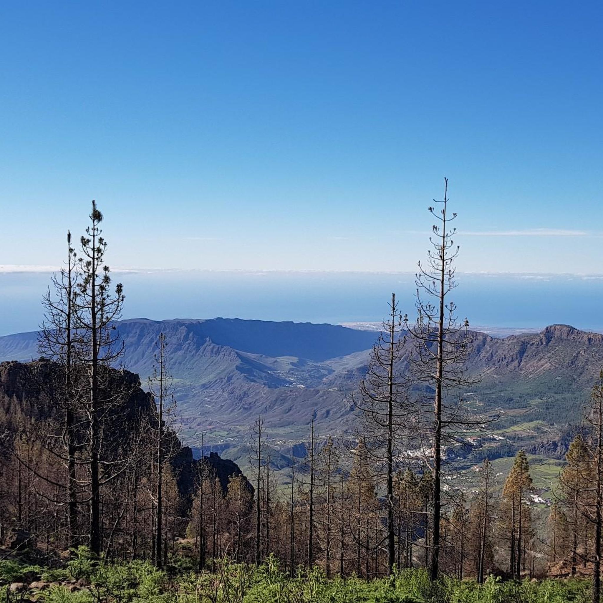
Located in the heart of Gran Canaria, La Culata is part of the municipality of Tejeda. It is made up of traditional houses built on the cliff face from which it gets its name. From the heights of the village, you can see the distribution of the houses and the terraced crops that adapt to the hills.
0
0
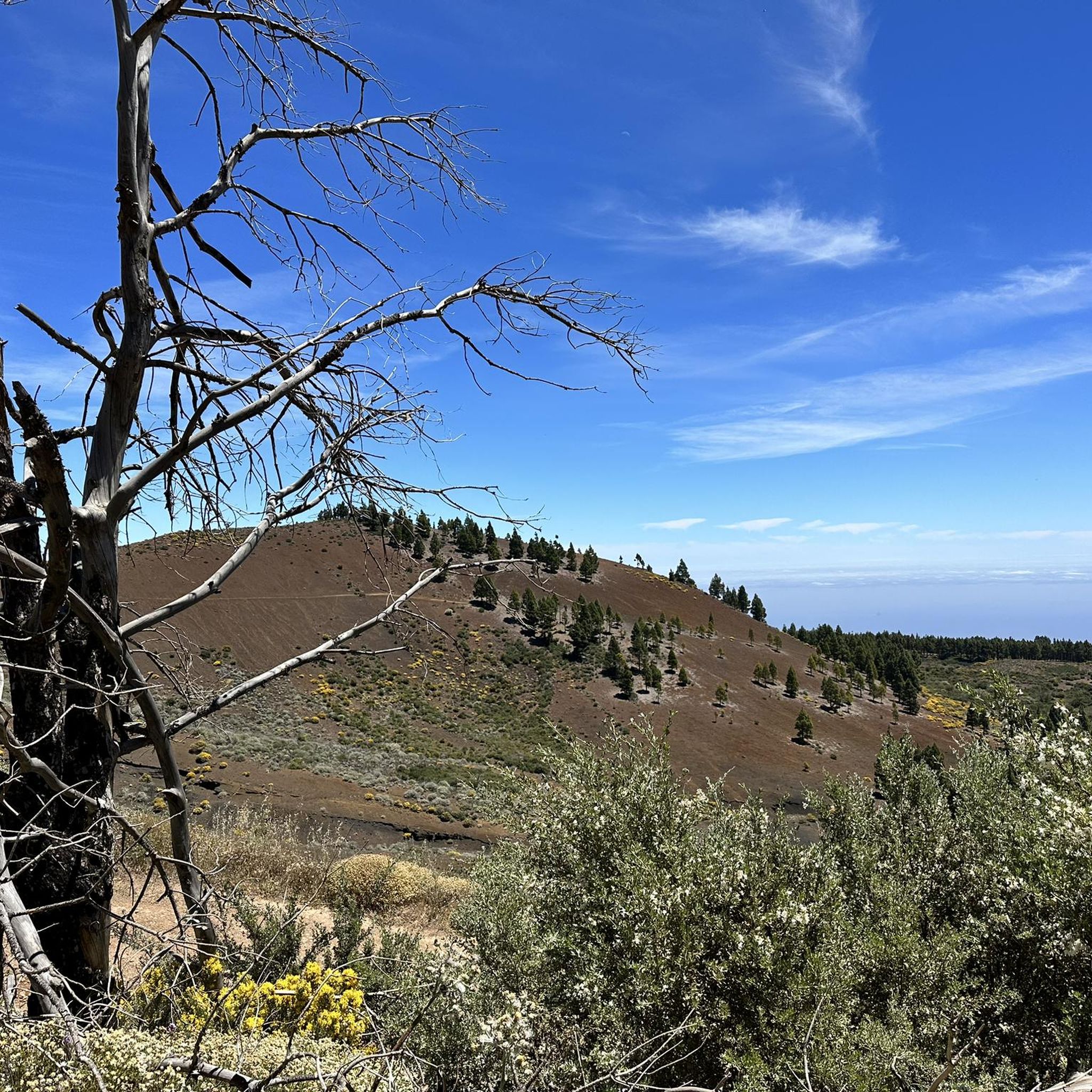
In a magnificent location in the middle of pine forests, you can choose here to take the upper or lower hiking trail to climb to Pico de las Nieves.
0
0

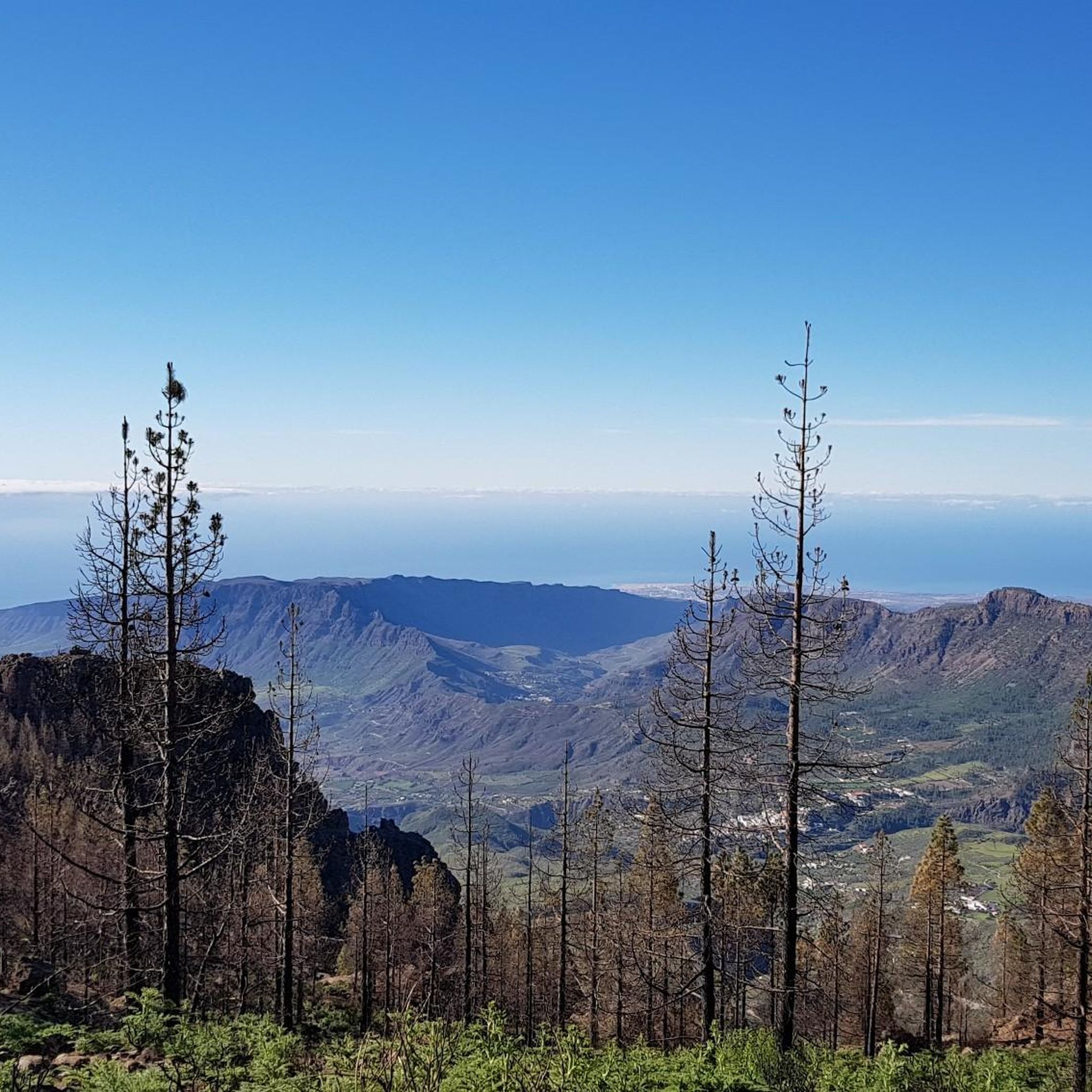
From here you have a wonderful view.
1
0
Beautiful view of the island's highest mountain.
0
0

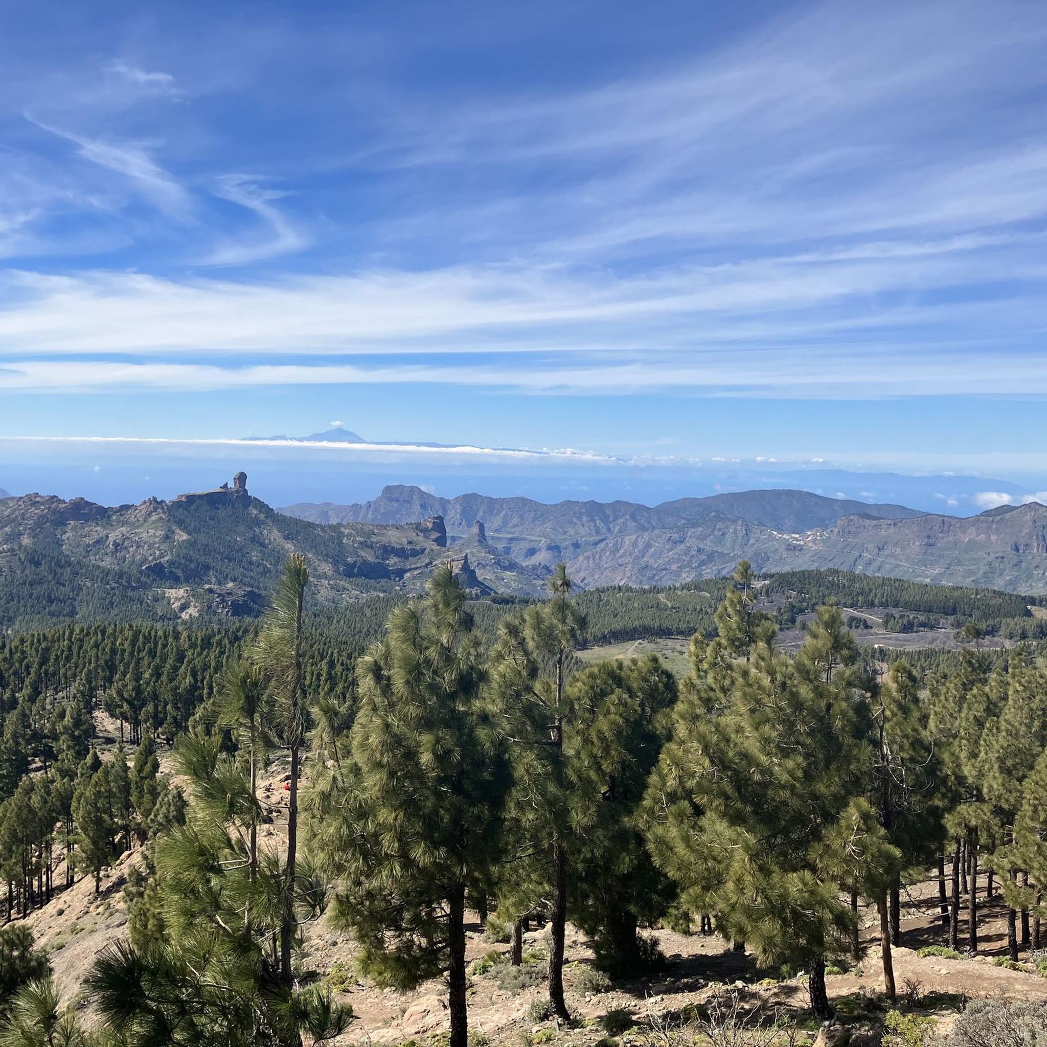
From here we have a beautiful view of the Roque Nublo.
1
0


Ascent to the Roque Nublo Plateau Roque Nublo is one of Gran Canaria's most significant natural monuments. A giant that rises to an altitude of approximately 1,800 meters in the center of the island, within a natural landscape protected by a biosphere reserve. This impressive rock monolith—a symbol of Gran Canaria—rises 80 meters from the plateau and offers a uniquely expansive panoramic view; only a few mountains on the island can match it. On clear days, the neighboring volcano, the famous Teide, is clearly visible.
1
0
Frequently Asked Questions
What kind of terrain can I expect on mountaineering routes around Vega de San Mateo?
The mountaineering routes in Vega de San Mateo are characterized by Gran Canaria's volcanic origin, featuring a rugged landscape of cliffs, crests, and canyons. You'll encounter varied terrain, including Canarian pine forests and significant elevation changes, with the region itself situated at an altitude of 800 meters.
Are there any easy mountaineering routes suitable for beginners?
While most routes are moderate to difficult, some sections around iconic landmarks like Roque Nublo are considered more accessible. For instance, the Roque Nublo – View of Roque Nublo loop from Gran Canaria is a shorter, moderate route that offers stunning views of the volcanic rock formation, making it a good starting point to experience the area's unique landscape.
What are the typical durations and distances for mountaineering routes in this area?
Mountaineering routes around Vega de San Mateo vary in length and duration. You can find shorter loops, such as the Roque Nublo – View of Roque Nublo loop from Gran Canaria, which is about 3.2 km and takes just over an hour. Longer routes, like the La Culata Church – La Culata village loop from Tejeda, can extend to over 10 km and take more than three hours to complete, offering more extensive exploration of the mountainous interior.
Are there any circular mountaineering routes available?
Yes, many of the mountaineering routes in the area are designed as loops, allowing you to start and end in the same location. Examples include the View of Roque Nublo – Roque Nublo Cave loop from Gran Canaria, which explores the area around Roque Nublo, and the Pico de las Nieves – View of Roque Nublo loop from Pico de las Nieves, offering panoramic views from the island's highest point.
What notable landmarks or natural features can I see along the routes?
The routes offer access to several iconic natural features. You can experience the majestic Roque Nublo, an 80-meter-high volcanic rock formation, or reach the Pico de las Nieves summit, the highest point on Gran Canaria, providing breathtaking panoramic views. Other significant sights include Roque Bentayga and various dams like Los Hornos Dam and Chira Dam.
Are there any waterfalls or bodies of water to discover?
Yes, the region's ravines, such as Barranco de la Mina and Barranco del Agua, are known for their lush vegetation and, after rainfall, small waterfalls. You might encounter features like El Charco de la Paloma, which is listed as a waterfall, or the serene waters of Presa de Las Niñas.
What do other mountaineers say about the routes in Vega de San Mateo?
The mountaineering routes in Vega de San Mateo are highly regarded by the komoot community, holding an impressive average rating of 4.8 stars from over 20 reviews. Users frequently praise the diverse volcanic landscapes, the challenging yet rewarding ascents, and the stunning panoramic views from the island's peaks.
What is the best time of year for mountaineering in Vega de San Mateo?
Vega de San Mateo, situated at 800 meters altitude, offers cooler temperatures than coastal areas, making it suitable for mountaineering year-round. However, the spring and autumn months generally provide the most pleasant weather conditions for strenuous outdoor activities, with less heat and stable conditions. Always check local forecasts, especially for higher elevations.
Are there options for more challenging mountaineering experiences?
Absolutely. While there are moderate options, the region is well-known for its more challenging routes. Nearly two-thirds of the mountaineering tours here are rated as difficult, featuring significant elevation gains and rugged volcanic terrain. These routes provide a true test for experienced mountaineers looking for demanding ascents and descents.
Is public transport available to reach the trailheads?
Vega de San Mateo is a central hub in the mountainous interior of Gran Canaria. While specific public transport details to every trailhead are not provided, the town itself is accessible. It's advisable to research local bus routes (guaguas) from major towns like Las Palmas to Vega de San Mateo, and then consider local taxis or carpooling for reaching more remote starting points.
Are there any specific permits required for mountaineering in the Protected Mountain Peak Area?
Nearly half of Vega de San Mateo's land falls within the Protected Mountain Peak Area (Espacio Protegido de las Cumbres). While general hiking on marked trails typically doesn't require permits, specific activities like rock climbing on certain formations (e.g., Roque Nublo) might. It's always recommended to check with local authorities or park information centers for the most current regulations regarding permits for specific activities or sensitive areas.
Can I find places to eat or stay near the mountaineering routes?
Vega de San Mateo is a town with amenities, including cafes, restaurants, and accommodation options. Its central location makes it a convenient base for exploring the surrounding mountains. After a day on the trails, you can find places to relax and refuel in the town center, which also hosts the Roque Saucillo astronomy center.
Most popular routes around Vega De San Mateo
Most popular attractions around Vega De San Mateo

Get inspired with the komoot mobile app


Explore more
Browse the best Mountain Hikes & Routes in other regions.
