The best walks and hikes around Calvos De Randín
4.4
(38)
205
hikers
11
hikes
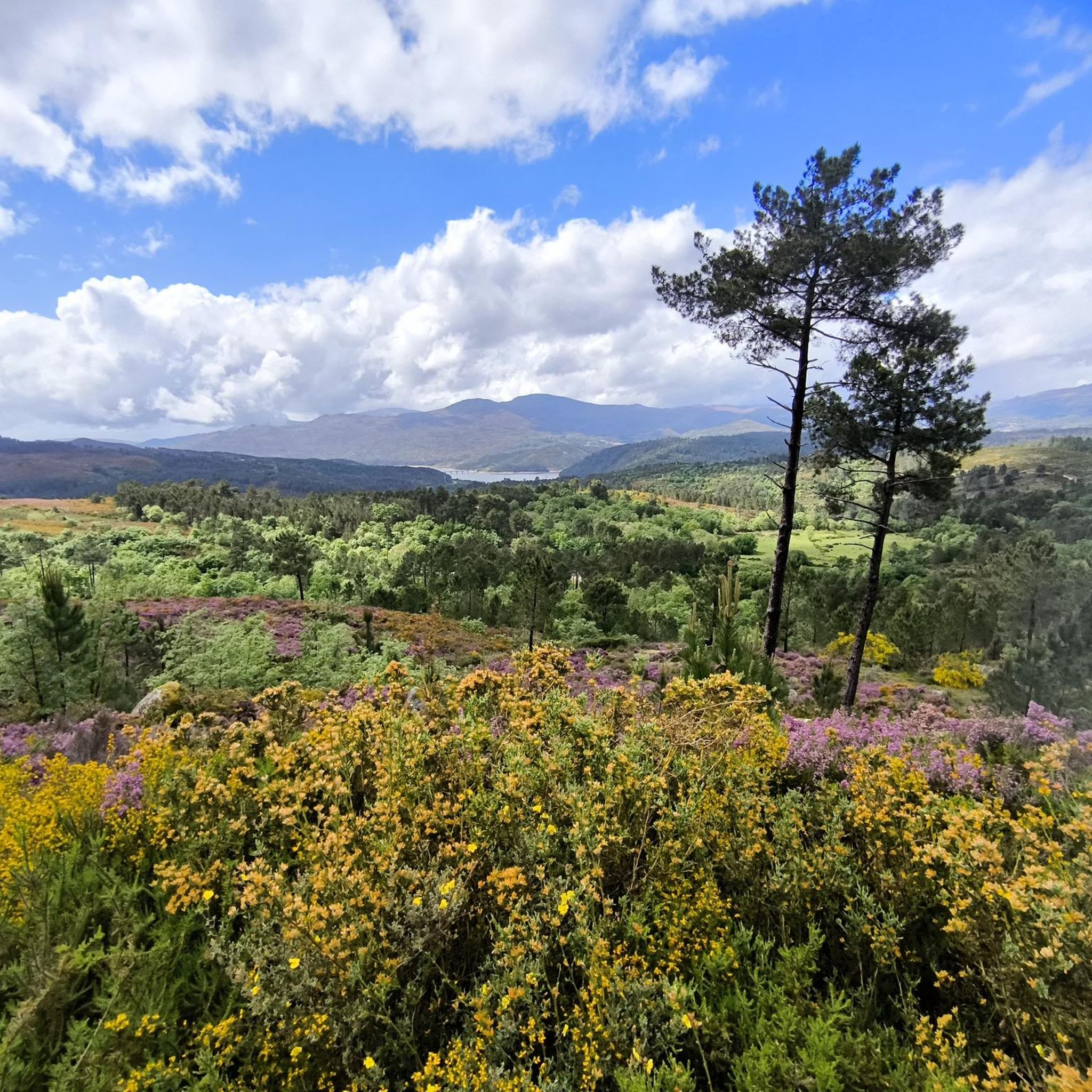
Hiking around Calvos De Randín offers routes through a landscape characterized by rolling hills, natural water features like waterfalls and dams, and historical sites such as ancient dolmens. The region provides a mix of open terrain and paths that traverse varied elevations. These hiking routes in Calvos De Randín allow for exploration of both natural and cultural points of interest.
Best hiking trails around Calvos De Randín
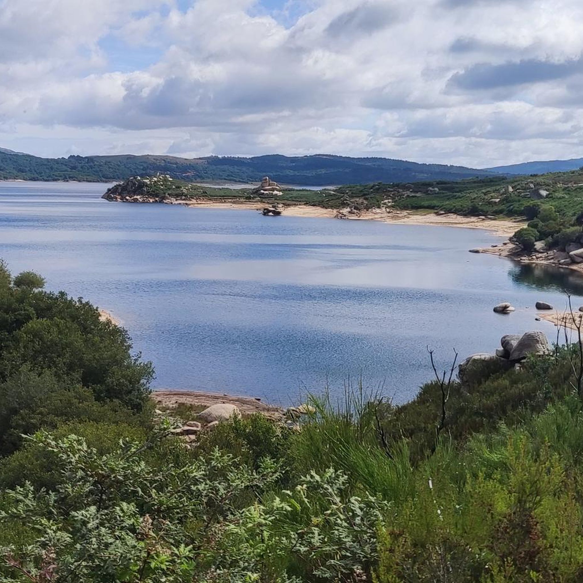
- The most popular hiking route is As Mice by the Moorish Cottage – Salas Dam, a 8.6 miles (13.9 km) trail that takes 3 hours 49 minutes to complete. This route features a dam and a moorish cottage.
- Another top favourite among local hikers is Parking lot – View of Pitões Waterfall loop from Pitões das Junias, an easy 3.0 miles (4.9 km) path. This trail offers views of Pitões Waterfall.
- Local hikers also love the Hiking loop from Pitões das Junias, a 5.3 miles (8.5 km) trail leading through the area around Pitões das Junias, often completed in about 2 hours 57 minutes.
- Hiking around Calvos De Randín is defined by waterfalls, dams, and ancient dolmens. The network offers options for both easy and moderate ability levels.
- The routes in Calvos De Randín are highly rated by the komoot community with an average score of 4.3 stars from over 30 reviews. More than 200 hikers have used komoot to explore Calvos De Randín's varied terrain.
Last updated: July 4, 2026
2
hikers
13.9km
03:50
230m
230m
Moderate hike. Good fitness required. Easily-accessible paths. Suitable for all skill levels.
4.8
(16)
98
hikers
4.87km
01:33
200m
200m
Easy hike. Great for any fitness level. Easily-accessible paths. Suitable for all skill levels.

Sign up for free
4.9
(10)
34
hikers
8.53km
02:57
460m
460m
Moderate hike. Good fitness required. Easily-accessible paths. Suitable for all skill levels.
5.0
(1)
7
hikers
12.8km
03:26
160m
160m
Moderate hike. Good fitness required. Easily-accessible paths. Suitable for all skill levels.
5.0
(3)
16
hikers
15.1km
04:39
550m
550m
Moderate hike. Good fitness required. Easily-accessible paths. Suitable for all skill levels.
Get access to more routes and recommendations from other explorers.
Sign up for free
Already have an account?
Our route recommendations are based on thousands of hikes, rides, and runs completed by other people on komoot.
Start today with a free account
Your next adventure awaits.
Login or Signup
Popular around Calvos De Randín
Tips from the Community


Somewhat remote parking lot without shade.
1
0
This type of pit consists of an enclosure surrounded by a stone wall, inside which a live animal was left to attract the wolf. In this case, the loose stone wall was built around a boulder located in a highly visible location (Portela da Fairra), where a live goat was placed.
0
0
The Monastery of Santa Maria das Júnias is a ruined monastery, of which the church remains, located on the outskirts of Pitões das Júnias. The last Cistercian monk became the parish priest of the village of Pitões das Júnias in 1834, the date of the abolition of religious orders in Portugal. As a historical curiosity, it is worth noting that Dom Pedro de Pitões, one of the main drivers of the conquest of Lisbon from the Moors in 1147, was ordained bishop of Porto at this monastery.
0
0
There is a beautiful landscape nearby to enjoy.
0
0

This wolf den, one of the largest of its kind on the Iberian Peninsula, is believed to have been built in the 18th century and used regularly until the 1930s. A small ladder provides access.
0
0

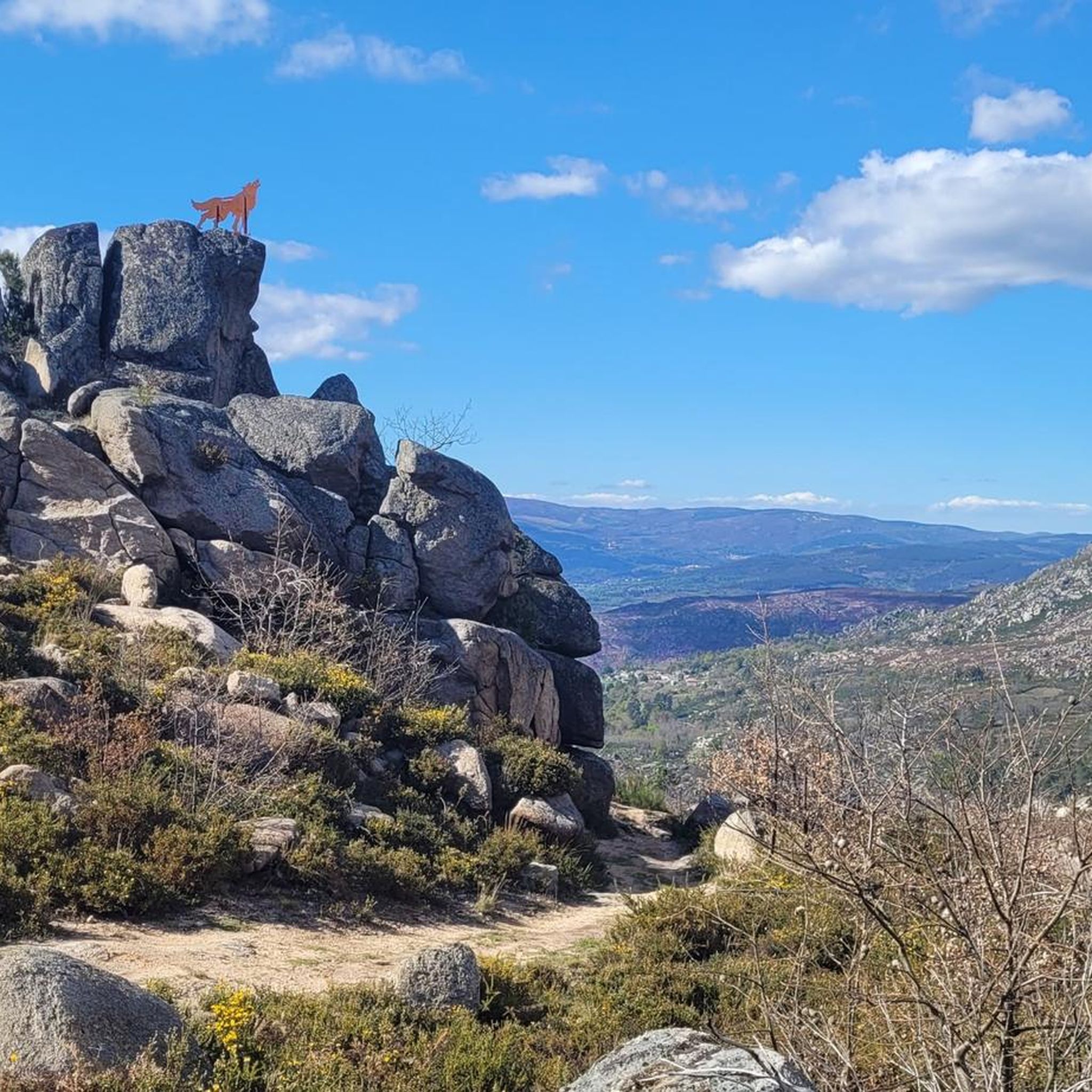
Formerly a facility for wolf hunting, today wolves are protected
0
0

Hidden in the heights of Pitões das Júnias, the ancient monastery of Santa Maria carries centuries of history in the stones that support it. It is believed that its origins date back to the 9th century, in the middle of the Reconquista era, before Portugal was born as a kingdom. Officially, however, it was founded in the 12th century under the auspices of the Benedictines, and later embraced the austerity of the Cistercian reform. Today, among the silent ruins, the modest side portico of the church and the delicate arcades of the cloister remain.
1
1
Frequently Asked Questions
How many hiking trails are available in Calvos De Randín?
Calvos De Randín offers a selection of 12 hiking routes. These trails are generally categorized as easy or moderate, providing options for various skill levels.
What kind of landscape can I expect when hiking in Calvos De Randín?
The landscape around Calvos De Randín is characterized by rolling hills, natural water features such as waterfalls and dams, and historical sites like ancient dolmens. You will find a mix of open terrain and paths with varied elevations.
Are there easy hiking options suitable for beginners in Calvos De Randín?
Yes, there are 6 easy hiking routes in Calvos De Randín. An excellent option for beginners is the Parking lot – View of Pitões Waterfall loop from Pitões das Junias, which is 3.0 miles (4.9 km) long and offers views of the Pitões Waterfall.
Are there any challenging hikes in Calvos De Randín for experienced hikers?
While Calvos De Randín offers a good selection of easy and moderate trails, there are no routes specifically classified as 'difficult' in this guide. The most challenging options are moderate, often featuring longer distances or more significant elevation changes.
Can I find longer distance trails in the Calvos De Randín area?
Yes, for those seeking longer routes, trails like View of Pitões Waterfall – Campesinho Stream loop from Pitões das Junias cover about 9.4 miles (15.1 km). Another option is As Mice by the Moorish Cottage – Salas Dam, which is 8.6 miles (13.9 km).
Are there any hikes that feature waterfalls in Calvos De Randín?
Yes, the region is known for its natural water features. You can experience waterfalls on routes such as the Parking lot – View of Pitões Waterfall loop from Pitões das Junias or the longer View of Pitões Waterfall – Campesinho Stream loop from Pitões das Junias.
Are there circular hiking routes in Calvos De Randín?
Many of the trails in Calvos De Randín are designed as loops, allowing you to start and end at the same point. Examples include the Hiking loop from Pitões das Junias and the Dolmen Casota do Foxo – Dolmen of Casola do Foxo loop from As Maus.
What historical sites or landmarks can I see on hikes in Calvos De Randín?
The region is home to ancient dolmens, which are prehistoric megalithic tombs. You can explore these on routes like the Dolmen Casota do Foxo – Dolmen of Casola do Foxo loop from As Maus. Some trails also feature structures like the Moorish Cottage near Salas Dam.
Is Calvos De Randín a good destination for family-friendly hikes?
With 6 easy routes available, Calvos De Randín offers several suitable options for families. These shorter, less strenuous paths often feature interesting natural sights like waterfalls, making them engaging for children.
What is the best time of year to hike in Calvos De Randín?
The best time to hike in Calvos De Randín is generally during spring, summer, and early autumn when the weather is mild and the natural landscape is vibrant. Winter hiking is possible, but some paths might be wet or muddy, and temperatures will be cooler.
What do other hikers enjoy the most about hiking in Calvos De Randín?
The area is highly rated by the komoot community, with an average score of 4.3 stars from over 30 reviews. Hikers often praise the diverse landscape, including the waterfalls and historical dolmens, and the variety of easy to moderate trails.
Are there any specific trails that offer great viewpoints in Calvos De Randín?
Many trails in the region provide scenic views, particularly those that traverse rolling hills or lead to elevated points. The Parking lot – View of Pitões Waterfall loop from Pitões das Junias is specifically highlighted for its views of the Pitões Waterfall.
Most popular attractions around Calvos De Randín

Get inspired with the komoot mobile app


Explore more
Browse the best Hikes in other regions.
