The best running trails around Canencia
4.5
(10)
831
runners
14
runs
Jogging routes around Canencia are set within the Sierra Norte of Madrid, offering diverse natural landscapes. The region features extensive Scots pine forests, oak groves, and birch woodlands, providing varied terrain and natural shade. Mountain passes like Puerto de Canencia offer access to numerous trails and panoramic views of the Lozoya Valley and Sierra de Guadarrama. The area's combination of forests, streams, and moderate elevation changes makes it suitable for varied running experiences.
Best jogging routes around Canencia
- The most…
Last updated: July 1, 2026
62
runners
18.7km
03:15
890m
890m
Hard run. Very good fitness required. Sure-footedness, sturdy shoes and alpine experience required.
8
runners
10.2km
01:24
350m
350m
Hard run. Very good fitness required. Sure-footedness, sturdy shoes and alpine experience required.

Sign up for free
8
runners
22.2km
02:42
470m
480m
Hard run. Very good fitness required. Sure-footedness, sturdy shoes and alpine experience required.
5
runners
13.3km
01:34
270m
270m
Moderate run. Good fitness required. Mostly paved surfaces. Suitable for all skill levels.
7
runners
16.0km
02:43
710m
710m
Hard run. Very good fitness required. Sure-footedness, sturdy shoes and alpine experience required.
Get access to more routes and recommendations from other explorers.
Sign up for free
Already have an account?
Our route recommendations are based on thousands of hikes, rides, and runs completed by other people on komoot.
Start today with a free account
Your next adventure awaits.
Login or Signup
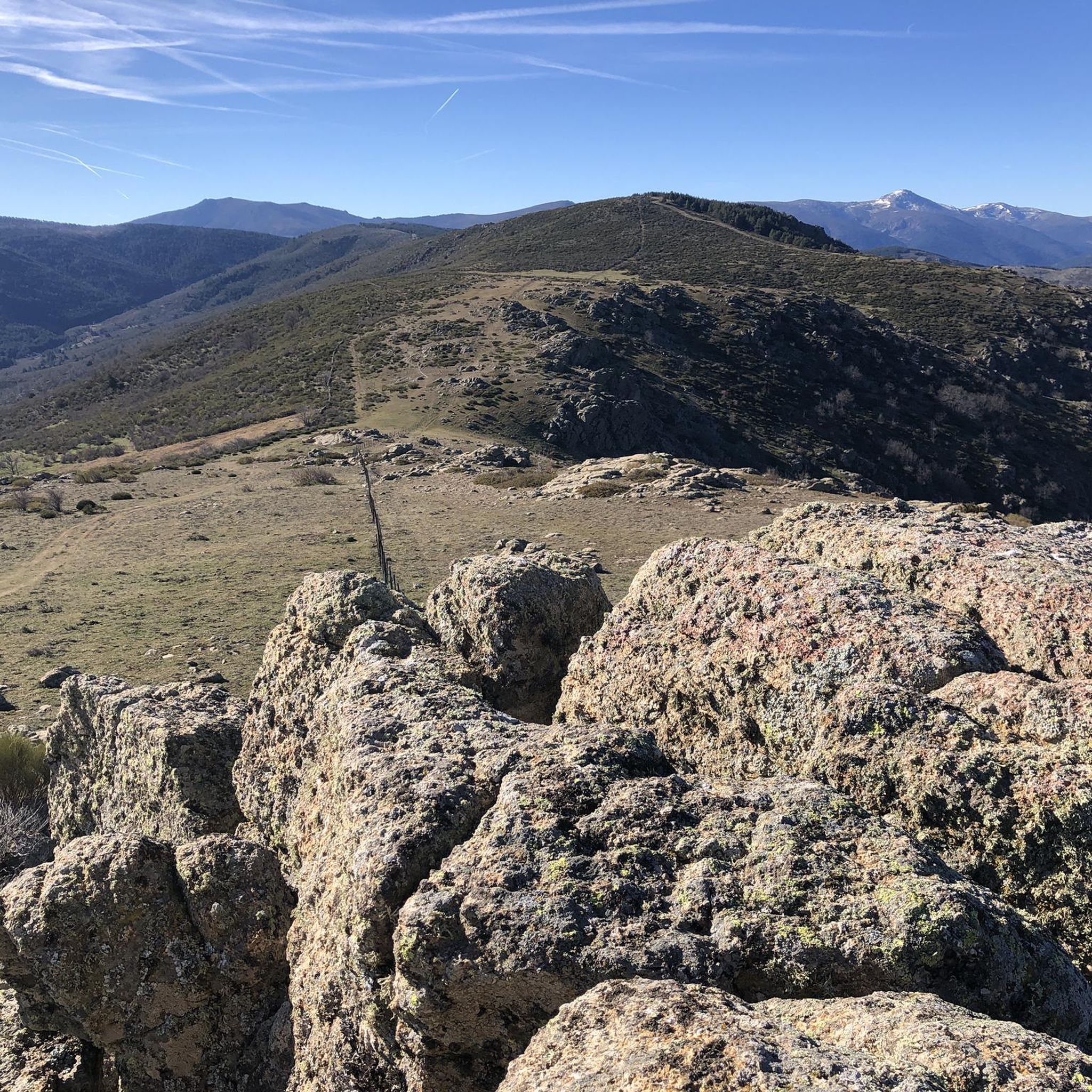
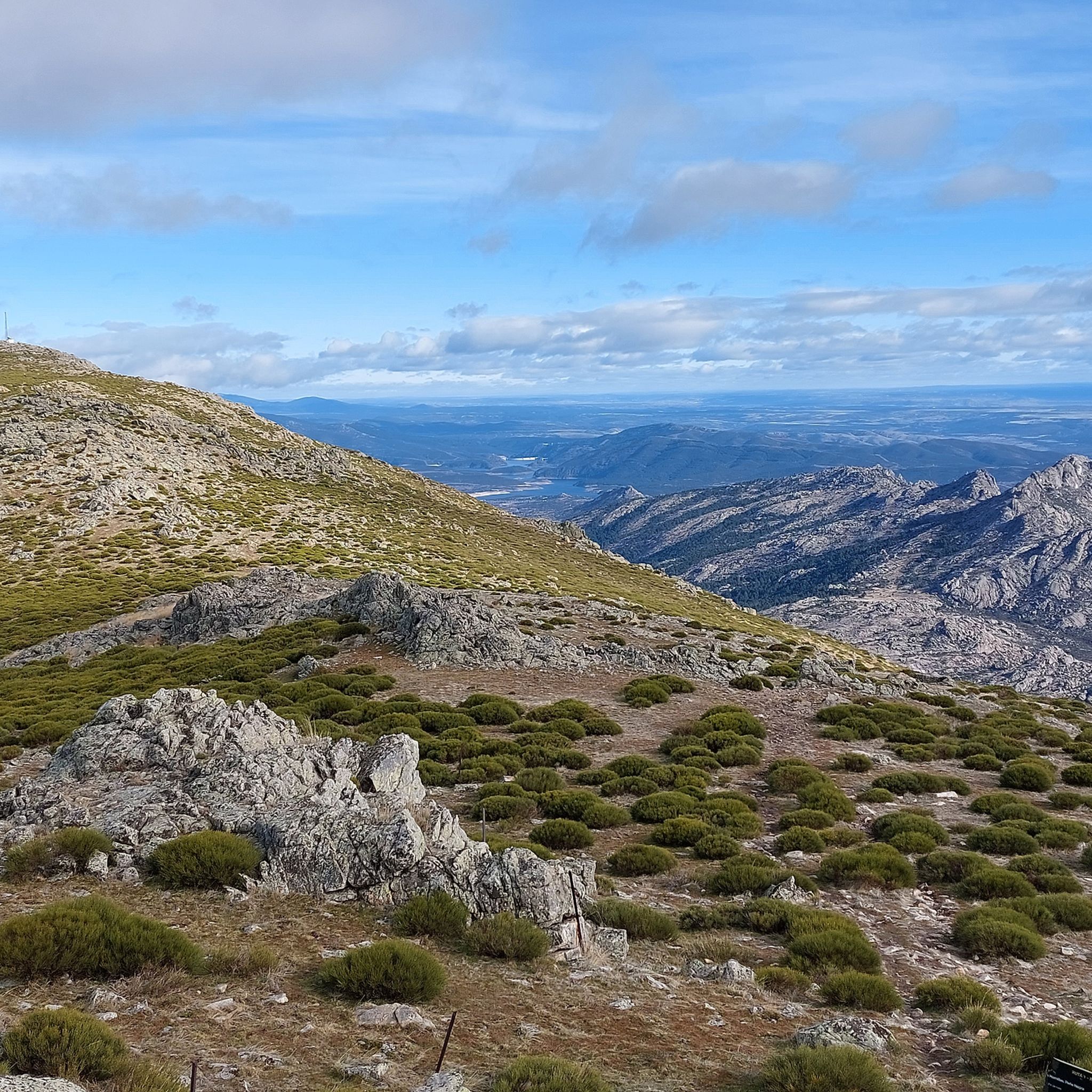
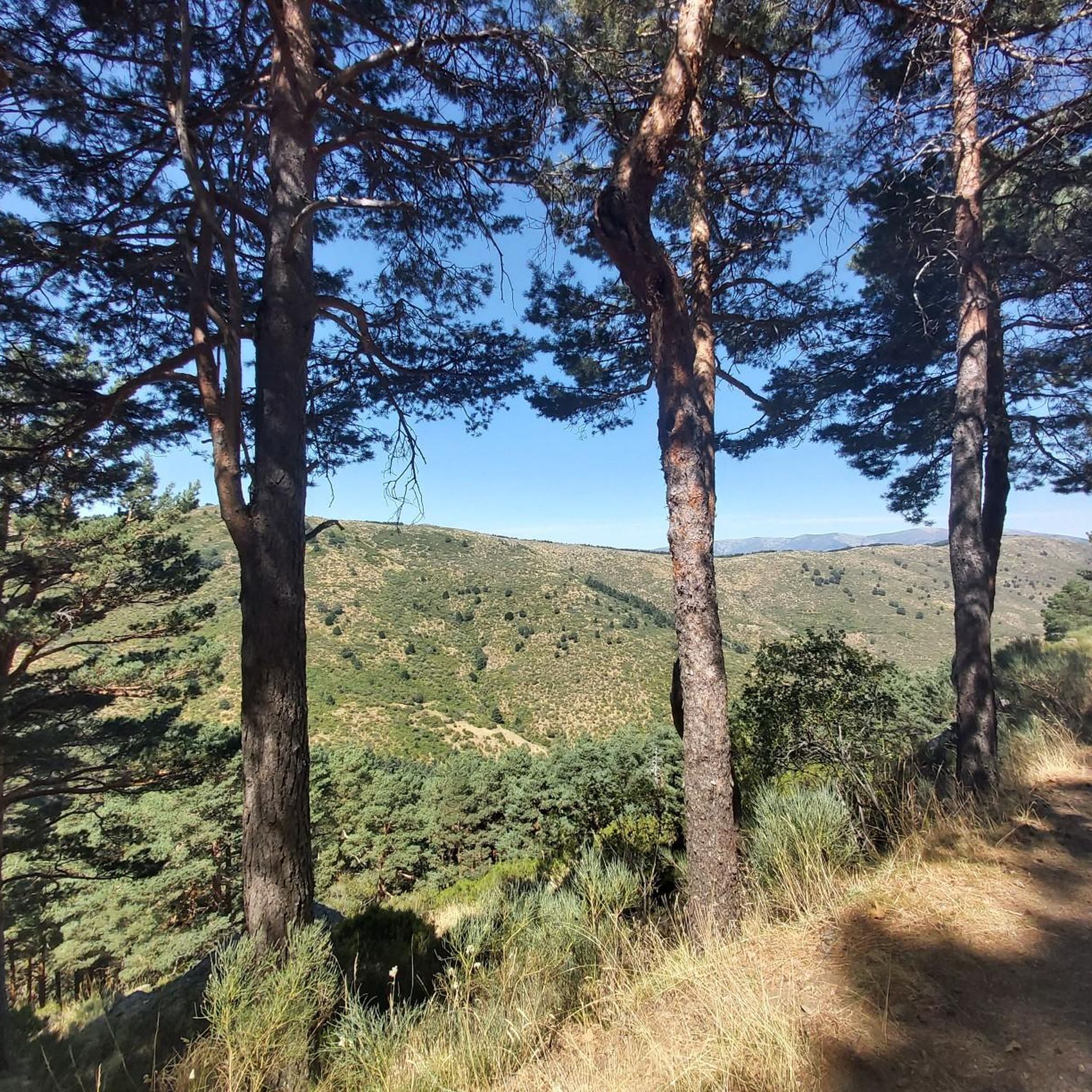
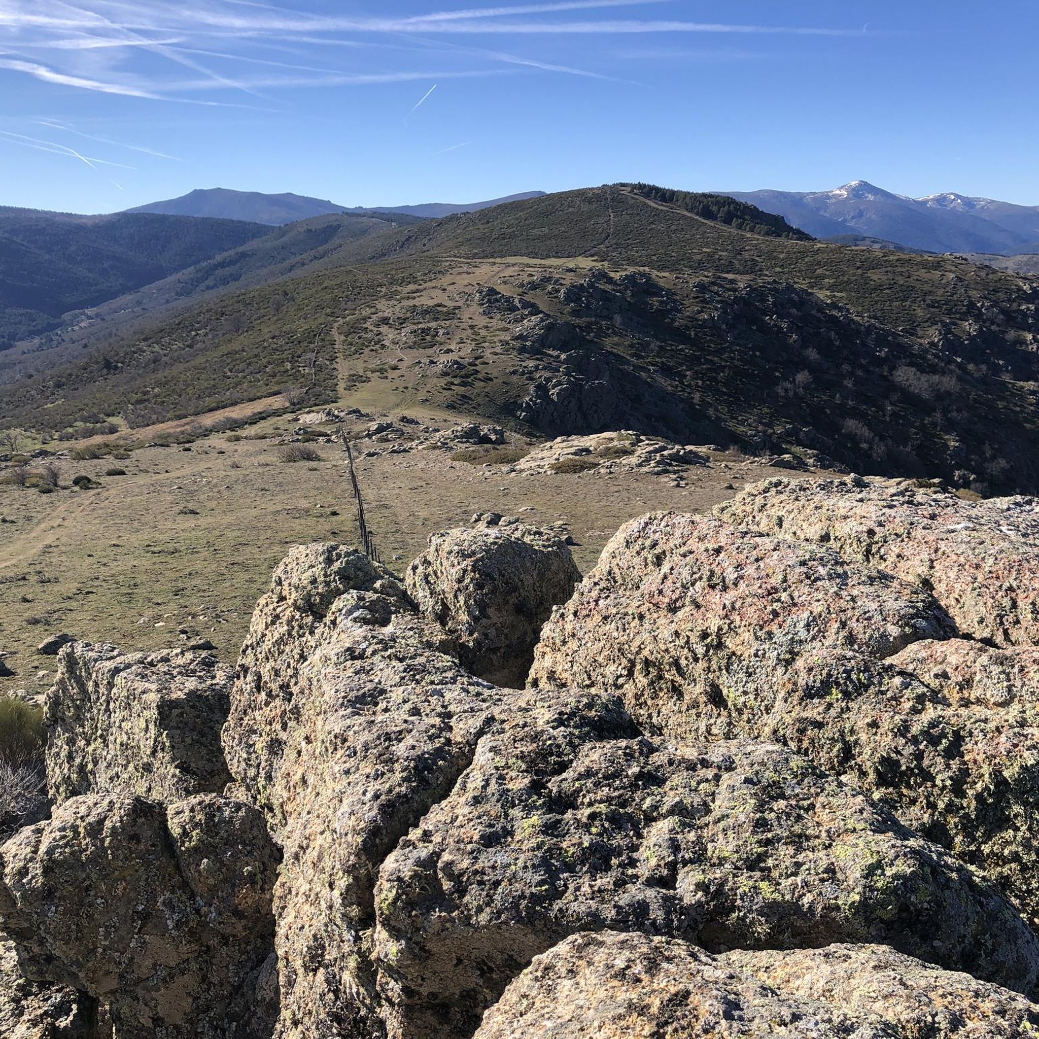

Tips from the Community

The water of the rich of Madrid. Shade and beware of a lot of traffic on weekends
0
0

This large pine forest is located within the municipality of Canencia and is easily accessible via forest tracks from the Canencia Pass, coming from the south (Miraflores de la Sierra and Madrid) or from the north (Canencia in the Lozoya Valley). It can also be reached via a longer approach from the M-611 road through the Collado del Hontanar pass (1,731 m).
1
0
The waterfall is tall and very beautiful; it's best visited after a period of heavy rain or when there's snow in the area. It's located within the municipality of Canencia and is easily accessible via forest tracks from the Canencia Pass, coming from the south (Miraflores de la Sierra and Madrid) or from the north (Canencia in the Lozoya Valley). A longer approach is also possible from the M-611 via the Collado del Hontanar pass (1,731 m). If you approach the waterfall from its eastern side, be very careful of slipping, as it could be fatal. The ground is often wet and even icy in autumn and winter.
0
0

It is located in the Sierra de Guadarrama mountain range, between the municipalities of Miraflores de la Sierra and Rascafría, in the Community of Madrid. From Miraflores de la Sierra (1200m), the route ascends approximately 600m over 10km (average gradient 4–6%), and after reaching the summit, it descends 13km to Rascafría (1150m) with a gradient of 4.5–7%.
6
0

Good water and the place is beautiful. A bit crowded if you're right next to it.
1
0

A beautiful stone bridge. The climb afterward is quite rocky, and you'll have to walk for a bit.
0
0
Cabeza de la Braña Peak is a prominent geographical point located in the municipality of Bustarviejo, in the Community of Madrid, Spain. This peak is part of the Sierra de Guadarrama, a mountain range offering a landscape of great beauty and natural beauty. With an altitude of approximately 1,770 meters, Cabeza de la Braña is a popular destination for hikers and nature lovers. On this occasion, we will cross the open and closed passes, leaving the peak at our side. You can see other peaks of the Sierra de Guadarrama, such as the Sierra de la Cabrera and the Lozoya Valley, as well as the rural landscapes surrounding Bustarviejo.
0
0

Recommended place to visit in autumn and spring
0
0
Frequently Asked Questions
How many running routes are available in Canencia?
Canencia offers a selection of 14 dedicated running routes, ranging from moderate to difficult, providing diverse options for runners exploring the Sierra Norte of Madrid.
Are there any moderate running trails in Canencia?
Yes, while many routes are challenging, there are 3 moderate running trails available. One excellent option is the Canto Bridge of Canencia – Matafrailes Bridge loop from Canencia, which is 13.3 km long and takes about 1 hour 34 minutes to complete. This route offers a scenic experience along the Canencia stream, passing by historical medieval bridges.
What kind of natural features can I expect to see on the running routes in Canencia?
Running routes in Canencia are rich in natural beauty. You'll encounter extensive Scots pine forests, oak groves, and striking birch forests like the Mojonavalle Forest. Many trails offer panoramic views of the Lozoya Valley and the Sierra de Guadarrama, especially from higher elevations around Puerto de Canencia. You might also discover charming waterfalls, such as the Mojonavalle Waterfall, along certain paths.
Are there any circular running routes in Canencia?
Yes, many of Canencia's running routes are circular, allowing you to start and finish at the same point. For example, the Mirador del Norte – Collado Cerrado o Hermoso loop from Puerto de Canencia is a challenging 14 km circular trail that offers beautiful views and varied terrain.
What do other runners enjoy most about the trails in Canencia?
The running trails in Canencia are highly rated by the komoot community, with an average score of 4.4 stars. Runners frequently praise the diverse natural landscapes, including dense forests and mountain passes, as well as the panoramic views of the Lozoya Valley. The varied terrain provides both challenging and rewarding experiences.
Can I find routes that pass by historical landmarks or points of interest?
Absolutely. Canencia is home to several historical medieval bridges, such as Puente Canto, Puente Cadenas, and Puente Matafrailes. The Canto Bridge of Canencia – Matafrailes Bridge loop from Canencia is a great example of a route that incorporates these cultural landmarks into a scenic run along the Canencia stream.
Are there any running routes that offer views of lakes or reservoirs?
While the immediate routes focus on forests and mountains, the broader region around Canencia features several beautiful reservoirs and viewpoints. You might find routes that offer glimpses or detours to spots like the Pinilla Reservoir Viewpoint or the Pradillo Dam Reservoir, which are popular highlights in the area.
What is the best time of year for running in Canencia?
Canencia offers a beautiful running experience year-round, but the area truly transforms with the seasons. Autumn is particularly spectacular with diverse birches and wild pines displaying vibrant colors. The dense forests also provide natural shade, which is beneficial for running during warmer periods. After heavy rains or snowmelt, waterfalls like the Mojonavalle are especially impressive.
Are there any routes that lead to a waterfall?
Yes, the Mojonavalle Waterfall is a notable natural feature in Canencia. The Mojonavalle Forest – Canencia Pass loop from Puerto de Canencia is a challenging 10.2 km route that winds through dense forests and offers views towards the Mojonavalle Waterfall area, making it a rewarding destination for runners.
Where can I find amenities or a recreational area near the running trails?
The Puerto de Canencia, located about 9 kilometers from the town, serves as a central hub for many routes and features a recreational area with amenities. This is a convenient starting point for several trails and offers facilities for runners.
What are the typical elevation changes on running trails in Canencia?
The terrain in Canencia varies, offering both relatively flat sections and more undulating paths. Many routes, especially those classified as difficult, involve significant elevation changes. For instance, the Mondalindo loop from Puerto de Canencia, a challenging 18.8 km trail, features over 900 meters of ascent, providing a demanding workout for experienced runners.
Most popular routes around Canencia
Most popular attractions around Canencia

Get inspired with the komoot mobile app


Explore more
Browse the best Running Trails & Routes in other regions.
