The best walks and hikes around Garachico
4.5
(1950)
6,657
hikers
87
hikes
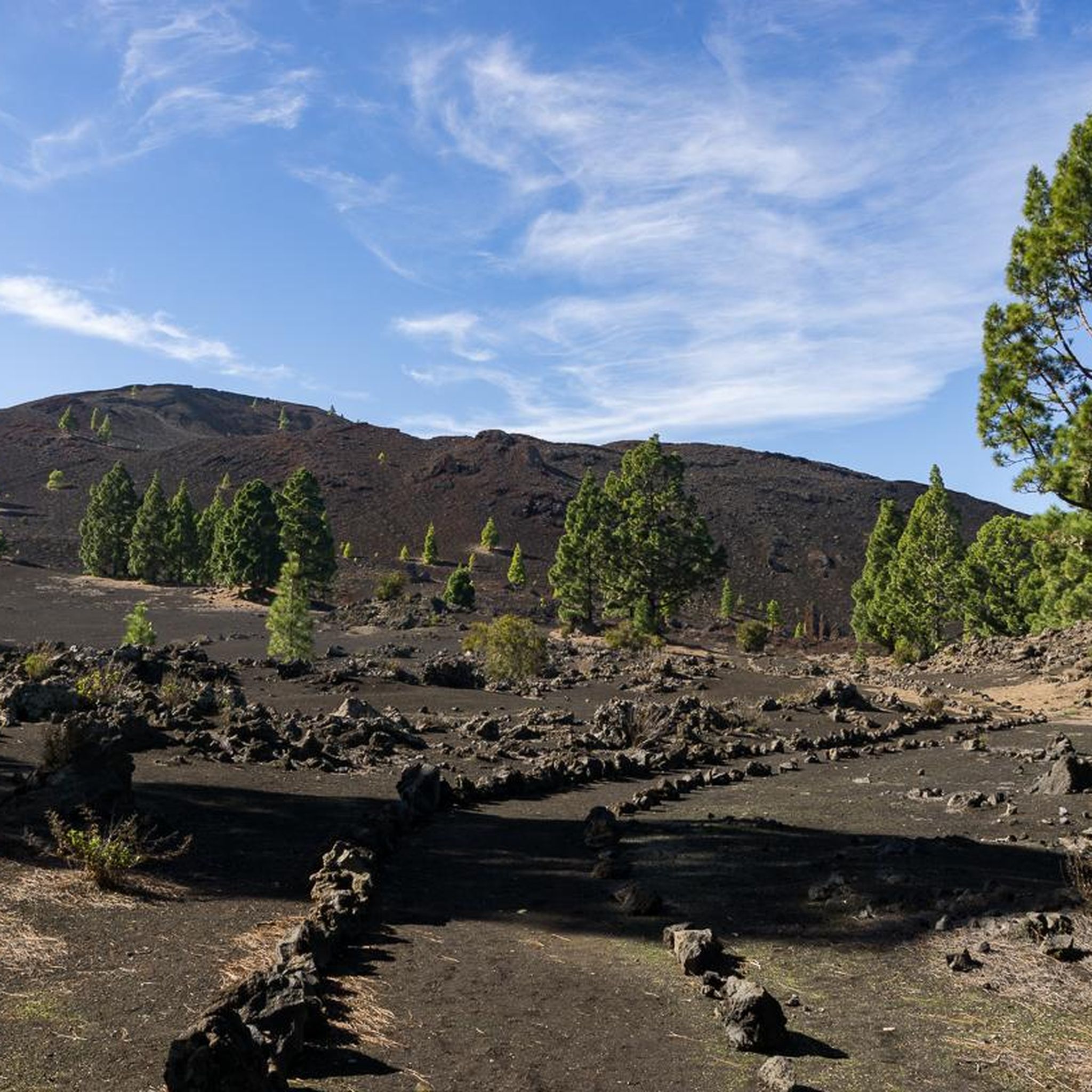
Hiking around Garachico, Tenerife, offers diverse terrain shaped by volcanic activity. The region features dramatic lava fields, rugged coastlines with cliffs, and natural pools formed by cooled lava. Inland, the landscape transitions to Canarian pine forests and lush laurel forests, particularly in areas bordering the Teno Rural Park. This geological history provides a unique backdrop for outdoor exploration.
Best hiking trails around Garachico
- The most popular hiking route is Acantilados de la Culata – from San Juan del Reparo to Garachico, a 4.1 miles (6.6 km) trail that takes 2 hours 35 minutes to complete. This moderate route descends along coastal cliffs, offering panoramic views of the ocean and Garachico.
- Another top favourite among local hikers is View of the Chinyero Volcano – Montaña Negra loop from Reserva Natural Especial del Chinyero, a moderate 4.3 miles (7.0 km) path. It leads through volcanic landscapes and pine trees, providing views of the youngest volcano on Tenerife.
- Local hikers also love the Montaña Negra – Montaña Negra loop from Reserva Natural Especial del Chinyero, a 6.7 miles (10.8 km) trail leading through volcanic terrain and pine forests, often completed in about 3 hours 3 minutes.
- Hiking around Garachico is defined by volcanic landscapes, coastal paths, and pine and laurel forests. The network offers options for various ability levels, from easy family walks to more challenging moderate routes.
- The routes in Garachico are highly rated by the komoot community with an average score of 4.5 stars from over 1600 reviews. More than 5600 hikers have used komoot to explore Garachico's varied terrain.
Last updated: October 6, 2026
4.5
(154)
687
hikers
6.60km
02:35
490m
500m
Moderate hike. Good fitness required. Mostly accessible paths. Sure-footedness required.
4.9
(342)
1,046
hikers
6.97km
02:03
210m
210m
Moderate hike. Good fitness required. Easily-accessible paths. Suitable for all skill levels.

4.8
(151)
423
hikers
10.8km
03:03
230m
240m
Moderate hike. Good fitness required. Easily-accessible paths. Suitable for all skill levels.
4.5
(146)
422
hikers
Moderate hike. Good fitness required. Easily-accessible paths. Suitable for all skill levels.
4.4
(58)
183
hikers
10.3km
03:32
520m
520m
Moderate hike. Good fitness required. Easily-accessible paths. Suitable for all skill levels.
Get access to more routes and recommendations from other explorers.
Already have an account?
Our route recommendations are based on thousands of hikes, rides, and runs completed by other people on komoot.
Start today with a free account
Your next adventure awaits.
Popular around Garachico
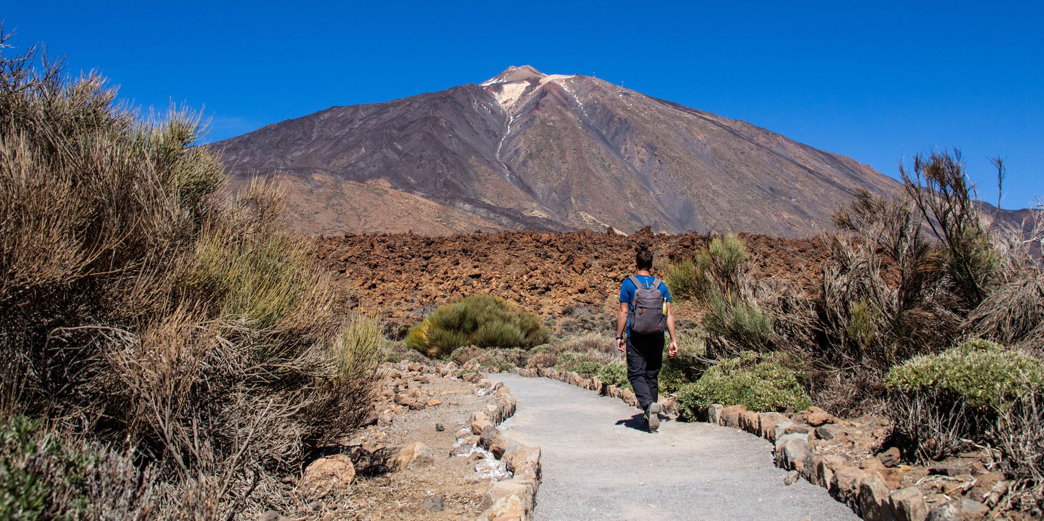
Adventuring in Tenerife — six hiking Tours for every taste
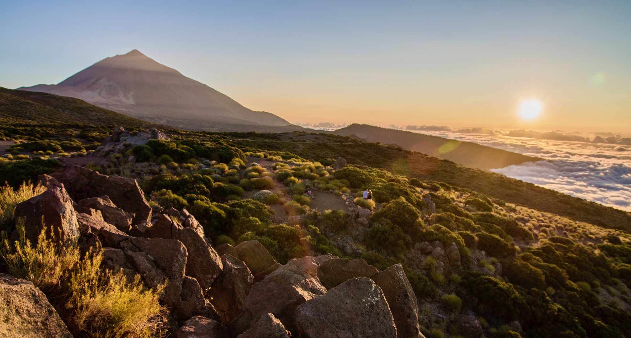
From volcanic peaks to pristine beaches – A hiking paradise in Tenerife
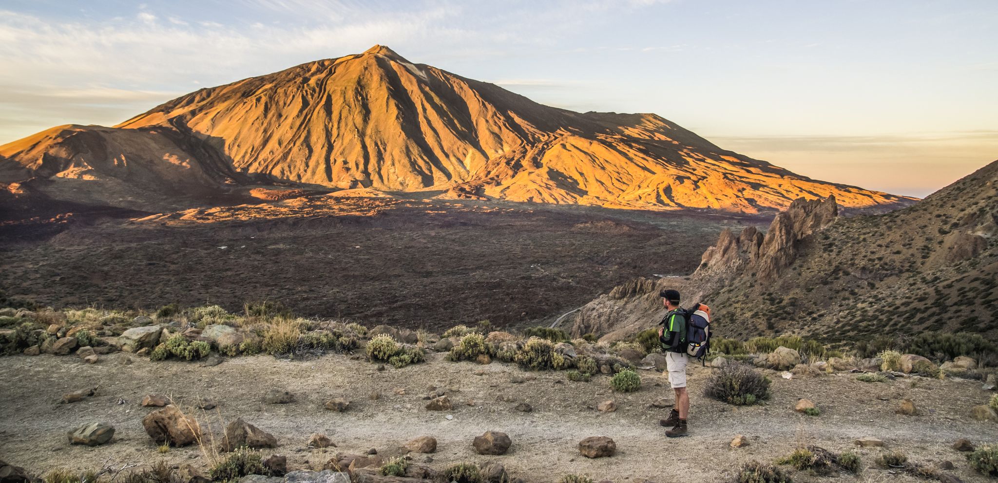
The most beautiful hiking adventures on Tenerife
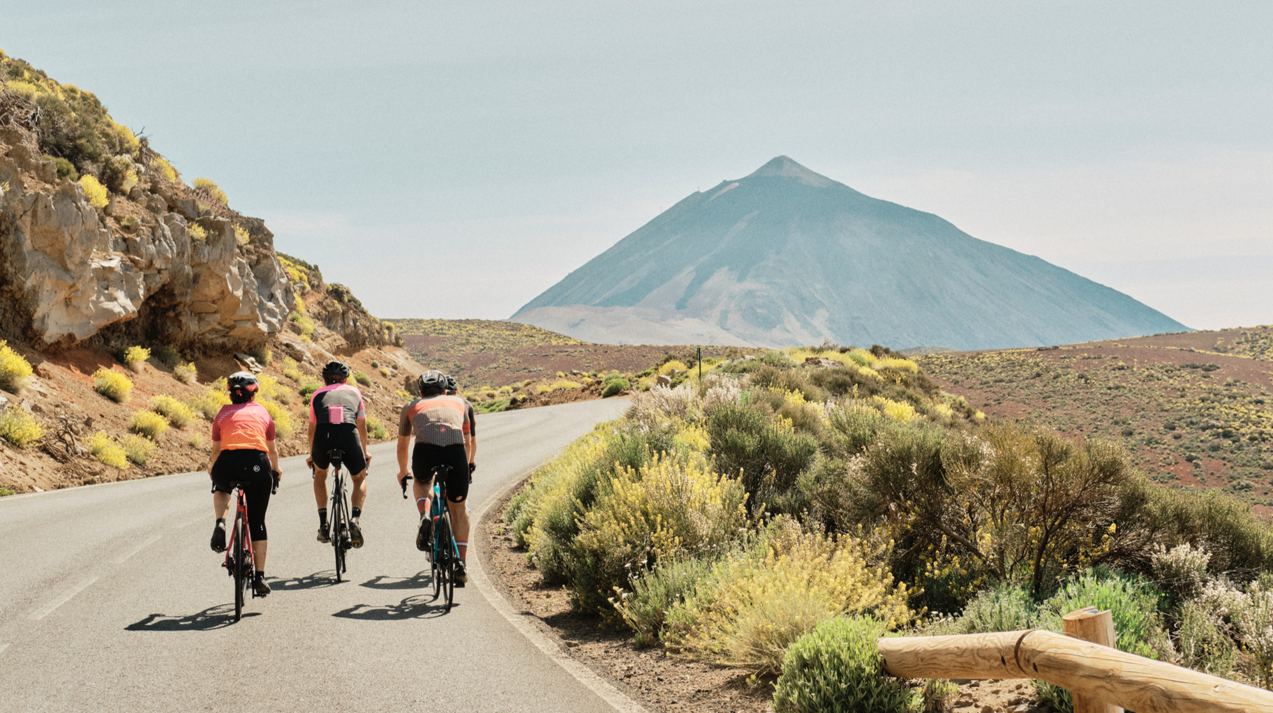
Tenerife by road bike — cycling between forests and volcanoes
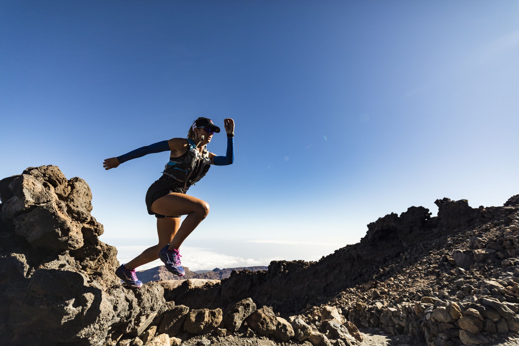
Trail running in Tenerife – dreamy routes between sea and mountain
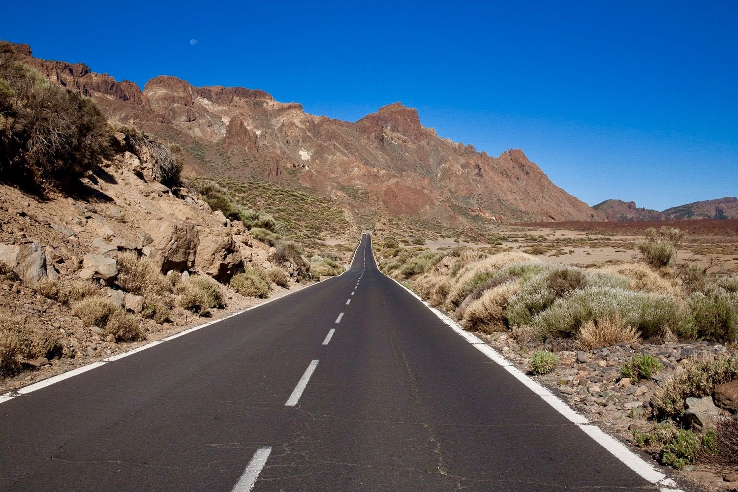
Tenerife by race bike — sunny rides on a volcanic island
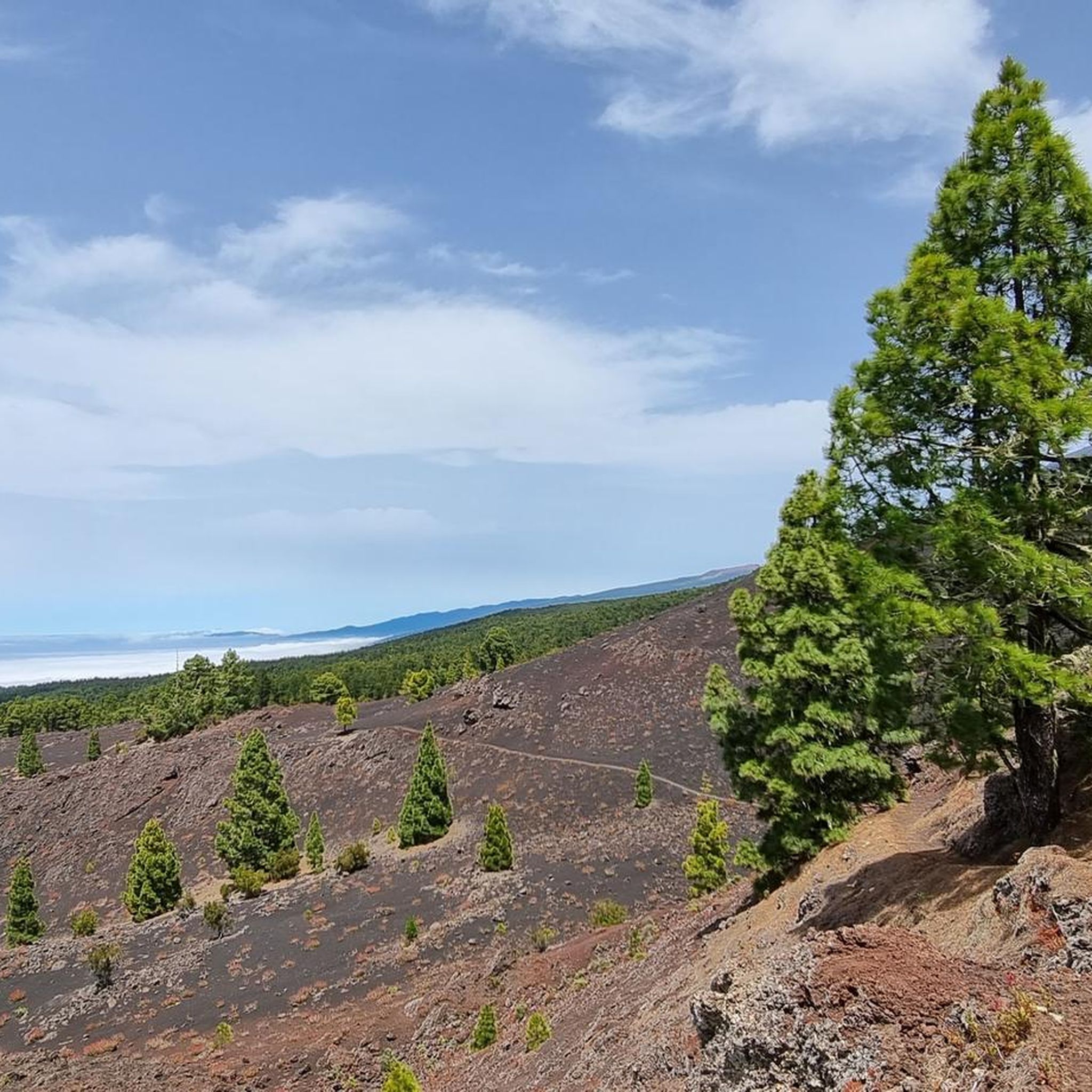
Road Cycling Routes around Garachico
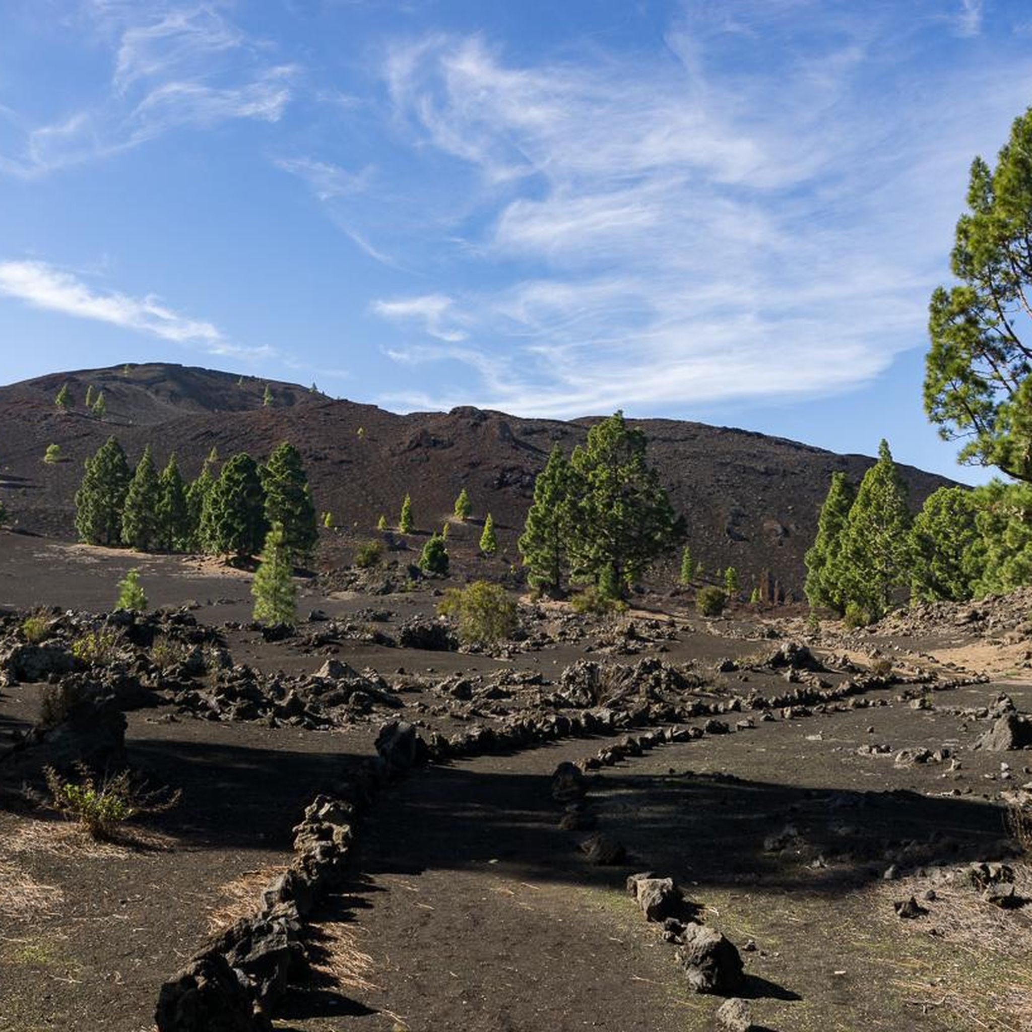
Running Trails around Garachico
Cycling around Garachico

Gravel biking around Garachico
Other adventures around Garachico


Tips from the Community

• This is one of the most valuable monuments on the island. The original building was erected in 1591. Unlike St. Anne's Church or the entire port, this small temple miraculously survived the catastrophic volcanic eruption of 1706 completely unscathed. The powerful river of glowing lava flowing down from the cliffs split higher up and flowed around the thick stone walls of the chapel on both sides, without destroying the structure itself.
0
0
• The original temple was built in 1520 on the foundation of the city's founder, the Genoese banker Cristóbal de Ponte. During a catastrophic volcanic eruption in 1706, streams of molten lava hit the structure directly, destroying it almost completely. Only the stone foundations and Renaissance entrance portals survived. The current, three-nave structure is the result of a major reconstruction from 1714–1721.
0
0

Absolutely recommendable hiking area, not too busy. Sturdy shoes/hiking boots are definitely recommended! 😎👍
0
0

Great natural pools in El Caleton (Garachico), very beautiful to look at and highly recommended.
1
0

This idyllic park was once the entrance to the city and the old harbor. A preserved archway serves as a reminder of this.
6
0
The monastery is located on the central square in Garachico and consists of several buildings, including the Church of Santa Ana. It features an interesting mix of Gothic and Renaissance styles. It has been restored many times over the centuries and now houses the Garachico Museum of Art and History.
6
0
A central and very beautiful square in Garachico. It features stunning historic buildings. The square itself invites visitors to linger with its many benches under large trees and a pavilion serving refreshments.
7
0
Castillo de San Miguel was built in the 16th century to protect the flourishing port, then the largest on the north coast, from pirates. Although the volcanic eruption of 1706 almost destroyed the town, the fortress survived the eruption largely unscathed. Today it houses a small museum about the town's history.
2
0
Frequently Asked Questions
How many hiking trails are available around Garachico?
There are over 75 hiking trails in and around Garachico, offering a wide variety of options for different skill levels and preferences. The komoot community has explored more than 5,600 routes in the area.
What kind of terrain can I expect on hikes in Garachico?
Hiking around Garachico offers incredibly diverse terrain. You'll encounter dramatic volcanic landscapes, including lava fields and black sands, especially on trails near the youngest volcanic cones. Coastal paths feature rugged cliffs and ocean views, while inland routes lead through Canarian pine forests and lush laurel forests, particularly towards the Teno Rural Park.
Are there easy or family-friendly hiking options in Garachico?
Yes, Garachico offers many easy and family-friendly walks. There are 29 easy routes, including options like the 'Tour of the Chinyero volcano,' which allows visitors to walk among volcanic fallout and pine trees. These trails are generally less strenuous and suitable for beginners or families with children.
Are there any circular hiking routes around Garachico?
Yes, many routes in Garachico are circular. For example, the View of the Chinyero Volcano – Montaña Negra loop from Reserva Natural Especial del Chinyero is a moderate 4.3-mile (7.0 km) path through volcanic landscapes. Another popular option is the Montaña Negra – Montaña Negra loop from Reserva Natural Especial del Chinyero, a 6.7-mile (10.8 km) trail through similar terrain.
What are the best routes for panoramic views of Garachico and the coast?
For spectacular panoramic views, consider routes that lead to viewpoints like Mirador de La Culata or Mirador del Emigrante. The Acantilados de la Culata – from San Juan del Reparo to Garachico trail, for instance, descends along coastal cliffs, offering breathtaking ocean vistas and views of Garachico.
What do other hikers say about the trails in Garachico?
The hiking routes in Garachico are highly rated by the komoot community, with an average score of 4.5 stars from over 1600 reviews. Hikers often praise the unique volcanic landscapes, the stunning coastal views, and the variety of trails suitable for different abilities.
Are there any challenging hikes in the Garachico area?
While many routes are moderate, there are 6 difficult trails for experienced hikers seeking a challenge. These often involve more significant elevation changes or rugged terrain. For example, the View of Garachico – Puerta de Tierra Park loop from Garachico is a moderate route with over 500 meters of elevation gain and loss, offering a good workout.
Can I find natural swimming spots after a hike in Garachico?
Yes, Garachico is famous for its natural swimming pools, El Caletón. These pools were formed by cooled lava rocks after the 1706 volcanic eruption and offer a unique place to swim, especially at low tide, or to observe the waves at high tide. They are a magnificent natural spectacle and a great way to cool off.
What interesting natural landmarks can I see near Garachico?
Garachico is surrounded by fascinating natural landmarks. The Roque de Garachico Natural Monument, a prominent volcanic rock formation just off the coast, is a significant natural landmark and a refuge for migratory birds. Further afield, you can explore other natural monuments like Roque Cinchado or La Catedral, Teide National Park.
Is there public transport available to reach hiking trailheads in Garachico?
Garachico is well-connected by local bus services (guaguas) that can take you to various points within the municipality and to nearby towns, which may serve as starting points for different trails. It's advisable to check local bus schedules for specific routes to trailheads.
What is the best time of year to hike in Garachico?
Garachico enjoys a comfortable climate year-round, making it an ideal destination for outdoor activities in any season. The mild temperatures and consistent weather patterns mean you can plan a hiking trip almost anytime, though spring and autumn offer particularly pleasant conditions.
Are there any routes that explore the volcanic history of the area?
Absolutely. Many trails in Garachico are centered around its volcanic past. Routes like the View of the Chinyero Volcano – Montaña Negra loop from Reserva Natural Especial del Chinyero take you directly through lava fields and black sands, offering an extraordinary glimpse into the aftermath of the 1706 eruption and the youngest volcano on Tenerife.
Most popular attractions around Garachico

Get inspired with the komoot mobile app


Explore more
Browse the best Hikes in other regions.
