The best mountain hikes around Tazacorte
3.8
(4)
37
hikers
9
hikes
Mountaineering around Tazacorte, located on the island of La Palma, features a landscape shaped by volcanic activity, offering diverse terrain for exploration. The region is characterized by deep barrancos, ancient caldera rims, and elevated peaks, providing challenging ascents and panoramic views. Routes often traverse through varied ecosystems, from pine forests to more exposed, rocky slopes. The area's geological history contributes to its unique and rugged mountaineering environment.
Best mountaineering routes around Tazacorte
- The most popular mountaineering route is El Rodeo…
Last updated: October 18, 2026
4.5
(2)
18
hikers
14.5km
05:47
690m
690m
Hard mountaineering route. Very good fitness required. Mostly accessible paths. Sure-footedness required.
5.0
(1)
12
hikers
10.8km
04:15
780m
780m
Hard mountaineering route. Good fitness required. Sure-footedness, sturdy shoes and alpine experience required.

2.0
(1)
4
hikers
16.8km
06:41
990m
990m
Hard mountaineering route. Very good fitness required. Mostly accessible paths. Sure-footedness required.
3
hikers
19.9km
07:51
1,030m
1,030m
Hard mountaineering route. Very good fitness required. Mostly accessible paths. Sure-footedness required.
Hard mountaineering route. Very good fitness required. Mostly accessible paths. Sure-footedness required.
Get access to more routes and recommendations from other explorers.
Already have an account?
Our route recommendations are based on thousands of hikes, rides, and runs completed by other people on komoot.
Start today with a free account
Your next adventure awaits.
Other adventures around Tazacorte

Tips from the Community

This spectacular volcanic ridge offers, on either side of the trail, wide views of the Atlantic and the pine-covered slopes. Looking ahead, you can also admire the rugged relief of the ridge.
0
0

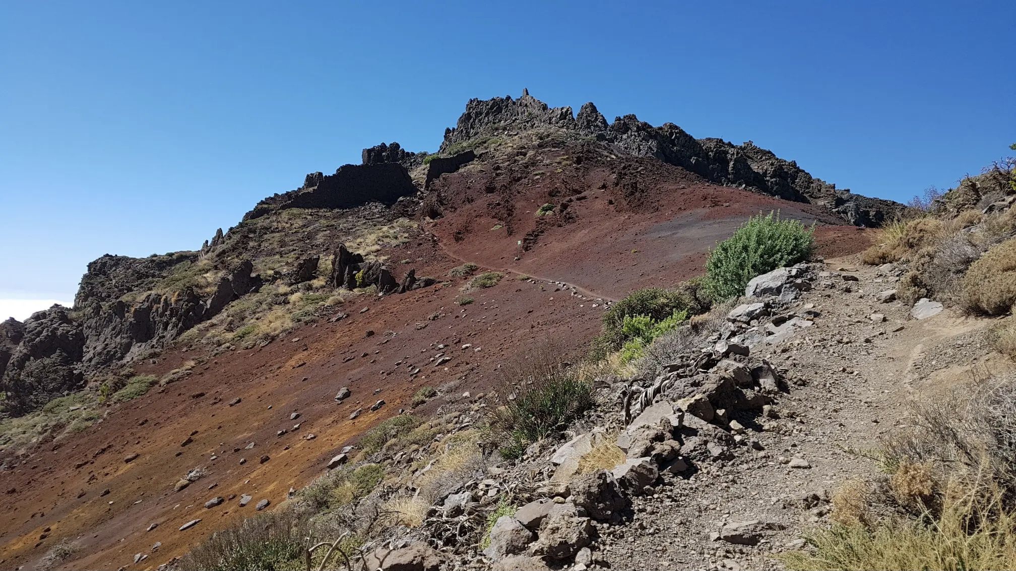
The highest peak on the volcano route, offering a magnificent panoramic view: of the caldera, Tenerife with Mount Teide, and the next volcanic craters along the route. Caution: it can be quite windy on the ascent.
0
0

Highest point of the Ruta de los Volcanos from El Pilar to Fuencaliente
0
0
This is an easy trail that offers a good view of the caldera of the vulcano.
0
0
From this viewpoint, the Ruta de los Vulcanos curves to the right of the Volcán Duráznero, but there is another trail that takes you straight over the top of this volcano and the next one, the Deseada.
0
0
Just after the start of the 17 km long Ruta de los Vulcanos from El Pilar to Fuencaliente, you will pass the only viewpoints of the Caldera de Taburiente.
0
0
Don't forget to say a little prayer to the Madonna in the visitor centre before you set off on the 17 km hike to Fuencaliente. It just might help!
0
0

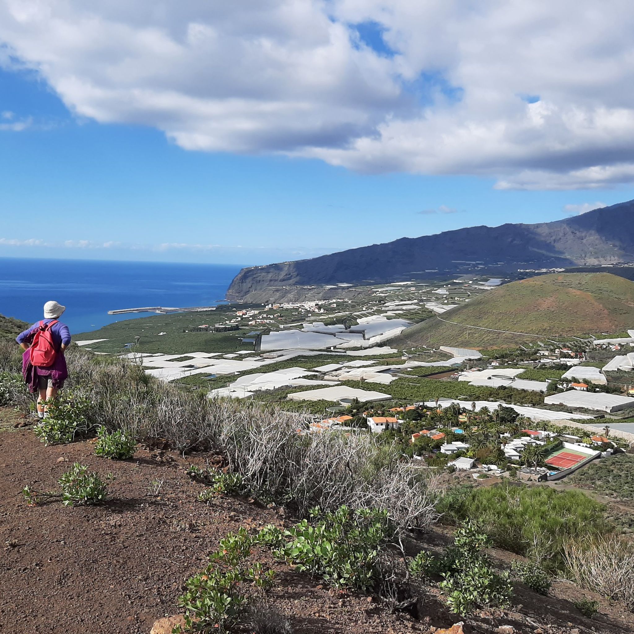
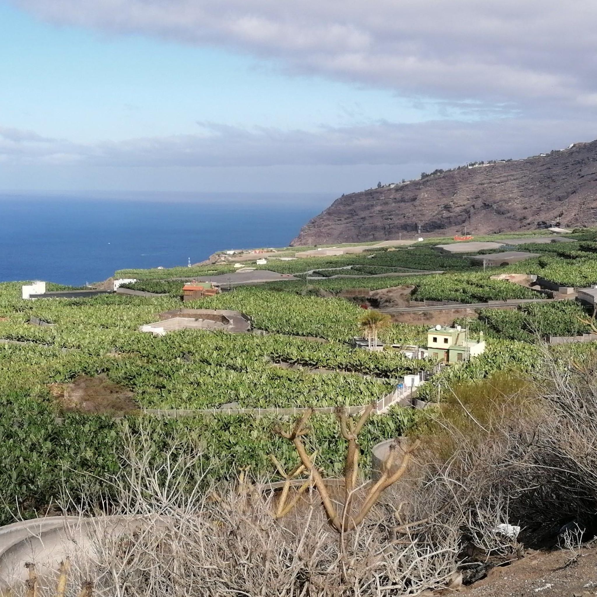
A very beautiful vantage point on the Camino de Gordian. The view sweeps over the Aridane Valley and the Cumbre Vieja in the background.
0
0
Frequently Asked Questions
How many mountaineering routes are available around Tazacorte?
There are over 10 dedicated mountaineering routes around Tazacorte, offering a range of challenges across the island's volcanic terrain. Most of these routes are considered difficult, providing significant elevation gain and expansive views.
Are there any moderate mountaineering routes near Tazacorte for less experienced climbers?
Yes, while many routes are challenging, there are a few moderate options. For example, the Mirador Barranco Jurado – Porís de Candelaria loop from Tijarafe is a moderate 11 km route that takes around 4 hours 17 minutes. Another good choice is the Pico Nambroque – Montaña la Barquita loop from Montaña de los Tomillos, which is about 12.3 km and typically takes 4 hours 50 minutes.
What kind of terrain can I expect on mountaineering routes in Tazacorte?
Mountaineering around Tazacorte is characterized by its volcanic landscape. You'll encounter deep barrancos (ravines), ancient caldera rims, and elevated peaks. Routes often traverse varied ecosystems, from dense pine forests to more exposed, rocky slopes, showcasing the island's dramatic geological features.
Are there any circular mountaineering routes in the Tazacorte area?
Yes, many of the mountaineering routes around Tazacorte are designed as loops, allowing you to start and finish at the same point. Popular circular options include the challenging El Rodeo – Pico Bejenado loop from Start of Pico Bejenado hike and the Hoyo Negro Crater – Deseada Peak loop from Montaña de los Tomillos.
What are some notable peaks or viewpoints I can reach on these routes?
The region offers access to several impressive peaks and viewpoints. You can ascend to Pico Bejenado, explore the area around Martín Volcano, or visit the Raven Rock for panoramic vistas. The Los Brecitos Viewpoint – Barranco de las Angustias loop from Caldera de Taburiente also offers stunning views into the iconic Caldera de Taburiente National Park.
Are there any interesting caves or geological features to explore near the mountaineering paths?
Absolutely. The volcanic nature of La Palma has created fascinating cave systems. You might encounter the unique settlement of Porís de Candelaria, a village built into a sea cave, or explore the intriguing La Cueva del Dragón (The Dragon's Head Rock). Some routes also pass by features like Hoyo de la Sima.
What do other mountaineers say about the routes in Tazacorte?
The mountaineering routes around Tazacorte are highly rated by the komoot community, with an average score of 4.6 out of 5 stars from over 20 reviews. Mountaineers often praise the challenging ascents, the dramatic volcanic landscapes, and the rewarding panoramic views of La Palma.
Is Tazacorte suitable for advanced mountaineers?
Yes, Tazacorte is particularly well-suited for advanced mountaineers. The majority of the routes, such as the El Rodeo – Pico Bejenado loop and the Hoyo Negro Crater – Deseada Peak loop, are classified as difficult, featuring significant elevation gains and rugged terrain that will test experienced climbers.
What is the best time of year for mountaineering in Tazacorte?
La Palma generally enjoys a mild climate year-round, making mountaineering possible in most seasons. However, the cooler, drier months from autumn to spring (October to May) are often preferred for more comfortable conditions, especially on higher altitude routes. Summers can be hot, particularly at lower elevations.
Are there any specific considerations for public transport access to trailheads around Tazacorte?
Public transport on La Palma, primarily buses (guaguas), can connect you to some of the larger towns and villages near trailheads. However, access to more remote starting points for mountaineering routes may be limited. It's advisable to check local bus schedules in advance and consider car rental or taxis for greater flexibility, especially for early morning starts or late finishes.
Are permits required for mountaineering in the Tazacorte area, especially within national parks?
For routes within the Caldera de Taburiente National Park, such as parts of the Los Brecitos Viewpoint – Barranco de las Angustias loop, certain access points or overnight stays may require permits. It's always recommended to check the official National Park website for the latest regulations before planning your trip, as rules can change.
Most popular attractions around Tazacorte

Get inspired with the komoot mobile app


Explore more
Browse the best Mountain Hikes & Routes in other regions.
