The best MTB trails around Ingenio
4.4
(206)
1,742
riders
18
rides
Mountain biking around Ingenio Gran Canaria offers diverse terrain across a dramatic volcanic landscape. The region features significant elevation changes, from coastal areas to peaks reaching up to 1,200 meters, providing varied routes. Riders can expect technical singletrack through pine forests, wide tracks in rocky canyons, and routes that transition from high-altitude trails to the ocean. This topography ensures challenging climbs and descents with minimal flat ground.
Best mountain bike trails around Ingenio
- The most popular mountain bike trail is…
Last updated: October 5, 2026
12
riders
61.3km
05:30
2,090m
2,090m
Hard mountain bike ride. Very good fitness required. Suitable for all skill levels.
8
riders
22.0km
01:27
330m
330m
Moderate mountain bike ride. Good fitness required. Suitable for all skill levels.

7
riders
Moderate mountain bike ride. Great for any fitness level. Advanced riding skills necessary.
5.0
(1)
8
riders
31.0km
03:11
1,260m
1,260m
Hard mountain bike ride. Very good fitness required. Suitable for all skill levels.
8
riders
23.5km
01:54
570m
570m
Moderate mountain bike ride. Good fitness required. Suitable for all skill levels.
Get access to more routes and recommendations from other explorers.
Already have an account?
Our route recommendations are based on thousands of hikes, rides, and runs completed by other people on komoot.
Start today with a free account
Your next adventure awaits.


Tips from the Community

Pretty stretch of beach and not so crowded
0
0


Apart from the steep incline, easy to walk
0
0


A very nice route, but I'd prefer to do it the other way around. That way, the steep, scrambling section is the ascent. The descent was very slippery and covered in scree. The ascent was partly paved and paved.
0
0
Highly recommended for the price (just under €10). Lots of interesting animals, plenty of animal demonstrations and feedings, but all the explanations are overwhelmingly in Spanish. English explanations are rather rudimentary, and there are only a few panels in German. You just have to imagine for yourself...
0
0

Certainly a very beautiful route high on the peaks. I must say in the direction we walked. Clockwise. The descent is quite steep. If you are not sure of yourself. Or are not real mountain hikers. It can be scary. Be sure to take sticks. Good luck
0
0

Exceptional hike. Be careful, very steep path. The landscape is magnificent, as is the vegetation. Good hiking shoes highly recommended.
0
1
Frequently Asked Questions
How many mountain bike trails are there around Ingenio?
Ingenio offers a wide selection of mountain bike trails, with over 130 routes available on komoot. These trails cater to various skill levels, ranging from moderate to difficult, ensuring there's something for every rider.
What is the best time of year to go mountain biking in Ingenio?
Gran Canaria, including Ingenio, is renowned as a premier European mountain biking destination, especially during the winter months. Its favorable climate makes it suitable for year-round outdoor pursuits, but the cooler, drier winter offers ideal conditions.
What kind of terrain can I expect on mountain bike trails near Ingenio?
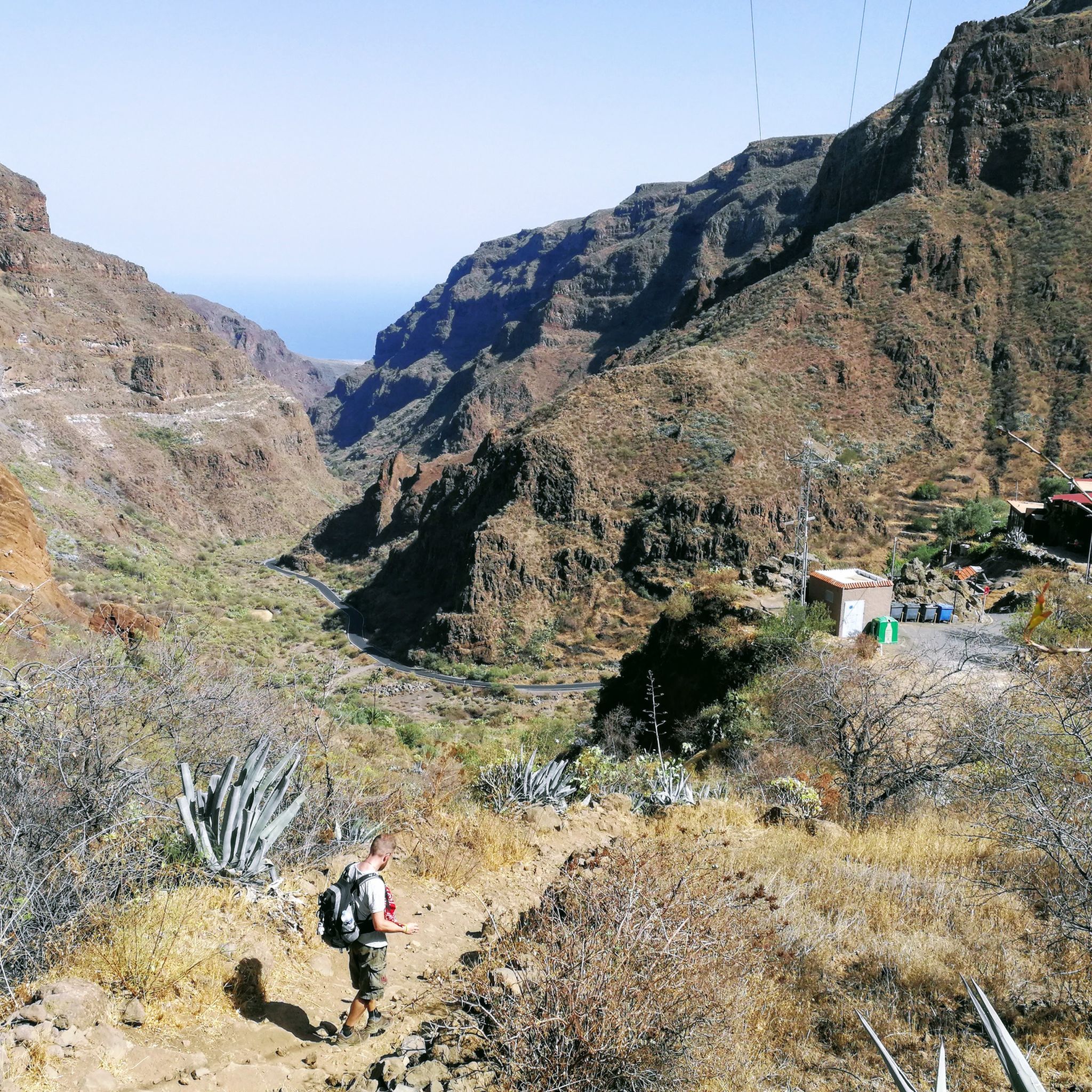
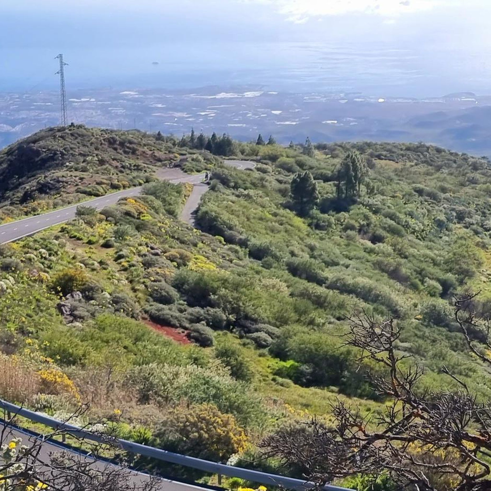
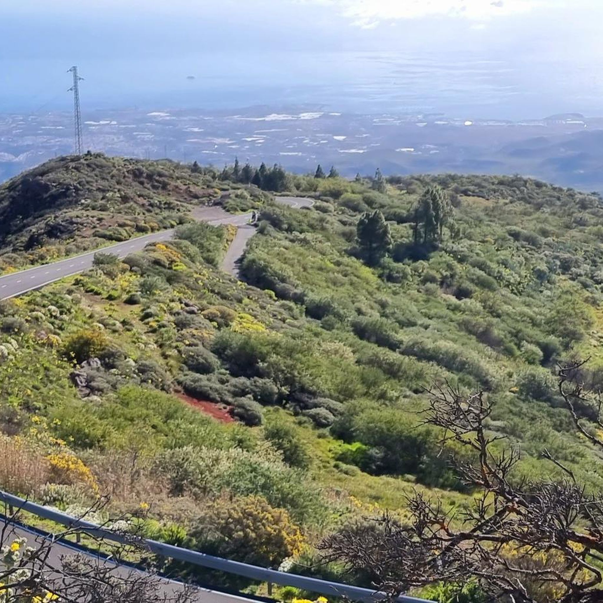
The terrain around Ingenio is incredibly diverse, characterized by a dramatic volcanic landscape. You'll find everything from technical singletrack through pine forests to wide, fast tracks winding through rocky canyons. Routes often involve significant climbing and descending, with little flat ground, and can take you from high-altitude trails down to the ocean.
Are there any circular mountain bike routes in Ingenio?
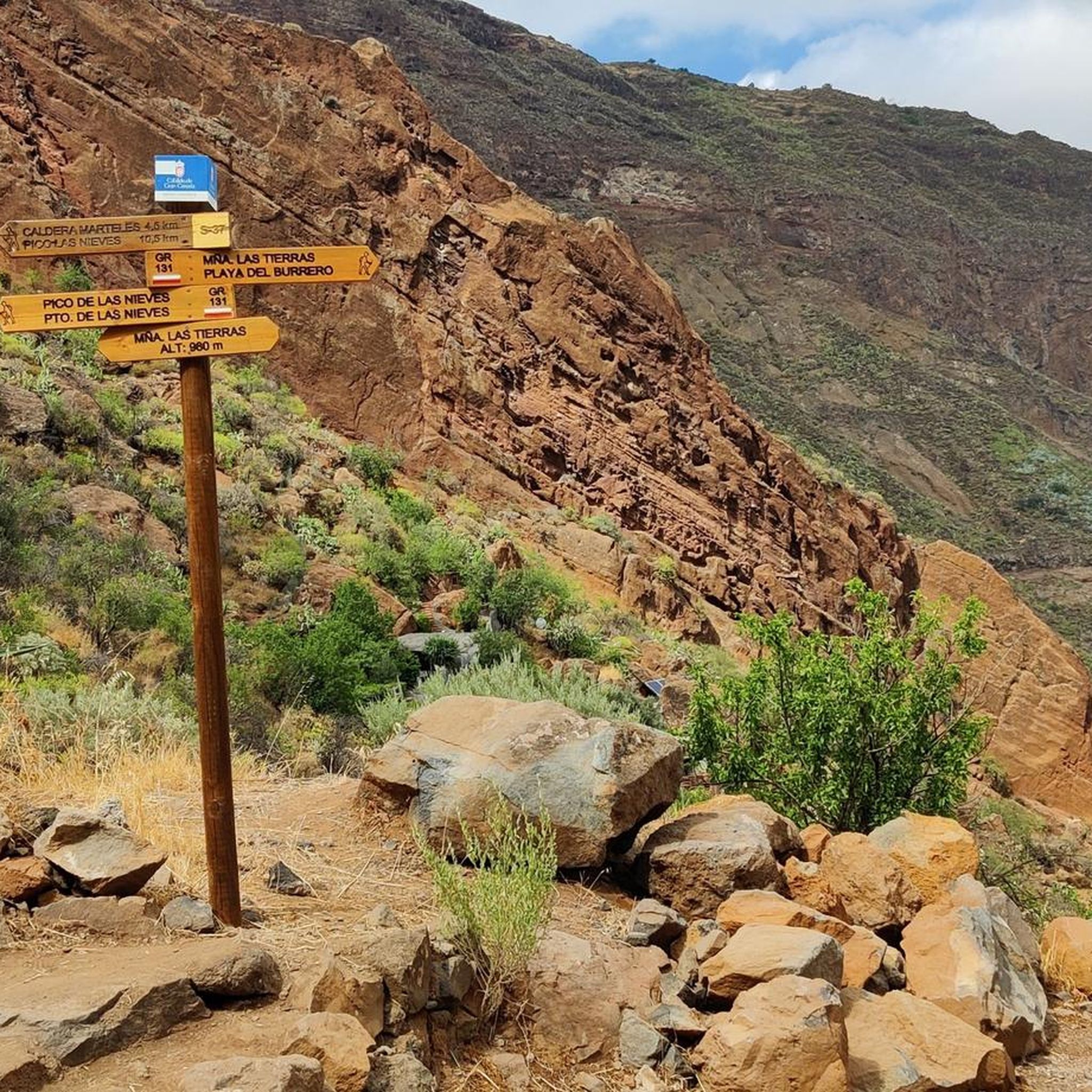
Yes, there are several circular mountain bike routes available. For example, the moderate Caldera de los Marteles – Pico de las Nieves summit loop from Reserva Natural Especial de los Marteles offers a scenic loop around a volcanic caldera. Another option is the Cocodrilo Park Gran Canaria – Camel Sculpture loop from Carrizal, a moderate 22.4 km route.
What are the difficulty levels of mountain bike trails in Ingenio?
Mountain bike trails in Ingenio range from moderate to difficult. Out of 135 routes, 74 are classified as moderate and 54 as difficult. This variety ensures that both experienced riders looking for a challenge and those seeking a less strenuous ride can find suitable options.
Are there any waterfalls or natural monuments to see along the mountain bike trails?
Yes, the region boasts several natural attractions. You might encounter a Small Waterfall or a Large Waterfall. Notable natural monuments in the wider area include the iconic Roque Nublo and the Pico de las Nieves summit, which offer breathtaking views.
What do other mountain bikers enjoy most about mountain biking in Ingenio?
The mountain bike trails around Ingenio are highly rated by the komoot community, with an average score of 4.4 stars from over 190 reviews. Riders often praise the diverse terrain, the challenging climbs and descents, and the stunning panoramic views that showcase the island's geological diversity.
Are there any long-distance mountain bike routes available?
Yes, for those seeking longer rides, Ingenio offers several extensive routes. The difficult Rocky Panorama Trail – Santa Lucía Church loop from Agüimes covers 63.1 km, while the Pico de las Nieves summit – Burrero Beach loop from El Burrero is a challenging 60.2 km ride that takes you from volcanic peaks to coastal areas.
Can I find mountain bike routes that go from the mountains to the coast?
Absolutely. Ingenio's unique topography allows for routes that transition dramatically from high-altitude trails down to the ocean. A prime example is the difficult Pico de las Nieves summit – Burrero Beach loop from El Burrero, which offers this exact experience, connecting volcanic peaks with coastal areas.
Are there any mountain bike trails suitable for beginners or families in Ingenio?
While many routes in Ingenio are moderate to difficult due to the significant elevation changes, there are a few easier options. Out of 135 routes, 7 are classified as easy. These might be more suitable for beginners or families looking for a less strenuous introduction to mountain biking in the area.
What kind of views can I expect on the mountain bike trails?
The mountain bike trails in Ingenio offer breathtaking panoramic views. Due to the volcanic landscape and significant elevation changes, you can expect vistas of volcanic calderas, pine forests, and dramatic coastlines. High-altitude areas often provide stunning views that sometimes rise above the clouds.
Are there any coastal mountain bike routes near Ingenio?
Yes, Ingenio's proximity to the coast means you can find routes that incorporate coastal sections. The moderate Burrero Beach – Punta de Arinaga Lighthouse loop from Gran Canaria Airport is a 27.5 km route that allows you to experience the coastal environment on your mountain bike.
Most popular routes around Ingenio
Most popular attractions around Ingenio

Get inspired with the komoot mobile app


Explore more
Browse the best MTB trails in other regions.
